ROAD DEVELOPMENT AND ROAD CONSTRUCTION IN LAOS

Upgrading of Road 0119 along the Mekong from the Friendship Bridge to Road 13 South

A 26.2-km road under construction (Rd. 0119) is also designed to serve as an embankment to prevent flooding in Vientiane and also handle rising numbers of vehicles from other parts of the capital. Built under the US$36.5-million Flood and Drought Risk Management and Mitigation Project (FDM), the road will connect the Friendship Bridge near Thanalaeng village in Hadxaifong district to the Huaymark Hiew (Huai Mak-Niao) water gate near Ban Makhiao in Pak Ngum District. The road in question will connect with a 10-km plus concrete road in Phao / Ban Naxone village which is under construction and National Road No. 13 South.

View attachment 54293 View attachment 54292

Once completed, motorists in southern Vientiane can save time and money using this route in travelling to central and southern provinces. The move will also contribute to minimising traffic congestion on other roads in the capital. FDM project coordinator Mr Khamphachanh Vongsana told Vientiane Times yesterday that the 26.2-km road is about 46 percent completed and will finish next year. The road has a total cost of US$10.2 million and began construction last year.

Source: Based on Vientiane Times - (Latest Update August 11, 2017)


A 26-km road running along the Mekong River in the south of Vientiane is being paved with asphalt, with the work to be completed before the start of the rainy season. It provides an alternative route for traffic travelling through the south of Vientiane and alleviates the load on Kaysone Phomvihane Road, which carries most vehicles heading for the southern provinces.

"Although resurfacing has yet to be completed, many heavy trucks, especially those carrying cement and steel, are taking this route," Dr Khamchanh said. The upgrade is now 56.4 percent complete. An 8km section has been paved in Khuaydaeng village while another 6km section at Xieng Khuan Buddha Park will be re-surfaced by the end of April, and all of the asphalt will be laid before the rainy season arrives. With a price tag of US$10.2 million, the road is being built to Asean standards and will be able to withstand loads of up to 11 tonnes per axle.

Source: Vientiane Times (Latest Update March 12, 2018)
 
Thanks Auke, very informative as always. The 56.4% completion percentage went down particularly well my end; love precision statements in Laos :RE.

Have a good start into the new week
 
Thanks Auke, very informative as always. The 56.4% completion percentage went down particularly well my end; love precision statements in Laos :RE.

Have a good start into the new week

Yes, when I read that I always get the giggles as I can see these people sitting there tallying up all the things they have done and money spent on it and then calculate the completion percentage
 
Update on Road 4B

All in all it took me 4 hours to travel from Luang Prabang to Hongsa. At places the layer of bulldust (the very fine powdery stuff) was quite thick making the trip a very dusty affair.

So when will the road be ready? The original plan was that the road would be ready in 2018 but the contractor indicated that they encountered some problems resulting in a 4 month delay. However, to me it looks like that there will be at least a year delay so hopefully the road will be ready and paved sometime in 2019.


Xayaboury-Luang Prabang road upgrade over 70 percent complete

The upgrade of National Road No. 4B running from Hongsa district in Xayaboury province to Chomphet district in Luang Prabang province is currently more than 70 percent complete and is on track to be finished at the end of this year.

Project head for the first section of the upgrade (42 Km.), Mr Sengchan Khongsavan, told Vientiane Times last week that work was taking place over a total distance of 114km. The upgrade is taking place over two sections and he was in charge of the first section of 42 km. from Napong village to Phousamphan mountain in Hongsa district. This section is expected to be completed in August. Originally it was slated for completion in April but an agreement was signed with the government for a four-month extension. This section involved the construction of one concrete bridge. When the upgrade is complete, it will cut the travel time from a whole day to just two to four hours, he said.

Project head for the second section on the Luang Prabang side, Mr Sysomphanh Insyprasong, said he was in charge of a section that was at least 71 km. long. Work on this part was now about 75 percent complete and was scheduled to be finished in December. Asphalt has been laid on about 20 km. and seven concrete bridges will be built. Work on this stretch was delayed when a big landslide occurred last rainy season.

The route between Hongsa and Chomphet districts will end at the Mekong riverbank in Chomphet district where a bridge will span the river so that traffic can continue into the town of Luang Prabang and onwards. The commercial and residential heart of Chomphet district has been moved to the Xiengman area as the district centre was situated in a valley and could not be expanded. The new urban area is now about 6km away. The township was previously alongside the Mekong River, directly opposite downtown Luang Prabang.

Source: Vientiane Times (Latest Update March 27, 2018

Note LR - Up to now I am not aware that funding for the bridge to be constructed between Chomphet and Luang Prabang has been obtained. Anyway, I'll be travelling next week along road 4B and I'll post some pictures of the work going on.
 
Upgrading of Road 0119 along the Mekong from the Friendship Bridge to Road 13 South

A 26.2-km road under construction (Rd. 0119) is also designed to serve as an embankment to prevent flooding in Vientiane and also handle rising numbers of vehicles from other parts of the capital. Built under the US$36.5-million Flood and Drought Risk Management and Mitigation Project (FDM), the road will connect the Friendship Bridge near Thanalaeng village in Hadxaifong district to the Huaymark Hiew (Huai Mak-Niao) water gate near Ban Makhiao in Pak Ngum District. The road in question will connect with a 10-km plus concrete road in Phao / Ban Naxone village which is under construction and National Road No. 13 South.

View attachment 54293 View attachment 54292

Once completed, motorists in southern Vientiane can save time and money using this route in travelling to central and southern provinces. The move will also contribute to minimising traffic congestion on other roads in the capital. FDM project coordinator Mr Khamphachanh Vongsana told Vientiane Times yesterday that the 26.2-km road is about 46 percent completed and will finish next year. The road has a total cost of US$10.2 million and began construction last year.

Source: Based on Vientiane Times - (Latest Update August 11, 2017)


The road from Thanalaeng to Huaymarkhiew (Huai Mak-Niao) is likely to be completed before the rainy season starts. The project is also expected to assist in reducing the impact of floods. Work on the project covers Hadxaifong, Xaythany and Pakngum districts and a total of 18 villages.

Source: Lao Economic Daily January 25, 2018
 
Slow but Sure?

The president of the road building company may have been a bit optimistic last year as of yesterday some 20 km. has now been paved so that is about 17 km. additionally paved in 1 year. The paved stretch has 3 bridges under construction but nothing was happening at the construction sites so it may take a bit longer to finish the whole road. Anyway, once the road is finished, it does provide a very nice and beautiful shortcut from the Vang Vieng area to the south of Laos. Actually even now it is a very nice ride as the unpaved part has been upgraded and it is very smooth ride all the way to just east of Pak Ngum where road 118 links with road 13 South

View attachment 56658
Views from the road to the north-east


Capture 0118.JPG

January 2018 - The road is now 80% complete with 30 km. of the 47 km. long road having been paved and 2 bridges finished. It is expected that the road will be finished in July 2018.

Source: Vientiane Times 31 January 2018
 
Xayaboury's Paklai-Thongmixay road completion postponed to June

The upgrade of a 69-kilometre road (Rd. 3610) between Paklai and Thongmixay districts in Xayaboury province is now 80 percent complete after a delay of almost three years. The progress was reported when Xayaboury provincial Governor Mr Phongsavanh Sitthavong carried out an inspection of the road recently. According to the project agreement, work on the road, which began in 2012, should have been finished by 2015 but the project ran into difficulties due to operational issues which added to the amount of work required.

Source: Vientiane Times 04 April 2018

Note LR: The Lao government has a policy to pave roads to district capitals so hopefully for the people in Ban Donphou (the capital of Thongmixay District) they will pave the road to where it links with Rd. 4 just north of Paklay.

Other than being the starting or end point of the single trail through the Nam Phouy NBCA between Thongmixai and Phiang districts, there is not much to see other than the ancient stupa - That Nang Sam Phiou (N18.40935 E101.17383).
IMG_7210.jpg


Another interesting if not weird thing is that Ban Savang (a Lao village) west of Ban Donphou appears to be located in Thailand with its Lao school and Lao health center on the Thai side of the border (according to the border on both official Thai and Laos maps). On the map below the thin Yellow line shows the International Border (very similar with the border lines shown on both the Thai and Laos maps), the Green line is the GPS track of a trip I did in 2014 in Laos and the Magenta line is road 1123 in Ban Bo Bia in Uttaradit Province in Thailand

BanSavang.jpg
 
Major upgrade slated for Sangthong-Paklai road

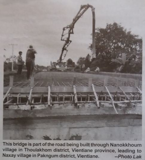
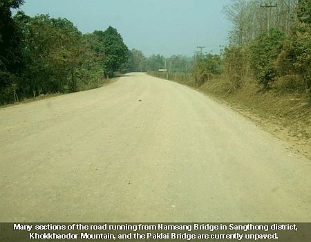
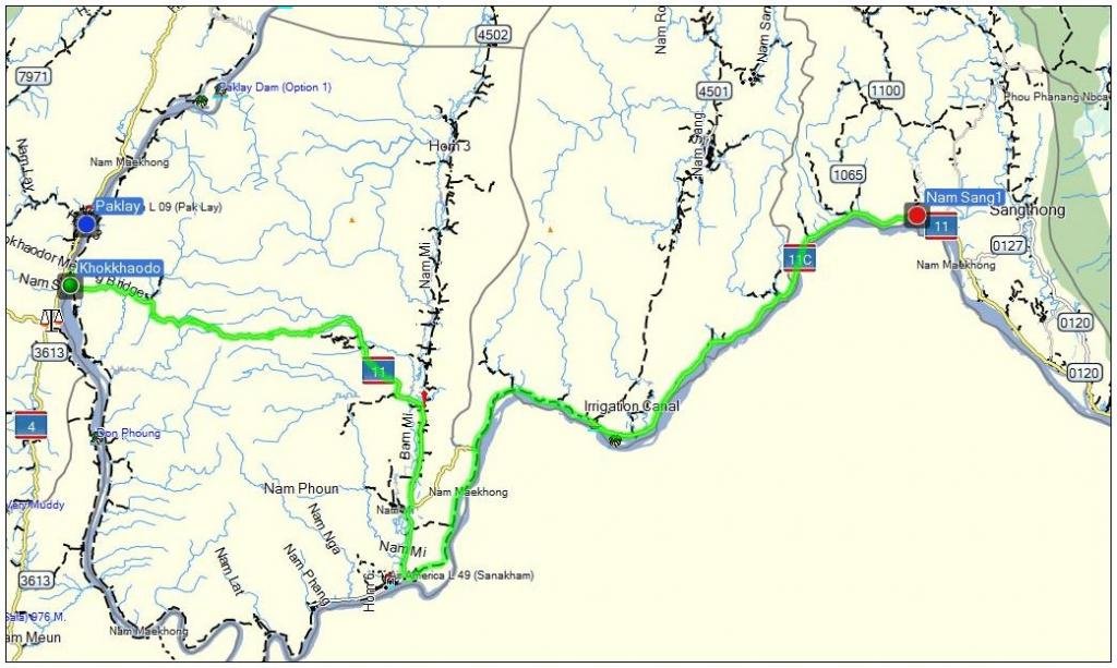
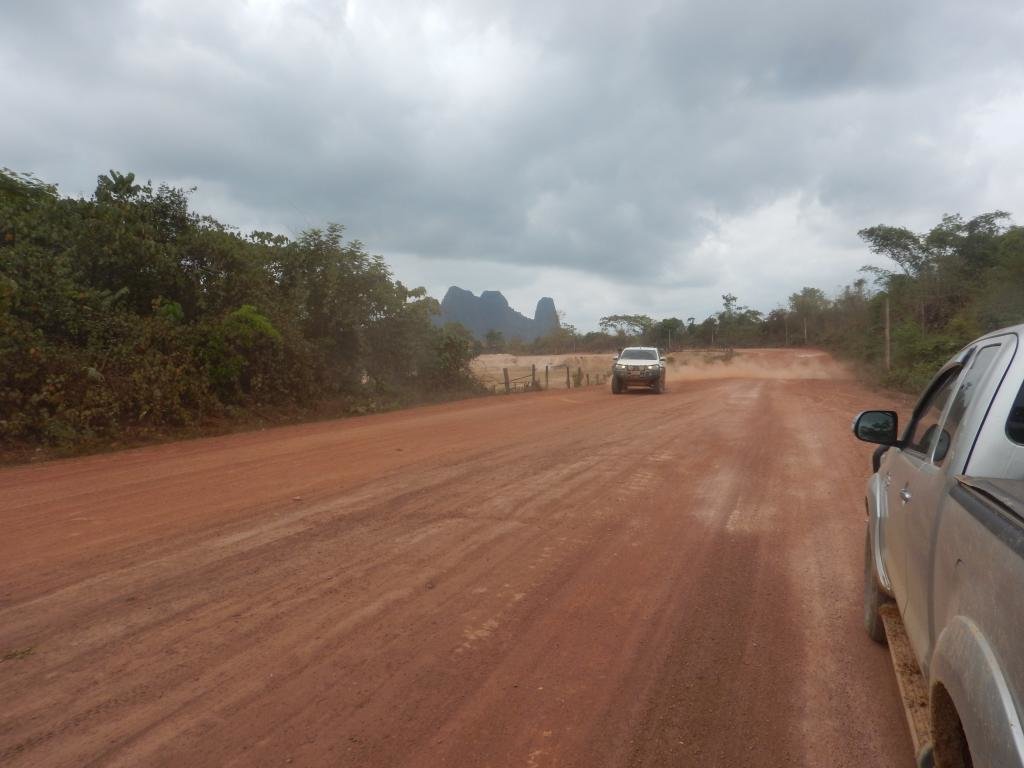
Construction of the 104.89 km road upgrade linking Vientiane’s rural Sangthong district to Paklai district in Xayaboury province is expected to start in October. The road runs along the Mekong River from Namsang Bridge in Namsang village, Sangthong district, Vientiane, and then to Khokkhaodor Mountain in Xanakham district, Vientiane province and Paklai Bridge in Paklai district, in Xayaboury province, Project Director Mr Artnada Boulom told Vientiane Times yesterday.

Sangthong to Paklay 1.jpg

“The upgrade of the road to asphalt is anticipated to start in October and we expect all the work will be completed by 2021. The upgrade will include the laying of asphalt over the existing road from Kao Liew to Sangthong district” he said. “The project is expected to cost over 1,600 million Thai baht (423 billion kip) and it is being funded by a loan agreement with the Neighbouring Countries Economic Development Cooperation Agency (NEDA) of Thailand,” he said.

Sangthong to Paklay 2.jpg

“Over its 104.89 kilometre length, the road will have 19 bridges which will be 10 metres wide in general with two traffic lanes and 11.25 metres wide through mountainous sections with three traffic lanes and drainage on both sides,” Mr Artnada said. The road links Sangthong district, Vientiane to Xayaboury, Luang Prabang and other northern provinces and the improvements will greatly improve motorists’ comfort travelling along the route.

Source: Vientiane Times (Latest Update April 24, 2018)
 
2018 Major road upgrade in Vientiane province set to create international link

Road 4501 linking Hinheup district to Xanakham district in Vientiane province is 30 percent complete and is scheduled to be finished in 2023, a senior official from the province’s Meuangfeuang district has said.

The 132-km road, which will pass through Meuangfeuang and Meun districts, is expected to make a critical contribution to development in several districts of the province, especially Meuangfeuang.
The Heuangsy Bridge Construction Company is carrying out the reconstruction of this road at a cost of more than US$168 million to create a viable transport link with roads in other districts and provinces, as well as neighbouring countries.
The company has invested the necessary capital and the government is repaying it within a period of 10 years starting from 2016.

attachment.php


Deputy Governor of Meuangfeuang district, Mr Keochai Phommy, told Vientiane Times recently that construction of the road had begun a couple of years ago but work had been slow for several reasons.
He said the company and the government initially signed a contract for the work to be completed within a five-year period ending in 2018 but this has now been extended to 2023. Authorities in Meuangfeuang district say the upgraded road will be a significant boost for trade, investment and tourism.

According to the plan, the new highway will be paved with two layers of asphalt and will have 16 concrete bridges. The road will run to the Thai border where there is a crossing from Meun district to Thailand’s Pak Chom district. This crossing is expected to be formally recognised as an international border crossing at some point in the future.

Goods trucks from the north of Laos and trucks coming from China will be able to use the road to transport goods to Thailand. This will also reduce congestion on Road No. 13 North. The road connects with National Highway No. 11 along the Mekong River in the west, and links with Road No. 13 North in Hinheup district. Once Road 4501 is paved, a new Lao-Thai Friendship Bridge might be built but an official plan has not yet been finalised, a senior planning and investment official in Meuangfeuang district said.

Source: Vientiane Times (Latest Update January 16, 2018)


Taking the slow road in Hinheup district

Construction of 132 km long asphalt road with 15 concrete bridges (Rd. 4501) linking Hinheup district to Feuang and Xanakham districts in Vientiane province is intended to be completed towards the end of this year. Until now this new road has only progressed 31 percent. The road civil contracting works were expected to be fully completed at the end of this 2018, after construction commenced in 2013. In 2018, all construction and handover works of the project were expected to be finalised. Now the official report has stated that progress has halted. This differs from 2017, when reports stated that construction of the paved road was on track, with asphalt surfacing to commence in January of that year.

DSCN0122.jpg

Director of Vientiane province’s Department of Public Works and Transport, Mr Soumountha Somchanmavong, told Vientiane Times about the reasons for slow progress, stating that Under the Memorandum of Understanding (MoU) governing the project, the cost was to be paid in total by the contractors with the government to reimburse contracting costs in staged payments during the construction period. But the contractors have run into financial problems, the official said. Furthermore, local people were demanding compensation for the loss of their land, which, in some areas, had been appropriated to build the road. Primary contractors did not have sufficient funds to pay the landowners, and did not have any backers to support the company financially, he said.

Slow road progress also resulted after the start of construction, when a ‘total cost’ review took place, and the official responsible for the project stopped the construction temporarily, he added. The project was being funded 100 percent by Heuangsy Road & Bridge Construction Company with the government to repay the firm back over 10 years following completion, the official said. According to the provincial Department of Public Works and Transport, total cost of the five-year project would exceed 133 billion kip.


Source: Vientiane Times - (Latest Update April 28, 2018)
(Latest Update April 28, 2018
 
[/I]

The road from Thanalaeng to Huaymarkhiew (Huai Mak-Niao) is likely to be completed before the rainy season starts. The project is also expected to assist in reducing the impact of floods. Work on the project covers Hadxaifong, Xaythany and Pakngum districts and a total of 18 villages.

Source: Lao Economic Daily January 25, 2018

This is the road that starts from underneath the Thai-Lao Friendship bridge and goes parallel to the Mekong river as it passes by the route 450 intersection and the Buddha Park, all the way to route 13S right? Up until now, this road has been a mess for years - lots of terrible potholes, very bad for your suspension. It was 6km of non-stop shaking last time I went through there a few years ago. Almost had to see a chiropractor to sort out my neck afterwards!
 
This is the road that starts from underneath the Thai-Lao Friendship bridge and goes parallel to the Mekong river as it passes by the route 450 intersection and the Buddha Park, all the way to route 13S right? Up until now, this road has been a mess for years - lots of terrible potholes, very bad for your suspension. It was 6km of non-stop shaking last time I went through there a few years ago. Almost had to see a chiropractor to sort out my neck afterwards!

Yes, that is the road and it was indeed very bad - let's hope they finally will make it a proper road.
 
Xayaboury-Luang Prabang road upgrade over 70 percent complete

The upgrade of National Road No. 4B running from Hongsa district in Xayaboury province to Chomphet district in Luang Prabang province is currently more than 70 percent complete and is on track to be finished at the end of this year.

Project head for the first section of the upgrade (42 Km.), Mr Sengchan Khongsavan, told Vientiane Times last week that work was taking place over a total distance of 114km. The upgrade is taking place over two sections and he was in charge of the first section of 42 km. from Napong village to Phousamphan mountain in Hongsa district. This section is expected to be completed in August. Originally it was slated for completion in April but an agreement was signed with the government for a four-month extension. This section involved the construction of one concrete bridge. When the upgrade is complete, it will cut the travel time from a whole day to just two to four hours, he said.

Project head for the second section on the Luang Prabang side, Mr Sysomphanh Insyprasong, said he was in charge of a section that was at least 71 km. long. Work on this part was now about 75 percent complete and was scheduled to be finished in December. Asphalt has been laid on about 20 km. and seven concrete bridges will be built. Work on this stretch was delayed when a big landslide occurred last rainy season.

The route between Hongsa and Chomphet districts will end at the Mekong riverbank in Chomphet district where a bridge will span the river so that traffic can continue into the town of Luang Prabang and onwards. The commercial and residential heart of Chomphet district has been moved to the Xiengman area as the district centre was situated in a valley and could not be expanded. The new urban area is now about 6km away. The township was previously alongside the Mekong River, directly opposite downtown Luang Prabang.

Source: Vientiane Times (Latest Update March 27, 2018

Note LR - Up to now I am not aware that funding for the bridge to be constructed between Chomphet and Luang Prabang has been obtained. Anyway, I'll be travelling next week along road 4B and I'll post some pictures of the work going on.

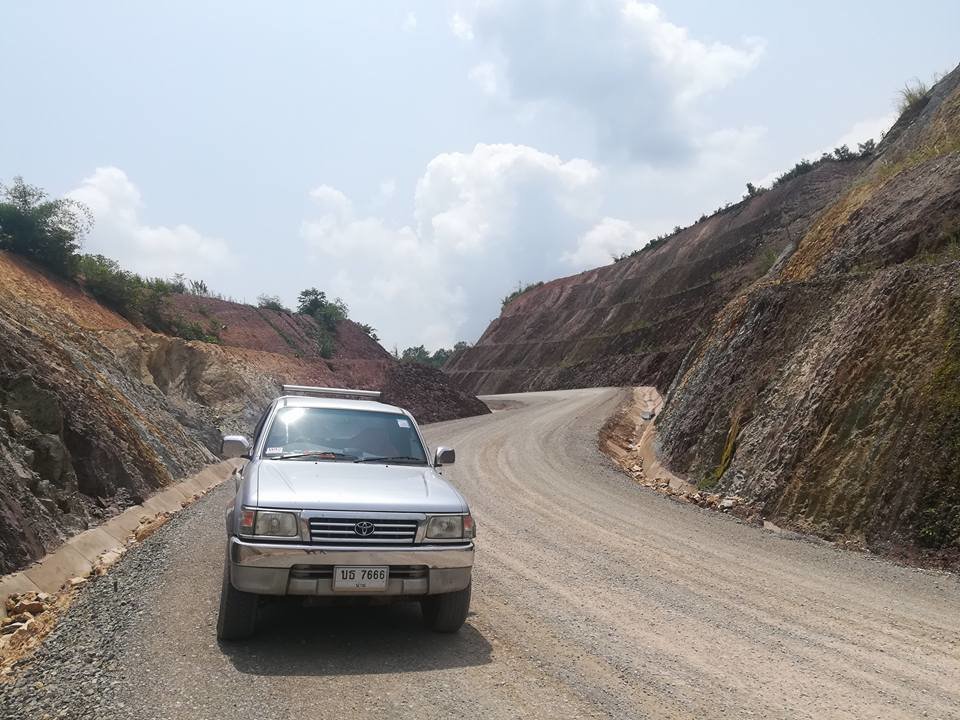
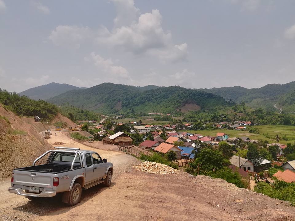
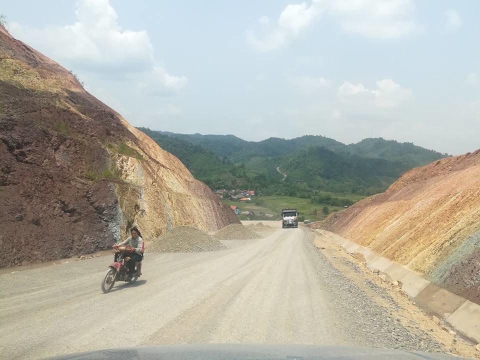
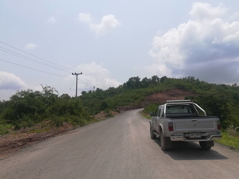
Some pictures taken yesterday of road 4B - Hongsa (Napoung) to Chomphet posted on a Facebook group - pictures copyright Sid Muangxai.

4B 2.jpg

4B 1.jpg

4B 4.jpg

4B 3.jpg
 
Update on Road 1A - Boun Neua to Lantouy (border with China)

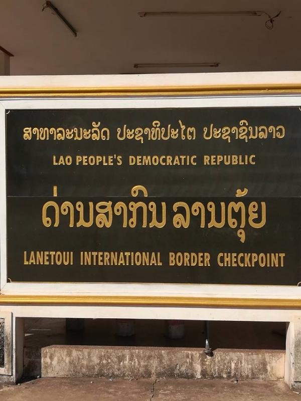
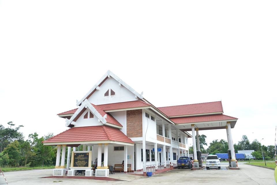
The good news: The whole road from just north of Boun Neua all the way up north to the Lantouy border crossing is now paved - The only part which were not sealed yet (January 2018) were the roads around Boun Neua Town. Sorry, I have only pictures of the Lantouy border crossing but no pictures of the paved road yet. Quite a few new hotels, etc. in Boun Neua springing up as in due course the Phongsaly provincial administration will be moved from Phongsaly town to Boun Neua

Lantoui Border crossing 2.jpg

Lantoui Border crossing 3.jpg

The bad news: Signs at the Lantouy checkpoint do say it is an international border crossing but in fact the crossing is only open for Lao and Chines people. According to the Lao officials China doesn't allow third country citizens through and that it doesn't sound like changing anytime soon.

Source: Lonely Planet
 
Update on Road 1A - Boun Neua to Lantouy (border with China)

The good news: The whole road from just north of Boun Neua all the way up north to the Lantouy border crossing is now paved - The only part which were not sealed yet (January 2018) were the roads around Boun Neua Town. Sorry, I have only pictures of the Lantouy border crossing but no pictures of the paved road yet. Quite a few new hotels, etc. in Boun Neua springing up as in due course the Phongsaly provincial administration will be moved from Phongsaly town to Boun Neua

View attachment 61790

View attachment 61789

The bad news: Signs at the Lantouy checkpoint do say it is an international border crossing but in fact the crossing is only open for Lao and Chines people. According to the Lao officials China doesn't allow third country citizens through and that it doesn't sound like changing anytime soon.

Source: Lonely Planet

The only crossing I managed to pass into PR China was Boten in Luang Namtha. On one incident I drove from Luang Namtha to Boun Tai (leaving 13N left just at Natoey towards 1A and crossed illegally through China following a local bus. On leaving China back into Laos the Chinese border post went over the moon but I just drove on - very lucky, I realized later on. Ever since I branched off at Na Mor towards Boun Tai; scenic and all within Laos.
While the Laotians dont really care or worry it gets more tedious with the red brethren of the North .....
 
Road 16 B Sekong (Lamarm) to Dakchung and on the the Vietnam Border

Another one of these never ending saga's - Work on road 16B started in 2009 and may now be finished in 2018

Just a quick overview:

Work started in 2009 and the road was expected to be ready in 2013/2014

Work stopped in 2013 when some 76% of the work had been finsihed

I am not sure when the work was started again


RD16B.jpg

Road 16B in 2011

2018 - Asia News Network reports quoting the Vientiane Times of 14 may 2018 that the road will be ready in June 2018

Capture1.jpg
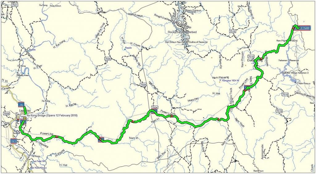
Road 16 B from Lamarm (Sekong) to Dakcheung and the border with Vietnam

Upgrade of border crossings, roads key to economic growth in south Laos

Authorities expect to witness an economic boom in Xekong province when construction of Road No. 16B linking southern Laos to Vietnam and the improvement of immigration facilities are complete. The road and bridge are part of the East-West Economic Corridor, linking southern Laos with Vietnam and Thailand and the rest of the region, bringing more trade and investment to Laos. Deputy Director of the Xekong provincial Department of Planning and Investment, Mr Vannavong Phonsalath, told Vientiane Times on Friday that economic activities have commenced following completion and opening of the bridge on 12 February 2018.

Capture.jpg
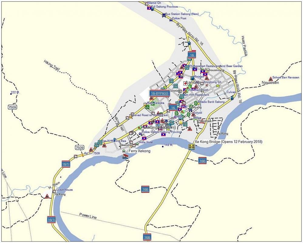
Location of the new bridge and the road leading to the bridge

"We are now asking the government to upgrade immigration facilities from a customary border to an international level immigration checkpoint so that more visitors and goods can use this route," Mr Vannavong said. "We already have an immigration building that was built by Vietnam at a cost of 40 billion kip. We just need to improve it or provide more amenities to meet the required standards." The province's Dakcheung district is not far from Vietnam's Danang, taking several hours to reach from Xekong provincial capital on an unpaved road.

Construction of Road No. 16B has seen enormous progress, except for the section connecting Dakcheung district's administrative office to the Vietnamese border. Director of the Public Works and Transport Department, Mr Soutsana Sihavong, told Vientiane Times in February that work on the 120-km road, which began in 2009, was expected to finish in June this year.

Officials believe when the road and bridge are open to traffic Dakcheung district will become a prime location for entrepreneurs to build factories that process agricultural products for export. Road No. 16B is the shortest route between the Vangtao-Chongmek (Laos-Thailand) border crossing and Danang seaport in Vietnam over a distance of just 480 km. At present, businesses export their goods through the Phoukeua International Checkpoint (Road 18B) in Attapeu province or the Laylay border crossing (Road 15) between Saravan province and Vietnam's Quang Tri province.

Source(s): Vientiane Times and ANN - Asia New Network
 
Thank you for this update; wondering if June is really 2018 or not.
Since, according to official sources, all of us can "witness an economic boom" - let's do what the Laotians do best - wait and see :cool:
 
Thank you for this update; wondering if June is really 2018 or not.
Since, according to official sources, all of us can "witness an economic boom" - let's do what the Laotians do best - wait and see :cool:

We normally say "Seeing is believing" and I guess for Laos that is the norm.
 
World Bank approves upgrade of key arterial road - Road 13

The World Bank has approved a project that aims to improve National Road No. 13 as part of efforts to create better conditions for people living along and using this primary corridor. Due to the poor conditions, the road now requires major improvements to keep up with the growth in use, and increasing traffic volumes mean its upgrade has become essential. Some sections, especially those around Vientiane, are expected to reach maximum capacity in the next five years as traffic rapidly increases.

The National Road 13 Improvement and Maintenance Project will be implemented from 2018 to 2023. It will receive US$40 million in financing from the International Development Association, the bank said in the media release. The project will also receive co-financing of US$40 million, US$38.5 million, and US$9.5 million from, respectively, the Asian Infrastructure Investment Bank, the Government of the Lao PDR, and the Nordic Development Fund. The project will first focus on the high traffic corridor outside of Vientiane from Sikeut to Phonhong (km 12-70), which is currently the country’s busiest stretch of road, and also vulnerable to severe flooding.

Source: Vientiane Times (Latest Update May 21, 2018)
 
Thank you very much for the update.

Did you happen to read any news on the connecting Road 450 linking 13N with Dongphosy (just East of the Friendship Bridge linking Thanaleng/Lao PDR with Nong Khai/Thailand.
The first part (coming from 13N into Road 450 until 13S) is absolutely terrible and, in rainy season, you're even glad having a 4WD feature on the car.
This Road 450 between Sikeut and Dongphosy would make SUCH a difference for all those travelers into/out Thailand and anything North of Vientiane; the clogged capital could be nicely circumvented. Under optimal conditions you save more than one hour taking Road 450; even with all those pot holes between 13N and 13S.

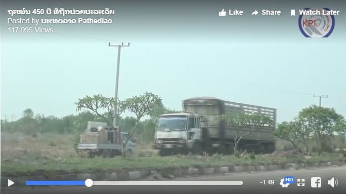
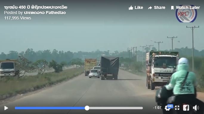
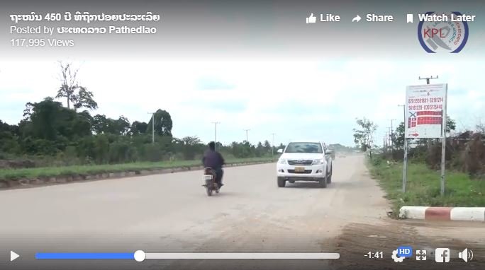
Yes, lately I have seen many complaints about the 450 Year road mainly about all the debris and dirt left on the road, people riding on the wrong side of the road, etc. I just saw this morning a story that volunteers were clearing up the mess along that road but I can't find it at the moment. Of course that is just a drip into the bucket to keep the road clean as the Lao or local Government should step in to maintain the road but they probably will have the usual excuses of no budget, etc.

The connecting road from Dongphosy to Siket is at least being worked on but progress has been slow.

OK, found the picture - On May 19, 2018, the Vientiane City Management and Service Center joined the Youth Council in Vientiane to clean up several area in Vientiane a.o. the 450 year road as well as areas in Xaysetha district, Chanthaboury District and Sisattanak District. More info here: Laos Update

32914182_186029125559297_8781033402284376064_n.jpg
 
Yes, lately I have seen many complaints about the 450 Year road mainly about all the debris and dirt left on the road, people riding on the wrong side of the road, etc. I just saw this morning a story that volunteers were clearing up the mess along that road but I can't find it at the moment. Of course that is just a drip into the bucket to keep the road clean as the Lao or local Government should step in to maintain the road but they probably will have the usual excuses of no budget, etc.

OK, found the picture - On May 19, 2018, the Vientiane City Management and Service Center joined the Youth Council in Vientiane to clean up several area in Vientiane a.o. the 450 year road as well as areas in Xaysetha district, Chanthaboury District and Sisattanak District. More info here: Laos Update

32914182_186029125559297_8781033402284376064_n.jpg


And a few pictures of riding in the wrong direction because it is shorter/easier, etc. but with motorbikes having to move to the middle of the road to evade a truck riding in the wrong direction

Capture1.JPG

Capture2.JPG

Capture.JPG
 
Road to be upgraded and constructed to the Chom Ong Cave, Oudomxay Province

As more and more tourists are visiting the Chom Ong Cave, the authorities have decided to upgrade / reconstruct the road from Rd. 13 N (near Ban Botakai) to Ban Chom Ong. During the rainy season the cave could only be reached by 4WD vehicles while, once the 16 km. long road is ready, all types of vehicles should be able to make it up to the cave. The work will take 27 months to finish.


Source: Facebook page of Vichith Savanh
 
Any info on the road from Salavan to Muang Phin?

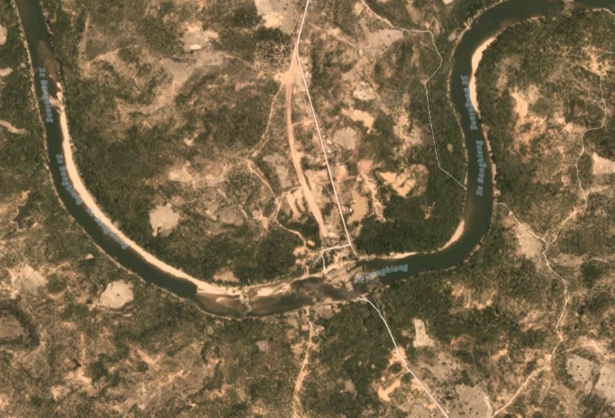
The latest information I have posted is this: ROAD-DEVELOPMENT-AND-ROAD-CONSTRUCTION-IN-LAO Page 8. Since that time things appear to have slowed down and not much has been happening except for work on some of the small bridges south of Toum Lan District and re-aligning the road north of Toumlan District. The new bridge to cross the Xe Banghiang river about 40 km. south of Mueang Phin has seen some progress but it is still far from complete. Very little if anything has been dome of the part what riders mention to be the most difficult part just south of the Xe Banghiang bridge.

Here is a screenshot of a satellite image of the bridge being constructed over the Xe Banghiang river which also shows that the road just north of the bridge is being realigned.

Capture.JPG
 
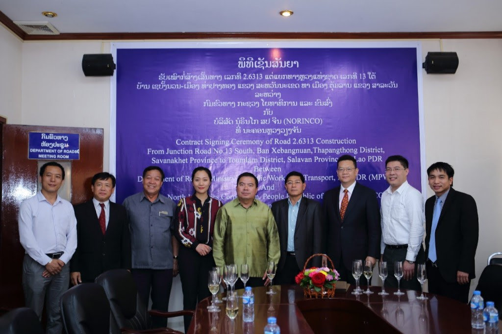
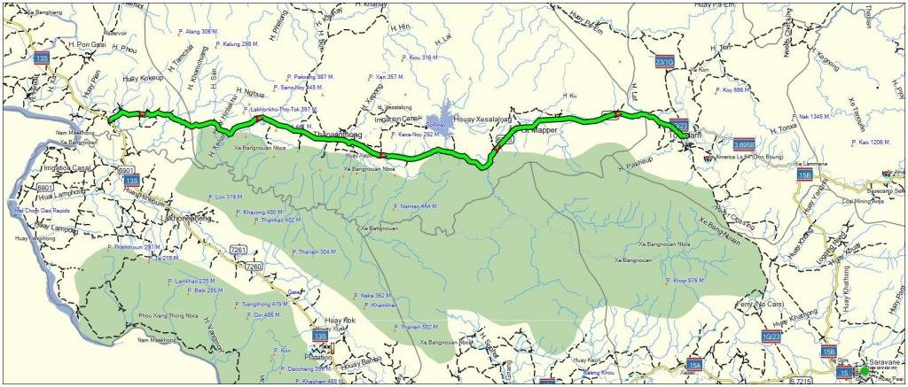
Another road near road 1G / 23 (Phin to Toumlan District and Saravan which will be upgraded is the road (Road 6313) from Toumlan District to the west to Road 13S. The only information I have on this was a message that a contract was signed in Vientiane Capital on March 1, 2017 on the construction of road 2.6313 from the junction of Road No.13 South at Ban Xebangnuan, Thapangthong District, Savanakhet Province to the junction of road 6313 with road 1G / 23 and road 3.6958 just north of Toumlarn District in Salavan Province in Lao PDR. The next time I'll be in the south of Laos I will have a look and try to find out about progress on this road.

Road 2 6313.jpg

Capture1.jpg
 
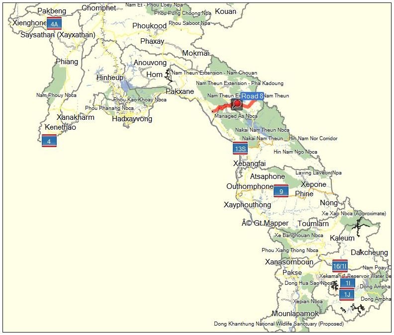
Laos, Korea discuss major upgrade to Road No. 8

The Lao government and Korean experts have continued discussions about the “Detailed Feasibility Study for Upgrading National Road No. 8 in Borikhamxay Province on the Asian Highway (AH15) Network”. The project, which was launched 18 months ago after the signing of a Record of Discussion on July 1, 2016, has been granted aid valued at US$3.5 million by the Republic of Korea government through Korea International Cooperation Agency (KOICA).

Speaking at the event, Ambassador of the Republic of Korea to Laos, Mr Sung-Soon Shin remarked that National Road No.8 is the shortest road connecting the three neighbouring countries of Laos, Vietnam and Thailand, which could prove to be an integral part of the Asian Highway Network. With the final results now in the project is ready to move forward with the actual upgrade work.

Capture1.JPG

Source: Vientiane Times - (Latest Update June 1, 2018)
 
Excellent reply LR thanks mate. 2016 I got as far as Toum Lan but the crossing at Xe Banghiang was badly damaged according to locals....wet season, two up and on road tyres was not encouraging to proceed! To back track to go to Xepon was a massive schlep....those last 30-40 klms of new road to Phin would certainly make life a lot easier.

The latest information I have posted is this: ROAD-DEVELOPMENT-AND-ROAD-CONSTRUCTION-IN-LAO Page 8. Since that time things appear to have slowed down and not much has been happening except for work on some of the small bridges south of Toum Lan District and re-aligning the road north of Toumlan District. The new bridge to cross the Xe Banghiang river about 40 km. south of Mueang Phin has seen some progress but it is still far from complete. Very little if anything has been dome of the part what riders mention to be the most difficult part just south of the Xe Banghiang bridge.

Here is a screenshot of a satellite image of the bridge being constructed over the Xe Banghiang river which also shows that the road just north of the bridge is being realigned.

View attachment 62075
 
Road 5101 from Ban Phamueang (north of Paksane) and Thasi on road 1D


This road had a big problem in 2016 as the pavement had broken up and more or less disappeared making it very slippery during the rainy season and lots of buses and cars got stuck in the mud


They have been upgrading this road and the part from Thasi to Nam Xan bridge is now newly paved and more or less ready. They have also started paving the road from the Ban Phameuang side but in between - basically from the Nam Xan bridge to Ban Phameuang - still some more work needs to be done but hopefully everything will be ready before the next rainy season starts.

A picture of the upgraded road between Thasi and the Nam Xan bridge:


KPL News reports that the repairs and upgrading of road 5101 from Ban Pha Mueang to Thasi on road 1D is now finished.
Road 5101 KPL.png
 
Phonmy-Thalath road upgrade set to resume in Vientiane province

Upgrade of the 6-km road between Phonmy and Thalath villages in Keo-oudom district, Vientiane province, has resumed after local authorities contracted out the job to a new company. It is three years since the road upgrade was abandoned.

Phonmy Thalat Road2.JPG


A private company took on the job in 2013 with completion scheduled for 2015, but the work stalled. The company extended the agreement for another year and the project should have been finished in 2016, but another target was missed when the contractor ran out of money. The province then cancelled the project, according to an official in charge. Provincial authorities submitted the project to the government for consideration, but under government supervision the road will now be surfaced with asphalt instead of concrete as originally planned, the official said. Initial estimates suggest that the project will cost 52 billion kip and will take one year to complete. The road is designed to be 18 metres wide, with drainage and footpaths on both sides.

Phonmy Thalat Road.jpeg


Most local residents are very pleased that after years of suffering from a badly potholed and very dusty and sometime muddy street they will finally have a smoothly surfaced and clean road that will make travel so much more enjoyable.

Source: Vientiane Times January 5 and Jume 12, 2018
 
So the infamous section of the 13N from HouayHok to Oudomxai remains untouched Auke...

Well, it can be driven, those 80kms are not a real "short cut" as far as time is concerned (compared to go 13N-Oudomxay-2W) but scenery is fantastic; took me 4 hours with 4WD. Two bigger stretches on the unpaved road are without any Lao GSM-signal; just for those relying on internet connection for reading maps.
 
Back
Top Bottom