Ride to Chiang Dao and Soppong

We left CM about 2pm, so wentover doi suthep to Pong Yaeng then up near the rock tower and stayed on the road to that right turn where the dirt road starts. It was slippy there, and we turned left down the singletrack to get back on the road. We had to take it very slowly.
Then up to Mork Fa and on 1095 to Pa Pae.Got gas ther and back on dirtroad, till the junction where it turns into concrete road and stayed ther till the junction on top where there is a checpoint and so on, went right there. The easiest way on the map, we hadnt been that way for a while and the clouds were dark.
Was a bit slippy on some of the dirt there.Kept going north to the 1095. The last dirt section was my favourite, a wide sandy windy uphill road by a stream with lots of turns to slide around on, then turns into tarmac. Then about 20km into Pai.
A lot of the Pai road has been resurfaced, new tarmac
 
WORK IN PROGRESS!!

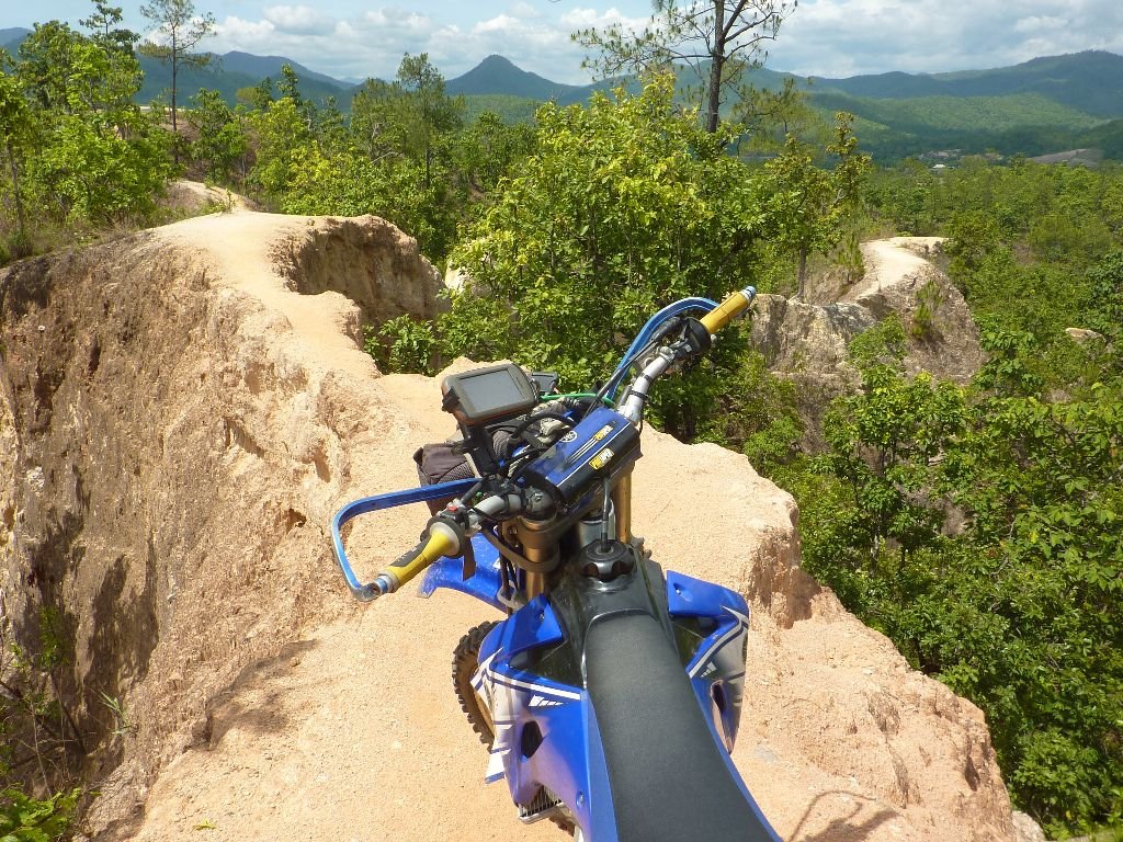
We got outof Pai 10am and went to find the back way into Pai Canyon. A few dead ends before we got the right track, so we got a few fotos but it's all a bit much for me to go riding around
P1030911.jpg

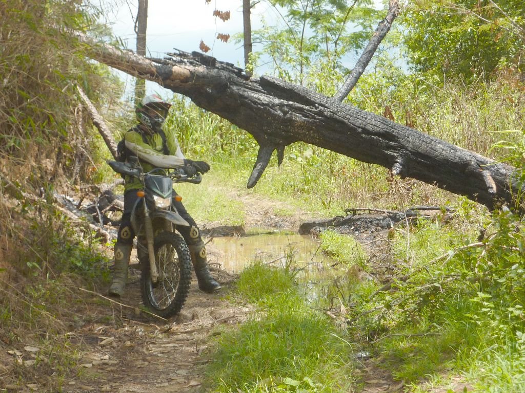
So back the 20km or so to the 1095 turnoff, some nice twisties on the way, and on through the sandy bends and up the clay road for 10km, pretty good in all weather, to the turnoff thats on all the maps. Now has a fallen tree to get under right at the start.
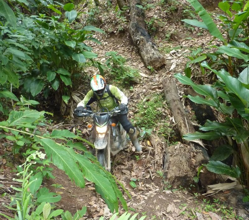
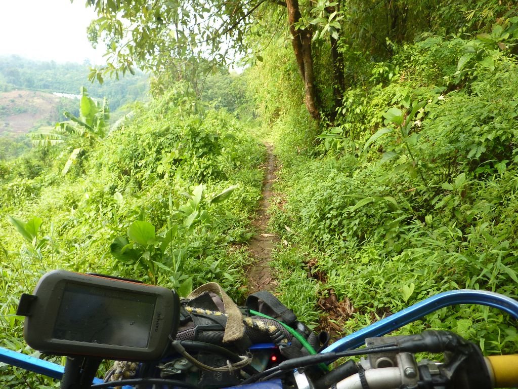
The singletrack was more difficult now cos of the rain in the last few days, green slime and slippy, cant imagine many peopl want to go that way unless it dries up.
P1030927.jpg
P1030928.jpg
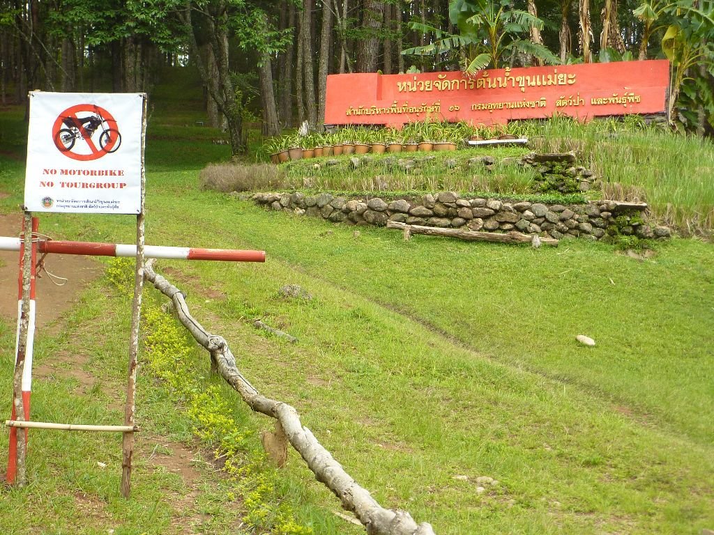
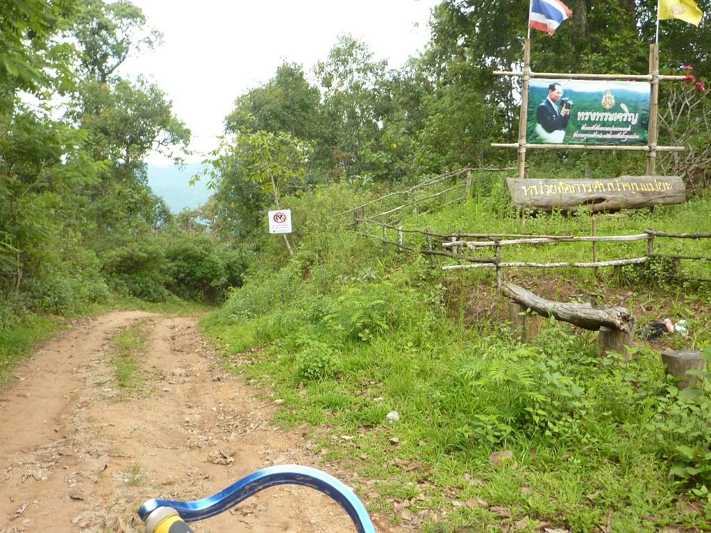
So Back to the park with the No Motorcycles signs,where we went north up to the checkpoint on the 1095. This is the other main track to Pai on all the maps. Big dirt road, a bit slippy at first but soon got drier.
At the checkpoint we saw a No Motorcycles sign there, and as I went to take a foto a soldier came up to say we couldnt go back down there.
P1030929.jpg
He didnt bother us tho and we were on our way east on the 109f, twisties down to the coffee shops at Mae Sae for some more fuel
P1030932.jpg
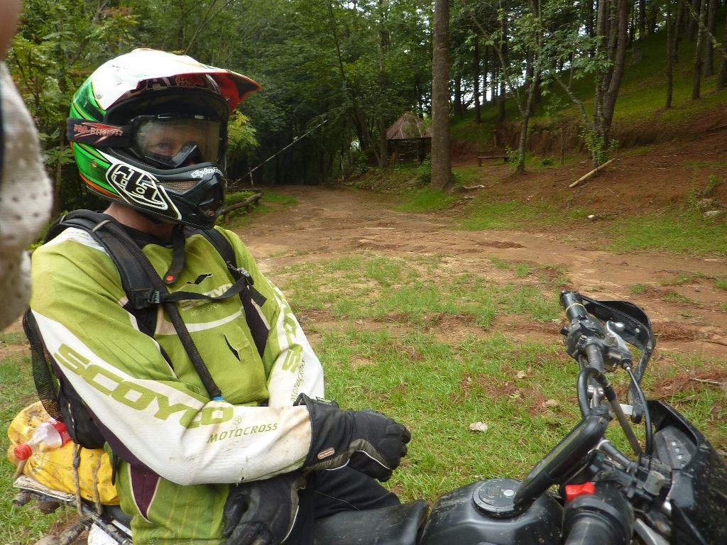
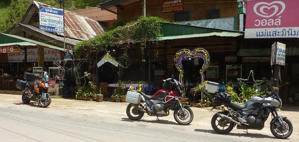
Ther we met a group of about 6 Malaysians on their way to Mae hong Son and Mae Sarieng, on big touring bikes. Nice to meet you guys!
P1030933.jpg
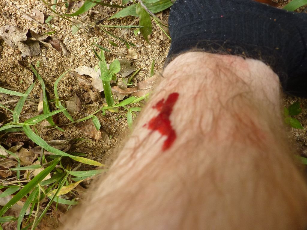
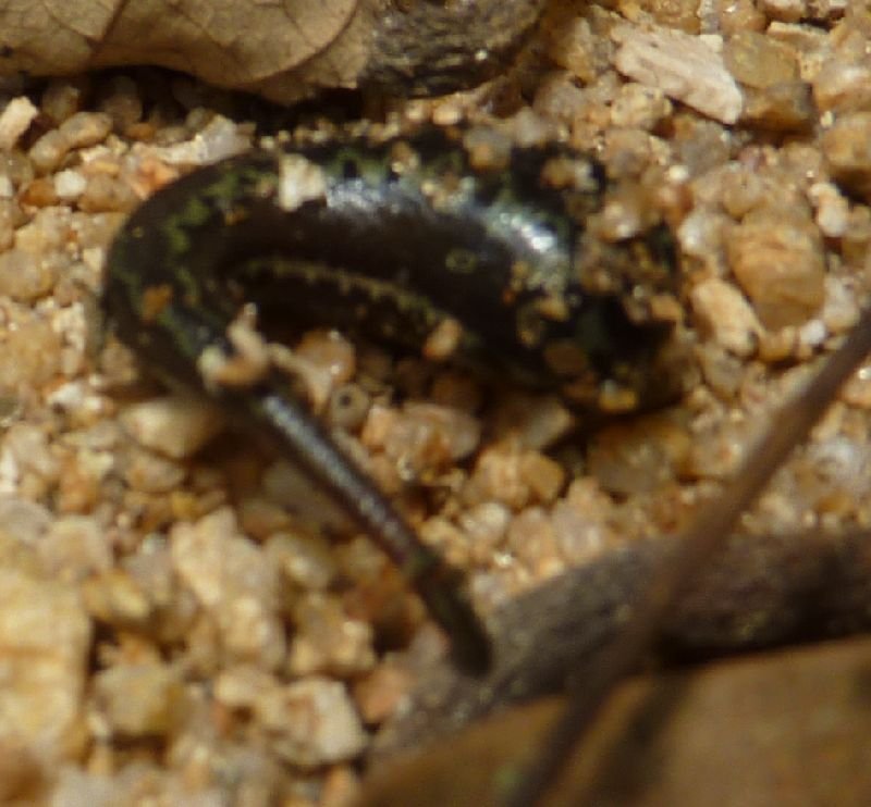
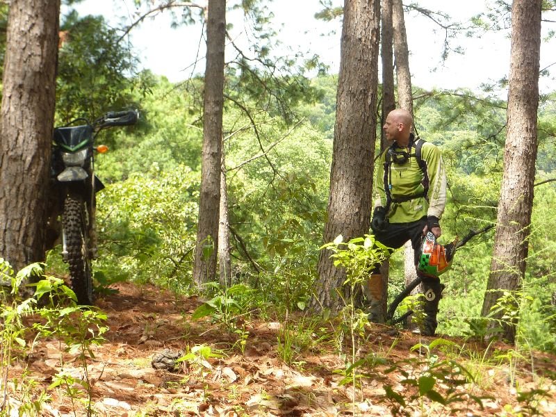
I wanted to check out the track opposite where we turned off last week, so we took a track to see where it went. I eat my packed lunch, and chris found out that he was lunch, for a leech
P1030939.jpg
leech.jpg
Down the track, turned into singletrack in a valley soon, but didnt go far, and on the way back we saw a track that soon turned into a large dirt road,flat surface, that just went up and up for miles. It went down abit, then we hit another disused wide track.
P1030940.jpg
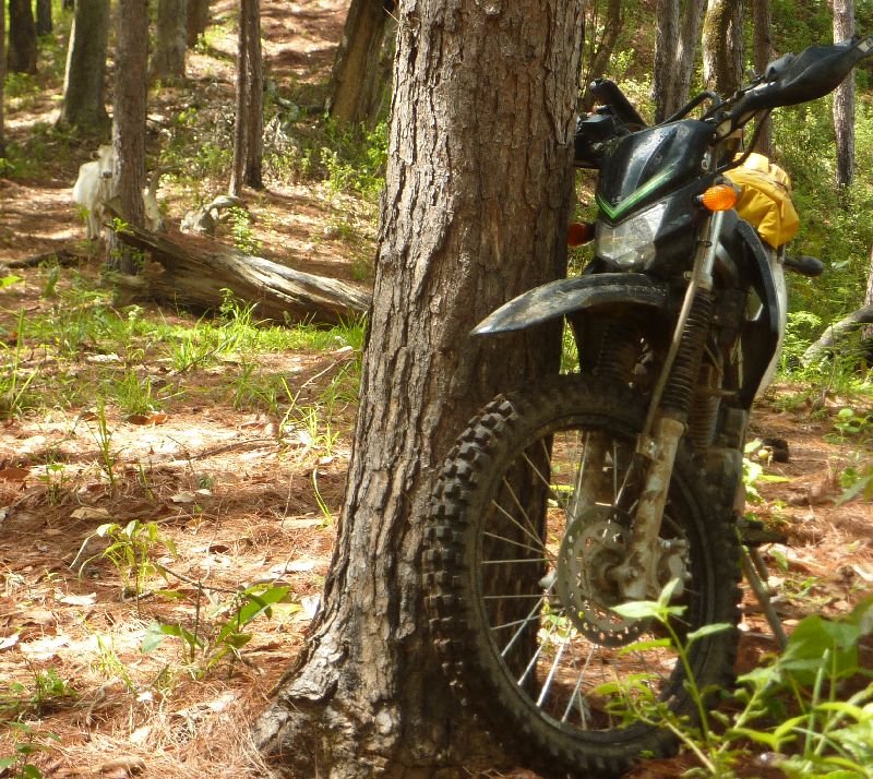
We went right, it soon came to a deadend, like a big flat grassy area with a view, but after turning round we soon found a smaller track so we had a look.
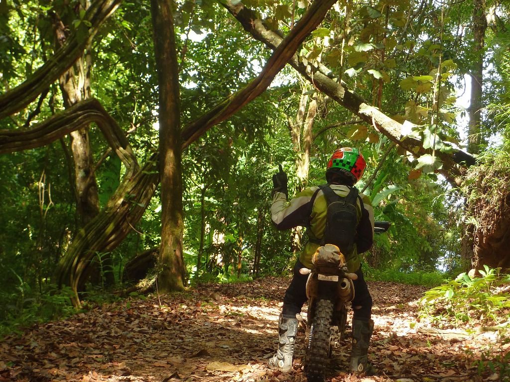
There were fallen trees etc but we went on- and on and on,for miles. It was a narrow track on the side of a mountain. Then there was a steep downhill covered in leaves, nobody had been this way all year.
talk to thetrees.jpg
coo.jpg
At the bottom there was a small track continuing on the mountainside, overgrown.
WE had been within a couple of kilometers of other tracks we wanted to reach for a long time, but didnt seem to get any closer. Turning round was not high on our list of priorities, and on we went, the track is dirt maybe a foot wide, but some loose bits, and quite a long way down, but it went on a long long way. Eventually we got off the mountainside and theres a bealeach, looks like it was a road 50 years ago, but now grass with trees. There was another vague singletrack going up the other side,and we opted for that. It was a bit slippy but within 500 metres we got back onto the main track that goes south from the checkpoint
 
...we opted for that...

You mean our friend, the white cow that had been following us for ages, bolted past us and opted for that... We just followed the cow - figured it probably knew best.
 
We stayed on track down to Pa Pae, not too slippy,most fairly quick.
P1030948.jpg
Got more gas and a drink then back to Mok Fa through the twisties, but the cafe there was closed by 4pm.
So took the easy route south 15k then East to the 4026 rd, and down to Mae Rim as the weather didnt look good, though it looked a lot better as we got south.
Then the singletrack from Mae Rimto Huay Tong Tau and home

Couple more fotos
P1030898.jpg
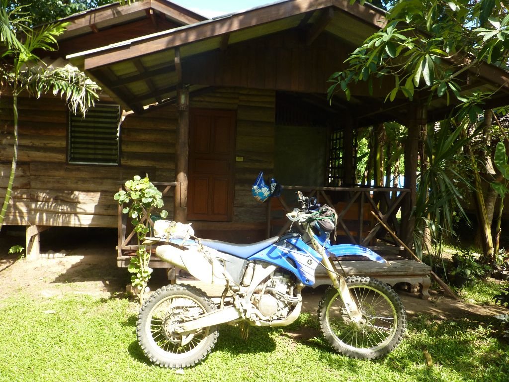
Golden House/Giant GH, now down to 200/250bt
P1030892.jpg
Singletrack on way north to Mok Fa-slippy sht
P1030924.jpg
Start of singletrack on way back from Pai
P1030938.jpg
What kind of leech is it?

AFTABURN

The cow was following chris a long way, giving him amorous glances and acting coy
Some of these trax I wouldnt do again, unless dry season with a few good riders.So I dont want to share the GPS tracks with people that cant ride or dont know what they're getting into. So I'll try to get some warnings included where necessary. DONT BLAME ME!
Also, many turnoffs I would like to checkout on the way, watch where you go on the gps.
I was moving some bamboo when I got hit by something, probably a wasp.
I didnt see it, but got a very sharp pain in a finger, lasted 3 minutes then was mostly gone and swelled up a little
An issue is the No Motorcycling signs, from the checkpoint down to past the track junction on the map. Dont know what or why, but it makes a HUGE difference to anyone planning to go that way, esp late in the day or in wet conditions.
Pai is nice now, few tourists and GHs at good prices again
Theres too many loose ends on the map, we need to get out again and fill in the missing links
Our routes werent perfect, we had some false starts that went the wrong way, and we joined the main track later,so there must be an easier way to get on them.
Views were fantastic, the rain cleared the haze, many of the tracks were a lot worse this week and it's only the start of the wet season
So my hand feels fokkd

Happy Trails!!
 
Mae Rim singletrack on the way home
[video=youtube_share;_904ycKbkvc]http://youtu.be/_904ycKbkvc[/video]
 
Back
Top Bottom