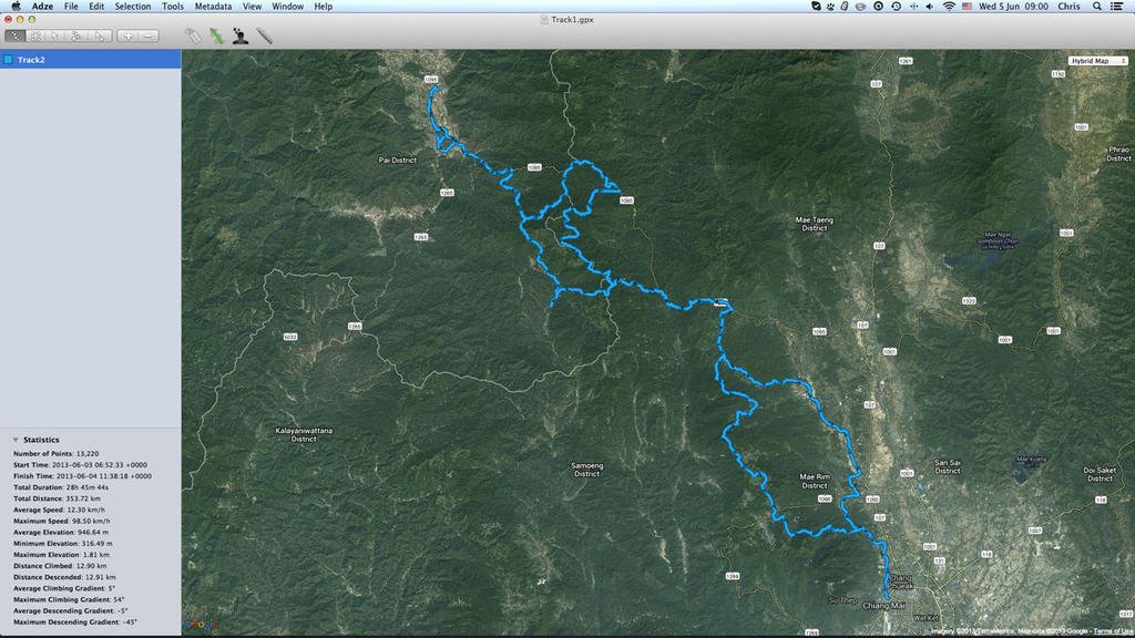
Ride to Chiang Dao and Soppong

alexuk

Senior Member
Joined
Jan 30, 2011
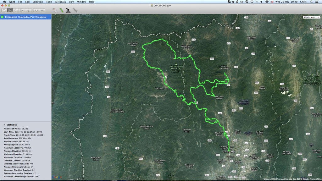
Planning to ride up to Chiang Dao on lesser known tracks,, then over to Soppong on the northern track the next day, and back through Pai.
Probably leaving Saturday or Sunday, hoping to get good weather for it,let me know if you're interested, and when the best time is
 
Would love to join but i think a little too much tar for me.
 
Am a bit concerned about hotels in Pai as I am told its a Big buddha day tomorrow, so no alcohol sales, and a holiday on monday too, so I imagine thais may all want to go on the roads- to Pai etc for a long weekend
 
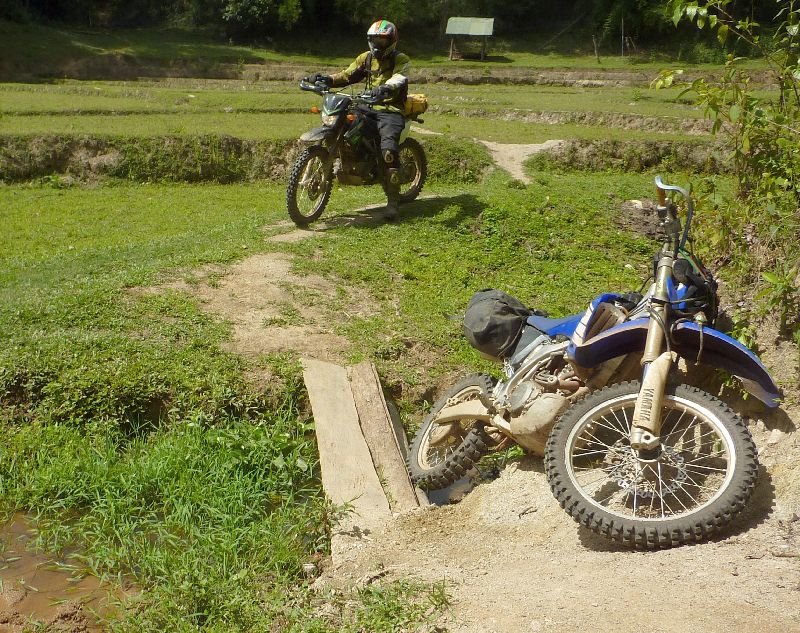
You should have come with us Alex you could have helped picking up my bike LOL
 
Am a bit concerned about hotels in Pai as I am told its a Big buddha day tomorrow, so no alcohol sales, and a holiday on monday too, so I imagine thais may all want to go on the roads- to Pai etc for a long weekend

I was in Pai yesterday and the day before and it was the quietest i`ve ever seen but it was my first rainy season trip there as opposed to 6 other high season trips so i`d say finding a room wouldn`t be a problem.

My biggest concern is the unknown...how much rain could dump down up in the hills there and make the going really slow and tricky or even some of it impassable.

Tempted.
 
Planning to leave tomorrow
Anyone else interested?
ScreenHunter_44 May. 24 22.03.jpg
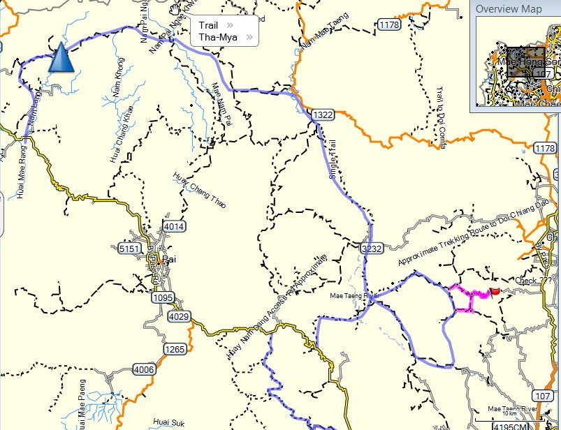
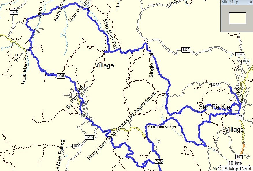
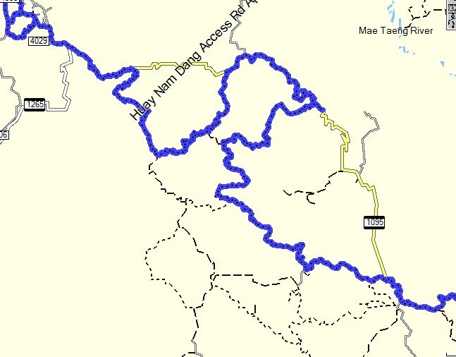
Planned route north of 1095 is in blue, stay nr chiang dao sunday night
 
Alex- There's been some rain around. David Bailey was going to do that route from Mae Sariang back to Chiang Khong but decided against it because of the weather.
 
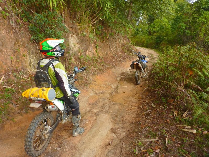
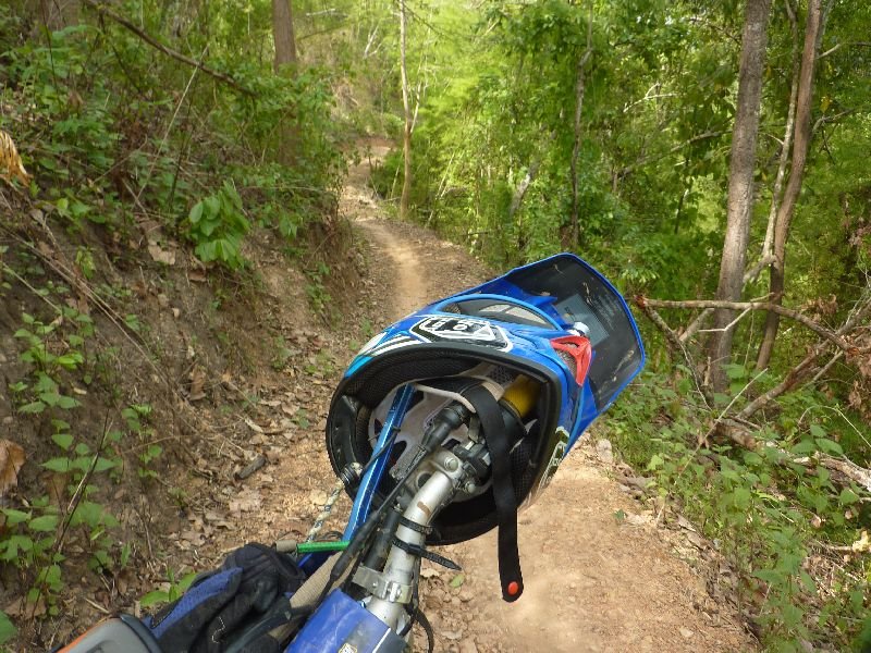
We took road up to the bamboo track to save time, then got to Mok Fa for lunch. Bit more road,but all twisties, up to Mae Sae, a track I did once before,not on the map, lots of hilside singletrack
P1030850.jpg
P1030830.jpg
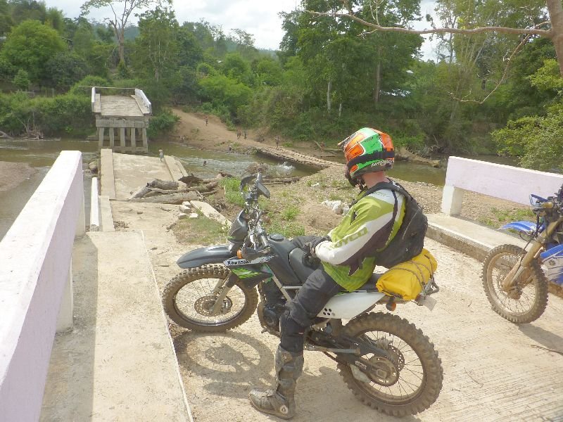
northeast to a big village on the river, with a broken bridge,
P1030843.jpg

P1030841.jpg
close to the Sop Gai track, where u turn off a concrete road to Muang Kong.
Then we went down to Sop Gai and stopped by the bridge for a coke. 40baht each!! I nearly had a heart attack when we got the bill.
Then on to Muang Khut where they do the rafting, cafes etc and got some gas.
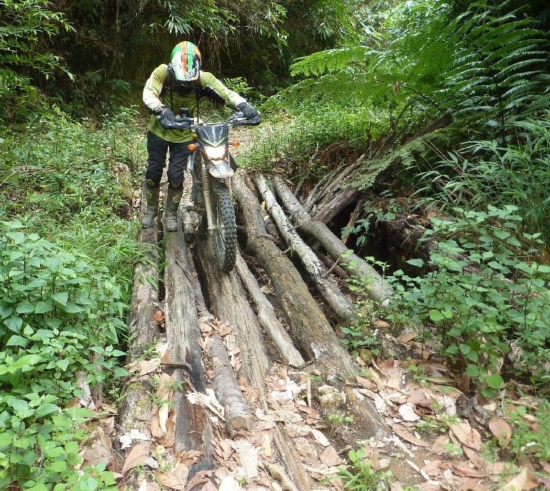
Turned round to look for a track ,took a wrong turn, soon became dodgy singletrack with a drop on one side, and water channel on t'other, nowhere to turn round, then went down to join a bigger track, and this led to an old elephant camp after a km, but no obvious track any further,so we turned back, and soon found a 4wd dirt track.
Now about 3km from the road, we kept on it to a junction, with clouds getting darker, went right to a village close by, and someone spoke english and put us n the right(??) track-the other way.
We made good speed in the right direction for a few kilos, to the end of the road at a village.We kind of get a direction at a school there,at least chris thought we did.
It was a walking track down into a valley in lychee orchards, then up the other side, a long wayup, and steep, I wouldnt try it if it was any wetter. Just kept going up and up,for miles and eventually into a pine forest,headed in the right direction, and onc we were on top it soon joined a 4wd track, which was on the gps map, and carried on, a couple of junctions and we were back on tracks to Chiang Dao
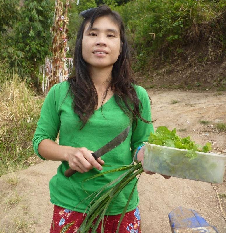
Nice woman came to chat and help us find the way
P1030857.jpg
 
Looks like you guy's found the perfect weather window nice tracks.
 
yes, it looked like it was going to rain, but we hardly had any wet stuff luckily, would have made a huge difference
 
gpx files coming our way Alex ??
 
It's a shame there's no link up where there red lines are, you could then loop and avoid a lot of tarmac.


8883818203_f2546c21b6_b.jpg
 
It's a shame there's no link up where there red lines are, you could then loop and avoid a lot of tarmac.

Max and other guys have tried to find a way but up to now without success - will pour one more time over my maps and Google Earth and try to find places where it might be possible.
 
Awesome ride guys. Love the 40 Baht cokes at he bridge. Confusing the cheap dirt bike farang with the tourist rafters I guess, haha. Ballpark mow much new Single track did you come across on this trip?
 
I'm more interested in linking the red tip north to the 1095.
We got within a few hundredmetres.
I might go for a fook this weekend if weather is good

the lower part
ScreenHunter_50 May. 30 07.57.jpg
 
Last edited:
BnT,excluding dead ends, 4hours singltrak. This includes marcs track up from muang khut cos we didnt have a .gpx, but there's lots more
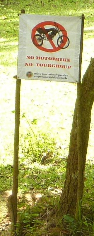
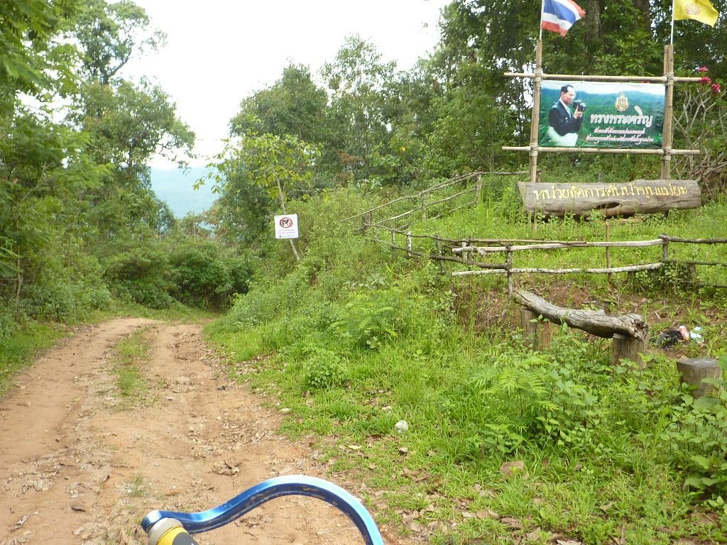
A worry is the singletrack from Pa Pae to the checkpoint. Half way past the track turning on west, there is a big official NO MOtorcycles, No Tour Groups sign, and another one at the end of singletrack where the toilets are at that park/complex and fireroad starts
N19 13.906 E98 34.855
N19 12.577 E98 35.483
See foto
nomoto2.jpg

Was a lot of fun, Capt Slash, wanted to try that before the rain sets in
 
It's a shame there's no link up where there red lines are, you could then loop and avoid a lot of tarmac.


8883818203_f2546c21b6_b.jpg

Indeed we tried, the first trail to the east ends in a nice hill tribe village with some very rich people where Alex(USA) and me were invited to a banquet (we were offered food, a lot of drinks, and even a house to stay overnight and introduced to women for a mysterious reason).
We didn't stay long as we tried to find a trail north. The problem is that north of this trail there is a very steep mountain and some walking trails that end up not being ridable (unless you want to carry your bike).

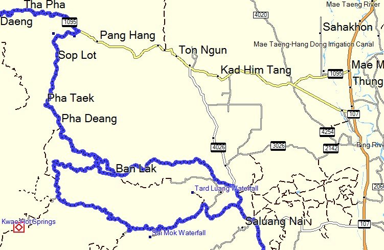
Further west we tried as well (see the map), it went a long while but no gas station and in a small village around then end they said there is no way to cross the river so we turned around.

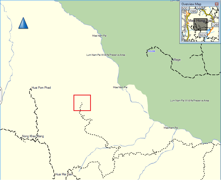
map.png

Though I'm not 100% sure it isn't possible, if someone wants to try this would be a good start, bring enough fuel as there isn't much on this trail.
 
Max, it woul be great to find a track south from Soppong to Wat Chan

2nd Day
We stayed at Chiang Dao Nest, so had to go back in to Chiang Dao for gas, and carried on south on main road just a little, to the dirt tracks where I went before with the 3KTM900s.
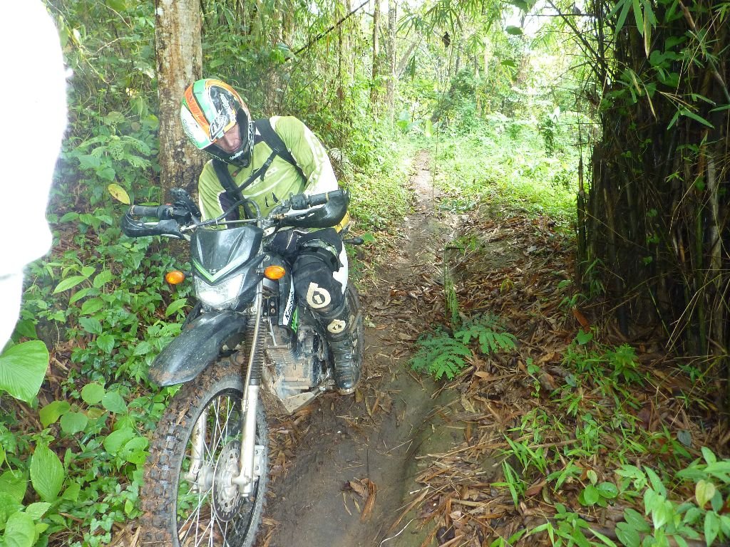
We got to Pa Khia when the rain came down, but it only lasted 10 minutes, and didnt really make the tracks wet. From there it turns into singletrack west to Muang Kong/Sop Gai track. It s easier than it was last time I did it, last year. The turnoff towards Muang Kong is a little singletrack that goes off uphill, great through the woods there, over an old bridge that was so slippy in the wet. until we got to the concrete road.
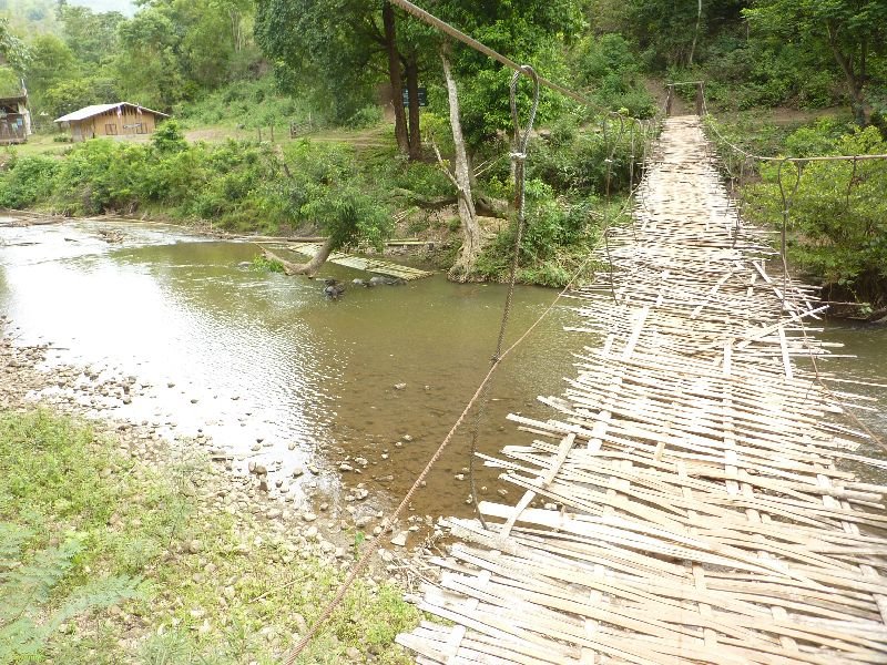
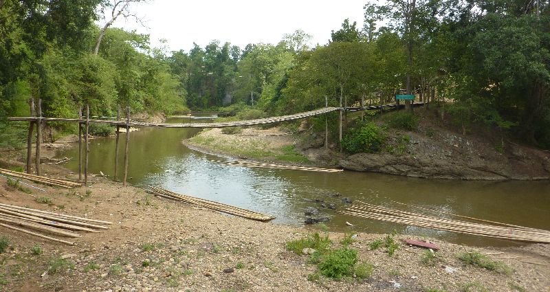
P1030859.jpgThere is an old bamboo bridge there, but we were told to go another way.
[video=youtube_share;afu06wQPbzM]http://youtu.be/afu06wQPbzM[/video]
The bridge I remember was built about 3 years ago, concrete pillars etc, is now old and has large gaps where the wood is missing, so we rode through the stream, like before
[video=youtube_share;o8knaSebjr8]http://youtu.be/o8knaSebjr8[/video]
On to Muang Kong more singletrack, I've done it a few times but didnt recognize it atall. Not a track I ever thought I would forget.
Got gas and food at a new place in Muang Kong, then on north almost to Wieng Hang, there's a turn by a school, and the track is upgraded, we missed the old track start and ended up in a village. Maybe the track goes on through there, but we turned back and singletrack most the way to Muang Noi.
Got gas and drinks there, ready for the trip up near the border. Most of the track is about 4kms from Burma. It was easy track iirc right up to the checkpoint/army camp, and the crashed chopper.
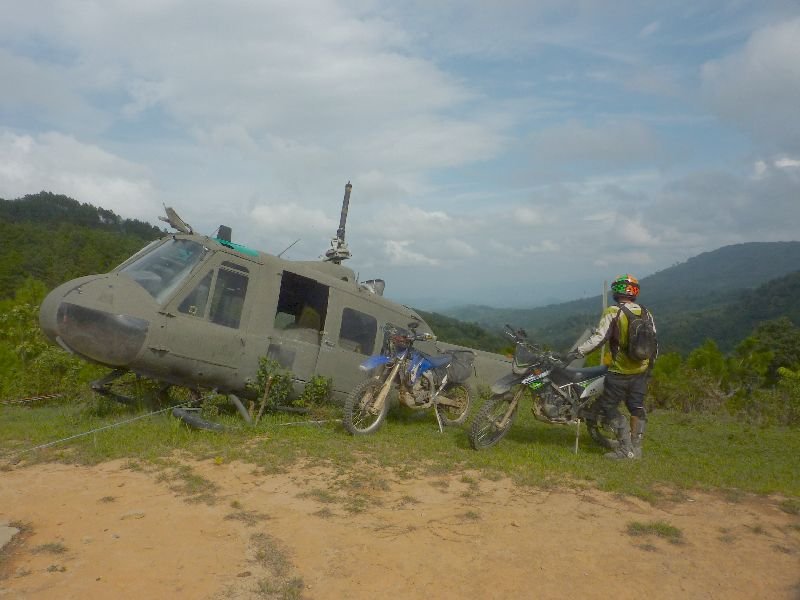
P1030864.jpg
Then you go down by a parky kind of place and up a slippy hill a long way, the track deteriorates and you need to choose your lines carefully going down. Especially when u see the 5metre chasm on your right.
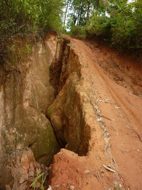
P1030868.jpg
Had a bit of fun going down there, but couldnt get a foto of Chris avoiding the ruts.
Track continues onto road, and down into Pang Mapha, where there is gas, food, guesthouse etc, but we hit the road, and got to Pai in an hour
P1030870.jpg
P1030874.jpg
 
Max, it woul be great to find a track south from Soppong to Wat Chan
Alex and Max - I talked to the owner of the Sappong guest house and he was describing a track that was south of the 1095/Sappong that was single track and joined two villages together that the young boys had cut for better access to the ladies in the adjoining village. This track headed to Pai supposedly. I poked around but could not find it. It would be worth another talk with him for sure to better pinpoint it as he has spent 30 years up in those hills.
 
BnT,excluding dead ends, 4hours singltrak. This includes marcs track up from muang khut cos we didnt have a .gpx, but there's lots more
A worry is the singletrack from Pa Pae to the checkpoint. Half way past the track turning on west, there is a big official NO MOtorcycles, No Tour Groups sign, and another one at the end of singletrack where the toilets are at that park/complex and fireroad starts
N19 13.906 E98 34.855
N19 12.577 E98 35.483
See foto
View attachment 17440

Was a lot of fun, Capt Slash, wanted to try that before the rain sets in
So its only the leg heading out to the police checkpoint that has the signs? A shame that is, obviously too many bikes were upsetting someone. Thanks for the info and sounds like a hell of a ride.
 
Day3
Pai was empty so we stayed in a bamboo hut with good mattress and got breakfast and away about 10am,down 1095 15km to the turnoff, then a left in 10km onto singletrack to the junction at the park where it joins the dirtroad to the checkpoint, and went past the toilets onto the track south. halfway down here at a dyke crossing I saw the NO Motorcycles sign. I have no idea how legit the sign is.
nomotos.jpg

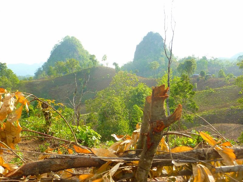
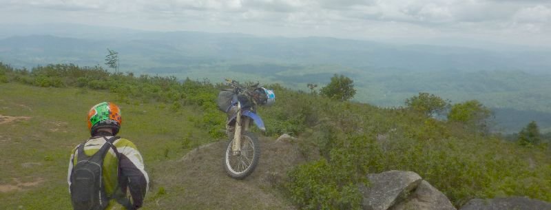
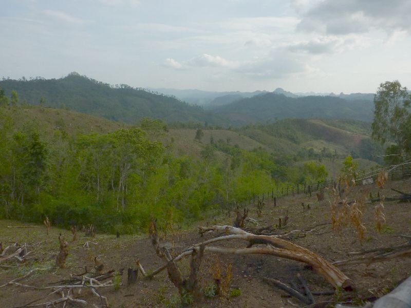
On to the next junction, there is a path goes up a grassy hillside, take this and there's a fantastic viewpoint in less than a km.
P1030885.jpg
P1030888.jpg
Carried on towards 1095 but some tracks off north asking us to ride them so we obliged.
Although the first was a deadend, the second looked like it might go somewhere, it turned into a singletrack down into some fields, and a farmer there pointed out the track to Chiang Mai for us.
paddyslip.jpg
One way was a field, the other singletrack for some way, and eventually threw us out on the 1095,so we went on,got gas,at Pa Pae and eat at Pankled again, and down by Mok Fa waterfalls.
As it was mid afternoon and looked like rain we took an easy way back, but checked out some deadends looking for a way through to the south. A couple on a scooter told us there was a track over the mountains, so we kept on track, it got fairly rough in places and I seem to remember some great singletrack.
stikbrij.jpg
A dodgy bridge or two,and a long time later,we emerged on a 4wd track, near the farm end, and followed that up to a track on the map.
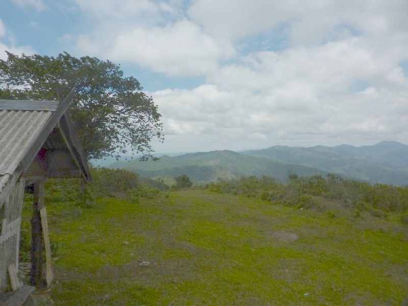
You may know it, its been gravelled over last year, it has a "resort" with a big tree on some grass, and leads to a tarmac road on the south.
The rain didnt happen, and we continued onto the road down to Mae Rim and back home
 
You definitely found some great riding that most wouldn't have tried, nicely documented Alex, will be useful for many.
 
Nice stuff Alex thanks for sharing.
 
WE went back to Pai last night, but a late start and the weather meant we just took a regular trail on the way there.
On the way back today we found another No Motos sign, at the checkpoint on 1095 where you come out of the dirt track.
P1030893.jpg
P1030929.jpg
 
Back
Top Bottom