You are using an out of date browser. It may not display this or other websites correctly.
You should upgrade or use an alternative browser.
You should upgrade or use an alternative browser.
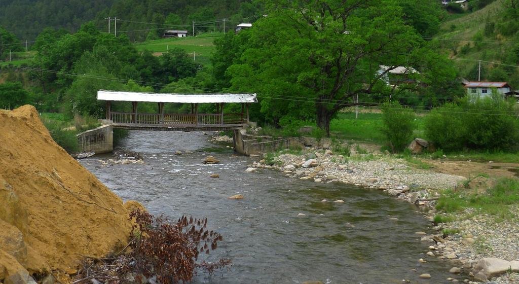
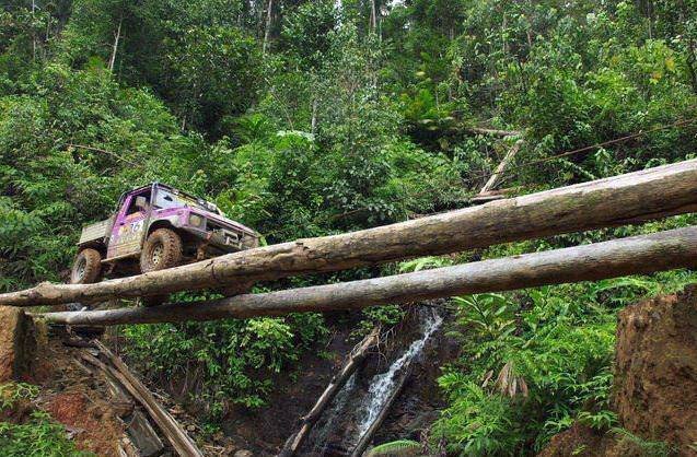
Post your Asian bridge & water crossing photo's here
- Thread starter KTMphil
- Start date
alexuk
Senior Member
- Joined
- Jan 30, 2011
A stream crossing on the Oudomxai to Nale track in Laos
me riding, chris filming
[video=youtube_share;UyWZb85XqvM]http://youtu.be/UyWZb85XqvM[/video]
And a couple on a suspension bridge
Will post location if I can remember it
[video=youtube_share;y-s5O8Dvc60]http://youtu.be/y-s5O8Dvc60[/video]
[video=youtube_share;QM_32CNKz60]http://youtu.be/QM_32CNKz60[/video]
5000kip to use this bridge
[video=youtube_share;RrFj3Od0CmQ]http://youtu.be/RrFj3Od0CmQ[/video]
bsacbob
Administrator (Retired)
- Joined
- Jul 1, 2012
- Location
- Chiang Rai
- Bikes
- Honda CRM-AR 250, Honda CRF 250-L, Suzuki V Strom XT 650 Honda XR250 Baja BMW F650GS
Nice vid's Alex, the first river crossing vid looks a bit lumpy !!!!
KTMphil
Senior member
Looks like well worth 5,000 kip!!
The same as Alex's first crossing, from behind. (A bit deeper on our venture) 
Start at about 9.37
[video=youtube_share;55RPMSIK9L4]http://youtu.be/55RPMSIK9L4?t=9m37s[/video]
The same bridge in the last of Alex's videos, Nam Nga Bridge from the handlebar POV going the other way
[video=youtube_share;b29eJEt609I]http://youtu.be/b29eJEt609I?t=48s[/video]

Start at about 9.37
[video=youtube_share;55RPMSIK9L4]http://youtu.be/55RPMSIK9L4?t=9m37s[/video]
The same bridge in the last of Alex's videos, Nam Nga Bridge from the handlebar POV going the other way
[video=youtube_share;b29eJEt609I]http://youtu.be/b29eJEt609I?t=48s[/video]
DI
Have to say this one of the better tracks and the way we rode it was maybe the better option, from Luang Prabang the track was widened by the power pole guy's and was boring but as we got further in and passed them it was loads of fun, expecially if you like water crossings:
Did you boys do the route coming from LPB that goes East through Phonxai? If so though there are two routes on Dons map that drop south towards Phonsavan, did you take the western most leg or the eastern most leg that drops towards Phonsavan off the ridgetop east of Phonxai?
Lone Rider
Blokes Who Can
As far as I know they did the eastern leg but I guess they will reply themselves as well.
KTMphil
Senior member
Not as planned


helbob
Senior Member
- Joined
- Jan 26, 2013
Very funny and nice laos pics in this thread I think we go the same way but i prefer dry shoes :G


James on the big boy on the "iron bridge trail", north of R 118 in Thailand
KTMphil
Senior member
Great photo's hellbob, some new stuff there for sure.
KTMphil
Senior member
Oro Forest to the Oro village, Salaween National Park


KTMphil
Senior member
KTMphil
Senior member
KTMphil
Senior member
KTMphil
Senior member
hellbob - we took our own bikes, the continuing story is below (we're still in China)
http://www.rideasia.net/motorcycle-...-border-kawa-karpo-6-740-meters-22-113-a.html
http://www.rideasia.net/motorcycle-...-border-kawa-karpo-6-740-meters-22-113-a.html
@phil great trip ! Do you been there with your own bike? No problems in china?
KTMphil
Senior member
Double Dragon Bridge
Located 5 kilometers (3.107 miles) west of Jianshui, Yunnan, SW China
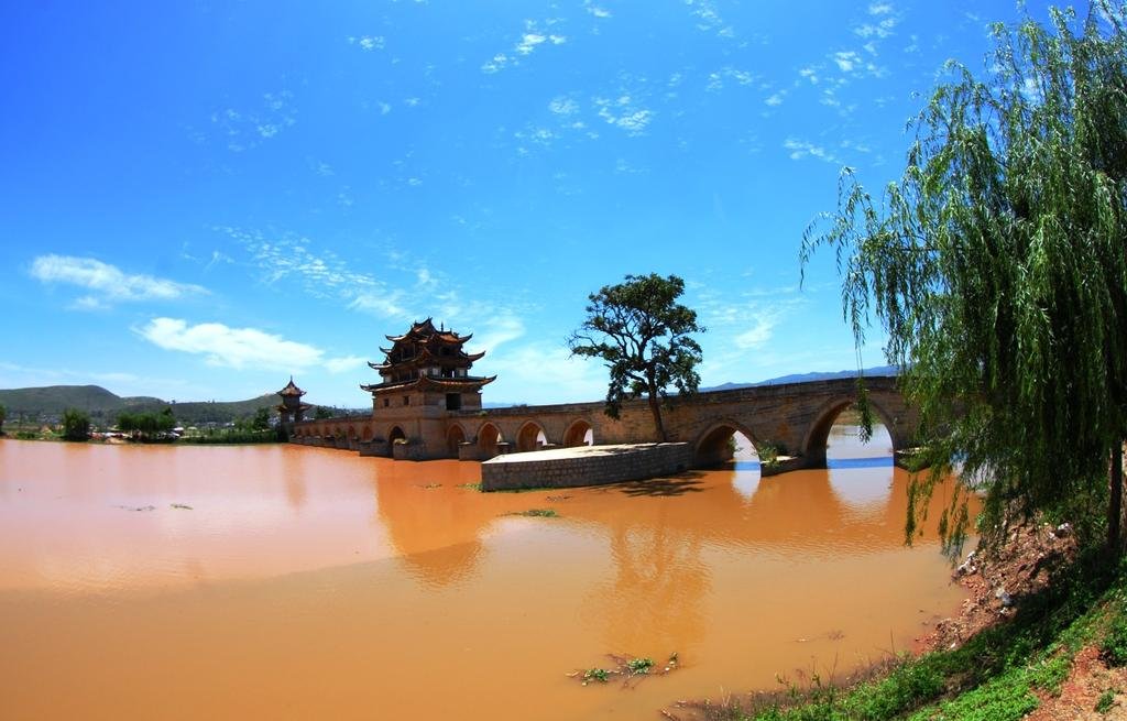
At the confluence of Lushui River and Tacun River, which are like double winding dragons crossing the land. It is the biggest and has the most artistic value of the ancient bridges in Yunnan Province. This ancient bridge was built in the years of the Emperor Qianlong (1711-1799), and in the years of the Emperor Guangxu (1871-1908) it was rebuilt and added to by 14 holes, so that it became a 17-hole bridge. In total, the bridge is 153 meters (167 yards) long and 3 meters (3.28 yards) wide, paved with black marble. There are three exquisite and elegant lofts on the bridge. Among them, the middle one is the most majestic and splendid, called the 'Grand View Pavilion of South Yunnan'. Standing on the bridge you get beautiful views, both nearby and in the distance, including endless green fields, majestic blue mountains and clear water.
Source: TravelChinaGuide.com
Located 5 kilometers (3.107 miles) west of Jianshui, Yunnan, SW China

At the confluence of Lushui River and Tacun River, which are like double winding dragons crossing the land. It is the biggest and has the most artistic value of the ancient bridges in Yunnan Province. This ancient bridge was built in the years of the Emperor Qianlong (1711-1799), and in the years of the Emperor Guangxu (1871-1908) it was rebuilt and added to by 14 holes, so that it became a 17-hole bridge. In total, the bridge is 153 meters (167 yards) long and 3 meters (3.28 yards) wide, paved with black marble. There are three exquisite and elegant lofts on the bridge. Among them, the middle one is the most majestic and splendid, called the 'Grand View Pavilion of South Yunnan'. Standing on the bridge you get beautiful views, both nearby and in the distance, including endless green fields, majestic blue mountains and clear water.
Source: TravelChinaGuide.com
- Joined
- Aug 15, 2012
- Bikes
- KTM 613 EXC, BMW R90S & Dakar, MZ250, Norton 16H, Honda - 500 Fs & Xs, DRZs, XLs XRs CRFs CT110s etc
One from Cape York, on the Old Telegraph Track. Nolan's Creek.
If I'd been first, I'd have ridden it. I'd had water up onto the headlight at another creek and got through OK.... but one of the guys went through on his Tenere... and drowned it, using up the last of our oil - so there was no risking it for the rest of us.

If I'd been first, I'd have ridden it. I'd had water up onto the headlight at another creek and got through OK.... but one of the guys went through on his Tenere... and drowned it, using up the last of our oil - so there was no risking it for the rest of us.

KTMphil
Senior member
Looks like sticks through the wheels might have been good.
One from Cape York, on the Old Telegraph Track. Nolan's Creek.
If I'd been first, I'd have ridden it. I'd had water up onto the headlight at another creek and got through OK.... but one of the guys went through on his Tenere... and drowned it, using up the last of our oil - so there was no risking it for the rest of us.

- Joined
- Aug 15, 2012
- Bikes
- KTM 613 EXC, BMW R90S & Dakar, MZ250, Norton 16H, Honda - 500 Fs & Xs, DRZs, XLs XRs CRFs CT110s etc
Looks like sticks through the wheels might have been good.
That's what we had... but the damn thing was heavy... with a full tank of fuel - and the creek bottom was soft
KTMphil
Senior member
Mr Sneds crossing a nasty deep river around the HMT, Laos.


- Joined
- Aug 15, 2012
- Bikes
- KTM 613 EXC, BMW R90S & Dakar, MZ250, Norton 16H, Honda - 500 Fs & Xs, DRZs, XLs XRs CRFs CT110s etc
- Joined
- Aug 15, 2012
- Bikes
- KTM 613 EXC, BMW R90S & Dakar, MZ250, Norton 16H, Honda - 500 Fs & Xs, DRZs, XLs XRs CRFs CT110s etc
- Joined
- Aug 15, 2012
- Bikes
- KTM 613 EXC, BMW R90S & Dakar, MZ250, Norton 16H, Honda - 500 Fs & Xs, DRZs, XLs XRs CRFs CT110s etc
- Joined
- Aug 15, 2012
- Bikes
- KTM 613 EXC, BMW R90S & Dakar, MZ250, Norton 16H, Honda - 500 Fs & Xs, DRZs, XLs XRs CRFs CT110s etc
Here's another one. Central/southern Laos

That one got "interesting". I hadn't rigged for submerged running... ie I hadn't sealed up all my drybags... so if I'd gone over, I'd have lost my DSLR and netbook computer, among other things.
I very nearly got swept over. It wasn't overly deep... I watched a farm chugger go across, with half a dozen people guiding it... but the damn flow of water was strong and it was washing me towards the edge.
Still, a miss is as good as a mile.
KTMphil
Senior member
KTMphil
Senior member
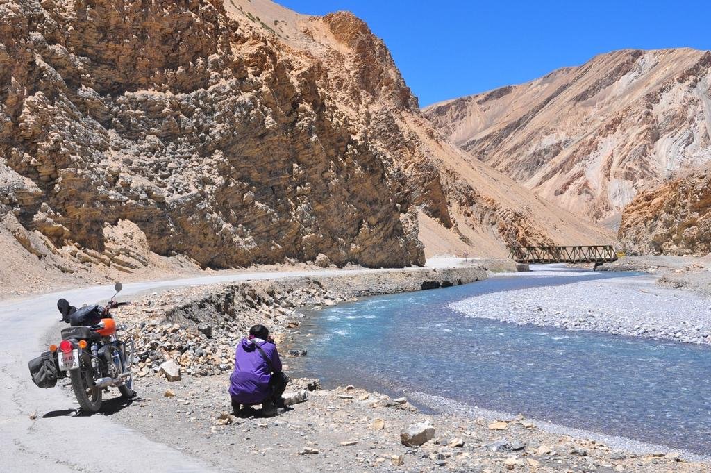
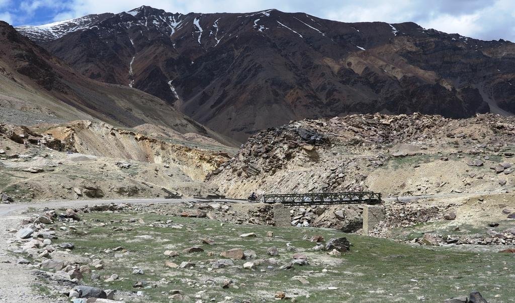
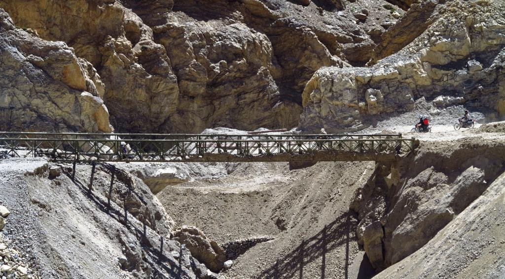
Satluj River - NE India


KTMphil
Senior member
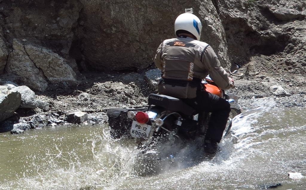
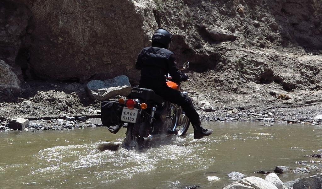
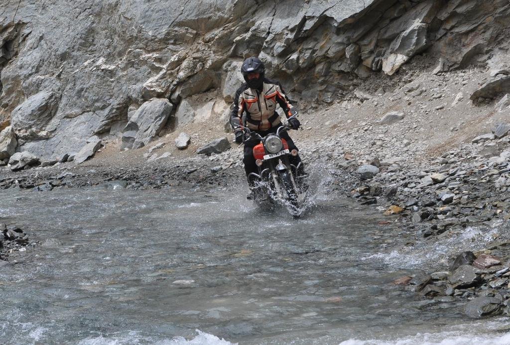
On our way to Banjur in north India, some melting glaciers to navigate
View attachment 18727
View attachment 18728
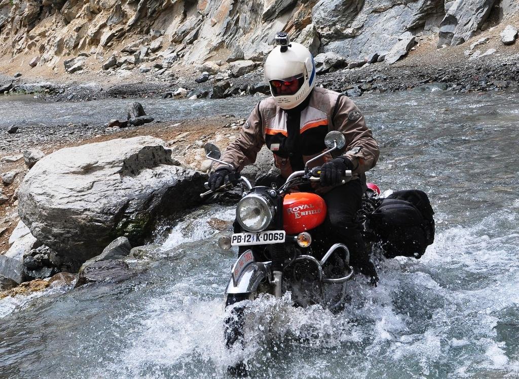
Tony showing his offroad experience even on an Enfield!
View attachment 18727
View attachment 18728

Tony showing his offroad experience even on an Enfield!

KTMphil
Senior member
KTMphil
Senior member
KTMphil
Senior member
KTMphil
Senior member
KTMphil
Senior member
KTMphil
Senior member
KTMphil
Senior member
KTMphil
Senior member
Approaching Kalpa, north east India near the Tibet border


