Captain_Slash
Community Manager
- Joined
- Jun 28, 2011
- Bikes
- BMW 310GS Honda Wave 125 Honda MSX 125
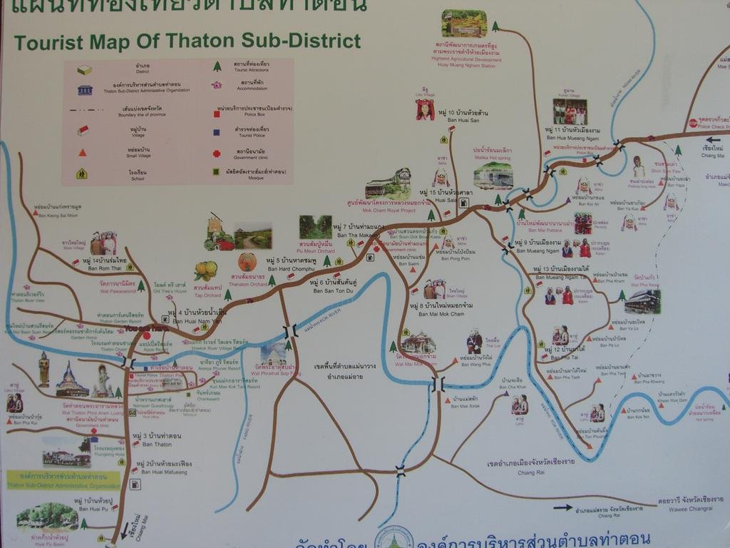
The route 1089, 1314, Unknown, 3015, 107 , 1249, 1340, Unknown, 3001, 3004
Total distance 231 km
It wasnt a good start to this morning, I plugged my kettle in to boil some water for my morning coffee only to get a flash as my kettle blew up.
I rode to Tesco Lotus at 7am to buy a new one only to find they didnt open until 9am, luckily I found someone at the hotel who was only to happy to provide plenty of boiling water

Full of coffee and well dressed up with tracksuit bottoms and pullover on underneath my Airflow gear I ride off along the 1089 on a cold foggy morning, stopping in Thaton for these photos the fog has now lifted, looking downstream

Looking upstream and its a much brighter sky

I ride back towards Fang then very quickly take a right onto the 1314 and as I start to climb the temperature quickly drops again

I see this to my right but it is on another road and is for another days trip


I have always enjoyed riding along this road


Fantastic isnt it?

Theres still a lot of low cloud to my right over in Burma


I ride up to an Army camp at N20.04.655 E099.18.479 and they say no photos which is a shame as its a very good viewpoint

I manage to get two sly ones, quite why no photos I dont know

A little further on and its a right onto an unnumbered road that follows the Burmese border and leads to the two big roadslips


There appears to be slightly less loose gravel along this road then when I last rode here


Another Army camp


Here they are happy to allow photos


I cant believe that its eight years ago when I first discovered this road on my first motorbike ride around Thailand

Further on and I see signs of civilisation

Theres even people out there in the field


With a supply of running water


To my amazement I spot a new toilet block, I thought that the authorities were trying to dissuade people from travelling along here not encourage it

I guess thats the check bin of all the parts

Western

Plus Thai

All with a water supply that was working

As I am amazed at the toilets I am even more surprised when some Thai birdspotting tourists from Bangkok drive down and stop to talk, they are staying at a camp further along towards the roadslips

Then another car load come by

A bit further on I stop to talk with three Westerners from Hungary who are also here birdspotting, I asked them how they know about this road and apparently its being advertised in some birdspotting magazines as a good place to come to for their hobby

They drove off but the dogs stayed


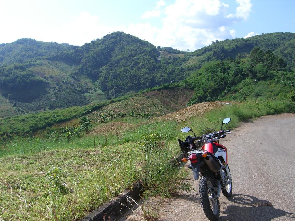
Magnificent scenery


A couple of camps inside Burma

Just short of the roadslips are more birdspotters

420.000 Baht for this camera. I had quite a long chat with this gentleman as he is from Malaysia and when I said I wanted to visit in late january he was happy to tell me all about it

Roadslips ahead

With all the tourists now using this road I had hopes of seeing these filled in but I guess that is somerthing that is never going to happen


I ride safely across and the view looking back


Now down the bottom and I am at the back of the Mae Mao reservoir

I ride back to my hotel but its only 2pm so I decide to explore a new road for me

I ride out towards Chai Prakarn then take a right onto the 1249 and I ride in in an unusual direction for me

I take a left onto the 1340 heading towards Arunothai

This is a well surfaced twisty road


I notice a man up in a tree


Between Ang Khang and Arunothai there is a left turn for an unnumbered road that I have never rode along before so today I try it out

To start with its a terrible pot holed road but after about one km the surface gets better for a short while then its a hit and miss road with lots of loose debris all over the place, not a road that I will be rushing to try again

The scenery is just great though all the way


As I ride into this village I know exactly where I am as I rode to here from Chai Prakarn last year

I take a left onto the 3001 and ride towards Fang parallel with the 107

Some spraying taking place out in the fields


I have never seen one of those being used for this purpose before


The 3001 reaches the 1249 and I do a left for about half a km then take a right still on the 3001, at a junction I take the left fork and now I am on the 3004.
Along here I stop at this temple


These three very cheerful kids are playing there and letting off fireworks, from here I ride the 3004 until it reaches the 107, I turn left and ride home

I try out a new for me Korean style buffet restaurant as my usual one in the town has closed down

This one is at N19.55.842 E099.13.493 and is about one km past Uncle Jacks Hideaway heading out of town

119 Baht for eat all you can.
Get the gdb file here http://www.captainslash.com/in-the-hill ... ound-fang/
Total distance 231 km
It wasnt a good start to this morning, I plugged my kettle in to boil some water for my morning coffee only to get a flash as my kettle blew up.
I rode to Tesco Lotus at 7am to buy a new one only to find they didnt open until 9am, luckily I found someone at the hotel who was only to happy to provide plenty of boiling water

Full of coffee and well dressed up with tracksuit bottoms and pullover on underneath my Airflow gear I ride off along the 1089 on a cold foggy morning, stopping in Thaton for these photos the fog has now lifted, looking downstream

Looking upstream and its a much brighter sky

I ride back towards Fang then very quickly take a right onto the 1314 and as I start to climb the temperature quickly drops again

I see this to my right but it is on another road and is for another days trip


I have always enjoyed riding along this road


Fantastic isnt it?

Theres still a lot of low cloud to my right over in Burma


I ride up to an Army camp at N20.04.655 E099.18.479 and they say no photos which is a shame as its a very good viewpoint

I manage to get two sly ones, quite why no photos I dont know

A little further on and its a right onto an unnumbered road that follows the Burmese border and leads to the two big roadslips


There appears to be slightly less loose gravel along this road then when I last rode here


Another Army camp


Here they are happy to allow photos


I cant believe that its eight years ago when I first discovered this road on my first motorbike ride around Thailand

Further on and I see signs of civilisation

Theres even people out there in the field


With a supply of running water


To my amazement I spot a new toilet block, I thought that the authorities were trying to dissuade people from travelling along here not encourage it

I guess thats the check bin of all the parts

Western

Plus Thai

All with a water supply that was working

As I am amazed at the toilets I am even more surprised when some Thai birdspotting tourists from Bangkok drive down and stop to talk, they are staying at a camp further along towards the roadslips

Then another car load come by

A bit further on I stop to talk with three Westerners from Hungary who are also here birdspotting, I asked them how they know about this road and apparently its being advertised in some birdspotting magazines as a good place to come to for their hobby

They drove off but the dogs stayed


Magnificent scenery


A couple of camps inside Burma

Just short of the roadslips are more birdspotters

420.000 Baht for this camera. I had quite a long chat with this gentleman as he is from Malaysia and when I said I wanted to visit in late january he was happy to tell me all about it

Roadslips ahead

With all the tourists now using this road I had hopes of seeing these filled in but I guess that is somerthing that is never going to happen


I ride safely across and the view looking back


Now down the bottom and I am at the back of the Mae Mao reservoir

I ride back to my hotel but its only 2pm so I decide to explore a new road for me

I ride out towards Chai Prakarn then take a right onto the 1249 and I ride in in an unusual direction for me

I take a left onto the 1340 heading towards Arunothai

This is a well surfaced twisty road


I notice a man up in a tree


Between Ang Khang and Arunothai there is a left turn for an unnumbered road that I have never rode along before so today I try it out

To start with its a terrible pot holed road but after about one km the surface gets better for a short while then its a hit and miss road with lots of loose debris all over the place, not a road that I will be rushing to try again

The scenery is just great though all the way


As I ride into this village I know exactly where I am as I rode to here from Chai Prakarn last year

I take a left onto the 3001 and ride towards Fang parallel with the 107

Some spraying taking place out in the fields


I have never seen one of those being used for this purpose before


The 3001 reaches the 1249 and I do a left for about half a km then take a right still on the 3001, at a junction I take the left fork and now I am on the 3004.
Along here I stop at this temple


These three very cheerful kids are playing there and letting off fireworks, from here I ride the 3004 until it reaches the 107, I turn left and ride home

I try out a new for me Korean style buffet restaurant as my usual one in the town has closed down

This one is at N19.55.842 E099.13.493 and is about one km past Uncle Jacks Hideaway heading out of town

119 Baht for eat all you can.
Get the gdb file here http://www.captainslash.com/in-the-hill ... ound-fang/


