bsacbob
Administrator (Retired)
- Joined
- Jul 1, 2012
- Location
- Chiang Rai
- Bikes
- Honda CRM-AR 250, Honda CRF 250-L, Suzuki V Strom XT 650 Honda XR250 Baja BMW F650GS
As the smoke season approaches, now is the time to get out and enjoy the cool weather and magnificent scenery Northern Thailand has to offer. If you enjoy getting out on the dirt then this loop should be on your to-do list before its gone, the whole area south of the south is a spiderweb of trails and small villages and ticks every box weather it is nasty bits, rocky bits, fast sections, steep uphills and downhills plus of course bull dust it has it all in bucket loads.
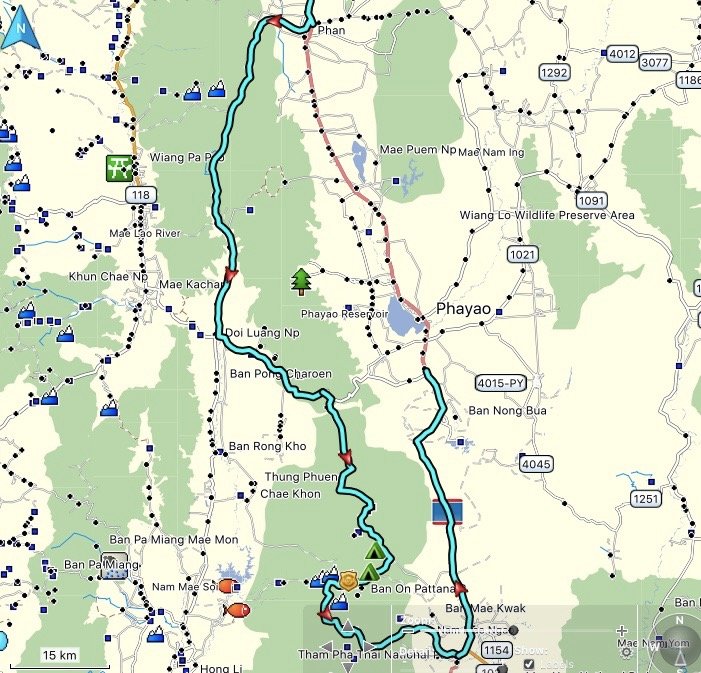
Here is my route I've trimmed out the boring Hwy 1 sections so if you follow this route the way I rode it is the most fun IMHO.
Leaving Phan heading South towards the 3186 this beautiful stupa nd viewpoint.
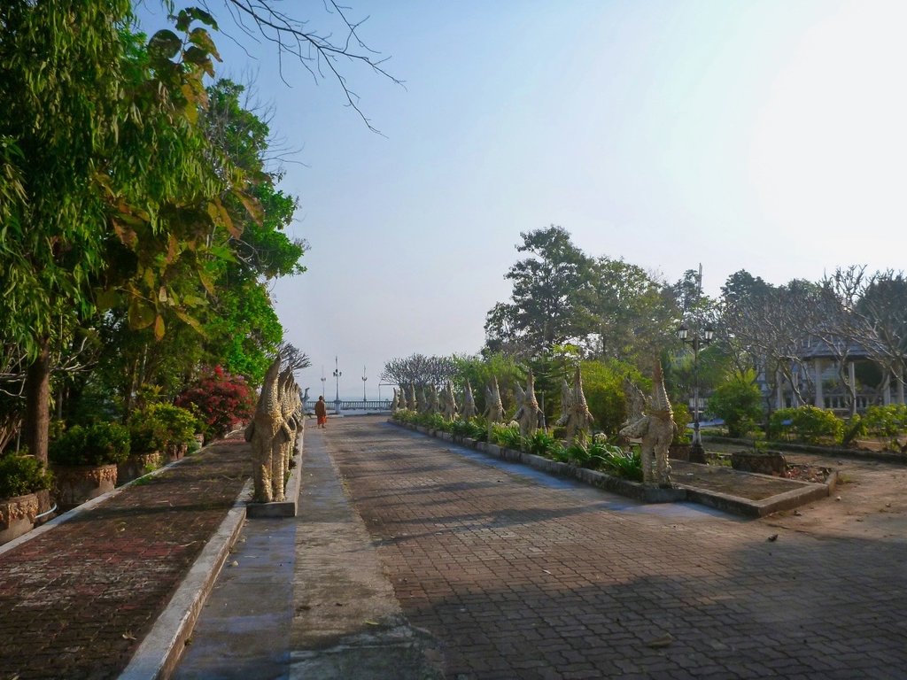
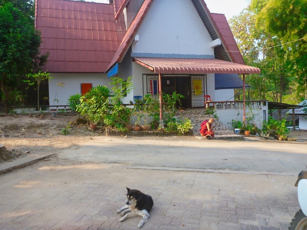
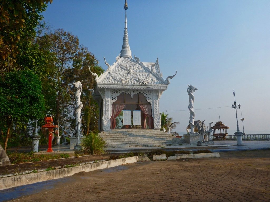
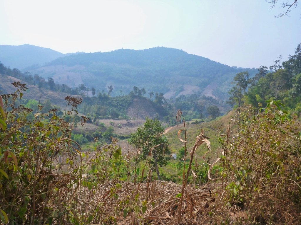
The smokey haze already evident
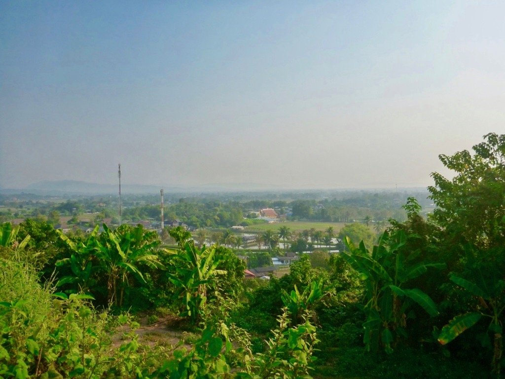
Back down in the flat lands, the valley along the 3186 is always very fertile, no shortage of water here, yet.
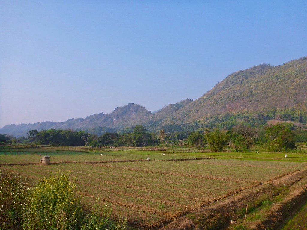
One of the farmers with an artistic streak several scarecrows in interesting attire.
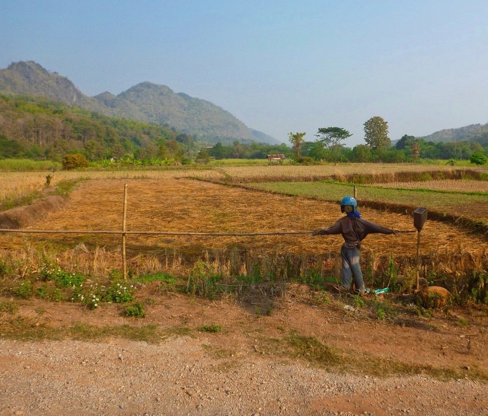
Think he picked this idea from the Halloween movies, reminds me of an area near Siem Reap Cambodia where hundreds of these could be seen.
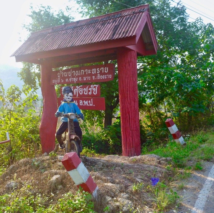
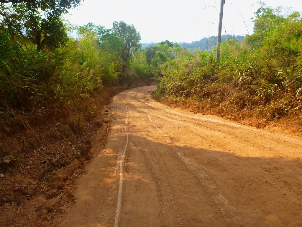
As you head further South the surface changes to a mixture of gravel, dirt and fresh concrete.
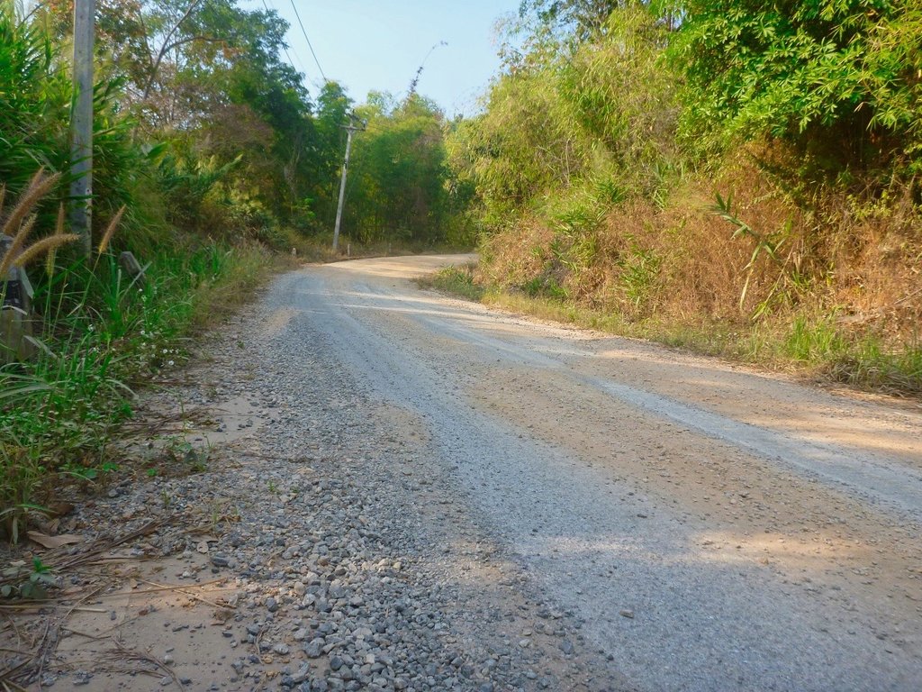
Oh and bulldust.
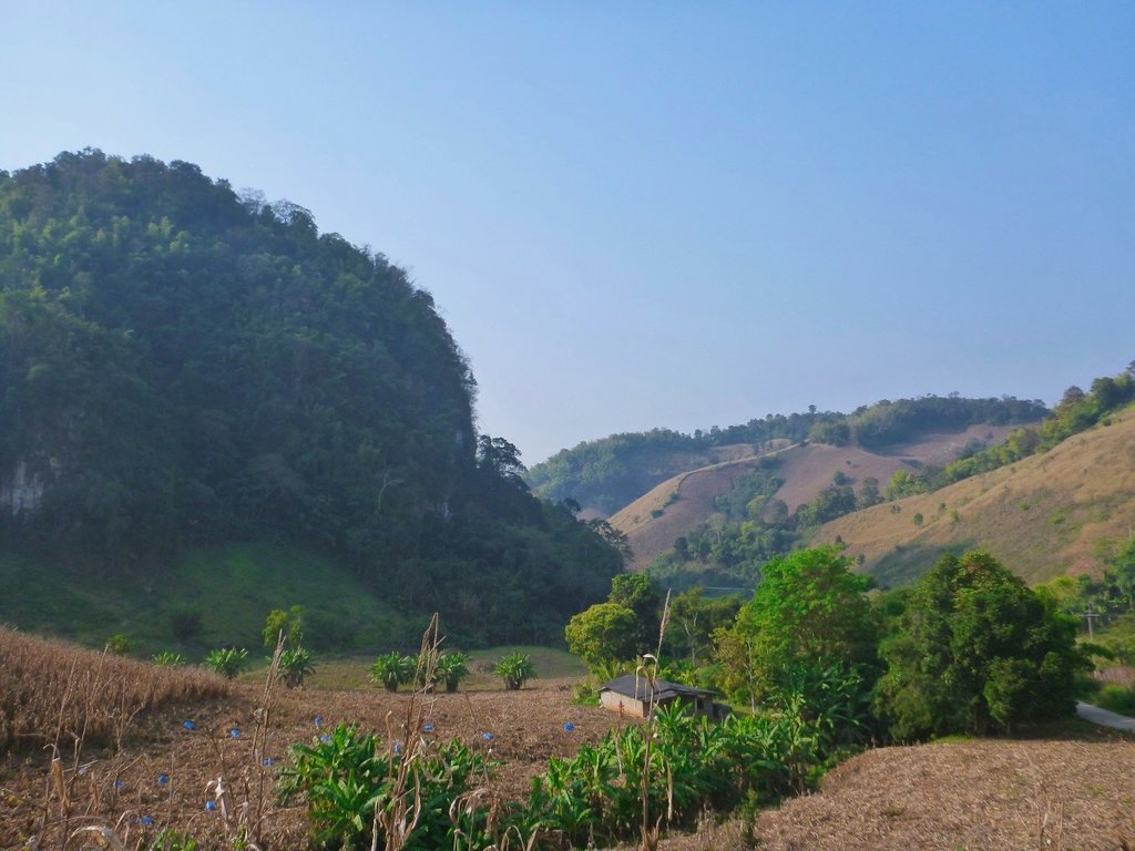
Beautiful karst ranges ahead to add to the contours.
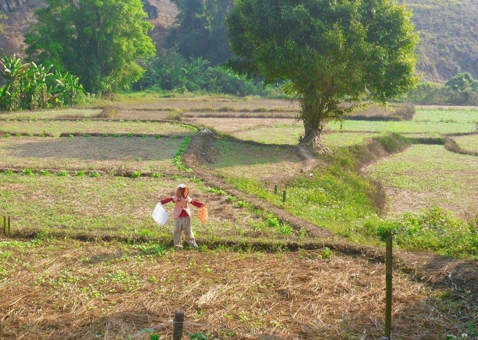
Another scarecrow, this heading back from a shopping trip.
When you reach Pa Wee rangers station it marks the start of the river trail to the left, a new trial has now been carved to the right arriving at the same destination but avoiding the river in the wet season, this short river trail can be brutal in the wet season.
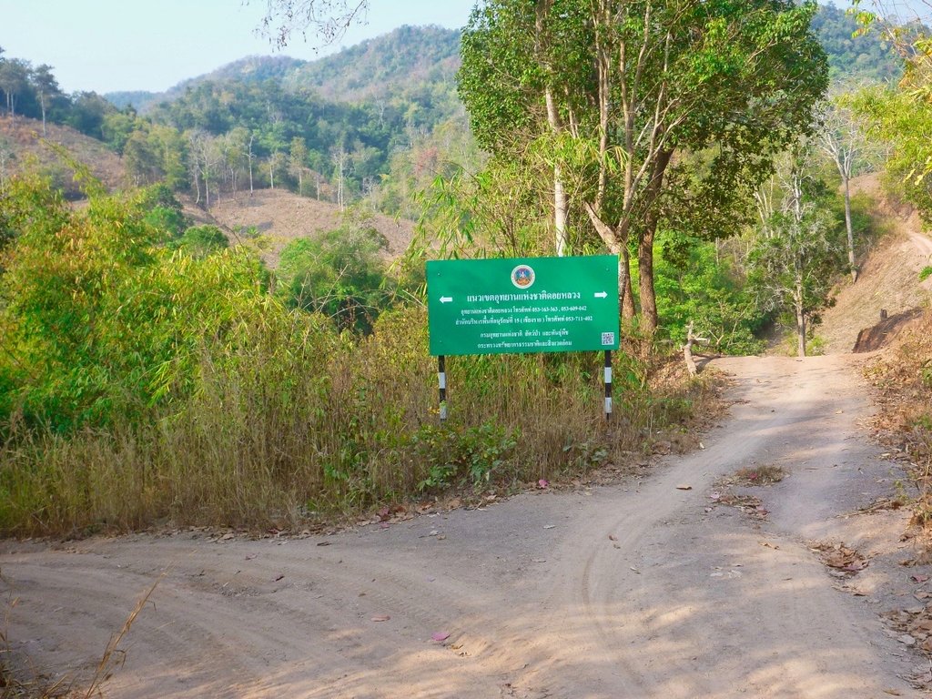
By the looks, the new trail is no cakewalk either.
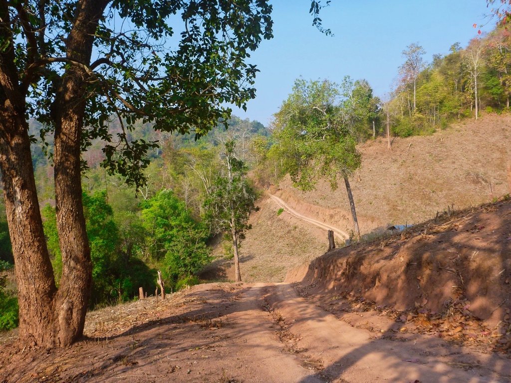
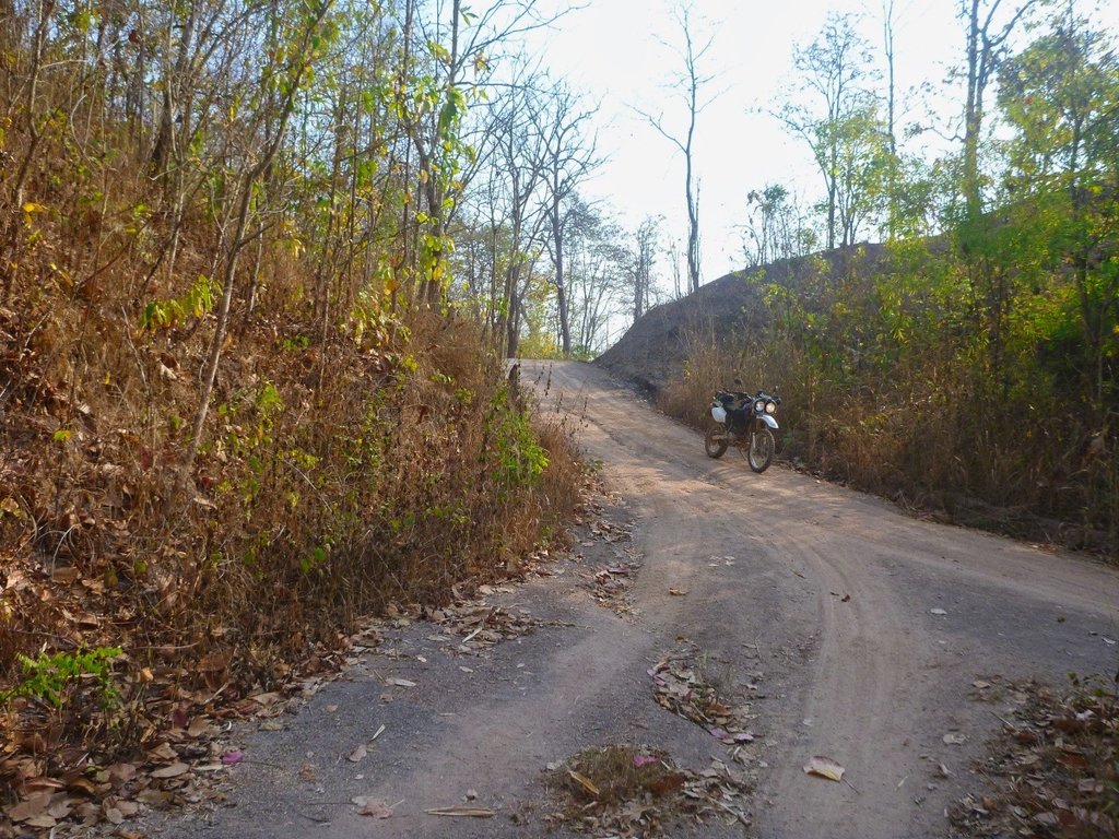
The unnamed river down to a trickle.
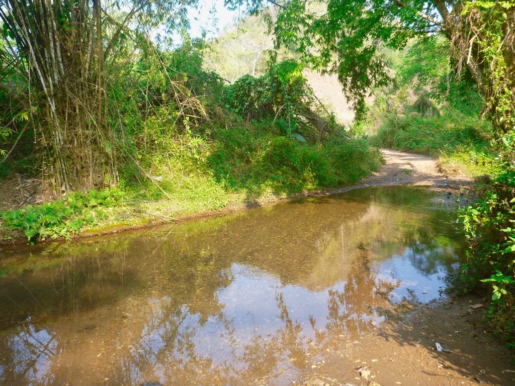
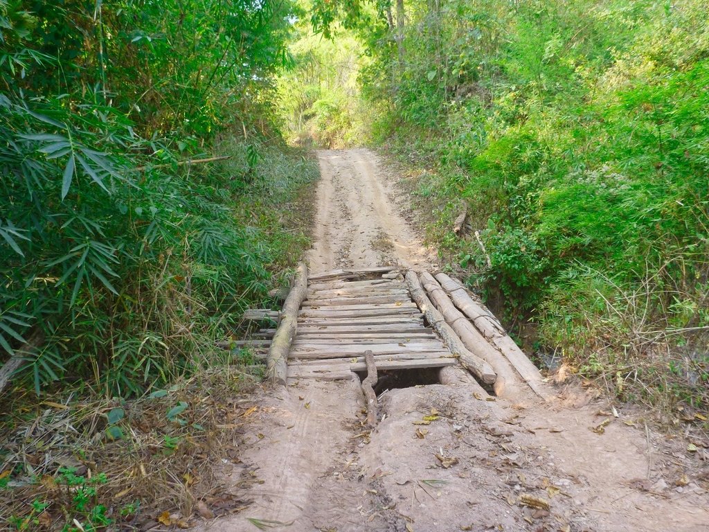
There are several wooden bridges to negotiate, so deserve a closer inspection before you launch yourself to oblivion.
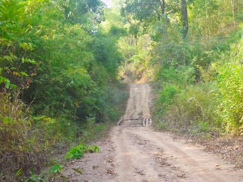
See what I mean, looked easy enough from back there didn't it.
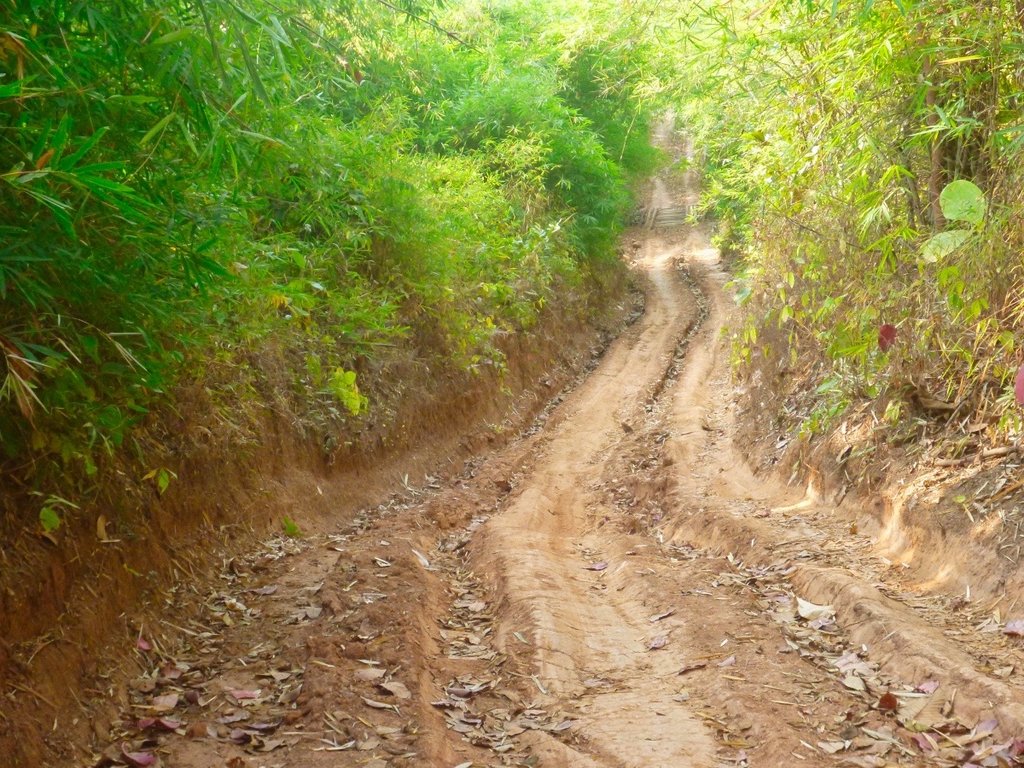
The river bed, 5 months from now a whole different story.
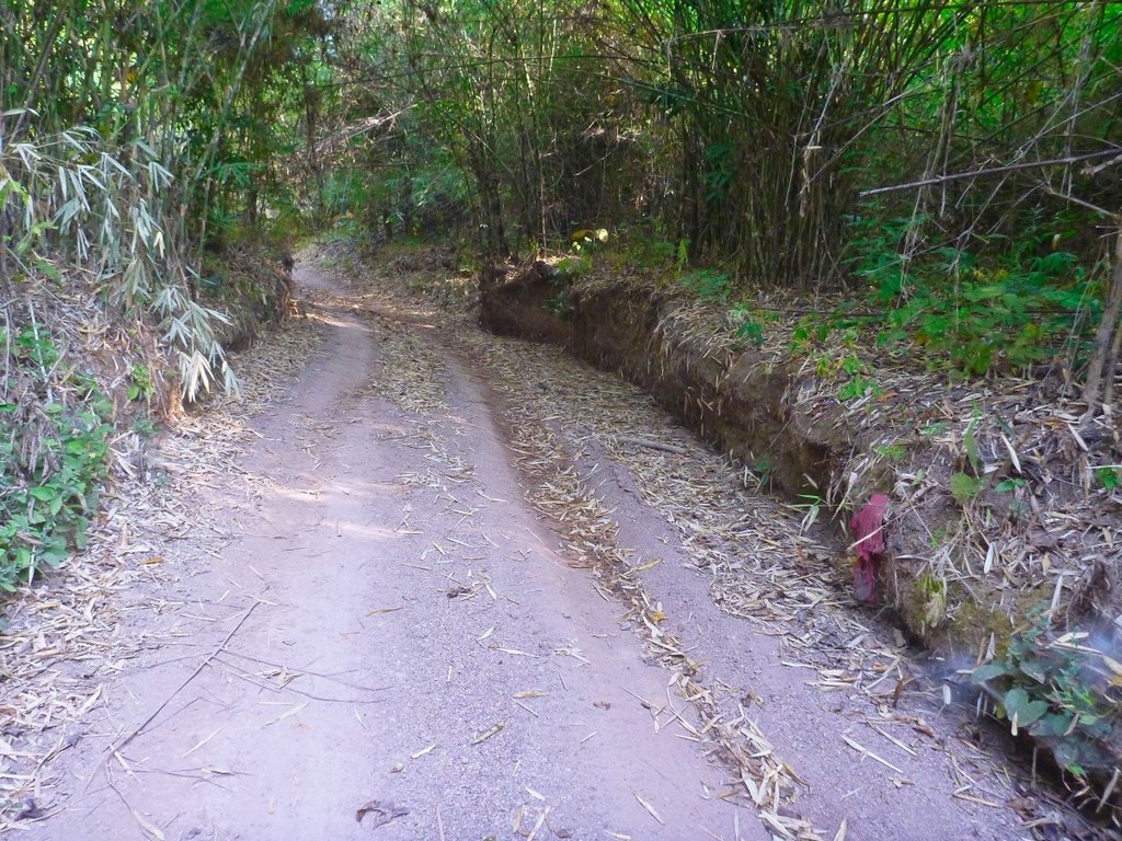
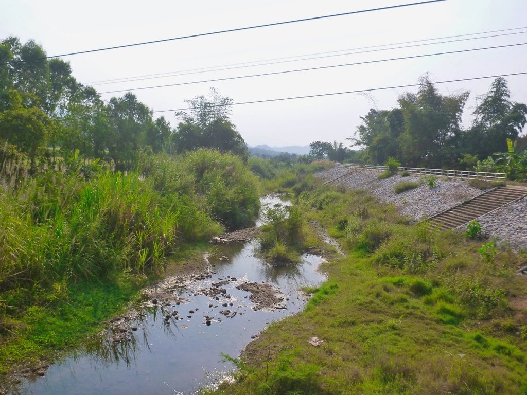
Another river almost dry nearing Wang Kaew NP.
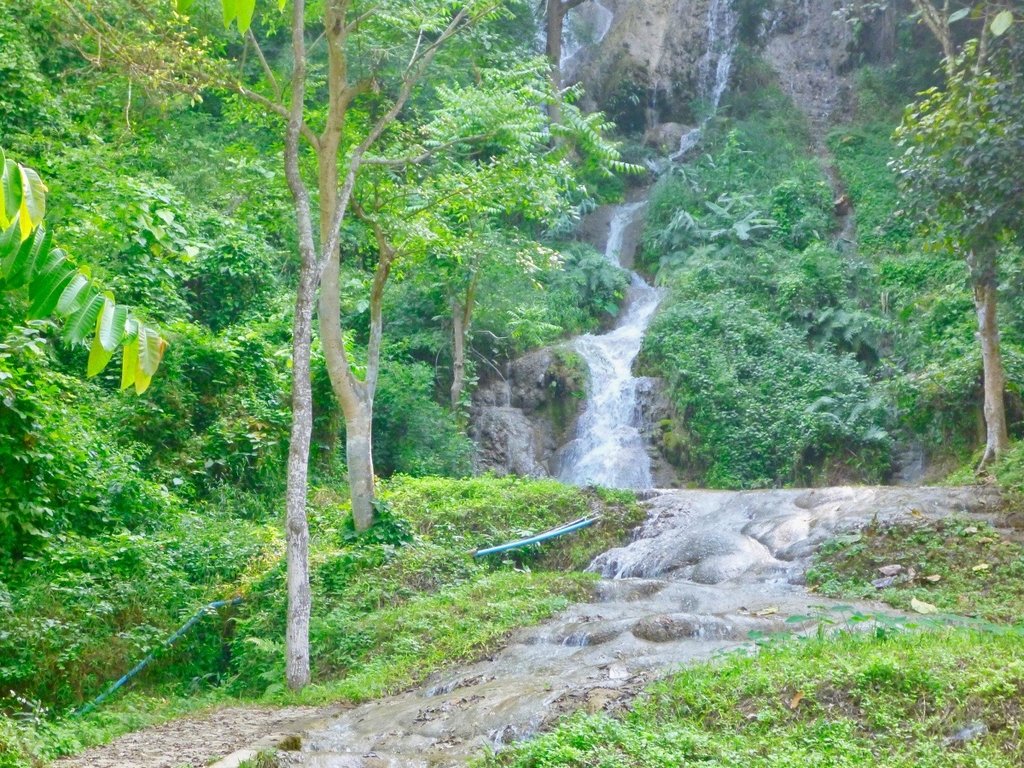
Tarn Tong waterfall still producing a nice picture opportunity along the 120.
Making the turn before you reach the Dinosaurs at the 120 viewing point things change quickly, as you pass through several poor villages.
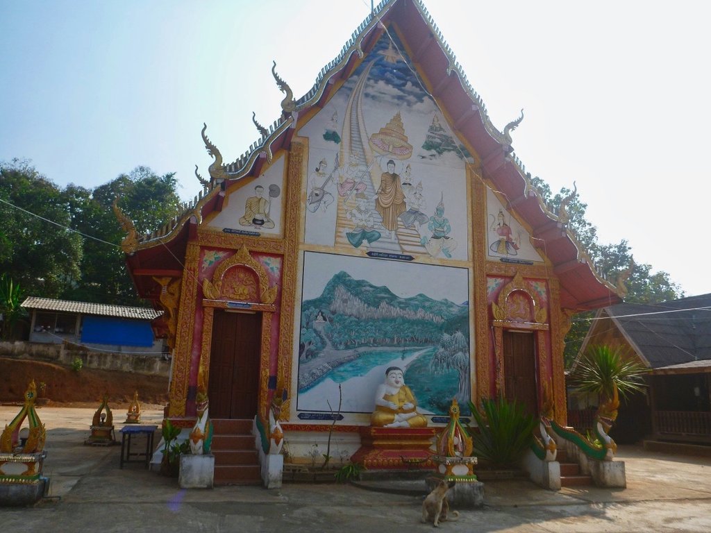
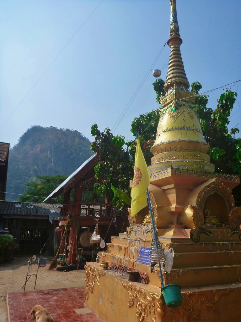
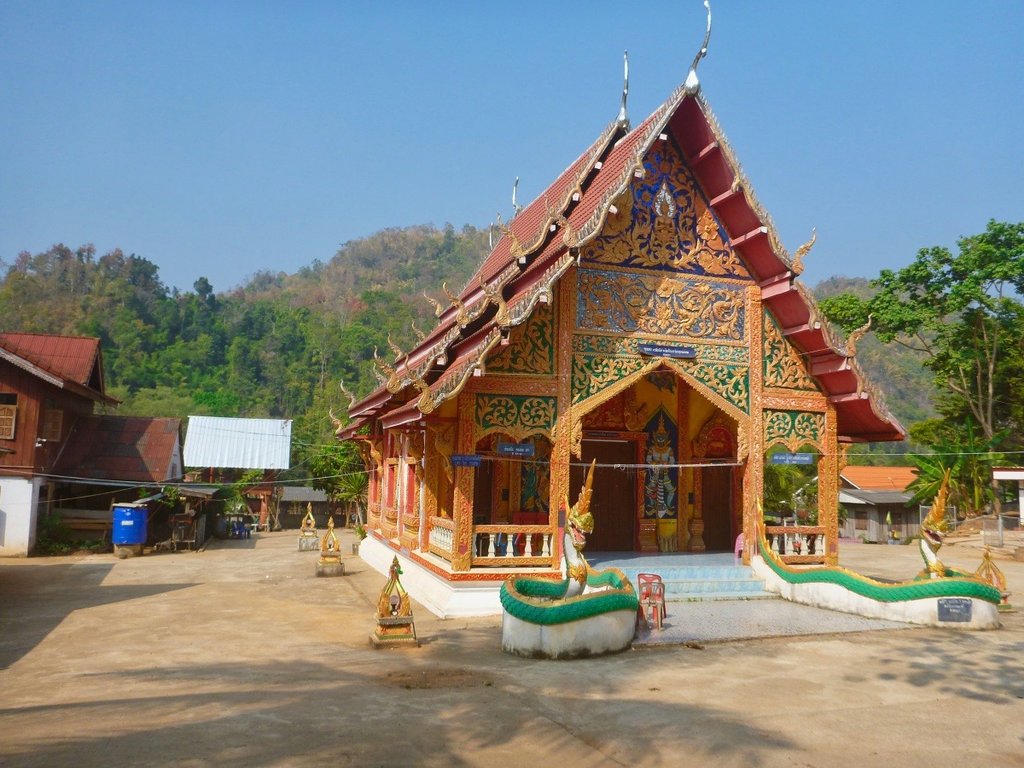
But even the poorest village boasts a resplendent Wat
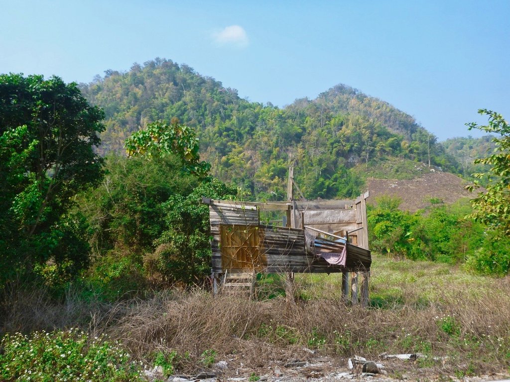
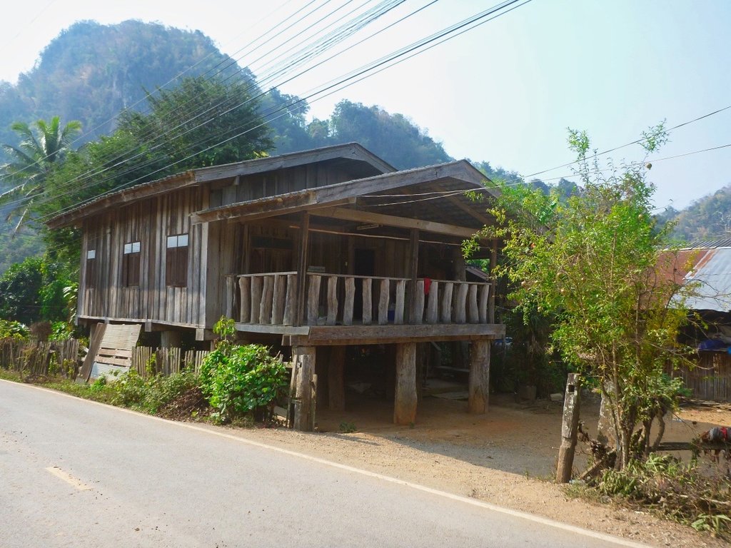
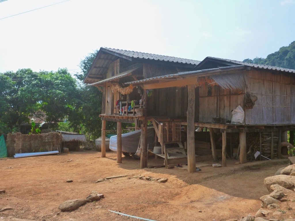
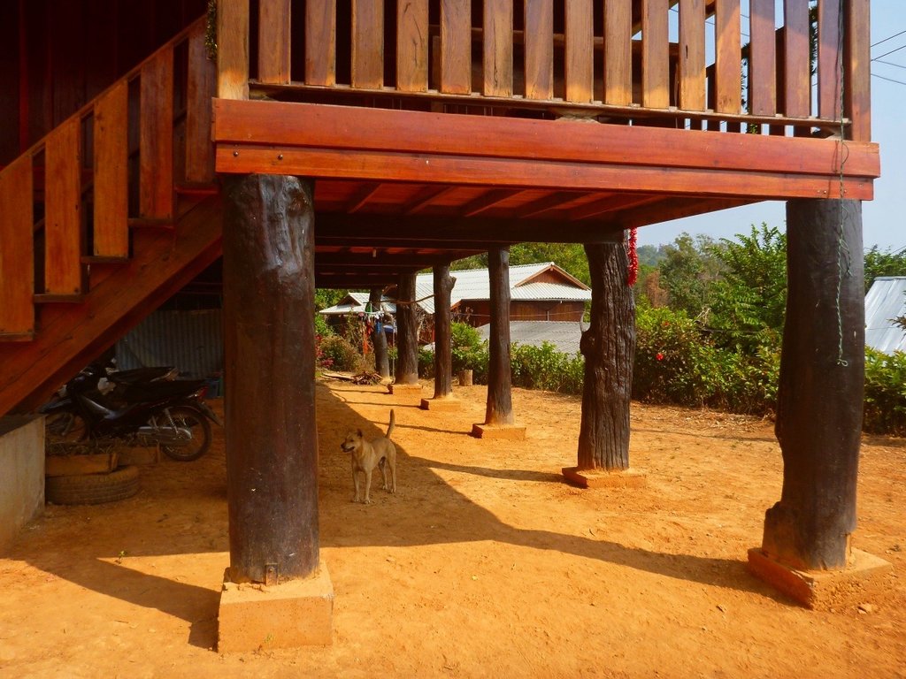
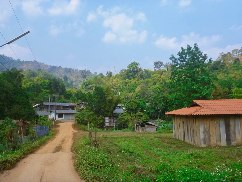
Timber is still abundant and a natural resource for house building, all the houses built from substantial timbers.
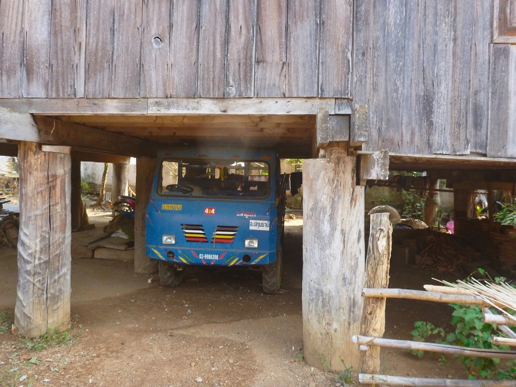
Bit of a tight fit.
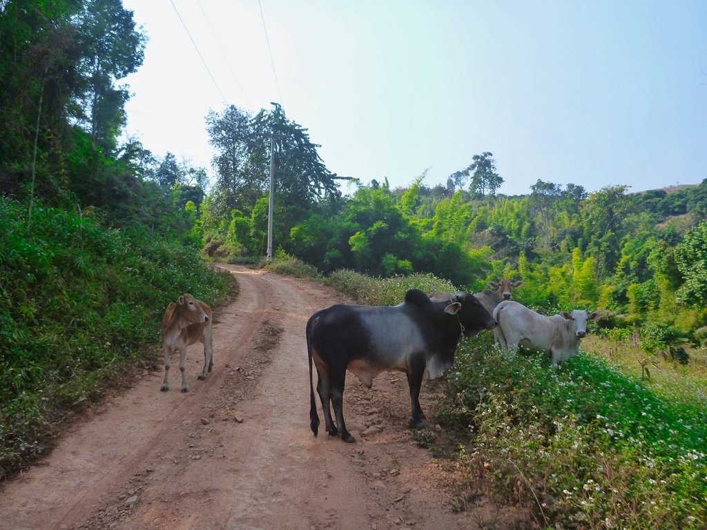
Waited for several minutes, these guys did not want to give.
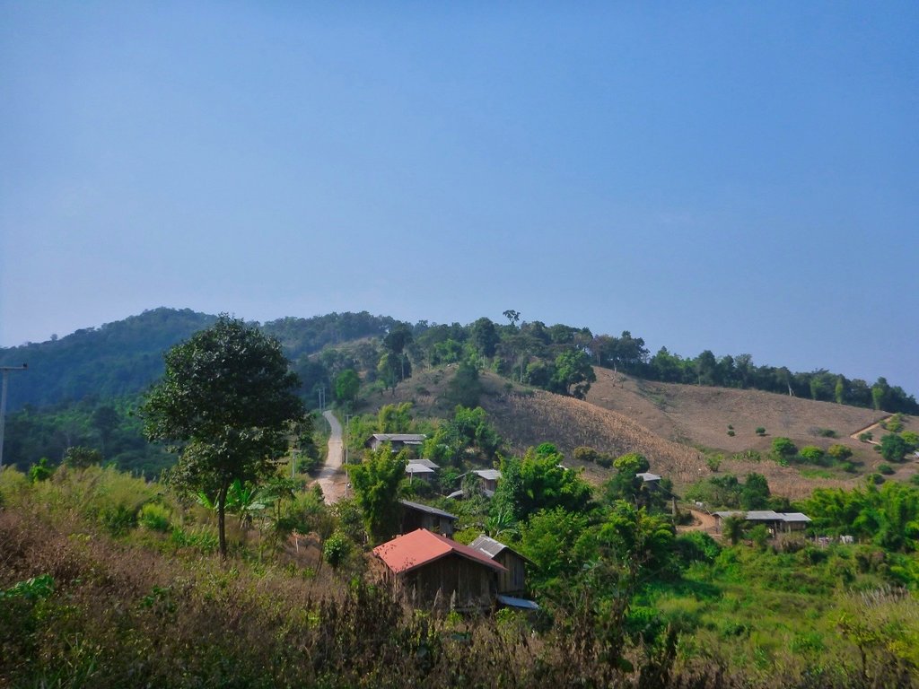
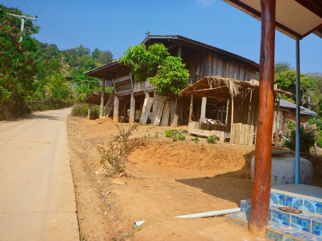
Most but not all of the villages all now paved, one has to wonder how they got the concrete up here.
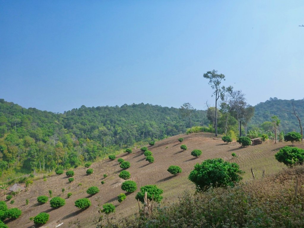
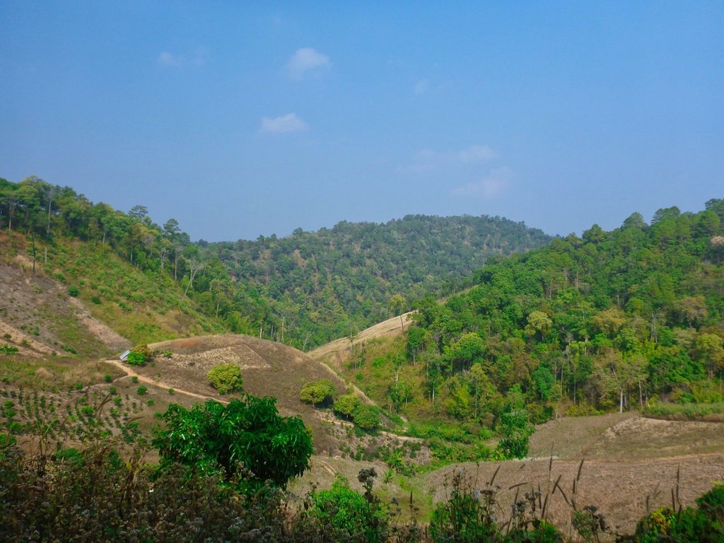
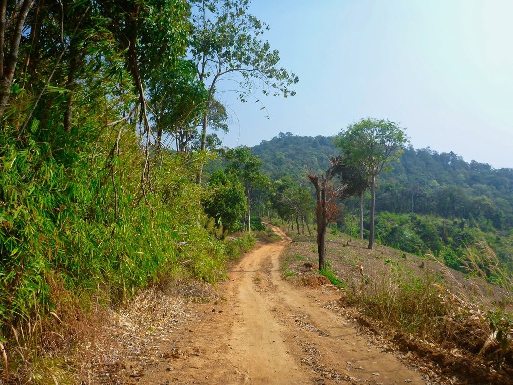
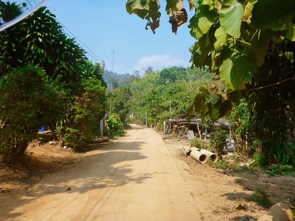
Lots of welcome shaded areas, although the bamboo leaves can be troublesome.
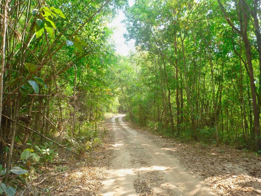
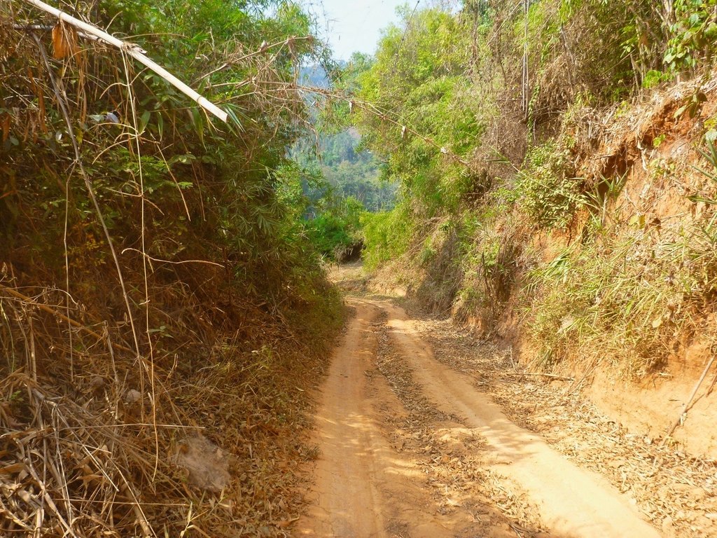
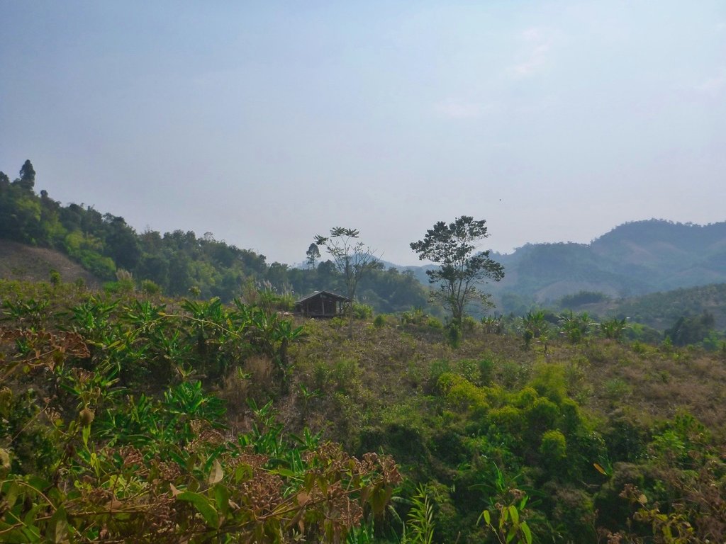
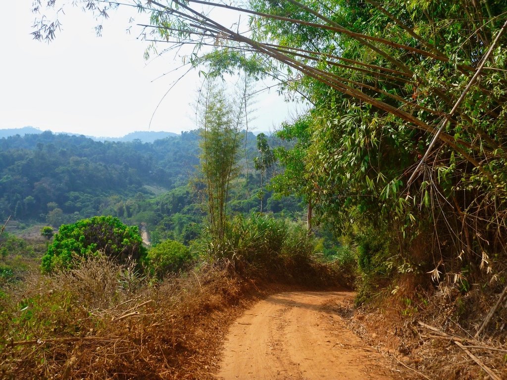
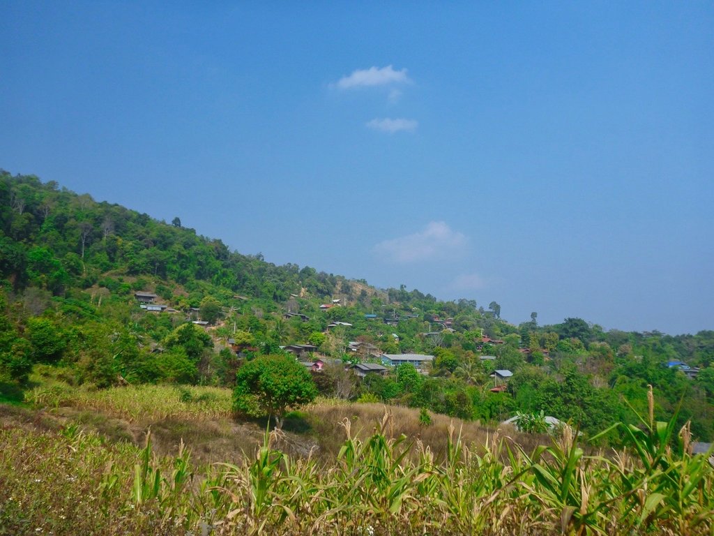
Many, many small villages, most Karen people.
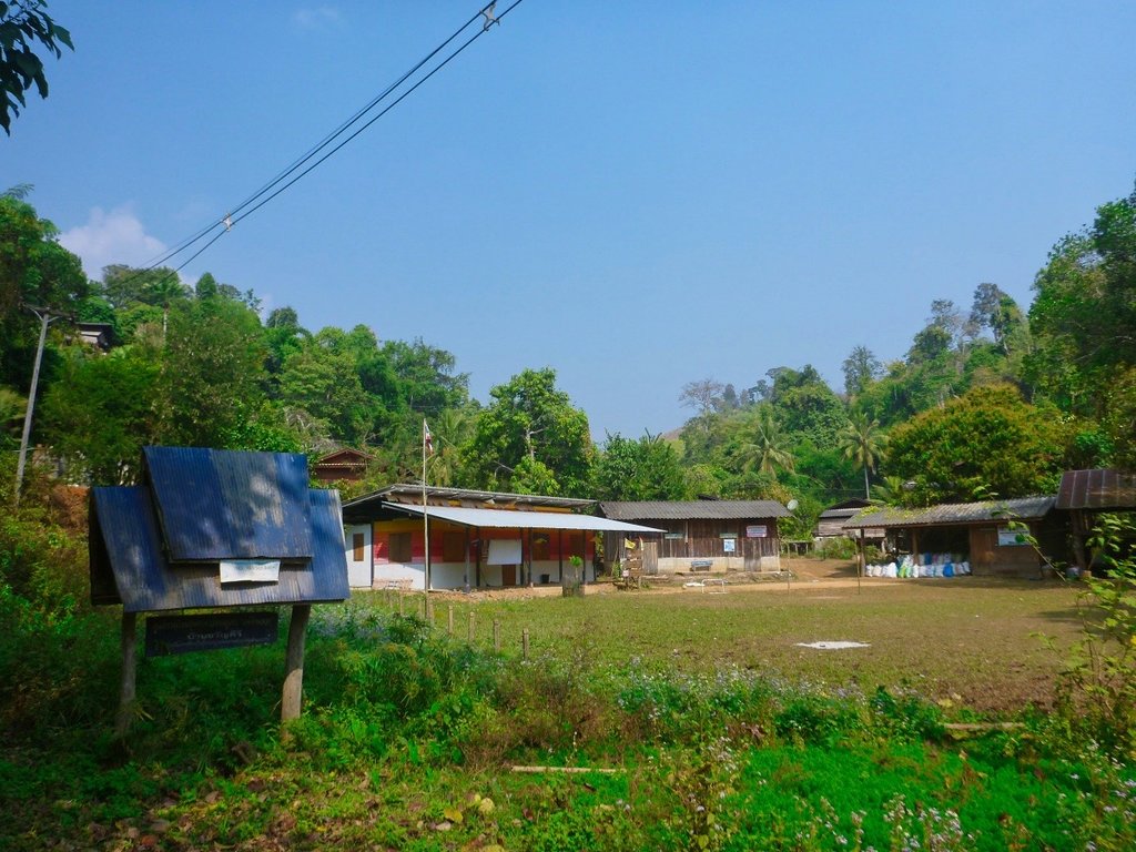
Typical village construction.
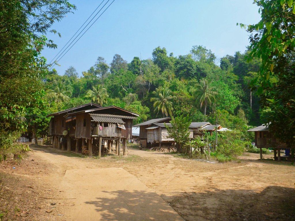
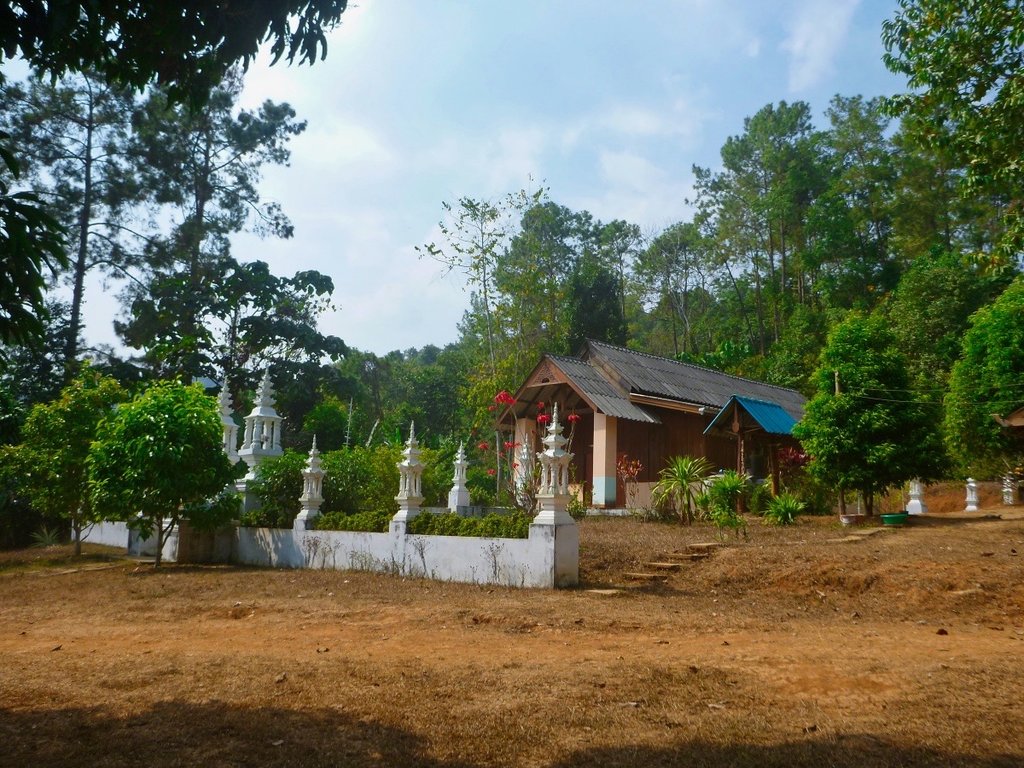
Surprised to find this small Wat, usually, all you see are churches
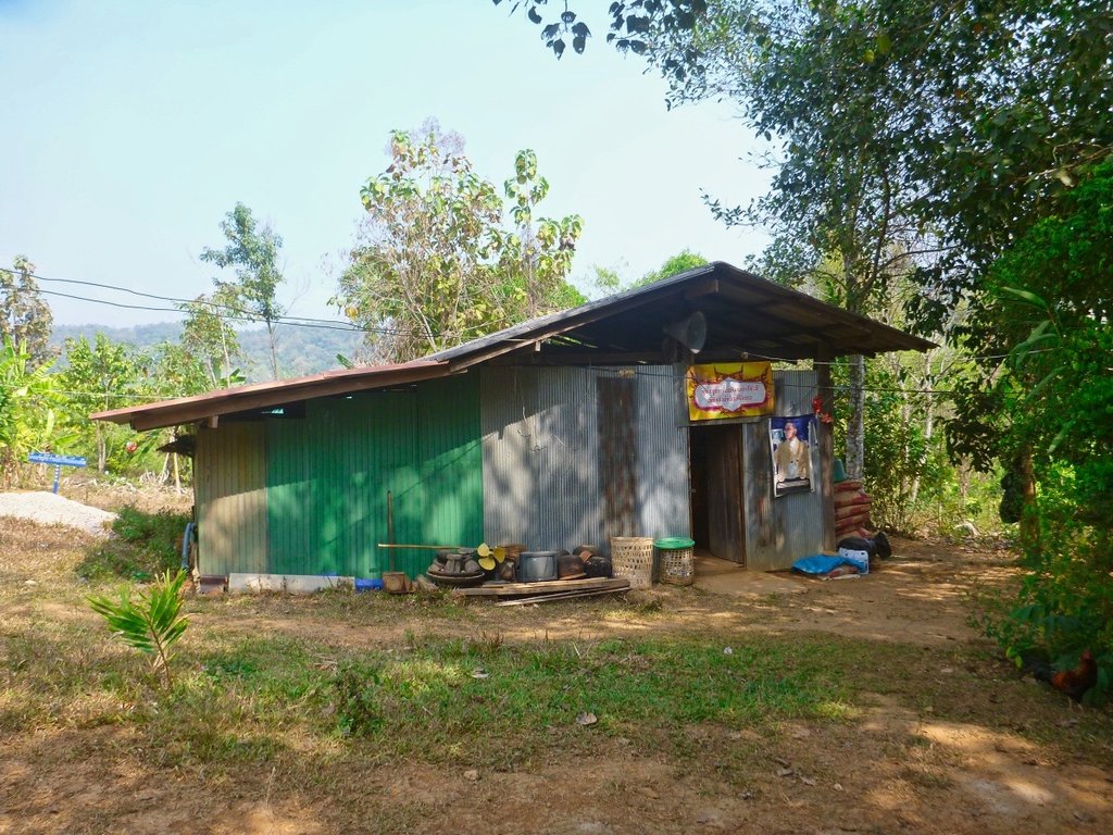
The monk's accommodation, not exactly 5 star.
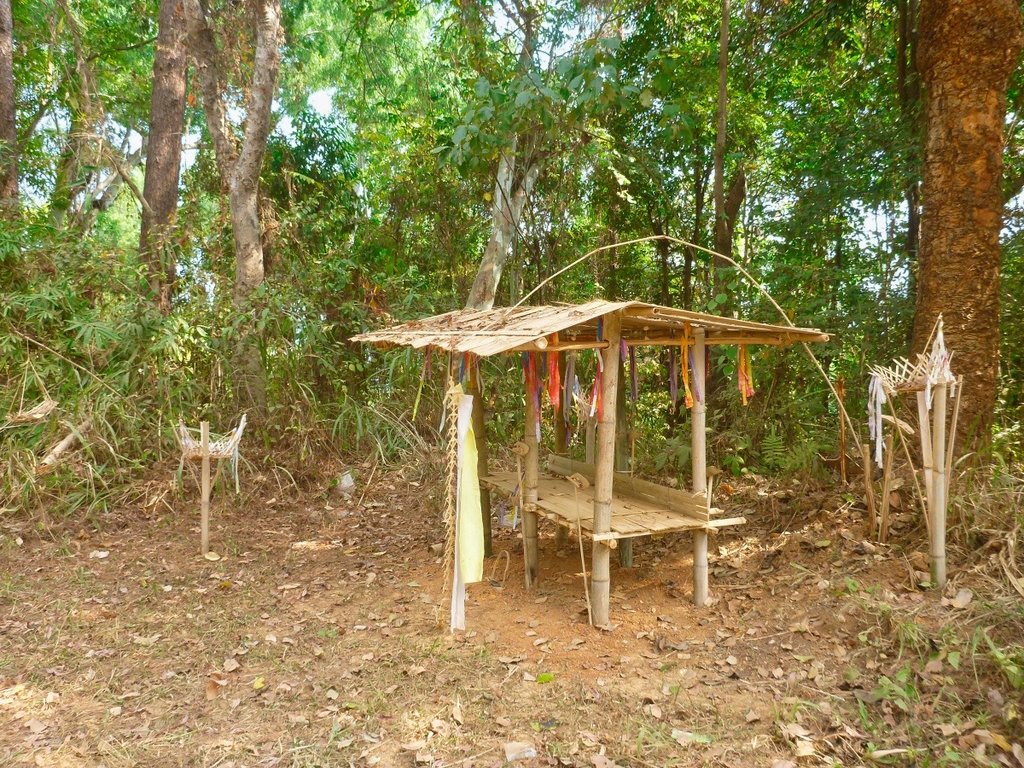
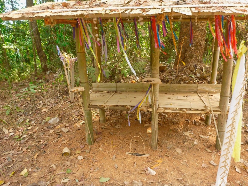
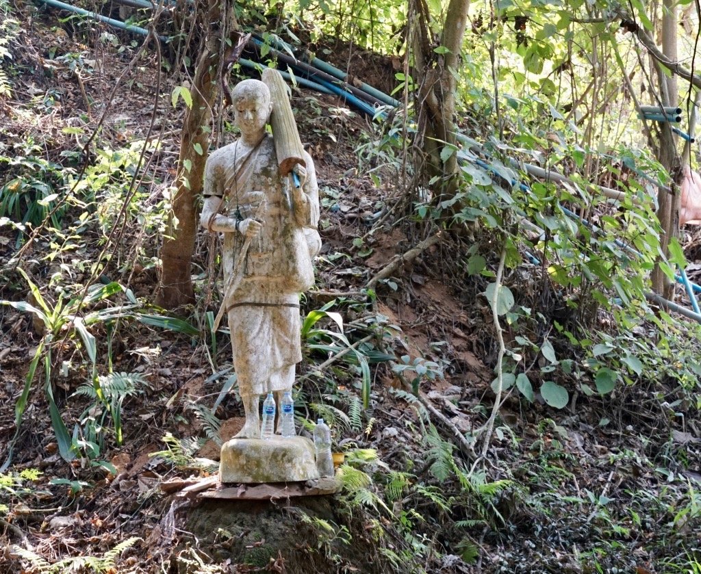
Spirit house to warn off evil spirits.
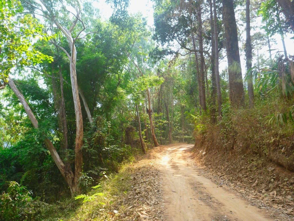
Back in the cool forest sections as the temperatures rose.
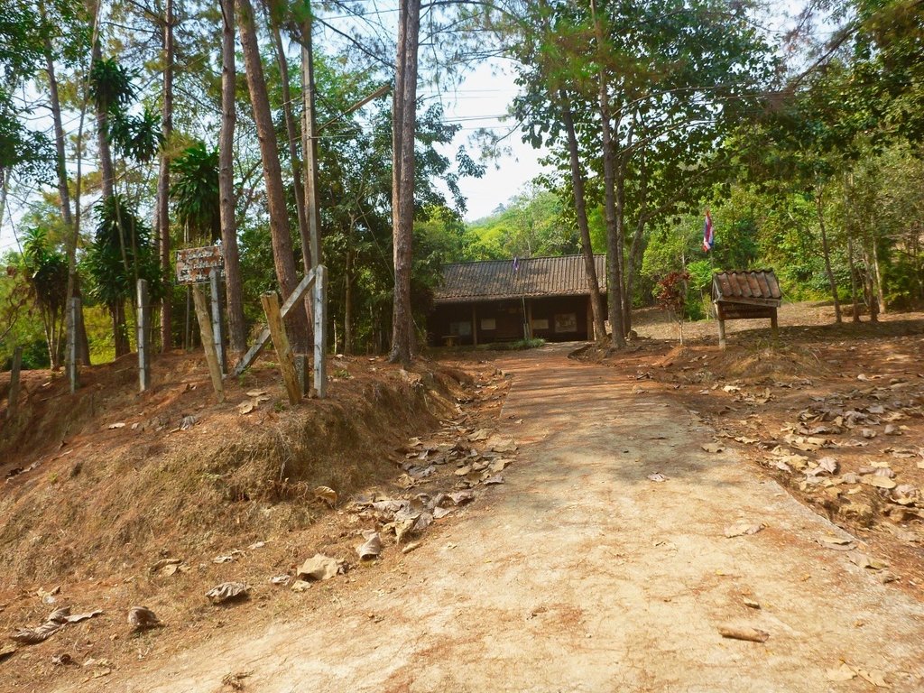
This small run down Karen village looked to have several attempts at creating some small resorts but would make a perfect camping spot.
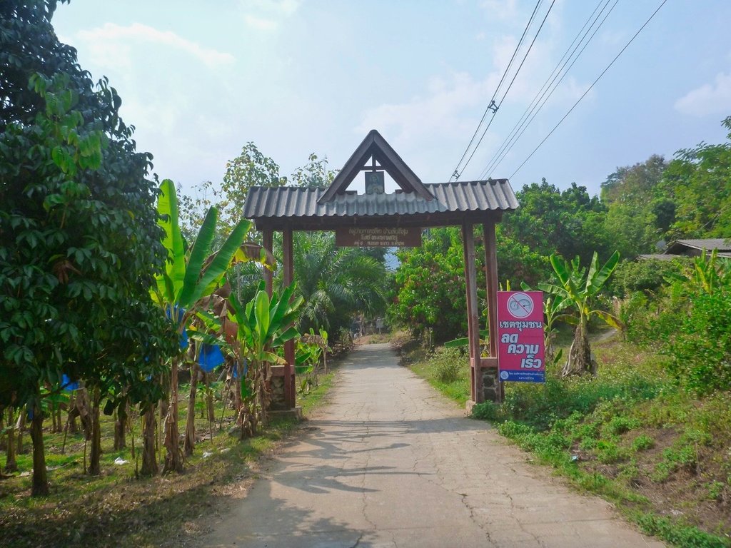
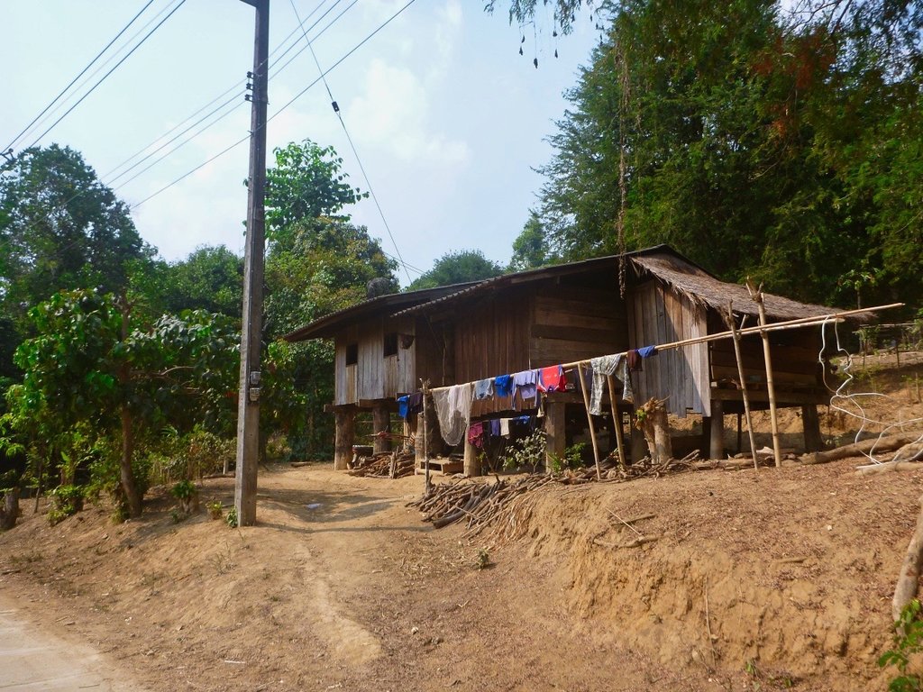
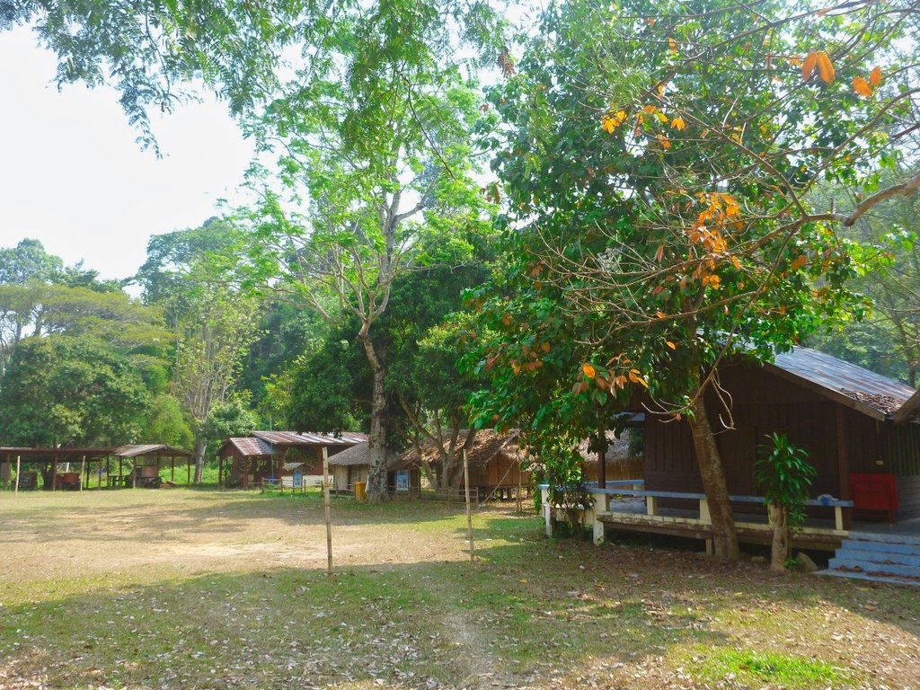
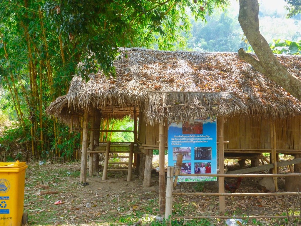
On my camping list in the near future.
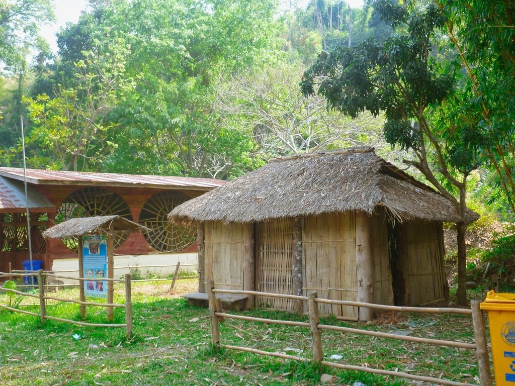
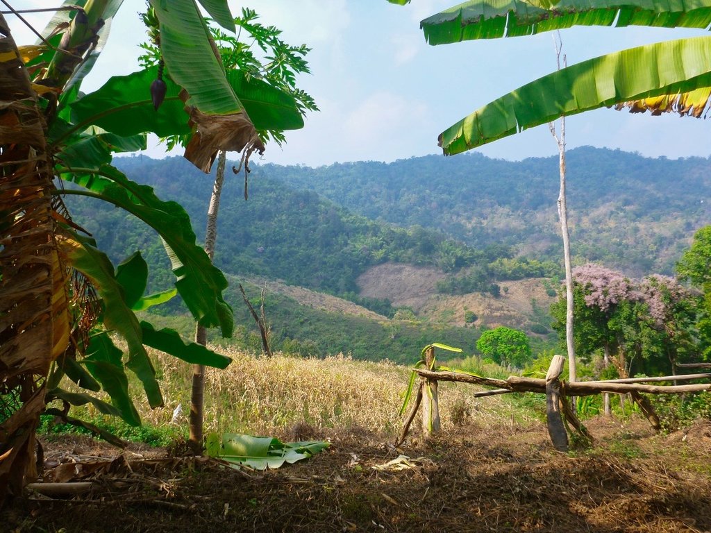
Back out in the open countryside and smoke-free views for the time being.
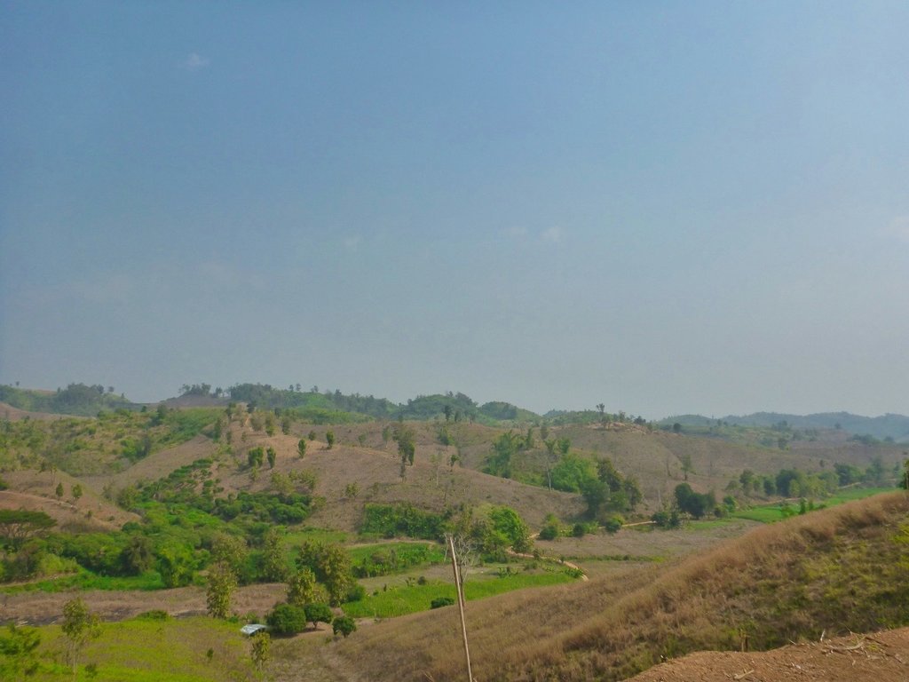
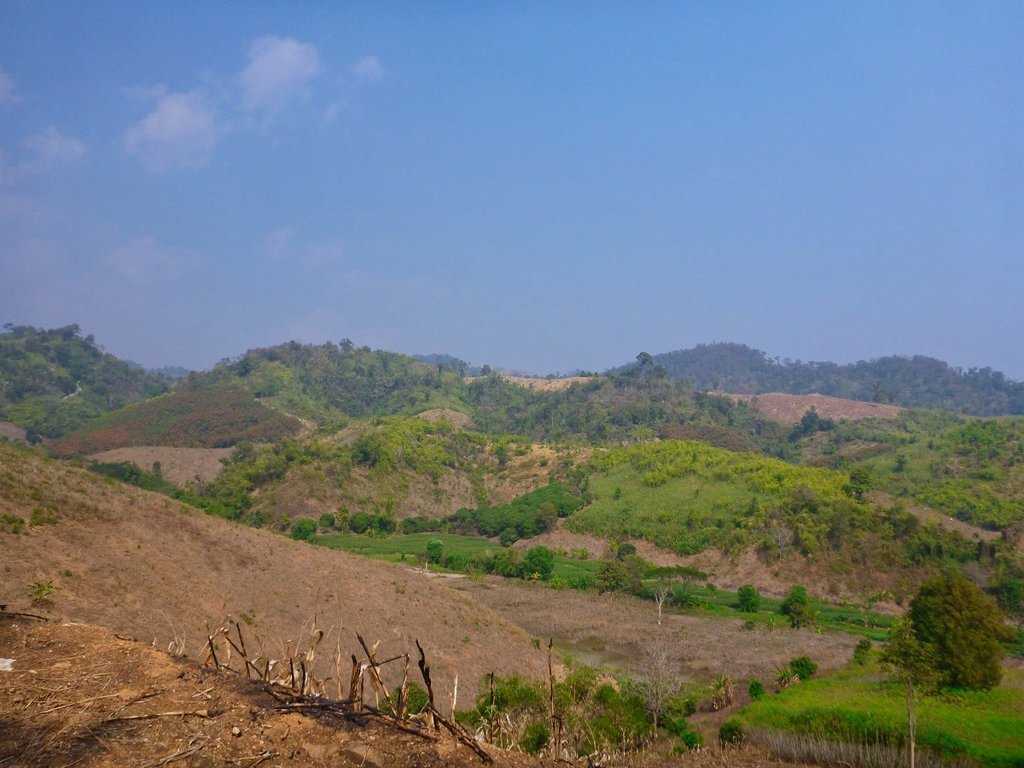
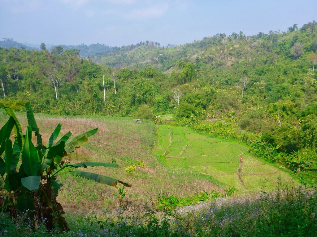
Tham Pha Thai NP also has a great camping area and totally empty.
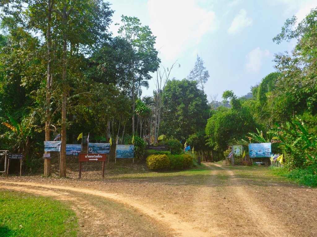
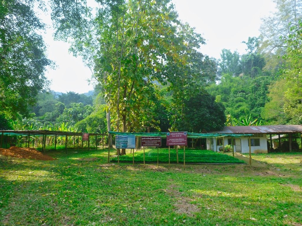
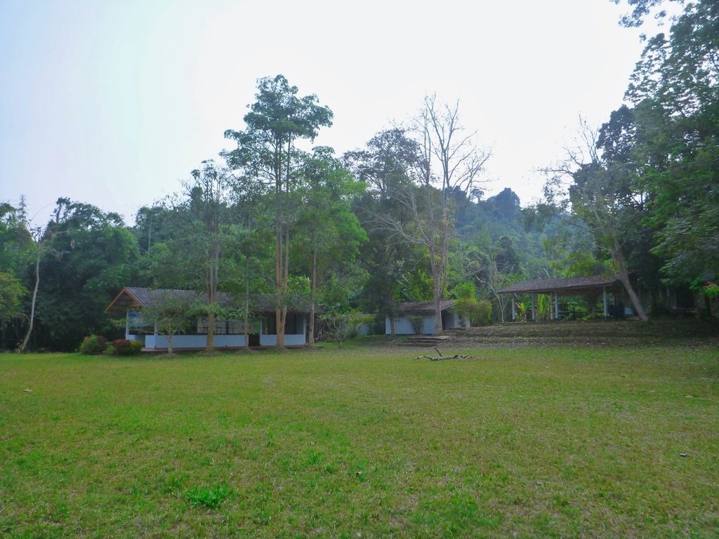
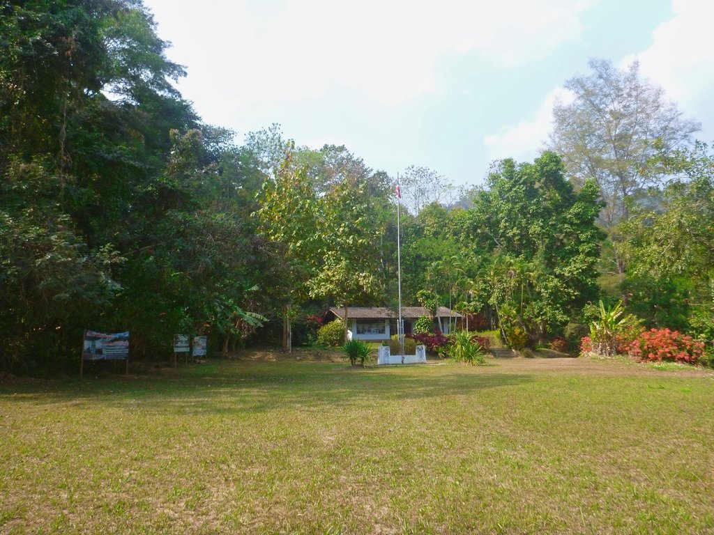
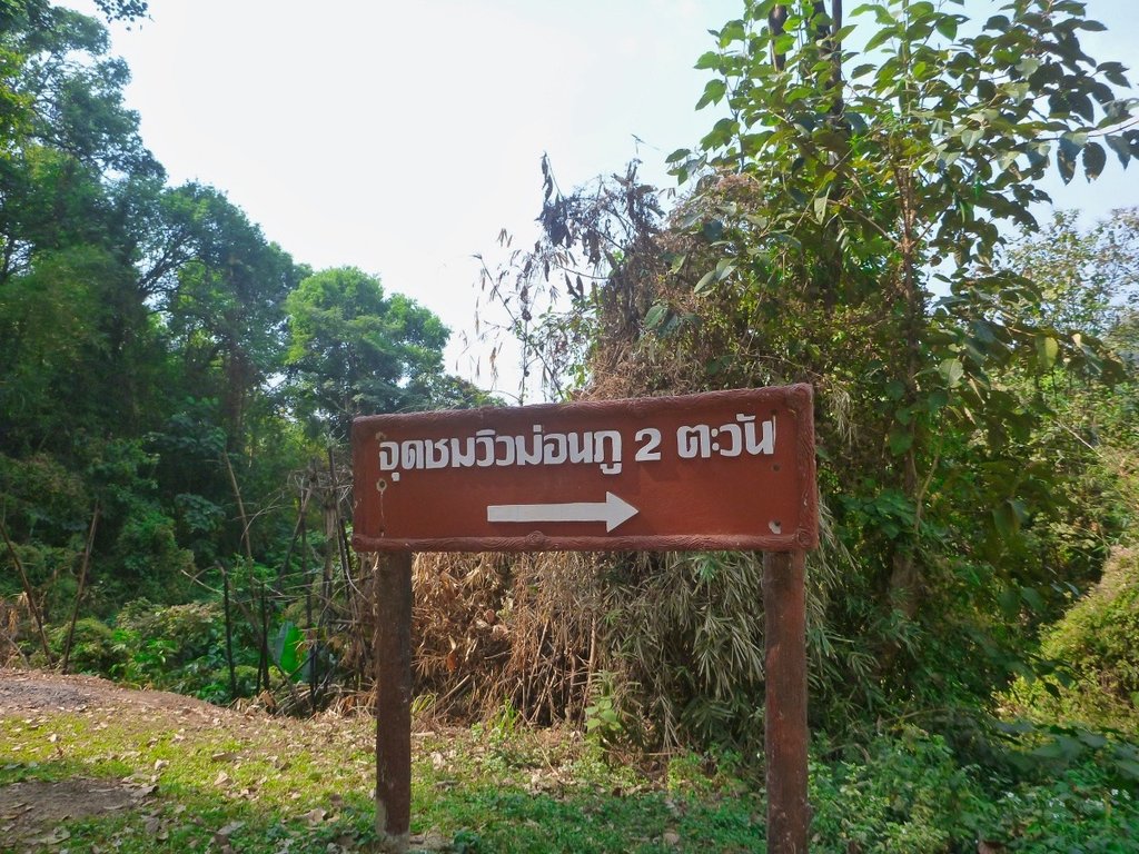
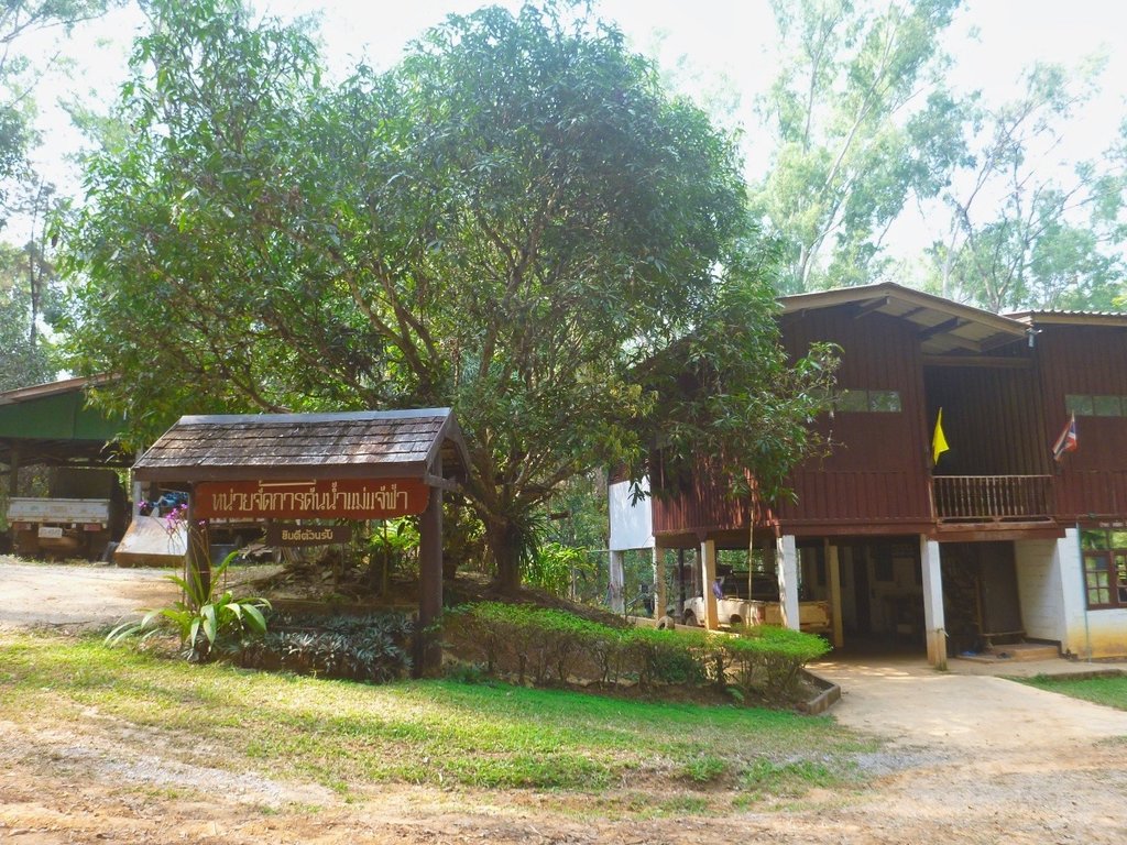
The rangers station near Than Pha Thai peak elevation 1043 m.
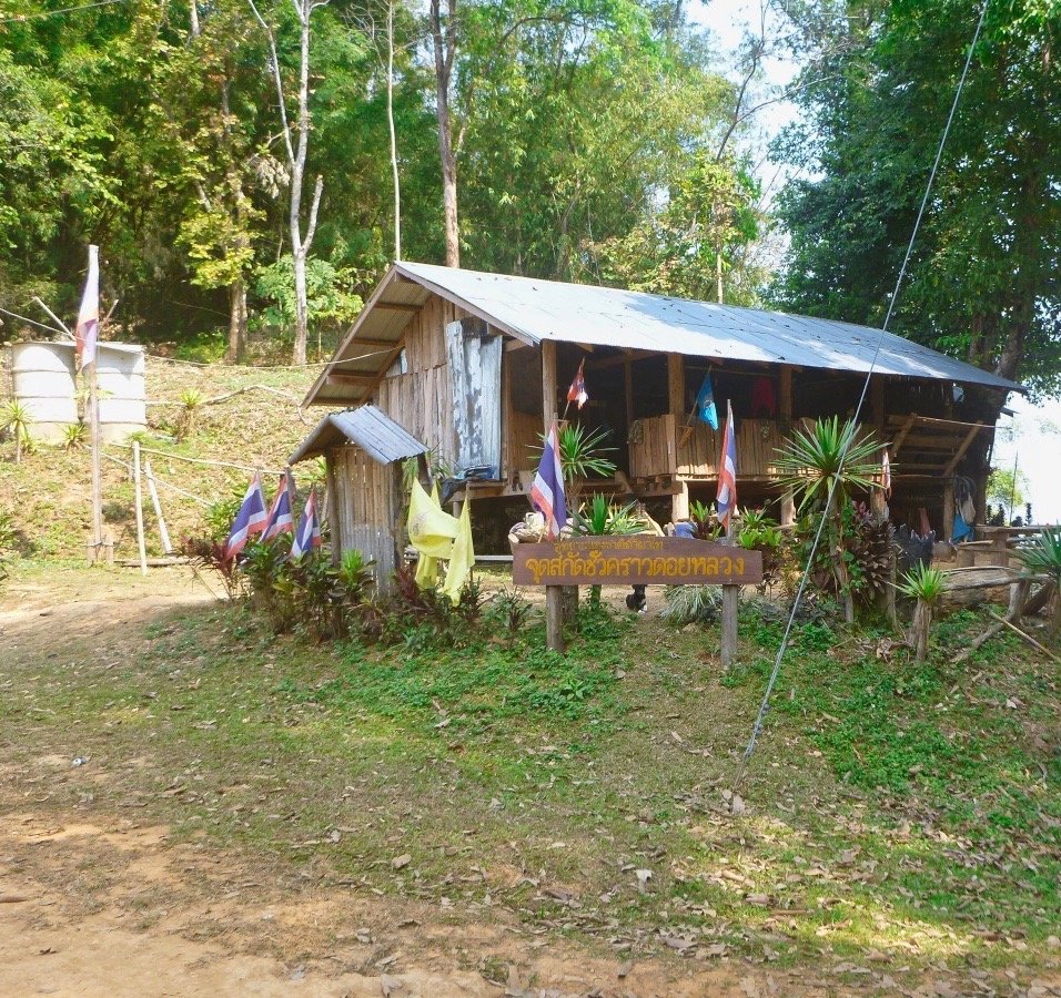
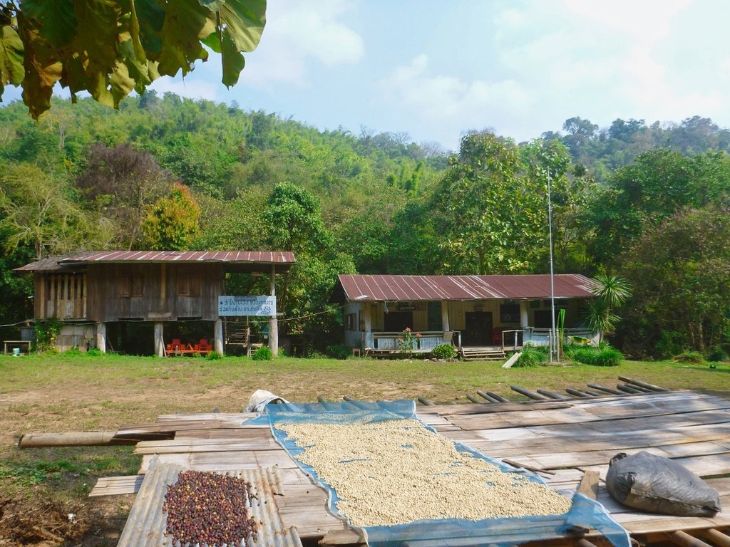
Not sure what this building is, I have pasted before and groups of cyclists had been stopping here.
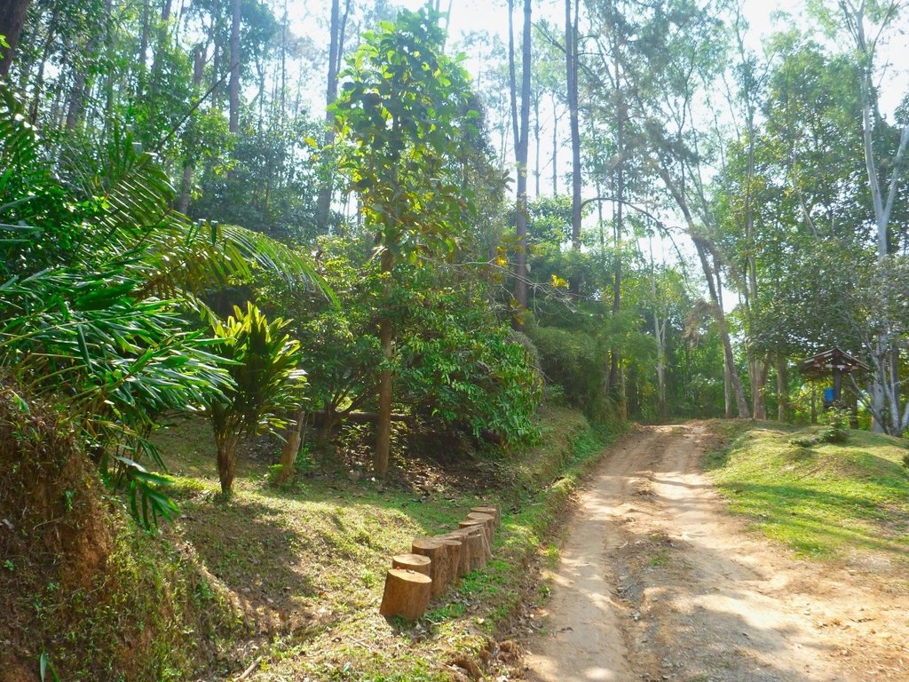
Perhaps the most enjoyable section, where the trails opens up and you can push on.
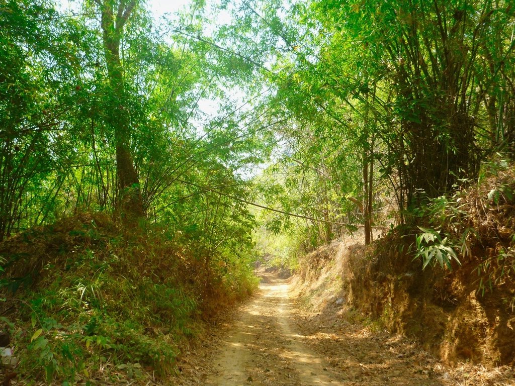
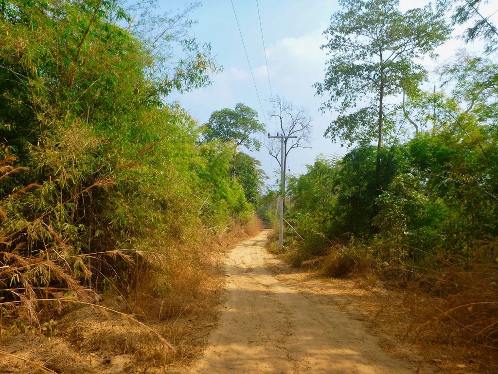
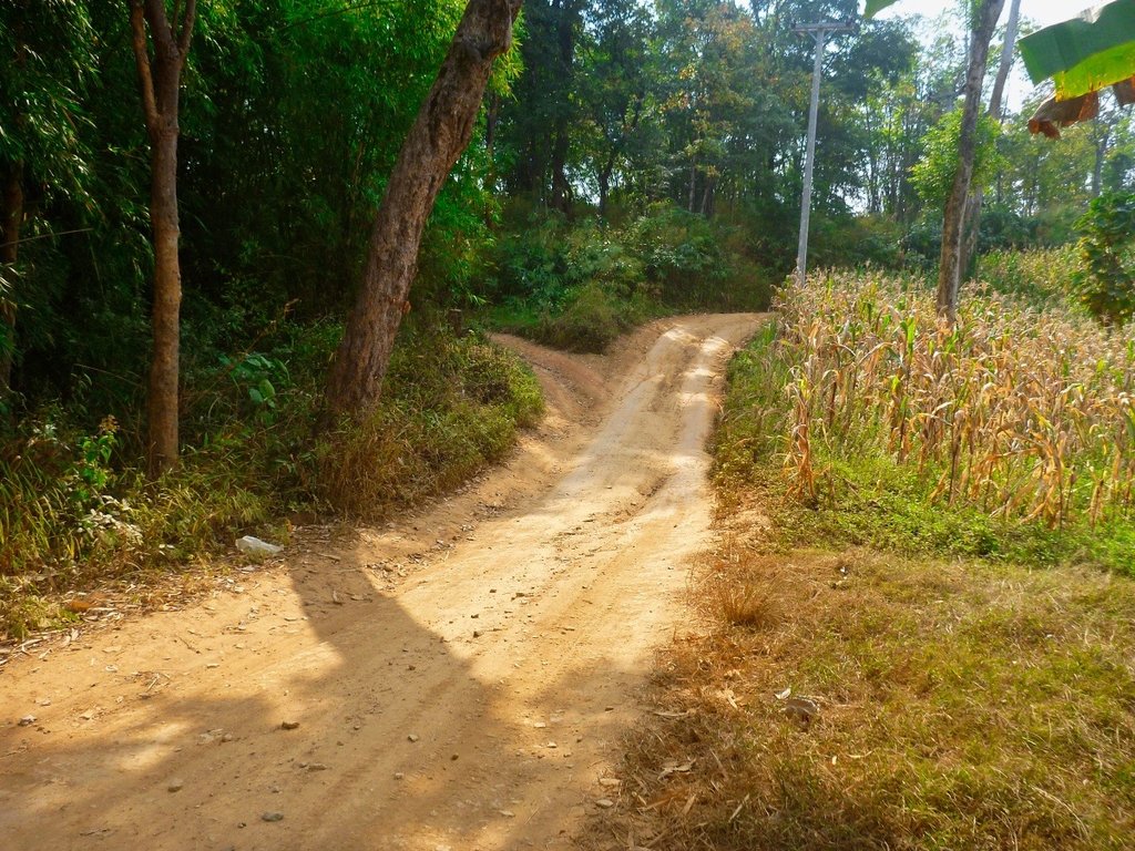
No bulldust and no leaves make for good riding.
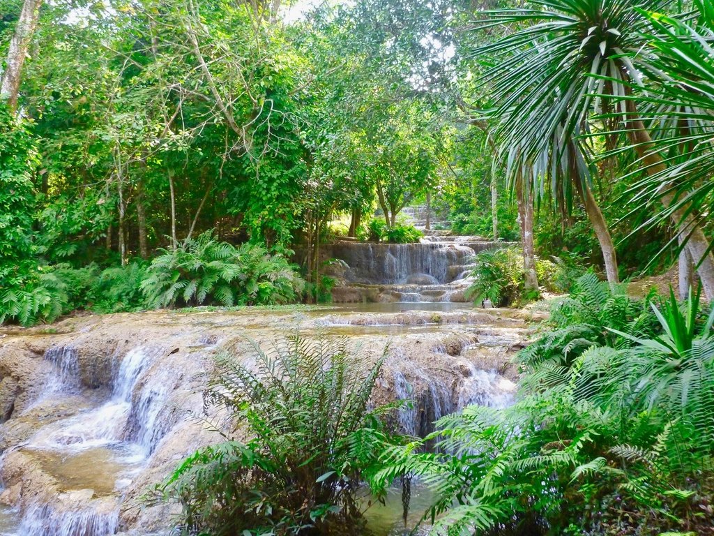
The first of the Mae Kae waterfalls
There is a small shop here selling pot noddles but strangely nothing to drink.
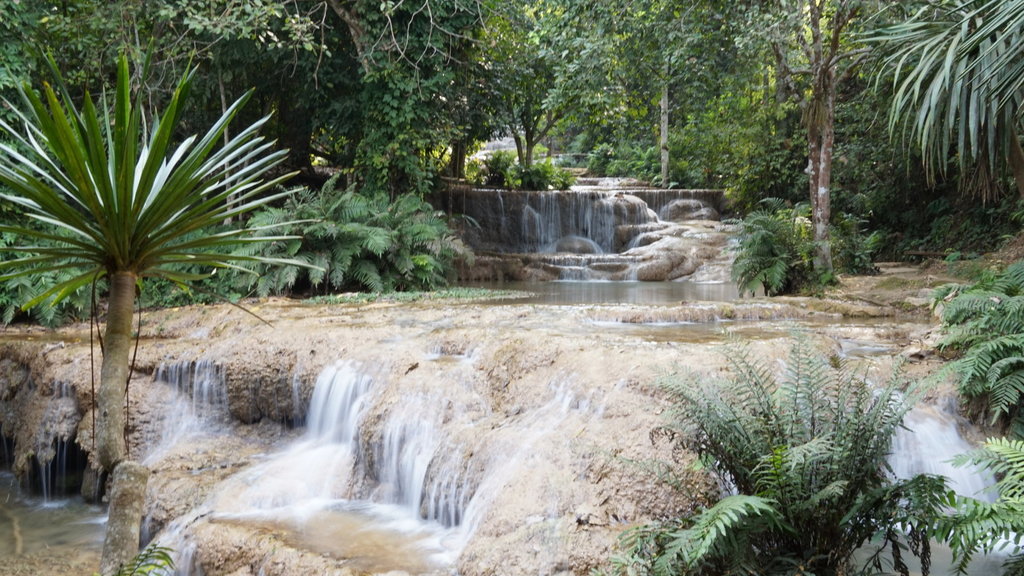
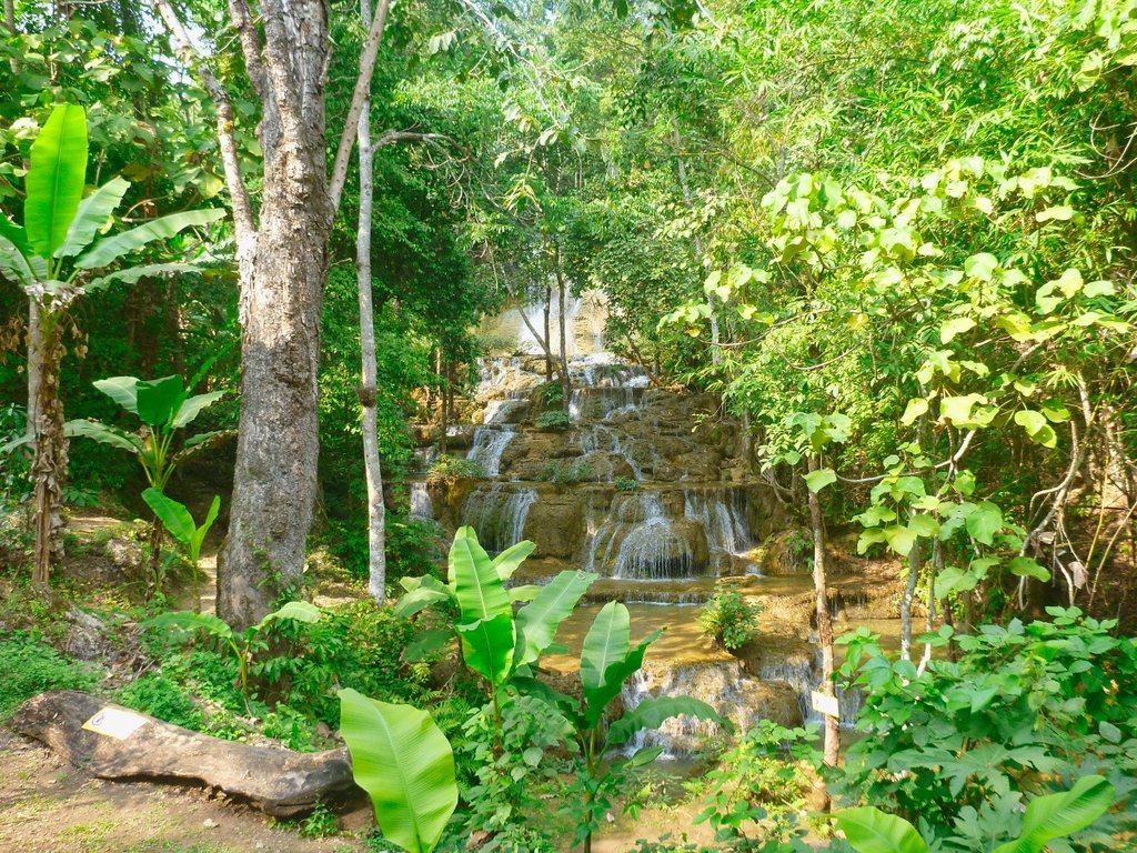
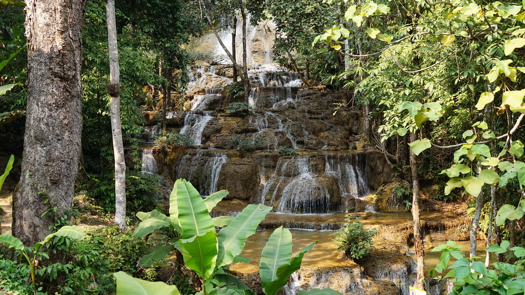
The second not so impressive but later in the season its spectacular.
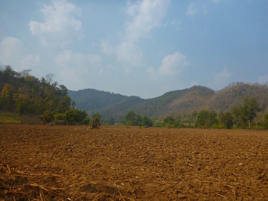
From here its a long bulldust section to reach the pavement at Ban Pong before hitting the HWY 1 marking the end of the fun and the return back home, another enjoyable day in riding paradise.
GPX viewer
Here is my route I've trimmed out the boring Hwy 1 sections so if you follow this route the way I rode it is the most fun IMHO.

Leaving Phan heading South towards the 3186 this beautiful stupa nd viewpoint.


The smokey haze already evident

Back down in the flat lands, the valley along the 3186 is always very fertile, no shortage of water here, yet.

One of the farmers with an artistic streak several scarecrows in interesting attire.

Think he picked this idea from the Halloween movies, reminds me of an area near Siem Reap Cambodia where hundreds of these could be seen.

As you head further South the surface changes to a mixture of gravel, dirt and fresh concrete.

Oh and bulldust.

Beautiful karst ranges ahead to add to the contours.

Another scarecrow, this heading back from a shopping trip.

When you reach Pa Wee rangers station it marks the start of the river trail to the left, a new trial has now been carved to the right arriving at the same destination but avoiding the river in the wet season, this short river trail can be brutal in the wet season.

By the looks, the new trail is no cakewalk either.


The unnamed river down to a trickle.

There are several wooden bridges to negotiate, so deserve a closer inspection before you launch yourself to oblivion.

See what I mean, looked easy enough from back there didn't it.


The river bed, 5 months from now a whole different story.

Another river almost dry nearing Wang Kaew NP.

Tarn Tong waterfall still producing a nice picture opportunity along the 120.

Making the turn before you reach the Dinosaurs at the 120 viewing point things change quickly, as you pass through several poor villages.

But even the poorest village boasts a resplendent Wat


Timber is still abundant and a natural resource for house building, all the houses built from substantial timbers.

Bit of a tight fit.


Waited for several minutes, these guys did not want to give.


Most but not all of the villages all now paved, one has to wonder how they got the concrete up here.


Lots of welcome shaded areas, although the bamboo leaves can be troublesome.


Many, many small villages, most Karen people.

Typical village construction.

Surprised to find this small Wat, usually, all you see are churches

The monk's accommodation, not exactly 5 star.

Spirit house to warn off evil spirits.


Back in the cool forest sections as the temperatures rose.


This small run down Karen village looked to have several attempts at creating some small resorts but would make a perfect camping spot.


On my camping list in the near future.

Back out in the open countryside and smoke-free views for the time being.


Tham Pha Thai NP also has a great camping area and totally empty.


The rangers station near Than Pha Thai peak elevation 1043 m.

Not sure what this building is, I have pasted before and groups of cyclists had been stopping here.


Perhaps the most enjoyable section, where the trails opens up and you can push on.


No bulldust and no leaves make for good riding.


The first of the Mae Kae waterfalls

There is a small shop here selling pot noddles but strangely nothing to drink.


The second not so impressive but later in the season its spectacular.


From here its a long bulldust section to reach the pavement at Ban Pong before hitting the HWY 1 marking the end of the fun and the return back home, another enjoyable day in riding paradise.

GPX viewer

