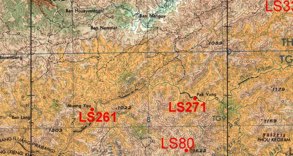
Well, during, and before, a whole lot of small airstrips were built all over Thailand and Laos. There were 100+ strips in both countries. The immediate Chiang Khong area, for example, had three or four within 10 km of town, altho almost none of them were used after the flood of 1966. The major airports in Thailand were numbered but there were also a host of real wee strips, too. Korat had three, T-13, 13A, and 13B. Somewhat understandably, the bulk of the airstrips were in the boarder areas. Nong Khai had two, one of which, T-22, was long enough for the Thai Airways DC-3s which flew in and out of the place. They stopped when TA went to turbo prop planes, they picked up gravel and dinged the props too much there. This probably about 1979. Some of the strips were pretty short. You watched that stupid, but fun, movie Mel Gibson did, Air America? At least some of the flying was realistic, like the run in and out of that short strip. So far I've not been able to ID exactly which strip that is.
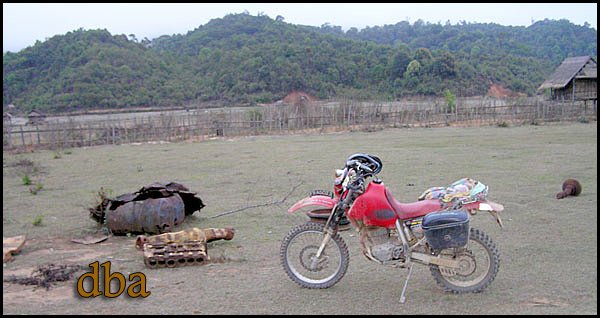
Getting over to the Lao side, the strips became even more fun. Like LS-261 noted above. It was all of 525 ft long, good enough for a Porter or Helio, even better for a helicopter.... Other places had two or even more airstrips. Xieng Lom/Hon, there in far western Sayaboury had three, the old Japanese airport left over from WW II, built when the province was part of Thailand, a nice long one that could take a C-123 built in the early 1960s, then a short Porter/Twin Otter strip right "downtown," built about 1968. Hong Sa had two, the short one is now part of the E-W road right down near the market area, the long one looks like it could still take a good sized plane, just to the south of town.
Might add that while chasing down old runways is kind of interesting, best to BE CAREFUL as some of them do have UXO scattered around. Depending on location, when a runway changed management it might become a target.... Ask the locals, follow the well worn pathways, do not wander out into the bush!
As to hen scratches, check Lao sheet NE48-13, lower right corner, there's some notes that survived the scanning. Jim had some of his own maps, another friend and I loaned him our collections so he could complete the project. He chose "clean" copies if available for the scanning, makes sense, altho the marked up ones are more "fun." I still have mine here.
Re how the maps were made, laborious I reckon, back in the 1940s-'50s, but got easier in the '60s. The U.S. Army Map Service was the main mapping agency of the USG early on. They used locally available maps, improved on them over the years, made lots of on site surveys, aerial surveys, then when satellites popped up in the sky, things got easier and more accurate. Some history here:
http://en.wikipedia.org/wiki/National_G ... nce_Agency
If anyone's passing by Future Park Rangsit, just north of Don Muang Airport, I can usually make it down for lunch, I live 25 km east of there. can haul along my box of 1:250,000s.
Mac


