From Mai Sariang you head ENE on 4044 to the upper eastern corner of Salawin National Park. Then it’s a northerly tack almost right up to the Myanmar border before the trail loops back west and southward to end at the small village outpost of Ban Huai Kong Po. You’re done with river crossings at this point and can ring out your shoes and socks from the day’s long soaking! It’s still another 10kms or so on part gravel part asphalt down to the intersection with 108.
The first 60km out of Mai Sariang is good paved road even though the map showed maybe half that as paved before becoming a mere dotted line on the map.
Essentially the route is another big loop that could be made in a full day from Mai Sariang. Or, as I did continue north to Khun Yuan.
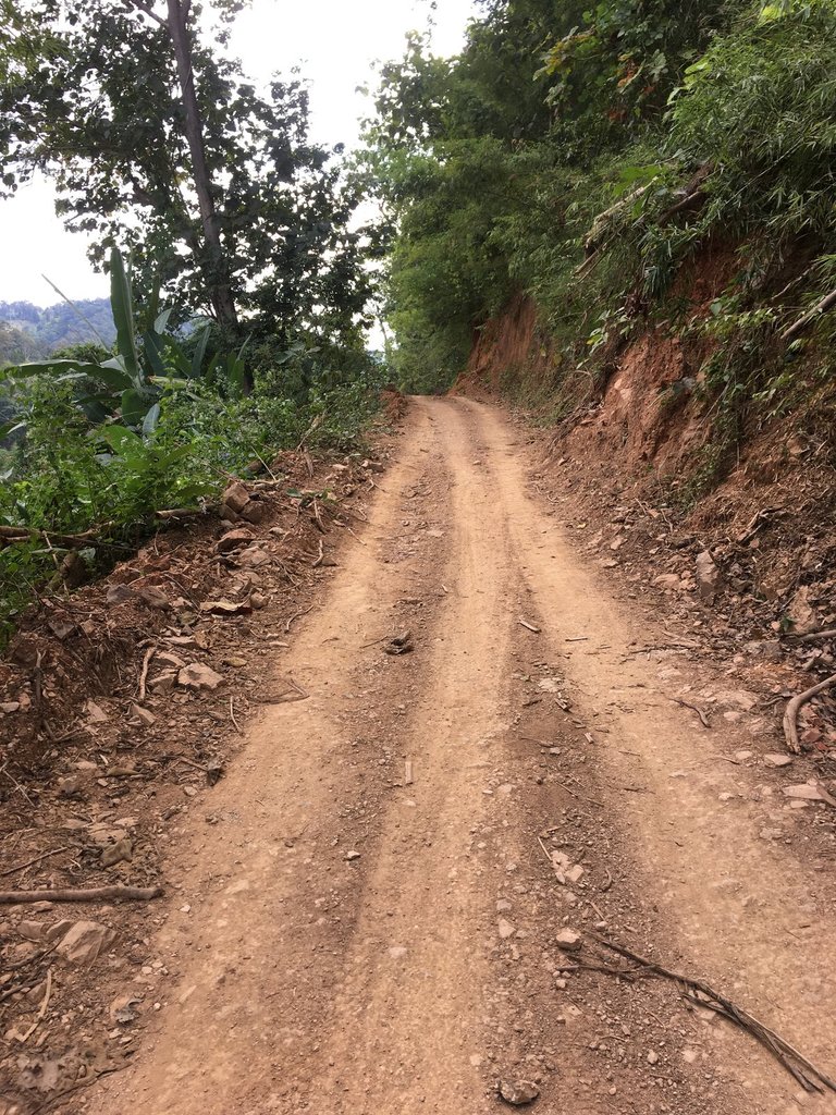
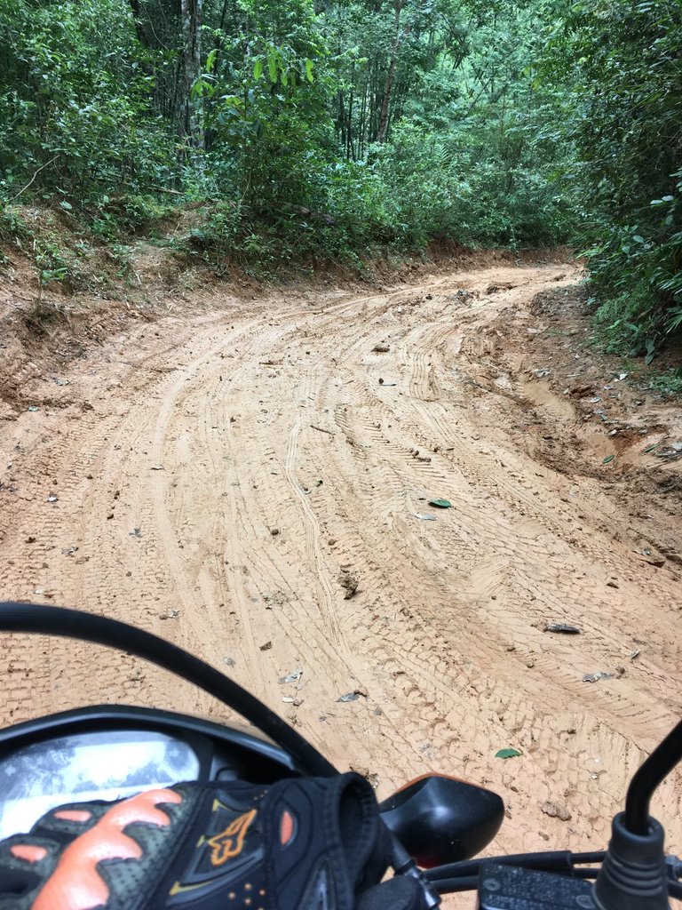
As I was beginning to think the entire ride may well be on concrete and tarmac, things looked up as I approached the tiny village of Ban Pho So. At an obvious split in the road on the outskirts of the village, the trail assumed its natural the red clay condition.
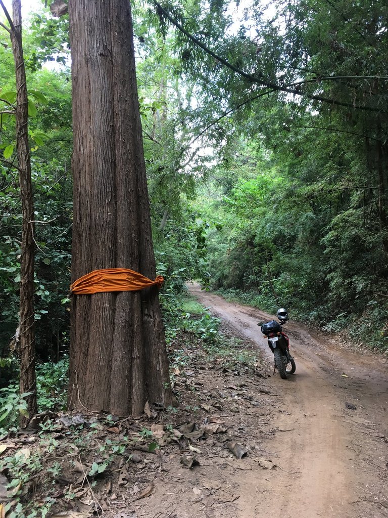
The next 60kms proved to be committing!Slow going over a grueling mix of dirt, rocks, slick mud, deep ruts, steep inclines and descents.
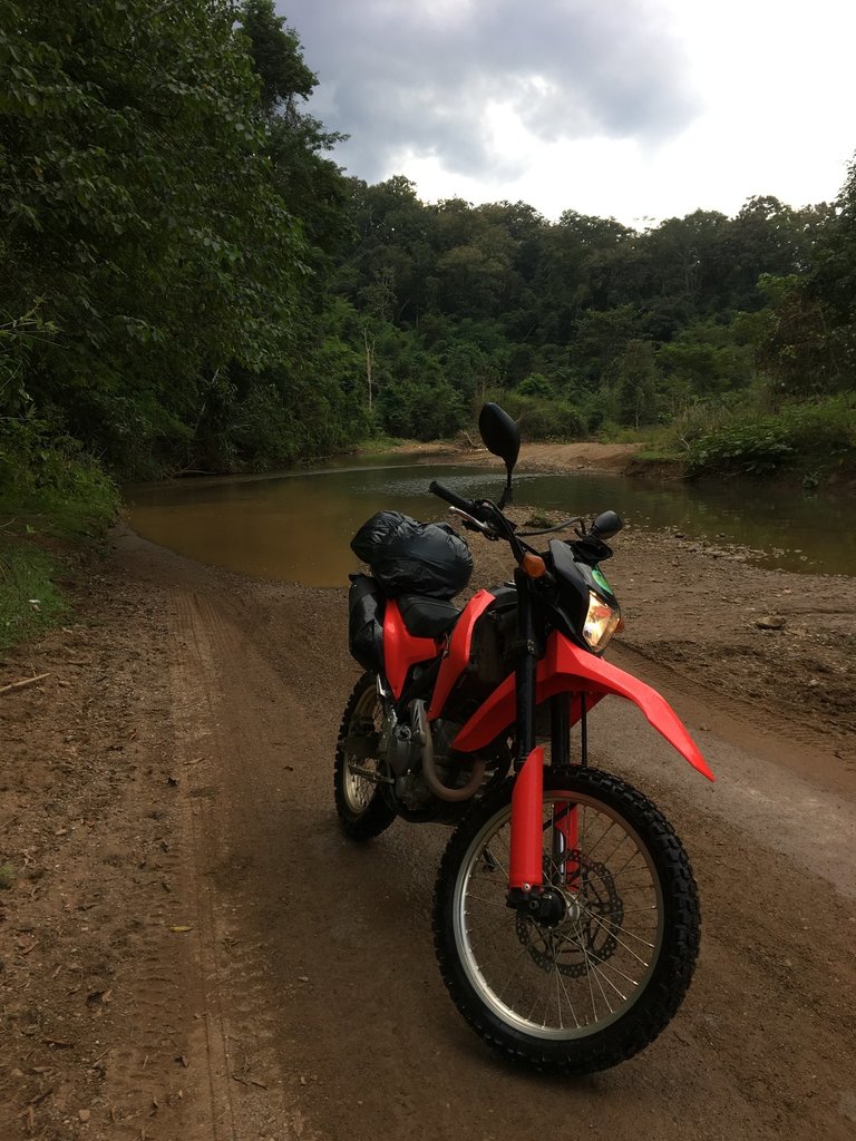
That’s just the part where you’re on terra firma. Literally the other aspect of this remote trail was the river. There were several hundred crossings and in many places you just had to drive down the river in anticipation of the next exit.
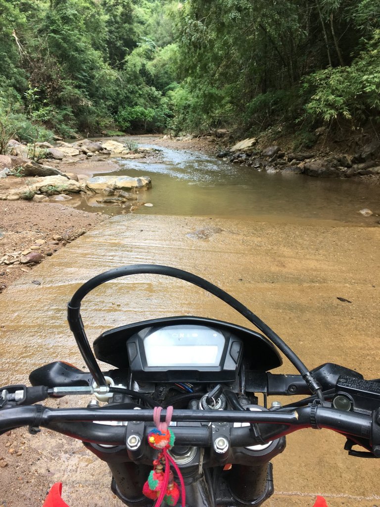
Some of the crossings are marginal, some sustained and a little deep in places.
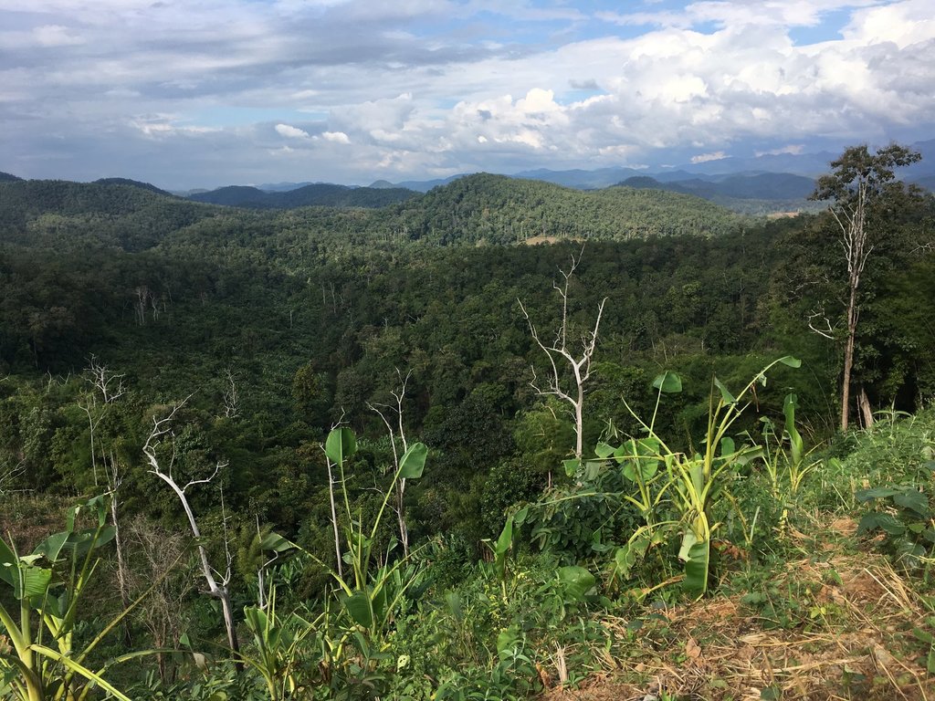
It’s scenically beautiful back here and I passed through several tiny villages throughout the course of the journey.
It was a tough, committing day and I was certainly glad to be back on solid pavement.
Got to the junction with 108 with just enough time to pull into a small restaurant and escape a downpour that had been chasing me the last 6 or 7 km down the mountain. Six hour journey total from Mai Sariang to junction of 108

The first 60km out of Mai Sariang is good paved road even though the map showed maybe half that as paved before becoming a mere dotted line on the map.
Essentially the route is another big loop that could be made in a full day from Mai Sariang. Or, as I did continue north to Khun Yuan.
As I was beginning to think the entire ride may well be on concrete and tarmac, things looked up as I approached the tiny village of Ban Pho So. At an obvious split in the road on the outskirts of the village, the trail assumed its natural the red clay condition.

The next 60kms proved to be committing!Slow going over a grueling mix of dirt, rocks, slick mud, deep ruts, steep inclines and descents.

That’s just the part where you’re on terra firma. Literally the other aspect of this remote trail was the river. There were several hundred crossings and in many places you just had to drive down the river in anticipation of the next exit.

Some of the crossings are marginal, some sustained and a little deep in places.
It’s scenically beautiful back here and I passed through several tiny villages throughout the course of the journey.

It was a tough, committing day and I was certainly glad to be back on solid pavement.

Got to the junction with 108 with just enough time to pull into a small restaurant and escape a downpour that had been chasing me the last 6 or 7 km down the mountain. Six hour journey total from Mai Sariang to junction of 108
Last edited:

