Captain_Slash
Community Manager
- Joined
- Jun 28, 2011
- Bikes
- BMW 310GS Honda Wave 125 Honda MSX 125
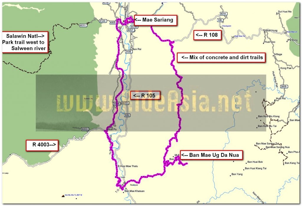
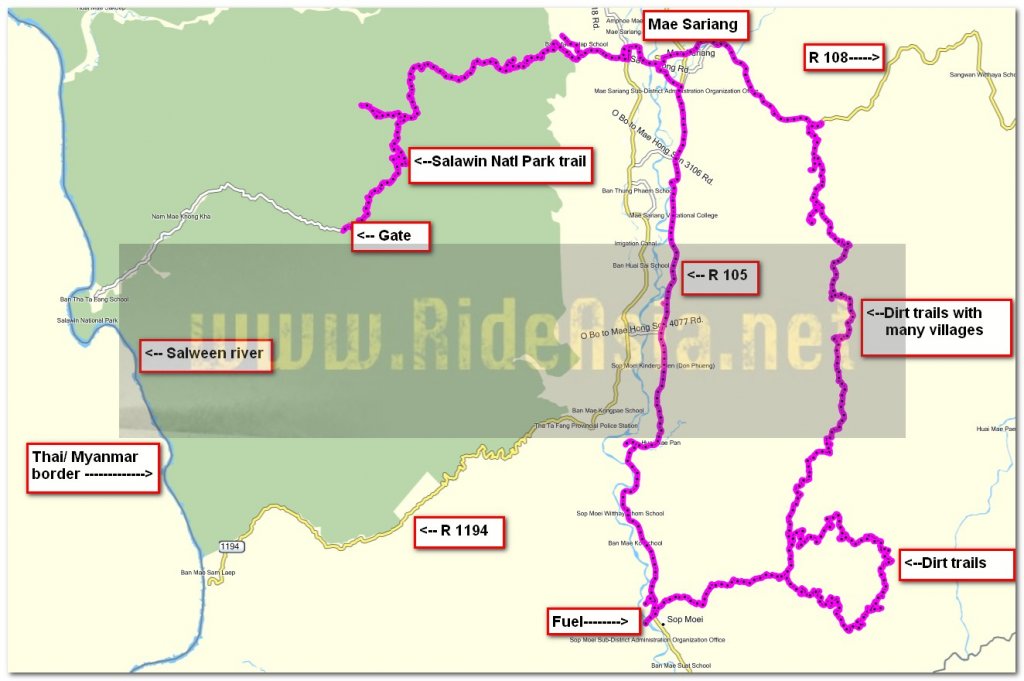
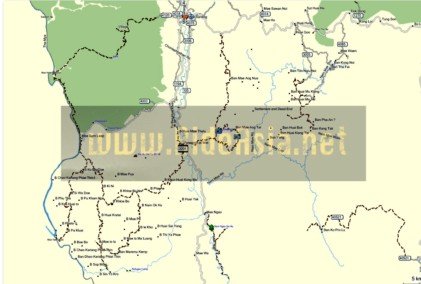
The route 1194, 108
Total distance 106 km

The first thing I noticed this morning was my number plate was hanging very loose as one of the nuts had worked loose and fallen off.
A quick visit to the Castrol Bike Point and it was fixed, but not before I was charged the extortionate sum of 5 Baht for them to fix it.
A great service from these people every time whether its for oil, tyres or other fixes that are required

Now out on the 1194 to explore some new roads


I take a left to try out a road that should bring me out at the bridge in Sop Moei


Riding along the Mae Yuam for most of the way

The surface turns to unpaved at N18.00.723 E097.54.572 and then these guys come along


Its a pleasant scenic route


After a while there is a concrete section then more unpaved followed by a bit of asphalt, a bit of what was possibly once asphalt and a bit of what has probably never been paved so I guess this needs to be designated an unpaved track from the waypoint


An absolute monster Richard III there and these guys are giving it a very wide berth too, probably a wise decision as I wouldnt fancy the bikes chances if it hits that


I reckon even the KLX could have struggled getting through that one


The bridge at Sop Moei and I reach the proper paved surface at N17.57.824 E097.55.431


Some kids enjoying a dip in the Mae Yuam

I ride across the bridge and upon reaching the 105 go straight across it to explore more new territory for me and its a paved surface to start with

Then comes a short 0.7 km unpaved bit from N17.58.327 E097.56.315 to N17.58.185 E097.56.751

Back on a lovely twisty asphalt bit now


At N17.58.677 E097.58.283 the surface returns to unpaved but its easy going

A choice of routes now, right appears to be a dead end at a village and so I take the left


At N.17.59.333 E097.59.173 the surface is now concrete and a choice of routes, I take the right signposted to Ban Mae-Oag-Tai

While I am stopped these two come along and stop beside me

No fear of the bird escaping


The concrete finishes at N17.59.646 E097.59.325 and from here on its an alternating surface that I dont bother recording as even some of the concrete section is very rough


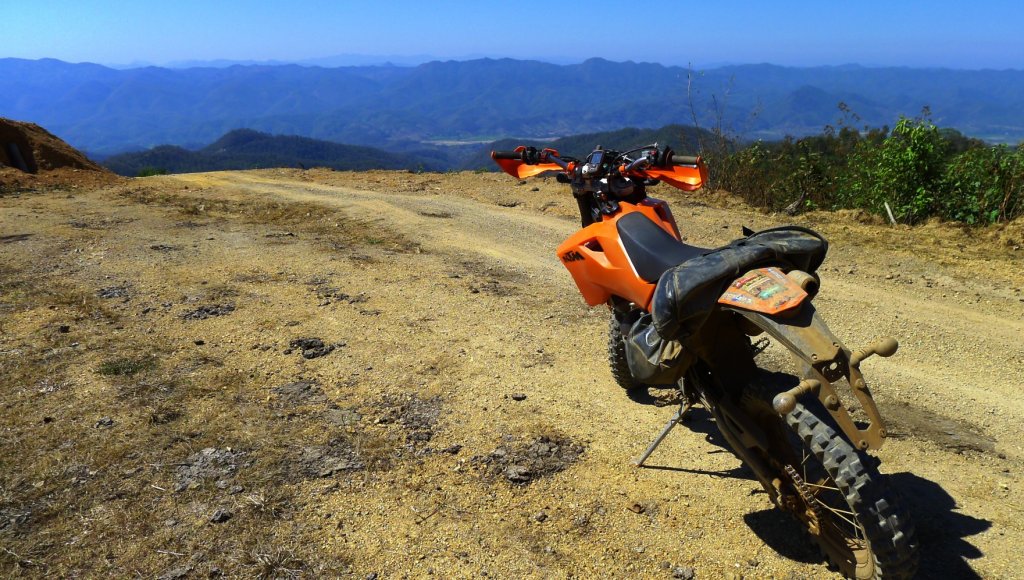
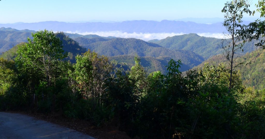
Brilliant scenery and its a shame that the sky isnt clear to really appreciate it more


I reach Ban Mae-Oag-Tai


I dont know if this has just arrived or is about to leave


The truck carrying the wardrobes left just before me and I managed to get past it on a straight concrete section, I stopped for photos on the way back and was surprised at how good a progress the truck made


I get back to the junction and turn right and now the sign says Ban Mae -Oag-Nuea, its a good concrete surface until N18.01.280 E097.59.810 then it turns to dirt and stays that way until I reach the 108 apart from a few short concrete bits on steep hills

In the village and here I am told no fuel


Heading north and lots of choices but fortunately today the ESRI has these tracks on it so navigating the right way is easy

Finding the correct track is the easy part but the track has now become steep, rutted and rocky and care is needed on this part


I ride through another village at N.18.03.931 E098.00.694 and here they have fuel


Stopped for a photo and suddenly I am not alone


Nearing the 108 and a shallow water crossing


A bit further on and another one


This is where it comes out on the 108 and the end of todays new tracks

Eat your heart out Kevin

Chicken steak, fries, and onions for 200 Baht at the Sawaddee
You can get the gdb file from my website here … http://www.captainslash.com
Total distance 106 km

The first thing I noticed this morning was my number plate was hanging very loose as one of the nuts had worked loose and fallen off.
A quick visit to the Castrol Bike Point and it was fixed, but not before I was charged the extortionate sum of 5 Baht for them to fix it.
A great service from these people every time whether its for oil, tyres or other fixes that are required

Now out on the 1194 to explore some new roads


I take a left to try out a road that should bring me out at the bridge in Sop Moei


Riding along the Mae Yuam for most of the way

The surface turns to unpaved at N18.00.723 E097.54.572 and then these guys come along


Its a pleasant scenic route


After a while there is a concrete section then more unpaved followed by a bit of asphalt, a bit of what was possibly once asphalt and a bit of what has probably never been paved so I guess this needs to be designated an unpaved track from the waypoint


An absolute monster Richard III there and these guys are giving it a very wide berth too, probably a wise decision as I wouldnt fancy the bikes chances if it hits that


I reckon even the KLX could have struggled getting through that one


The bridge at Sop Moei and I reach the proper paved surface at N17.57.824 E097.55.431


Some kids enjoying a dip in the Mae Yuam

I ride across the bridge and upon reaching the 105 go straight across it to explore more new territory for me and its a paved surface to start with

Then comes a short 0.7 km unpaved bit from N17.58.327 E097.56.315 to N17.58.185 E097.56.751

Back on a lovely twisty asphalt bit now


At N17.58.677 E097.58.283 the surface returns to unpaved but its easy going

A choice of routes now, right appears to be a dead end at a village and so I take the left


At N.17.59.333 E097.59.173 the surface is now concrete and a choice of routes, I take the right signposted to Ban Mae-Oag-Tai

While I am stopped these two come along and stop beside me

No fear of the bird escaping


The concrete finishes at N17.59.646 E097.59.325 and from here on its an alternating surface that I dont bother recording as even some of the concrete section is very rough


Brilliant scenery and its a shame that the sky isnt clear to really appreciate it more


I reach Ban Mae-Oag-Tai


I dont know if this has just arrived or is about to leave


The truck carrying the wardrobes left just before me and I managed to get past it on a straight concrete section, I stopped for photos on the way back and was surprised at how good a progress the truck made


I get back to the junction and turn right and now the sign says Ban Mae -Oag-Nuea, its a good concrete surface until N18.01.280 E097.59.810 then it turns to dirt and stays that way until I reach the 108 apart from a few short concrete bits on steep hills

In the village and here I am told no fuel


Heading north and lots of choices but fortunately today the ESRI has these tracks on it so navigating the right way is easy

Finding the correct track is the easy part but the track has now become steep, rutted and rocky and care is needed on this part


I ride through another village at N.18.03.931 E098.00.694 and here they have fuel


Stopped for a photo and suddenly I am not alone


Nearing the 108 and a shallow water crossing


A bit further on and another one


This is where it comes out on the 108 and the end of todays new tracks

Eat your heart out Kevin

Chicken steak, fries, and onions for 200 Baht at the Sawaddee
You can get the gdb file from my website here … http://www.captainslash.com


