bsacbob
Administrator (Retired)
- Joined
- Jul 1, 2012
- Location
- Chiang Rai
- Bikes
- Honda CRM-AR 250, Honda CRF 250-L, Suzuki V Strom XT 650 Honda XR250 Baja BMW F650GS
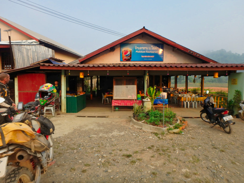
After all the comings and goings during the night it was an early start and breakfast at the Maikam where we had a great dinner earlier.
N19.19685° E102.23759°
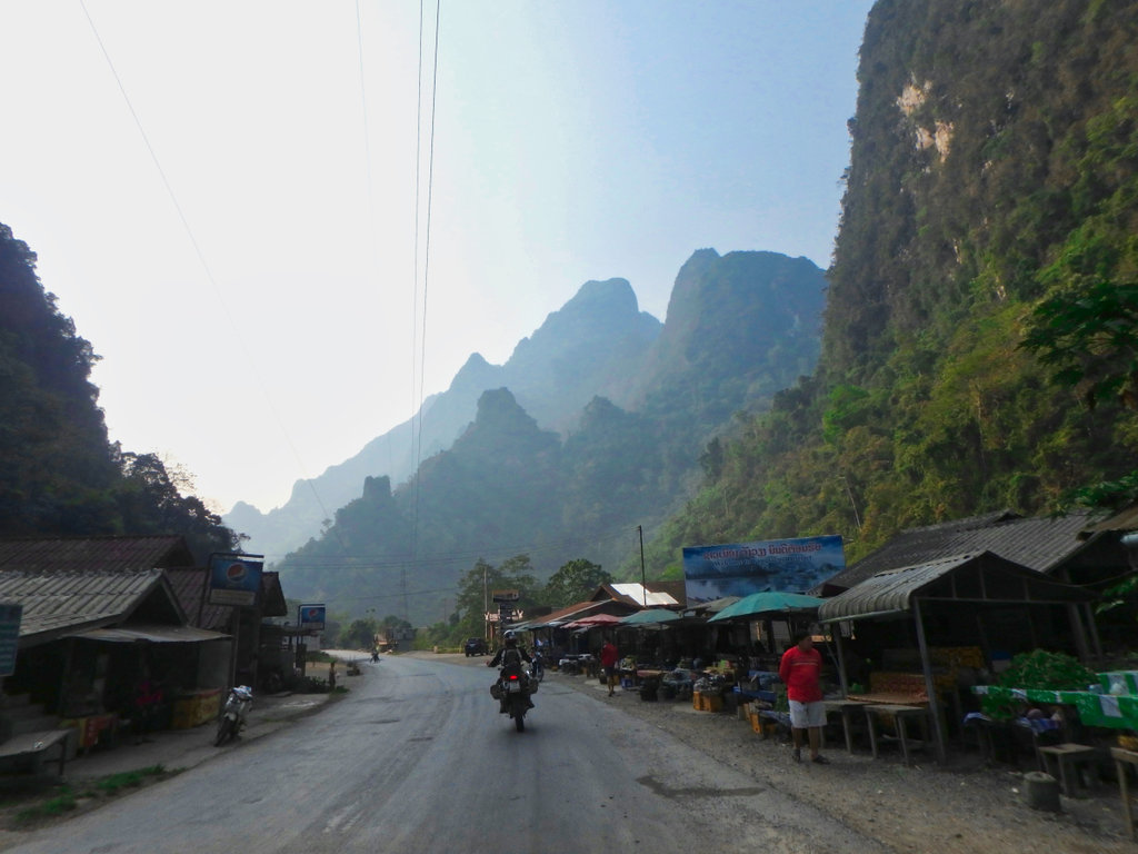
Fortunately we didn't have to spend too much time on the 13N, it's as slick as ever
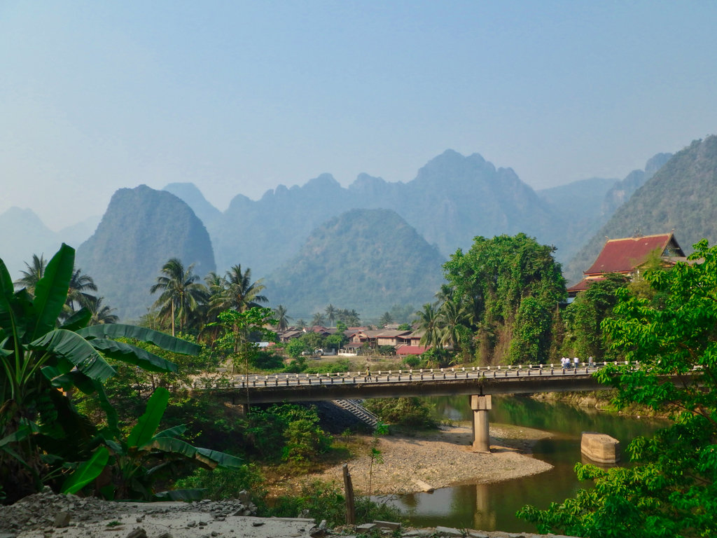
Soon making the turn onto the dirt at N19.07766° E102.43050° nice view of the bridge over the 13N and remnants of the old bridge supports.
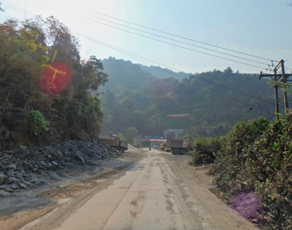
We had already passed several signs of the new railway construction carving its way through Laos, progress of sorts.
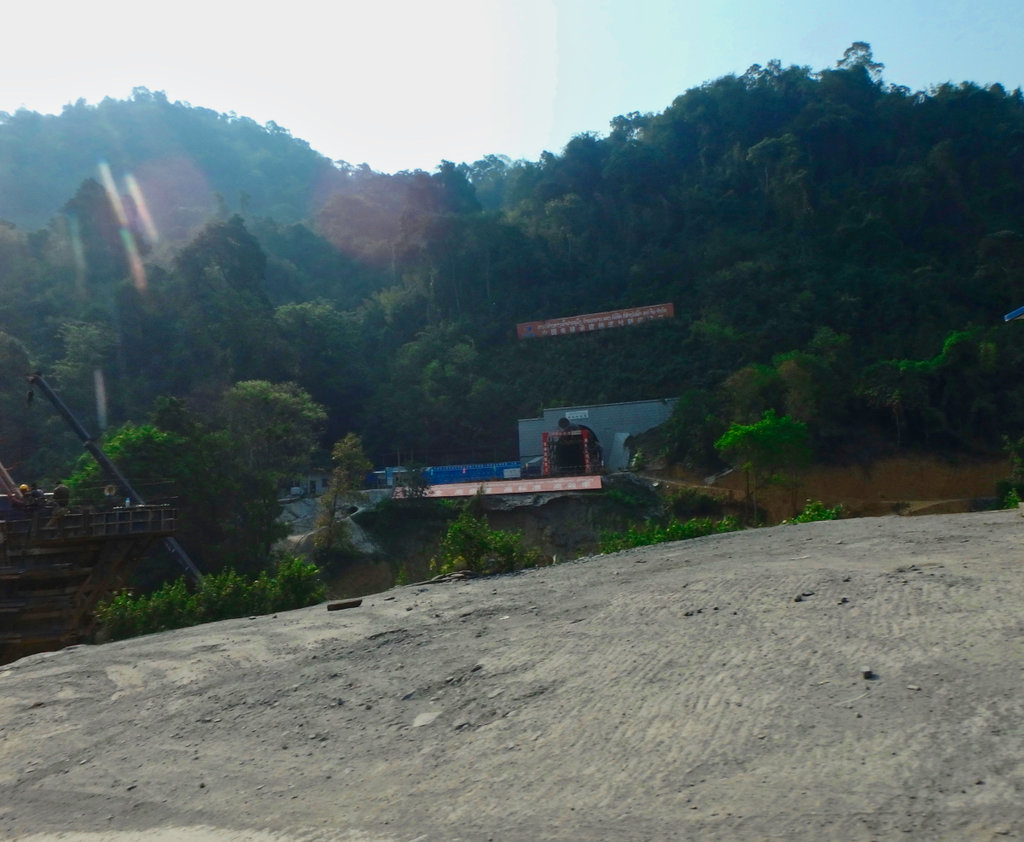
One of the hundreds of tunnels.
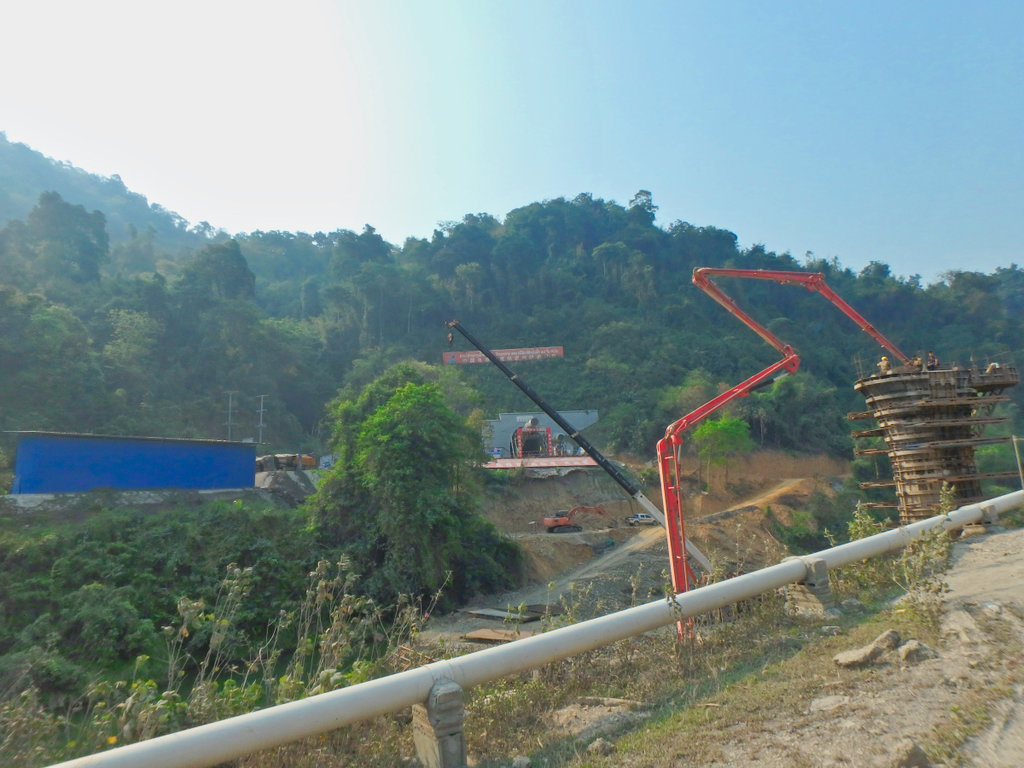
Concrete pump busy at work forming one of the rail lines supports, this process being recreated hundreds of times gives some idea of the scale of the project.
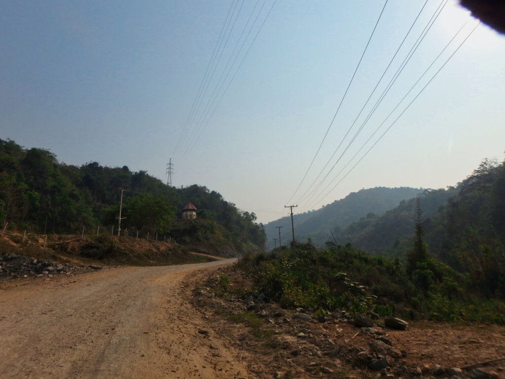
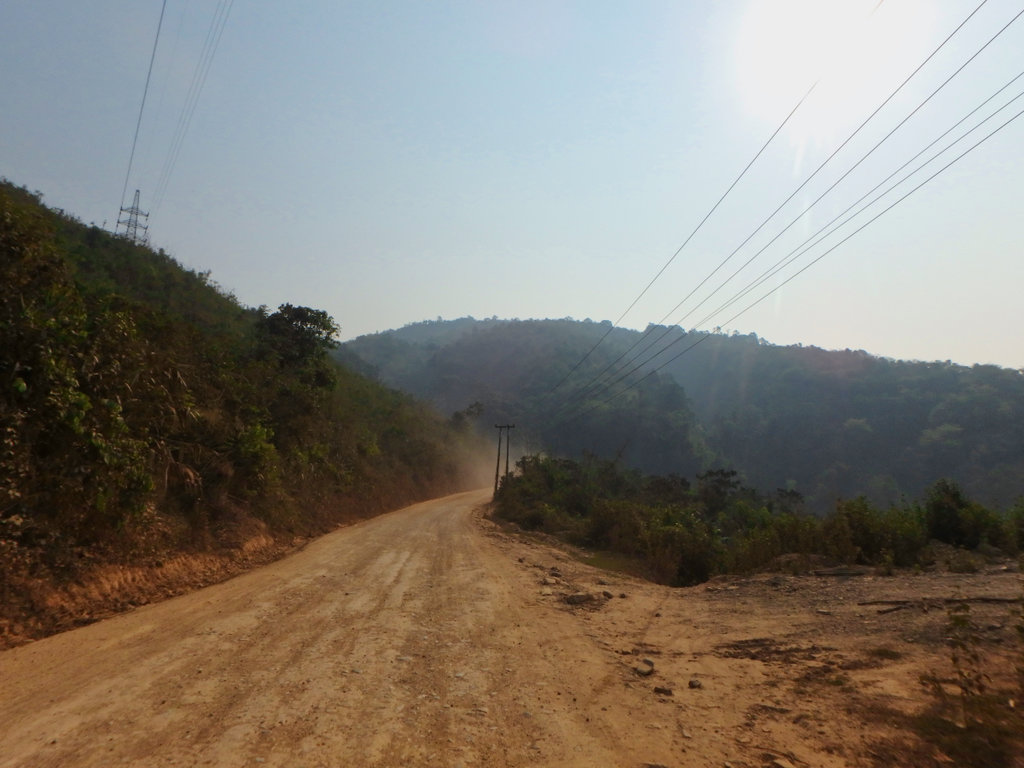
Once passed the construction works, life settled back to the normal simple Laos style.
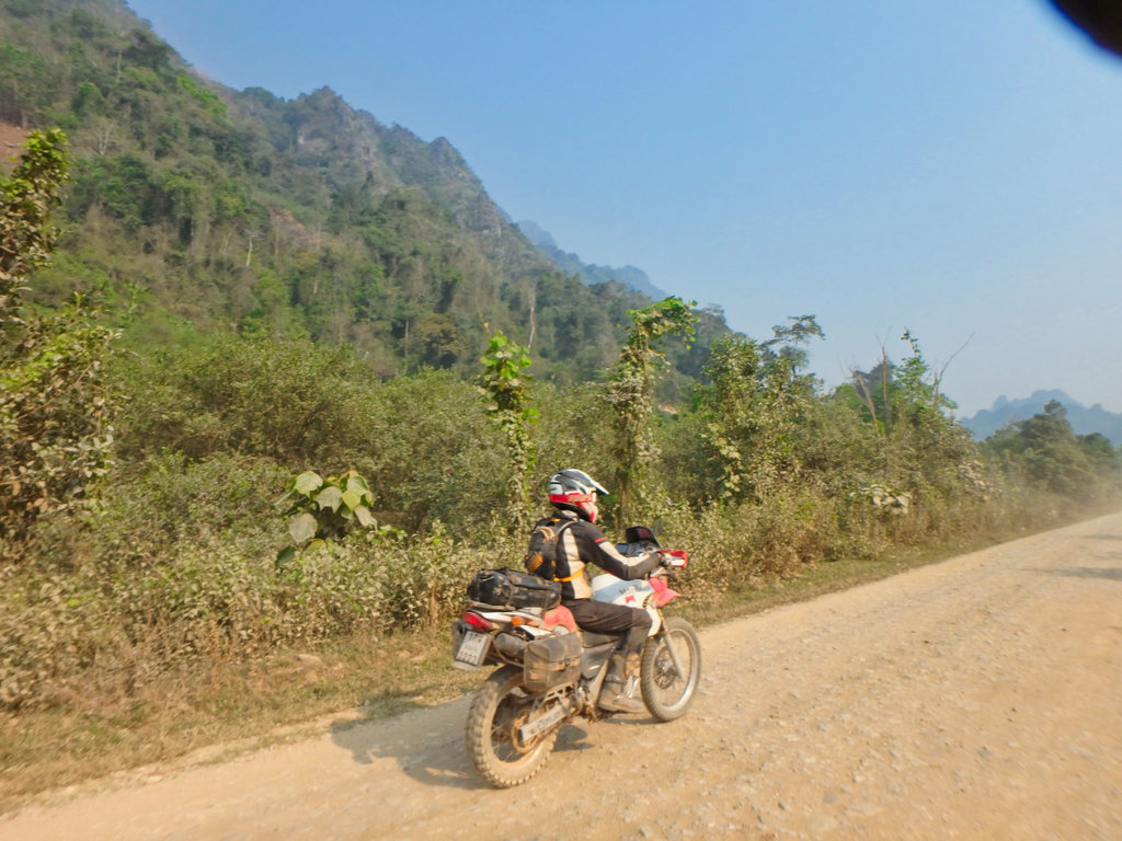
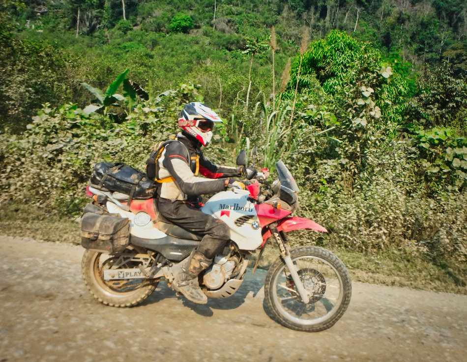
Nick's bike looking a wee bit shabbier than a few days back.
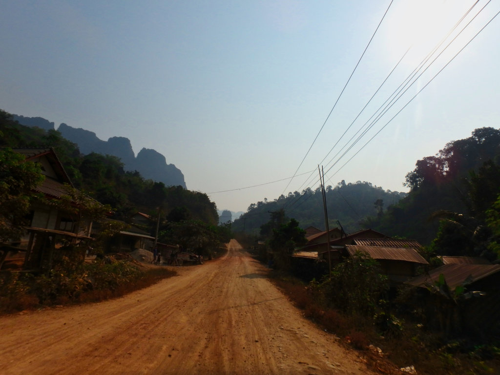
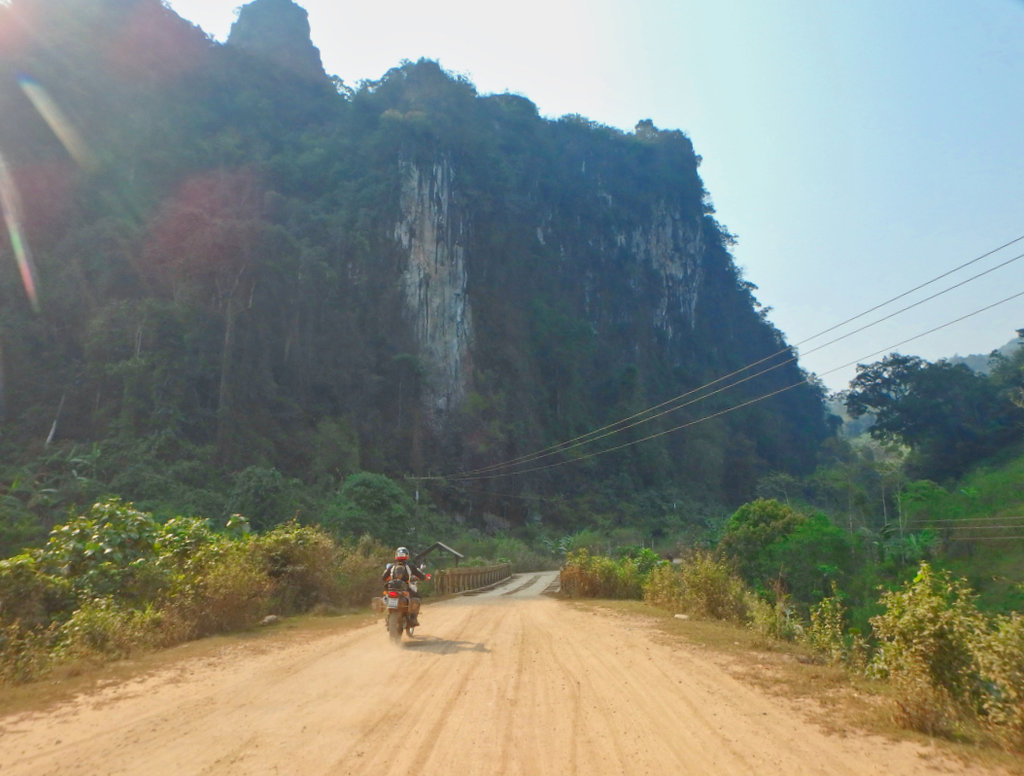
Many of the villages we passed are slowly being abandoned, maybe future plans for a new dam project in the pipeline.
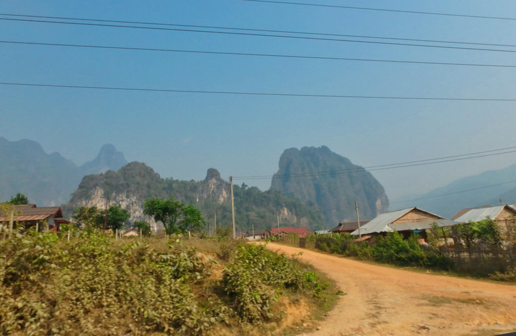
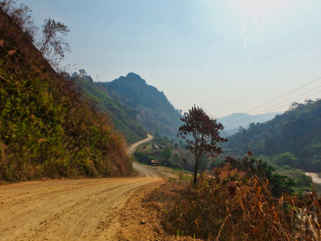
We stopped for a drink, the villagers looked a little surprised to see us asked where we headed, our answer leaving them puzzled.
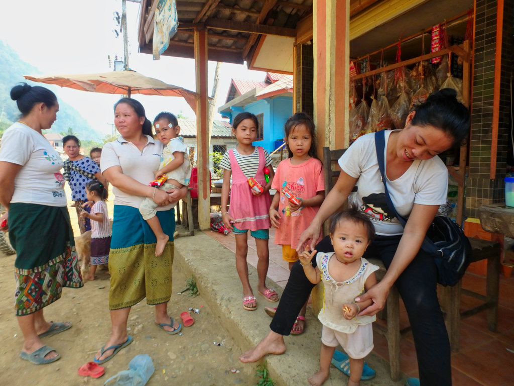
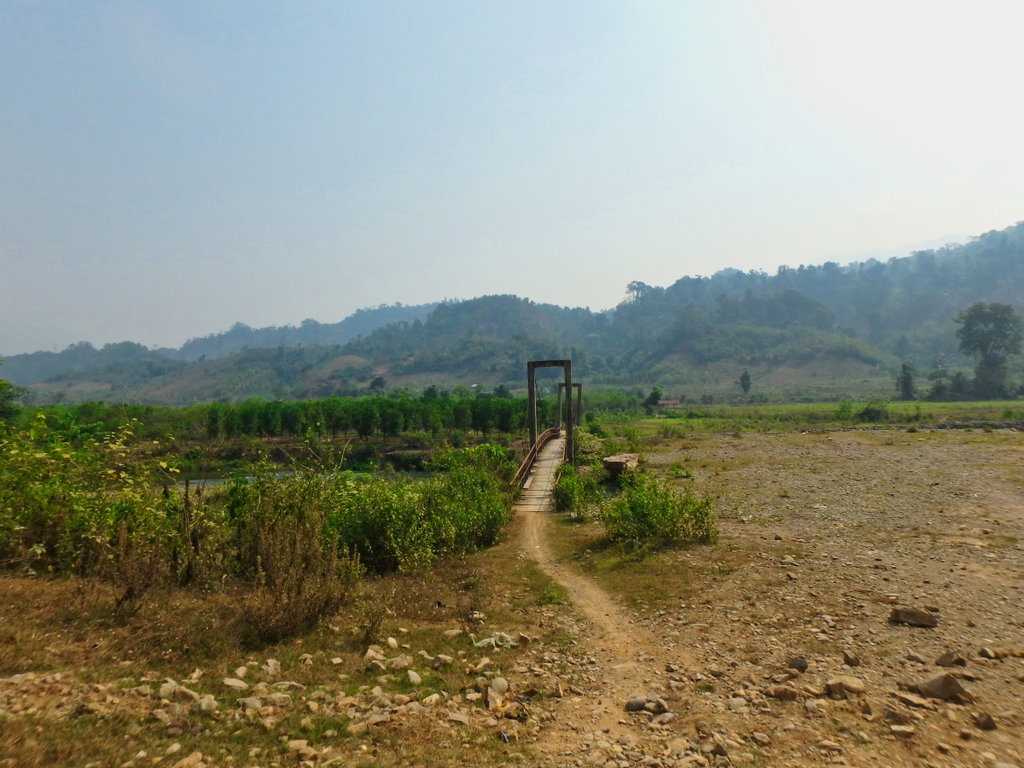
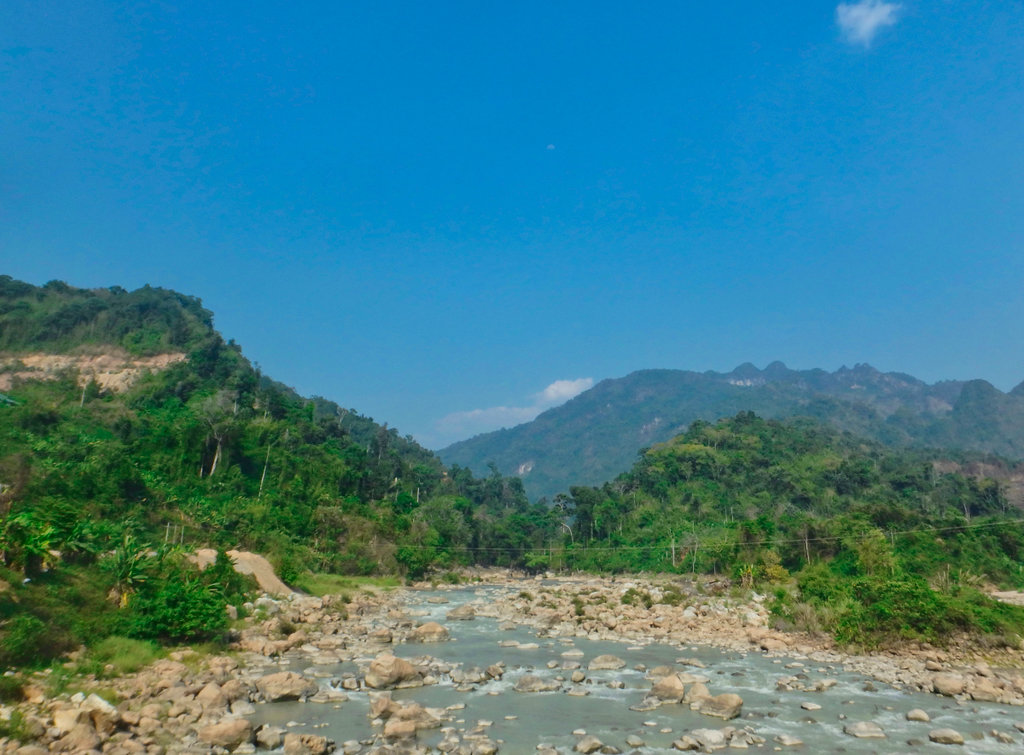
The trail used to cross here, the bridge now in disrepair.
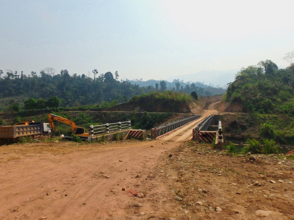
A newer bridge a few km upstream.
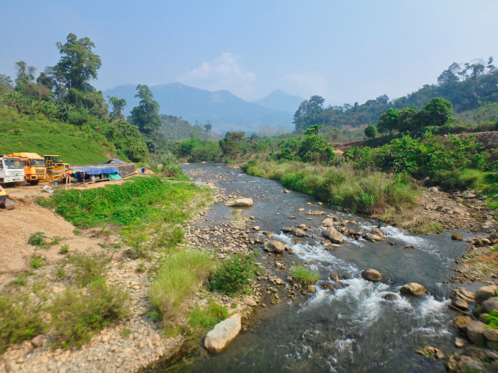
Construction workers camp, although little actual construction going on.
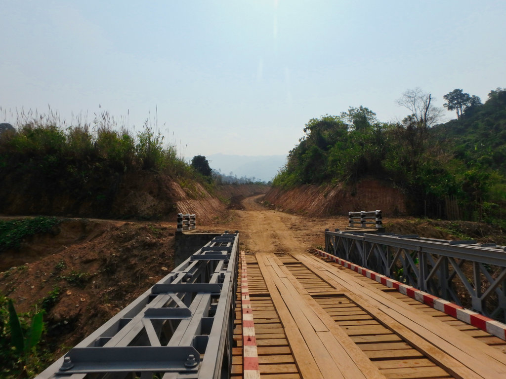
From this point, we saw no traffic at all although a huge amount of money had been invested in opening the road.
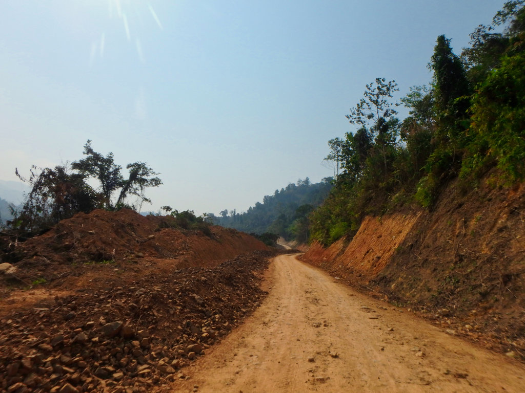
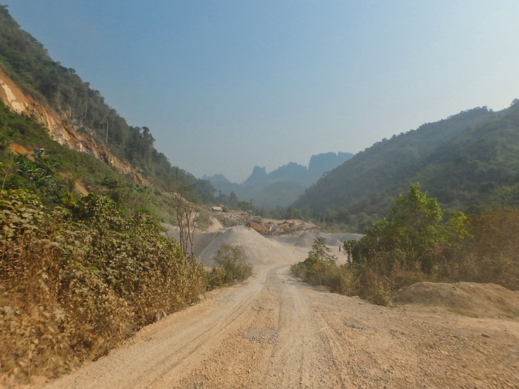
Piles of gravel waiting to be compacted.

Freshley graded at this point.
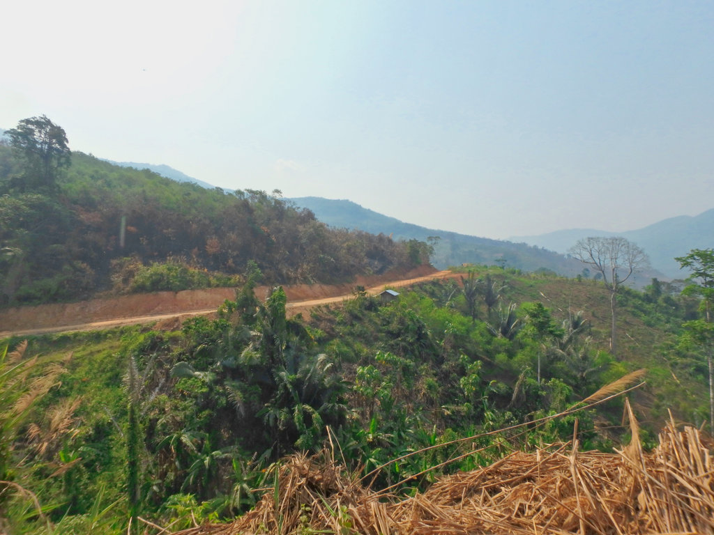
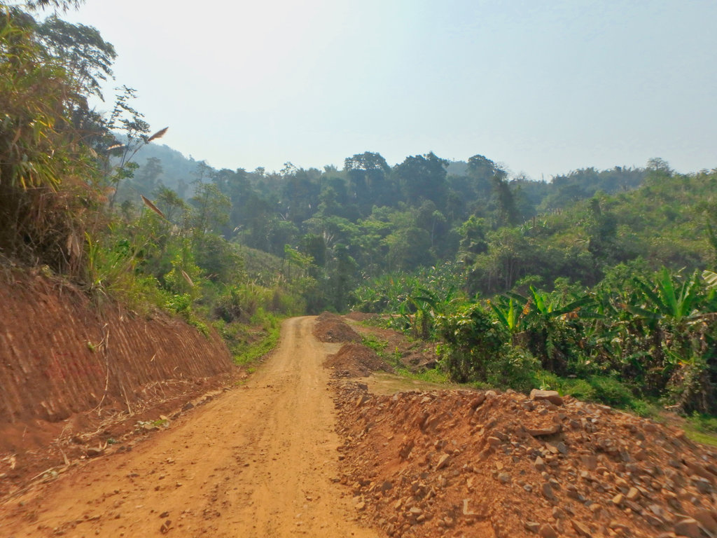
It started to become clear this was another white elephant project, likely never to be completed.
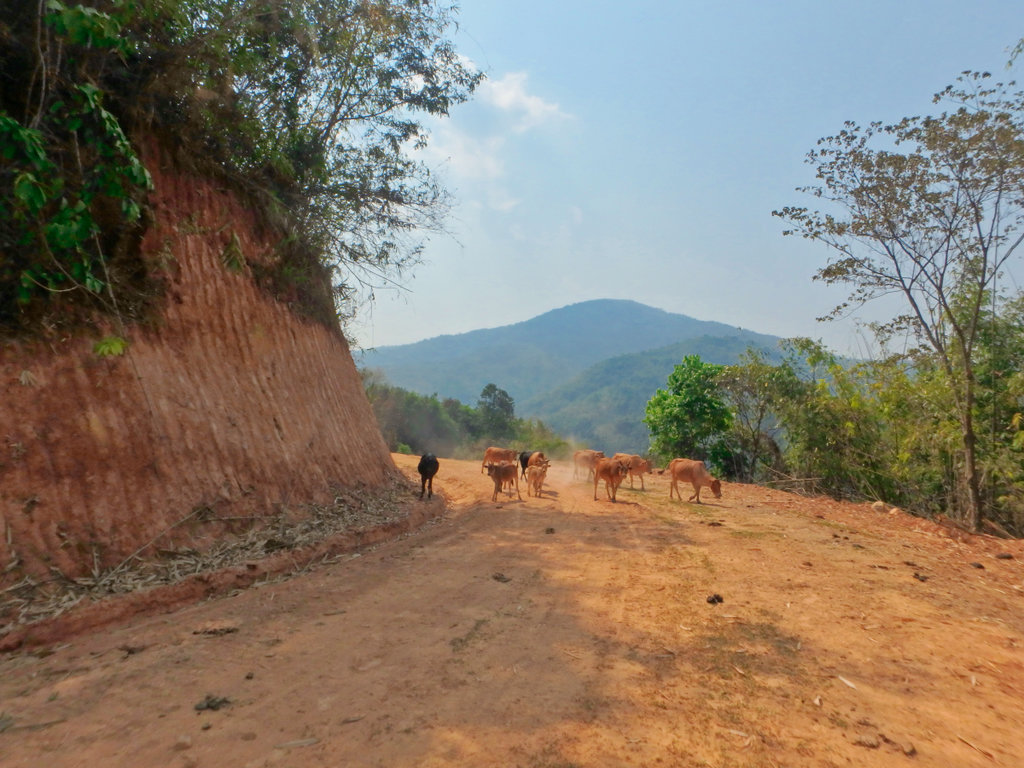
Previous grading work now being taken back by nature.
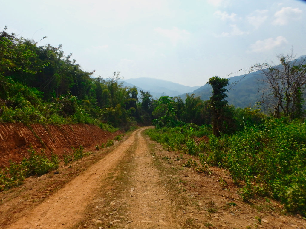
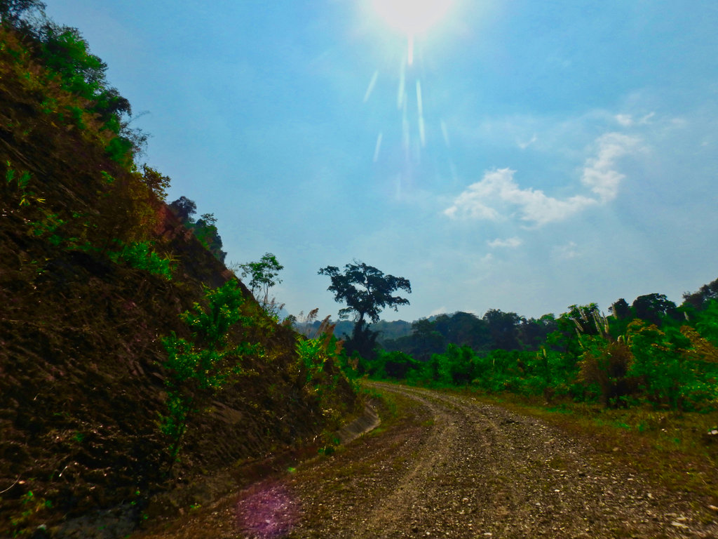
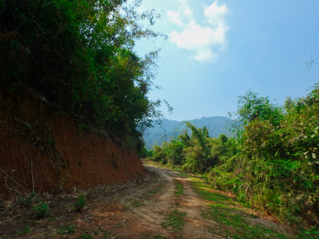
Huge waste of funding.
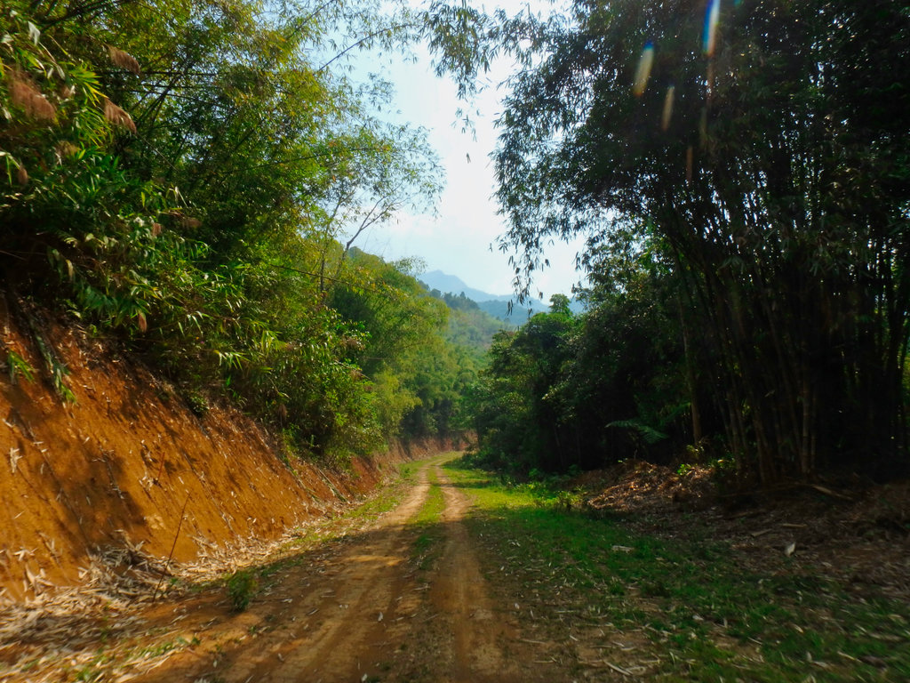
This climb was interesting, a stream passed across the roadway bringing with it piles of rocks.
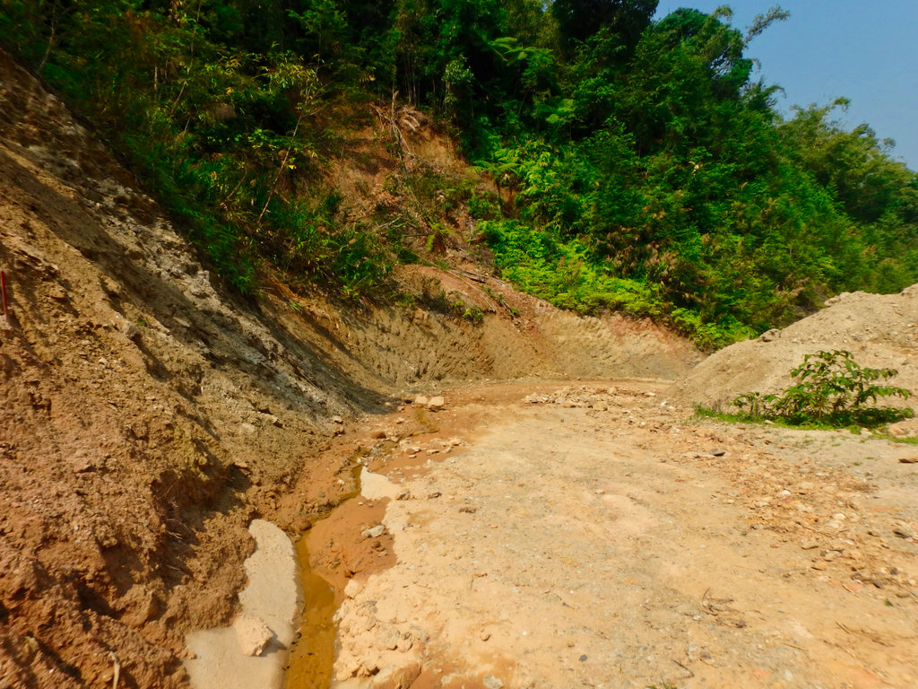
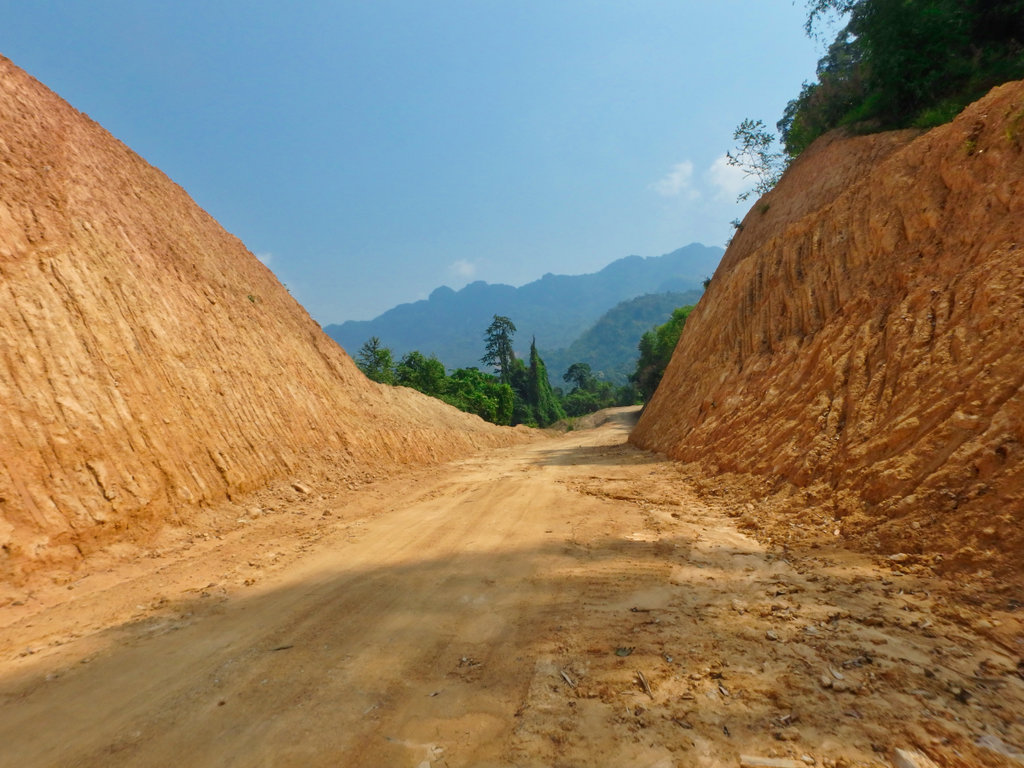
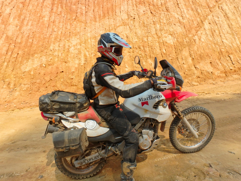
Now it turned into simple double track.
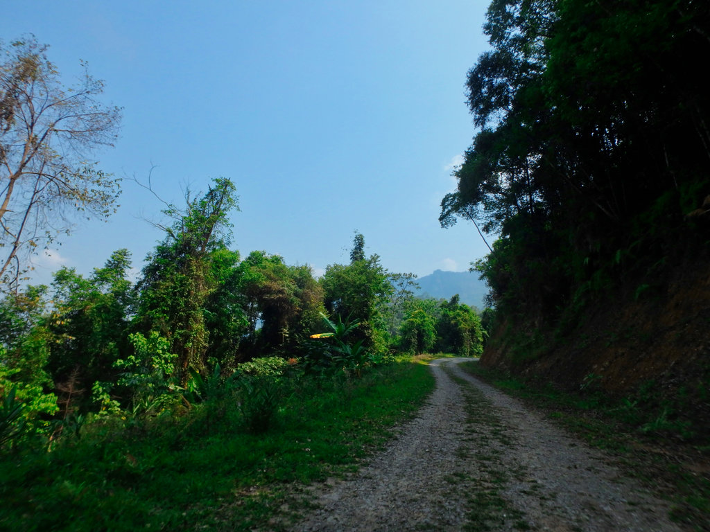
Ban Homxai now abandoned N19.10553° E102.67187°
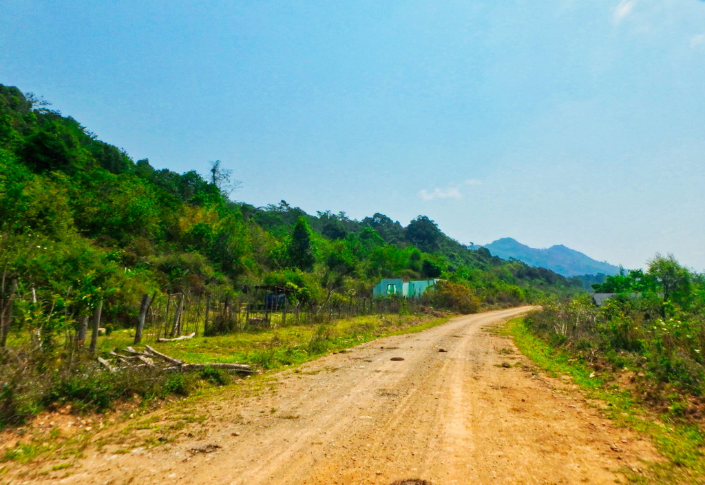
A km back there was a new unmapped road, a farmer passed a told us we should go straight, this was a huge mistake as we would find out later.
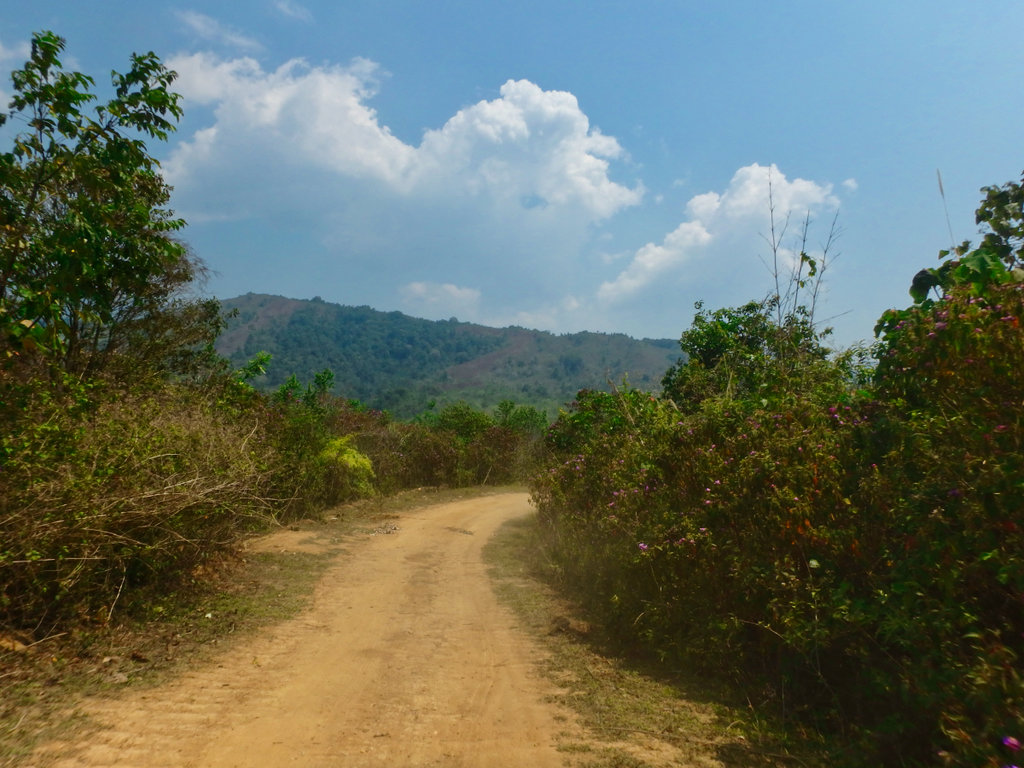
A little further along with another split, another new road to my left and the trail i had ridden before dead ahead, by now the farmer caught us up and told us we should go left .
.
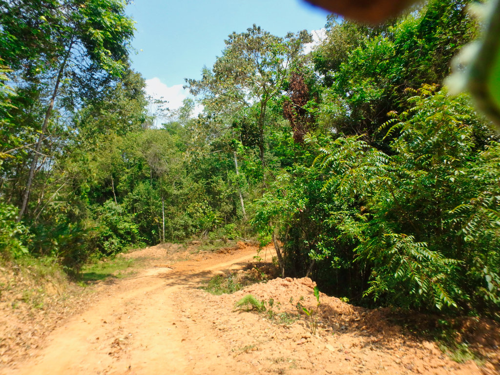
A nice newly formed double track through the mountains, we followed him for a while as we gained elevation.
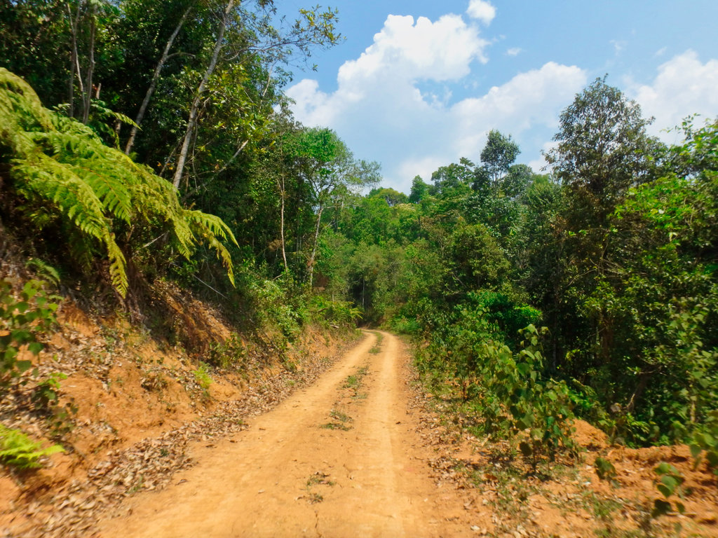
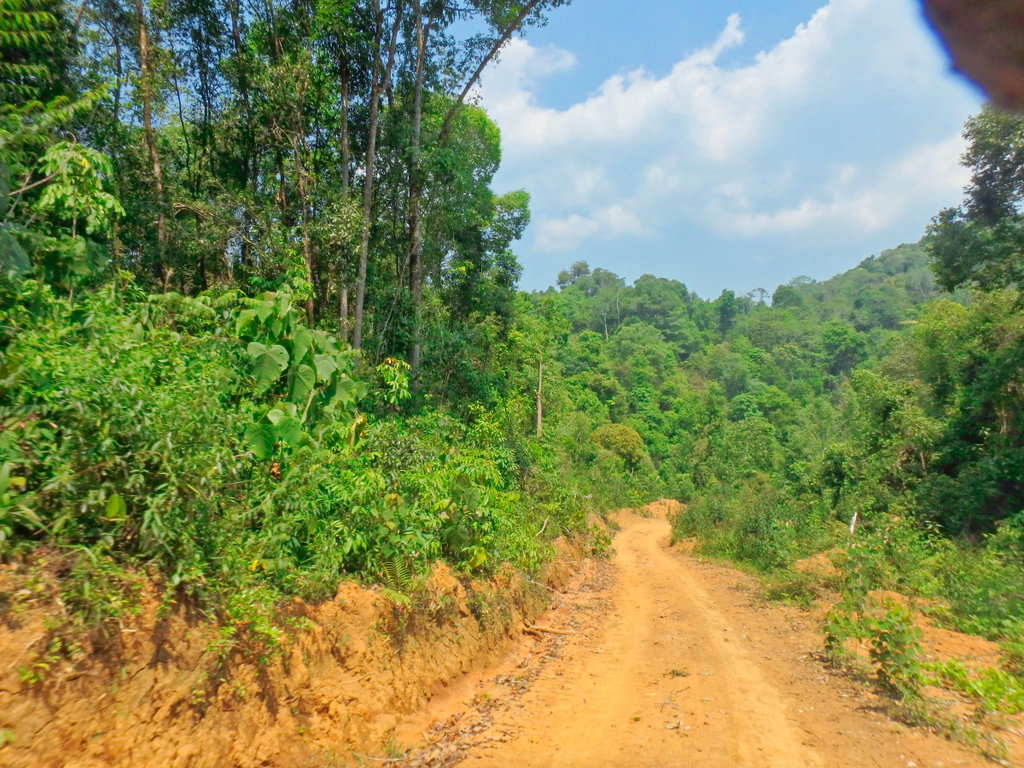
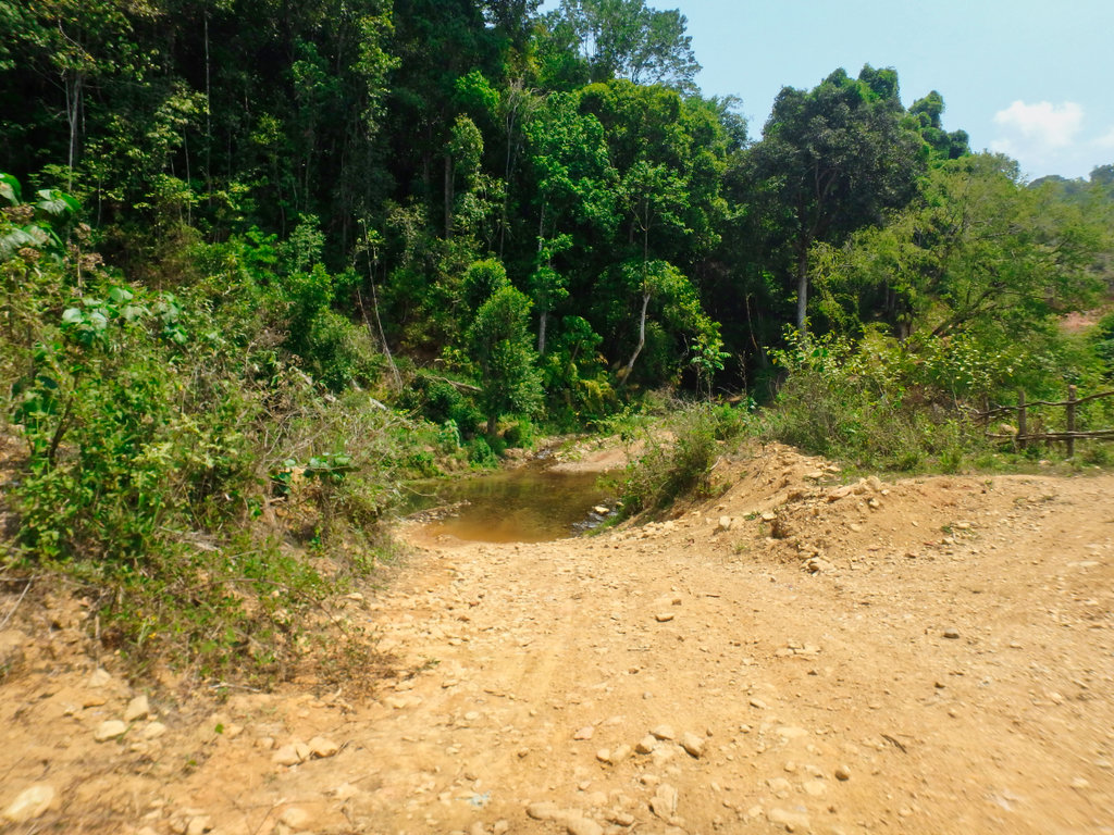
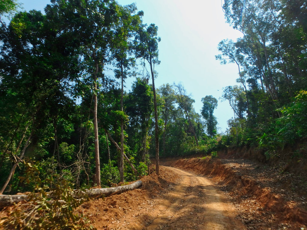
All good so far it was nice to be in the shade of the trees.
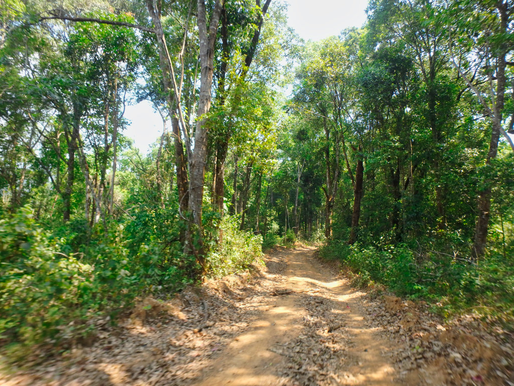
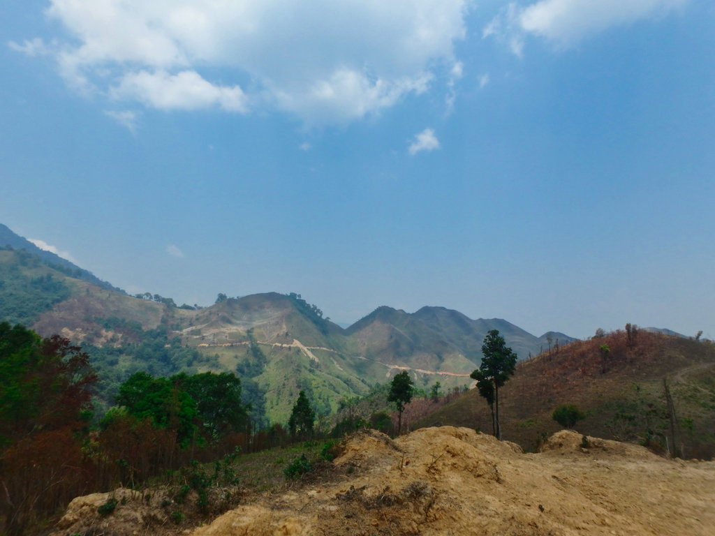
Stopping several times trying to figure where this new road may go too as we could see it snaked its way around the mountains.
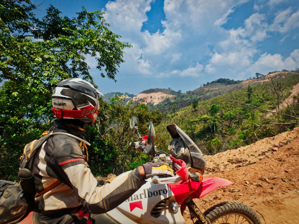
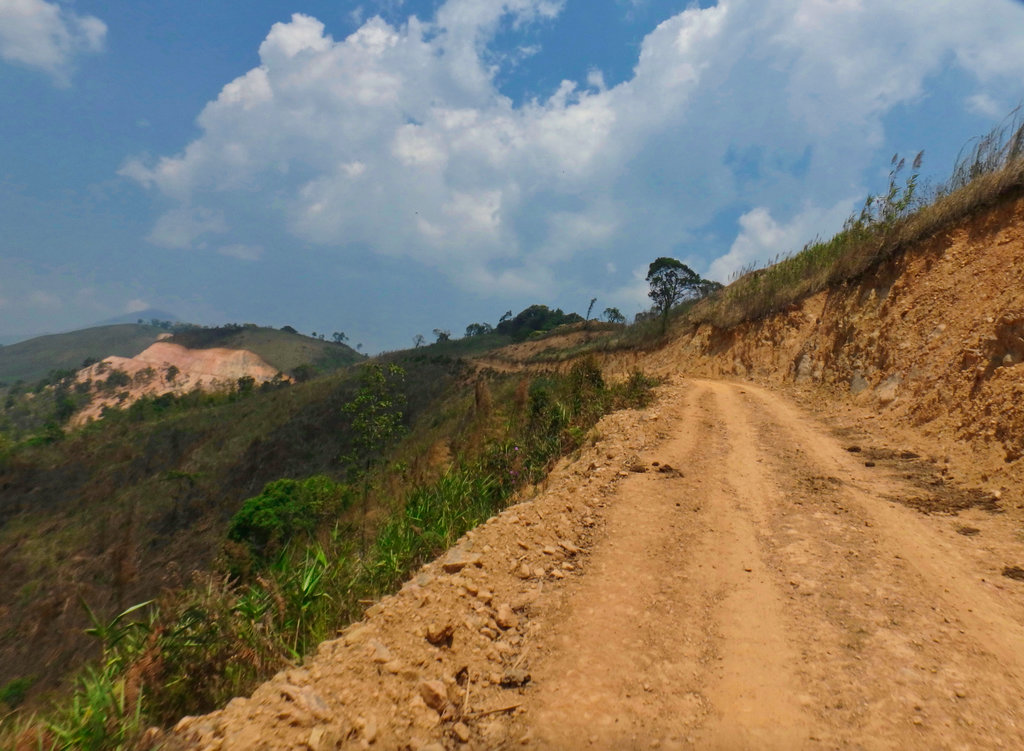
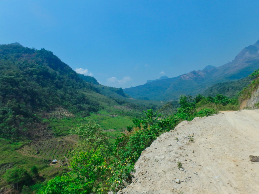
Nice clear air up here and some great views, the road kept heading in a northerly direction, I considered it may be heading to Nam Ngum 3 and to Long Cheng.
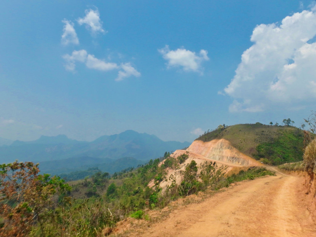
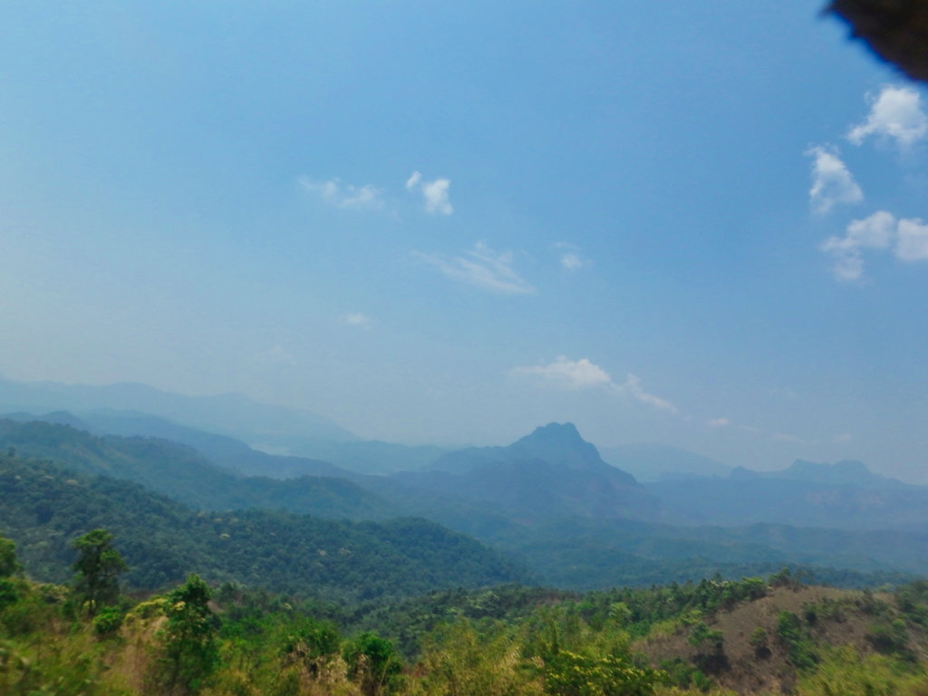
A small makeshift barrier ahead was open.
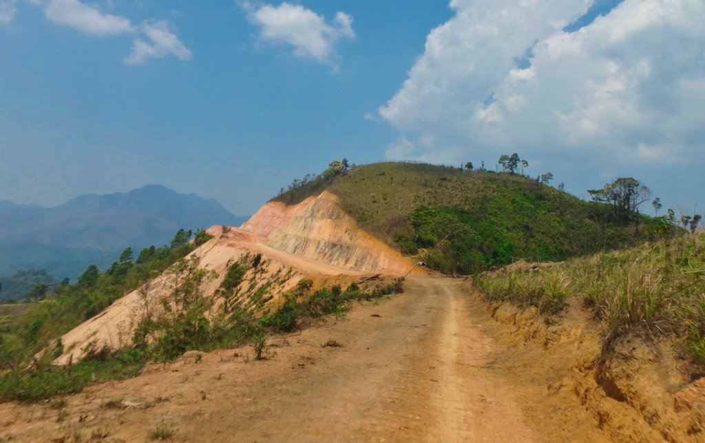
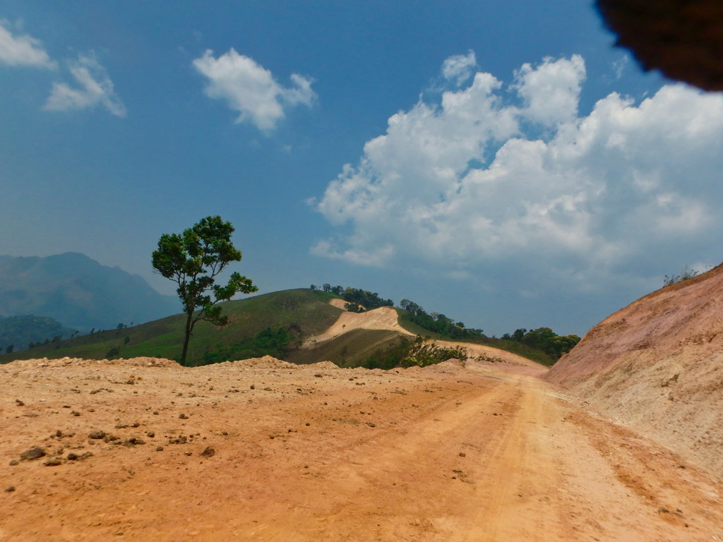
We passed a couple of guys on motorbikes and asked where the road went too, they said nowhere but we could plainly see the road snaking of for several km, so undeterd we pressed on hoping it would take a huge corner out of the ride.
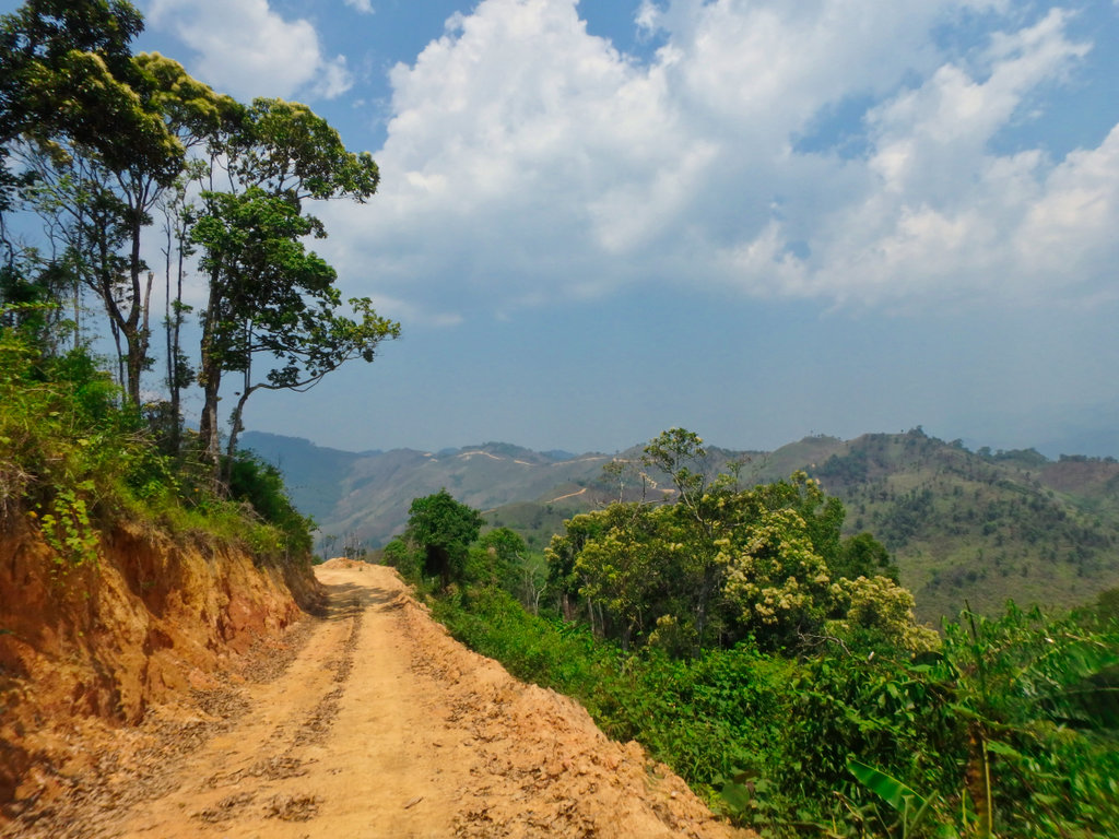
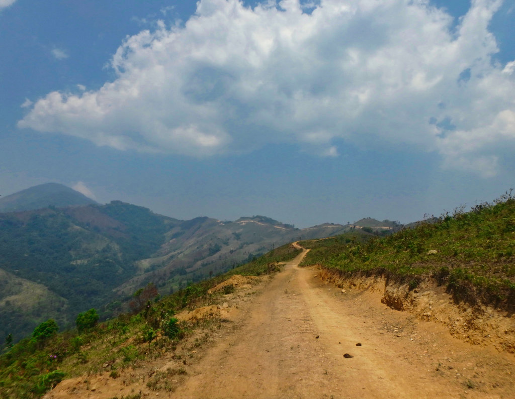
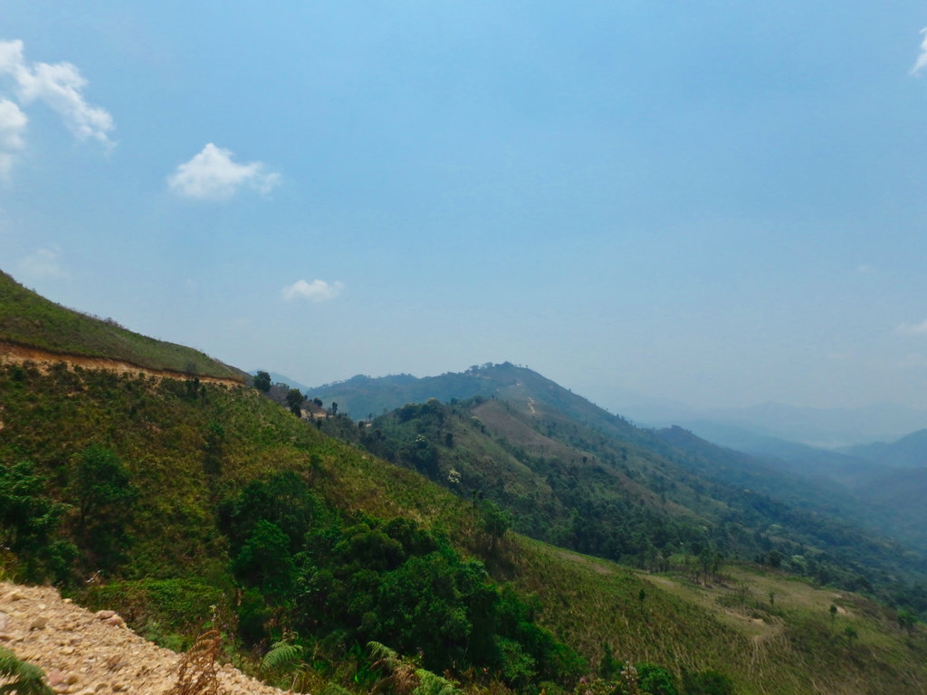
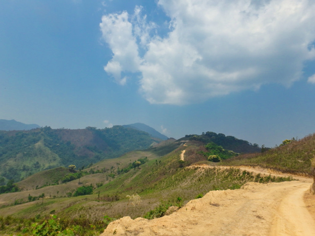
Lots of defoliants had been dropped in this area, I would learn later this was the site of LS 97.
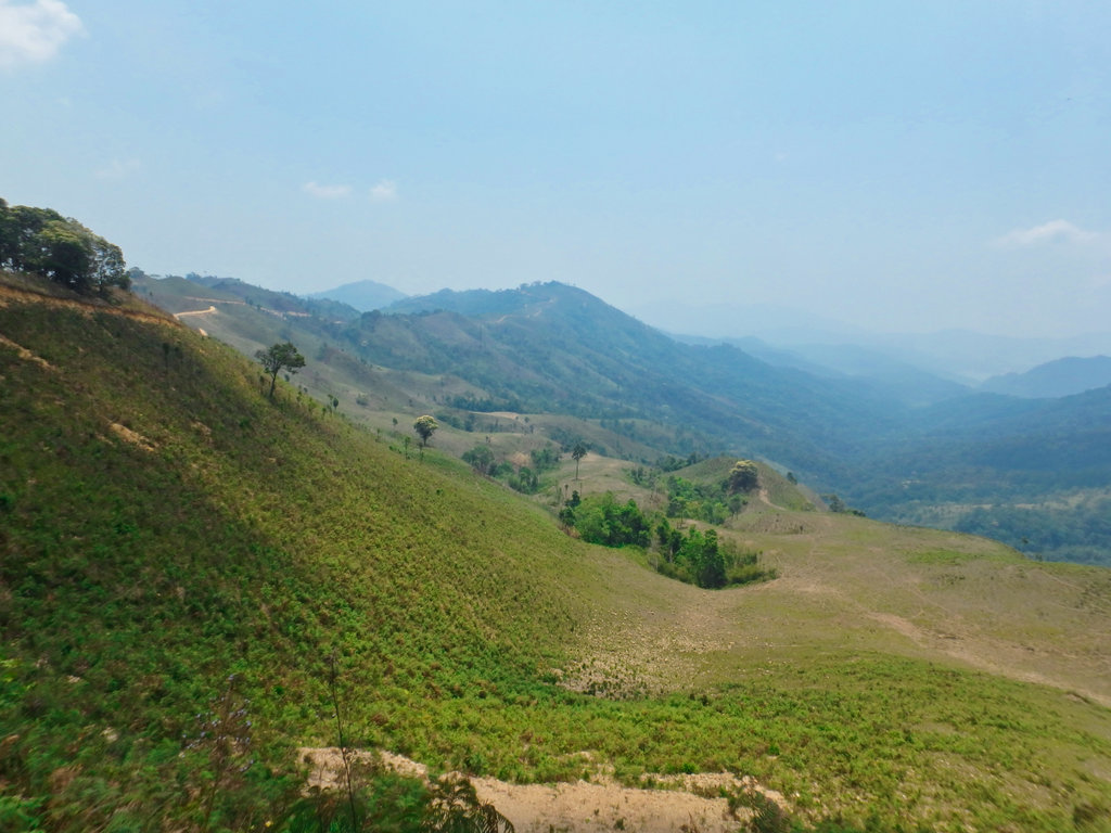
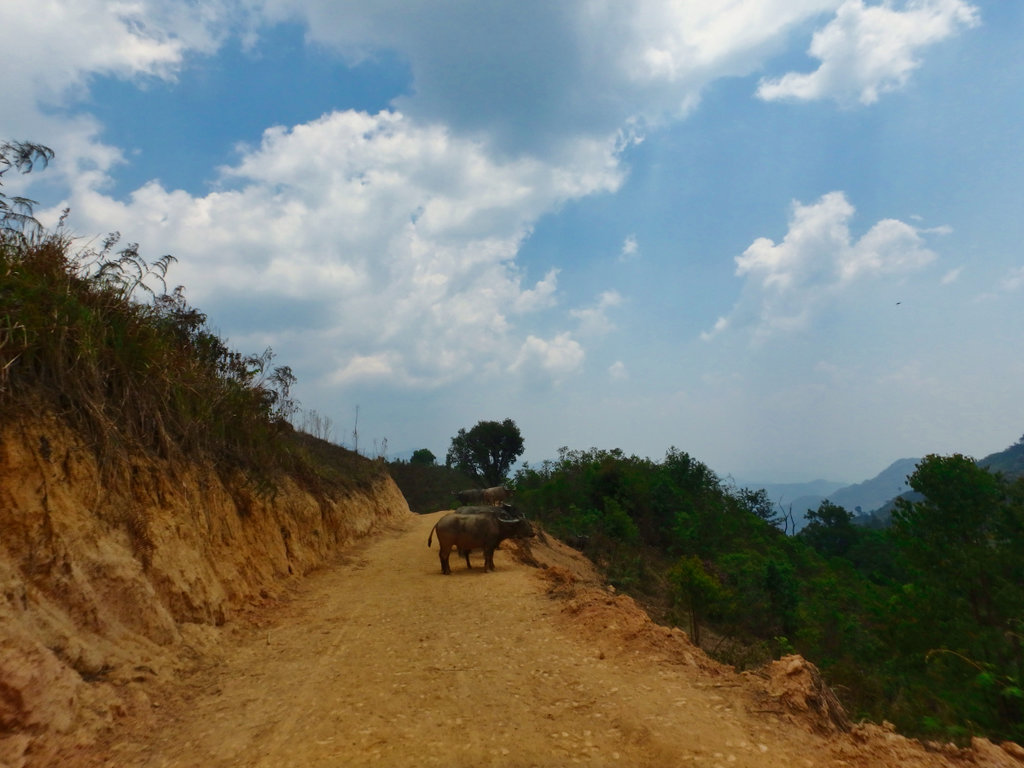
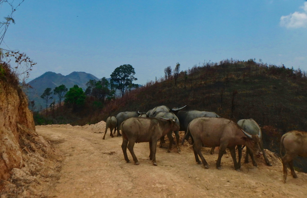
God knows who owned these buffalo's no signs of life anywhere we could see.
We then came across a small camp of some kind, immediately four or five of them ran out shouting carrying Ak47's telling us to stop. NOt friendly at all trying to find out where the road goes was a simple no reply, I grabbed this shot as they told us we had to go back. I can only presume it's going to some mining project, but there was no traffic on the road at all but a huge amount of money had been poured in to form the road up here.
N19.18140° E102.66969°
With our tail between our legs, it was back to the trailhead some 30km back.
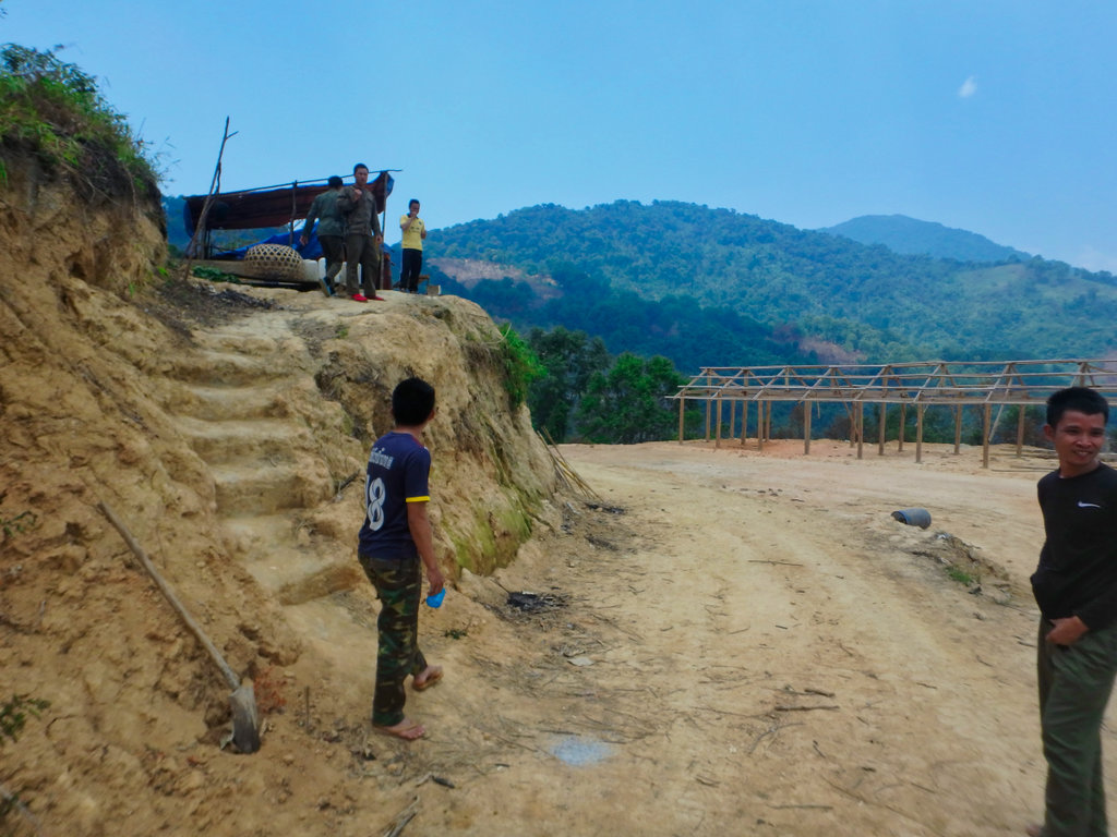
A shot of the road ahead clearly it continues for a long way.
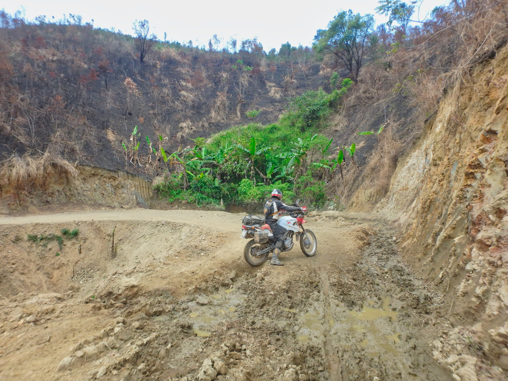
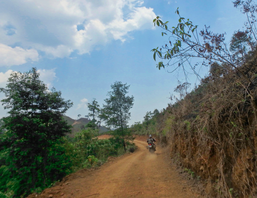
We pushed on as fast as we could as time was ebbing away and planned to take the trail I had previously ridden.
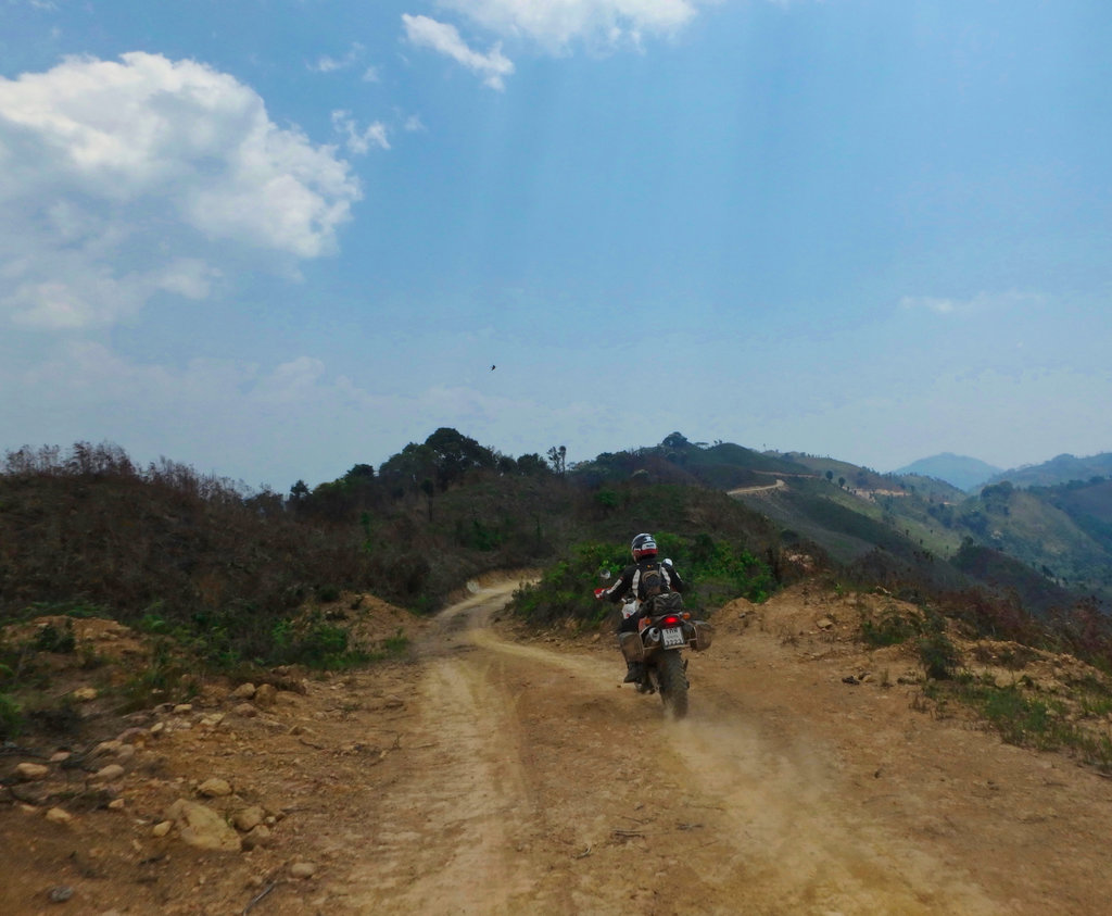
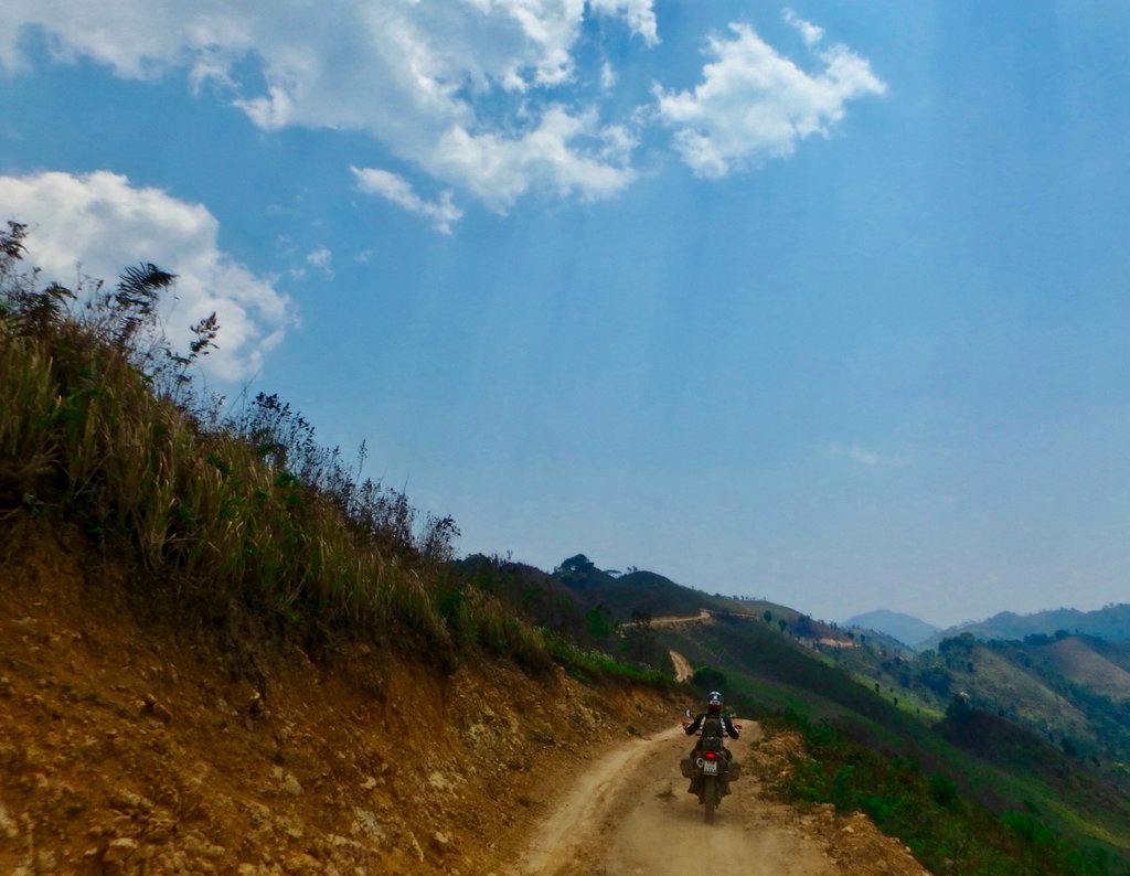
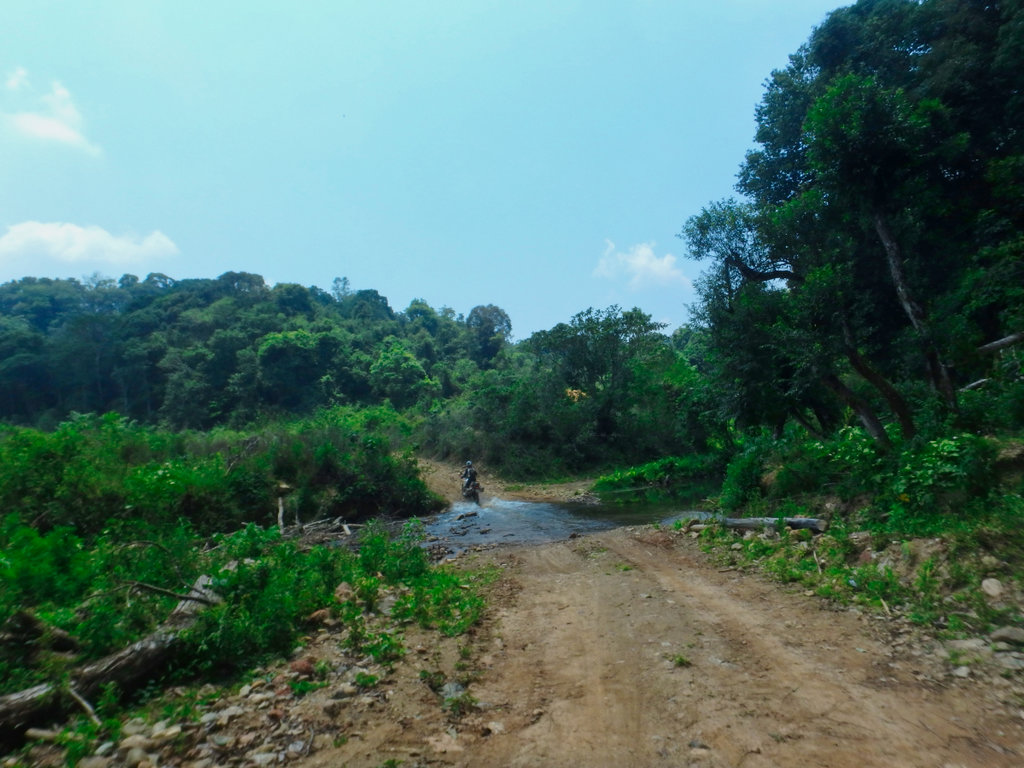
I spotted a single track that in theory would get it onto a trail marked on the gps.
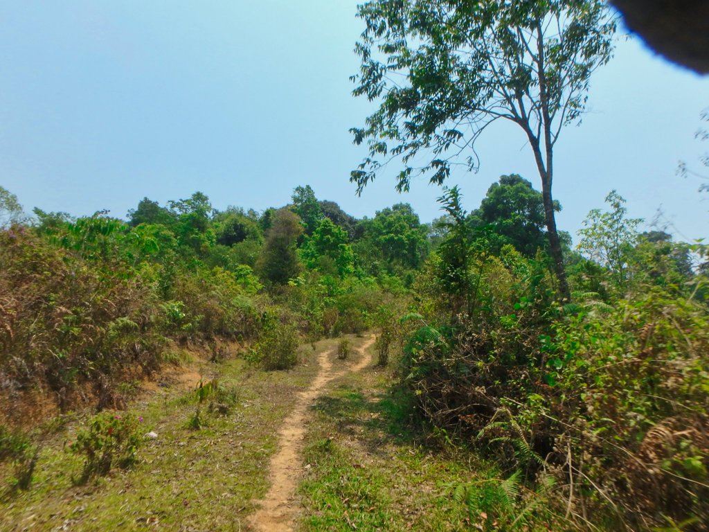
It was obviously being used by farmers so we hoped it would connect.
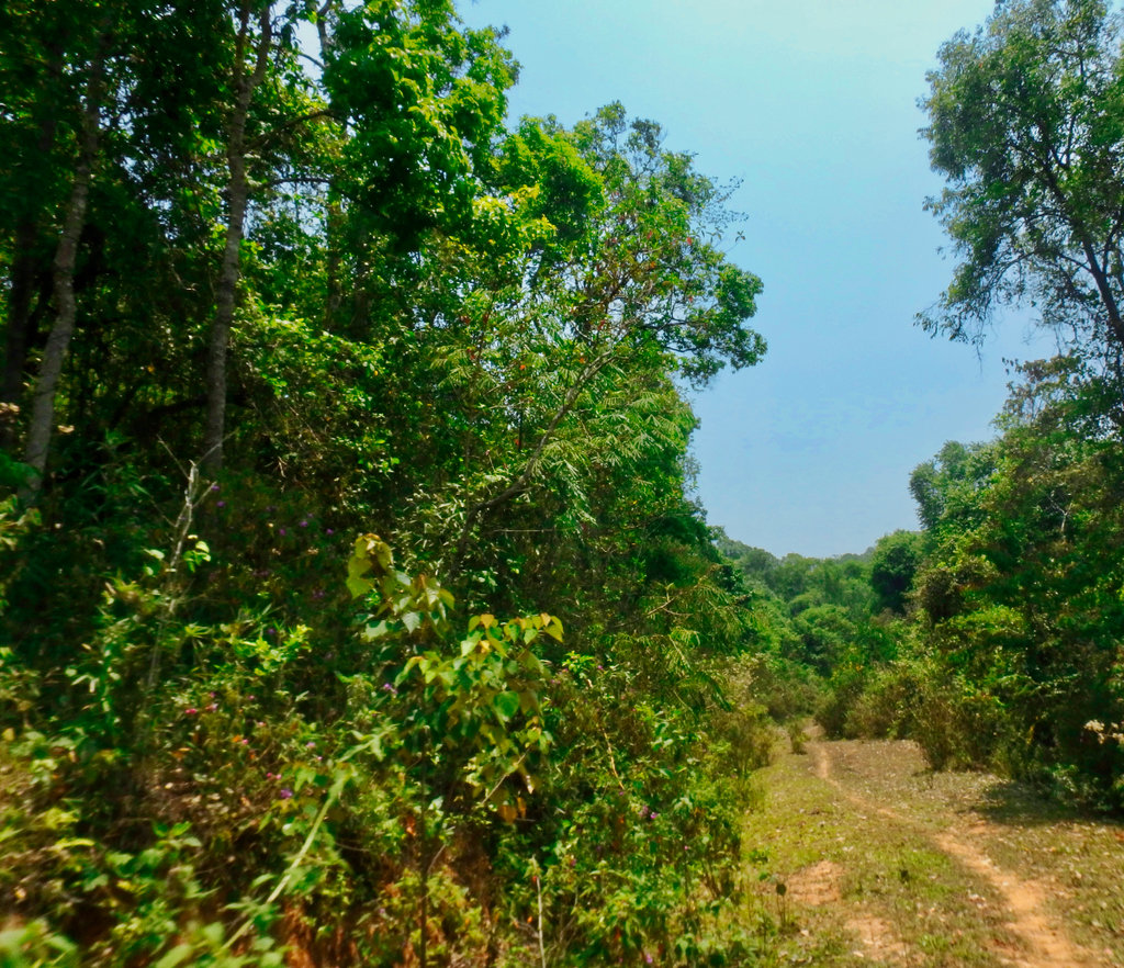
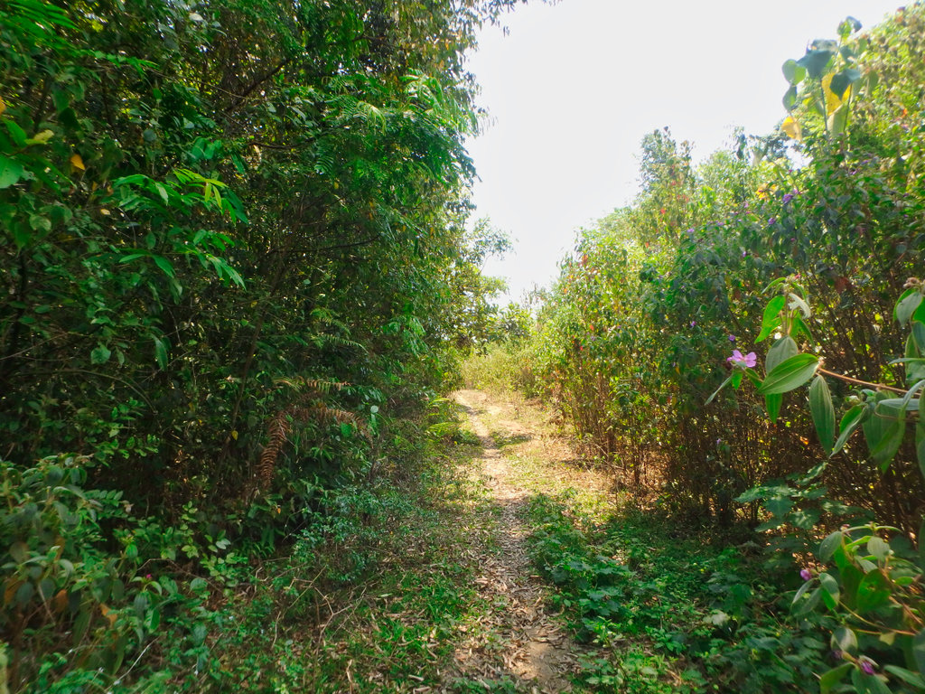
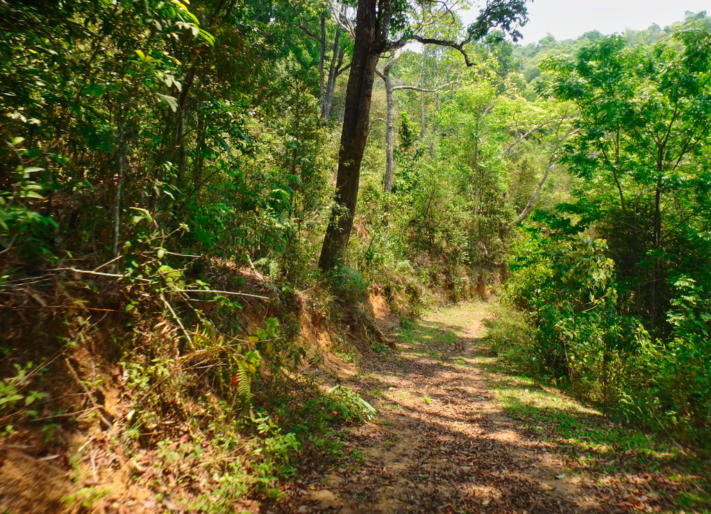
Looking good only 500m from hooking up with the trail.
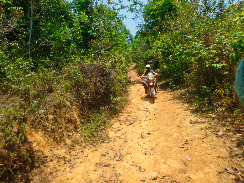
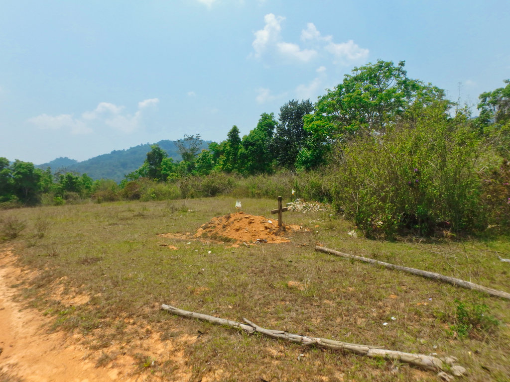
Couple of freshly dug graves.
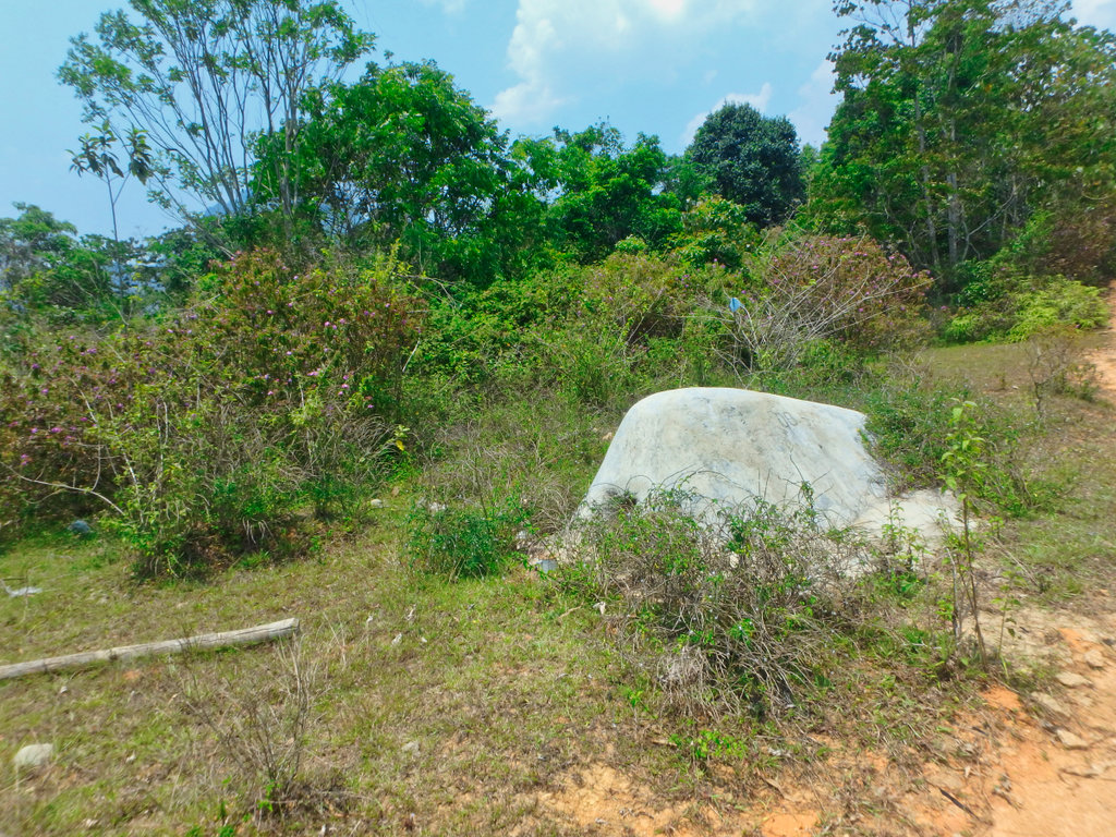
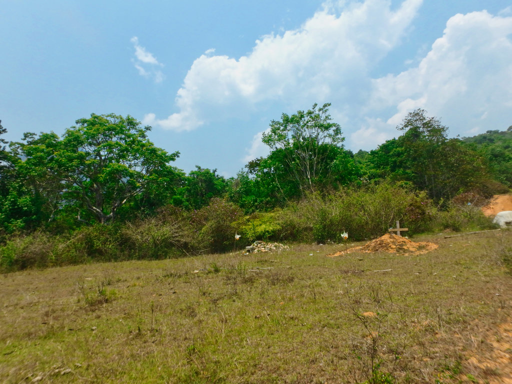
According to the gps a small village, hospital and school a few hundred metres away, this ravine was as far as we could go, unless your Graham Jarvis.
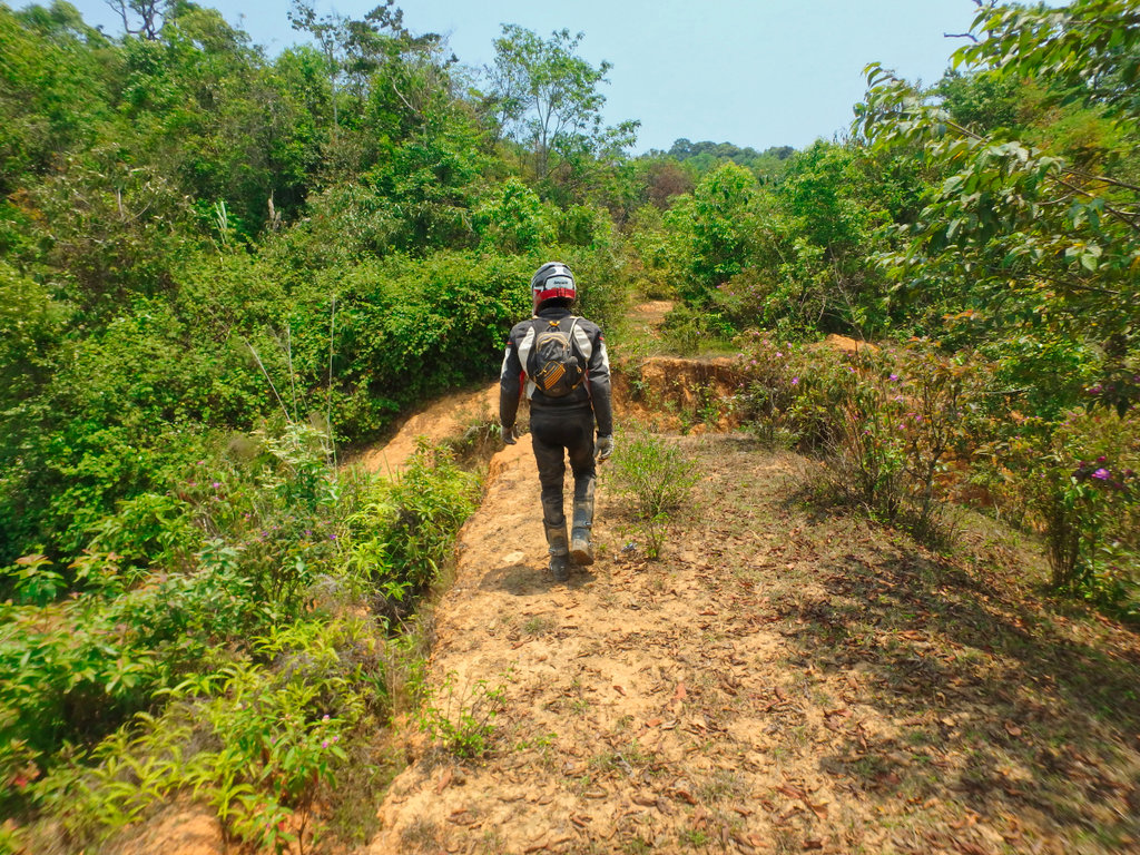
I scouted around for an alternative route around the ravine.
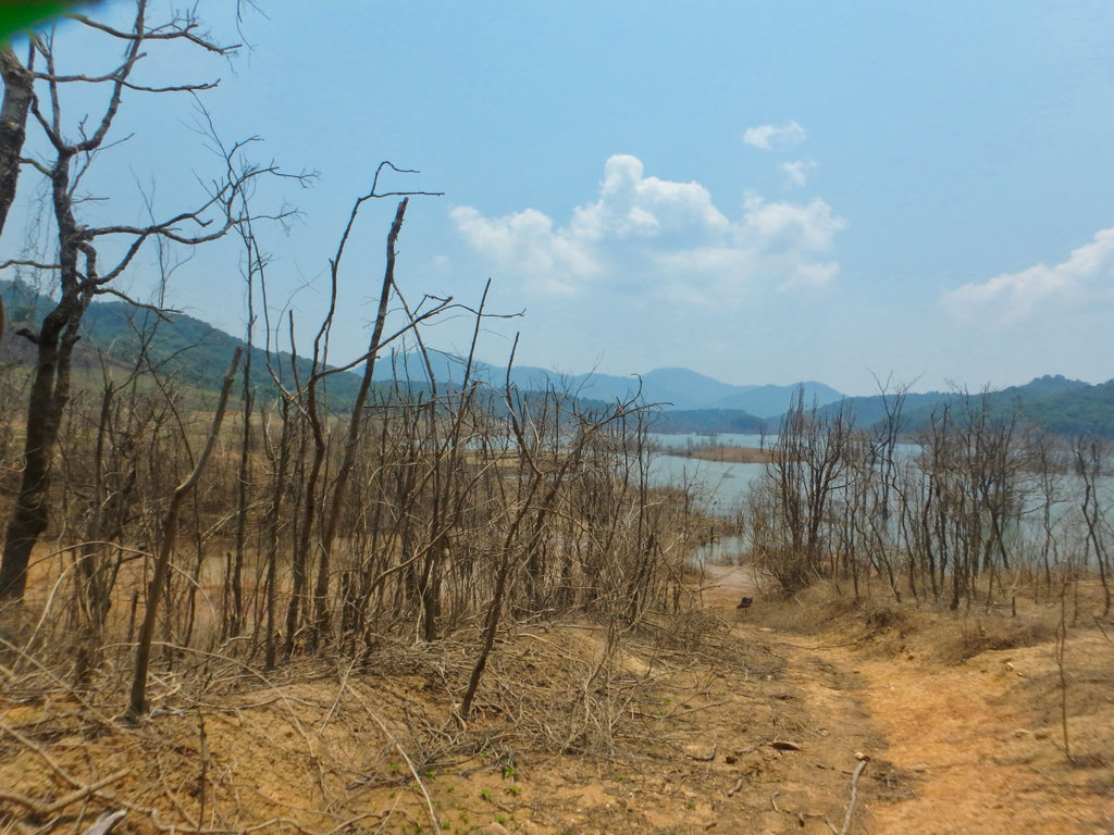
I may have made it across on the CRF, but the BMW would have bogged for sure.
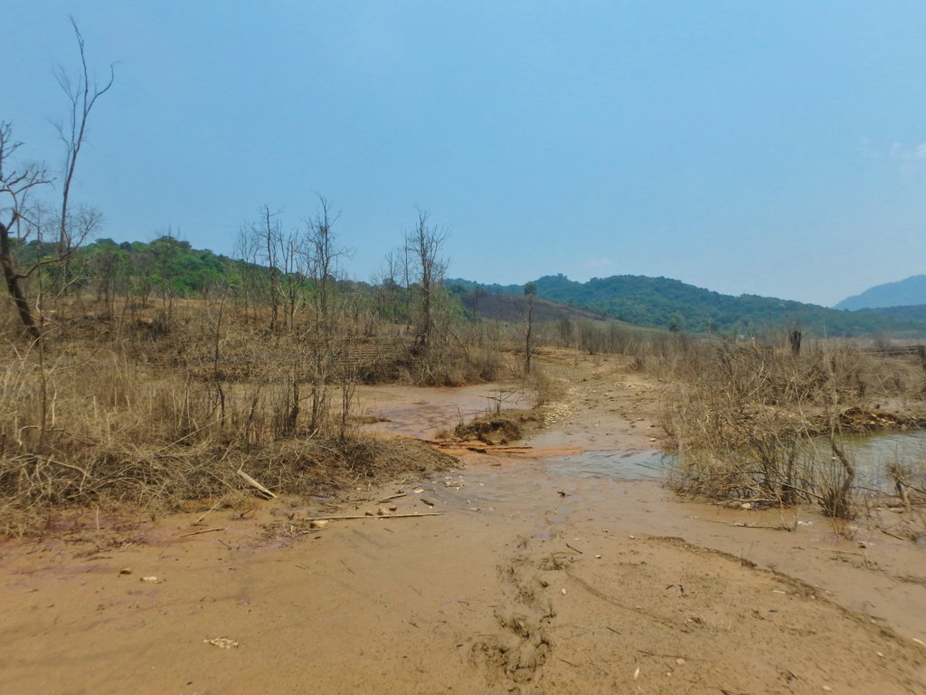
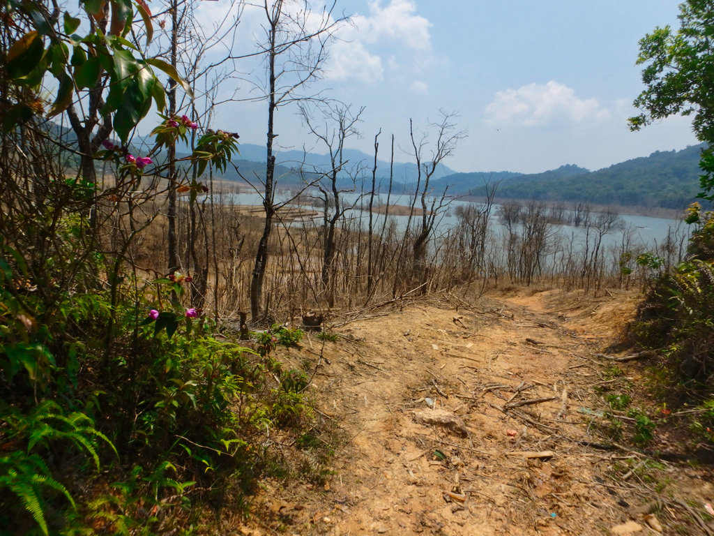
The old village off to the left.
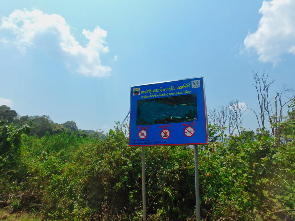
Strange place for a nice new sign in the middle of nowhere.
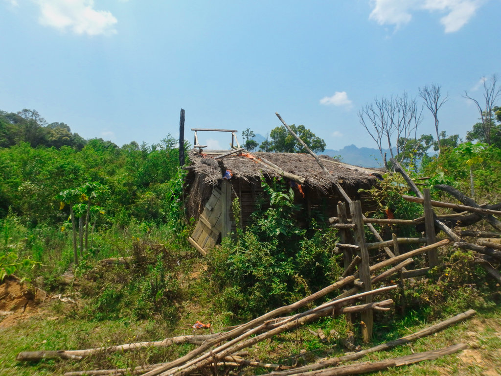
So now we tried the trail i did a few years back which should bring us a little further south.
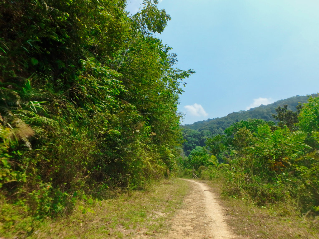
Well used looks promising this time.
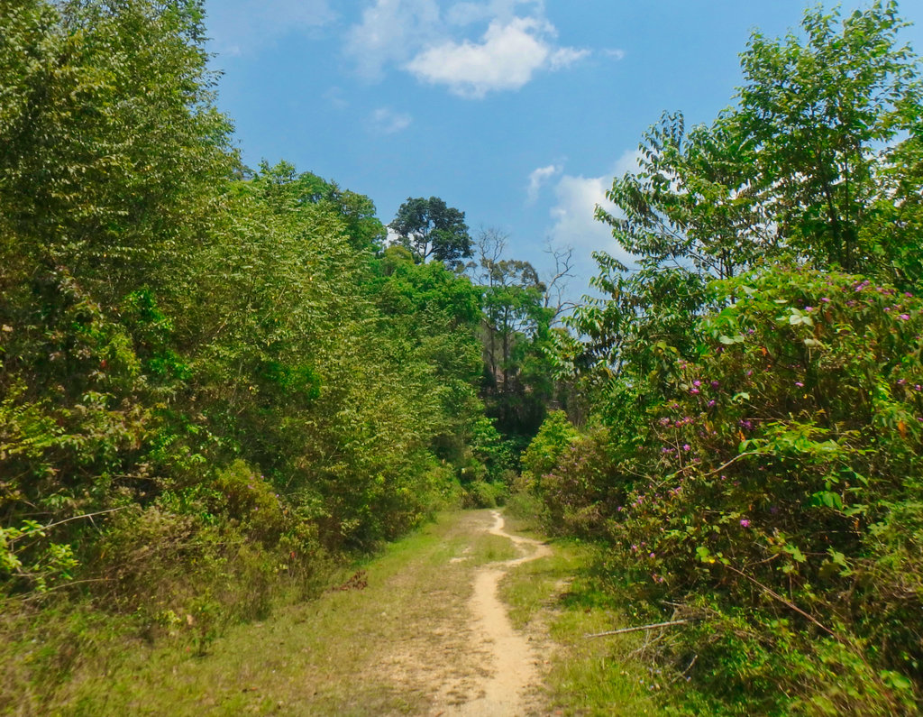
Through the gate.
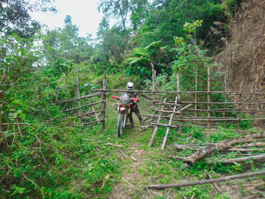
Enjoyable boggy section.
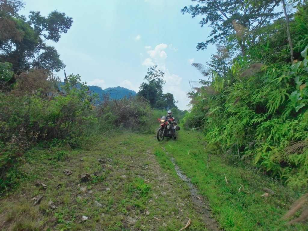
Then bam another bloody dead end, a nice new barbed wire fence marked the end of progress on this section, so back we went.
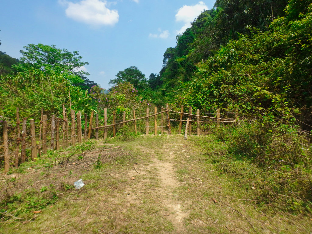
Through the bloody gate again.

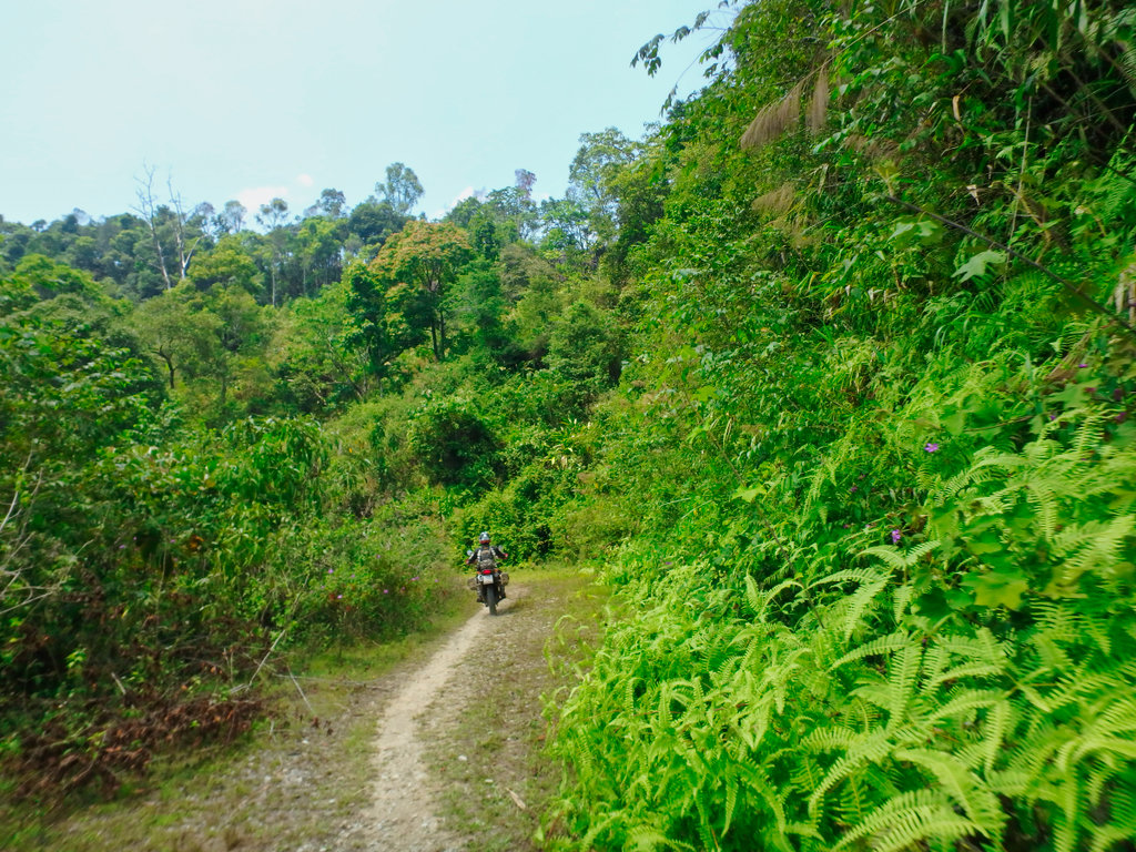
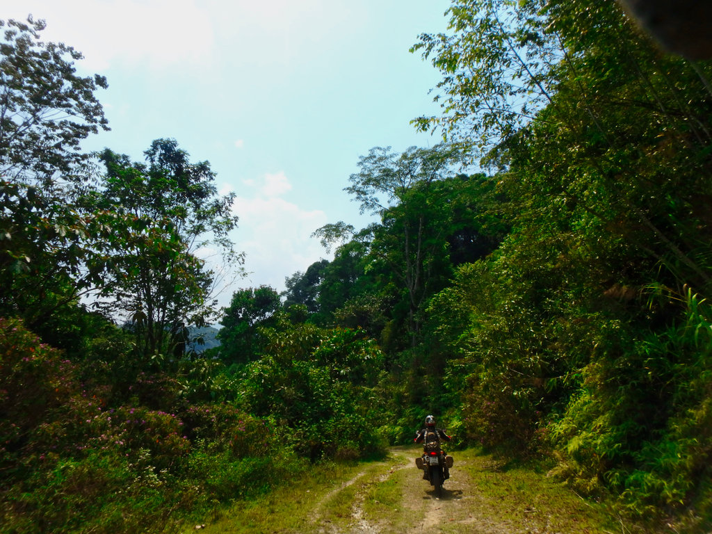
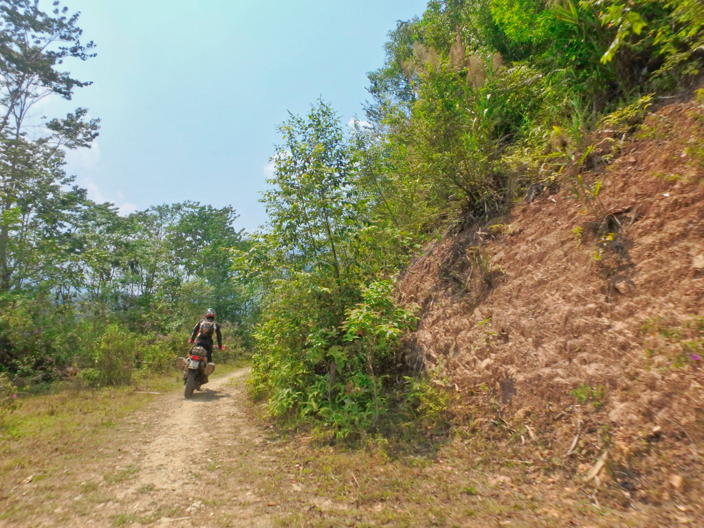
If it wasn't for the fact the trails had actually been fun, i would have been pretty pissed by now.
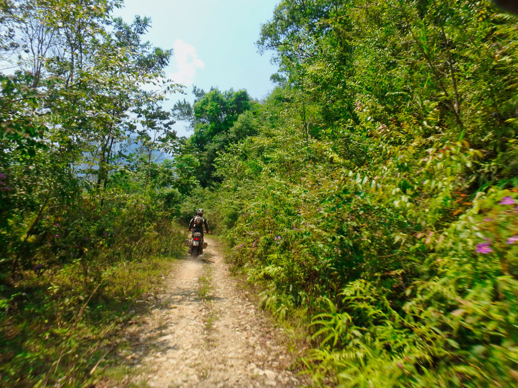
So we arrived back at the point where we met the couple on the bike, maybe the unmarked round was a bypass passing all the shit dead ends.
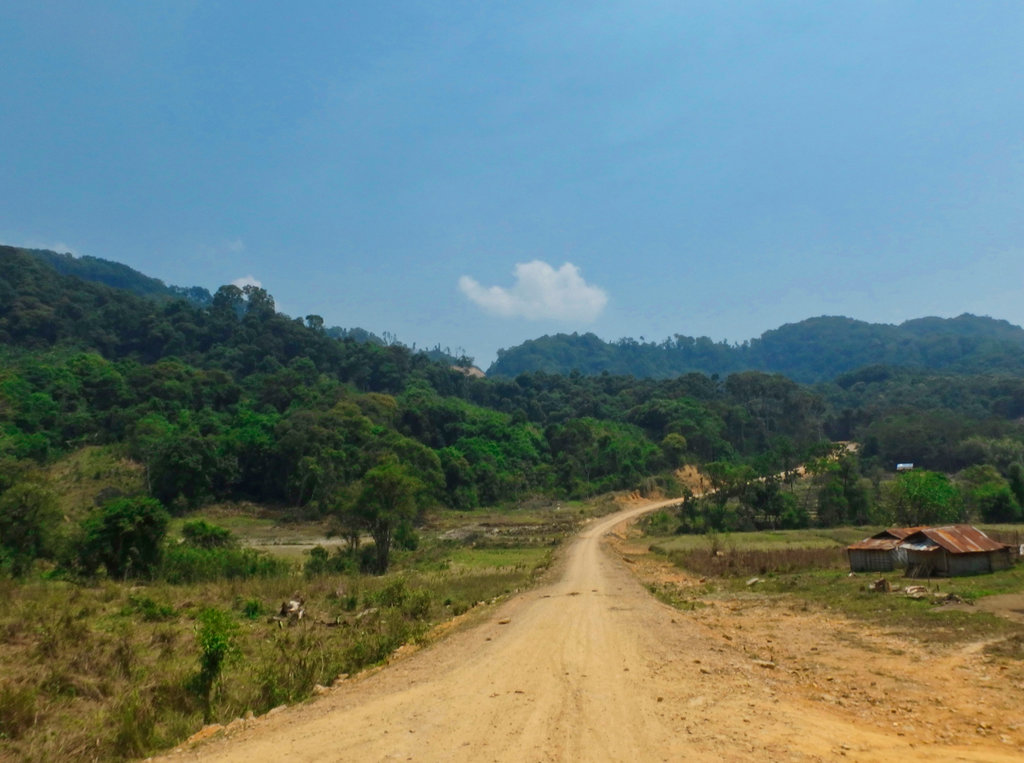
Finally, we reached the trail line on the gps and another unmarked village.
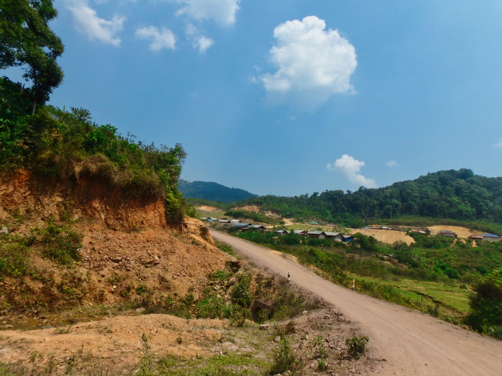
Some Hydro project.
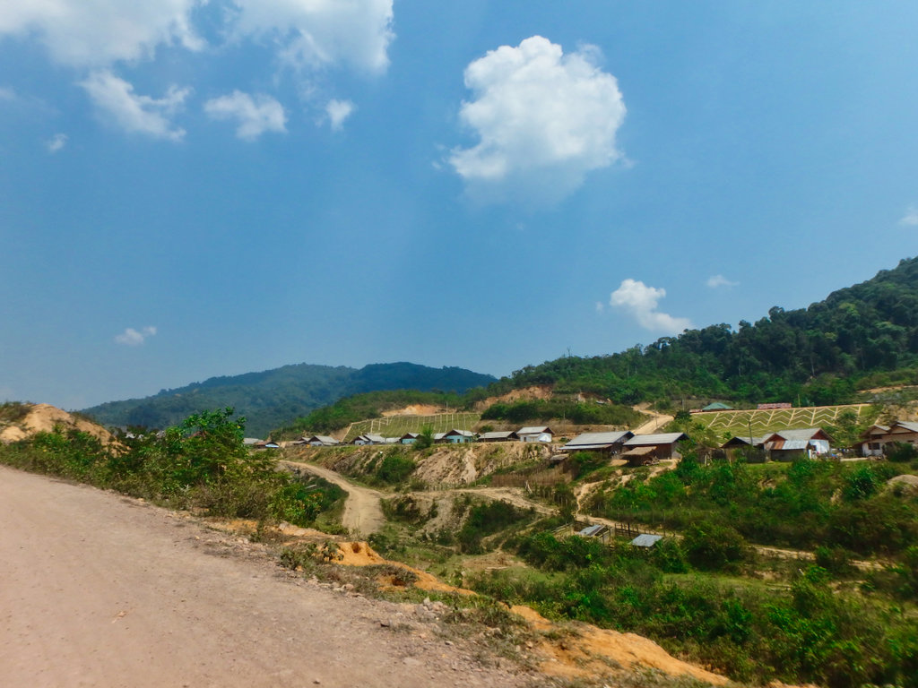
The village was more of a temporary settlement nothing looked permanent, we had talked with some guys back on the trail who mentioned a Hydro Dam and we may not be able to pass if lot's of traffic used the road, whatever that means.
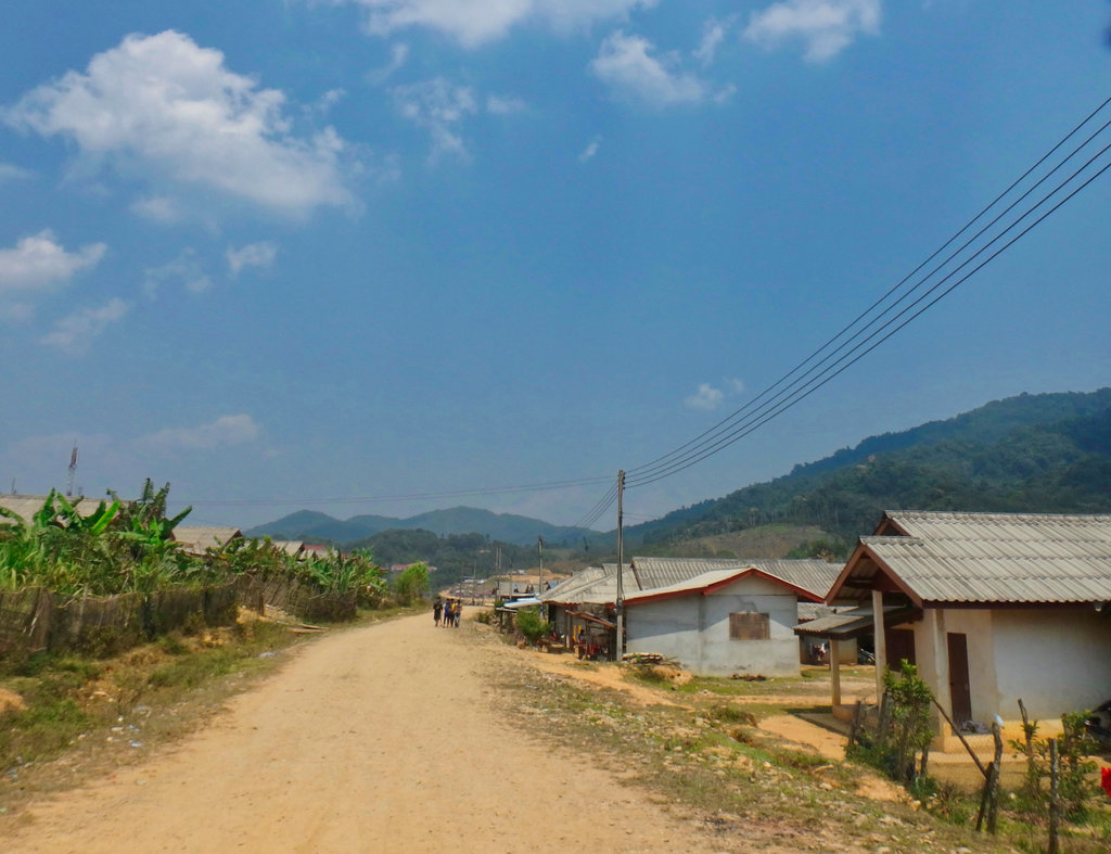
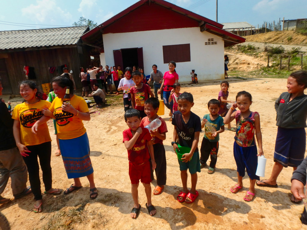
So we stopped for a drink at a shop and in no time a couple of guys showed up gesturing for paperwork of some kind, we are attracting too much attention so quickly stopped at a Songkran gathering of local kid's.
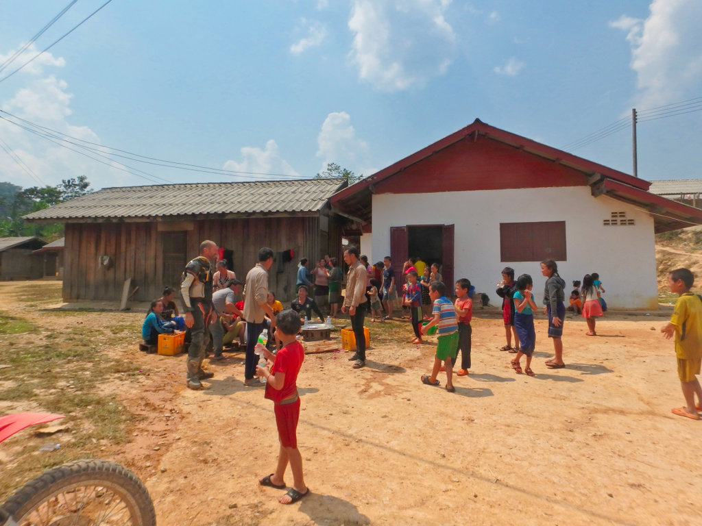
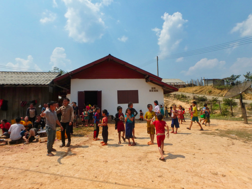
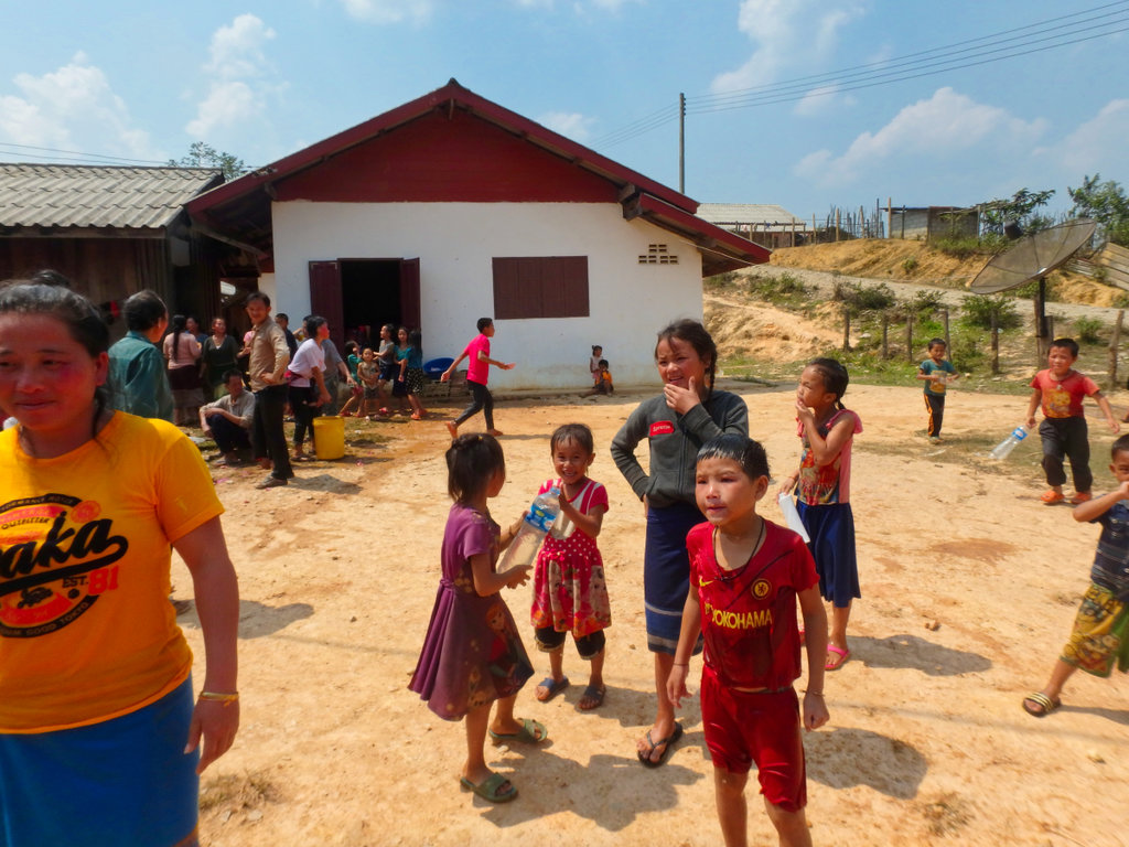
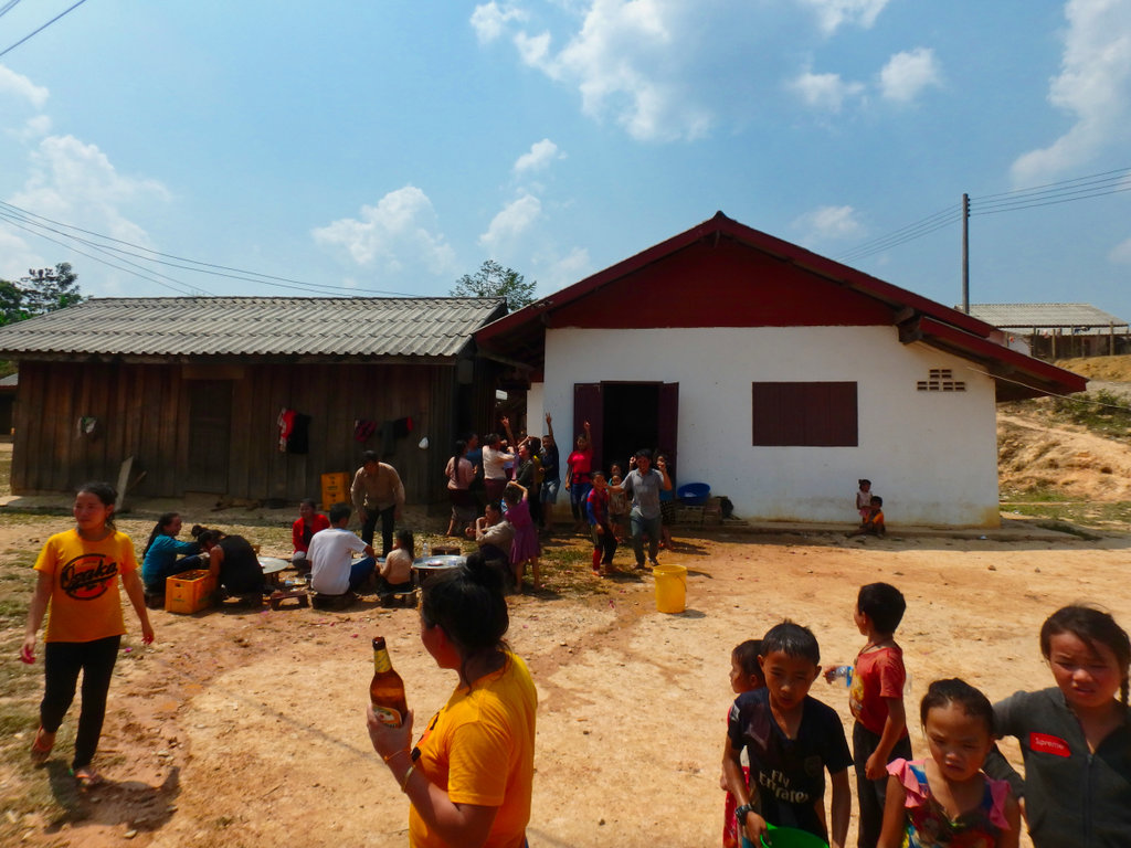
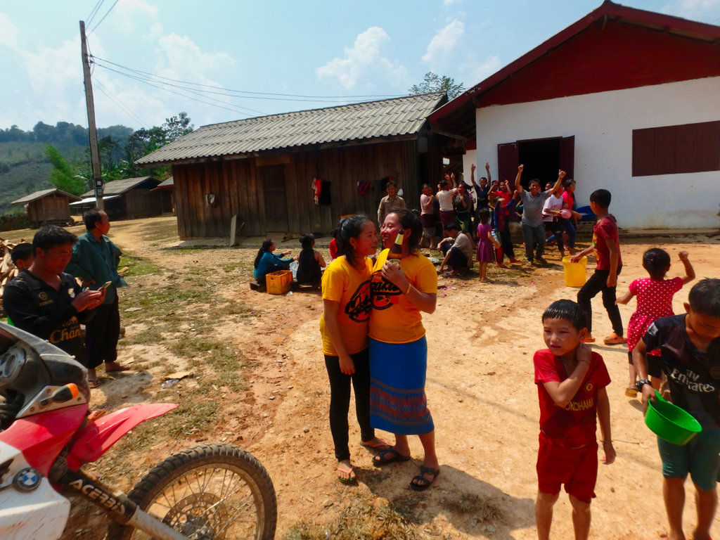
After a polite glass of beer, some other guy's showed up, what the hell was going on.
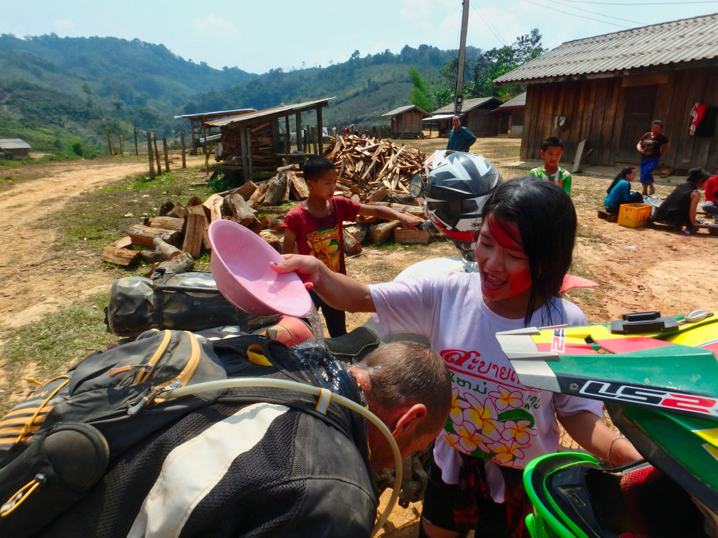
Nick being suitably blessed.
It was a fun gather and we would have stopped longer but we got the feeling form these watching guy's we are not welcome so pushed off.
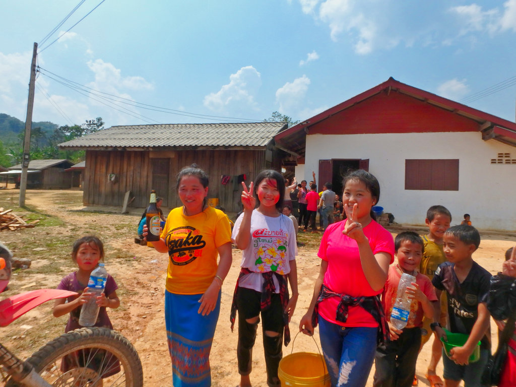
Fun bunch of kid's.
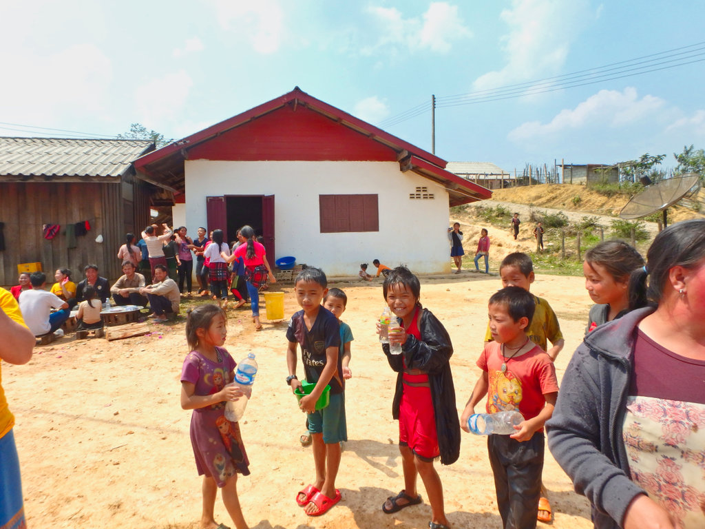
How close we where to hooking up.

So to cut a long story short, as we left the village there was a string barrier, i got the feeling we would be asked lot's of meaningless questions and blasted around the checkpoint, the road after was rocky as hell and deep in dust. No surprise a little further and army point pulled us over.
Smiling all the way we explain where we planned to go, showed them a bunch of pictures from my phone of kid's etc and the toys in my tanks bags, they relaxed a little and offered us some tea and told us to be careful of the bad people out there and let us go.
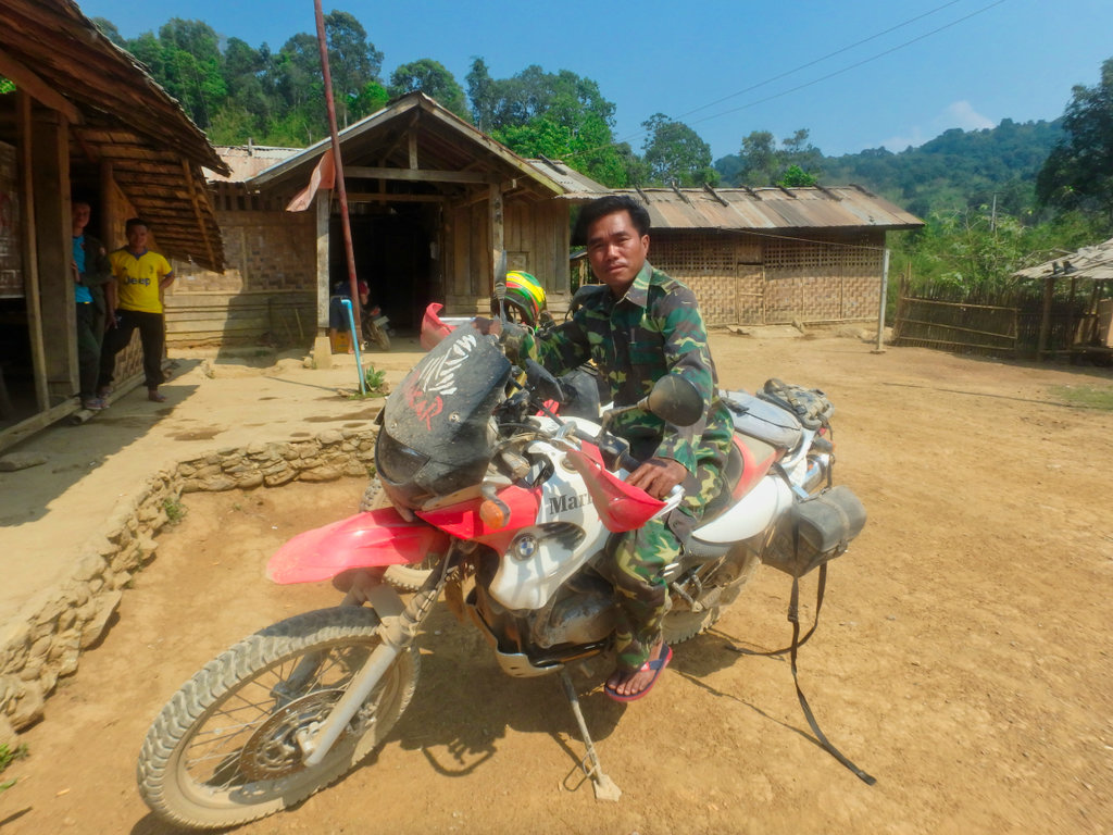
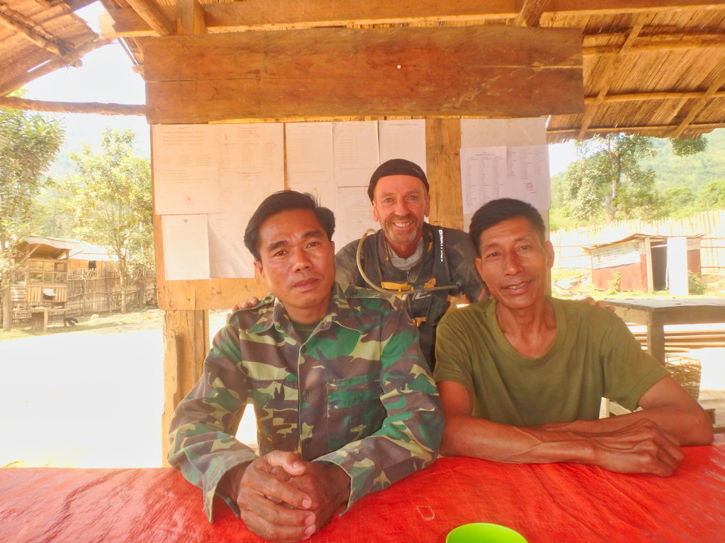
Group shot so we could so the next checkpoint if we needed too.
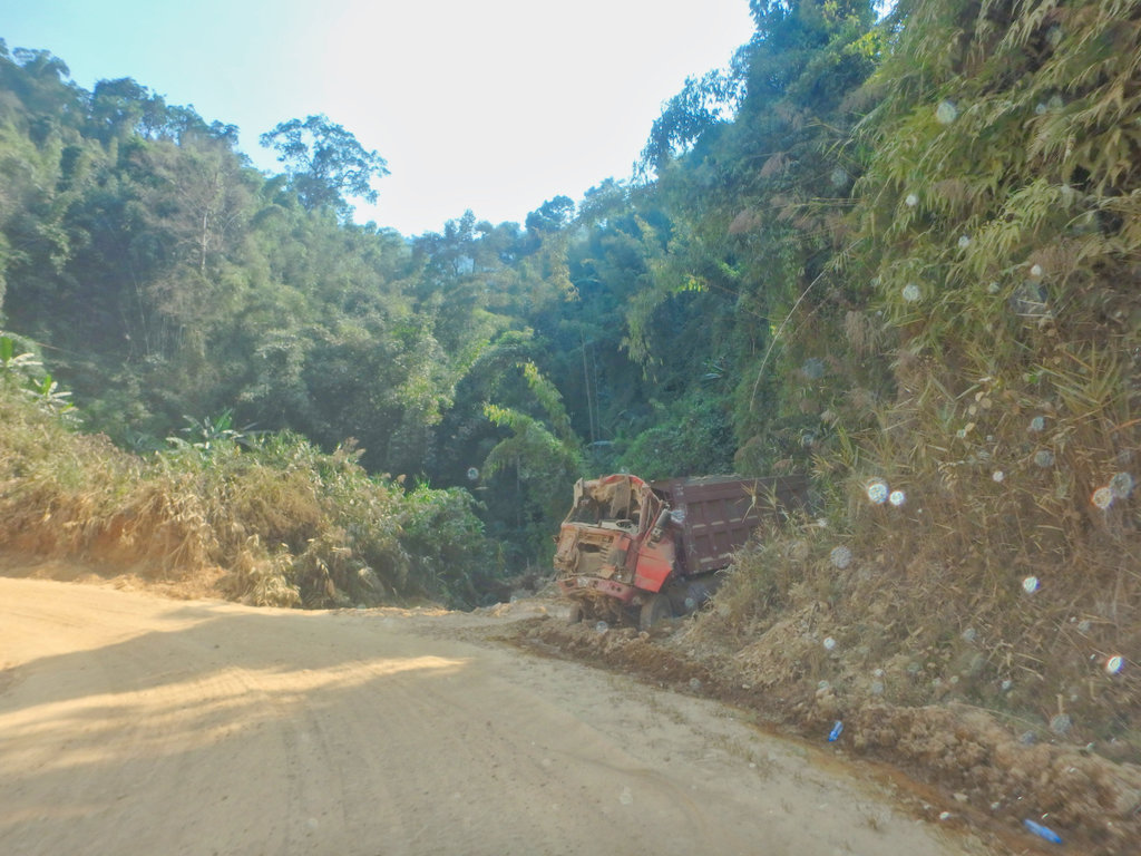
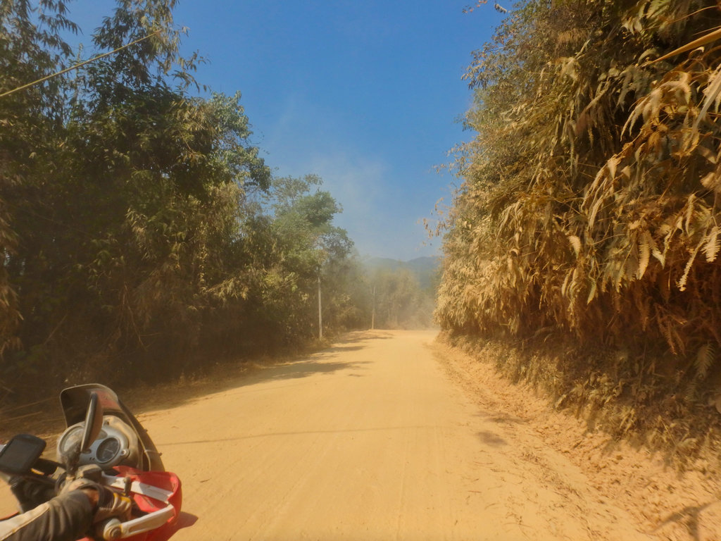
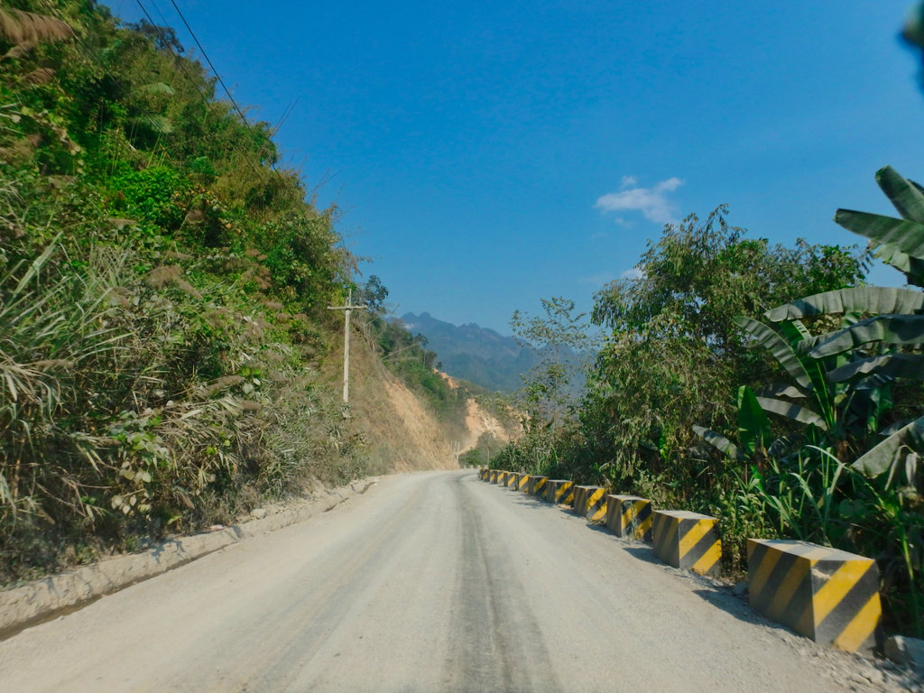
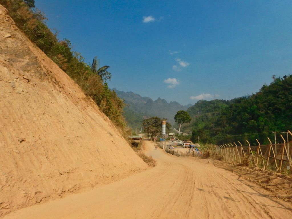
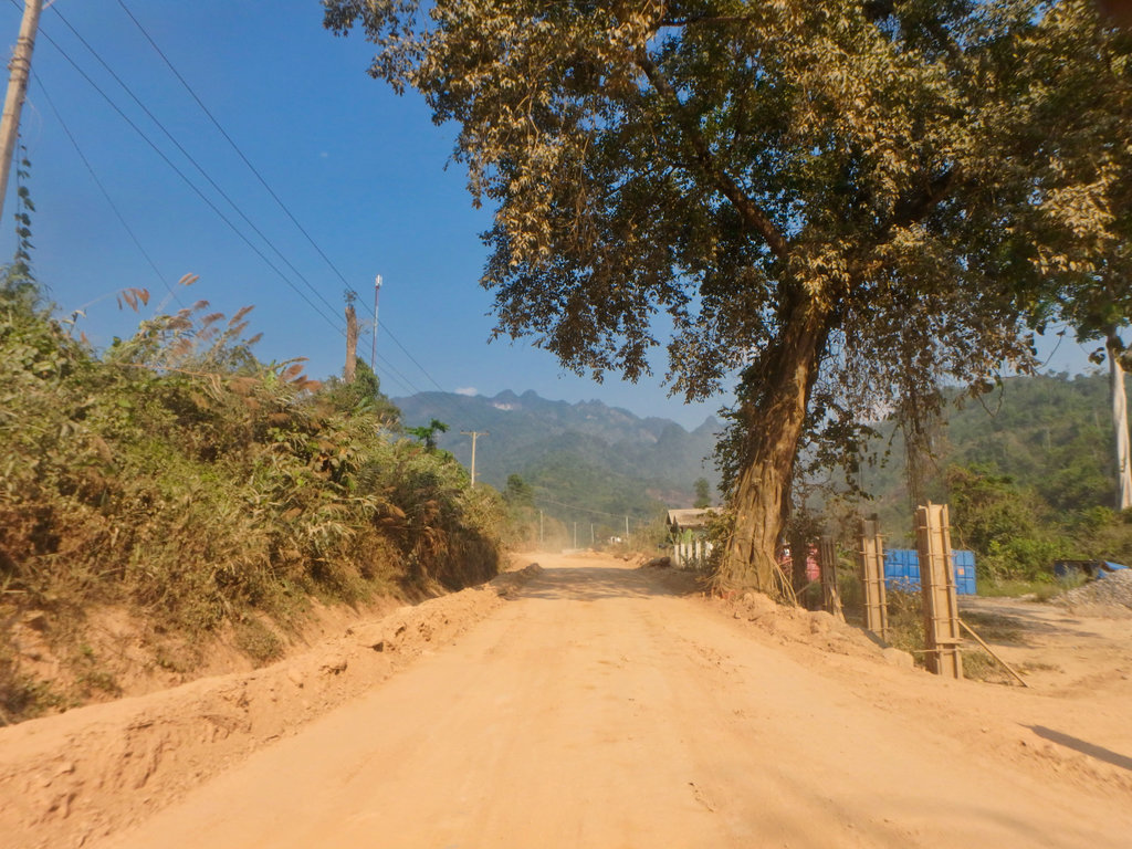
The road from here to Phu Bai is shocking, the bulldust was the thickest so far and impossible to see when each truck passed, this truck most likley lost viosion in the dust cloud.
By now it was as hot as hell and between the rocks and the dust it was hard going.
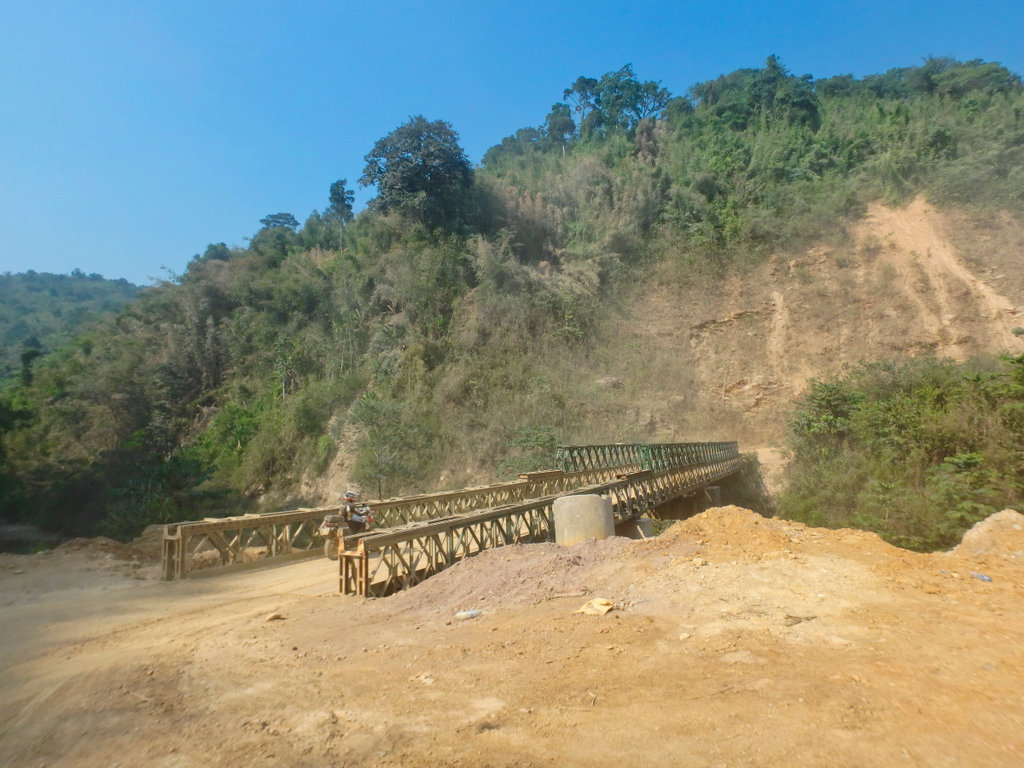
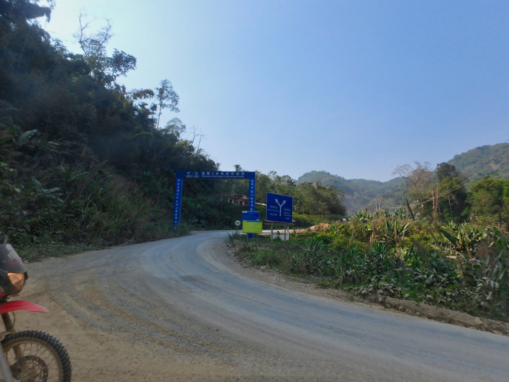
Finally, Chinese sign's of course and another Hydro site, nearing the mine area.
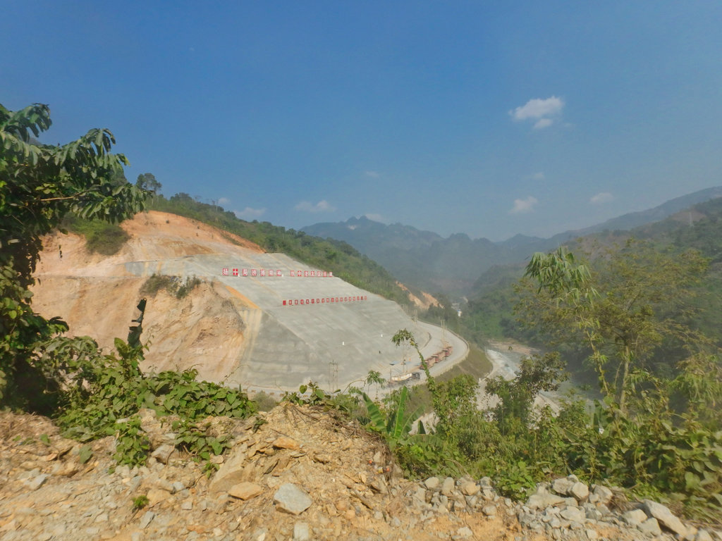
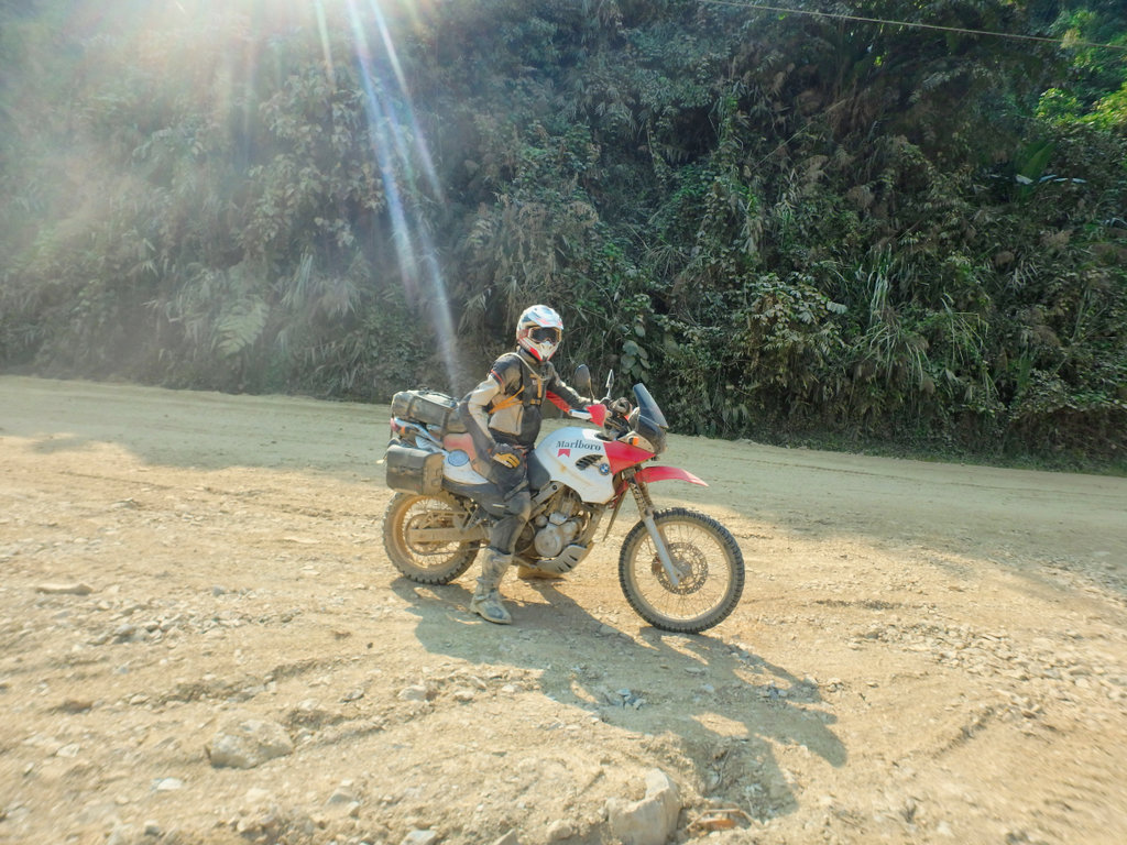
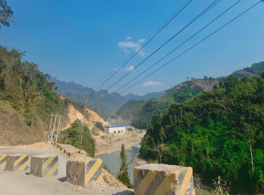
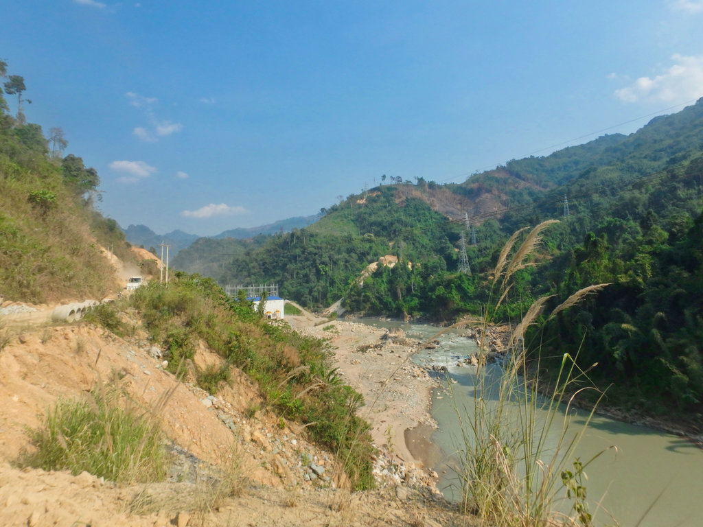
Hydro station ahead.
With some relief we finally got on the newly paved stu7ff heading north, not much relief really, it was newly laid with stone chippings and like riding on marbles.
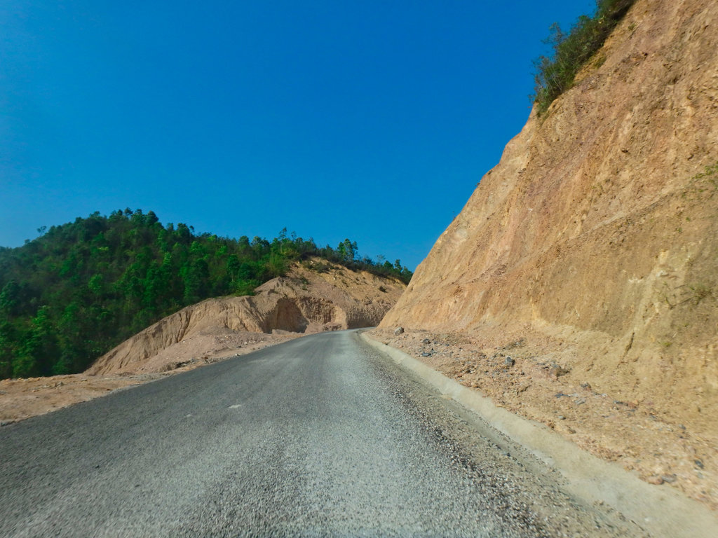
It has taken several years for the road to get to the pavment stage, sadly by the look of it the money was all but gone and the topping will be most likely gone by the end of the next rainy season, it was really shabby work.
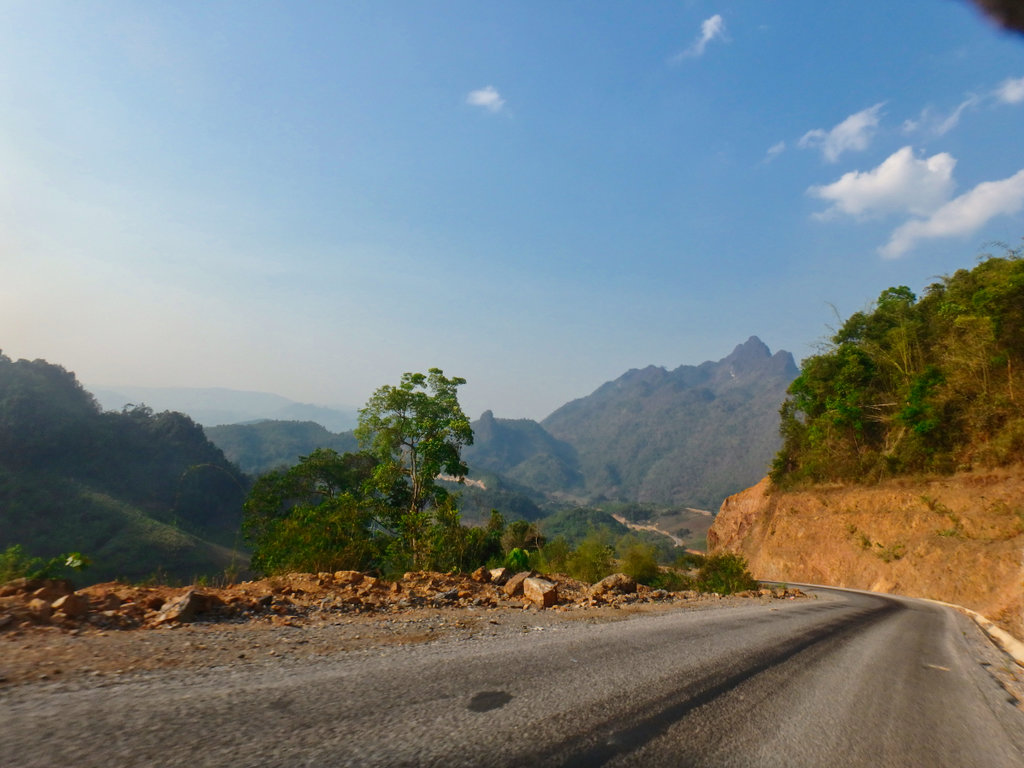
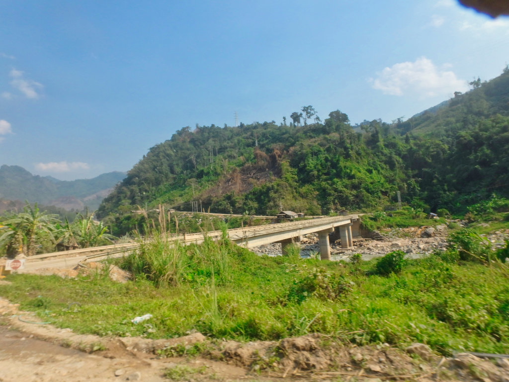
Small diversion at Ban Nampha as the old bridge is being replaced.
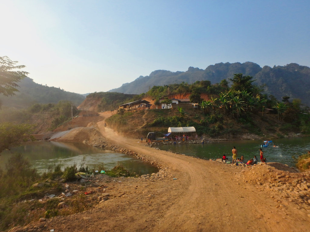
Soon after we arrived in Long Cheng with no fuss, was greeted by Saysamone and given a big hug along with a bollocking for not contacting I was coming, the beer flowed into the early hours as a huge storm came overhead that might rearrange our travel plans for the next day.

The route only 245km but it was a hike.

Weather locked us in the next morning so a brief tour and more beer was in order......
GPX viewer
N19.19685° E102.23759°

Fortunately we didn't have to spend too much time on the 13N, it's as slick as ever

Soon making the turn onto the dirt at N19.07766° E102.43050° nice view of the bridge over the 13N and remnants of the old bridge supports.

We had already passed several signs of the new railway construction carving its way through Laos, progress of sorts.

One of the hundreds of tunnels.

Concrete pump busy at work forming one of the rail lines supports, this process being recreated hundreds of times gives some idea of the scale of the project.

Once passed the construction works, life settled back to the normal simple Laos style.


Nick's bike looking a wee bit shabbier than a few days back.


Many of the villages we passed are slowly being abandoned, maybe future plans for a new dam project in the pipeline.


We stopped for a drink, the villagers looked a little surprised to see us asked where we headed, our answer leaving them puzzled.

The trail used to cross here, the bridge now in disrepair.

A newer bridge a few km upstream.

Construction workers camp, although little actual construction going on.

From this point, we saw no traffic at all although a huge amount of money had been invested in opening the road.


Piles of gravel waiting to be compacted.

Freshley graded at this point.


It started to become clear this was another white elephant project, likely never to be completed.

Previous grading work now being taken back by nature.


Huge waste of funding.

This climb was interesting, a stream passed across the roadway bringing with it piles of rocks.


Now it turned into simple double track.

Ban Homxai now abandoned N19.10553° E102.67187°

A km back there was a new unmapped road, a farmer passed a told us we should go straight, this was a huge mistake as we would find out later.


A little further along with another split, another new road to my left and the trail i had ridden before dead ahead, by now the farmer caught us up and told us we should go left

A nice newly formed double track through the mountains, we followed him for a while as we gained elevation.


All good so far it was nice to be in the shade of the trees.

Stopping several times trying to figure where this new road may go too as we could see it snaked its way around the mountains.


Nice clear air up here and some great views, the road kept heading in a northerly direction, I considered it may be heading to Nam Ngum 3 and to Long Cheng.


A small makeshift barrier ahead was open.


We passed a couple of guys on motorbikes and asked where the road went too, they said nowhere but we could plainly see the road snaking of for several km, so undeterd we pressed on hoping it would take a huge corner out of the ride.


Lots of defoliants had been dropped in this area, I would learn later this was the site of LS 97.

God knows who owned these buffalo's no signs of life anywhere we could see.


We then came across a small camp of some kind, immediately four or five of them ran out shouting carrying Ak47's telling us to stop. NOt friendly at all trying to find out where the road goes was a simple no reply, I grabbed this shot as they told us we had to go back. I can only presume it's going to some mining project, but there was no traffic on the road at all but a huge amount of money had been poured in to form the road up here.
N19.18140° E102.66969°
With our tail between our legs, it was back to the trailhead some 30km back.

A shot of the road ahead clearly it continues for a long way.


We pushed on as fast as we could as time was ebbing away and planned to take the trail I had previously ridden.


I spotted a single track that in theory would get it onto a trail marked on the gps.

It was obviously being used by farmers so we hoped it would connect.


Looking good only 500m from hooking up with the trail.

Couple of freshly dug graves.


According to the gps a small village, hospital and school a few hundred metres away, this ravine was as far as we could go, unless your Graham Jarvis.

I scouted around for an alternative route around the ravine.

I may have made it across on the CRF, but the BMW would have bogged for sure.

The old village off to the left.

Strange place for a nice new sign in the middle of nowhere.


So now we tried the trail i did a few years back which should bring us a little further south.

Well used looks promising this time.

Through the gate.

Enjoyable boggy section.

Then bam another bloody dead end, a nice new barbed wire fence marked the end of progress on this section, so back we went.

Through the bloody gate again.


If it wasn't for the fact the trails had actually been fun, i would have been pretty pissed by now.

So we arrived back at the point where we met the couple on the bike, maybe the unmarked round was a bypass passing all the shit dead ends.

Finally, we reached the trail line on the gps and another unmarked village.

Some Hydro project.

The village was more of a temporary settlement nothing looked permanent, we had talked with some guys back on the trail who mentioned a Hydro Dam and we may not be able to pass if lot's of traffic used the road, whatever that means.

So we stopped for a drink at a shop and in no time a couple of guys showed up gesturing for paperwork of some kind, we are attracting too much attention so quickly stopped at a Songkran gathering of local kid's.


After a polite glass of beer, some other guy's showed up, what the hell was going on.

Nick being suitably blessed.

It was a fun gather and we would have stopped longer but we got the feeling form these watching guy's we are not welcome so pushed off.

Fun bunch of kid's.

How close we where to hooking up.
So to cut a long story short, as we left the village there was a string barrier, i got the feeling we would be asked lot's of meaningless questions and blasted around the checkpoint, the road after was rocky as hell and deep in dust. No surprise a little further and army point pulled us over.
Smiling all the way we explain where we planned to go, showed them a bunch of pictures from my phone of kid's etc and the toys in my tanks bags, they relaxed a little and offered us some tea and told us to be careful of the bad people out there and let us go.

Group shot so we could so the next checkpoint if we needed too.

The road from here to Phu Bai is shocking, the bulldust was the thickest so far and impossible to see when each truck passed, this truck most likley lost viosion in the dust cloud.

By now it was as hot as hell and between the rocks and the dust it was hard going.


Finally, Chinese sign's of course and another Hydro site, nearing the mine area.


Hydro station ahead.


With some relief we finally got on the newly paved stu7ff heading north, not much relief really, it was newly laid with stone chippings and like riding on marbles.

It has taken several years for the road to get to the pavment stage, sadly by the look of it the money was all but gone and the topping will be most likely gone by the end of the next rainy season, it was really shabby work.

Small diversion at Ban Nampha as the old bridge is being replaced.

Soon after we arrived in Long Cheng with no fuss, was greeted by Saysamone and given a big hug along with a bollocking for not contacting I was coming, the beer flowed into the early hours as a huge storm came overhead that might rearrange our travel plans for the next day.


The route only 245km but it was a hike.
Weather locked us in the next morning so a brief tour and more beer was in order......
GPX viewer

