Garmin Montana 650 GPS

KTMphil

Senior member
Joined
Jan 11, 2011
Location
Chiang Mai, Thailand
Bikes
2007 KTM 990 Adventure Suzuki DRZ 400
Garmin Montana 650 GPS

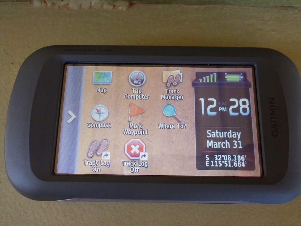
Just received my Garmin Montana 650 GPS in Thailand, total cost was around USD$625 from the USA (18,750 Bht).

(If you get one add a phone screen saver straight away)

http://rideasia.net/forum/garmin-announces-new-montana-gps-model-t542.html

http://www.amazon.com/Garmin-Montana-Waterproof-Hiking-Megapixel/dp/B0050SNCLQ

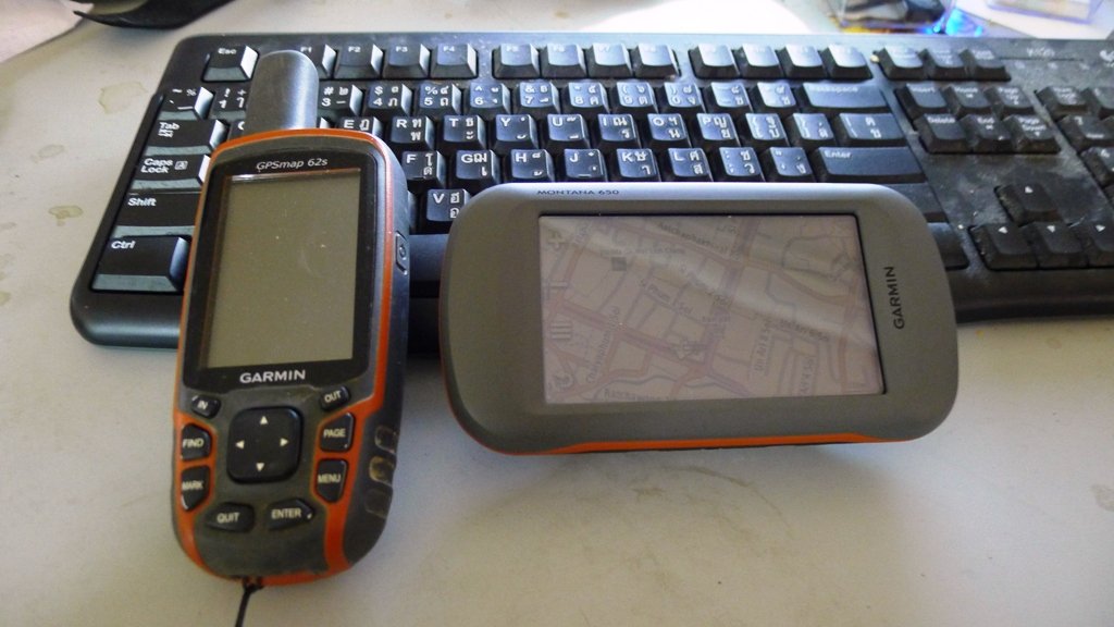
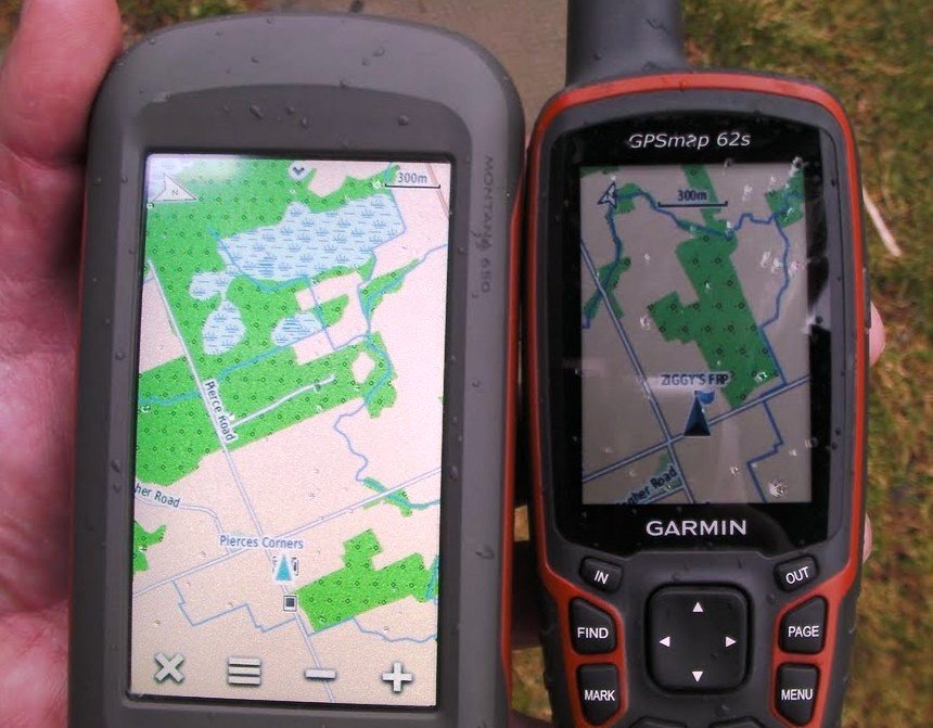
As you can see it has a huge touch screen compared to my garmin 62S
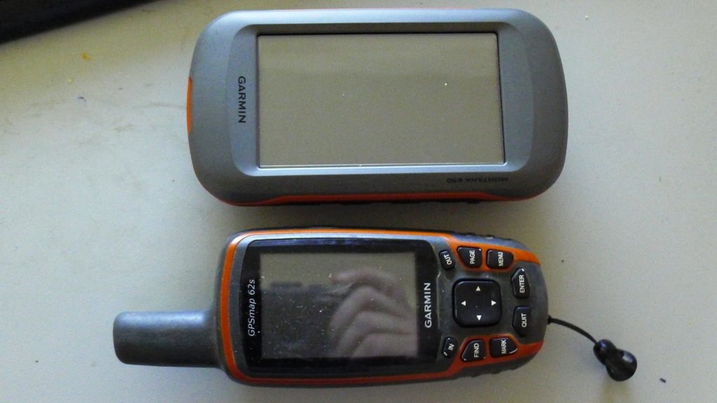
P1060777.jpg


P1060775.jpg


Beautiful sunlight-readable display

P1060773.jpg

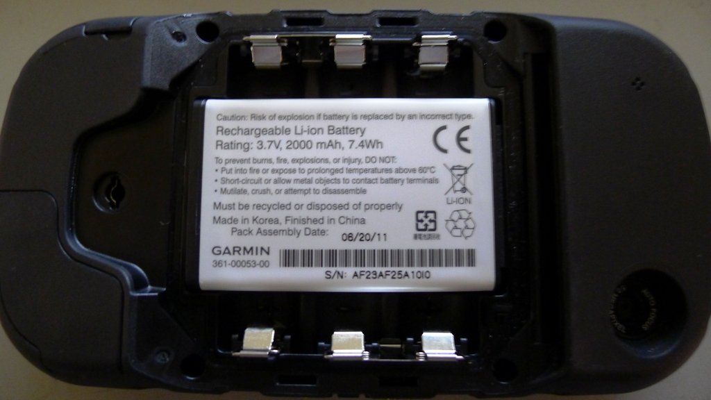
A real interesting feature is the ability to take either Garmin's proprietary rechargeable battery or AA batteries. the battery charges via 5.5 volt mini-USB cable - shame none of these units have the four jack 12 volt charger that was standard on the Garmin 60 csx as these mini-USB jacks all become loose with constant cycle vibration. You can see the 5MP auto-geotagging camera in the bottom right of the unit.
P1060769.jpg


Features that make this GPS intersting

1. Amazing 3D viewing of tracks and routes. The 650T even has some great contour lines


2. Newest superfast sofware and receiver

3. Huge 4" bright screen

4. 3GB internal memory

5. 5MP auto-geotagging camera


First impressions of dislikes

1. Very heavy - feels like mounted on a trail bike vibration maybe an issue

2. Only mini-USB external powersource jack - over time these always become a problem. (The 4 jack 12 volt charger on the Garmin 60 csx is excellent)

3. Doesn't seem to be the option to add additional fields to the main map, "Distance to next turn" as a field on the main map in immensely useful to have.
 
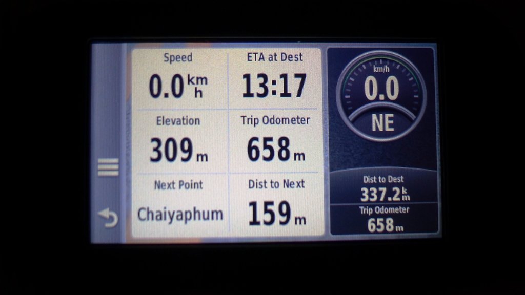
Mike Hohman, who also has just bought a Garmin Montana 600 series, may have already figured this out (I couldn't find it, Lone Ranger kindly spent 3 hours configuring it for me - Thankyou!) - There is the ability to config. a data field for distance to next turn, which is one of the most useful data feeds on a GPS (was looking like this function wasn't there for a while which was pretty sad).

Here is the data screen with the distance to next turn in the bottom center data field & the narrative name of the next wp (very useful for knowing where you are on a muli-point WP route) in the bottom left data field - This is a very cool GPS.

montana 650  data screen.jpg


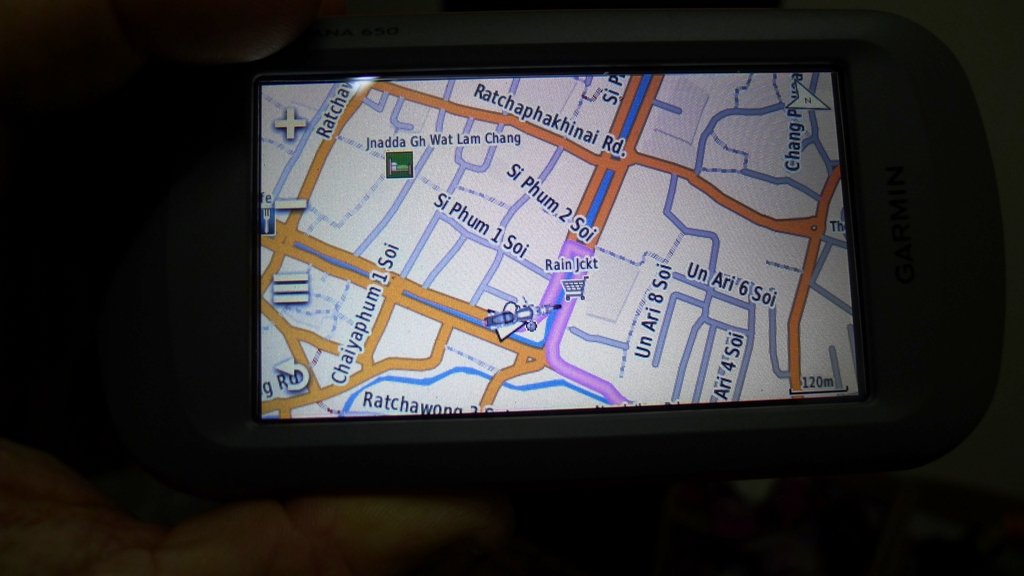
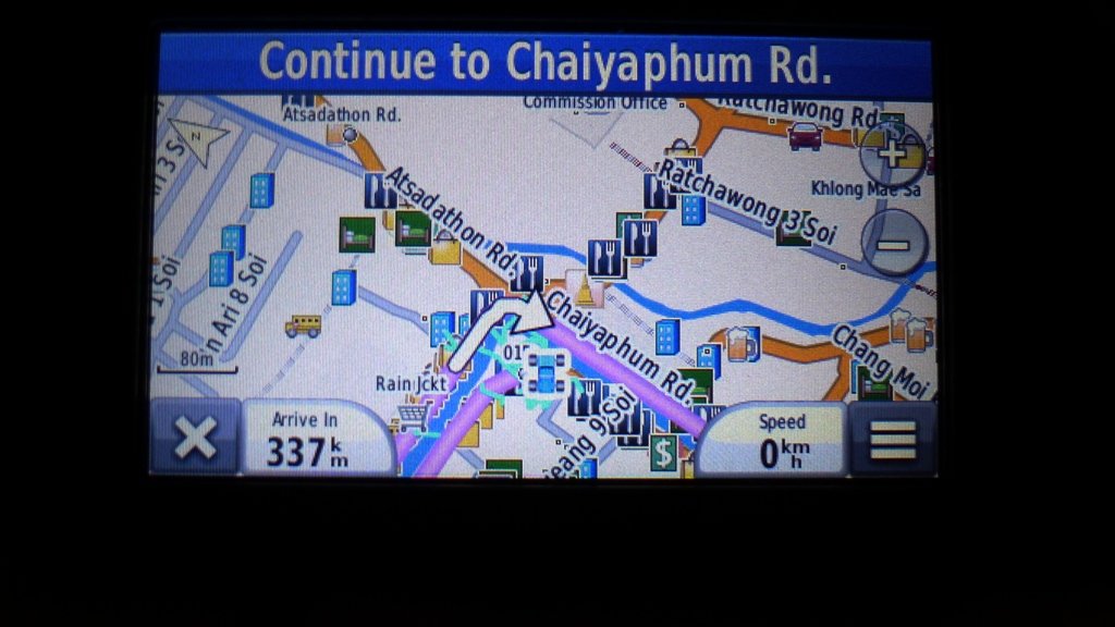
This is the main map screen on the Garmin Montana 650. Incredibly bright screen with distance to destination in the bottom left data field and speed in the bottom right data field. We've looked at every possible option and there doesn't seem to be the option to have distance to next turn as a data field on the main map page, only on the data page.


garmin montana 650 map.jpg
 
I had the Montana out on the trail yesterday, knocked around a bit, took 2 spills, and the Montana performed great, no glitches at all. And very easy to read, even in bright sunshine. And, it worked EASY with gloves. Just tap and go. This is one sweet device...
 
Hey phil

When you got your unit did it have any maps on it?

Did you just load up your map or the Thailand map as well?

Cheers Kevin
 
Just the world map....using sd cards with GPS maps of the Asian region for mapping

LED Kev said:
Hey phil

When you got your unit did it have any maps on it?

Did you just load up your map or the Thailand map as well?

Cheers Kevin
 
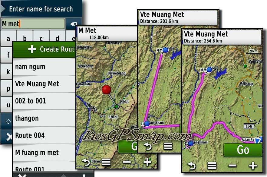
Montana " View route, and view elevation profile function.
Below is an example of route planned for next Weekend with Fuark and the local guys, Ride to Muang Met.

Find Cities"M Met"
"Go"
This is an easy way to make a route for planning, See distance in header box, 254ks.
route-review.jpg
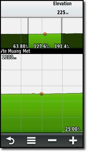
view the elevation profile, no surprise as this route runs along the Mekong river and North up a valley

elevation-plot.jpg
 
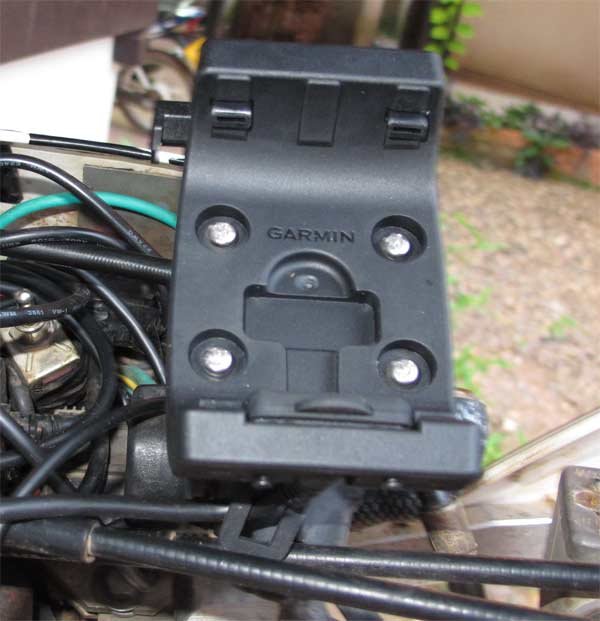
The Garmin Montana 600 series mount is here, looks pretty rugged, we'll be giving it a test pretty soon.


montana mount2.jpg
 
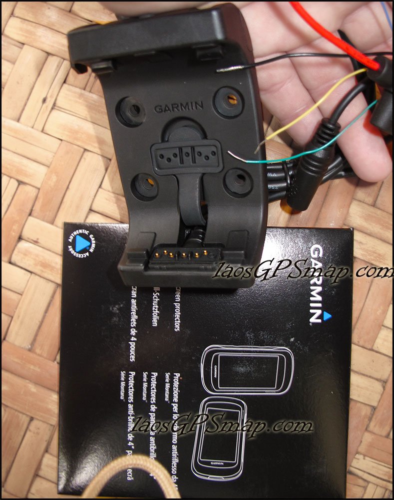
Photos of Garmins Amps mount.
bare wire connectors, Garmin includes 3 Screen savers in this kit!
mount-3.jpg
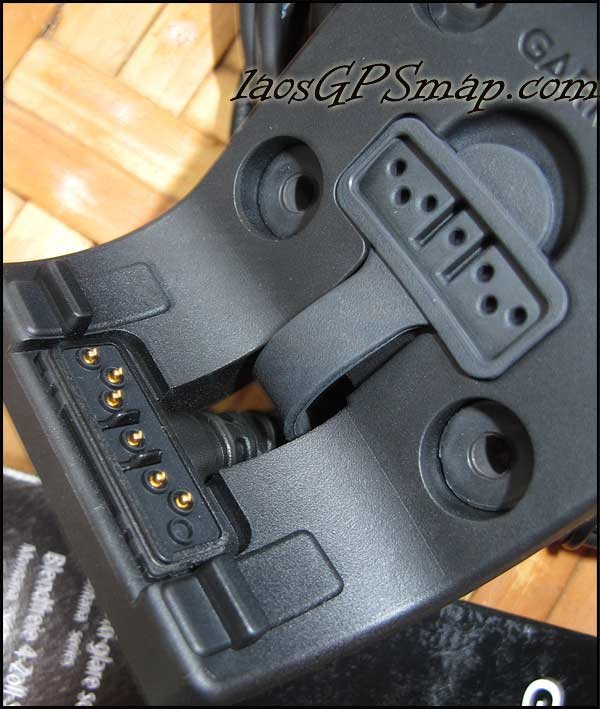
Close up of the spring loaded "gold" contacts, note the rubber boot to protect the contacts when the unit is not mounted. Fantastic Garmin Quality!
mount1.jpg
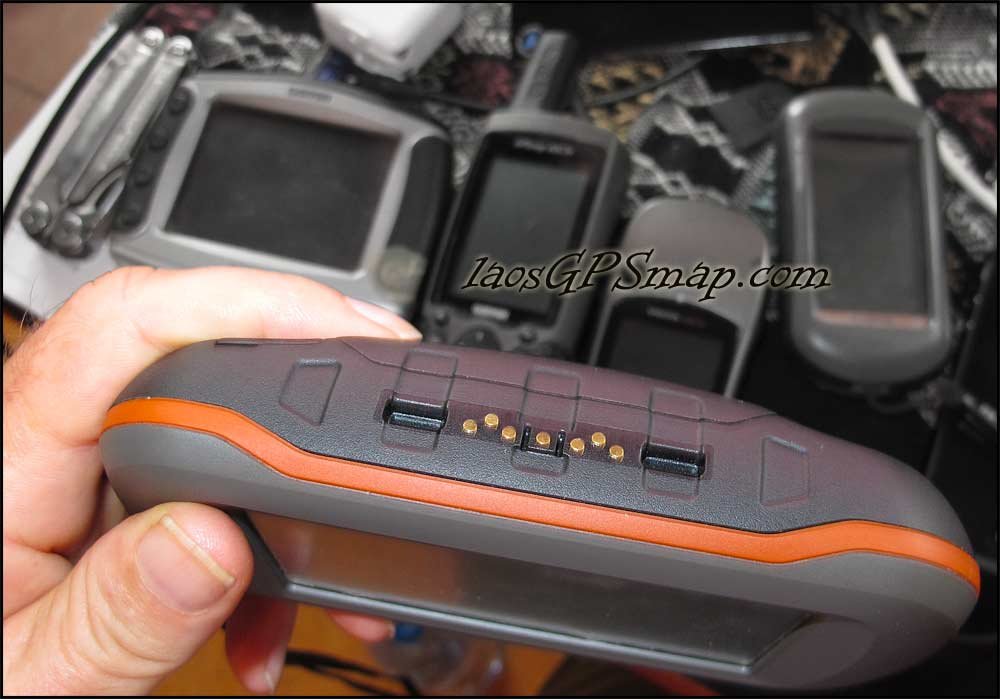
Bottom view of Montana with Gold contact points that match the Mount.
montana-mount.jpg
 
Ram mount for the Garmin Montana 600 series


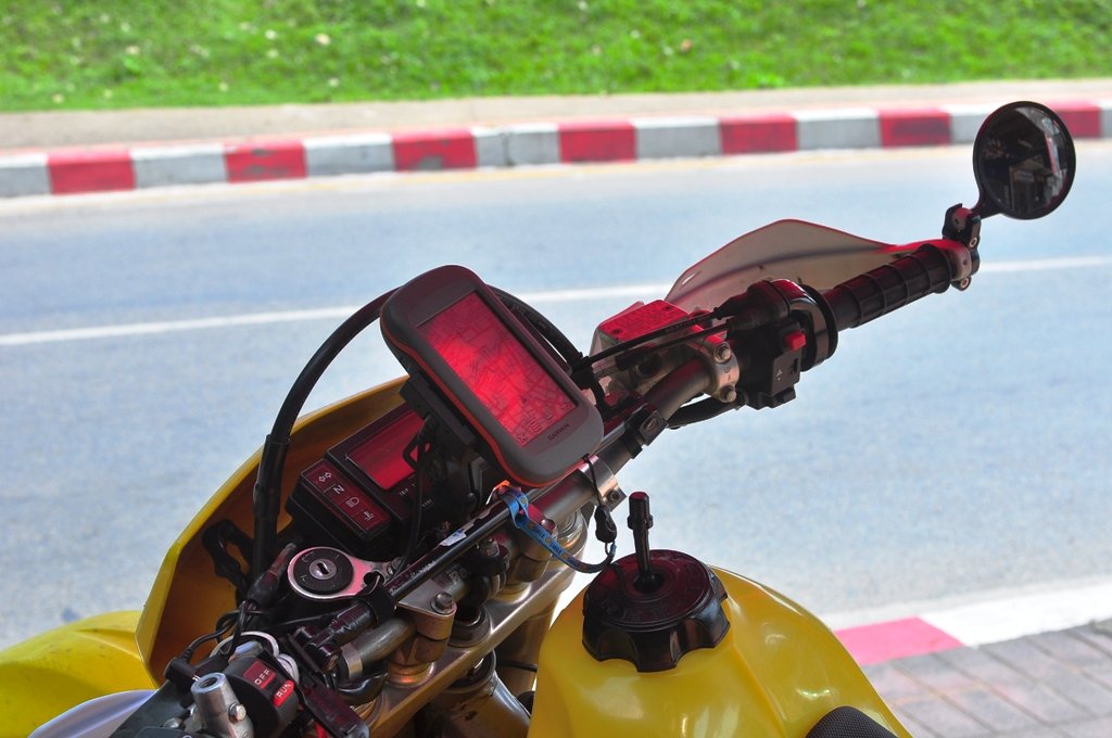
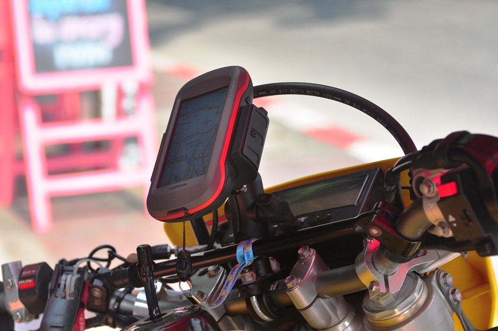
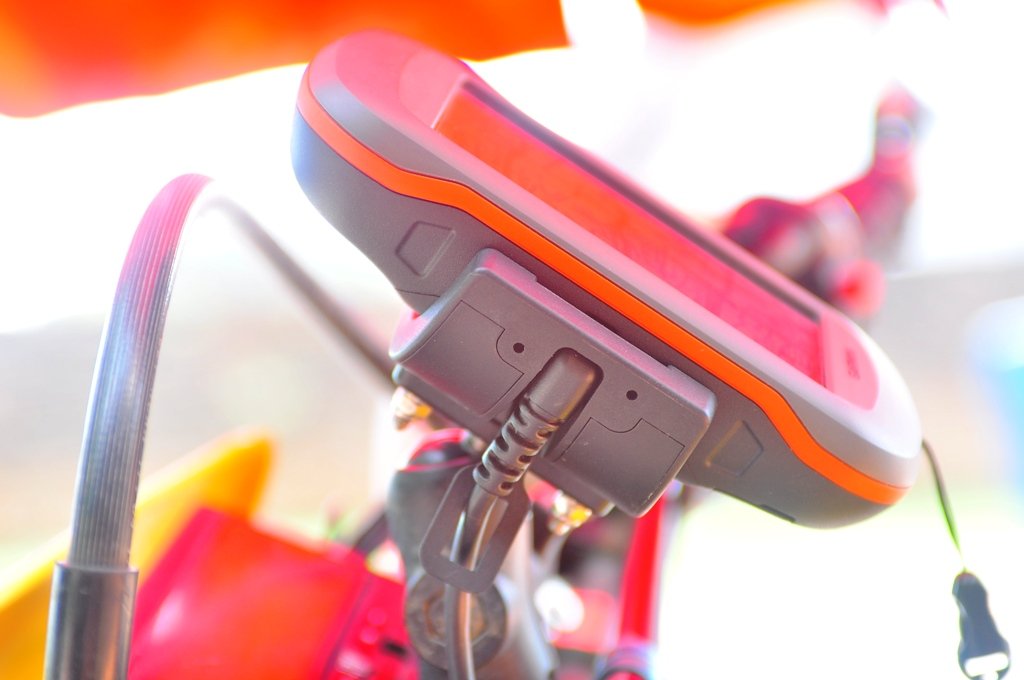
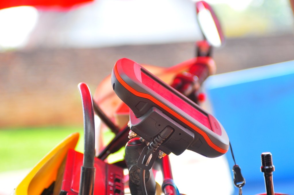
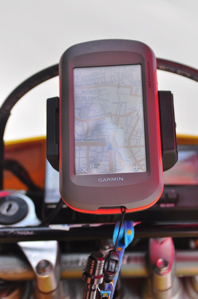
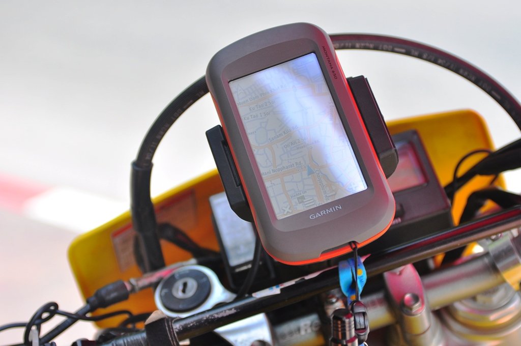
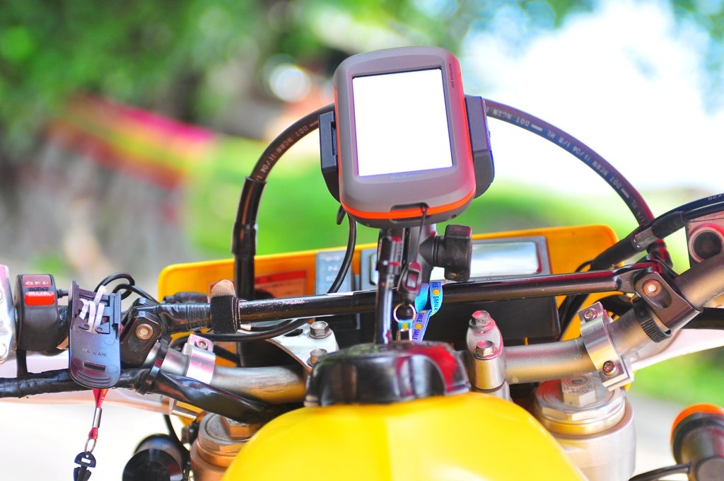
I've got the new ram mount for the Garmin Montana 600 series all installed on a Suzuki DRZ 400, including the 12V DC power source wired to the battery.


DSC_0269.JPG


DSC_0274.JPG


The power connector is a quality connection on the LHS with a lock and release mechanism, very well thought out


DSC_0278.JPG


DSC_0272.JPG


DSC_0275.JPG


DSC_0270.JPG
 

Attachments

  • DSC_0276.JPG
    DSC_0276.JPG
    299.1 KB · Views: 1,385
Chris ...im not currently shipping any GPS parts to Thailand.


You would be best off ordering from say GPScity online and having it shipped U.S post air, more chance of it sneaking through without duty.


Ktm Chris said:
Can you get any more Montana's at that price phil???
 
KTMphil said:
Ram mount for the Garmin Montana 600 series

Good for SM mode, but I can see the gps flying after 100m offroad with all the bamboo and other bushes in the tight trails :)
 
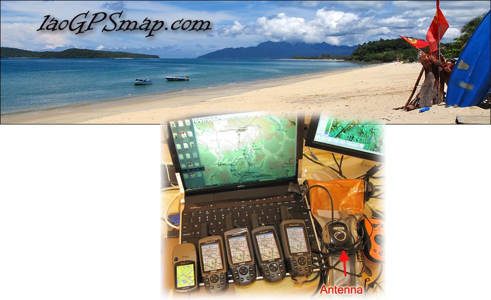
Chris we stock some Garmins along with mounts antennas, power cables and maps!
laosgpsmap.com.jpg

Max, The pictures don't do justice to that mount.
It is solid as a rock and it has a screw lock also!
Mount has a security screw at the top to prevent the eject button from working. When screwed down, the eject will not work and prevents the Montana from accidentally falling off. Security screw tool is also included along with screws needed to mount to the AMPS adapter. Headphone jack also allows you to connect headphones so you can hear driving instructions.

Once the screw lock is in place, your beloved GPS it will not go anywhere the bike does not. Another example of excellent Garmin Quality.
 

Attachments

  • Laosgpsmap.jpg
    Laosgpsmap.jpg
    150.4 KB · Views: 1,328
Hi Phil - if you can, I would be interested in getting one
 
Chris,
We currently stock,

Garmin Oregon 450
Garmin GPSmap 62s
Etrex
Garmin 60csx

Power cables
Ram mounts
Remote antennas
GPS maps

Pm if you are interested.
 
Until I can sort out my new off road GPS does any one know if you can load up a set of maps e.g. Phil's new map on a standard Garmin such as 1250.

I know these models have an off road function but have never seen them working
 
Kev any Garmin compatible GPS map on SD card will work in a Nuvi 1250


LED Kev said:
Until I can sort out my new off road GPS does any one know if you can load up a set of maps e.g. Phil's new map on a standard Garmin such as 1250.

I know these models have an off road function but have never seen them working
 
Thanks MM, It's for my bro, I will get him to have a look see...

Thanks old chap... :DD
 
This shows how awesome the Garmin Montana GPS display is, I've used this unit a lot now and am totally impressed with it


montana screen.jpg


The 3d view function looks pretty useful for trail riding havn't explored this yet. I think there maybe some 3D Laos GPS maps coming soon.

[VIDEO]http://www.youtube.com/watch?v=IAM28jyZAMs&feature=player_detailpage[/VIDEO]
 
BobS said:
For those using RAM mounts, they will have a cradle available for the Montana later this month.

http://www.gpscity.com/ram-mount-garmin-montana-600-series-cradle-ram-hol-ga46u.html

I have the RAMMount for the 600 series. The only issue I have is with vibration and that may be my motorbike, a Lifan 200.
With the Montana in the mount I had battery disconnect issues (solved with 2 pieces of double-sided tape placed on top of battery).
With no GPS in the mount I heard a really annoying rattle and it took me a while to notice the little roller bearing in the mount that was whizzing around at speed.
 
JB -- I've been using this wrap-around mount that midnight mapper got for me. I'm highly impressed with it, it even has a security screw that locks it tight to the mount.


file.php
 
That definitely looks like a sturdier mount for sure.

My RamMount has a cheesy wiring setup through the USB connection.
 
I just received my 650t. It came with preloaded Aus/NZ topo maps V3. $730 Aus with a $50 cash back from Garmin.
Also has the same mount that Phill, I just need a couple of different bits to mount it on the bike.
Charged it up then left it on straight away with 50% backlight always on & it went for 18 1/2 hours.
Haven't had a chance to use it on the trails yet, to see how long the battery last while it's in use, but it sure does look pretty.
 

Attachments

  • P1010666.JPG
    P1010666.JPG
    120.3 KB · Views: 768
Congrats there pounce
This Montana is an stunning piece of equipment we just received a shipment and they are going out the door fast.
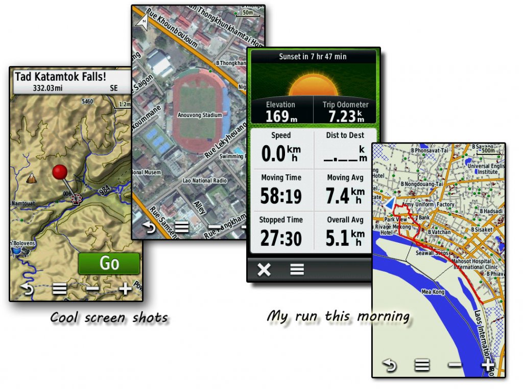
Here is a sample of the functionality of these units.

montana-shots.jpg
 
KTMphil said:
Tom said:
How much are they, if you don't mind me asking?


Depending on where you buy them in the world, but around USD$ 500
Hi Phil.

Yes, I've checked them out in other places, it was just that Midnitemapper said he had received a shipment and they were going fast. I was interested in his price...
 
OK, question time on some of the features of the Montana 650 that I can't work out on a couple of things.

[s:e1aqsw83]1. On the GPSmap60, you were able to have all the tracks you've done show on the map all the time. Once the map has "archived" itself, the only way you can see it is to go Track manager - Archived Maps - Track You Want - View map. I want previous tracks to show on the map all the time so when trail riding, if I'm trying to take a shortcut through the scrub, I want to see where I've been before.
Is it that I have to remember to "Save Current Track" before it archives itself?
If I forget to Save it, can I get it to somehow show all the time maybe by transferring it from one folder to another via the Computer?
As I haven't saved anything yet, does it give you the option to "Save to GPS" or "Save to Memory Card" too?[/s:e1aqsw83]
I sussed this one out, I went for a ride on the pushbike & experimented. Yes, you have to "Save" the track so it will always show on the map & if you forget, you can go into the folders via the PC & copy the tracks over.

2. Resetting Trip Computer.
On the 60 series, you were able to designate which fields to reset. Say I'm doing a 3 day ride & on the Compass page I want a 3 day total of kilometres on the Compass Trip Odometer but on the Trip Computer I only want a daily distance on it's Trip Odometer. If I reset the Trip Computer, the Compass also resets? Is there a way to do designate which fields are reset?

3. Actual Distance.
I've used it twice now on 2 different rides & the Trip Distance on both rides according to the GPS was around 10 kilometres longer than the average of all the other blkes speedo distances. At around the 25klm mark yesterday, the GPS showed we'ld done about 34klm's. At the end of the ride, the bike said we'ld done 78 odd klm's while the GPS said about 88. Some how it's adding 10klm's to the trip from the start? I need to do more research on this (ride more) but has anyone else noticed such a difference in klm's recorded between GPS & bike?

Apart from these things, (which may be my fault due to numptyness & lack of skills) this is an awesome piece of kit. If anyone is going to spend money on a GPS, it's the one to get. If you can't afford one of these, save your money for a bit longer instead of getting an inferior one.
 
Pounce, yes that Montana has many features ,menus and options.
To comment on your actual distance, keep in mind the GPS is tracking all the time when you park in that garage for lunch the receiver may get some errant signals and start plotting a range of points a few or 10 or more meters from your location. While you are having lunch you may "rack up" a few extra kilometers due to this splatter. If you really need to have the exact number, it is necessary to go and edit your tracks, and work the total from there.
 
The GPS stuff is the same across the models as far as I know.
The differences are:

The 600 is the base model.
The 650 has the camera.
The 650t has Topo maps pre installed.

Has anyone go an answer to Question 2 above? :hmm
 
As far as resetting the trip computer, looks like it is not possible to select and reset individual parameters.
If a running total is needed I usually do a "screen capture of the days statistics, moving time, stopped time kilometers ect. I record this each day. or you can just take a picture of the screen with your handheld camera.

I like the 650 model myself, the amps mount just fantastic! Just can't see going for the 600 to save $50 on the camera.
As for topo I prefer to generate my own hi resolution DEM.
 
That screen shot of the days trip computer is an excellent idea, never thought of that.

I can still use another Amps mount if you have stock.

Midnitemapper said:
As far as resetting the trip computer, looks like it is not possible to select and reset individual parameters.
If a running total is needed I usually do a "screen capture of the days statistics, moving time, stopped time kilometers ect. I record this each day. or you can just take a picture of the screen with your handheld camera.

I like the 650 model myself, the amps mount just fantastic! Just can't see going for the 600 to save $50 on the camera.
As for topo I prefer to generate my own hi resolution DEM.
 
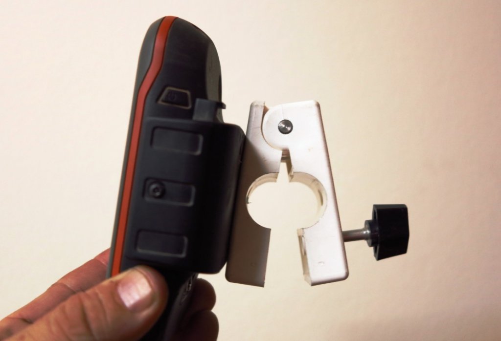
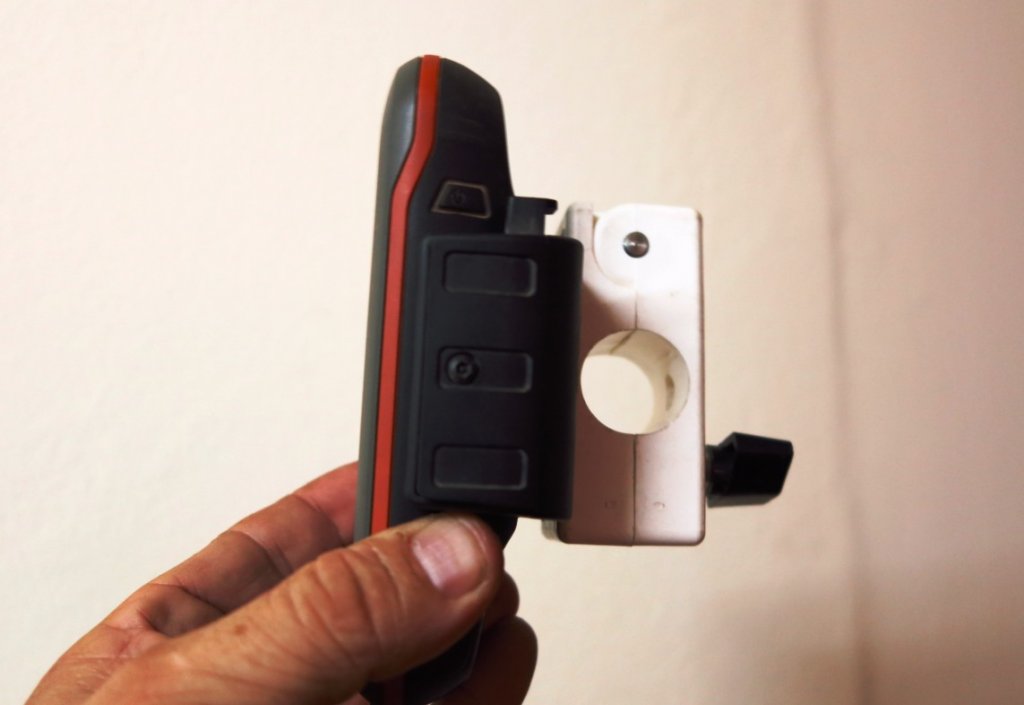
The leverage from the ram mount arm create too much vibration off-road with my Garmin Montana 650, so i've custom made a clamp-on mount for the Montana cradle.

It mounts directly on the handle bar and can be switched from bike-to-bike in seconds.


montana mount 1.jpg


montana mount 2.jpg
 
Back
Top Bottom