Captain_Slash
Community Manager
- Joined
- Jun 28, 2011
- Bikes
- BMW 310GS Honda Wave 125 Honda MSX 125
The route 1317, 5127, 5123, 2034, 1229, 2031
Total distance 183 km


First stop was the Huai Lan reservoir which I thought was very low, was the rainfall exceptionally low this year around Chiang Mai?

Look how far down the water level is


Next stop was the Mae Pha Haen reservoir

Not as far down from capacity as the last one but not full either


I wonder whats cooking in there


I put a few new dirt tracks on the map today.
Todays dirt/unpaved co ordinates were
N18.74413 E099.24005 to N18.73901 E099.23859
N18.74267 E099.23792 to N18.74516 E099.25591
N18.66113 E099.29042 back to N18.66113 E099.29042
N18.63400 E099.28533 back to N18.63400 E099.28533
N18.59458 E099.28703 back to N18.59458 E099.28703
N18.60782 E099.27695 to N18.61010 E099.27460


There was quite a stench around here and I was guessing it was either a pig farm or a sewage works


Once I turned the engine off I could hear the pigs squealing, this pig farm at N18.74077 E099.25356 was only about 500 metres from the 1229 but its a dead end so I had to turn around to find a way through


This one is pissing into the water which I am sure they will all drink


The 1229 has some fantastic curves and its recently been resurfaced with this lovely asphalt


Now off on this unmapped track to find a reservoir that I can see on my GPS map


An unknown reservoir

With a single track running to the right, I didnt bother following it


A slight overflow on this one


Exploring another unmapped dirt track


After meeting this person I ride on a bit but it was very wet and muddy going through the woods and my bald rear tyre wasnt coping with it very well so I turned back, how far the track went is something to find out another day


I take a paved road off the 2031 that turns to dirt and at the tracks end I find this unknown reservoir at N18.59943 E099.32111


This one has more water overflowing out of it


A few water crossings now


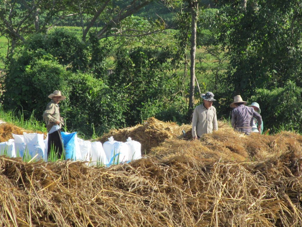
My new Canon camera that cost $100 is not bad, the above photo is without zoom

With zoom

Zoomed in a bit more, it had used all its optical zoom and was on digital too now


The end of another track, beautiful scenery out here today


Gai Laila for breakfast and dinner today, 40 Baht for this tasty dish
Total distance 183 km


First stop was the Huai Lan reservoir which I thought was very low, was the rainfall exceptionally low this year around Chiang Mai?

Look how far down the water level is


Next stop was the Mae Pha Haen reservoir

Not as far down from capacity as the last one but not full either


I wonder whats cooking in there


I put a few new dirt tracks on the map today.
Todays dirt/unpaved co ordinates were
N18.74413 E099.24005 to N18.73901 E099.23859
N18.74267 E099.23792 to N18.74516 E099.25591
N18.66113 E099.29042 back to N18.66113 E099.29042
N18.63400 E099.28533 back to N18.63400 E099.28533
N18.59458 E099.28703 back to N18.59458 E099.28703
N18.60782 E099.27695 to N18.61010 E099.27460


There was quite a stench around here and I was guessing it was either a pig farm or a sewage works


Once I turned the engine off I could hear the pigs squealing, this pig farm at N18.74077 E099.25356 was only about 500 metres from the 1229 but its a dead end so I had to turn around to find a way through


This one is pissing into the water which I am sure they will all drink


The 1229 has some fantastic curves and its recently been resurfaced with this lovely asphalt


Now off on this unmapped track to find a reservoir that I can see on my GPS map


An unknown reservoir

With a single track running to the right, I didnt bother following it


A slight overflow on this one


Exploring another unmapped dirt track


After meeting this person I ride on a bit but it was very wet and muddy going through the woods and my bald rear tyre wasnt coping with it very well so I turned back, how far the track went is something to find out another day


I take a paved road off the 2031 that turns to dirt and at the tracks end I find this unknown reservoir at N18.59943 E099.32111


This one has more water overflowing out of it


A few water crossings now


My new Canon camera that cost $100 is not bad, the above photo is without zoom

With zoom

Zoomed in a bit more, it had used all its optical zoom and was on digital too now


The end of another track, beautiful scenery out here today


Gai Laila for breakfast and dinner today, 40 Baht for this tasty dish


