crs
Senior Member
Seemed like we were going to get a few days of dry weather, so thought I'd have a try at a Chiang Rai - Chiang Mai run before the rains mess things up…
Good route, on the whole - the only bummer is the amount of road you have to cover to get into/out of Chiang Mai. (Looking at the landscape from the 1001/118, I'd be surprised if there's not some excellent tracks hiding in there that might be used instead - but not practical for me to go exploring all that way beforehand.) Also, some of the grading work north of the 1150 spoilt what could have been nice riding in great scenery - but, when they've finished the job, it should be a good, fast joiner.
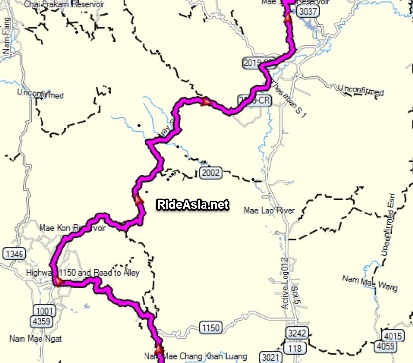
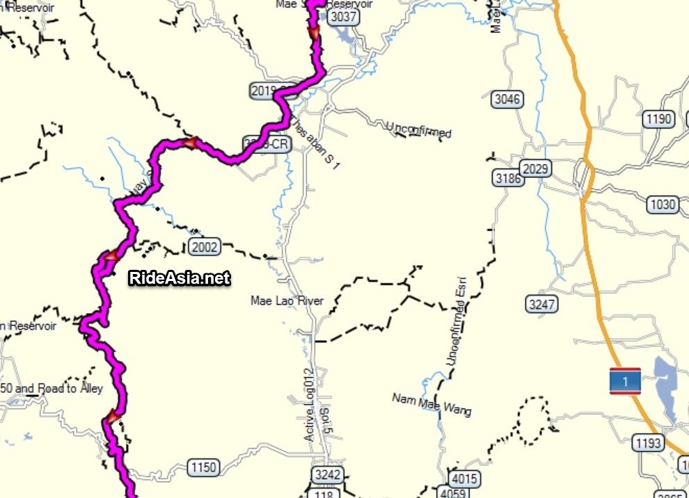
It's all on this big map: LINK - well down to the 1150, the rest is straightforward on already mapped tracks. The light green line is the way I went down - the darker green line just shows any different ways I came back.
(I used OCM for the background to make this map - I've put all the tracks up to OCM/OSM but it often takes a week or so before they show so some of the tracks and village names are missing. I'll redo in a couple of weeks.)
After leaving CR, the first off road part starts here, at a tea plantation near the Akha Hill Resort:
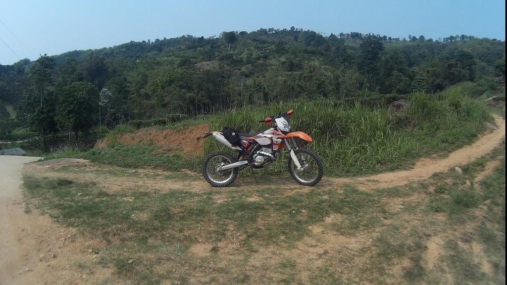
The track (double, bit steep and rutted) is shown in this vid taken when I rode it a few weeks back with Jim (with a bit of Floyd muxing as the mic was turned off):
After that, there's a bit of surfaced road between villages and a wide, graded dirt track - which isn't bad for a burn, but they are surfacing it from the far end up to just near where you turn off for the next trails section - which takes you down to Huai Khrai. Double with a bit of single, nice views - I like it.
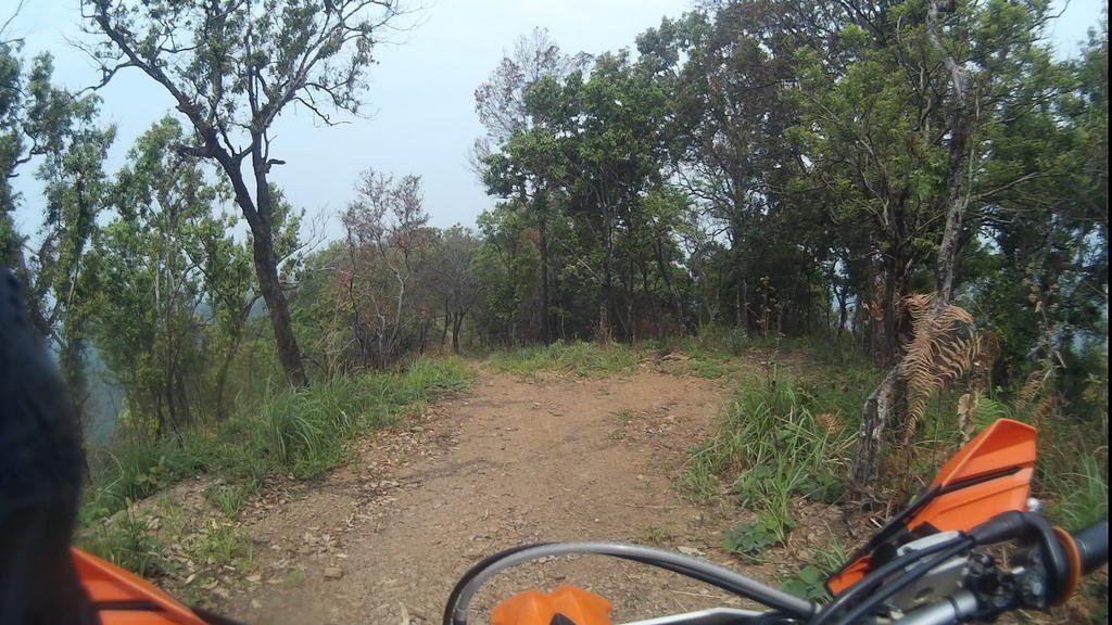
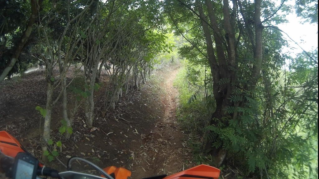
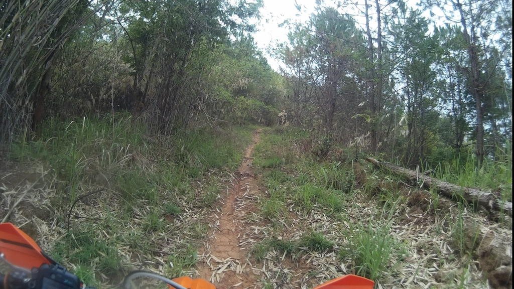
You can get drinks, snacks, food, petrol at Huai Khrai - then you need to ride a bit of surfaced south (I explored very hard to find an offroad alternative but couldn't) down towards the Mae Suai reservoir. I at least found trails off to the south west last week which you can use as a joiner to bring you out on the 109 and skip some road. Vid of part of this, taken on the return here:
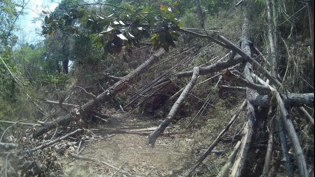
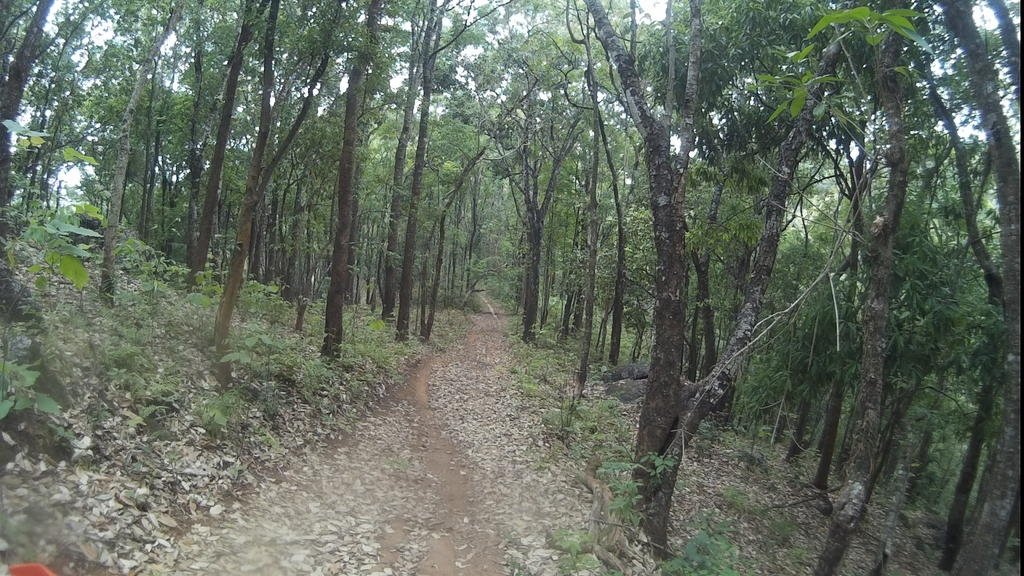
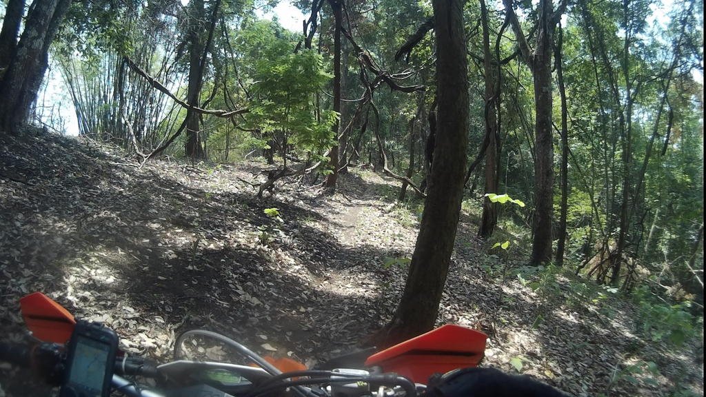
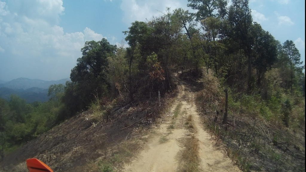
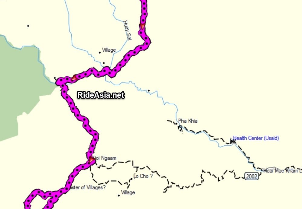
Petrol, drinks, food on the 109 then sealed roads south past the Chiang Rai Winery(?) to the 3259; west for a bit on graded till you can get back off road and head over the hills continuing south. There's a couple of ways you can do this - a few using different tracks to take you to the top then on from there (some a little easier then others) or there's a long steep, tricky single track further west that's good - but not if you're trying to be quick. Some pics for the way I went below- the first bit is steep but then it's a real nice trail. (Although the early rainy season winds meant the odd windfall problem - and I had to get the machete out...)
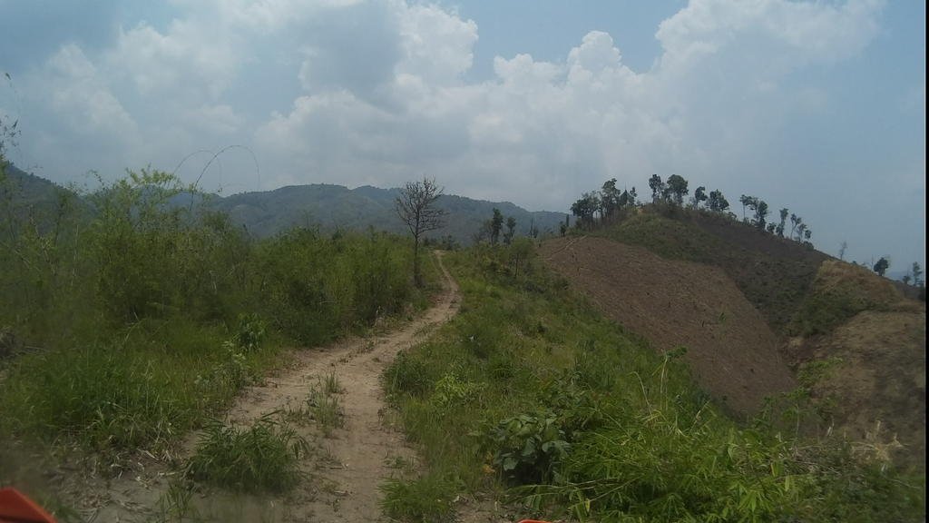
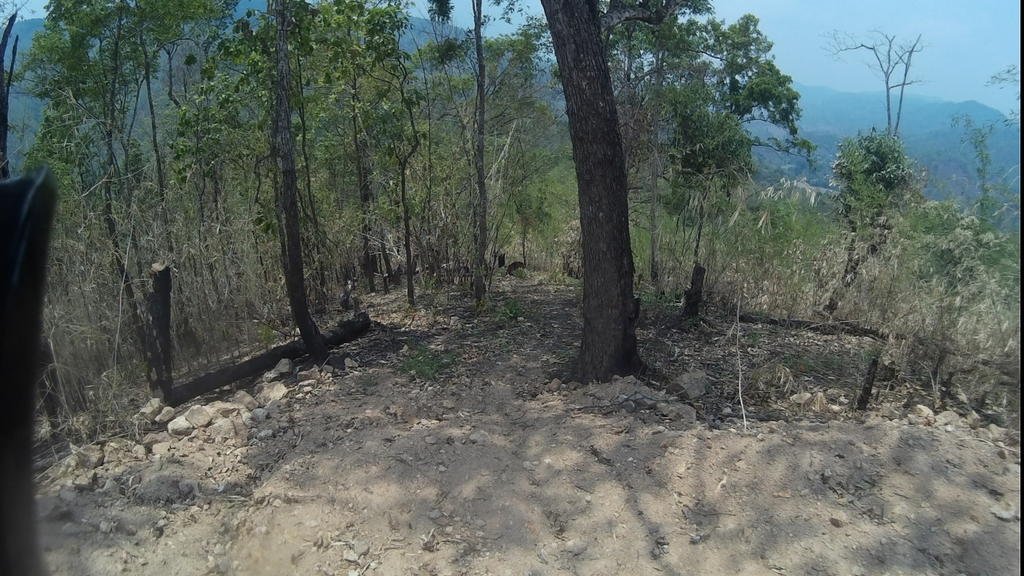
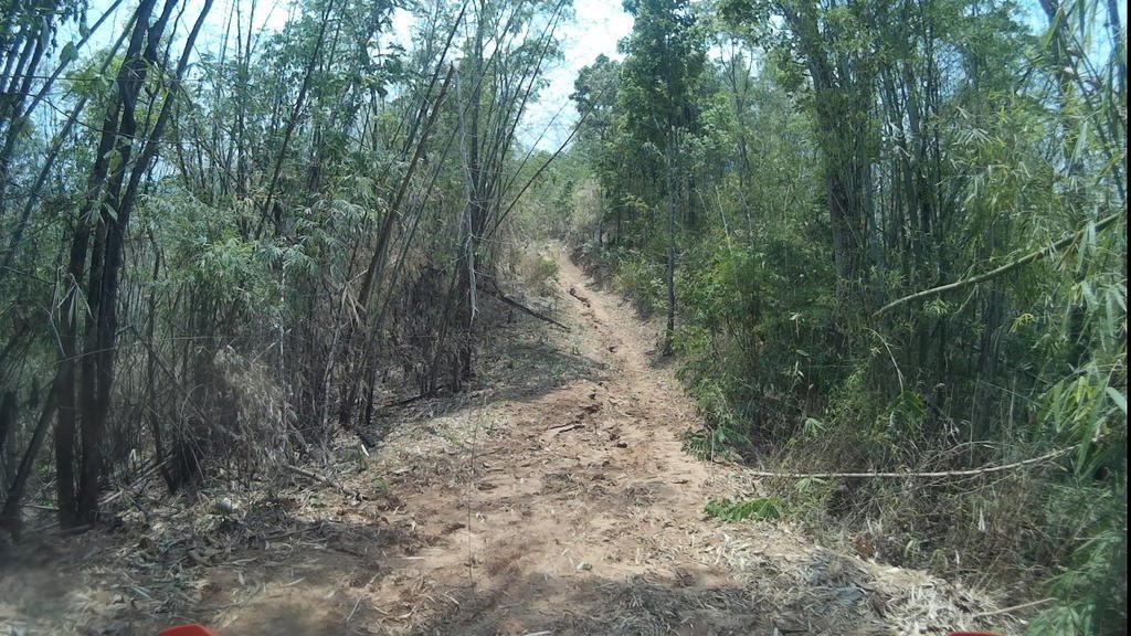
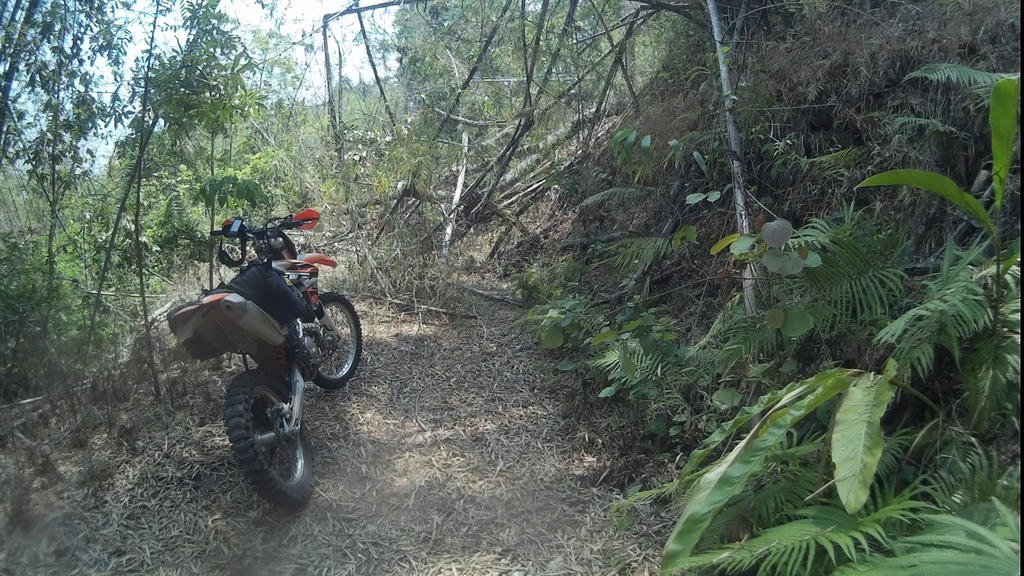
Here's a vid taken coming back the other way of most of it. (Sorry but there's a loud noise a couple of times when something gets stuck flapping by the mic - goes away each time after a few minutes.)
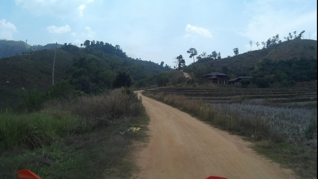
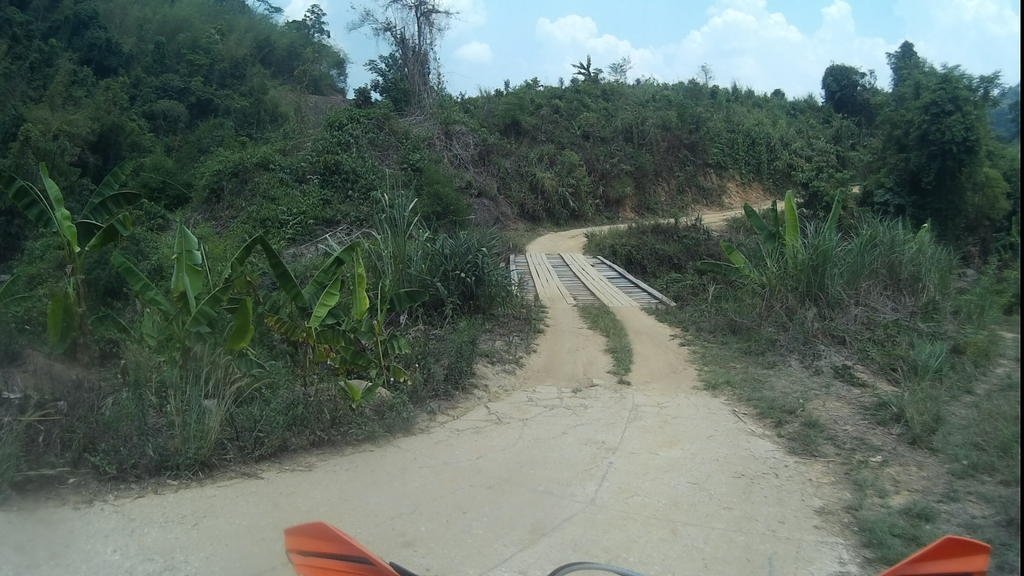
After getting over the hills you come out on to tracks like this:
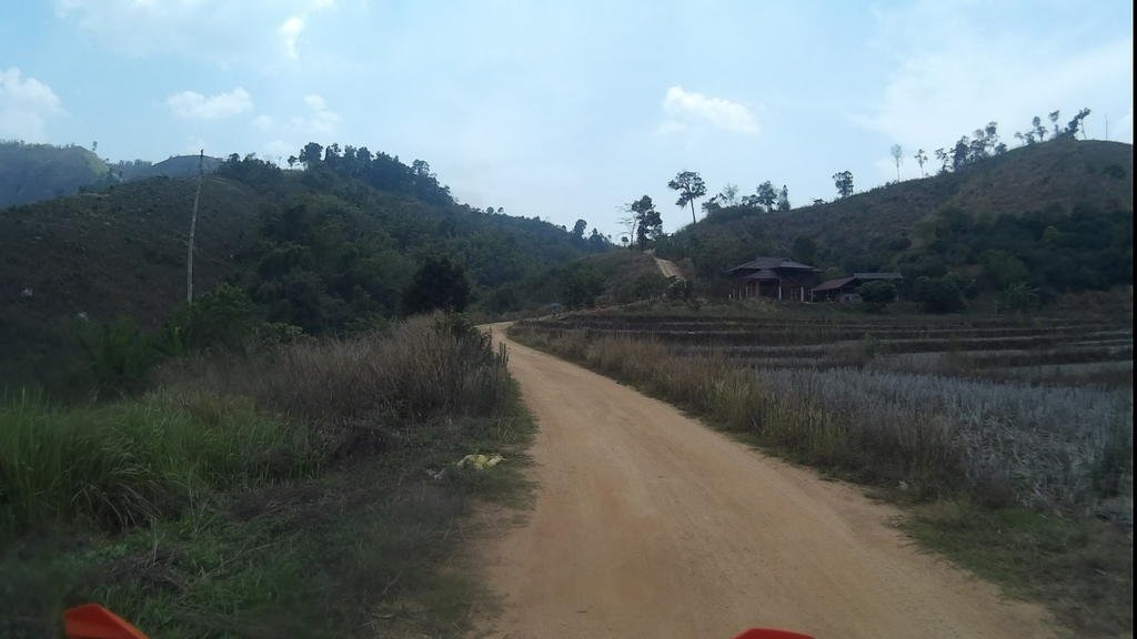
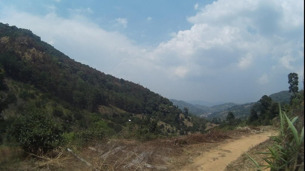
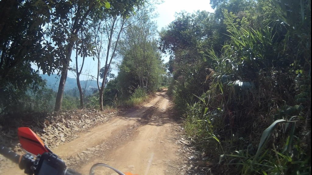
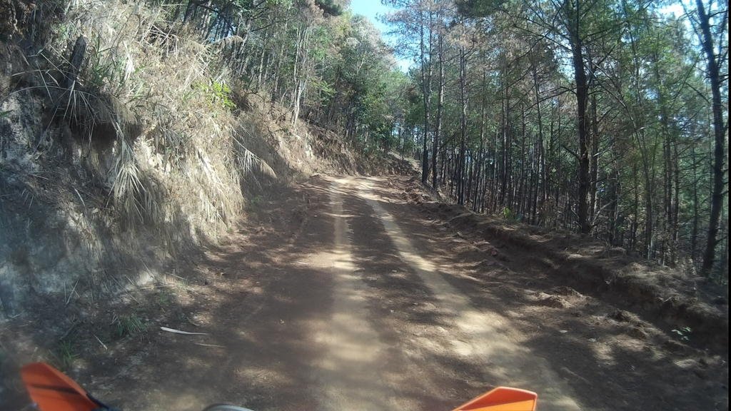
But there's grading work in places (sign of the times):
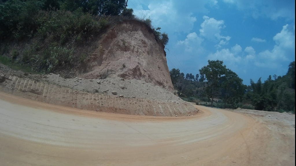
If, after the work's finished, it ends up looking like this, I won't mind... But right now it's a dusty, hacked up work site for a good stretch.
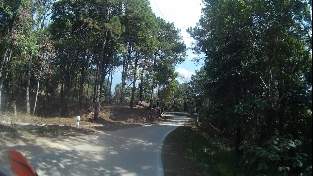
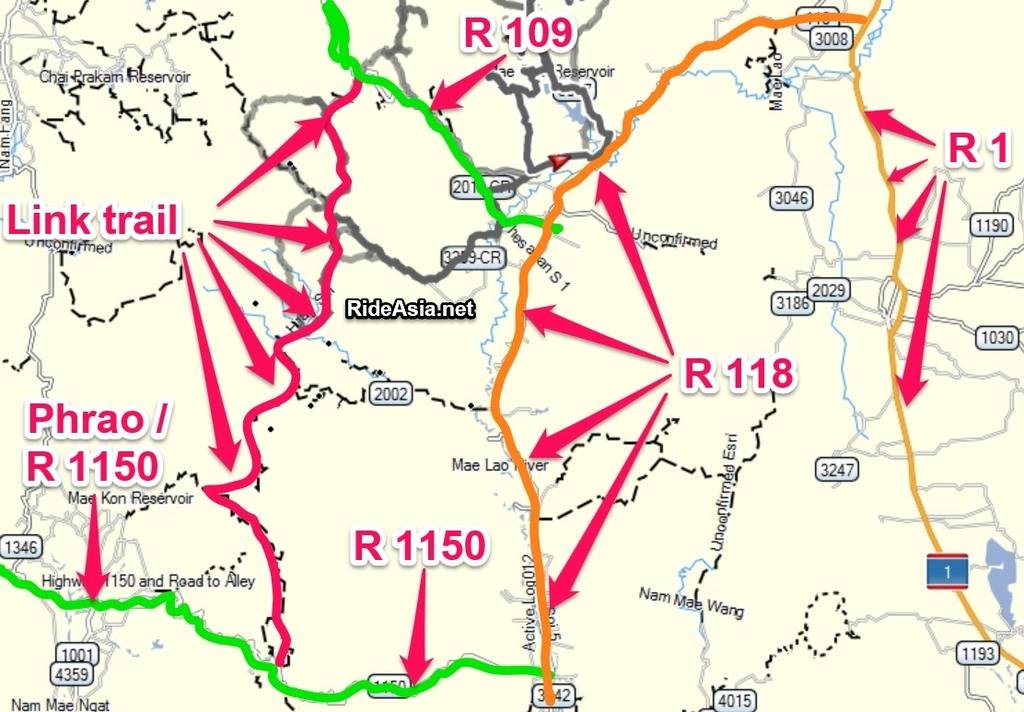
Then down to the 1150, where you can get drinks, food, petrol... You can go the alternative way, via Phrao - which I did on the way back. Obviously more food choice in Phrao, and accomodation if you want to stay over - it didn't really take any longer as, with all the current grading work, the deep dust makes it slow going the more direct route. (Though that will change when the work's finished.) The road north east from Phrao is mostly well used, graded double track. Bit boring but better then the other way at the minute.
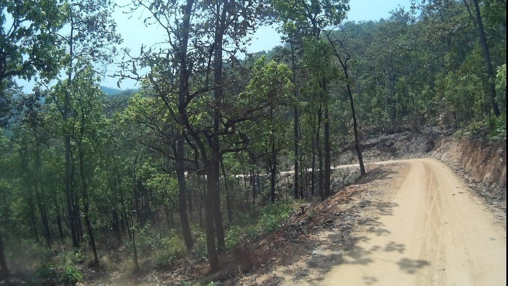
South of the 1150, it's nice easy going trails. Good scenery and interesting enough tracks which you can do pretty fast. Lots of little hamlets - reminded me of Laos. Surprised to see this lack of development so close to CM. Some of the track is surfaced near the villages and on steep sections, but the majority is dirt. You could do this in a 4x4 fine.
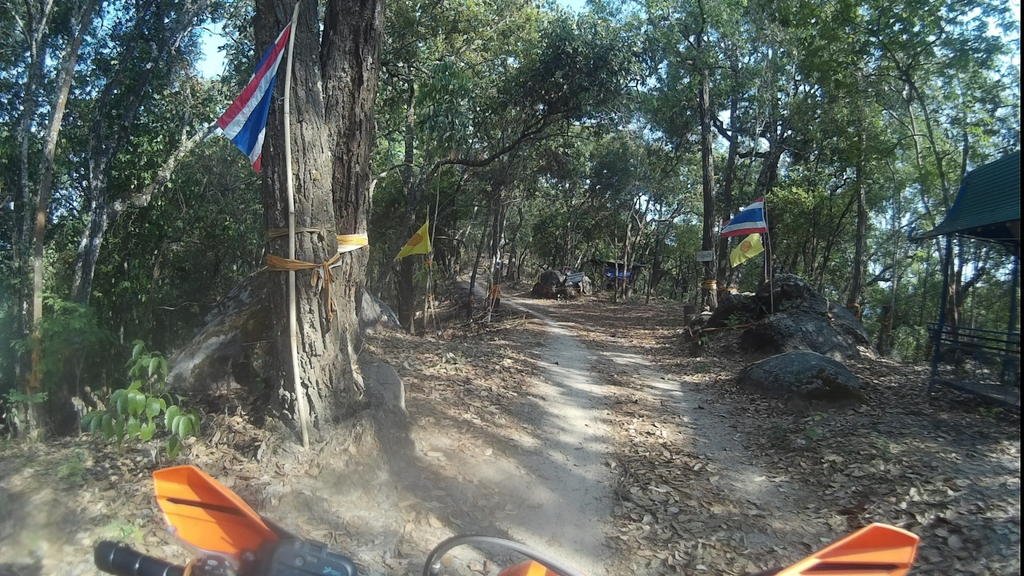
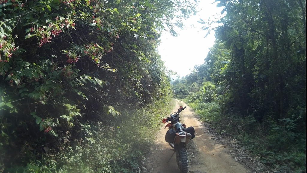
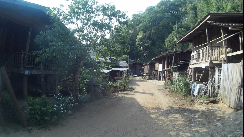
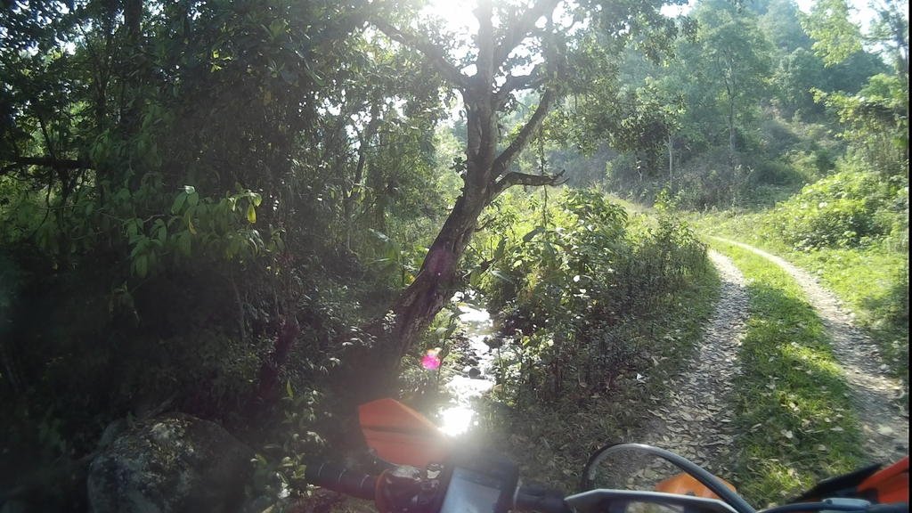
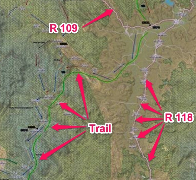
Then you can either choose to go down to the 118 and into CM or over to the 1001 and in that way. The track over to the 1001 is OK, but not so much fun as previous due to more use. The 118 way is faster some -which is how I went on return. Real shame there's not better offroad routes to get you closer to CM... Unfortunately, the drive in or out of CM on either the 1001 or 118 is a pain in the ass - literally for me with my cut-down seat.
On the return the next day, like mentioned, I checked out going via the 118 and Phrao. The only other difference was nearer to CR when I saw dark clouds on the horizon and then it started to rain, so I chose a quicker, easier route back to CR from Huai Khrai. Still not bad trails though.
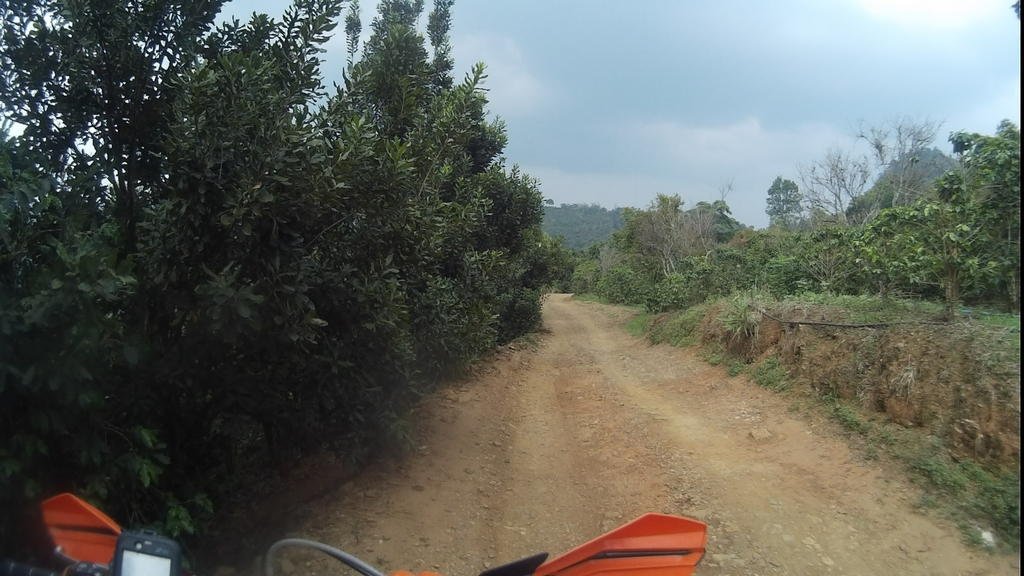
On the way down I covered 295k in 9 hours 30 minutes (7.2 hours moving time) and on the way back up it was 280k in 7 hours 50 minutes (6.4 hours moving time).
On the map you can see 'stops'. (The stops not marked are CR, CM, Phrao and where trails met the 1001 and the 118.) From these, you can figure how long it took to cover various parts of the route.
CR - 08.50
Stop 1 - 10.50
Stop 2 - 11.50
Stop 3 - 13.45
Stop 4 - 15.35
join 1001 - 17.20
CM - 18.25
CM - 08.15
exit 118 - 09.15
Stop 4 - 10.45
Phrao - 11.20
Stop 3 - 12.40
Stop 2 - 14.00
Stop 1 - 15.00
CR - 16.00
Here's the gpx for CR>CM and CM>CR.
View attachment CMtoCR.gpx
View attachment CRtoCM.gpx
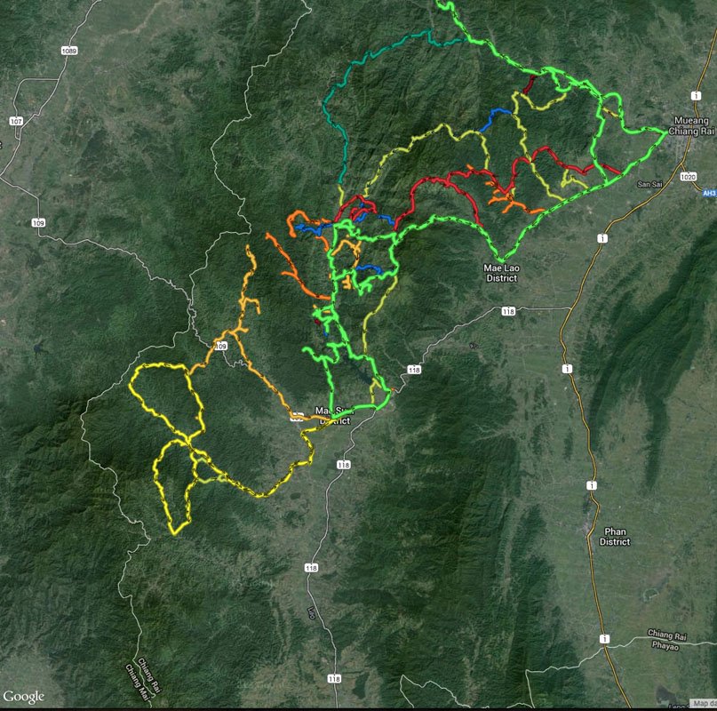
Also, here's a big GPX mess for all the exploring work I did. (Basecamp should open it - I think. Auke, let me know if you want more details, the single gpx tracks, whatever.) There's plenty of roads and previously mapped tracks amongst this but also quite a bit of unmapped. Note,some of this is goat tracks / rabbit runs leading to nothing ridable- just as a warning. If you view it all you can see the many places where I nearly made joiners to allow a route, but no go. (Trust me, I really tried - much getting stuck, etc.) Found some quality single track - shame I couldn't make a route out of it.
View attachment mess.gpx
As mentioned, I've added all the new tracks (cleaned up and edited to suit) on OSM/OCM already... They should all show in a week or so.
(I prefer the elevation mapping on OCM and the bilingual naming of villages but OSM differentiates track types better. E.g., I've marked some stuff from my exploring as footpaths and these show differently on OSM - but not on OCM.)
Good route, on the whole - the only bummer is the amount of road you have to cover to get into/out of Chiang Mai. (Looking at the landscape from the 1001/118, I'd be surprised if there's not some excellent tracks hiding in there that might be used instead - but not practical for me to go exploring all that way beforehand.) Also, some of the grading work north of the 1150 spoilt what could have been nice riding in great scenery - but, when they've finished the job, it should be a good, fast joiner.
It's all on this big map: LINK - well down to the 1150, the rest is straightforward on already mapped tracks. The light green line is the way I went down - the darker green line just shows any different ways I came back.
(I used OCM for the background to make this map - I've put all the tracks up to OCM/OSM but it often takes a week or so before they show so some of the tracks and village names are missing. I'll redo in a couple of weeks.)
After leaving CR, the first off road part starts here, at a tea plantation near the Akha Hill Resort:

The track (double, bit steep and rutted) is shown in this vid taken when I rode it a few weeks back with Jim (with a bit of Floyd muxing as the mic was turned off):
After that, there's a bit of surfaced road between villages and a wide, graded dirt track - which isn't bad for a burn, but they are surfacing it from the far end up to just near where you turn off for the next trails section - which takes you down to Huai Khrai. Double with a bit of single, nice views - I like it.


You can get drinks, snacks, food, petrol at Huai Khrai - then you need to ride a bit of surfaced south (I explored very hard to find an offroad alternative but couldn't) down towards the Mae Suai reservoir. I at least found trails off to the south west last week which you can use as a joiner to bring you out on the 109 and skip some road. Vid of part of this, taken on the return here:
Petrol, drinks, food on the 109 then sealed roads south past the Chiang Rai Winery(?) to the 3259; west for a bit on graded till you can get back off road and head over the hills continuing south. There's a couple of ways you can do this - a few using different tracks to take you to the top then on from there (some a little easier then others) or there's a long steep, tricky single track further west that's good - but not if you're trying to be quick. Some pics for the way I went below- the first bit is steep but then it's a real nice trail. (Although the early rainy season winds meant the odd windfall problem - and I had to get the machete out...)


Here's a vid taken coming back the other way of most of it. (Sorry but there's a loud noise a couple of times when something gets stuck flapping by the mic - goes away each time after a few minutes.)
After getting over the hills you come out on to tracks like this:


But there's grading work in places (sign of the times):

If, after the work's finished, it ends up looking like this, I won't mind... But right now it's a dusty, hacked up work site for a good stretch.

Then down to the 1150, where you can get drinks, food, petrol... You can go the alternative way, via Phrao - which I did on the way back. Obviously more food choice in Phrao, and accomodation if you want to stay over - it didn't really take any longer as, with all the current grading work, the deep dust makes it slow going the more direct route. (Though that will change when the work's finished.) The road north east from Phrao is mostly well used, graded double track. Bit boring but better then the other way at the minute.

South of the 1150, it's nice easy going trails. Good scenery and interesting enough tracks which you can do pretty fast. Lots of little hamlets - reminded me of Laos. Surprised to see this lack of development so close to CM. Some of the track is surfaced near the villages and on steep sections, but the majority is dirt. You could do this in a 4x4 fine.


Then you can either choose to go down to the 118 and into CM or over to the 1001 and in that way. The track over to the 1001 is OK, but not so much fun as previous due to more use. The 118 way is faster some -which is how I went on return. Real shame there's not better offroad routes to get you closer to CM... Unfortunately, the drive in or out of CM on either the 1001 or 118 is a pain in the ass - literally for me with my cut-down seat.
On the return the next day, like mentioned, I checked out going via the 118 and Phrao. The only other difference was nearer to CR when I saw dark clouds on the horizon and then it started to rain, so I chose a quicker, easier route back to CR from Huai Khrai. Still not bad trails though.

On the way down I covered 295k in 9 hours 30 minutes (7.2 hours moving time) and on the way back up it was 280k in 7 hours 50 minutes (6.4 hours moving time).
On the map you can see 'stops'. (The stops not marked are CR, CM, Phrao and where trails met the 1001 and the 118.) From these, you can figure how long it took to cover various parts of the route.
CR - 08.50
Stop 1 - 10.50
Stop 2 - 11.50
Stop 3 - 13.45
Stop 4 - 15.35
join 1001 - 17.20
CM - 18.25
CM - 08.15
exit 118 - 09.15
Stop 4 - 10.45
Phrao - 11.20
Stop 3 - 12.40
Stop 2 - 14.00
Stop 1 - 15.00
CR - 16.00
Here's the gpx for CR>CM and CM>CR.
View attachment CMtoCR.gpx
View attachment CRtoCM.gpx
Also, here's a big GPX mess for all the exploring work I did. (Basecamp should open it - I think. Auke, let me know if you want more details, the single gpx tracks, whatever.) There's plenty of roads and previously mapped tracks amongst this but also quite a bit of unmapped. Note,some of this is goat tracks / rabbit runs leading to nothing ridable- just as a warning. If you view it all you can see the many places where I nearly made joiners to allow a route, but no go. (Trust me, I really tried - much getting stuck, etc.) Found some quality single track - shame I couldn't make a route out of it.

View attachment mess.gpx
As mentioned, I've added all the new tracks (cleaned up and edited to suit) on OSM/OCM already... They should all show in a week or so.
(I prefer the elevation mapping on OCM and the bilingual naming of villages but OSM differentiates track types better. E.g., I've marked some stuff from my exploring as footpaths and these show differently on OSM - but not on OCM.)





 3 We could start a whole new thread on that subject, it's something in-bread in TG's