bsacbob
Administrator (Retired)
- Joined
- Jul 1, 2012
- Location
- Chiang Rai
- Bikes
- Honda CRM-AR 250, Honda CRF 250-L, Suzuki V Strom XT 650 Honda XR250 Baja BMW F650GS
Decided to make a trip over to Mae Sariang for a couple of days and get some dirt time in, firstly getting to Chiang Mai on as much dirt as possible, not such an easy task these days but this is how it went.
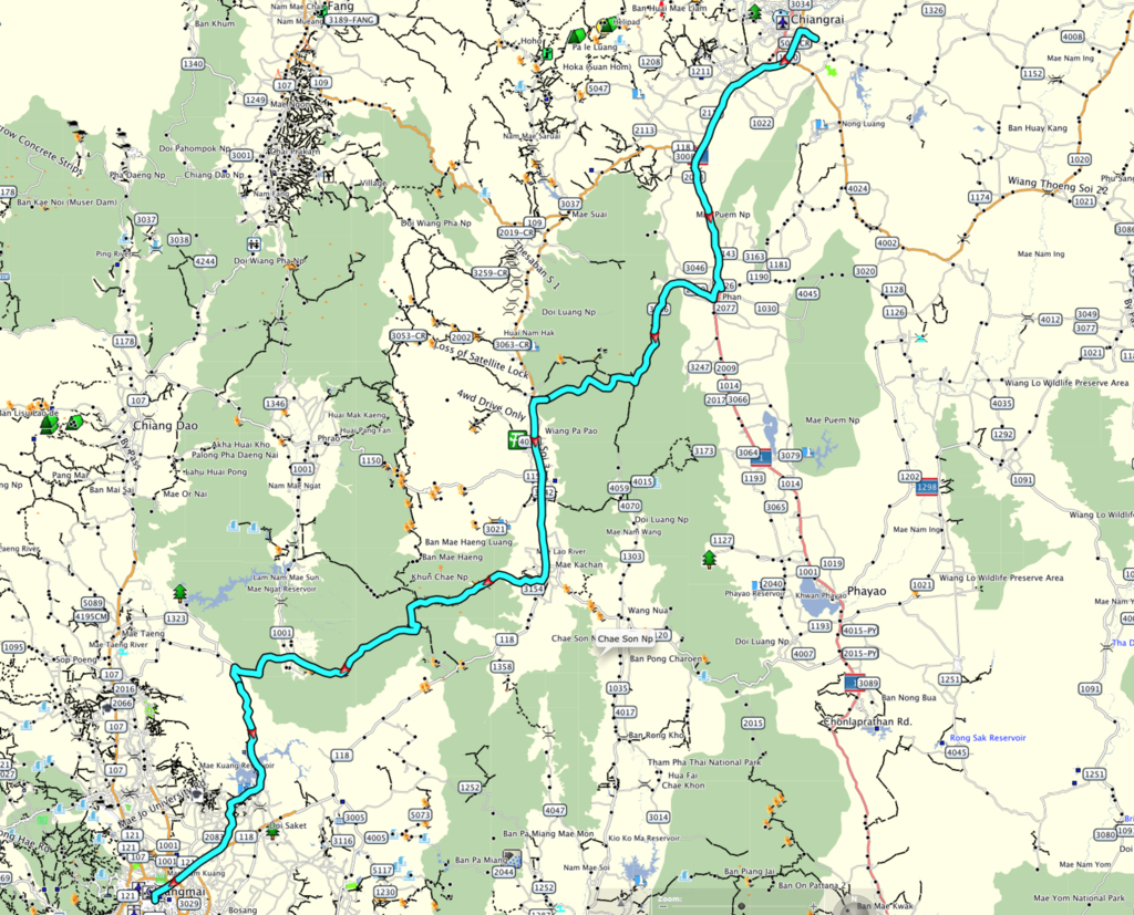
The route is only 244 km but enjoyable and scenic and could form part of other loops out of CR heading South towards the 120 and back, GPX file to follow.
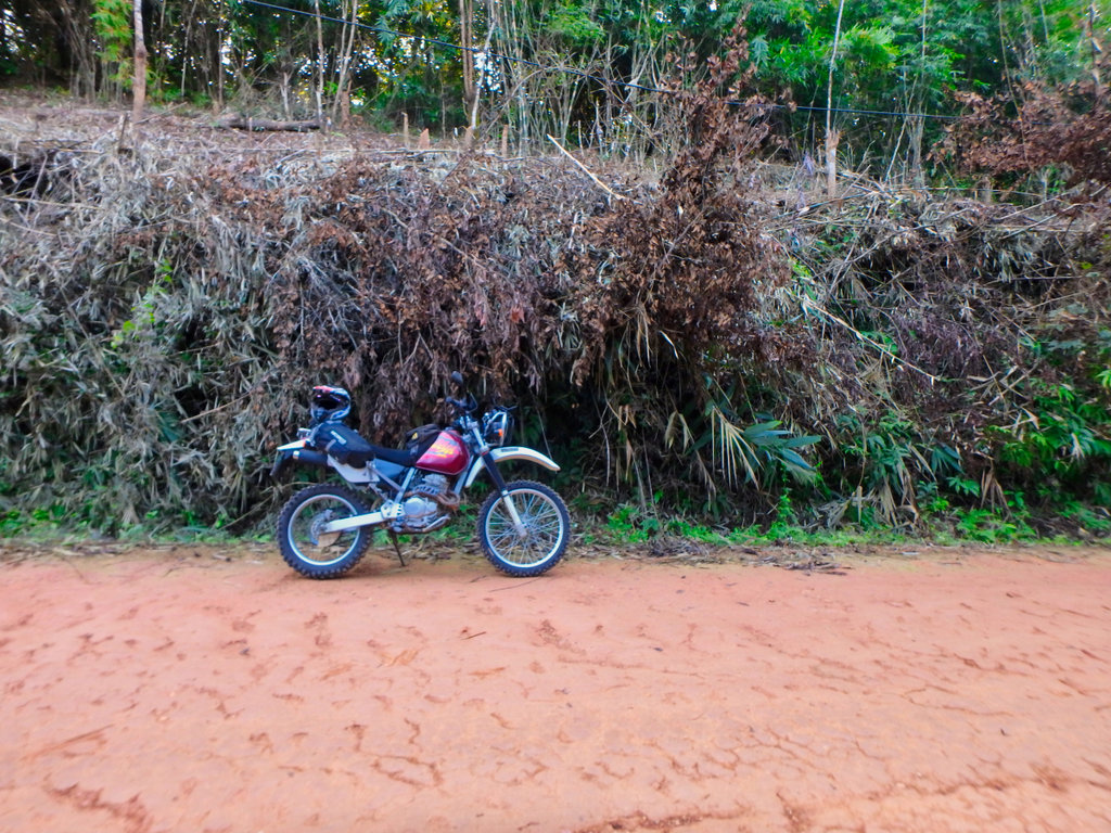
The Baja all scrubbed up after the Cambodia adventure.
The route taking a small part of the 118 to link up to the bridges trail.
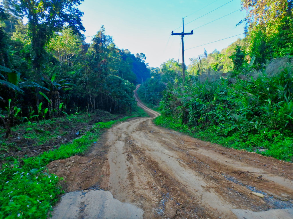
Parts of the paved section of the 3186 almost gone now after the rains.
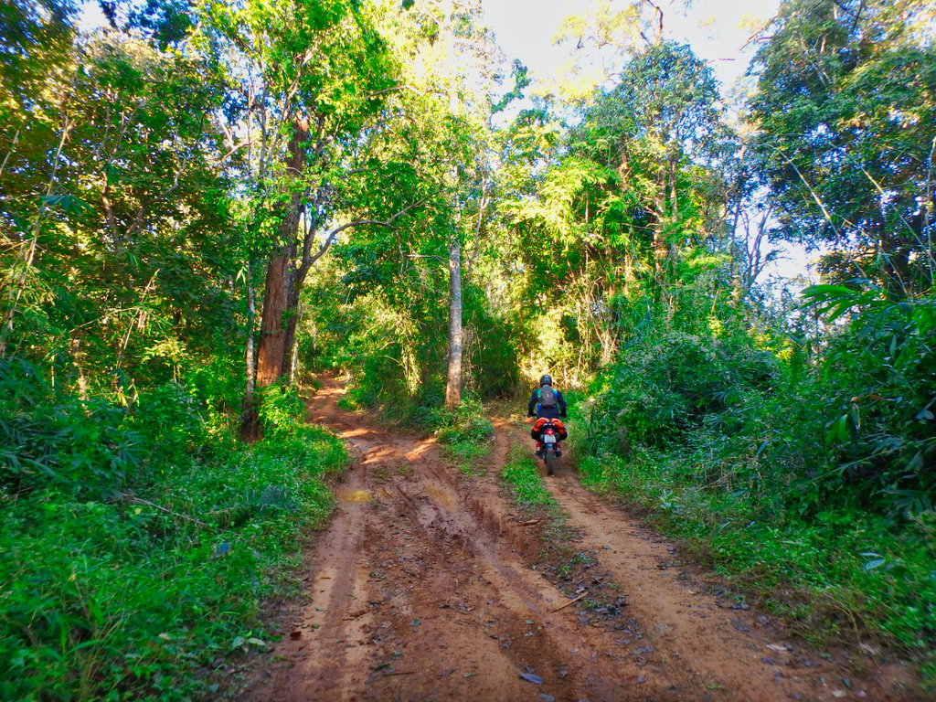
Soon heading West through Doi Luang NP nice and slippy.
This stretch is prone to landslides hopefully all clear today.
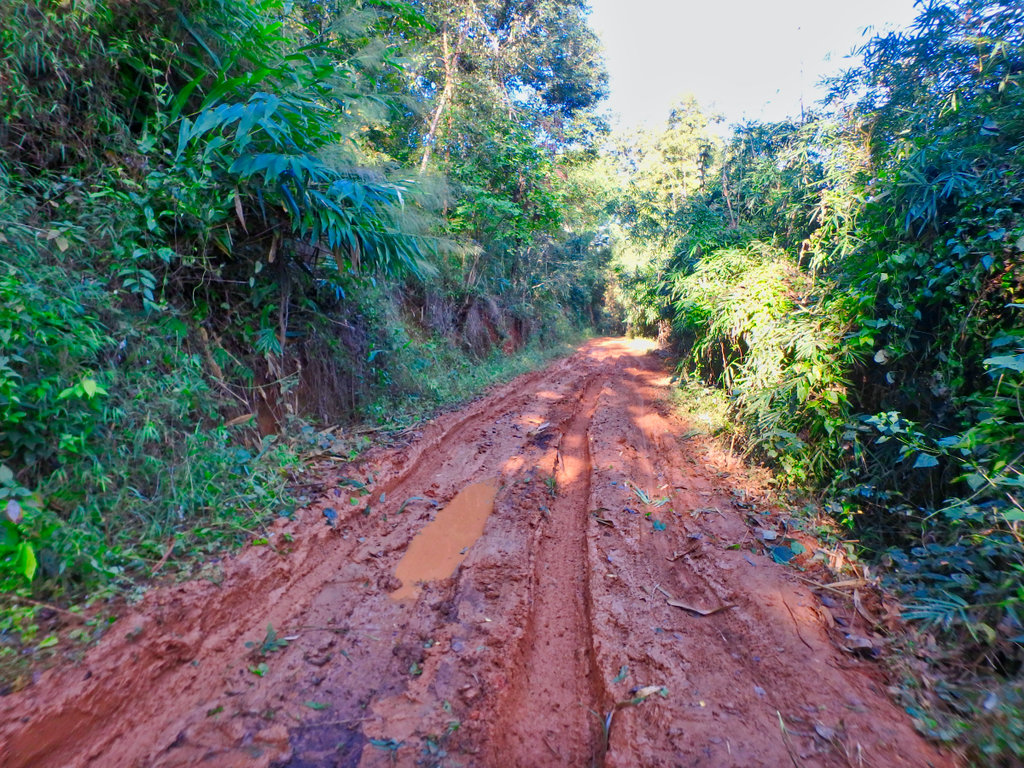
The forest sections provide some nice relief from the early morning sun.
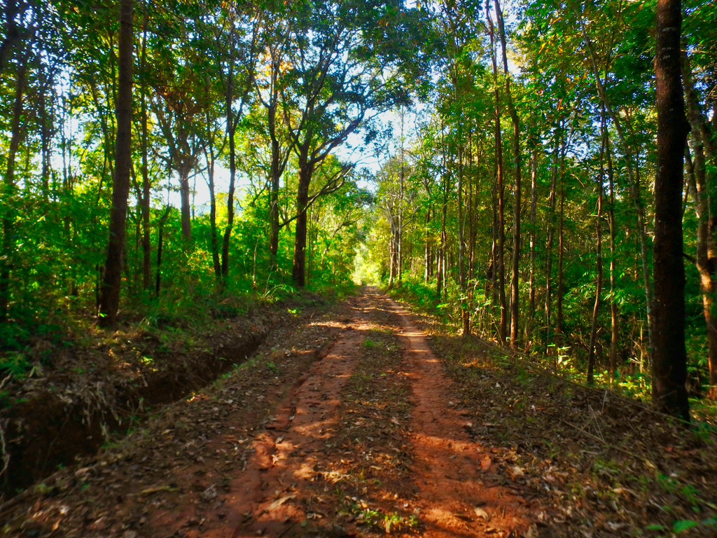
There are a couple of options on this trail, this one being the more difficult of the two to get the spider sense tuned up.
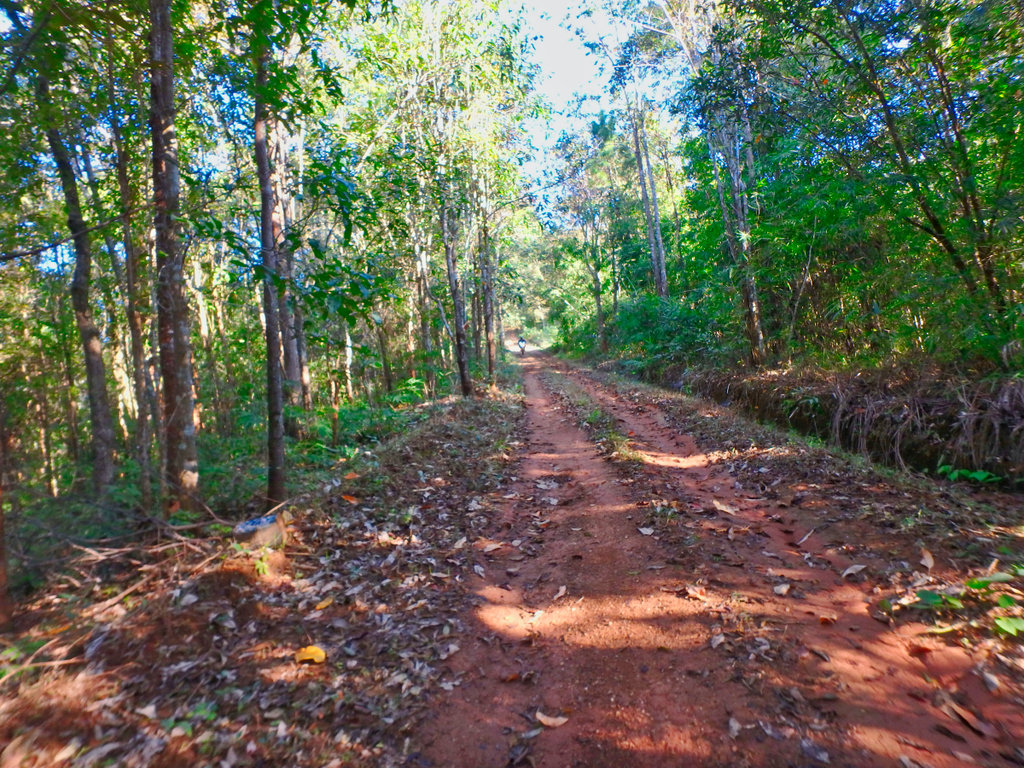
Skinny ruts filled with leaves can easily catch you out.
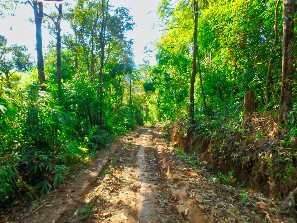
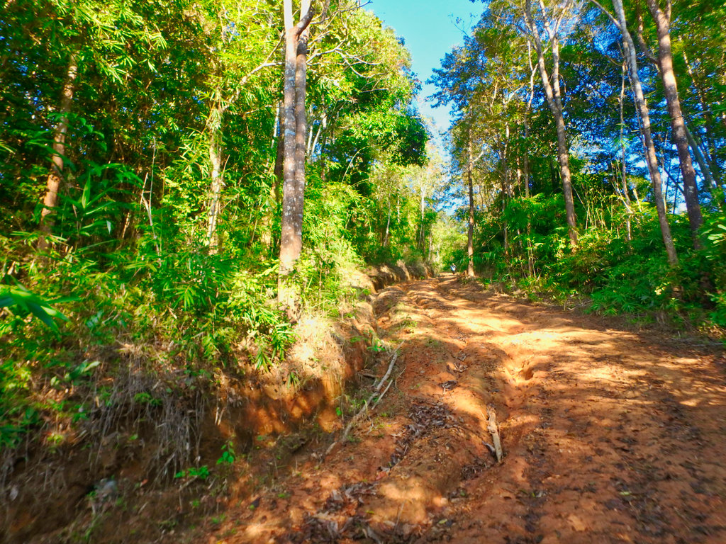
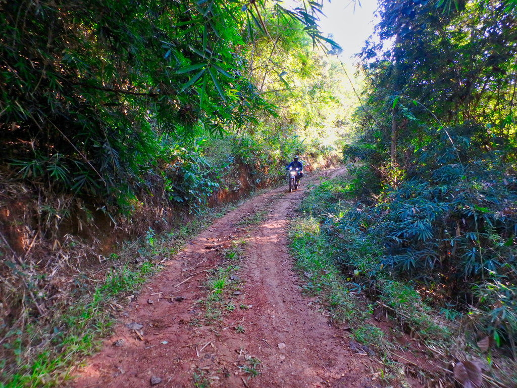
This perhaps the most troublesome, it is steeper than it looks and the broken shale makes it hard to get traction.
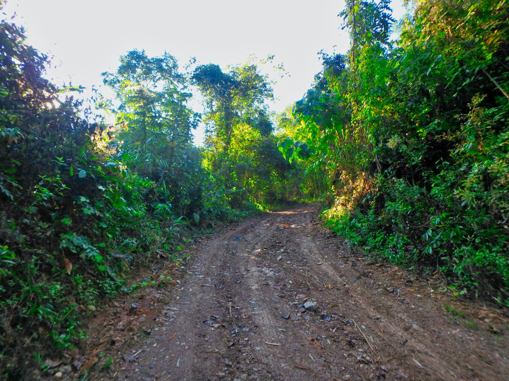
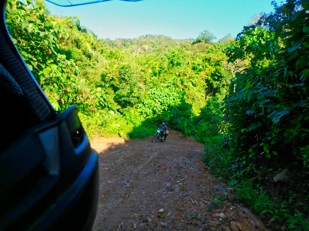
Des pushing on up the steep section.
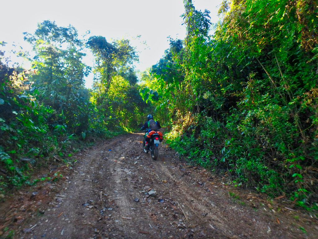
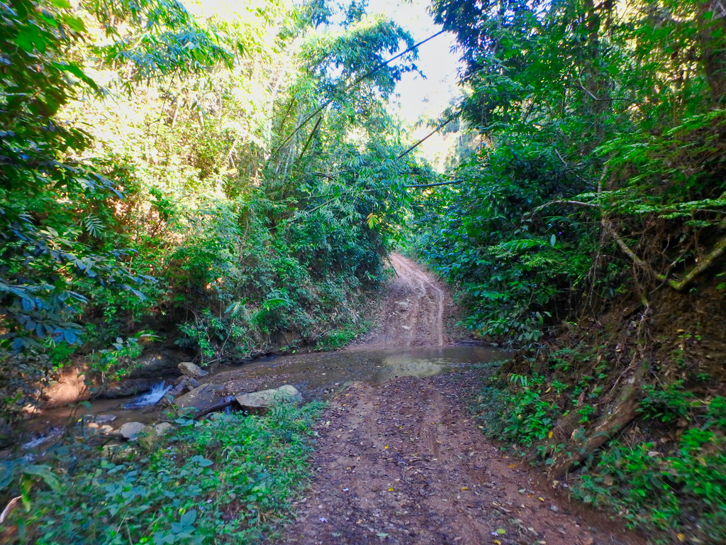
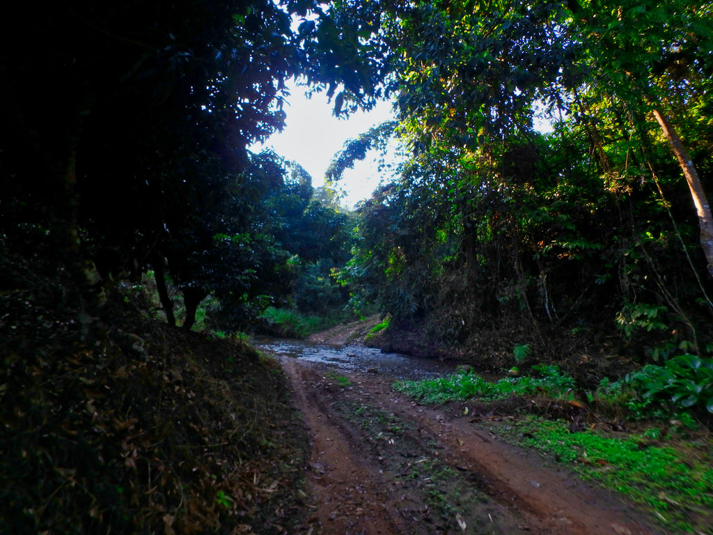
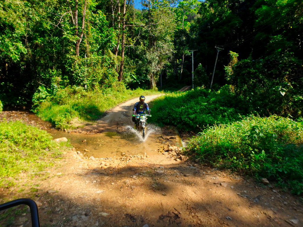
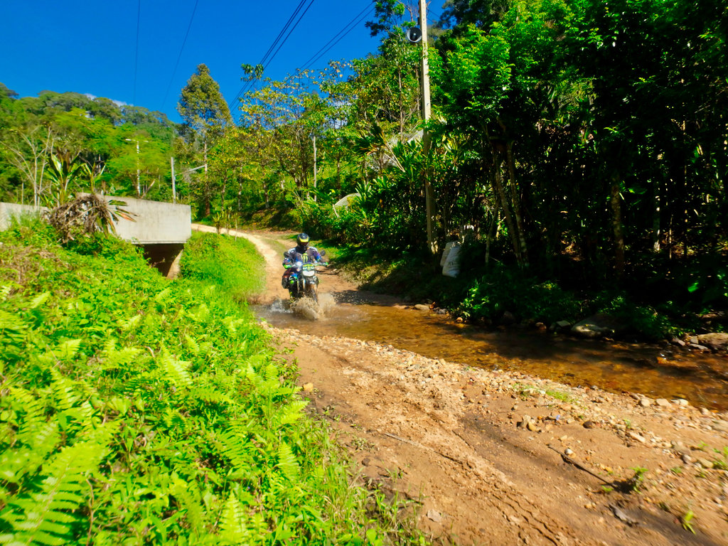
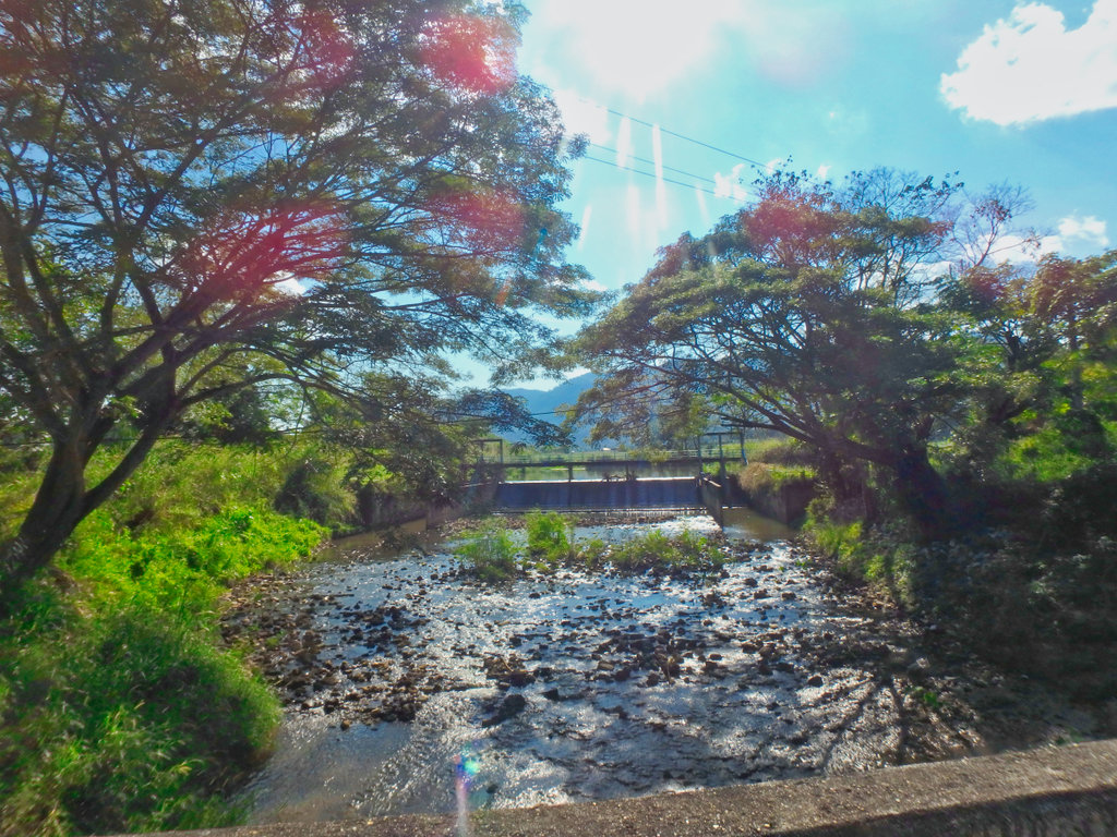
Several small stream crossings but nothing to worry about.
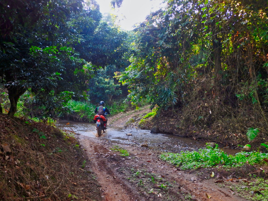
The fast section through the trees is great fun.
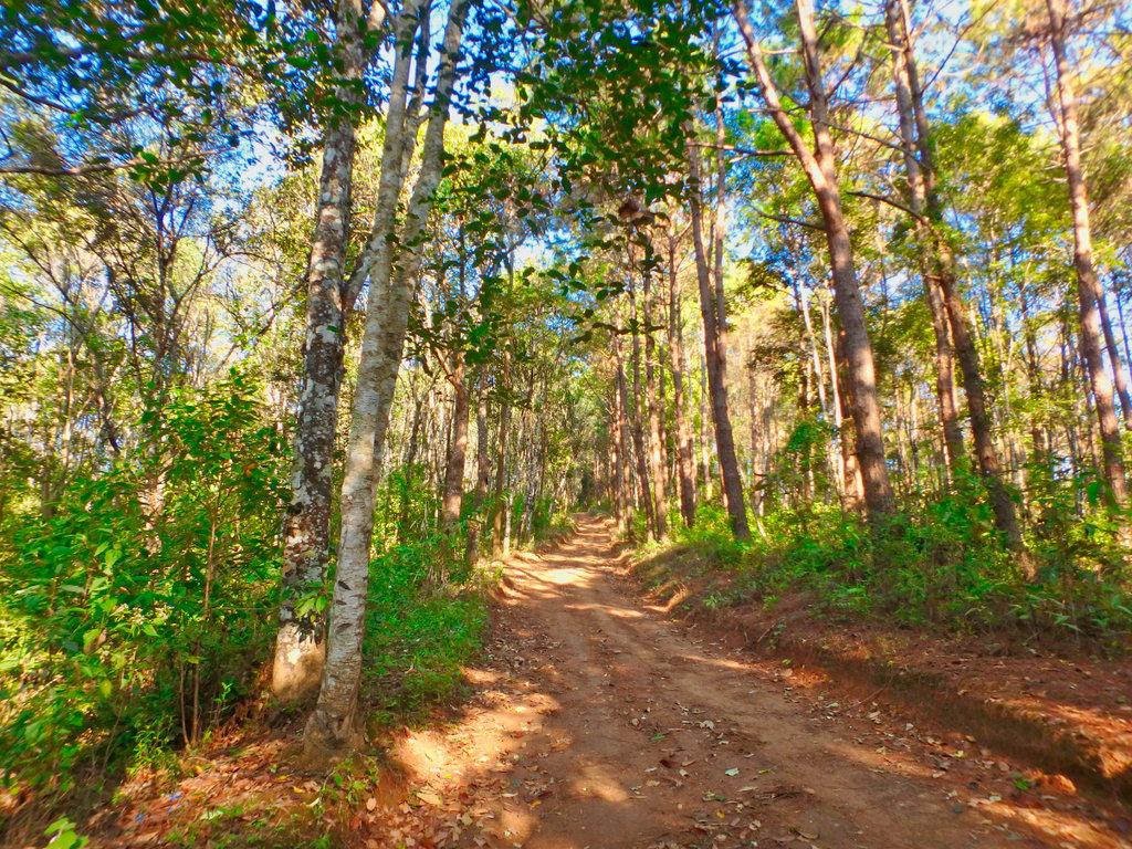
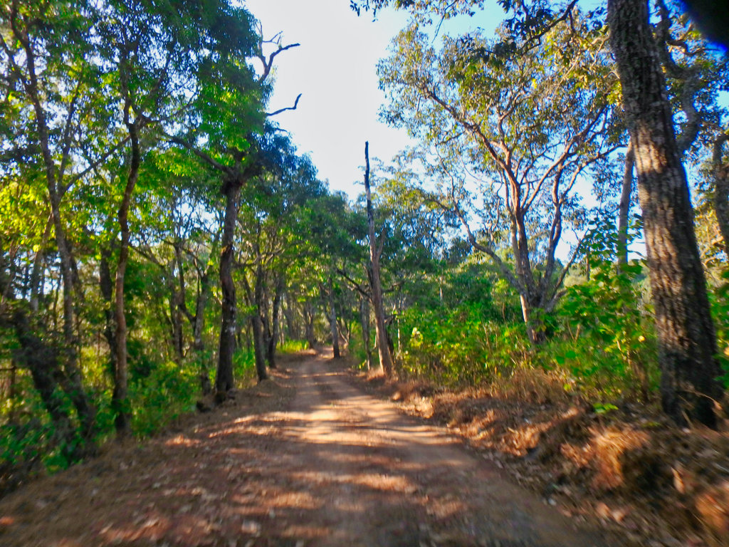
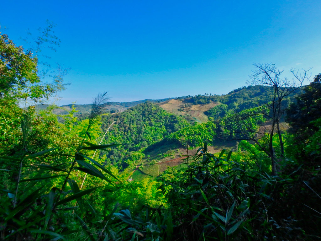
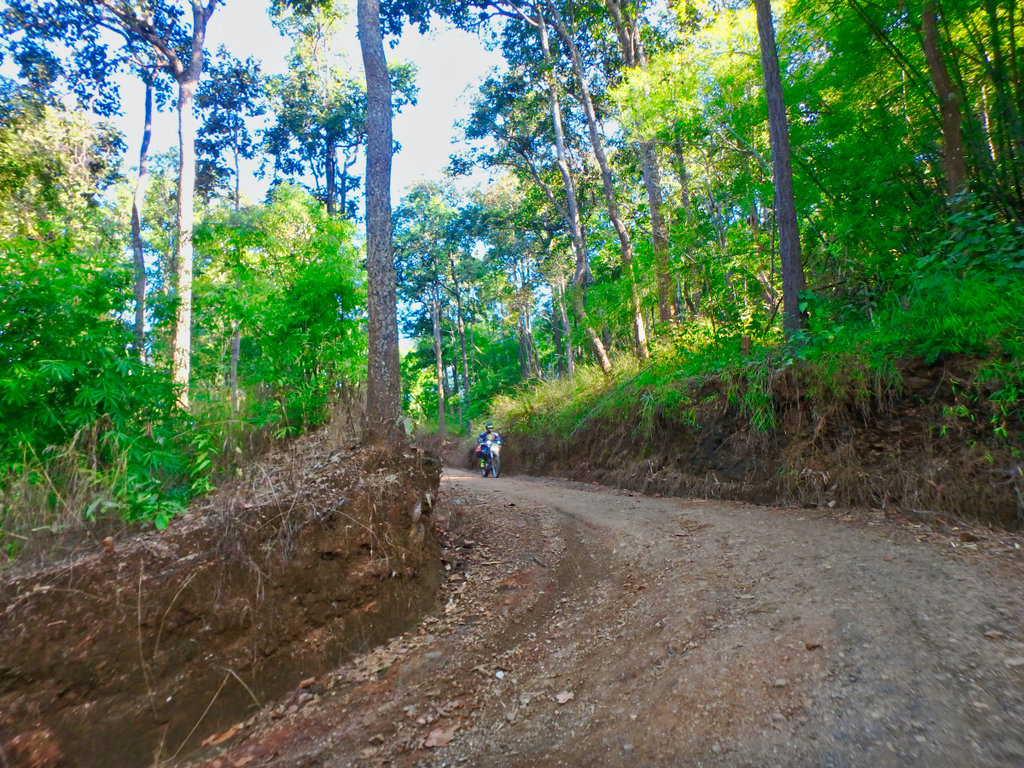
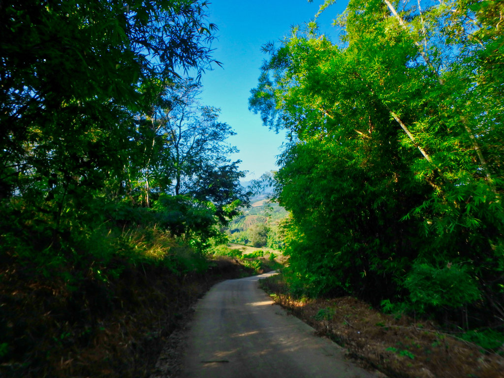
The end of this trail is marked by a short ride through the riverbed and a chance to wash off the bikes.
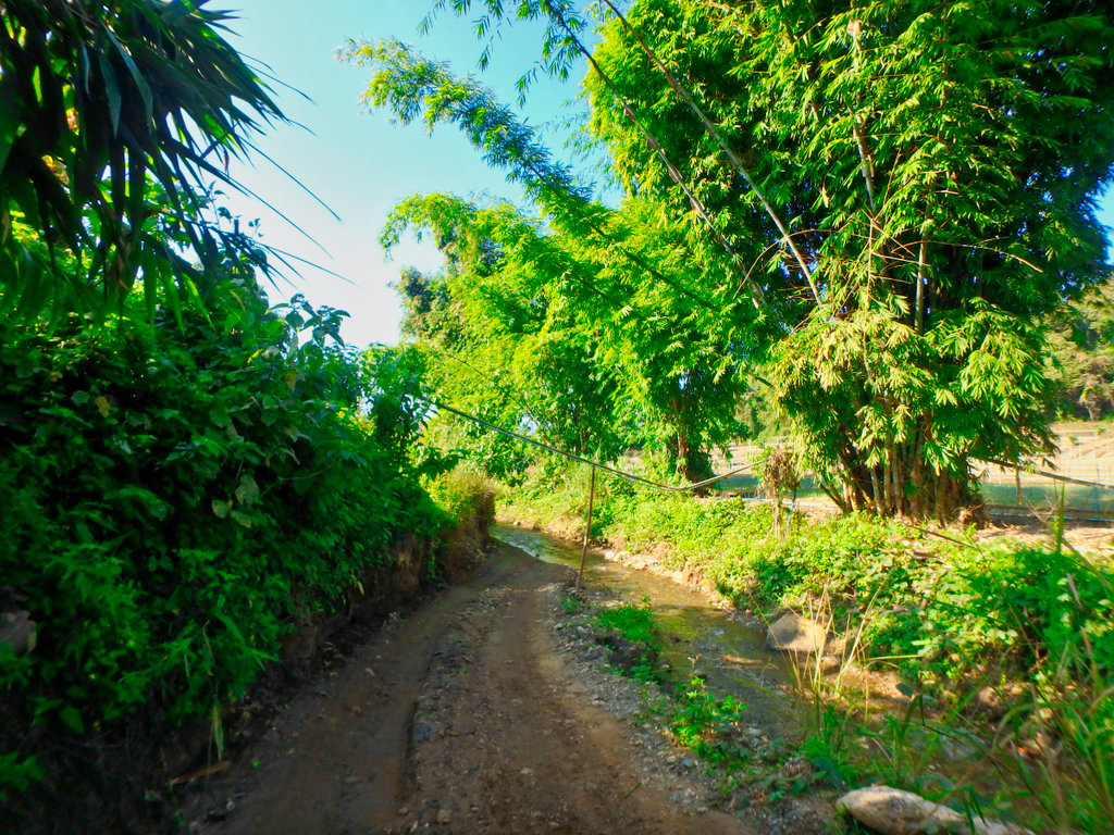
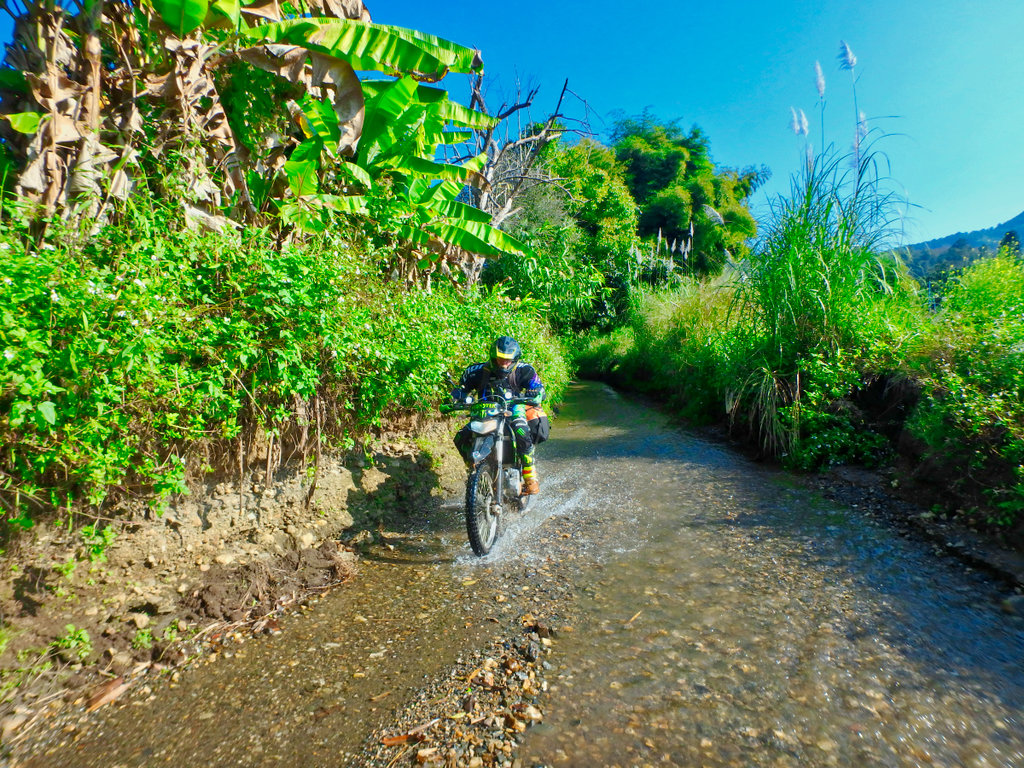
Doi Luang rangers station
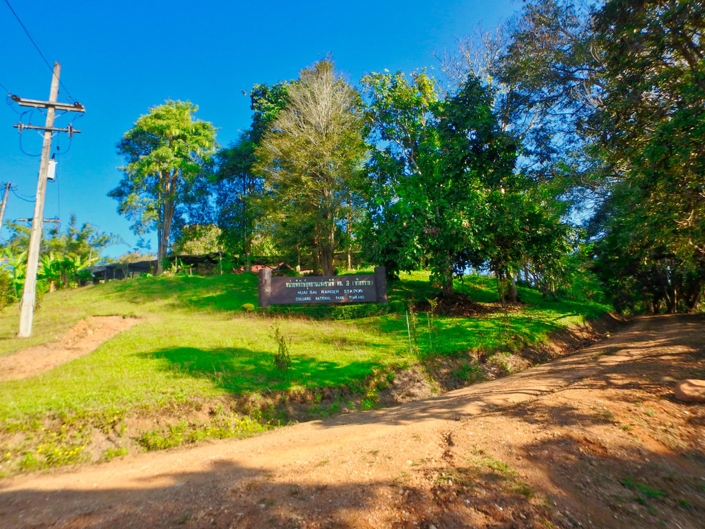
Heading to the 118 now at Pong Nua. From there 10km on the 118 to Wiang Pa Pao and make the turn for the well know bridges trail.
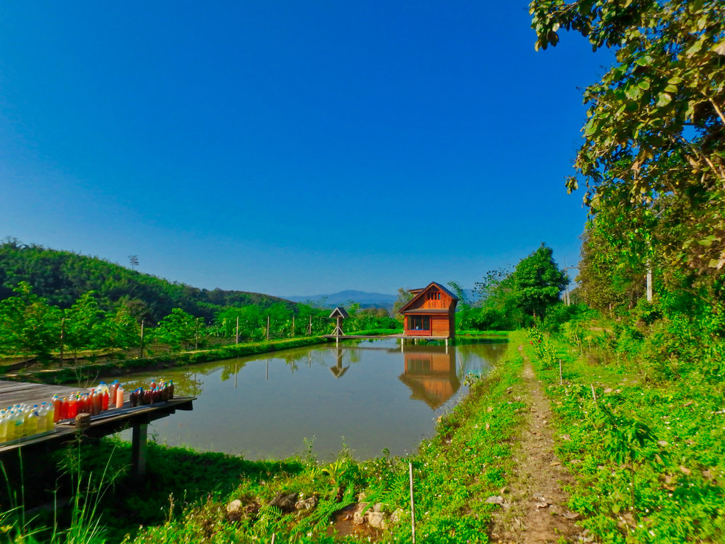
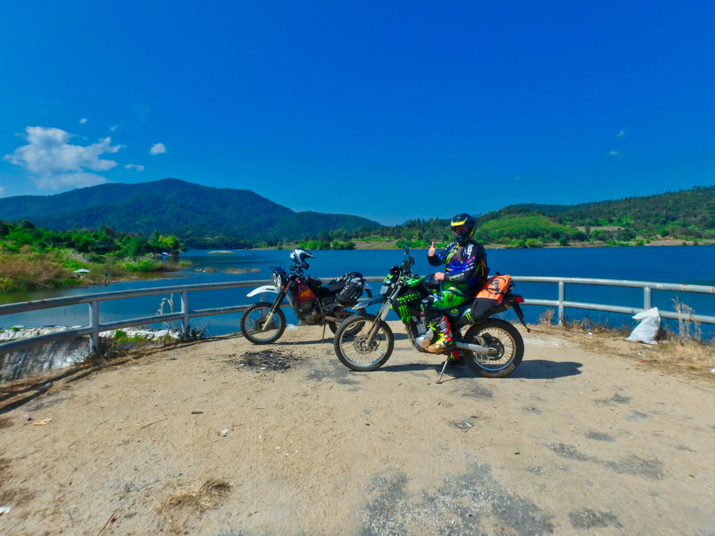
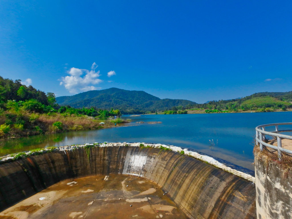
Stop at the Doi Ngung reservoir looking very low for this time of year.
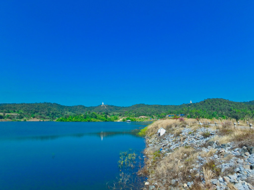
Another large Buddha on the skyline with an equally large stupa.
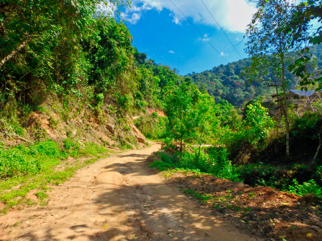
I was surprised how much the bridges trail had changed, I am sure it will be paved eventually but for now, it's still a pretty trail with spectacular views.
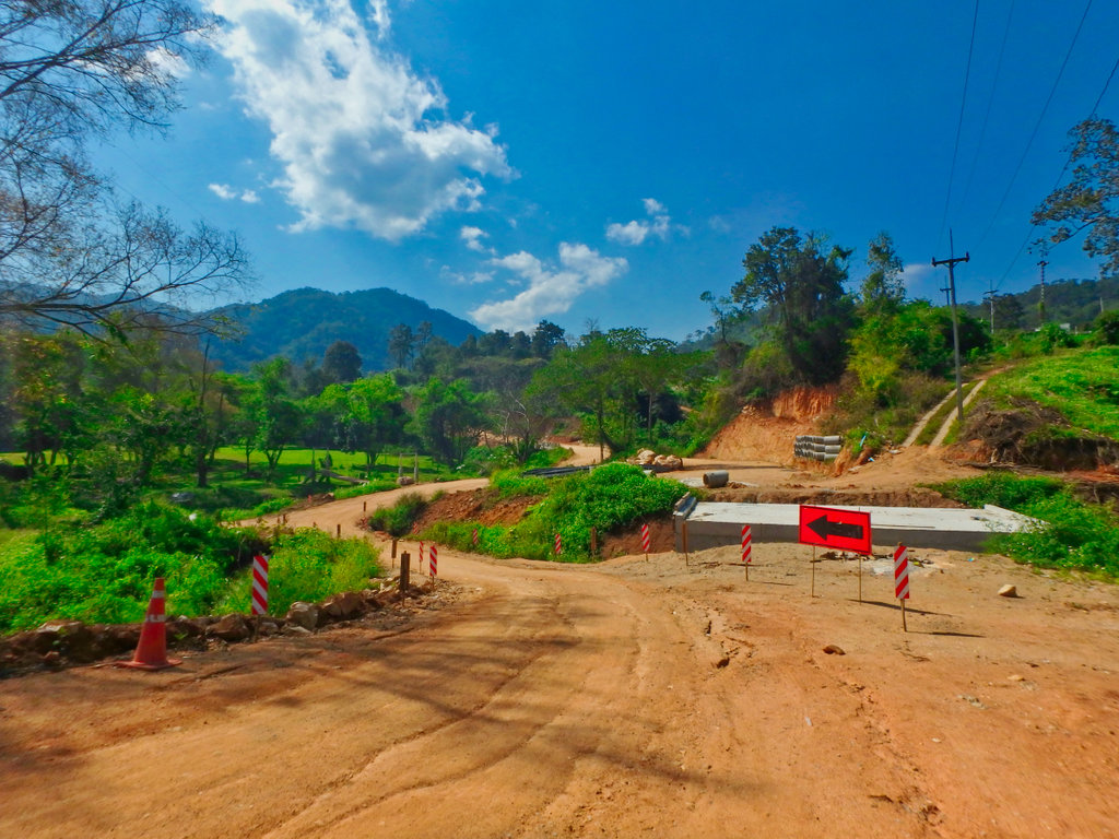
New bridge work a sign of the progress and demise of the dirt.
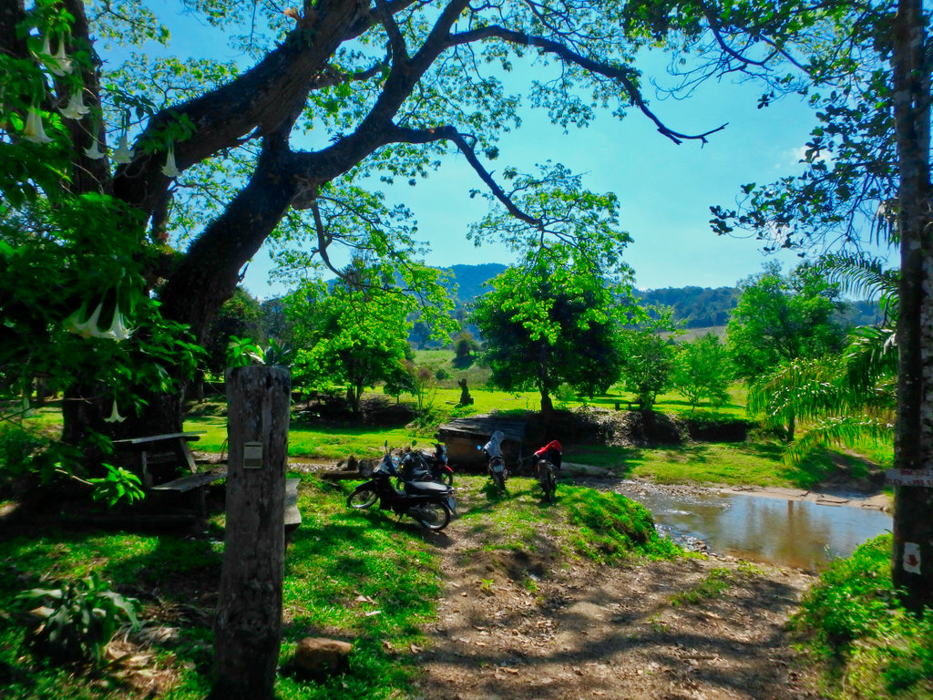
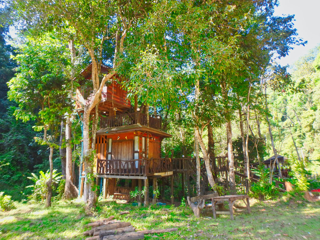
Lot's of good camping options along the way to make an overnighter.
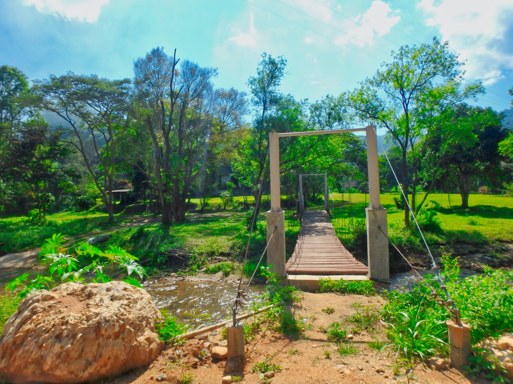
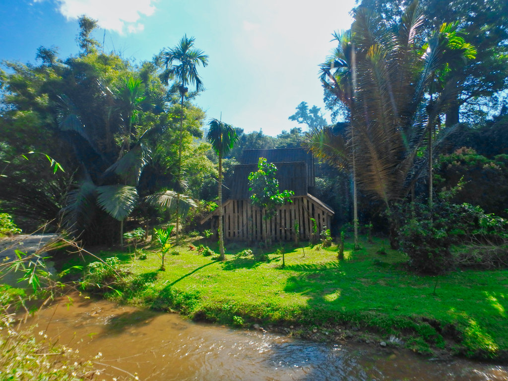
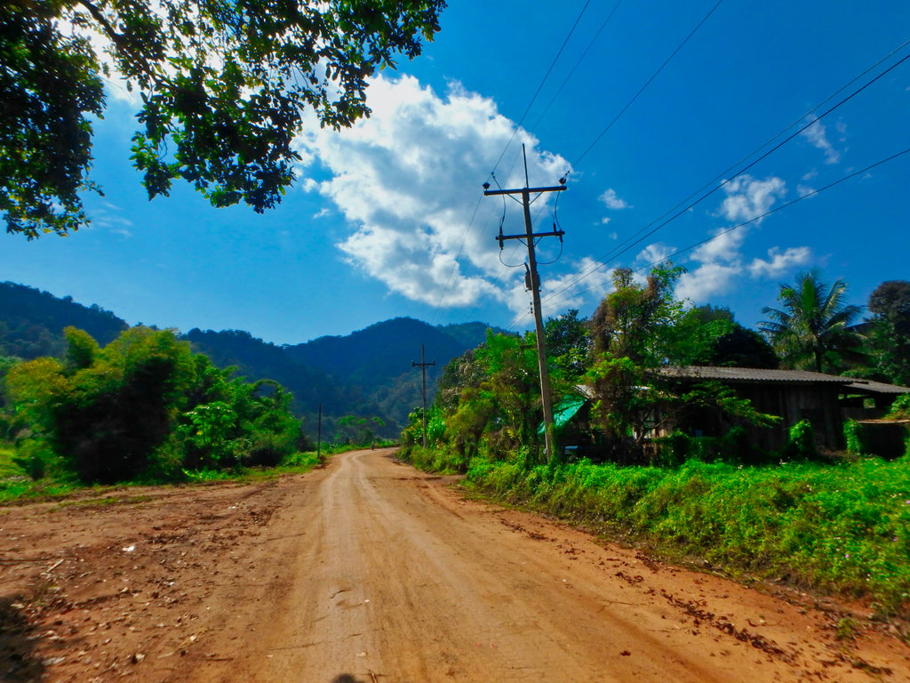
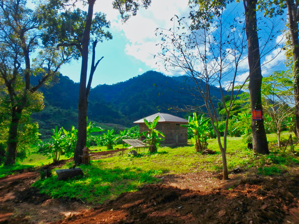
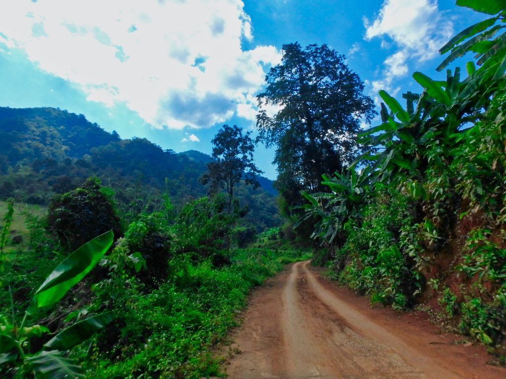
Riding through the valley hard to imagine you are just a few km from the busy 118 hwy.
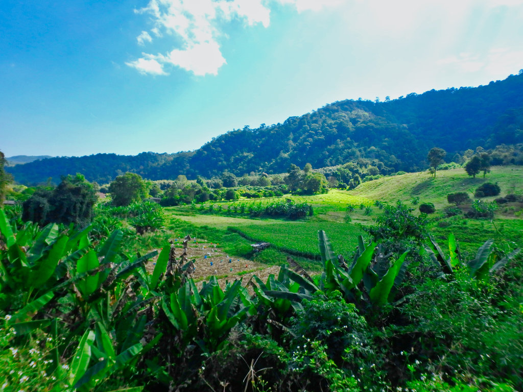
Rangers station with camping area by the river.
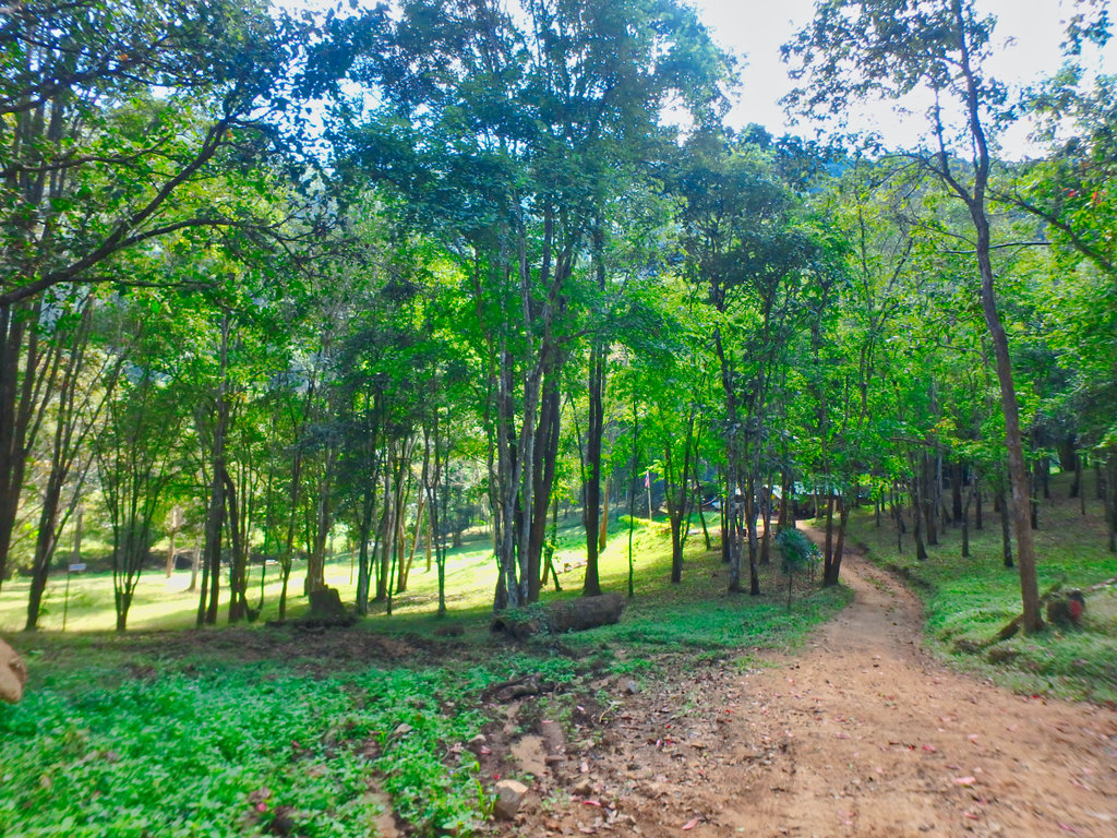
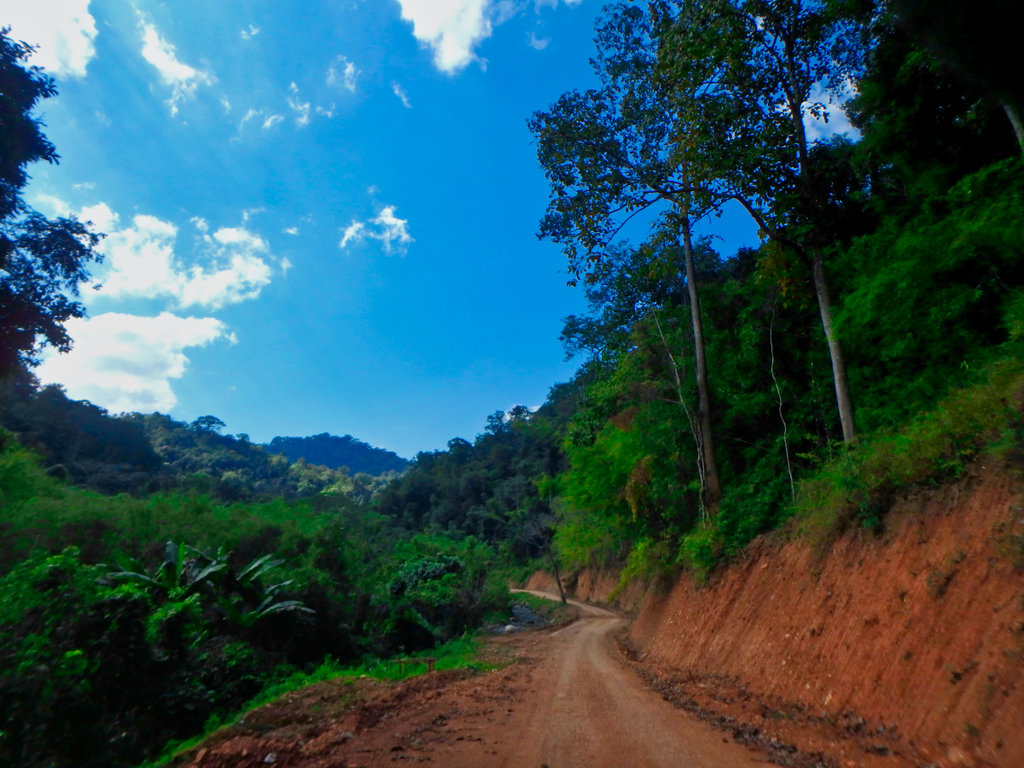
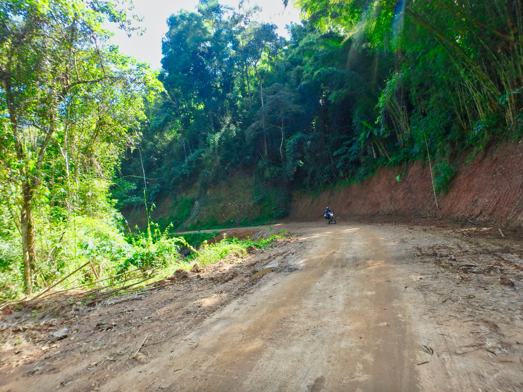
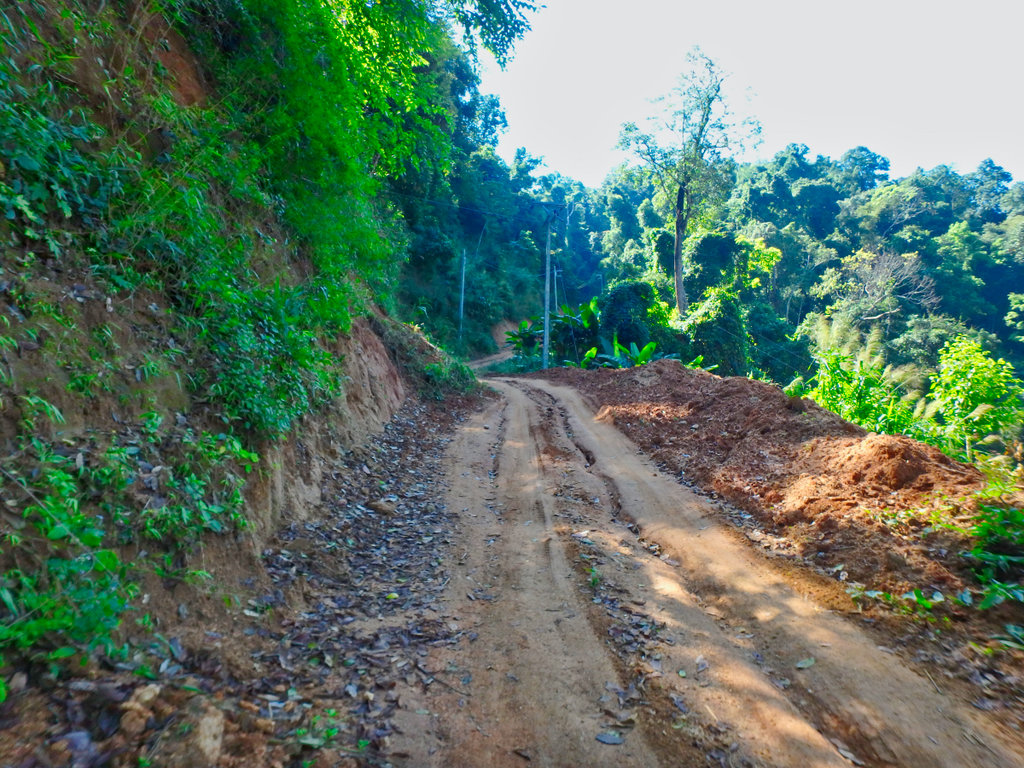
A considerable amount of money being spent on the grading of the road.
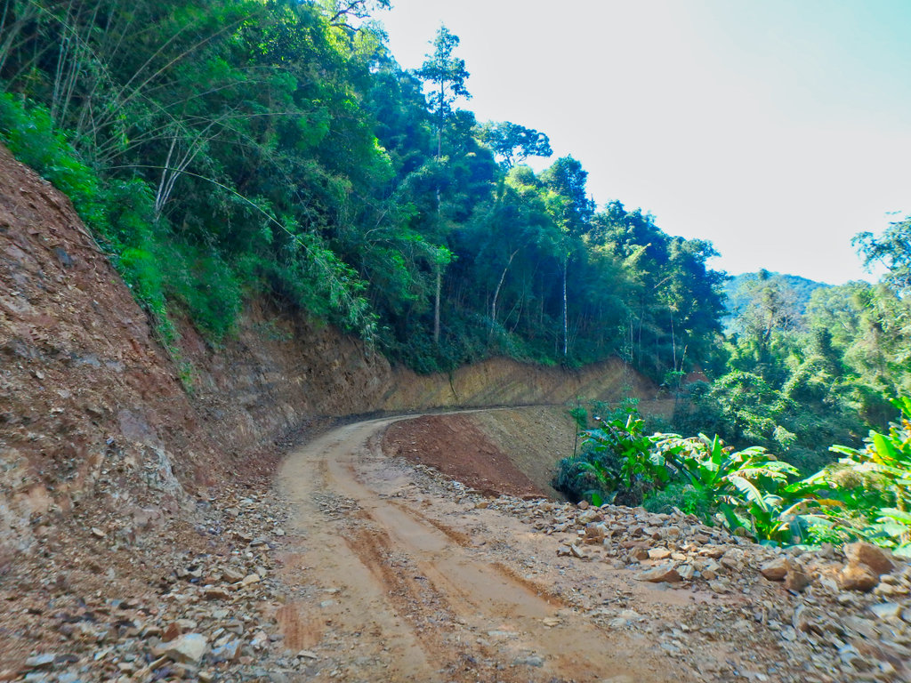
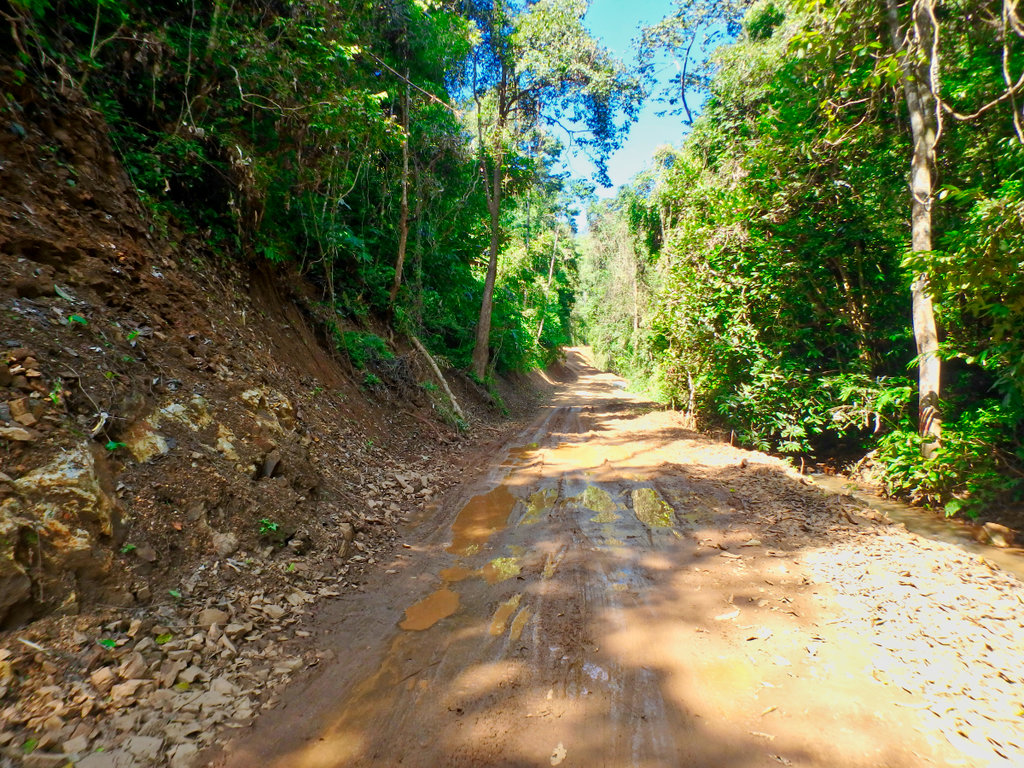
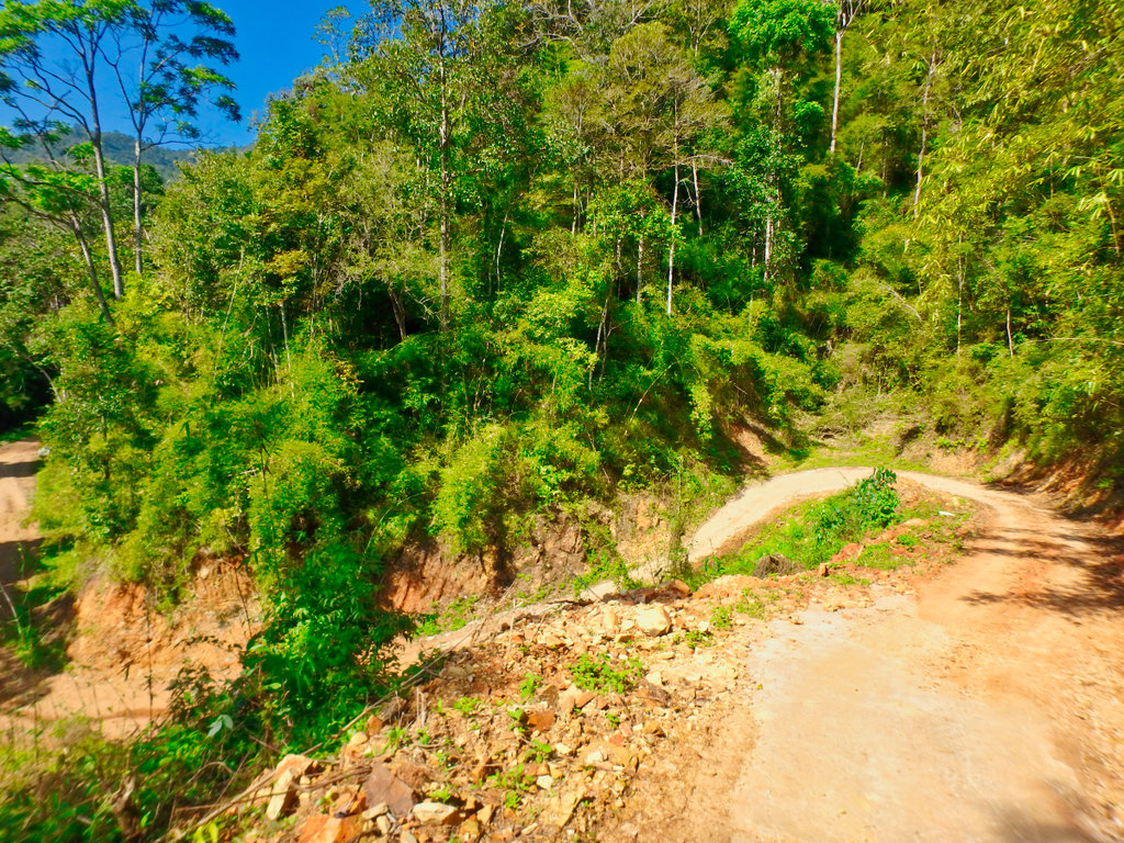
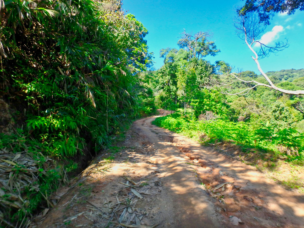
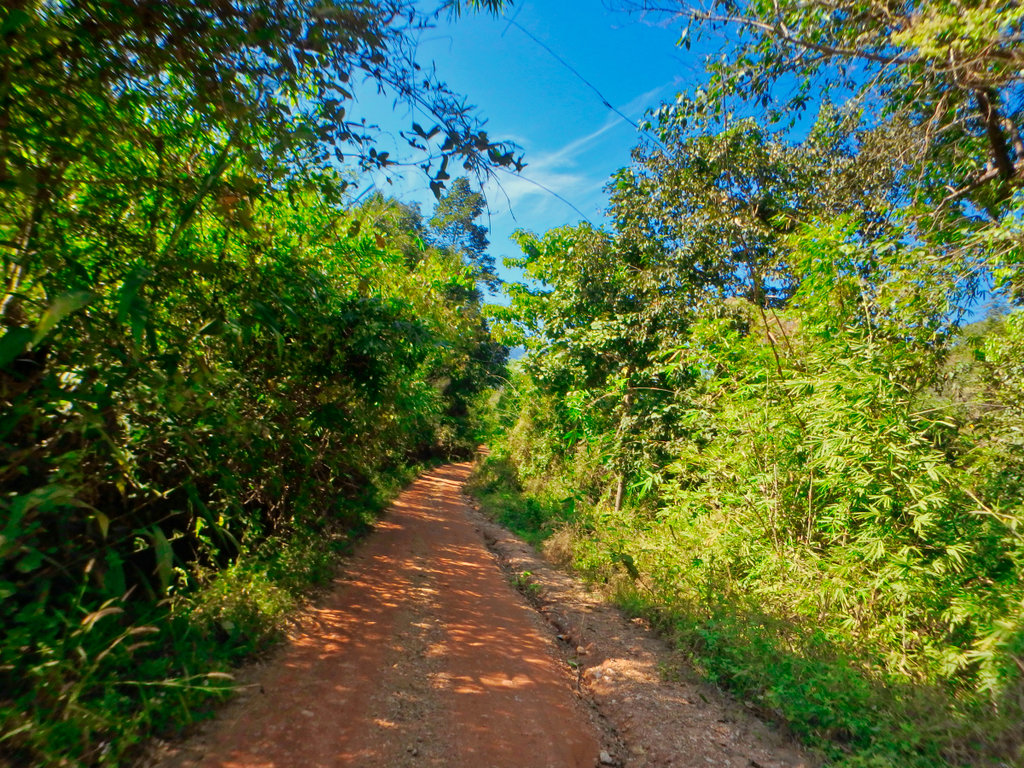
Soon we pass the roadworks works and the trail turns back to what I remember.
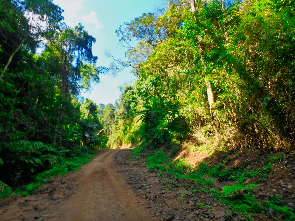
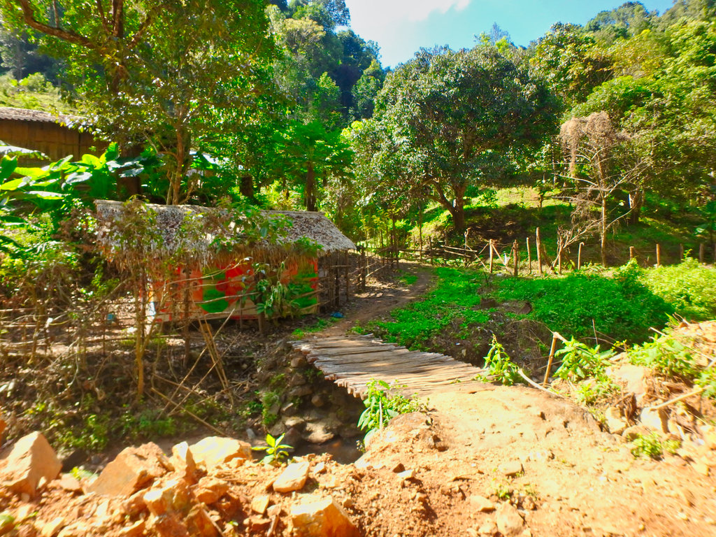
The steepest climb but still easy going even for a scooter.
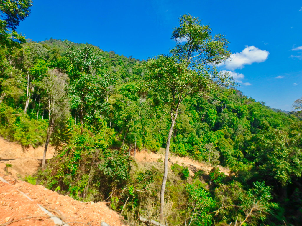
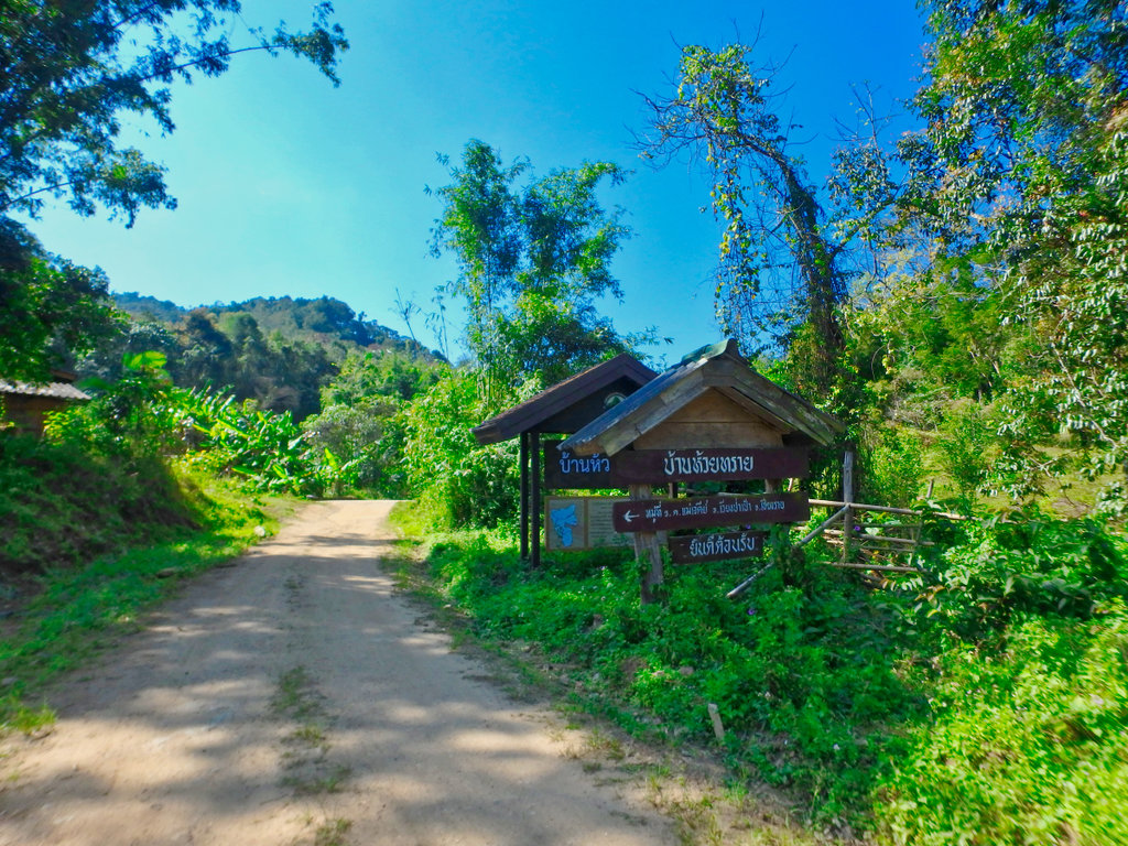
The trails splits off in several directions, some are simply loops to homestays, others head back tot he 118.
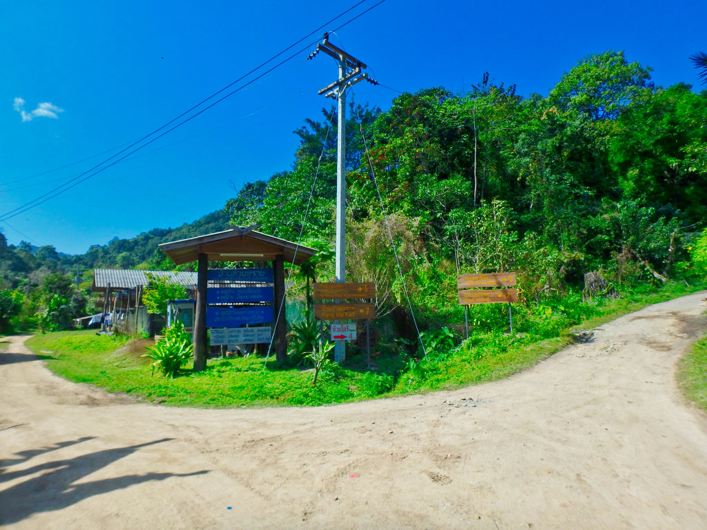
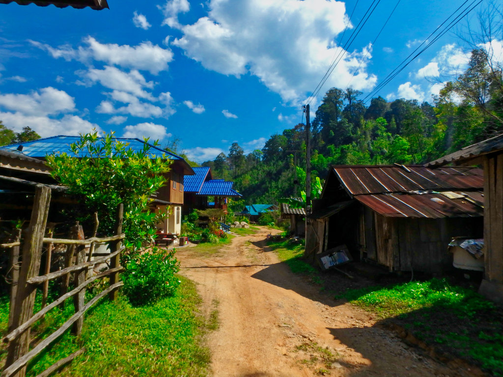
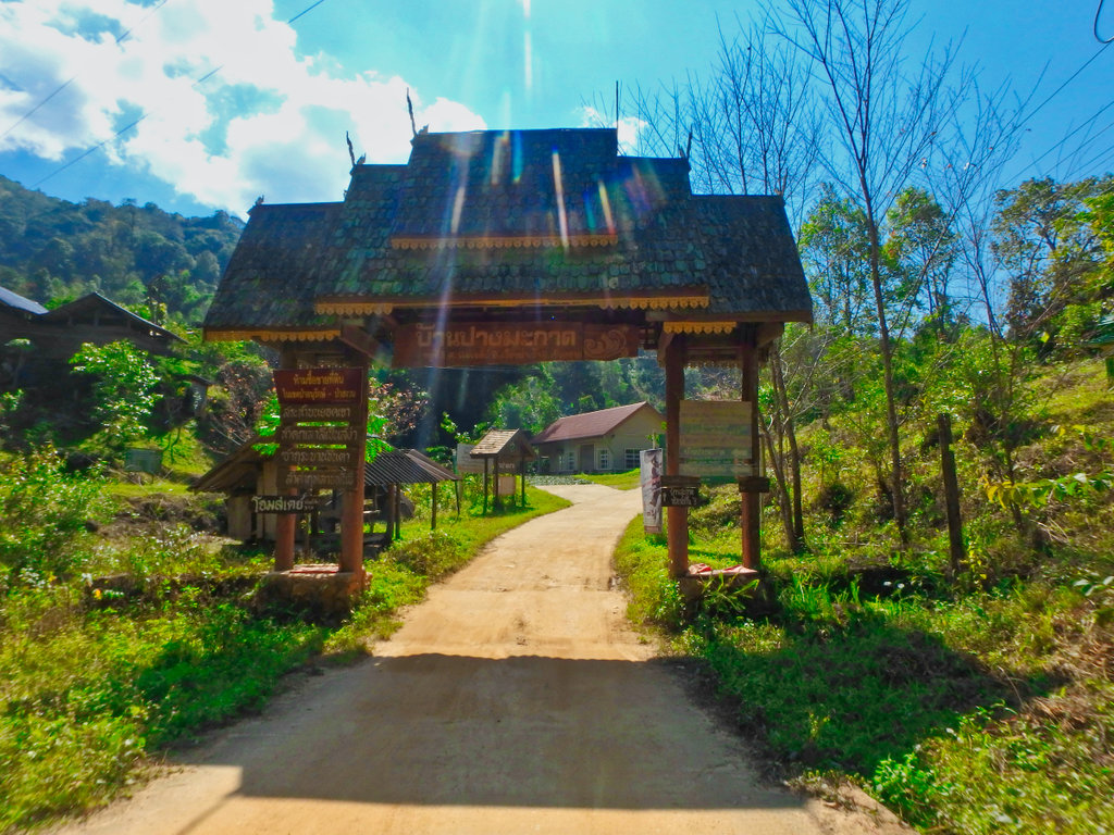
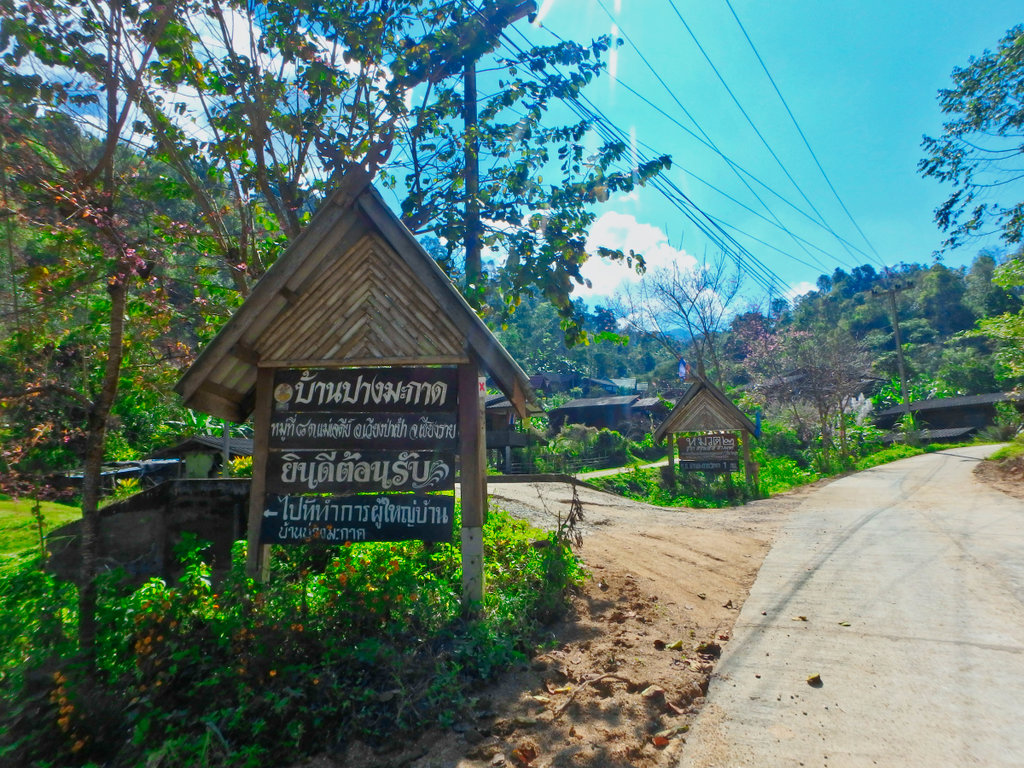
One thing you notice straight away is how well the villages are kept, almost model villages, presumably for the tourist visitors.
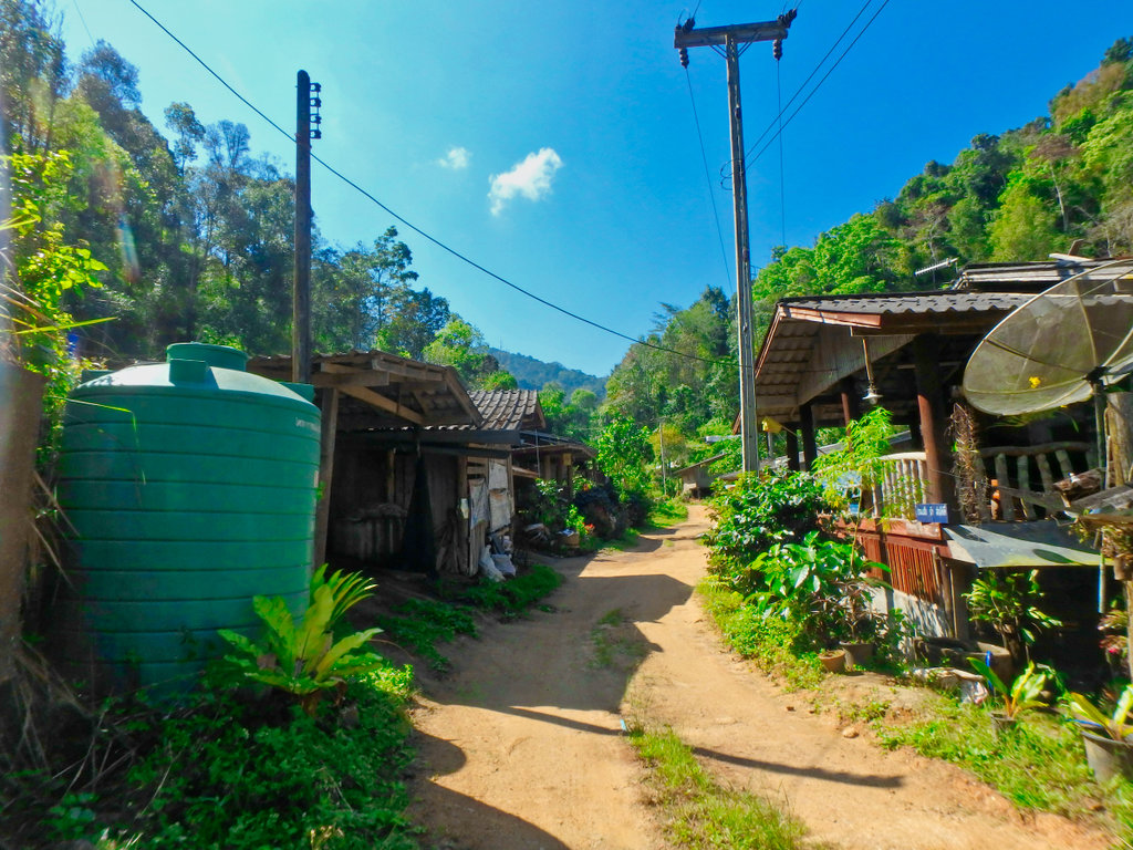
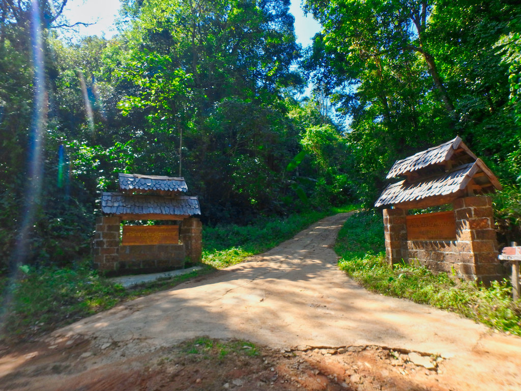
Here we turn right through the arch.
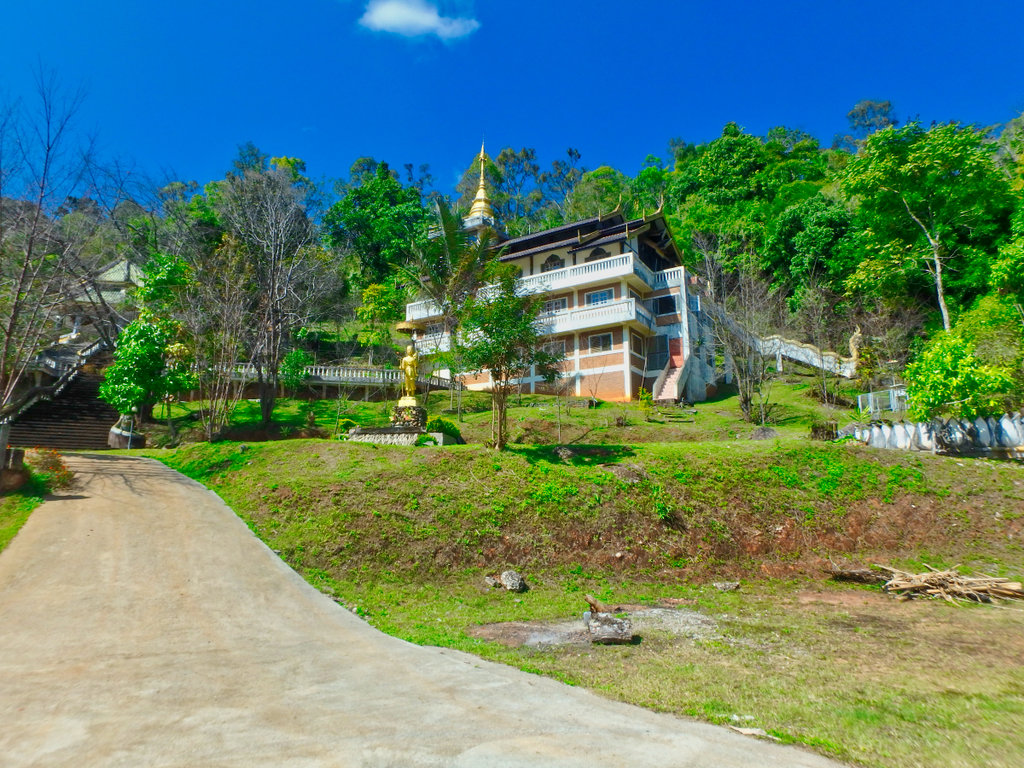
Bizzare looking Wat and monks accommodation building totally out of place to the rest of the village.
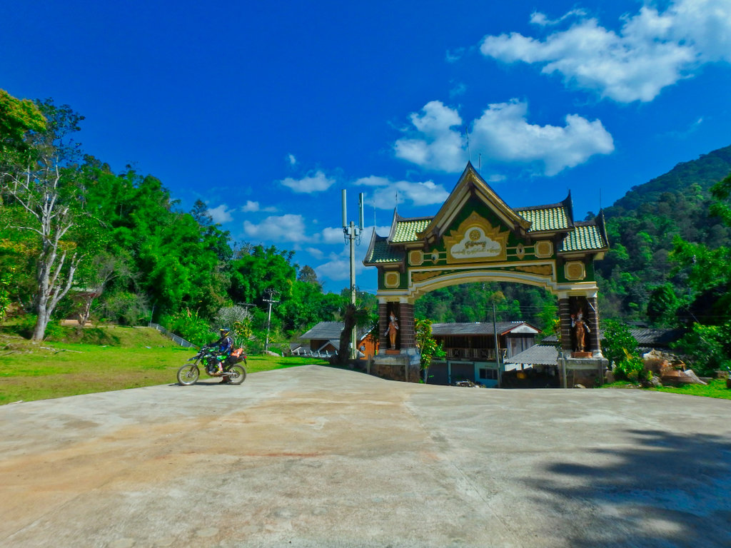
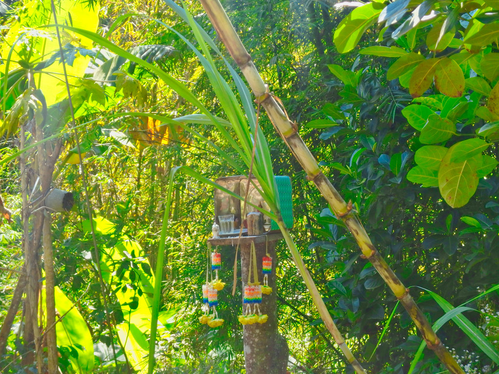
Tourist OTOP village.
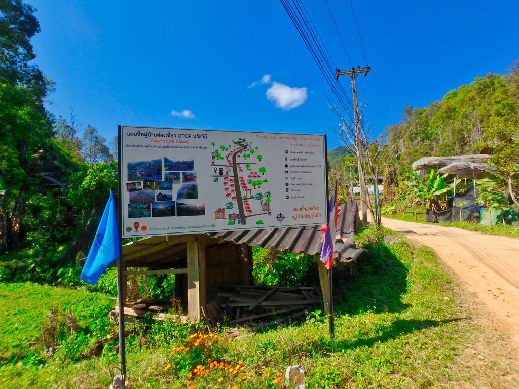
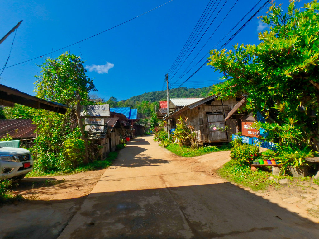
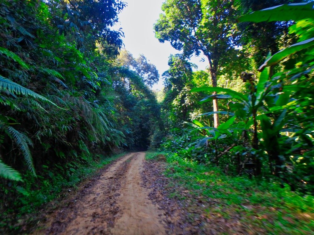
We came across this place many signs in English, not sure if it was a hot spring or some kind of monks hideaway, but very well done and big money spent.
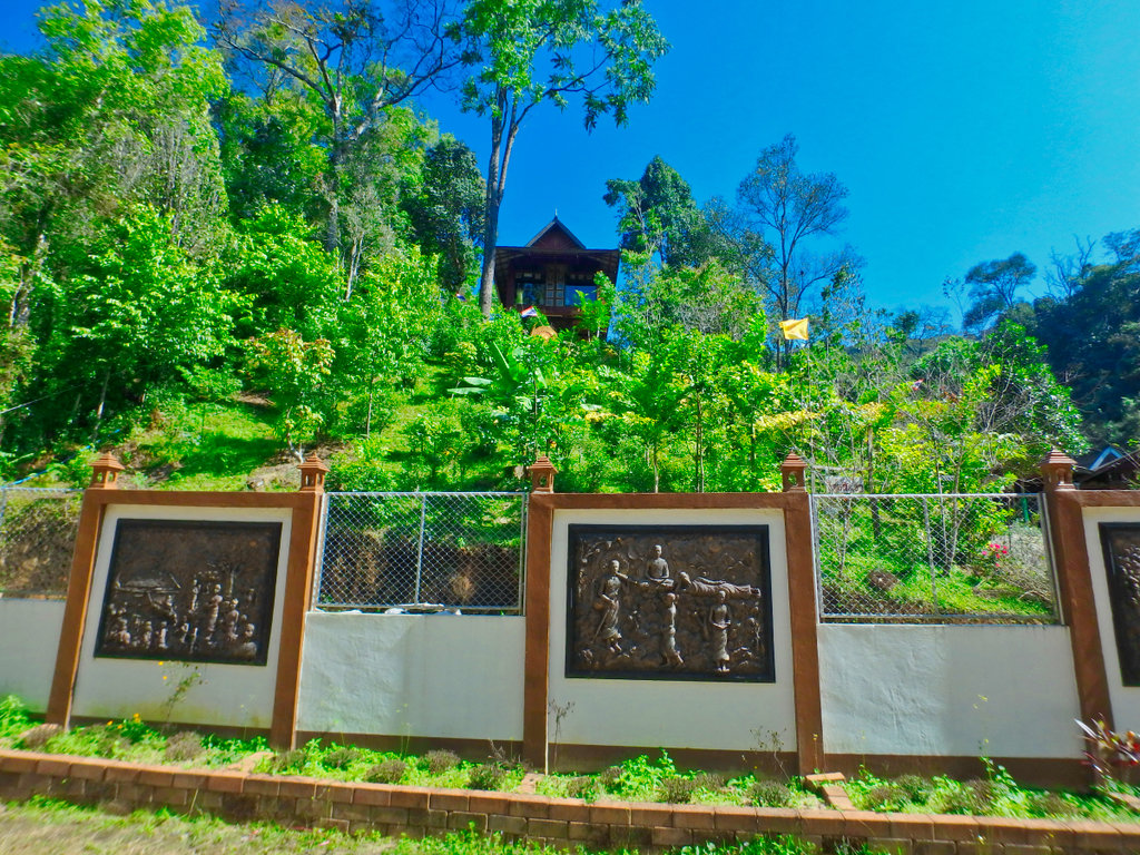
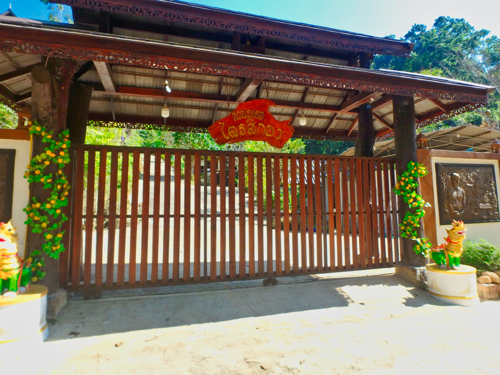
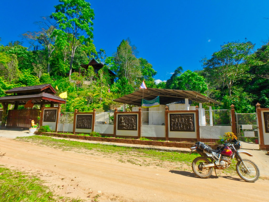
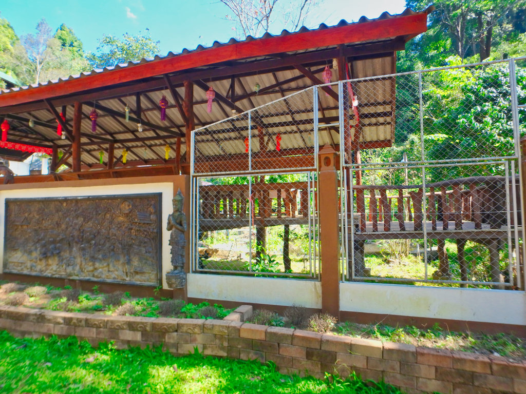
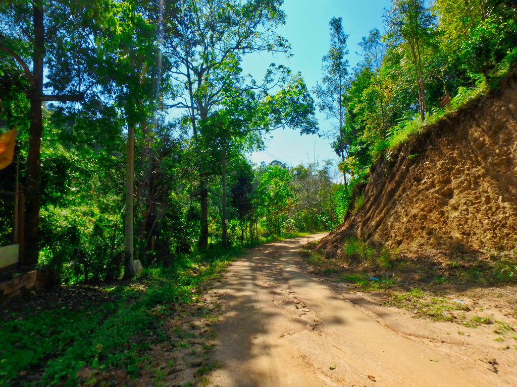
A little further a monks retreat of some kind.
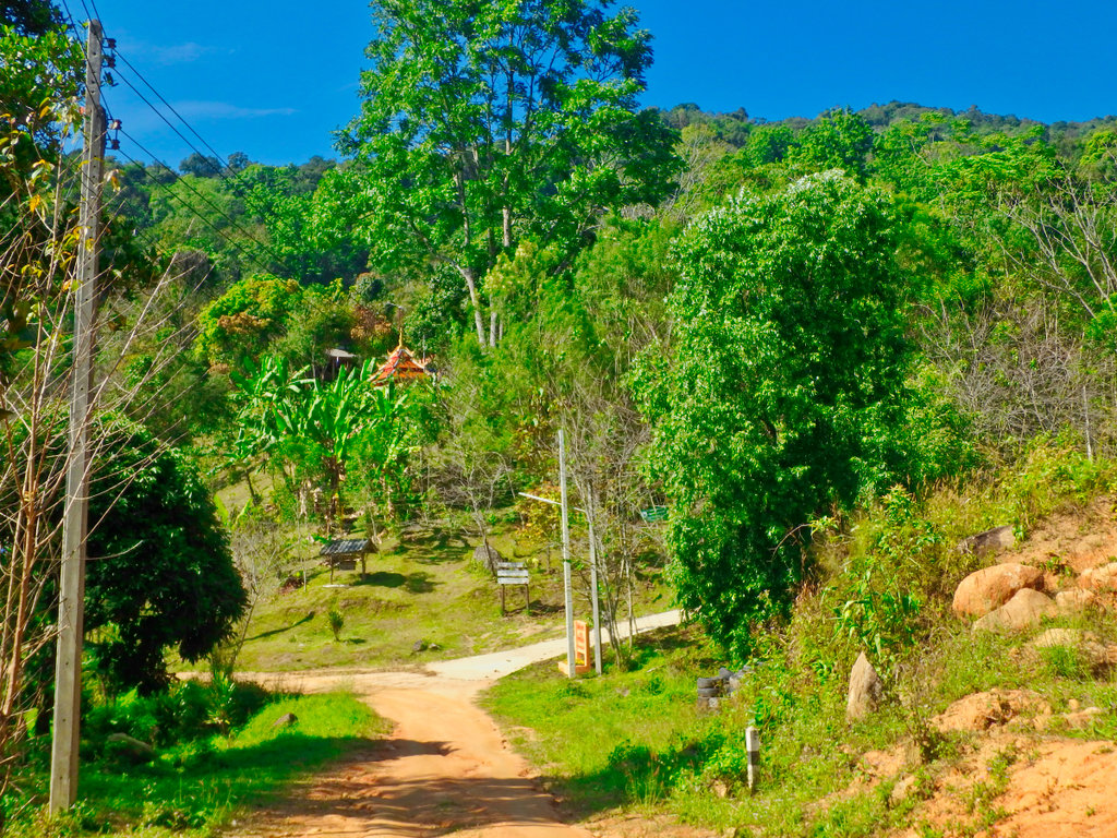
Again like most things along this trail all well manicured.
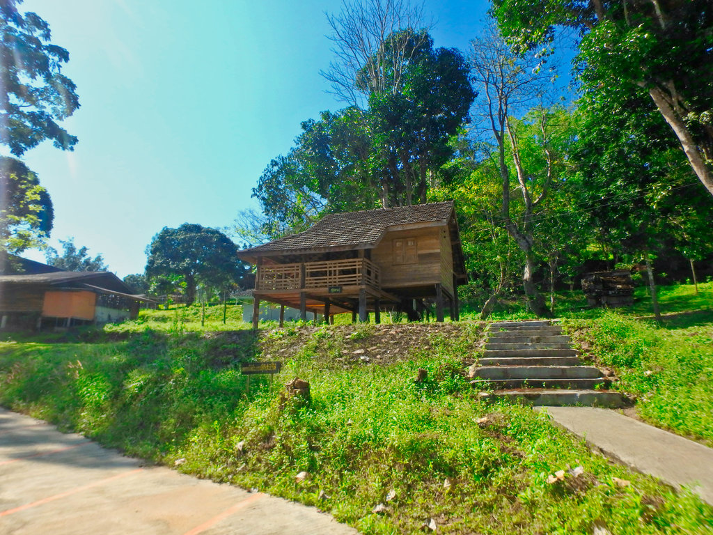
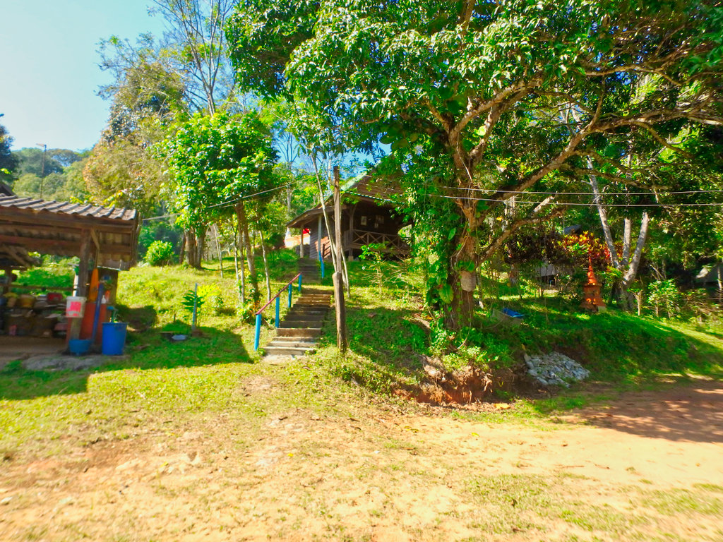
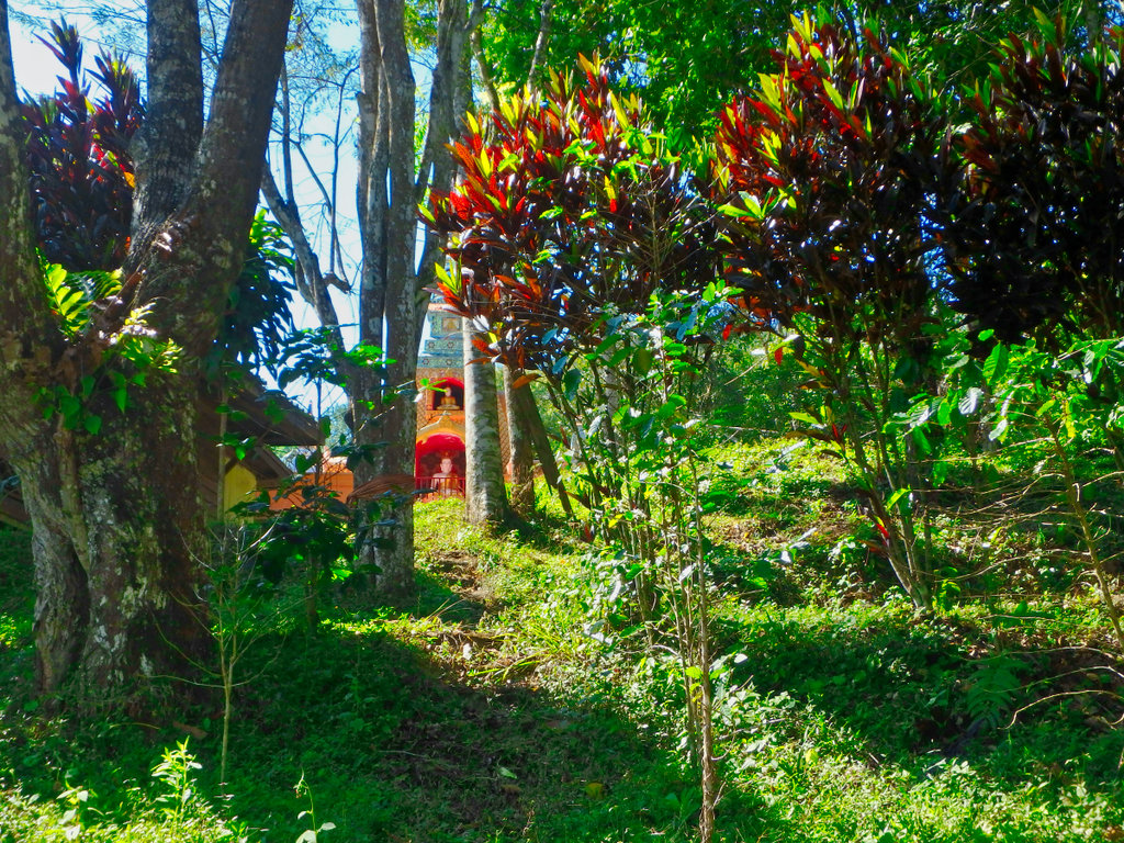
Not a sign of a monk anywhare.
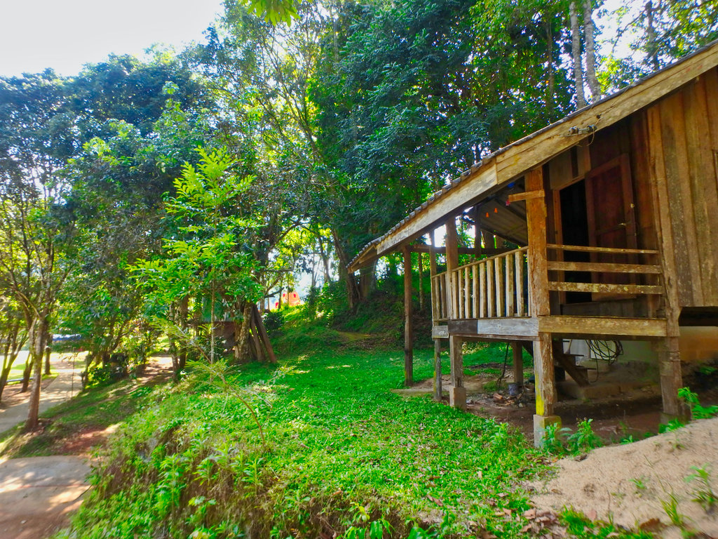
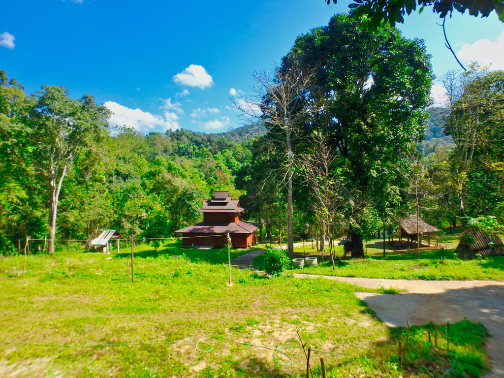
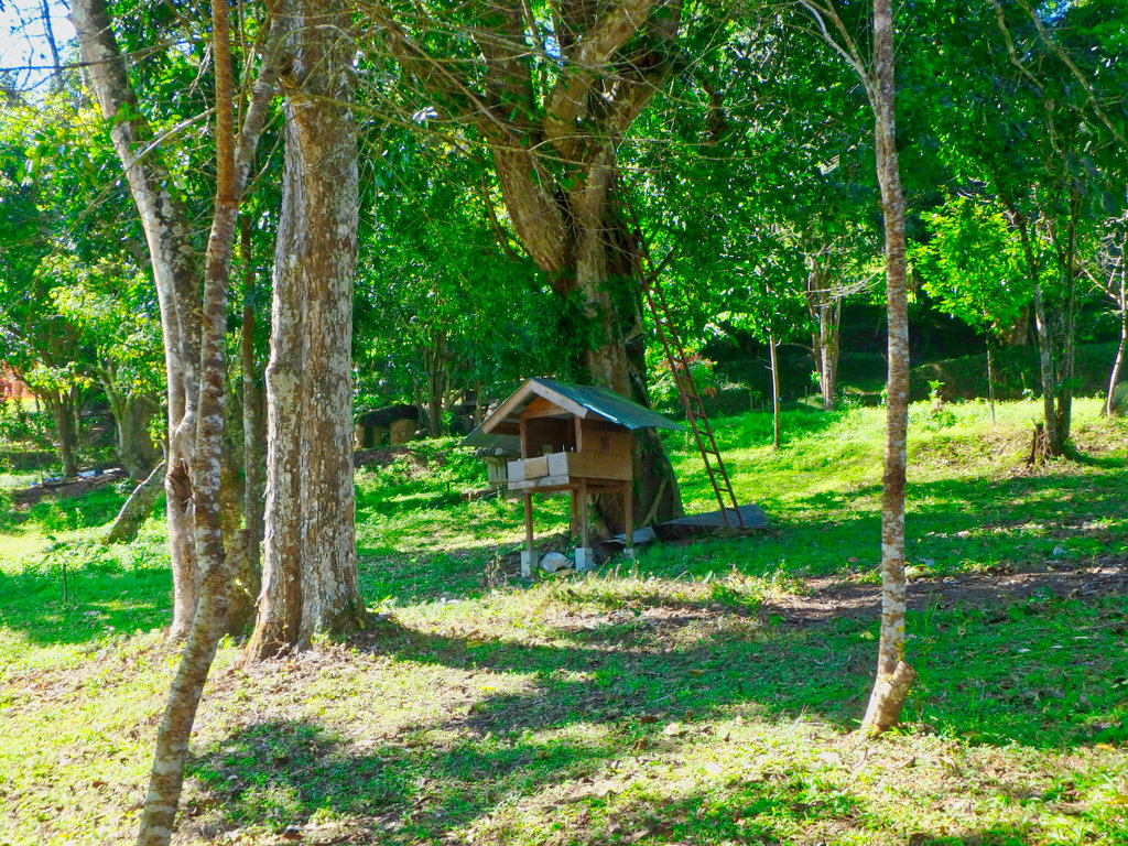
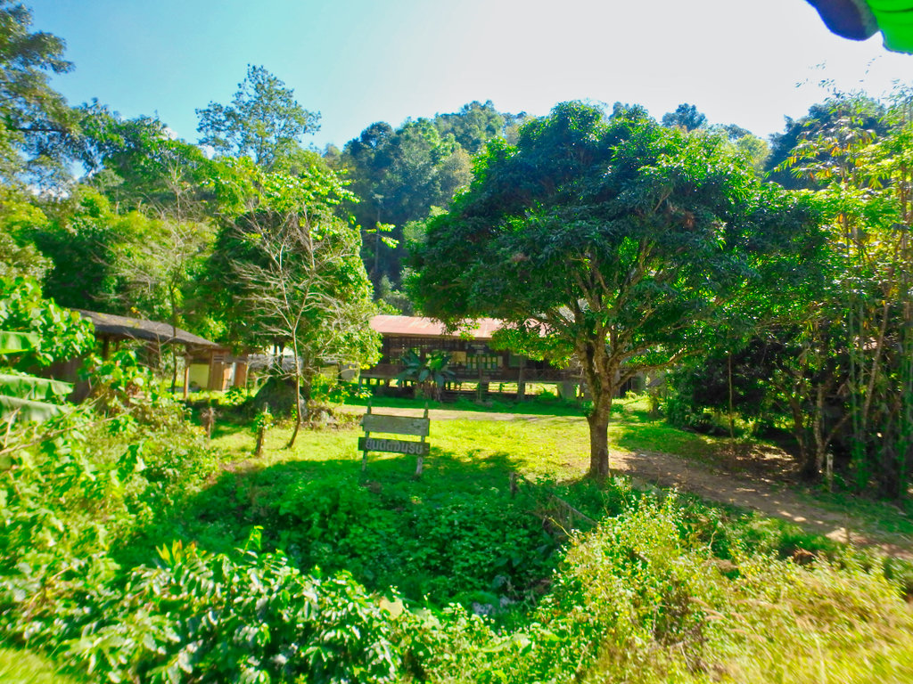
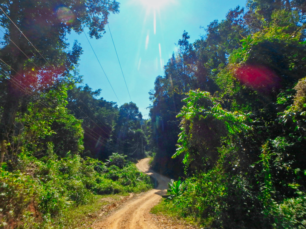
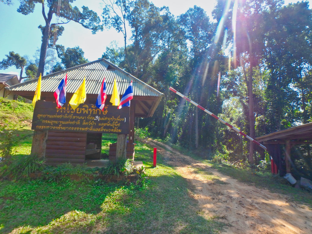
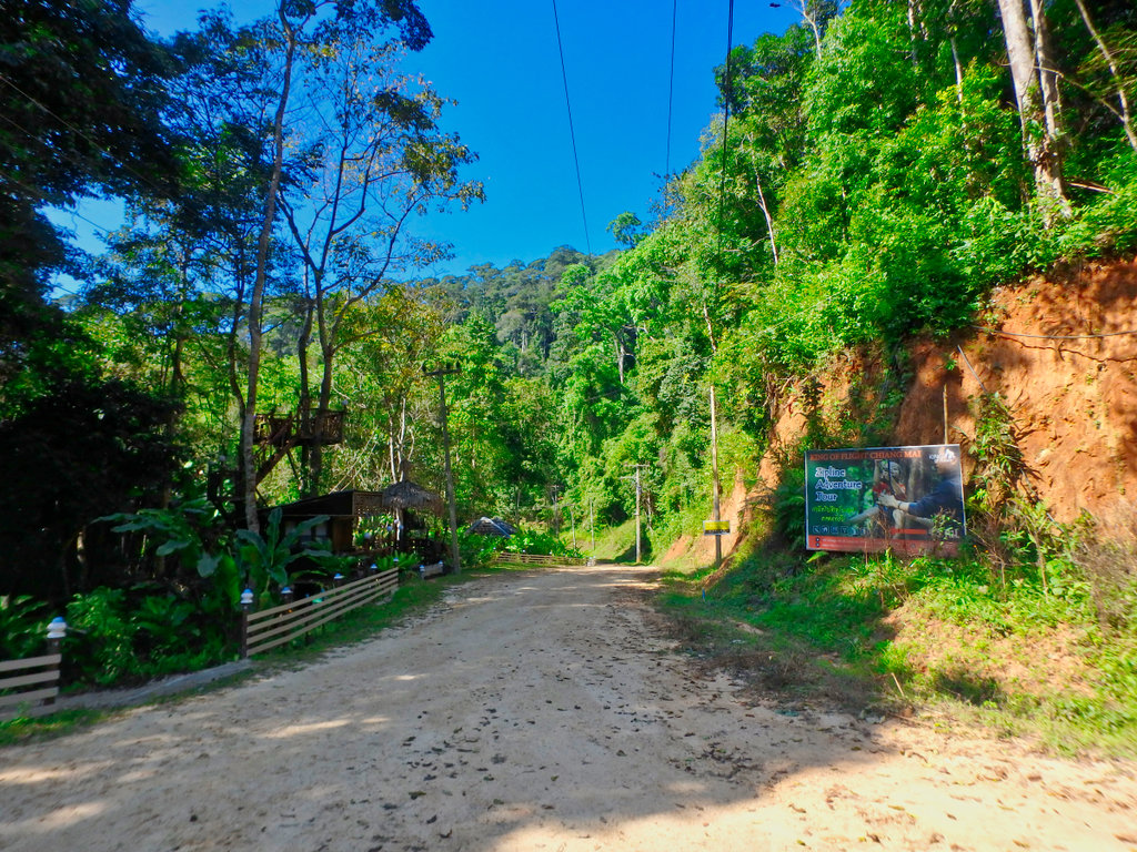
Tourist zip line venue, best move on.
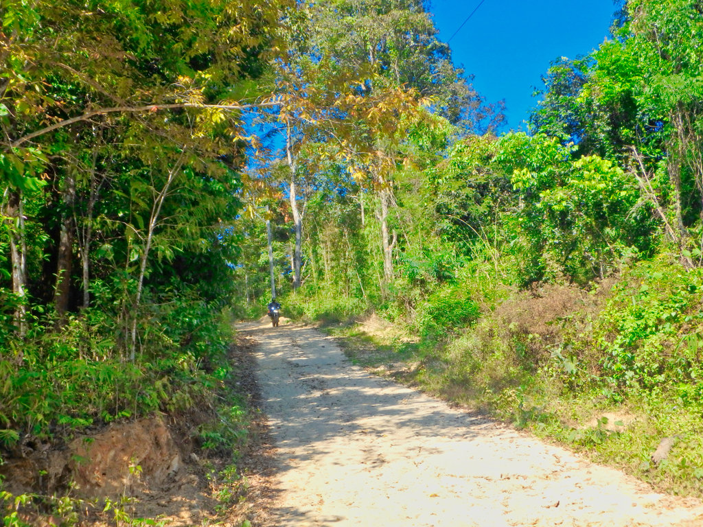
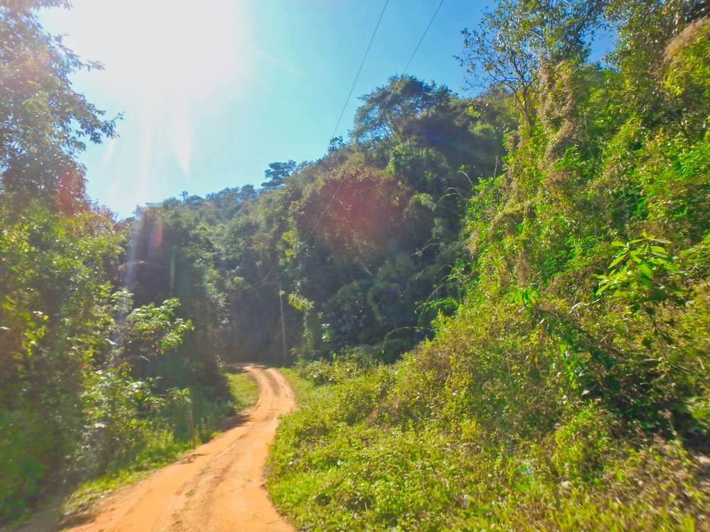
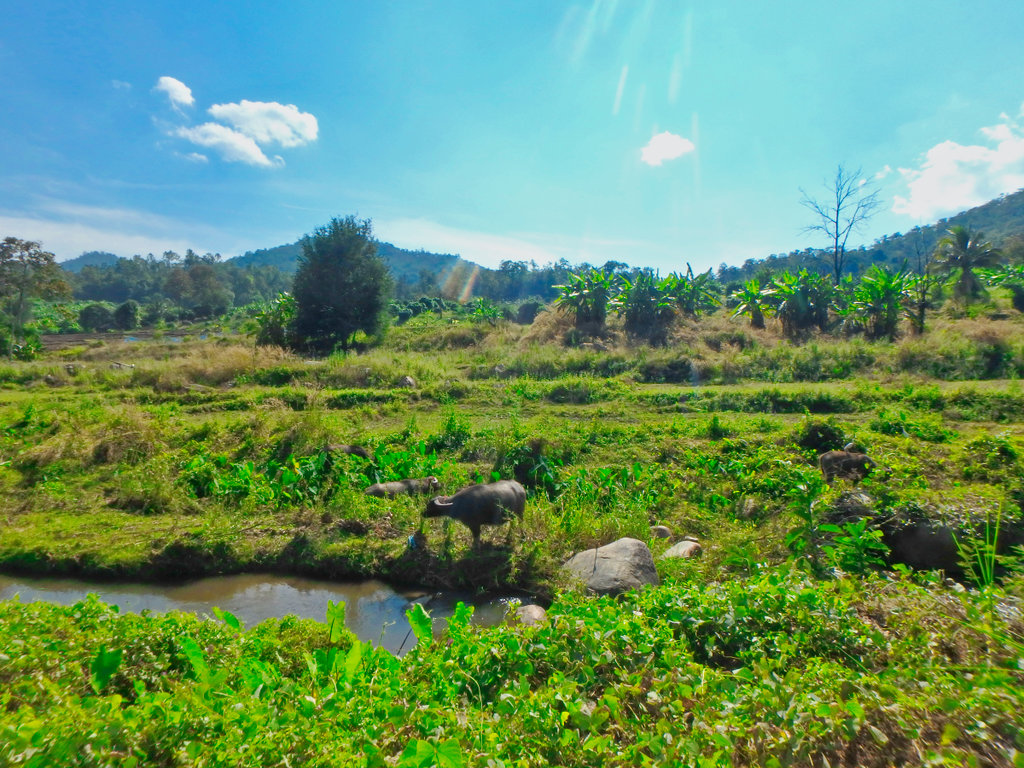
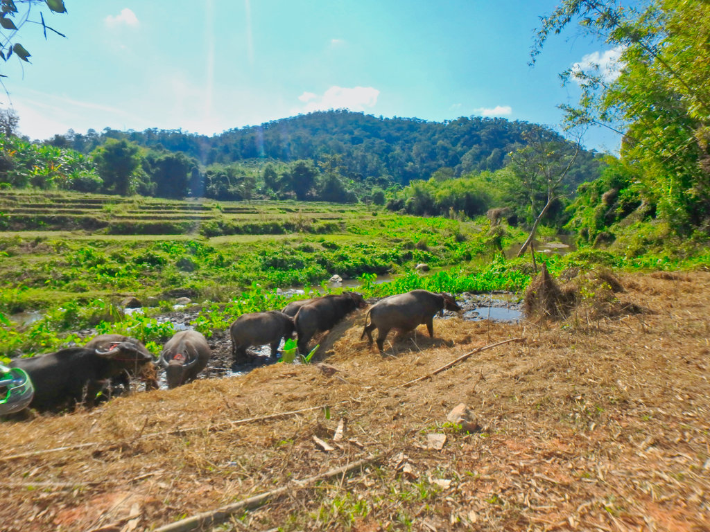
Almost at the end now, this water buffalo feeding station convieniantley set upo roadside for the convoys of 4WD tourist can get some shots.
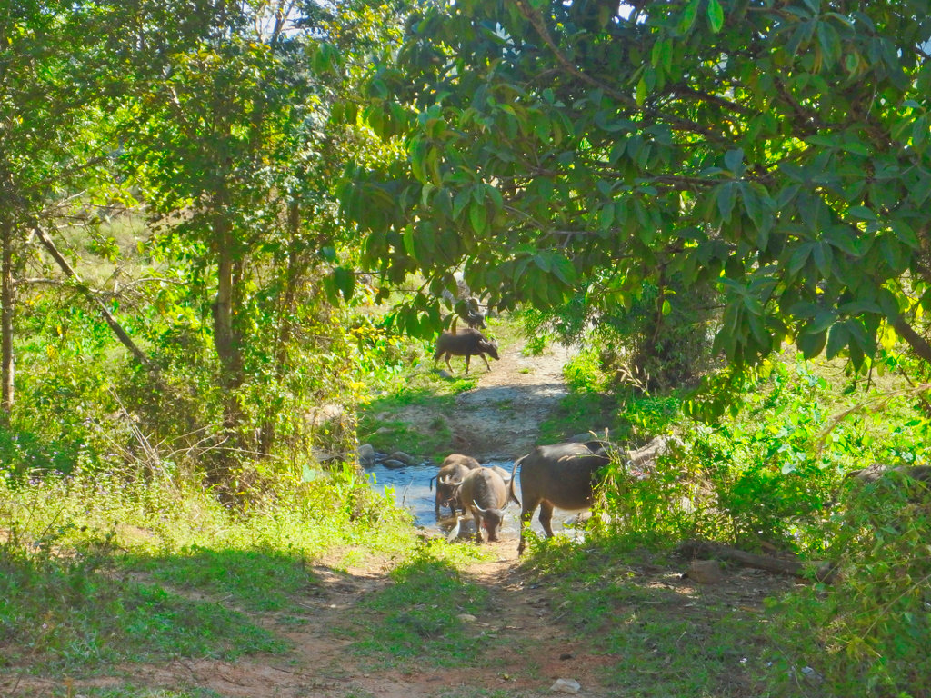
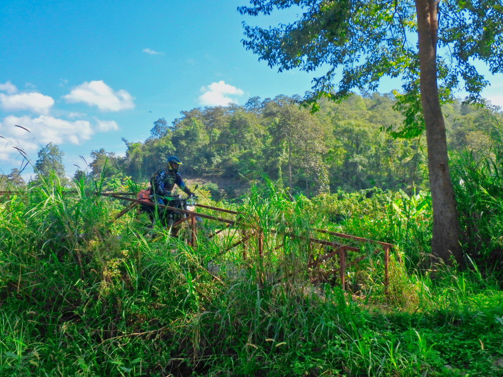
The landmark iron bridges now redundant and paved roads now pass them by.
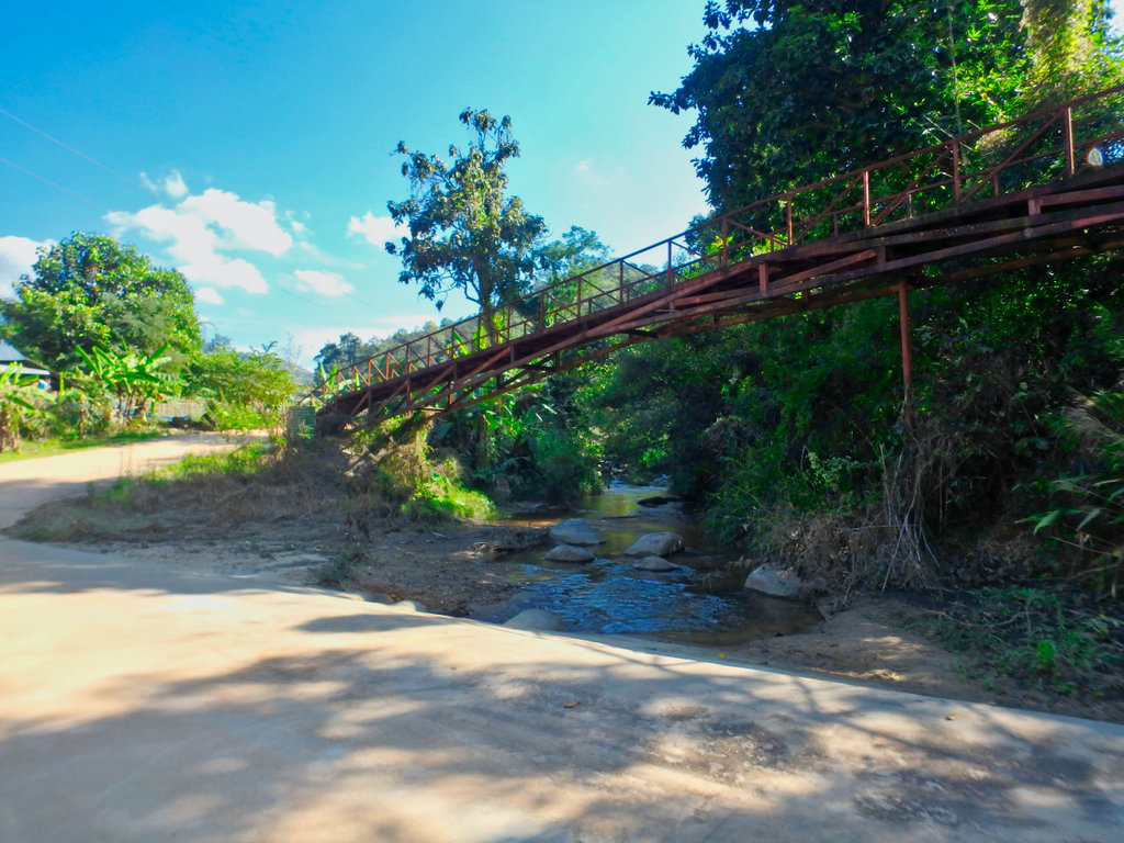
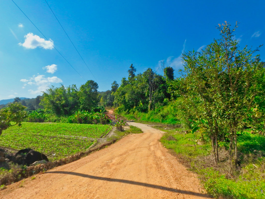
The 2nd bridge maks the end of the trail as we reach the village of Ban Pa Hat.
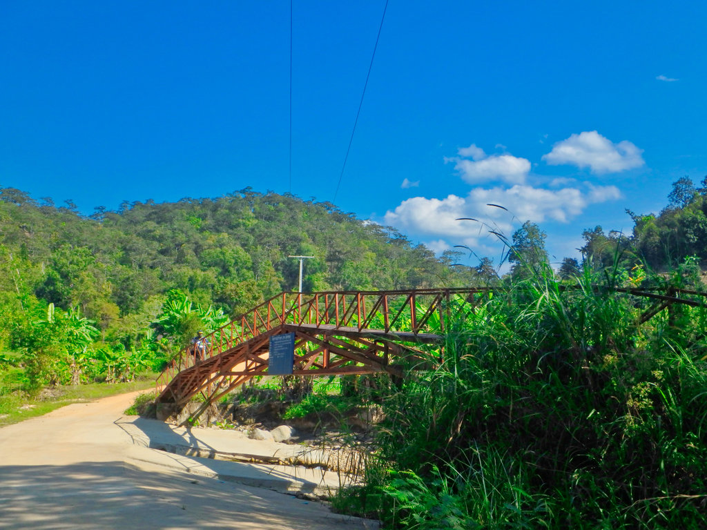
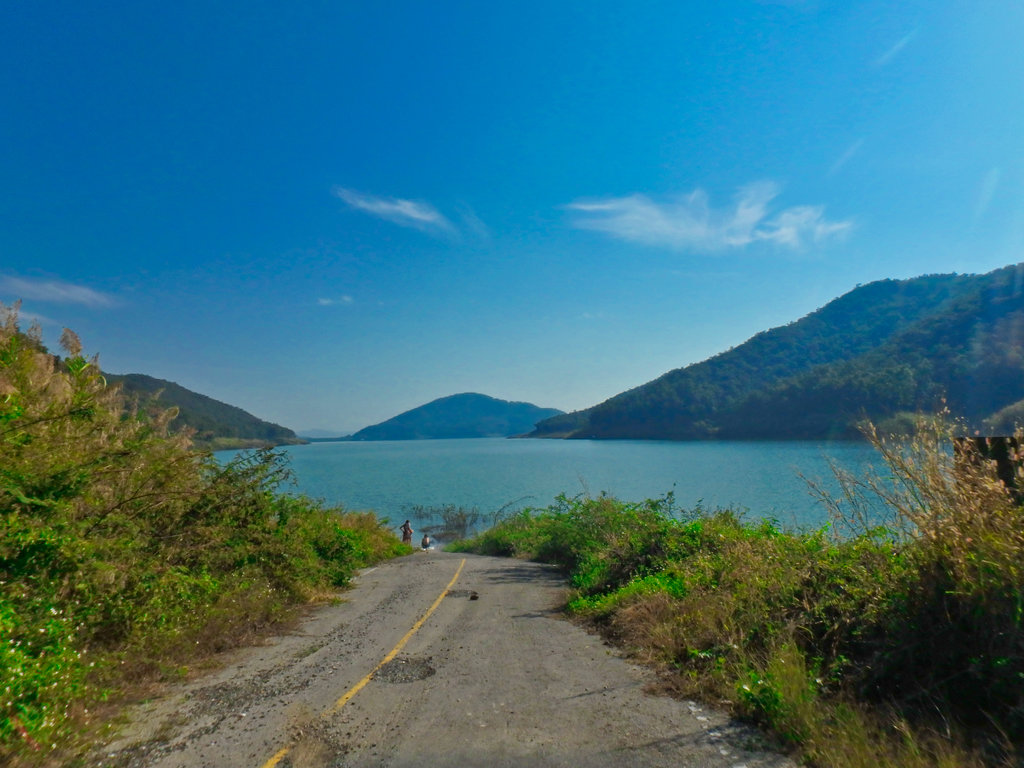
We make our way to the old ferry point at Mae Kuang, now only a couple of skinny dippers looking for a quiet swimming spot.
Double back tot he graded road to the new bridge over the reservior.
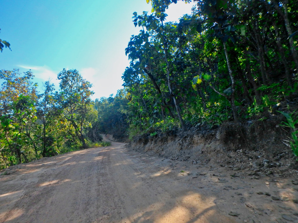
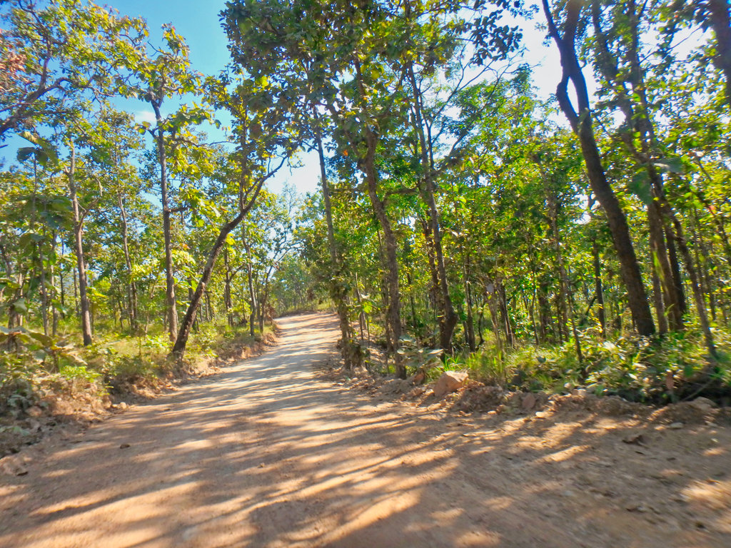
What a strange structure it is.
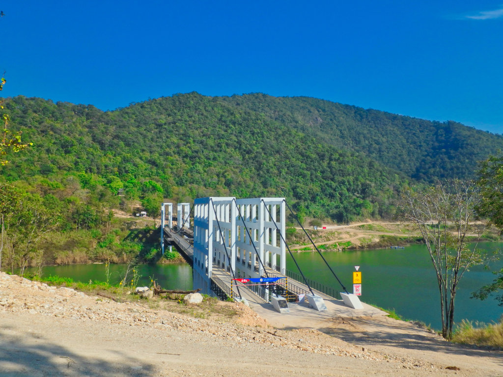
Signs already of the decking plates coming away, its only been open a year or so i think.
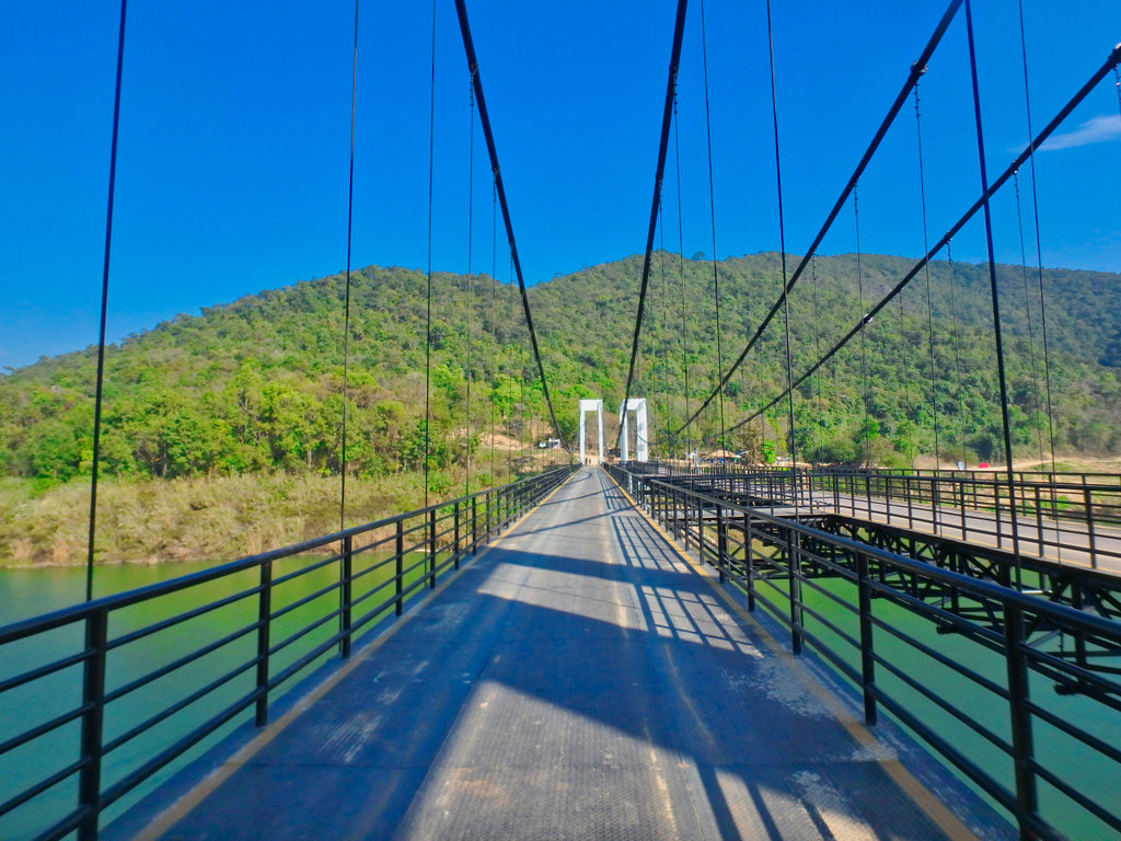
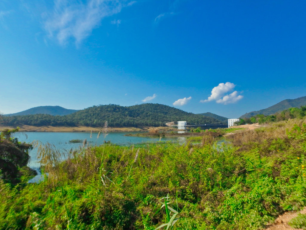
Once across it was back into the heaving traffic in Chiang Mai and enjoyable day taking in a lesser know route.
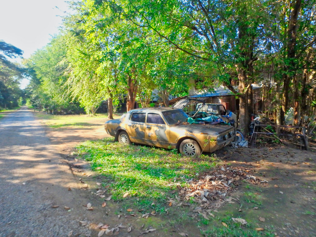
Spotted this old Toyota Crown, was a luxury vehicle back in the day, sad to see it end up like this.
The route is only 244 km but enjoyable and scenic and could form part of other loops out of CR heading South towards the 120 and back, GPX file to follow.
The Baja all scrubbed up after the Cambodia adventure.

The route taking a small part of the 118 to link up to the bridges trail.

Parts of the paved section of the 3186 almost gone now after the rains.

Soon heading West through Doi Luang NP nice and slippy.

This stretch is prone to landslides hopefully all clear today.

The forest sections provide some nice relief from the early morning sun.

There are a couple of options on this trail, this one being the more difficult of the two to get the spider sense tuned up.

Skinny ruts filled with leaves can easily catch you out.


This perhaps the most troublesome, it is steeper than it looks and the broken shale makes it hard to get traction.


Des pushing on up the steep section.

Several small stream crossings but nothing to worry about.


The fast section through the trees is great fun.


The end of this trail is marked by a short ride through the riverbed and a chance to wash off the bikes.


Doi Luang rangers station

Heading to the 118 now at Pong Nua. From there 10km on the 118 to Wiang Pa Pao and make the turn for the well know bridges trail.

Stop at the Doi Ngung reservoir looking very low for this time of year.


Another large Buddha on the skyline with an equally large stupa.

I was surprised how much the bridges trail had changed, I am sure it will be paved eventually but for now, it's still a pretty trail with spectacular views.

New bridge work a sign of the progress and demise of the dirt.

Lot's of good camping options along the way to make an overnighter.


Riding through the valley hard to imagine you are just a few km from the busy 118 hwy.

Rangers station with camping area by the river.


A considerable amount of money being spent on the grading of the road.


Soon we pass the roadworks works and the trail turns back to what I remember.


The steepest climb but still easy going even for a scooter.


The trails splits off in several directions, some are simply loops to homestays, others head back tot he 118.

One thing you notice straight away is how well the villages are kept, almost model villages, presumably for the tourist visitors.


Here we turn right through the arch.


Bizzare looking Wat and monks accommodation building totally out of place to the rest of the village.


Tourist OTOP village.


We came across this place many signs in English, not sure if it was a hot spring or some kind of monks hideaway, but very well done and big money spent.


A little further a monks retreat of some kind.

Again like most things along this trail all well manicured.


Not a sign of a monk anywhare.


Tourist zip line venue, best move on.


Almost at the end now, this water buffalo feeding station convieniantley set upo roadside for the convoys of 4WD tourist can get some shots.


The landmark iron bridges now redundant and paved roads now pass them by.


The 2nd bridge maks the end of the trail as we reach the village of Ban Pa Hat.


We make our way to the old ferry point at Mae Kuang, now only a couple of skinny dippers looking for a quiet swimming spot.

Double back tot he graded road to the new bridge over the reservior.


What a strange structure it is.

Signs already of the decking plates coming away, its only been open a year or so i think.


Once across it was back into the heaving traffic in Chiang Mai and enjoyable day taking in a lesser know route.
Spotted this old Toyota Crown, was a luxury vehicle back in the day, sad to see it end up like this.


