All-Weather dirt trails SW of Doi Suthep

KTMphil

Senior member
Joined
Jan 11, 2011
Location
Chiang Mai, Thailand
Bikes
2007 KTM 990 Adventure Suzuki DRZ 400
All-Weather dirt trails SW of Doi Suthep

With the heavy rain in the last few days, the Ping river has been 20cm below flood level.

A bit concerned about how wet the trails might be, Alex & I planned a route today that we hoped would be ok & it worked.
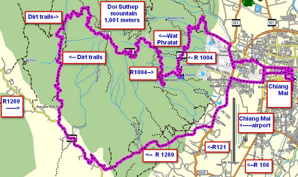
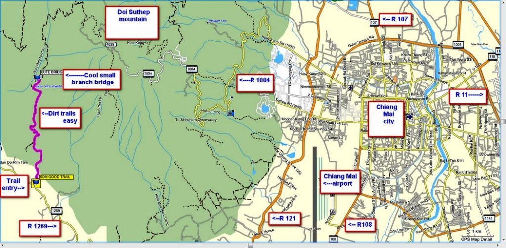
tracks sw of dst with alex with notes.jpg


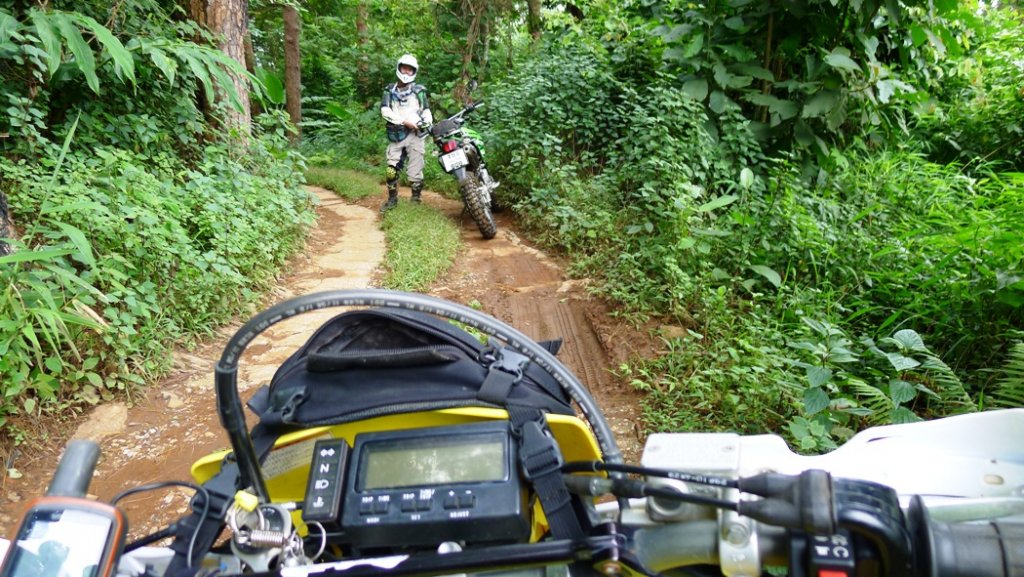
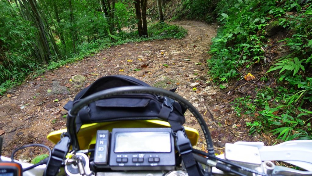
The trails we picked had lots of rock and sand, which could have been done at any time of the year

6126109407_23c966c0d2_b.jpg


Even the clay sections were pretty dry and there were very very few greasy sections

6126116519_57e31333ee_b.jpg


6126659162_c4f47c44c1_b.jpg


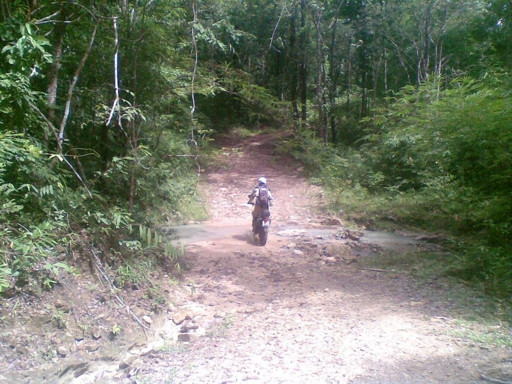
The stream and river levels weren't as high as I was expecting
sw dst 1.jpg

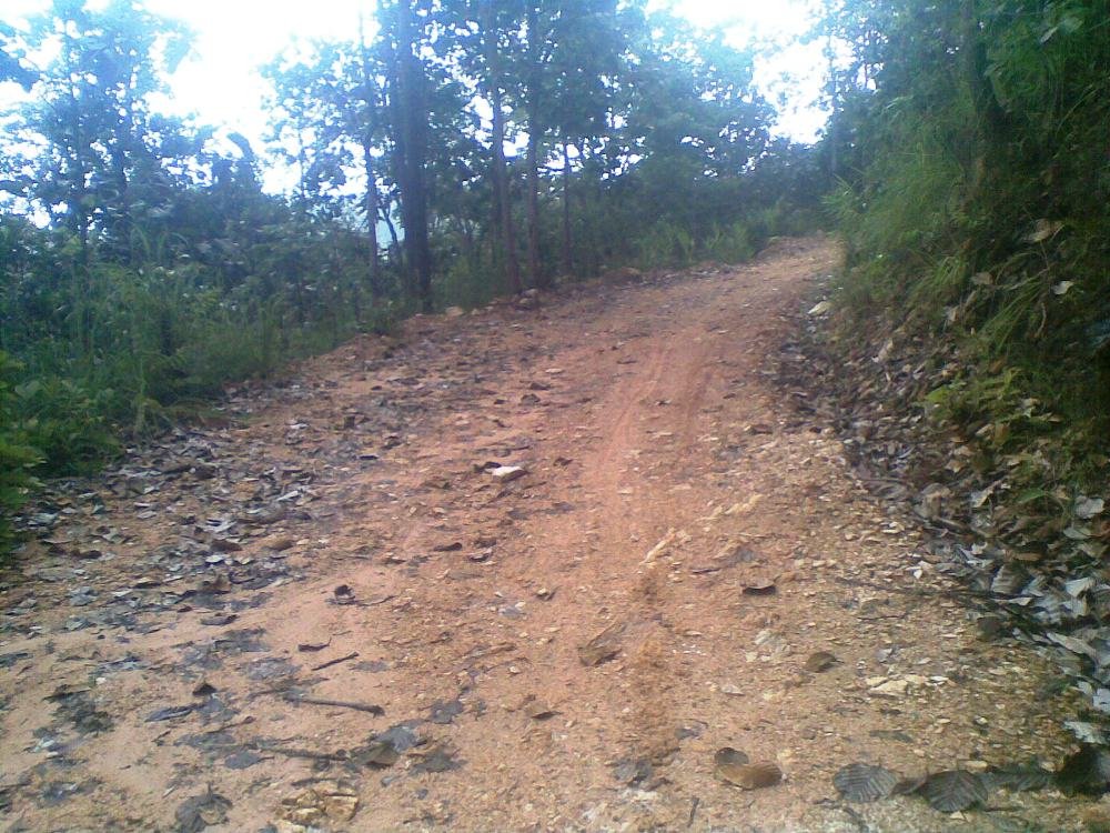
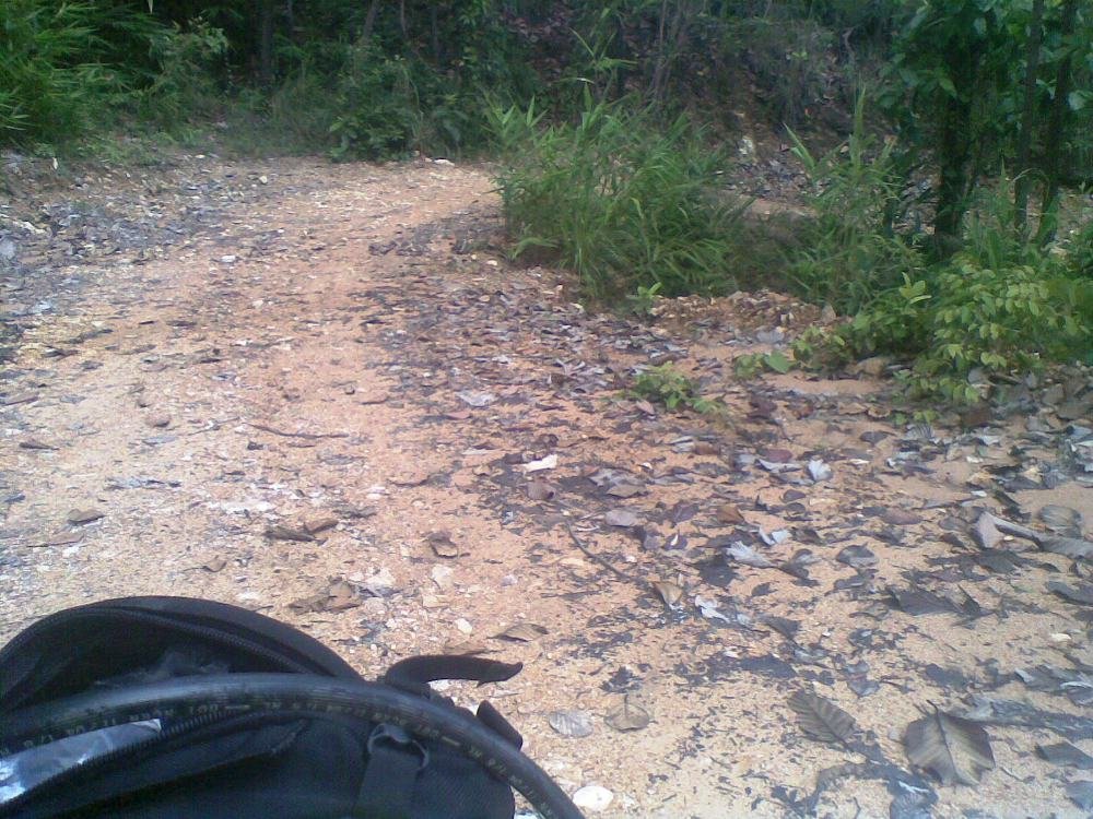
Lots of very sandy trails on this route, meaning that the rain water soaks through quickly leaving the surface very predictable
sw dst 3.jpg

sw dst 4.jpg


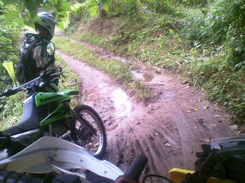
Couple of muddy areas, this was about the worst of it
sw dst muddy.jpg
 
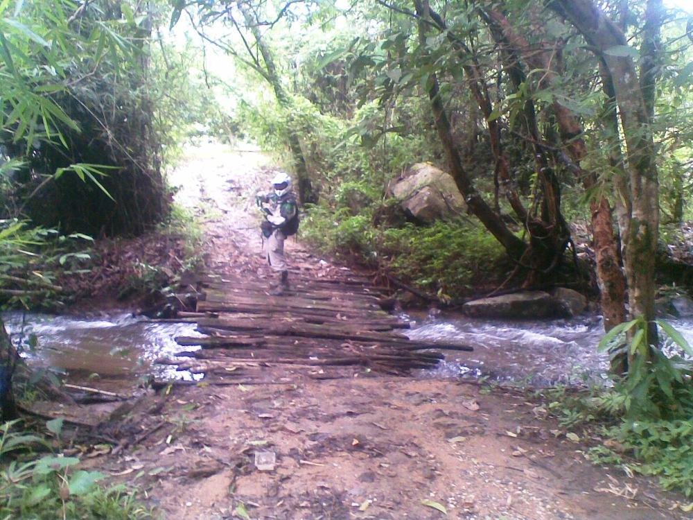
AT the SW end of the trail there is a very cool wooden bridge made of tree branches. map of it's location below:

sw dst with alex bridge and entry zoom.jpg

Trail entry GPS co-ords from R1269 (Samoeng loop road southern side) are:

18 deg 46 17.4 north

98 deg 52 00.5 east


Tracks indicate that pickup could get across this branch bridge which was pretty interesting

6126112593_e33c772532_b.jpg
\

sw dst bridge.jpg


6126114015_4229e90778_b.jpg

In the map above, where the trail come out onto R 1269, there is a government guard hut - Alex thinks that they will tell you that you cannot eneter by motor biked there (he says there's also a sign indicating the same), so it may be best to come from the north as we did. It would be better clockwise (entering from the south, from R 1269), as you would be going up the mountain with lots of up hill sections.
 
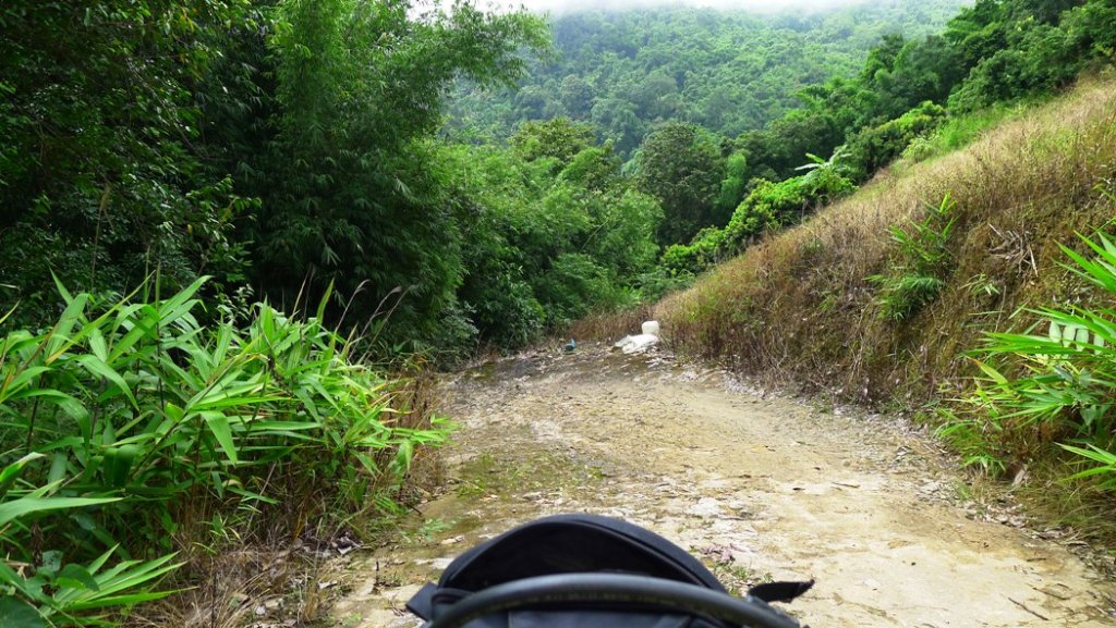
Beautiful views in rainy season on this route

sw dst 10.jpg


Some concrete section in the worst steep areas

sw dst 11 alex concrete.jpg


More great trails


sw dst 12.jpg
 
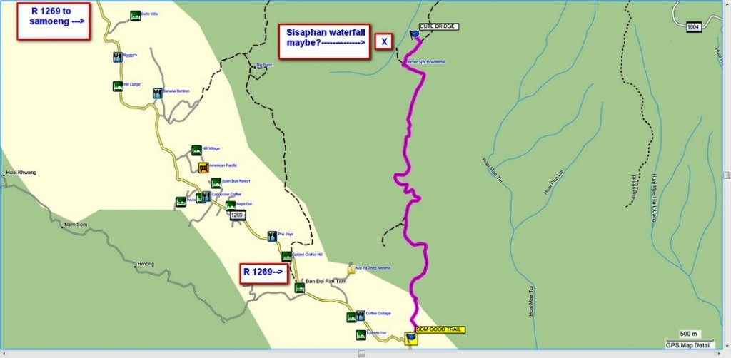
Sisaphan(?) waterfall is supposed to be along there, but I havent found it yet.
An interesting start trying to find the right path in the village
 
Alex there was some notation on Auk'e GPS map that there was a waterfall north west of this point, maybe where i've put the "X" on the map below, I'll ask Auke if that's the Sisaphan waterfall.


sisaphan waterfall maybe.jpg

alexuk said:
Sisaphan(?) waterfall is supposed to be along there, but I havent found it yet.
An interesting start trying to find the right path in the village
 
alexuk said:
Sisaphan(?) waterfall is supposed to be along there, but I havent found it yet.

If you're coming from the North, you exit the area with the Lynchee trees and stuff (after you've passed the last wooden bridge) and the road changes from mountain truck road to sandy, graded national park road. At this junction, you can go left or right (me and you went left a few months ago when we did this).

If you go right, you drive not far (a hundred meters? can't remember) and you see a well-marked (in Thai) sign directing you down a walking trail to the waterfall.

Edit: Yeah I think that's it on Phil's map
 
good to see some off road action ;)
 
MastaMax said:
good to see some off road action ;)


Max- you could take Fon on those trails on her KLX 110 no problem - In fact Keld is attempting them 2-up on a BMW F650 gs later today.
 
Ahh..Maybe not after the rain squall we just had.
Think I will sit it out for now.
 
Ended up doing it again
Nobody I know was going anywhere today,and so I Was headed for the MX track at Mae Rim today, but Dom wasnt there to open up, and someone came round to see the klx300 but it wouldnt start. So sure enough, 5 minutes after he left it started, so I put some new brake pads in and headed up Doi Suthep road to recharge the battery,and get some fotos so I can sell it then go back to the hotel and go out on the new KLX.The road was packed on the other side, I thought no way was I gonna enjoy the ride down in all the traffic so decided to go over the mountain, The bike felt good to ride again, more power. As I got up near the temple the traffic got really bad again, I managed to get through but realised how bad the road over the top would be as its mostly singlelane to the village, and there'd be too many cars on the dirt road down,
So I turned off to the tourist village, which was packed, got a drink, then drove right through the tourists and stalls to the tourist waterfall
6619495531_b13f7fae26_z.jpg
and on my way down this track
6619494713_852e5901db_z.jpg

I did a right at the junction, both tracks join up later
There was nobody on the trails, fresh air, great scenery, and a couple of hours on the bike
6619493669_f7689969f8_z.jpg

This little bridge is really nice place to stop
6619492935_2b1662bf8e_z.jpg

6619492451_a01ae2b646_z.jpg

This bridge isn't a good place to stop, as I found out when I tried to get back on it
6619491811_2fb868dda9_z.jpg


I guess if you're in a car you're probably still stuck on Doi Suthep in all the traffic

Happy New Year
 
Back
Top Bottom