Captain_Slash
Community Manager
- Joined
- Jun 28, 2011
- Bikes
- BMW 310GS Honda Wave 125 Honda MSX 125
Distance 142 km
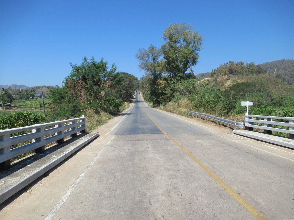
North of Mae Ramat and the 105 quietens down
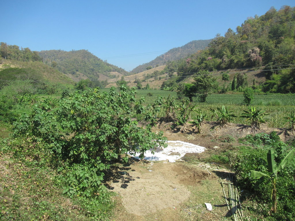
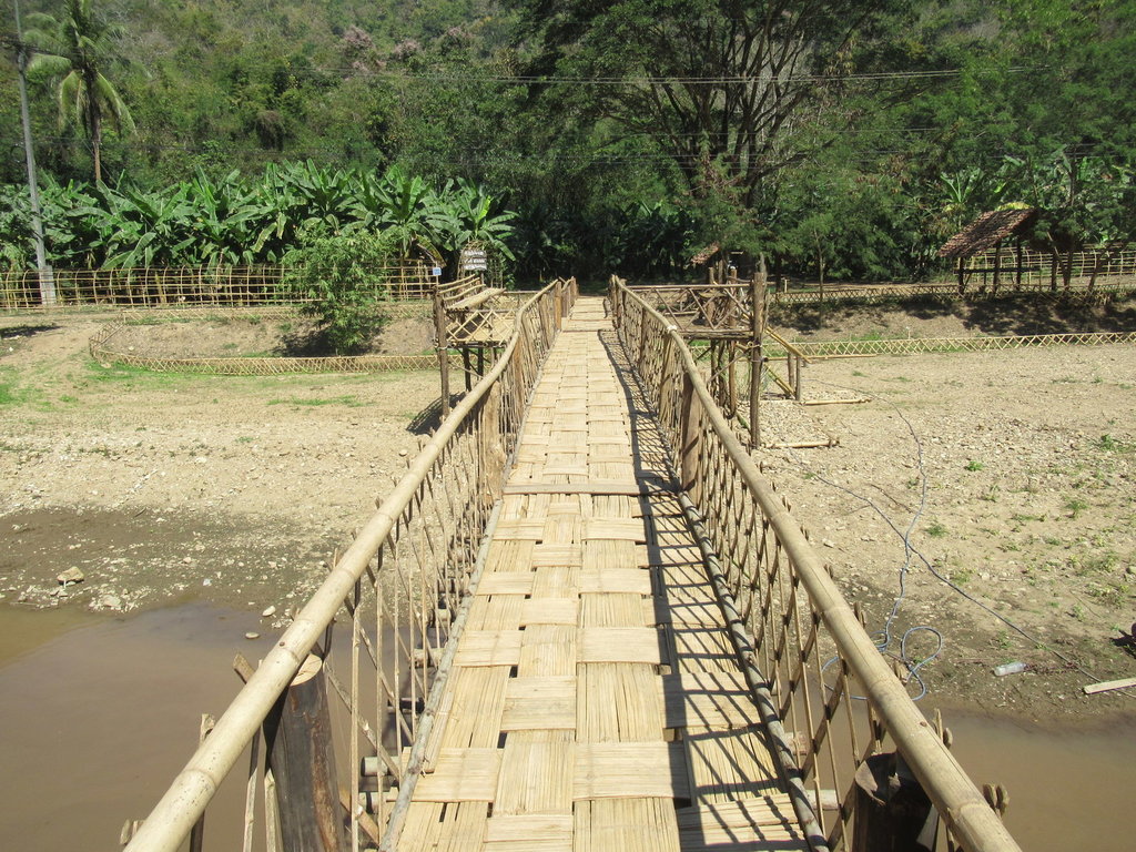
I left a waypoint here on the ride down from Mae Sariang so I could knew where to find it on Google Earth, according to GE I am wasting my time hoping to link up but I need to try it
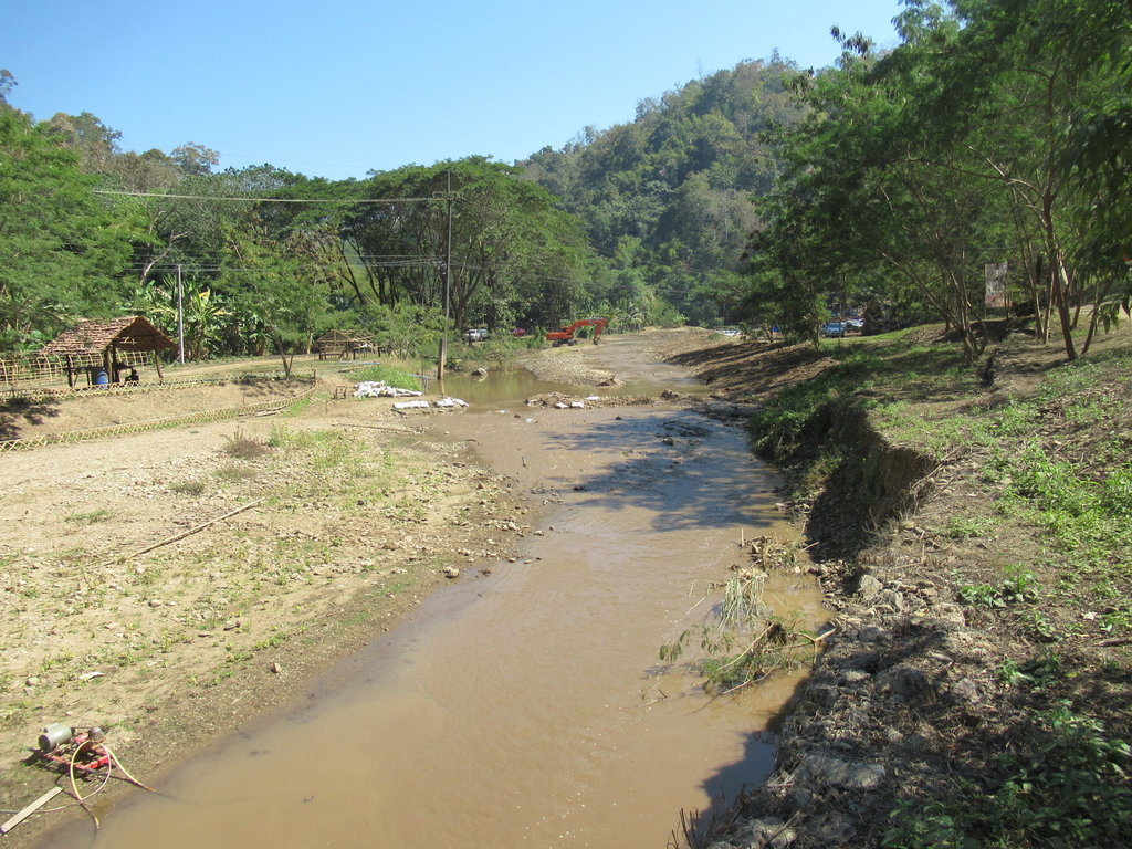
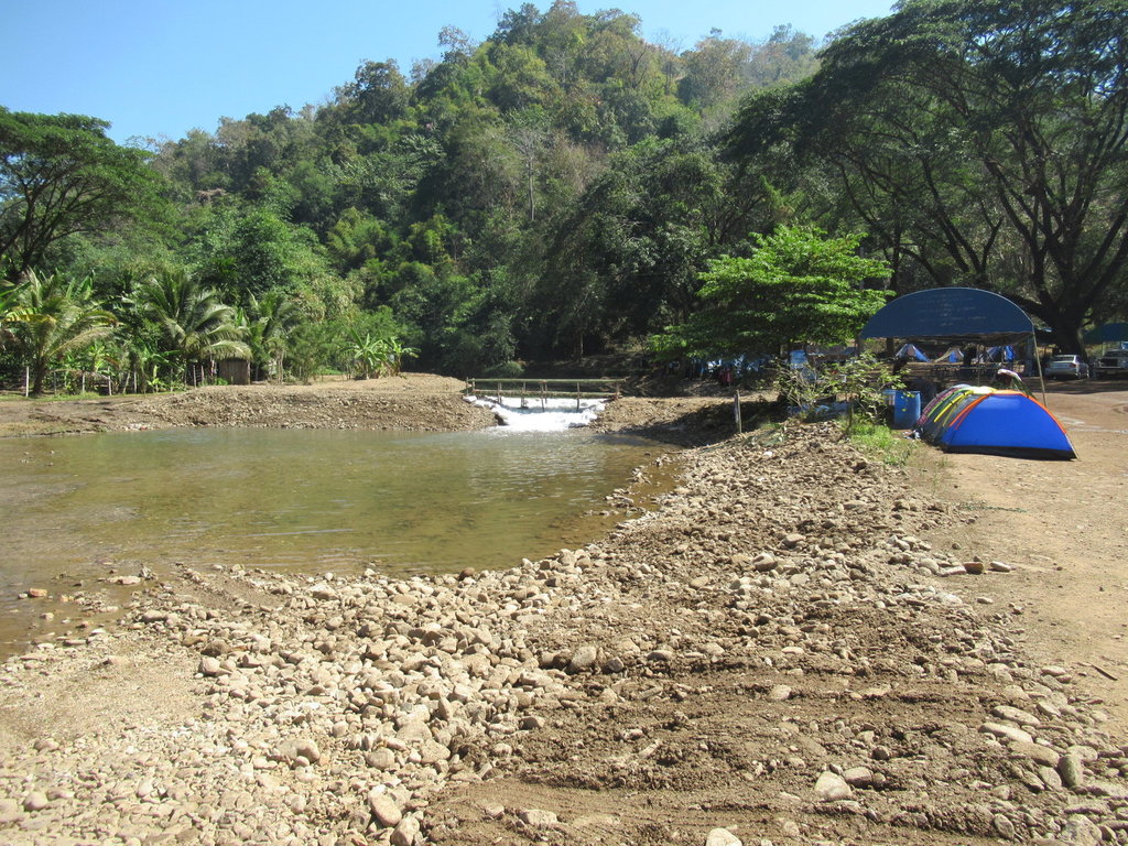
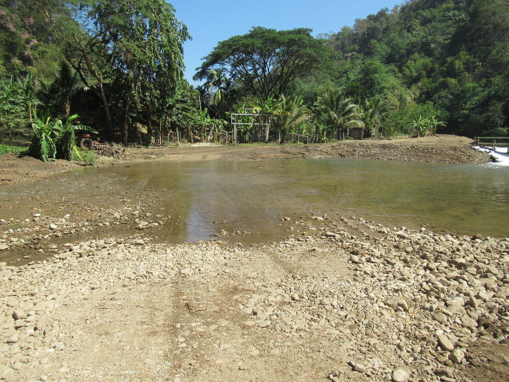
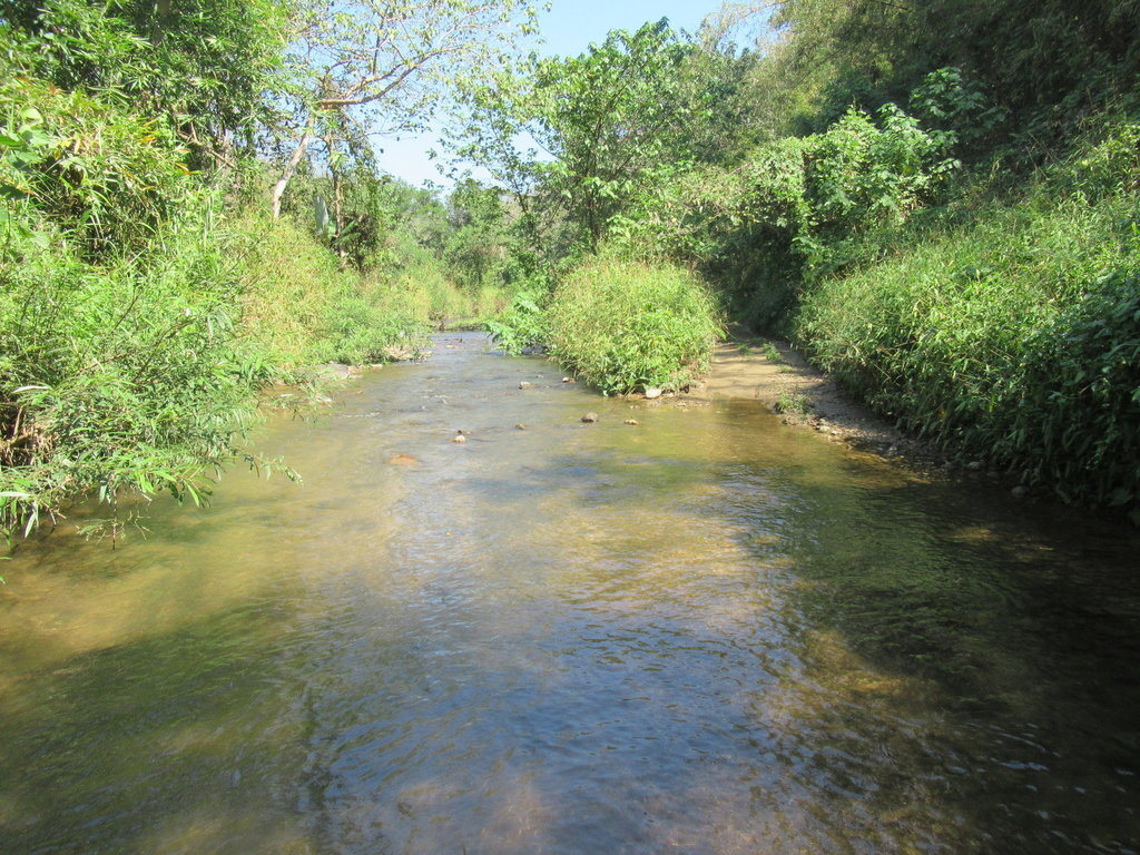
My first water crossing
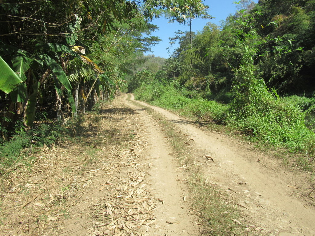
Once through the water its a dry bumpy track
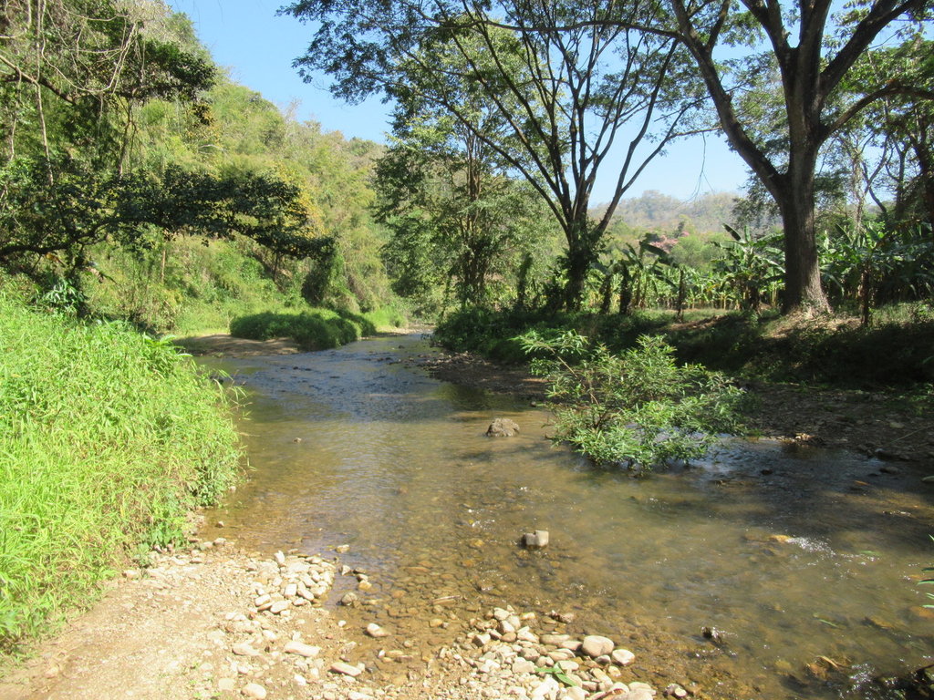
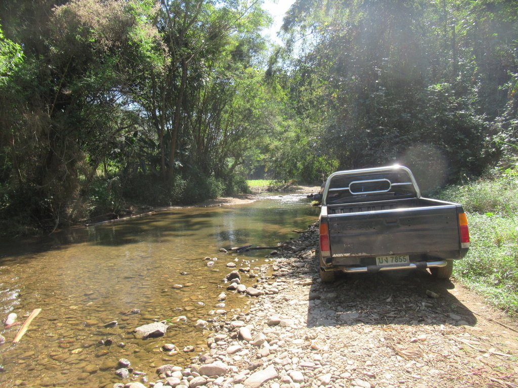
I am not alone at this point
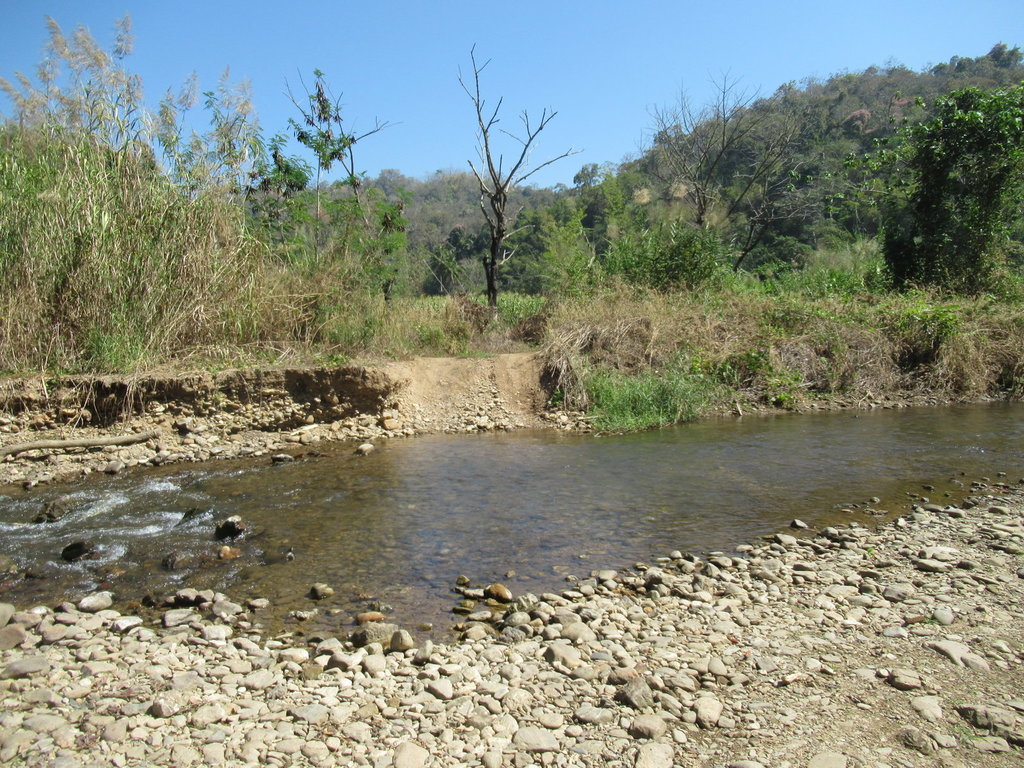
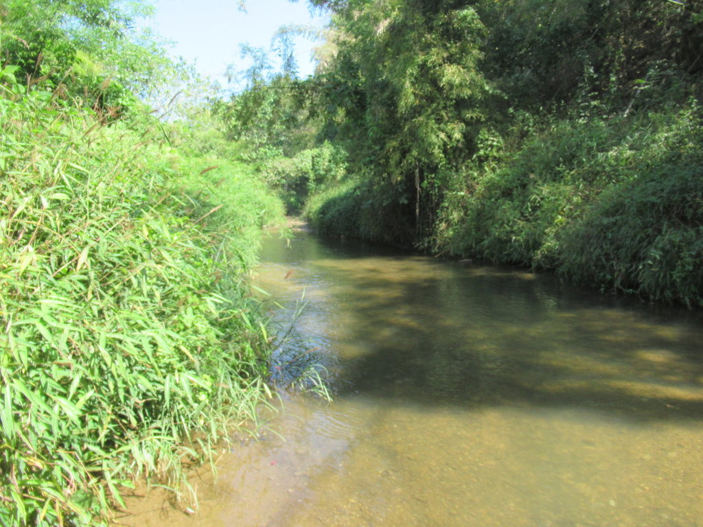
I walked this first and decided not to try it today as the water was a bit too deep, with a riding buddy to help if needed I would have gone for it but didnt want to risk drowning the bike alone
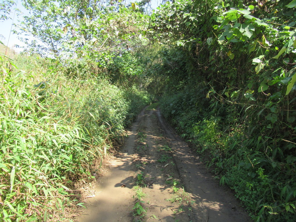
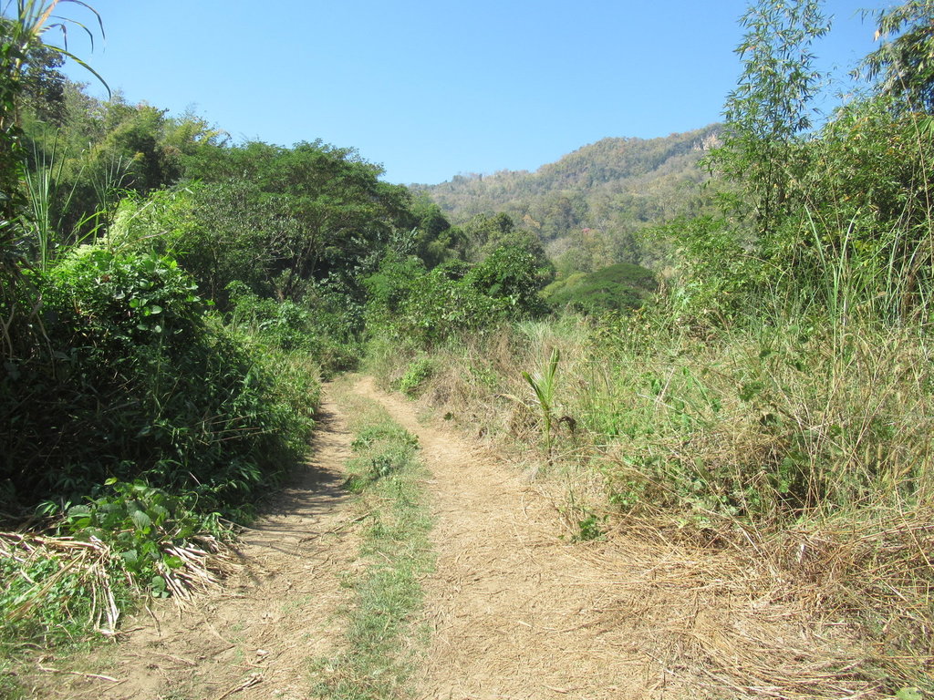
This was the track that carried on but I expect with countless more water crossings
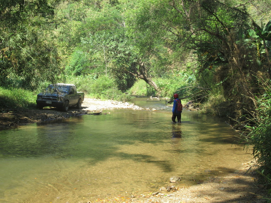
Time to ride back, I was going to ride to where the track ended north east of here but other tracks were located riding back along the 105 and I thought it was a better idea to go there first thing in the morning rather than at nearly midday
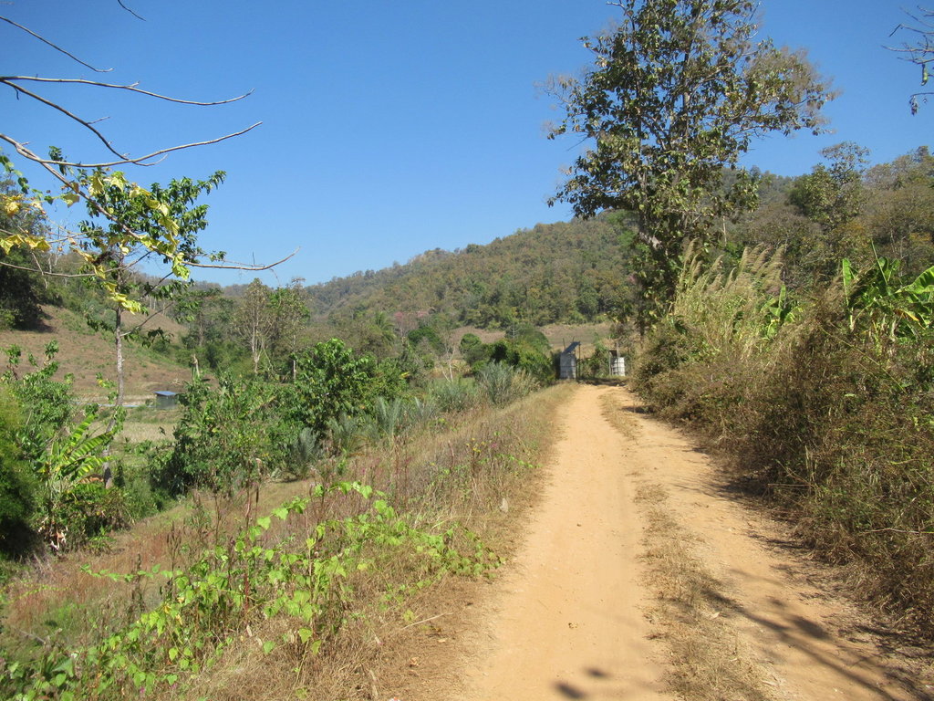
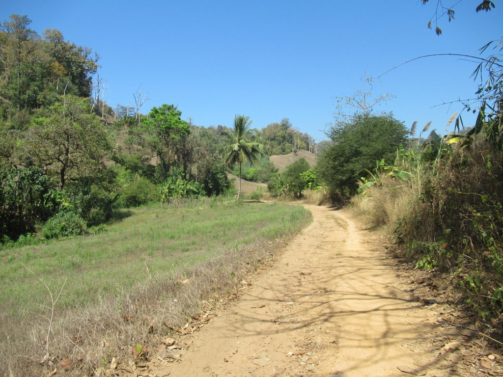
A few tracks that are not on the map were explored today
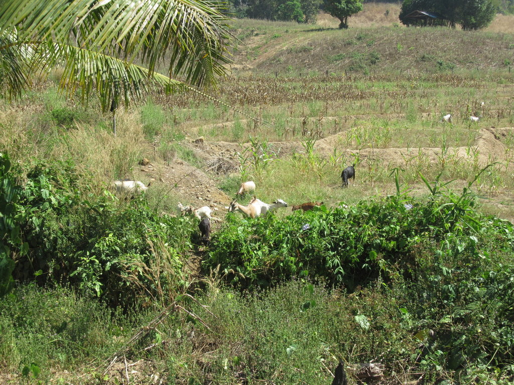
Plenty of goats to keep me company
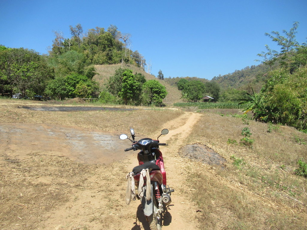
The rack is a useful washing line, I was hoping the boots would dry out riding in the hot weather but they were still soaked when I got home
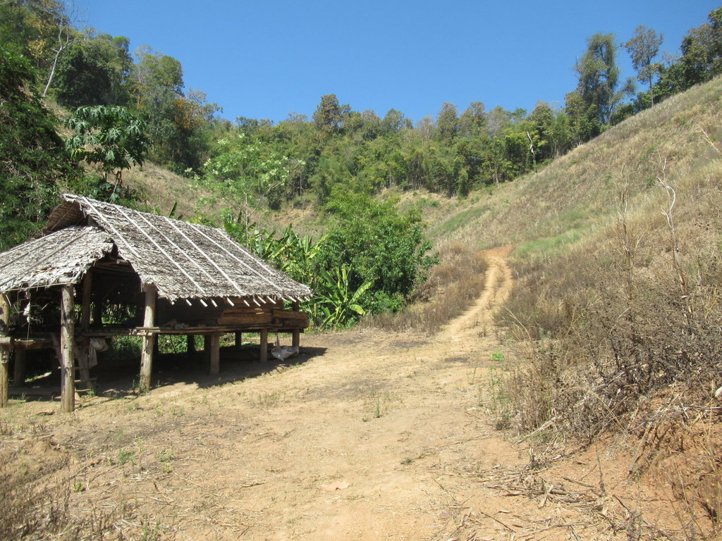
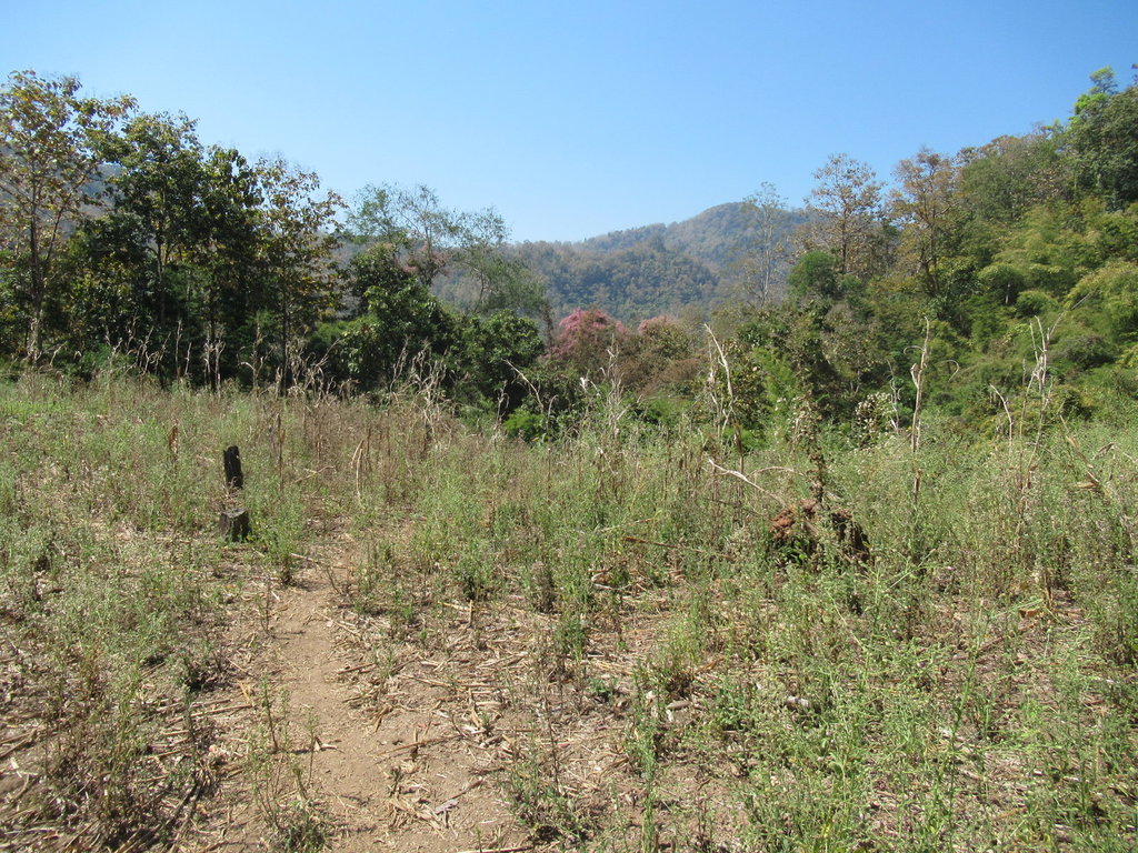
Thats the end of this track
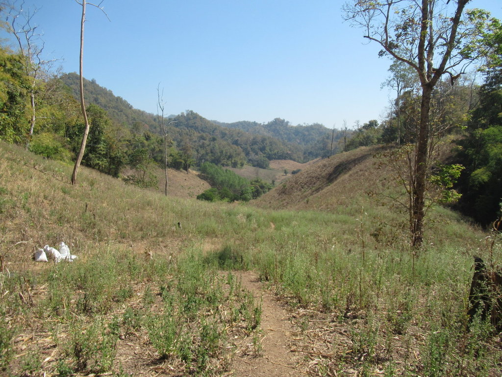
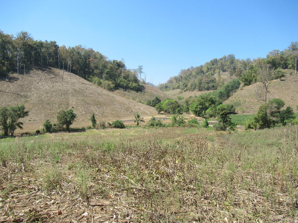
I wasnt expecting any of these to go and link up and they didnt
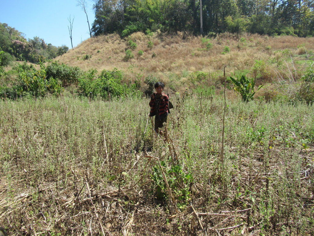
The goatman appears
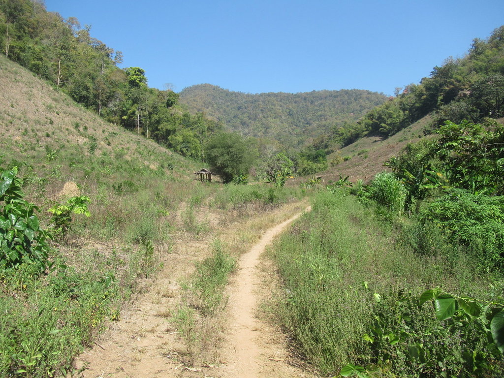
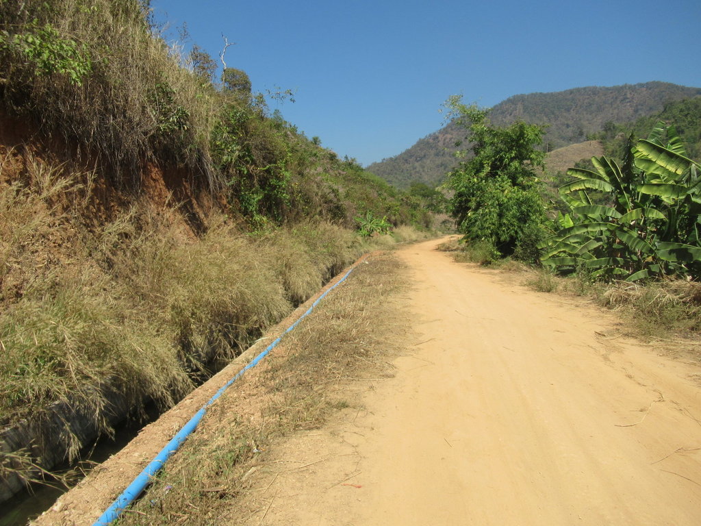
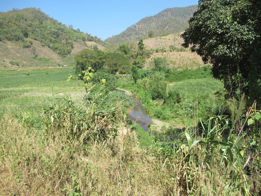
Another track and more water
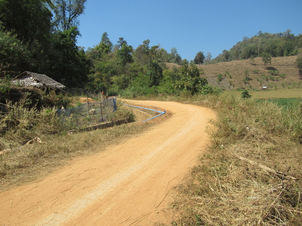
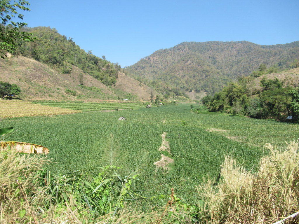
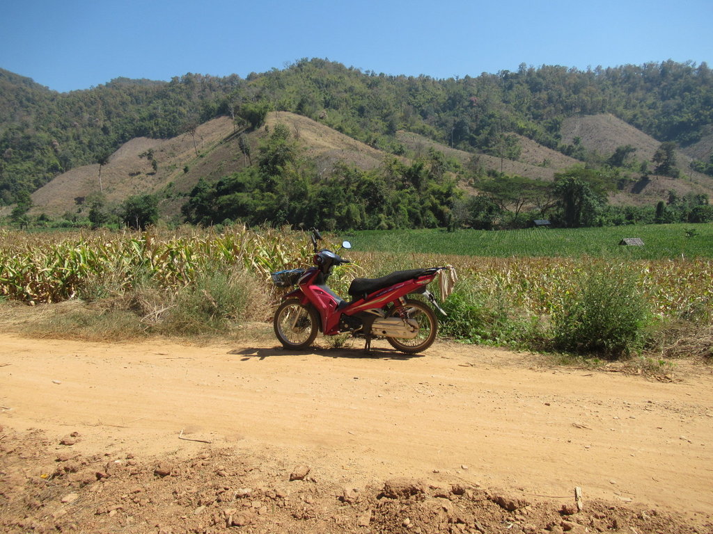
I am in a shelter enjoying my lunch, the temperature is warmer here than I am used to
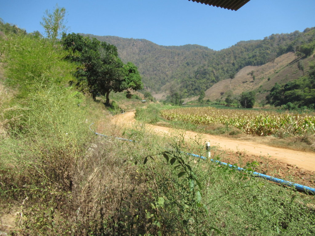
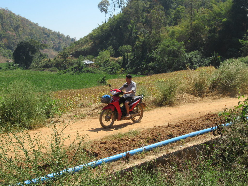
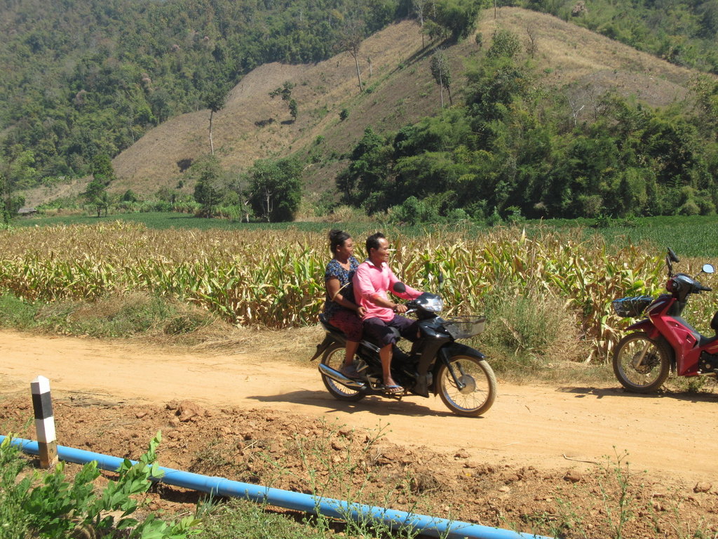
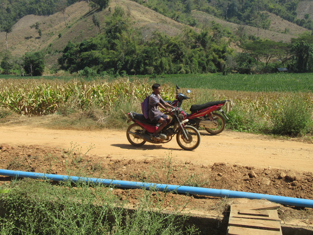
Lots of traffic pass while I am eating
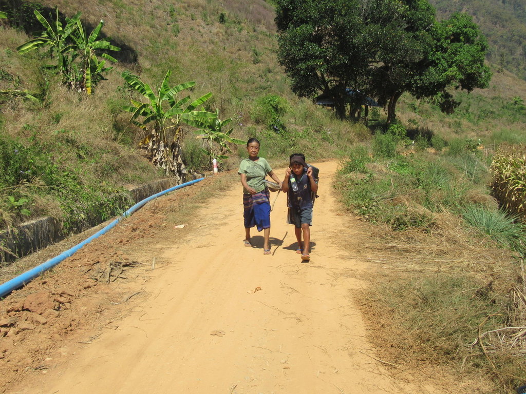
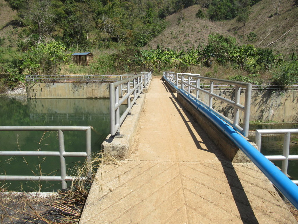
A reservoir up here that is only three years old
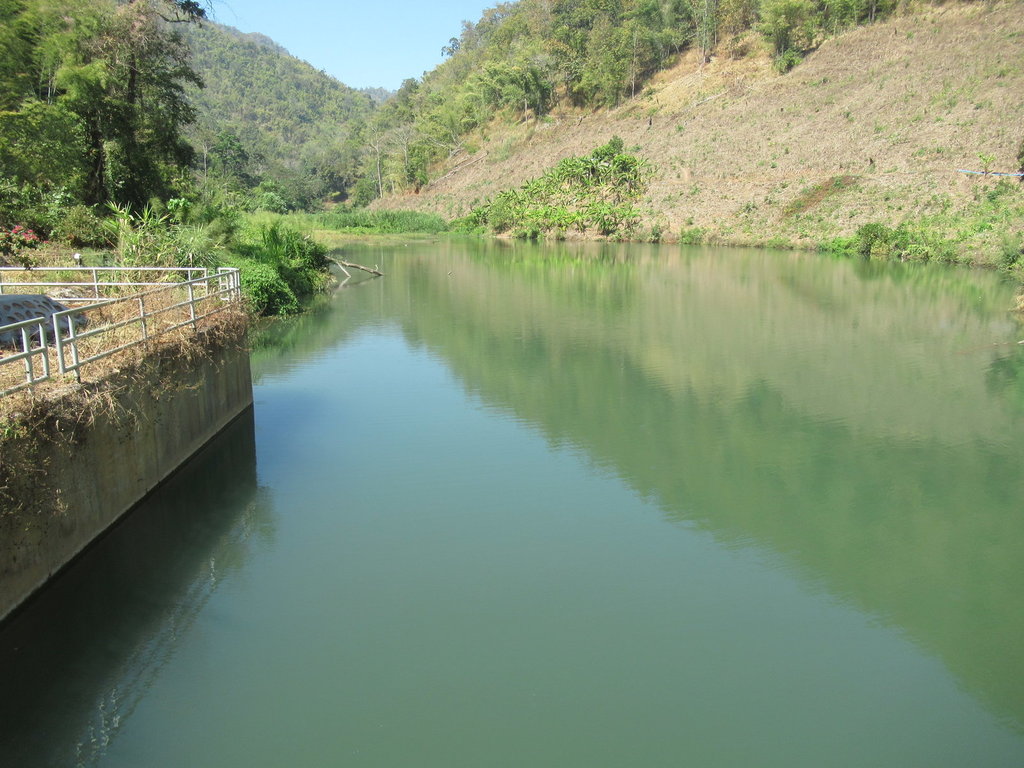
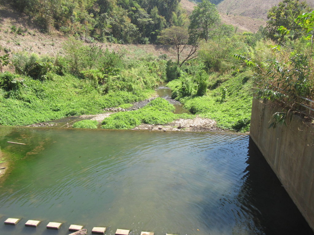
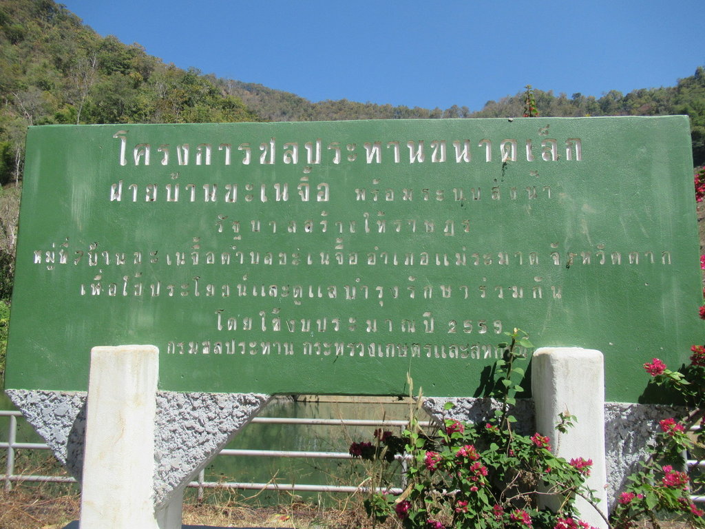
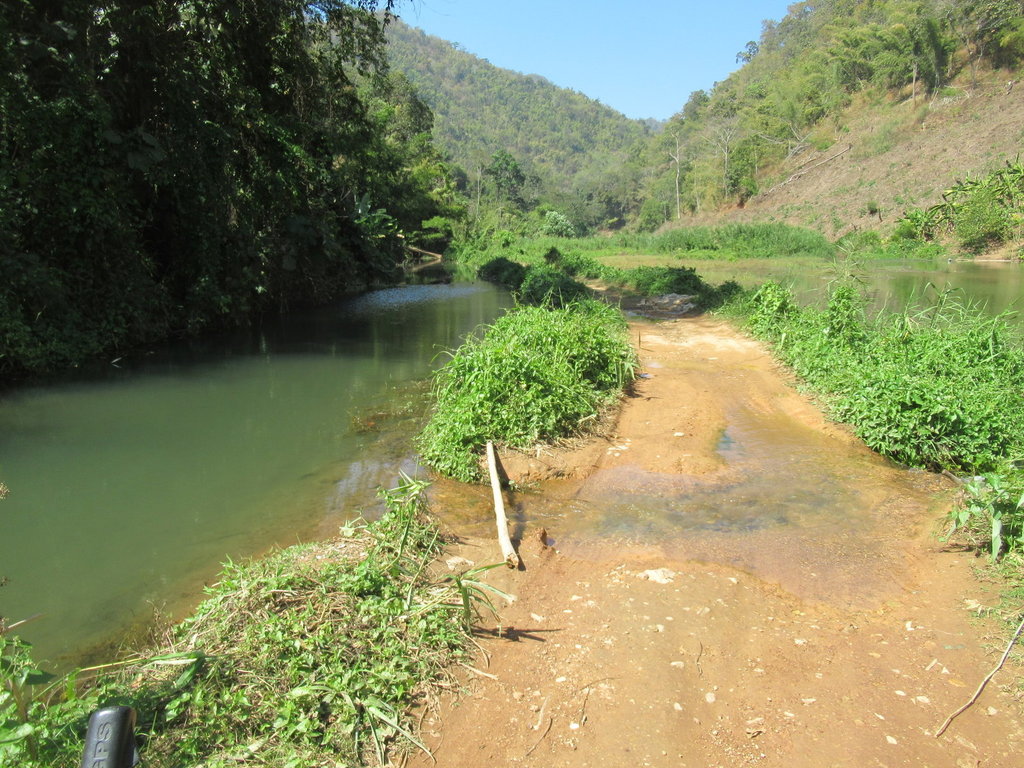
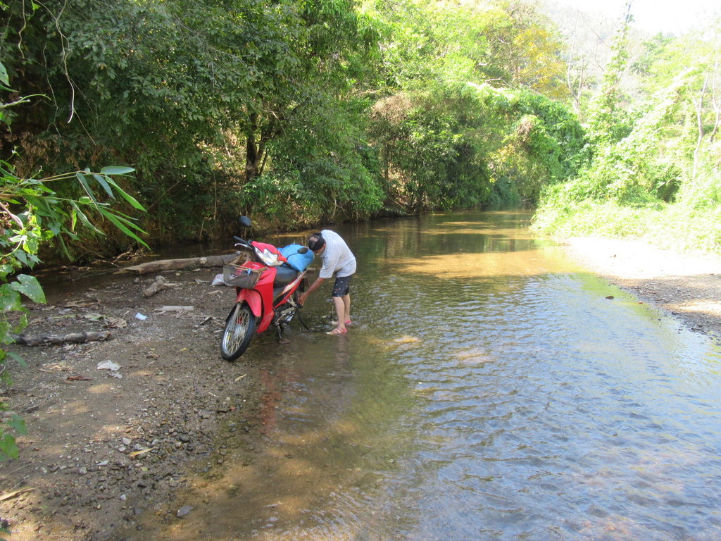
More water to ride through
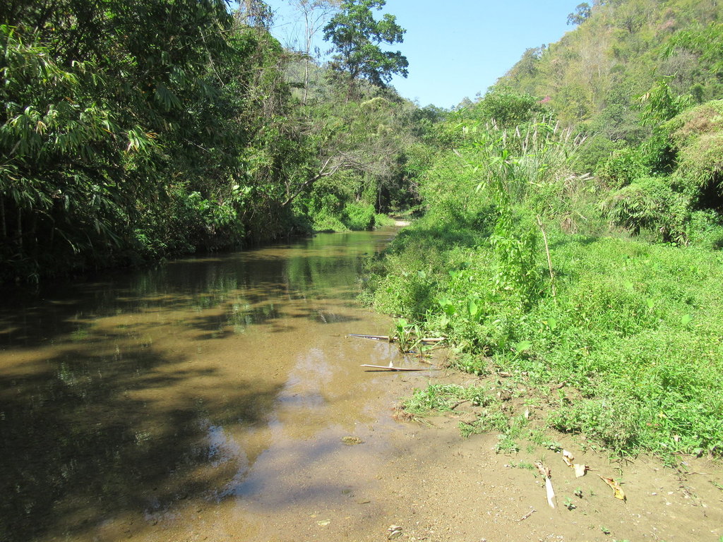
I didnt see any point in continuing as there didnt appear to be a track except the riverbed
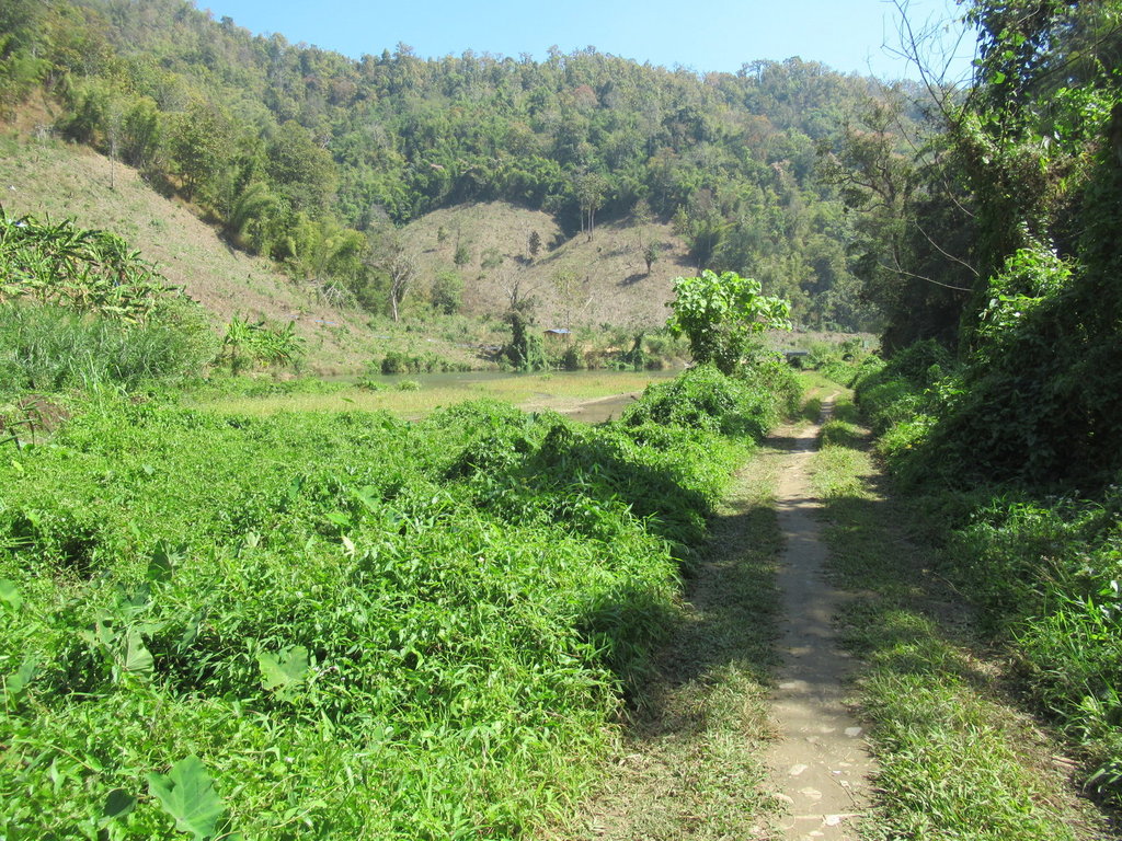
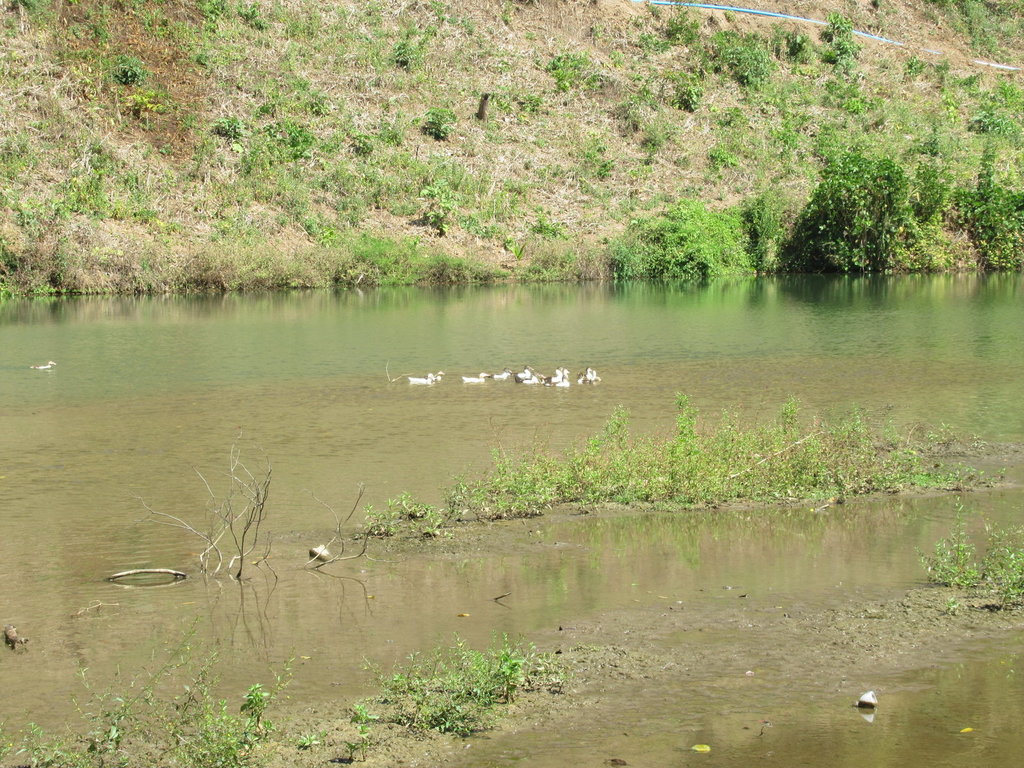
At least the ducks are happy
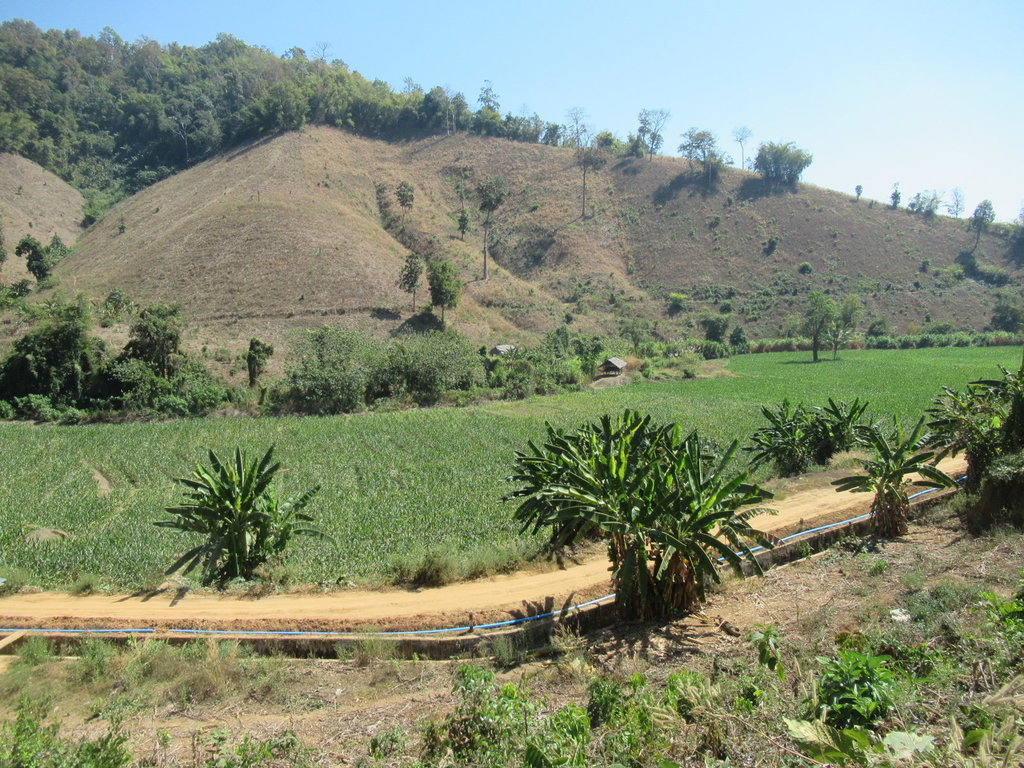
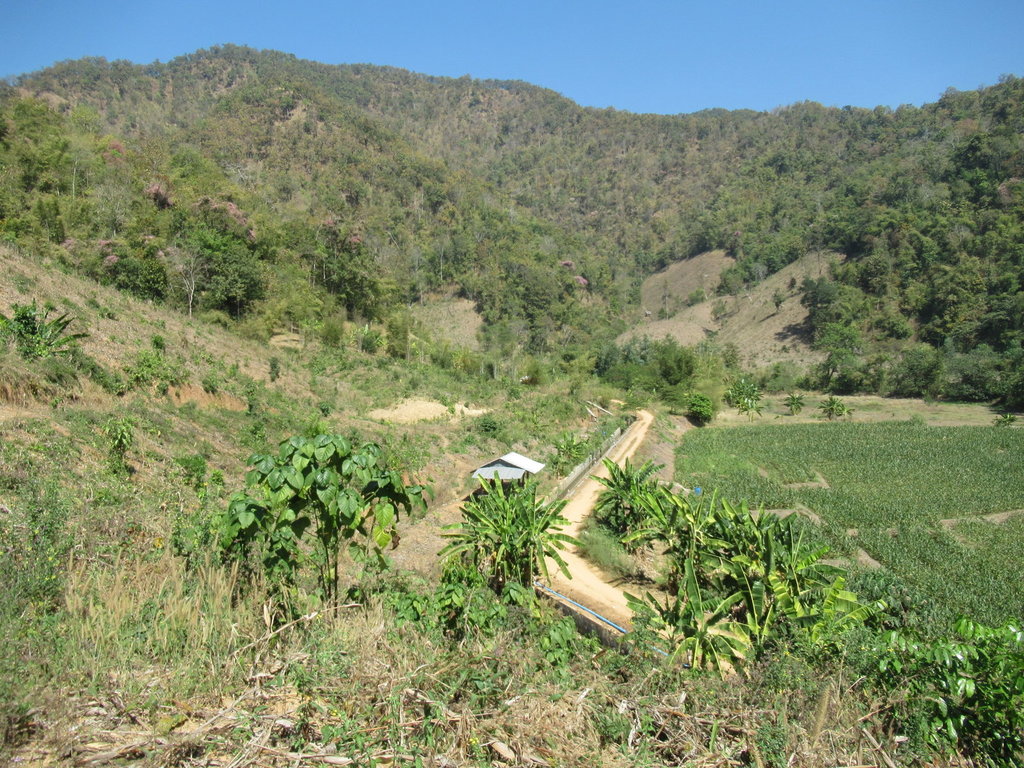
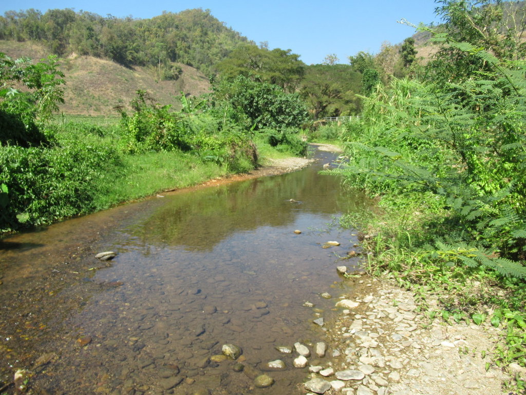
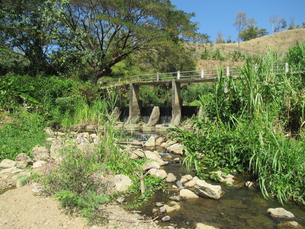
I am wondering how much water is being held back by the weir
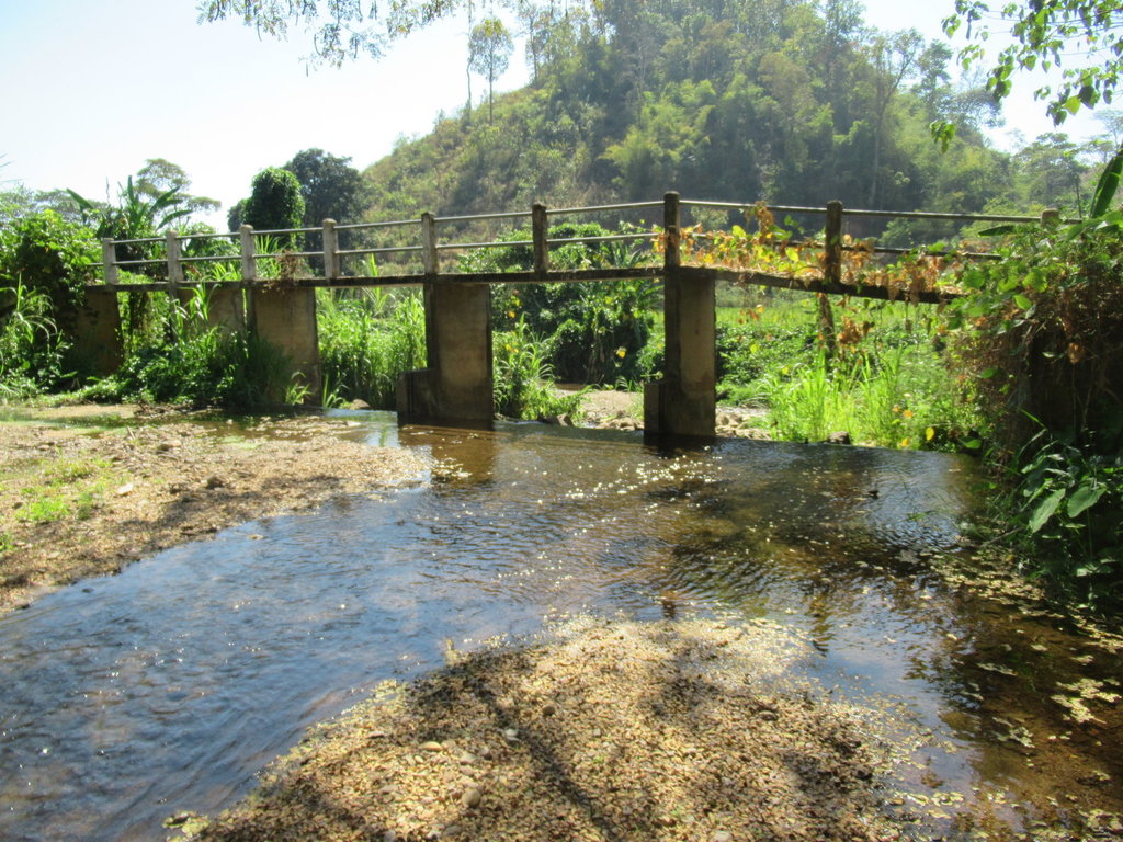
I ride to the top and theres nothing in reserve
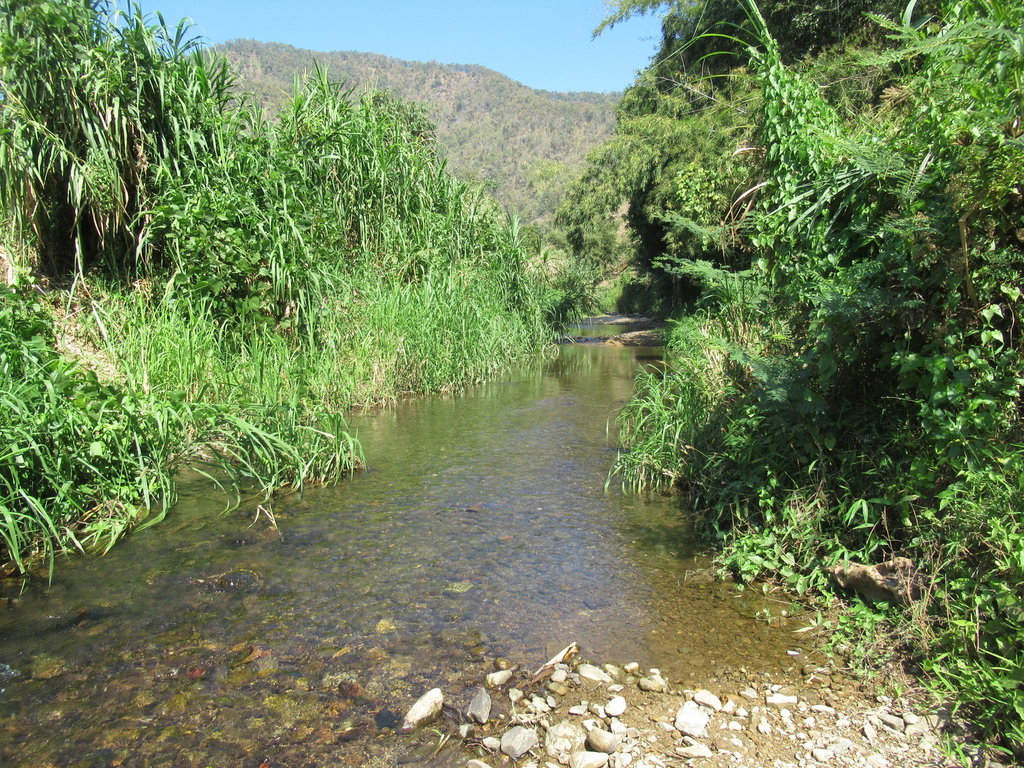
A bit more exploring through the water then I ride back
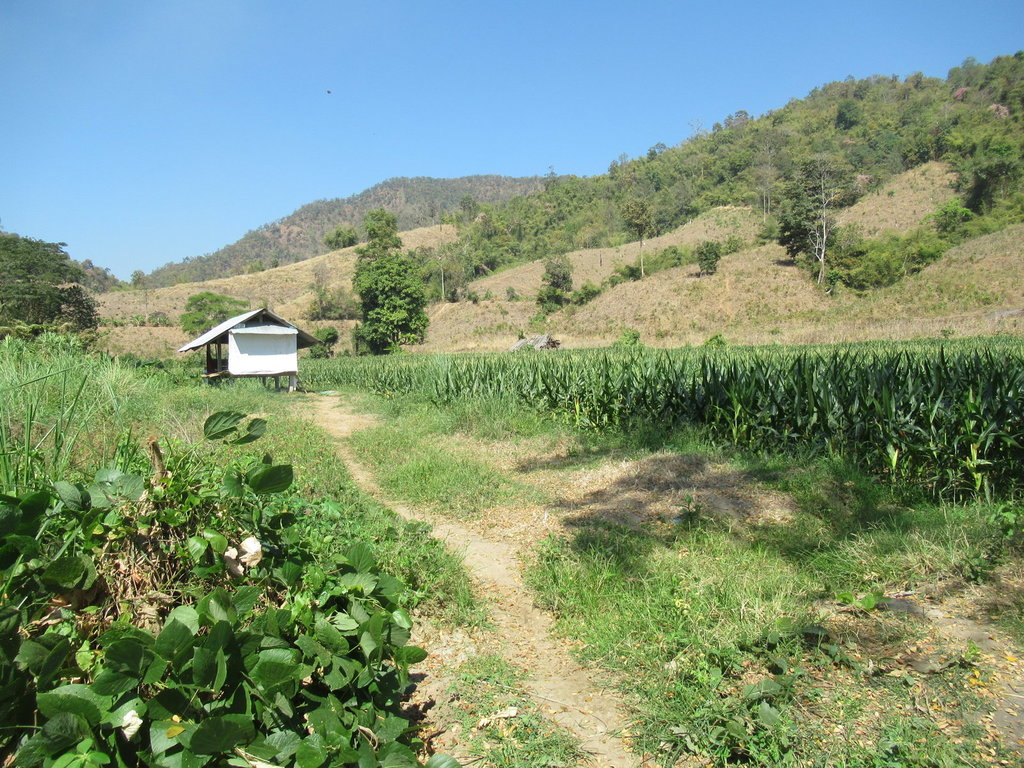
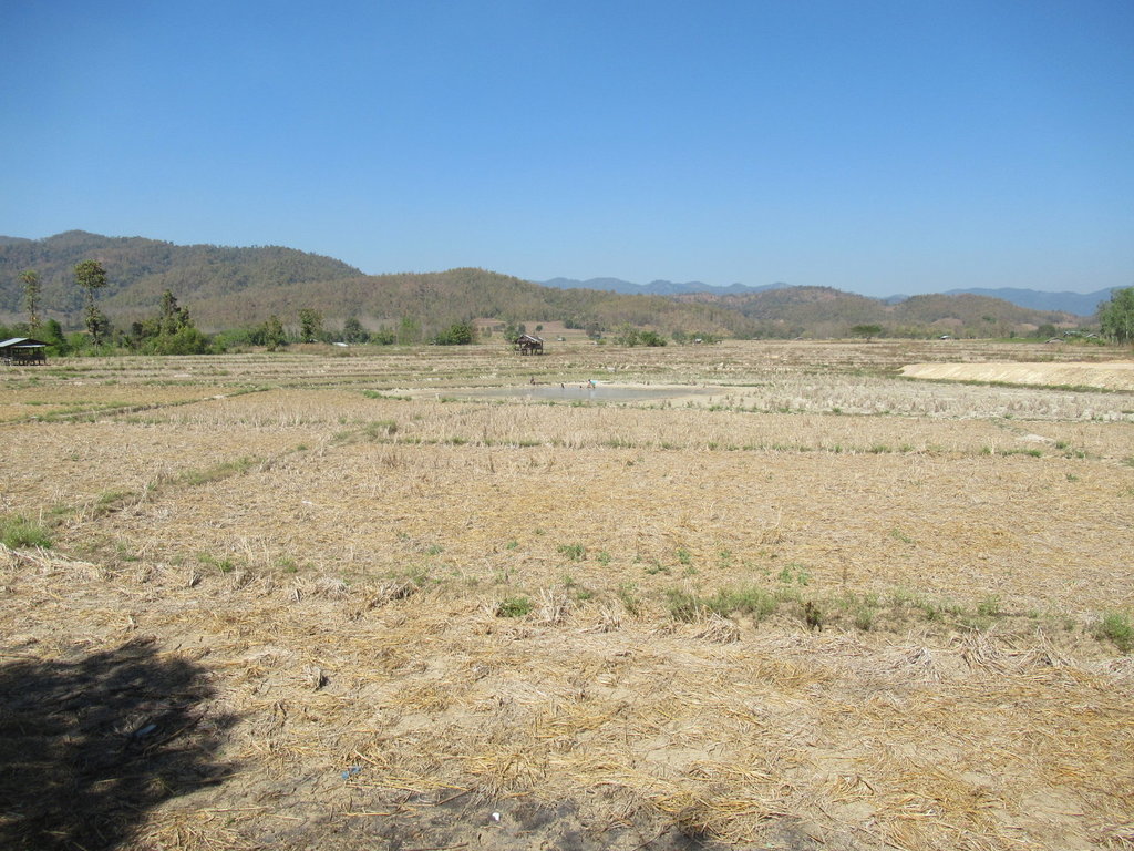
Its a lot drier out here
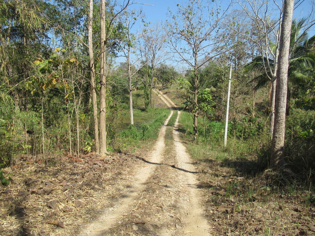
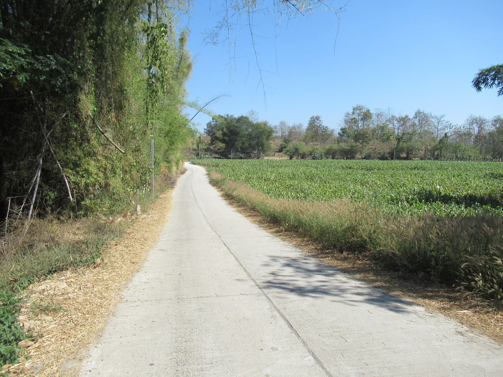
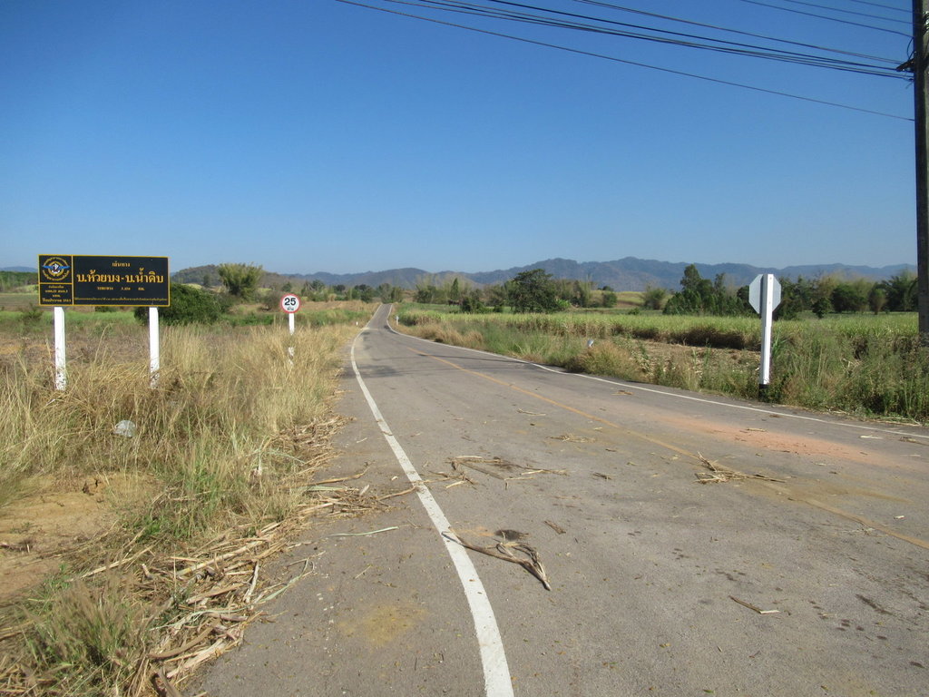
I think this asphalt is new since my last trip here, it still shows on the GPS map as unpaved
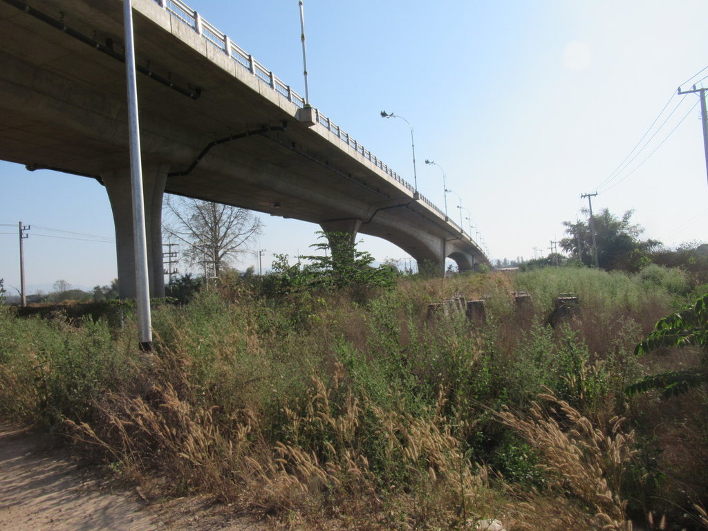
I take the new 130 to the second friendship bridge
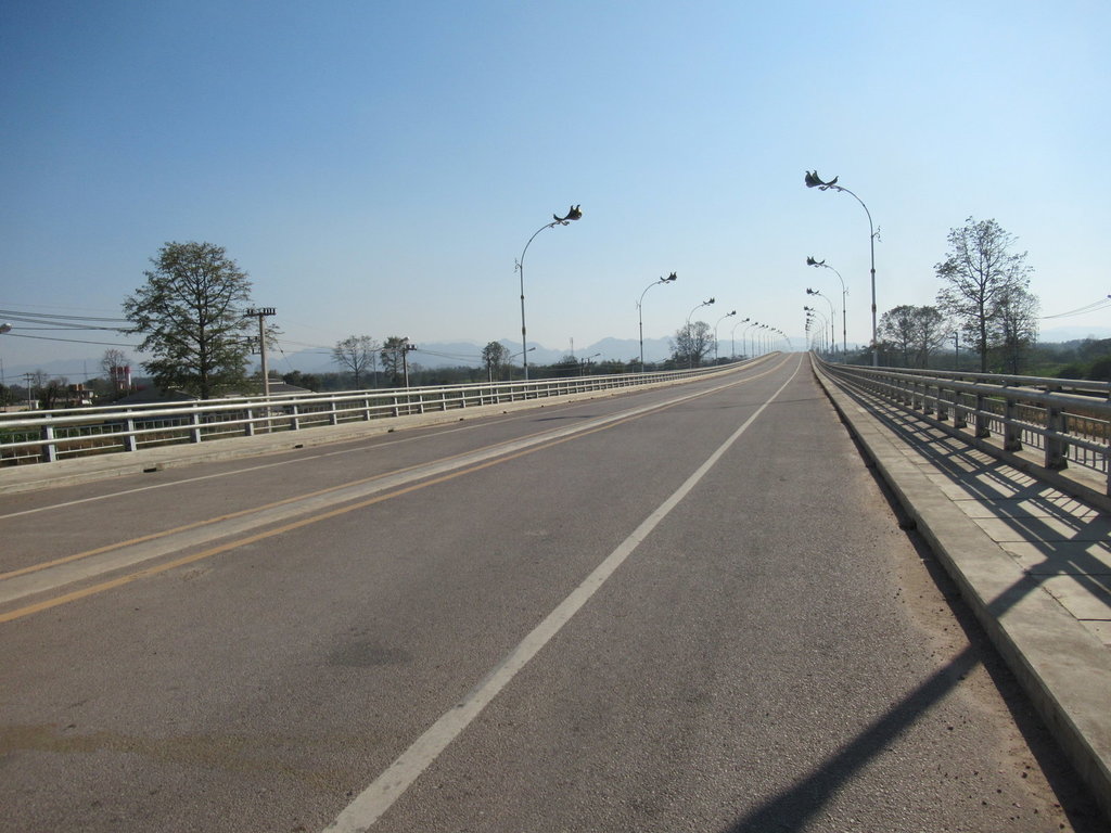
I am actually on the bridge here but its blocked off and I dont think the armed soldiers will be too happy if I go any further into no mans land
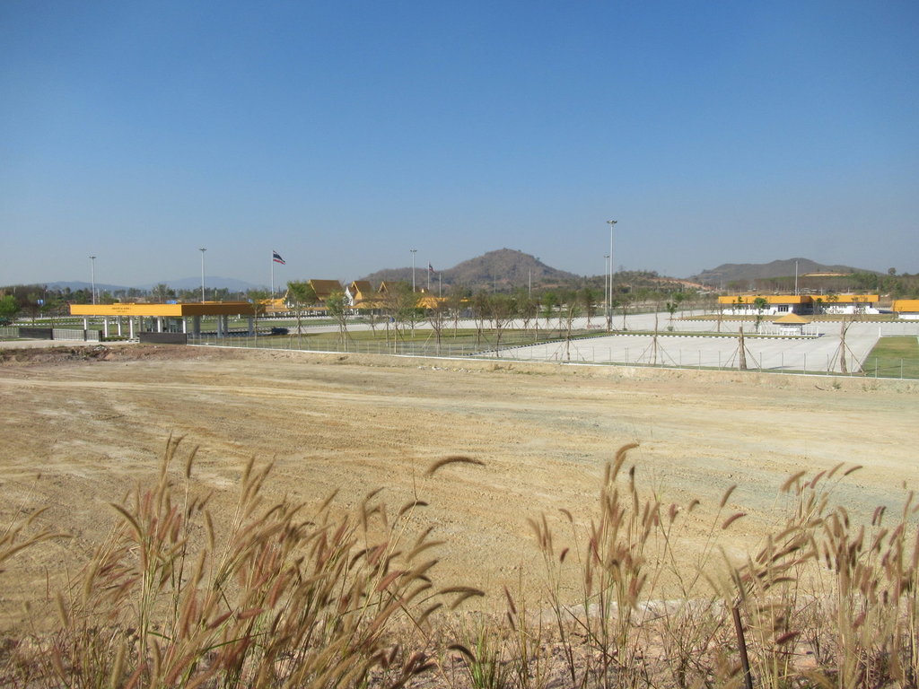
The infra structure is built but it doesnt look like it will be open in the near future, there is no one here
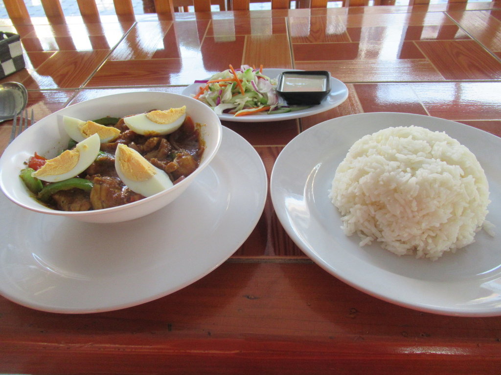
Chicken jalfreizi and rice at Mughal, 139 Baht

North of Mae Ramat and the 105 quietens down


I left a waypoint here on the ride down from Mae Sariang so I could knew where to find it on Google Earth, according to GE I am wasting my time hoping to link up but I need to try it


My first water crossing

Once through the water its a dry bumpy track


I am not alone at this point


I walked this first and decided not to try it today as the water was a bit too deep, with a riding buddy to help if needed I would have gone for it but didnt want to risk drowning the bike alone


This was the track that carried on but I expect with countless more water crossings

Time to ride back, I was going to ride to where the track ended north east of here but other tracks were located riding back along the 105 and I thought it was a better idea to go there first thing in the morning rather than at nearly midday


A few tracks that are not on the map were explored today

Plenty of goats to keep me company

The rack is a useful washing line, I was hoping the boots would dry out riding in the hot weather but they were still soaked when I got home


Thats the end of this track


I wasnt expecting any of these to go and link up and they didnt

The goatman appears


Another track and more water


I am in a shelter enjoying my lunch, the temperature is warmer here than I am used to


Lots of traffic pass while I am eating


A reservoir up here that is only three years old


More water to ride through

I didnt see any point in continuing as there didnt appear to be a track except the riverbed


At least the ducks are happy


I am wondering how much water is being held back by the weir

I ride to the top and theres nothing in reserve

A bit more exploring through the water then I ride back


Its a lot drier out here


I think this asphalt is new since my last trip here, it still shows on the GPS map as unpaved

I take the new 130 to the second friendship bridge

I am actually on the bridge here but its blocked off and I dont think the armed soldiers will be too happy if I go any further into no mans land

The infra structure is built but it doesnt look like it will be open in the near future, there is no one here

Chicken jalfreizi and rice at Mughal, 139 Baht

