Captain_Slash
Community Manager
- Joined
- Jun 28, 2011
- Bikes
- BMW 310GS Honda Wave 125 Honda MSX 125
Distance 151 km
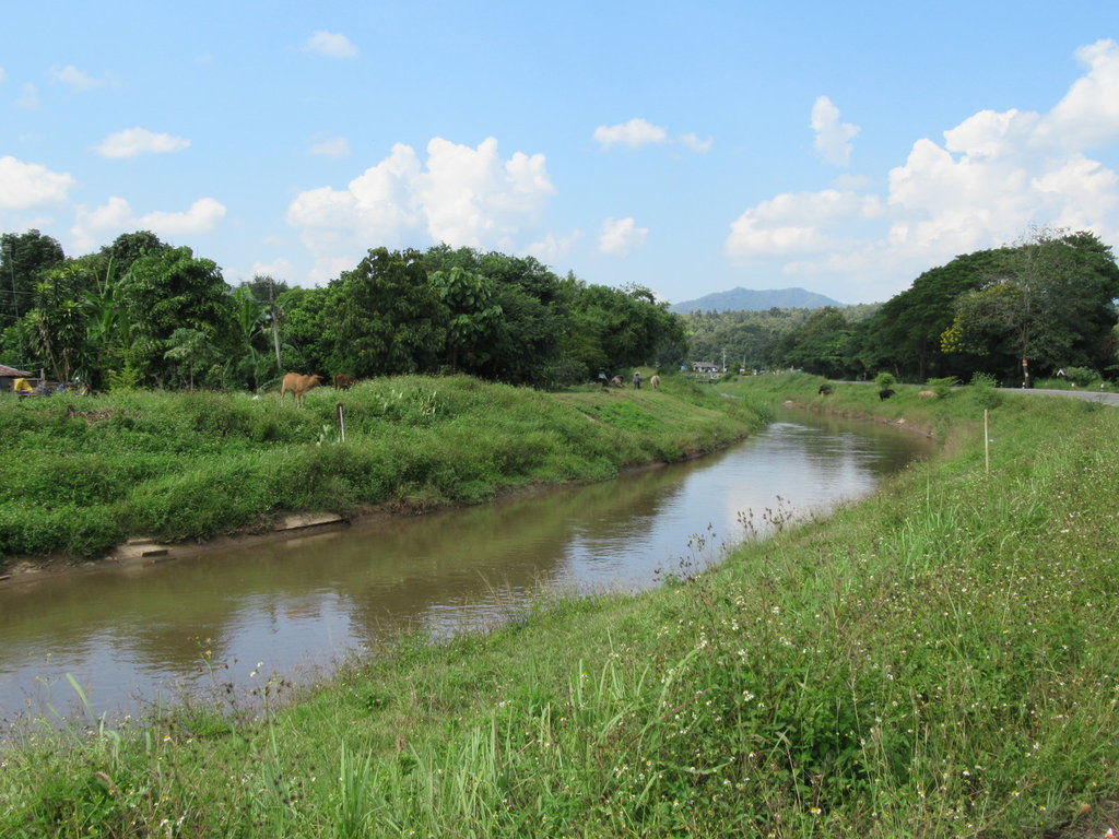
Riding alongside the irrigation canal near its start at the Mae Taeng river
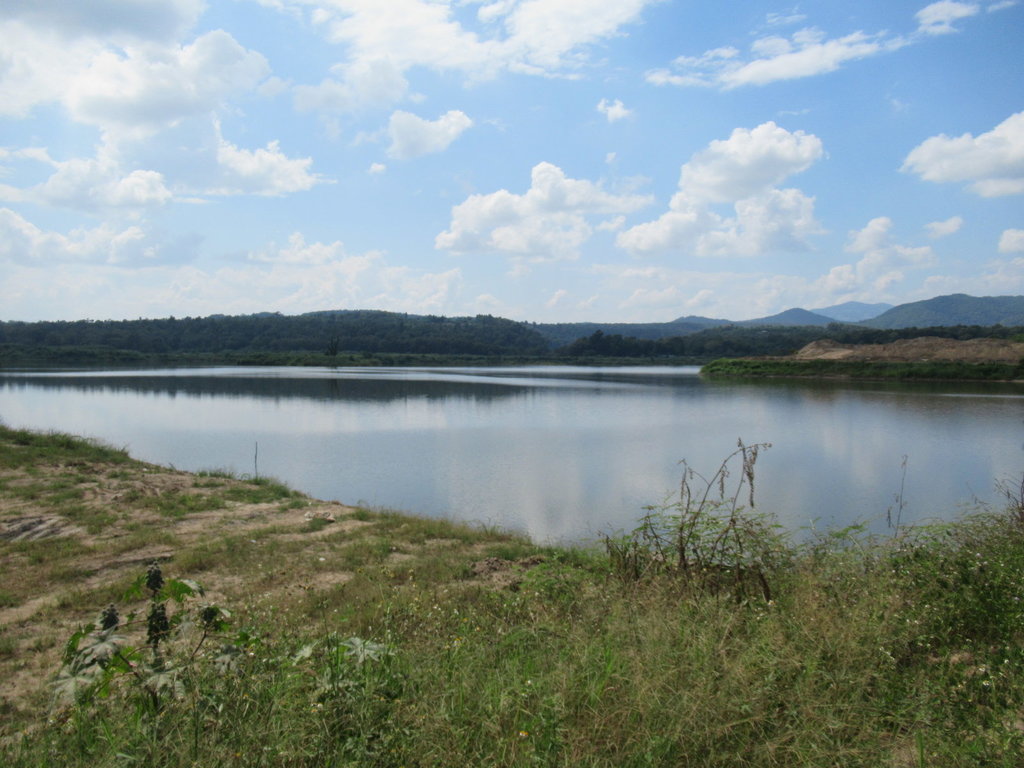
An unknown reservoir just before reaching the 3052
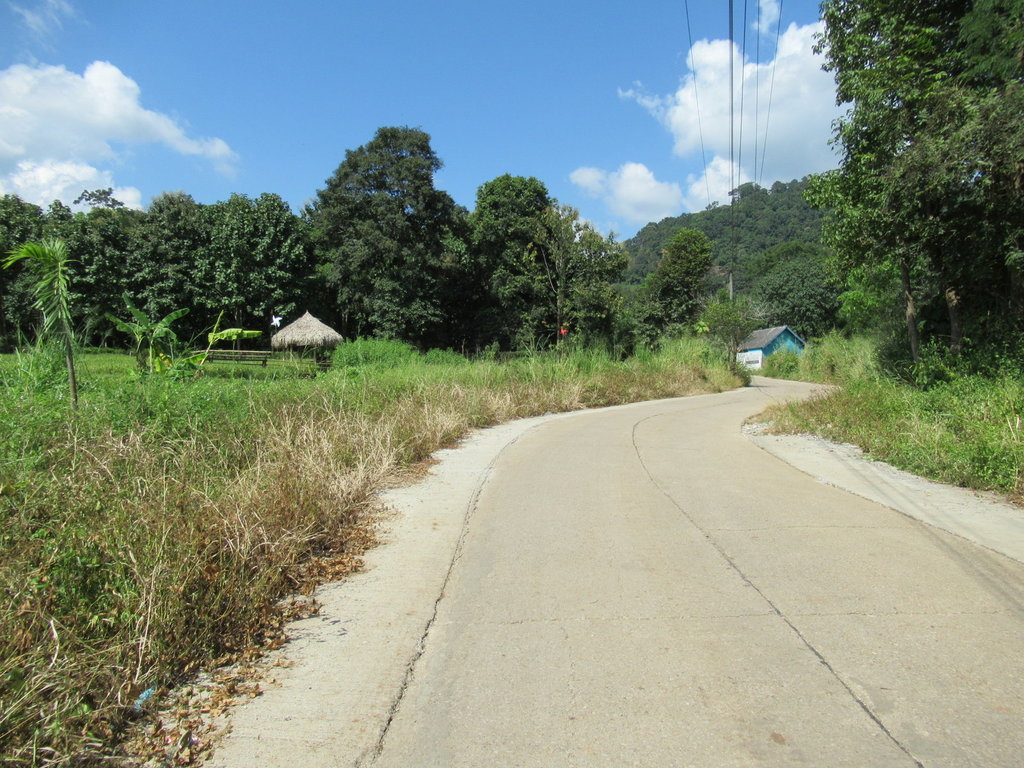
Now heading north of Mae Tamann Elephant Camp
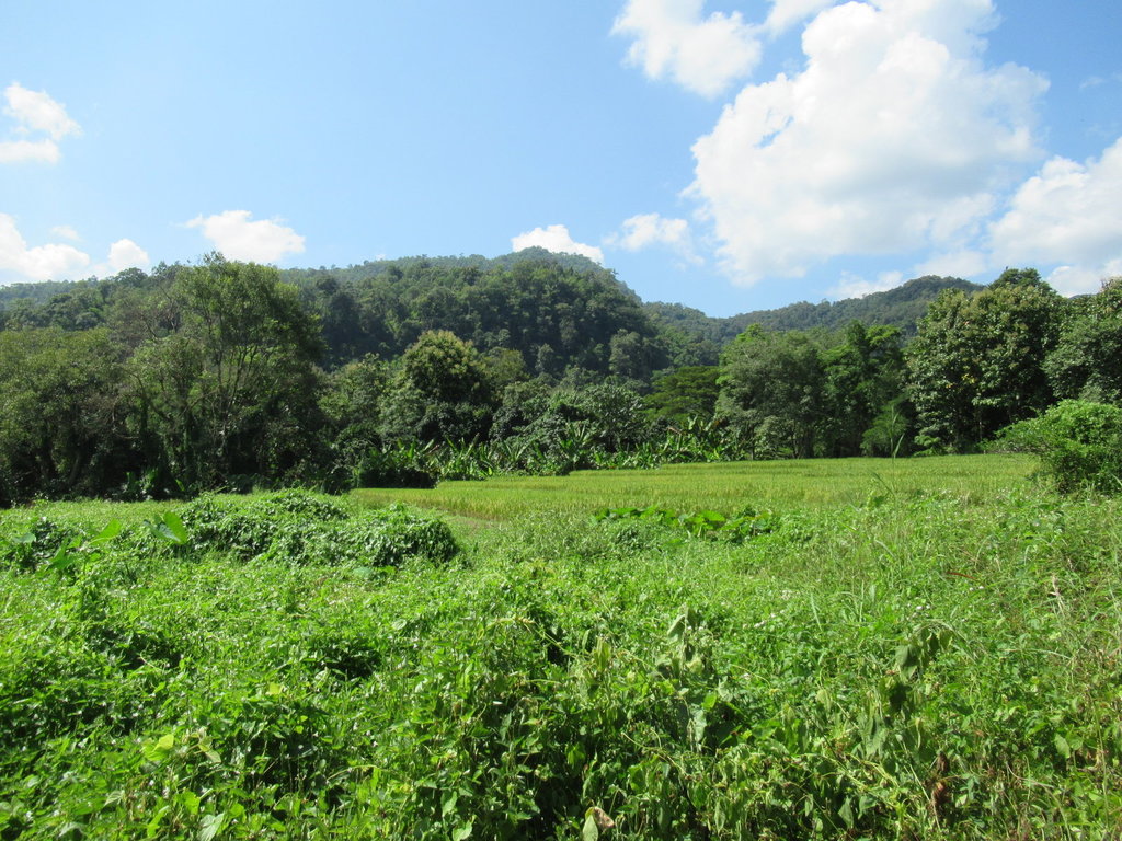
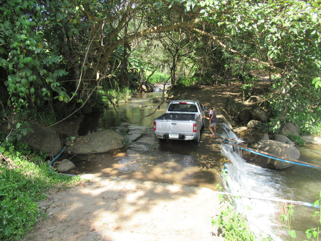
This was on a track to my right, it can be explored some other time
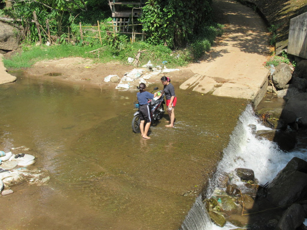
A bit further on in a village
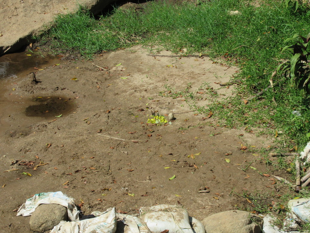
A butterfly collection settled there
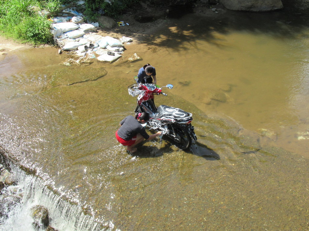
Lucky bike, how I wish it was me getting a soapy from those two
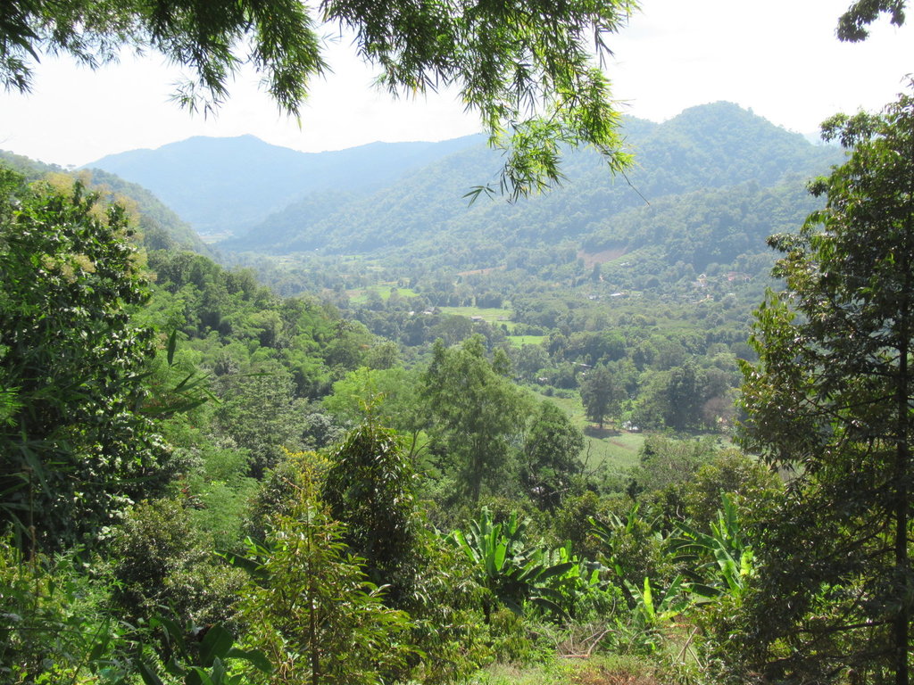
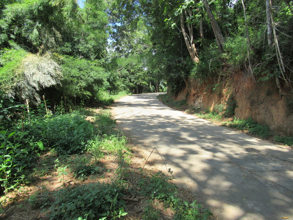
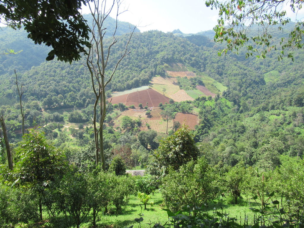
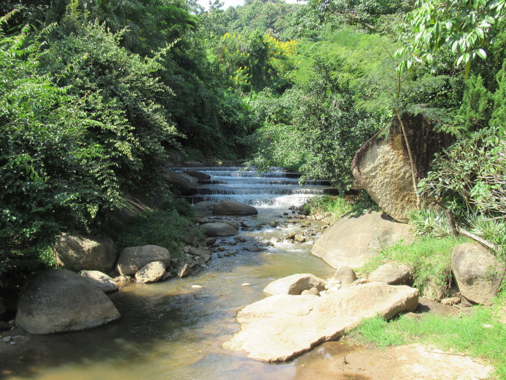
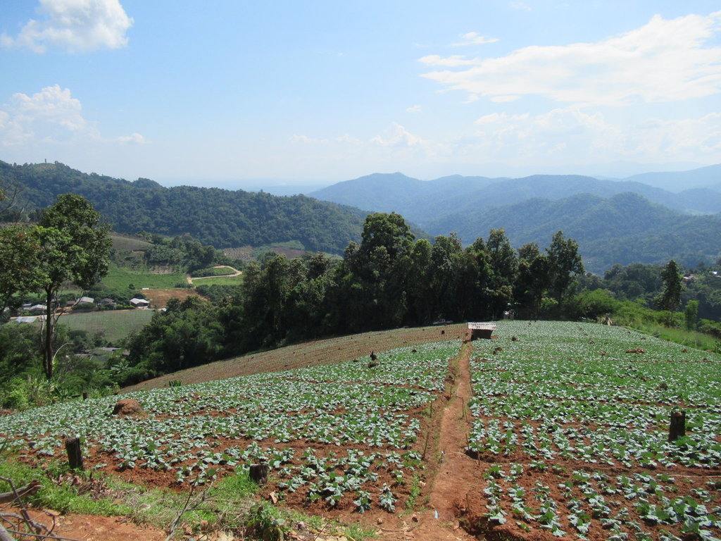
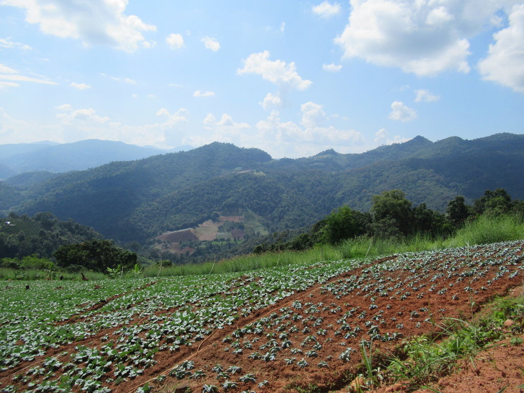
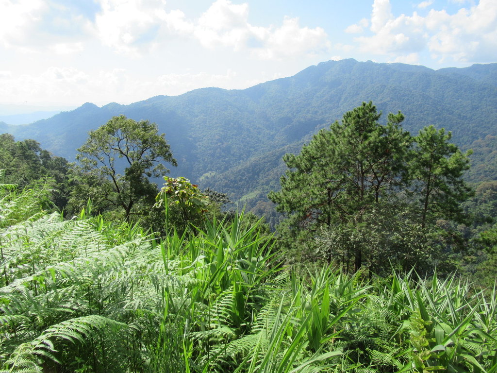
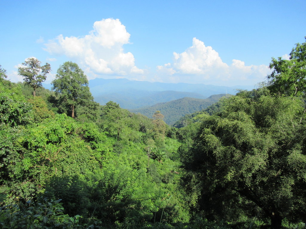
Steep hills and lovely scenery, I have never ventured along this road before
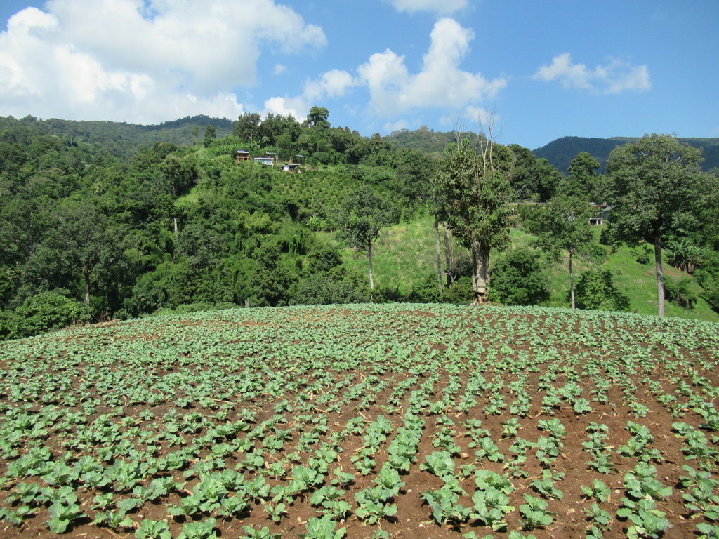
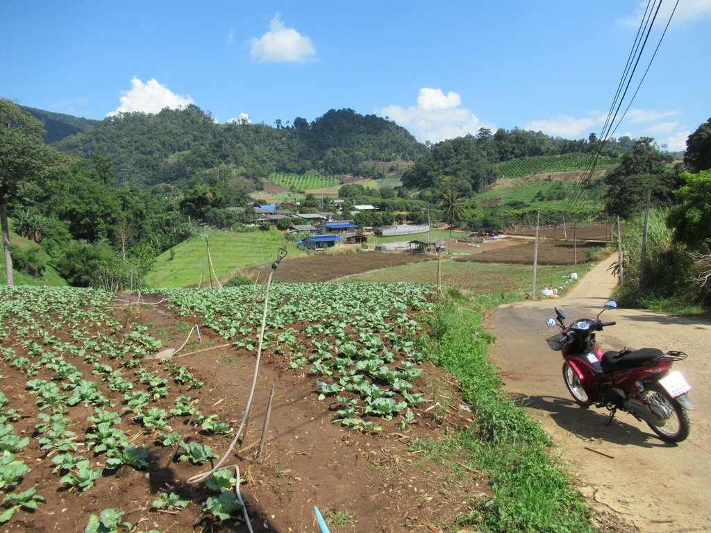
I stop in the village ahead then the road becomes unpaved
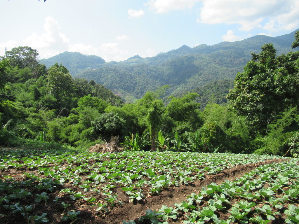
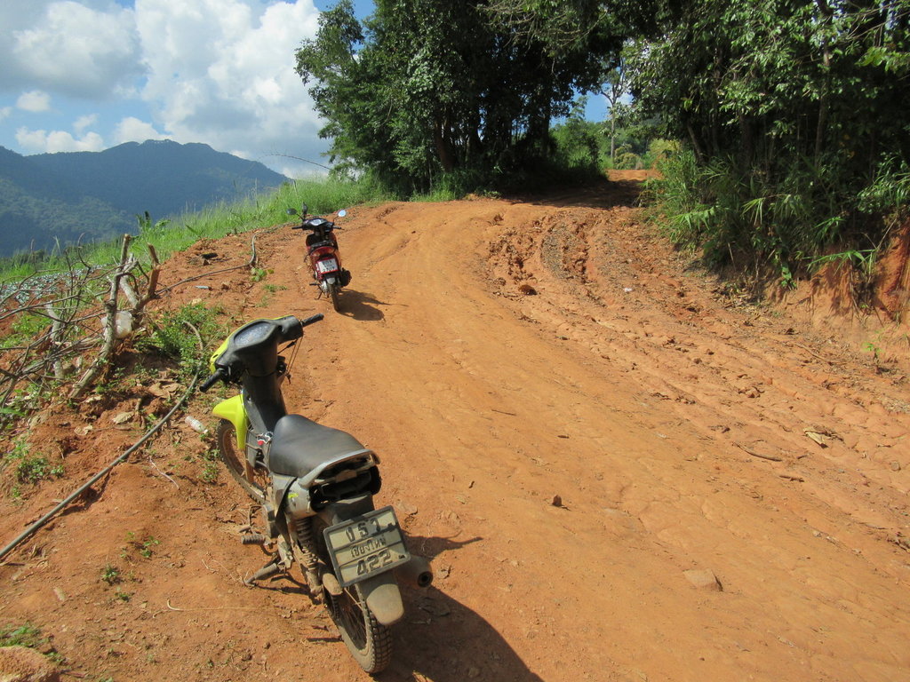
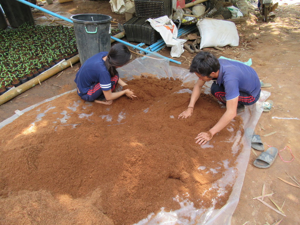
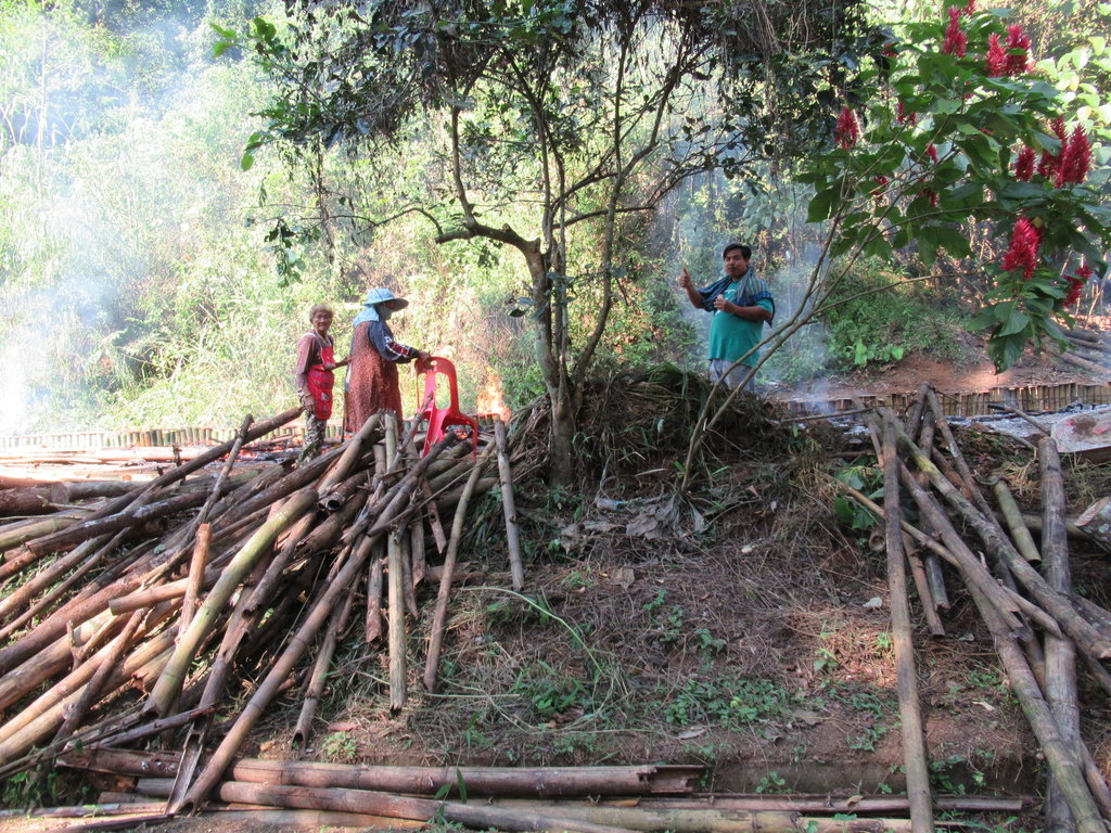
Along the track these two are busy
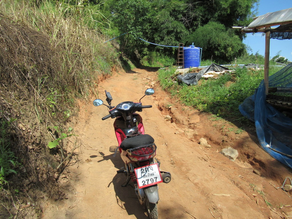
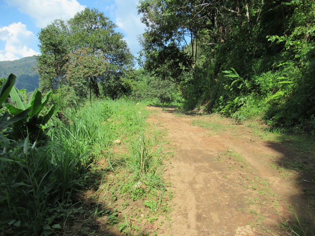
It was hard going and I was thinking about turning back but luckily kept going as sometimes the track was easier and smoother
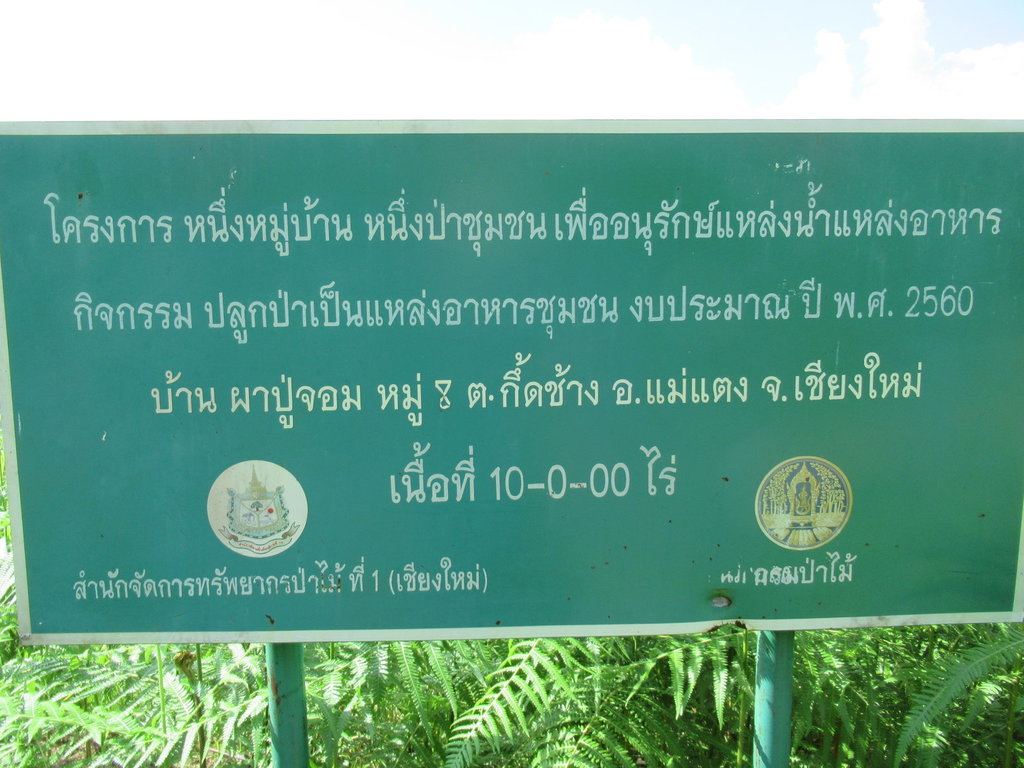
A long way up and this sign was here
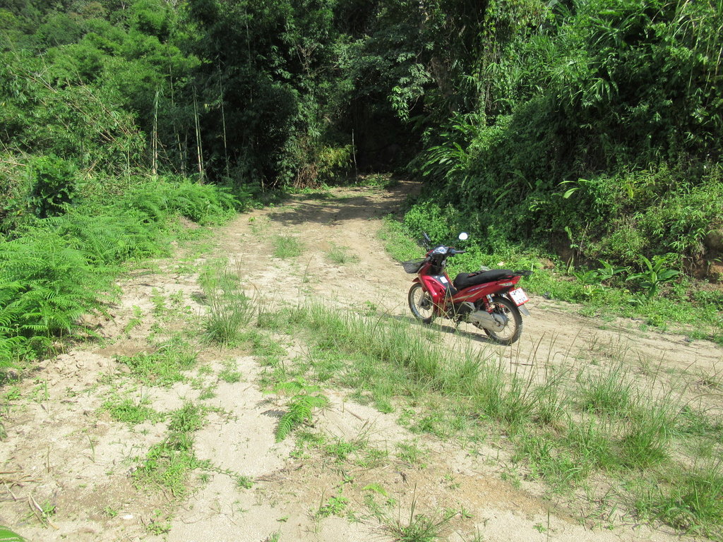
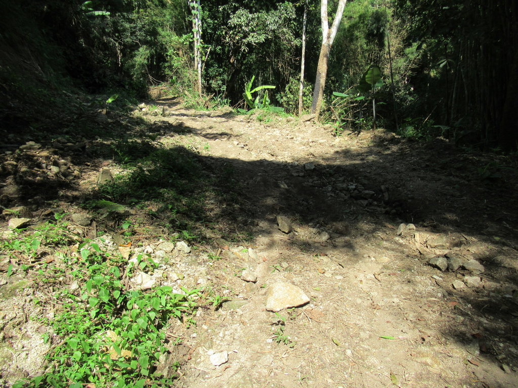
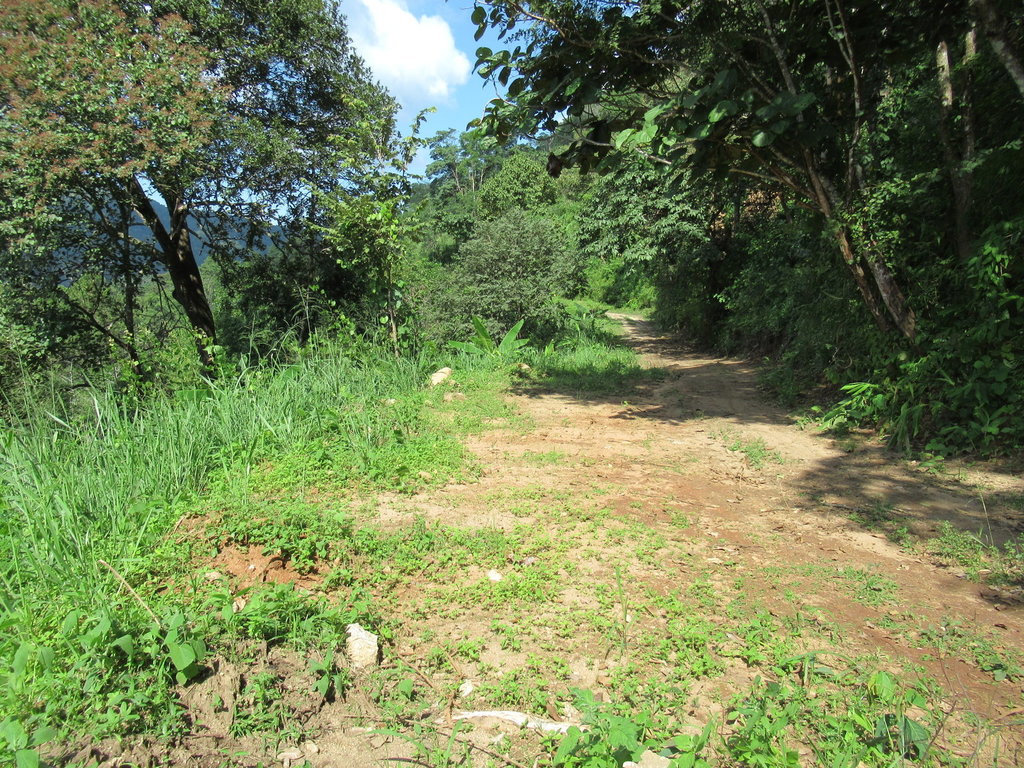
Back to the rutted unpleasant track again for a while.
I didnt know what to expect today as Auke's map showed todays ride as a paved track and the OSM didnt.
Whoever gave Auke this track didnt provide the condition and surface of it
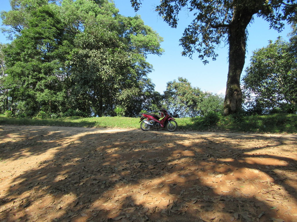
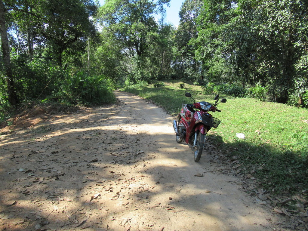
Finally I reach a junction and here the track vastly improves despite the OSM tagging it as a path in the woods
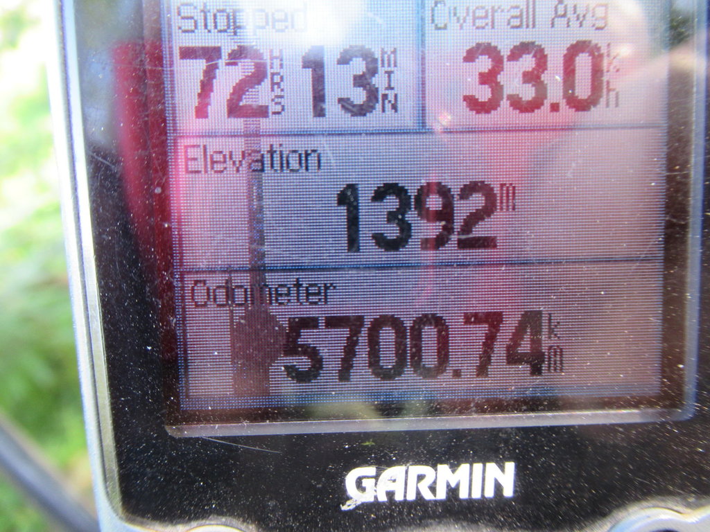
At the highest point, no wonder I used 1st gear a lot offroad to reach here
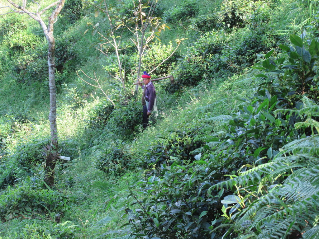
I am not alone up here
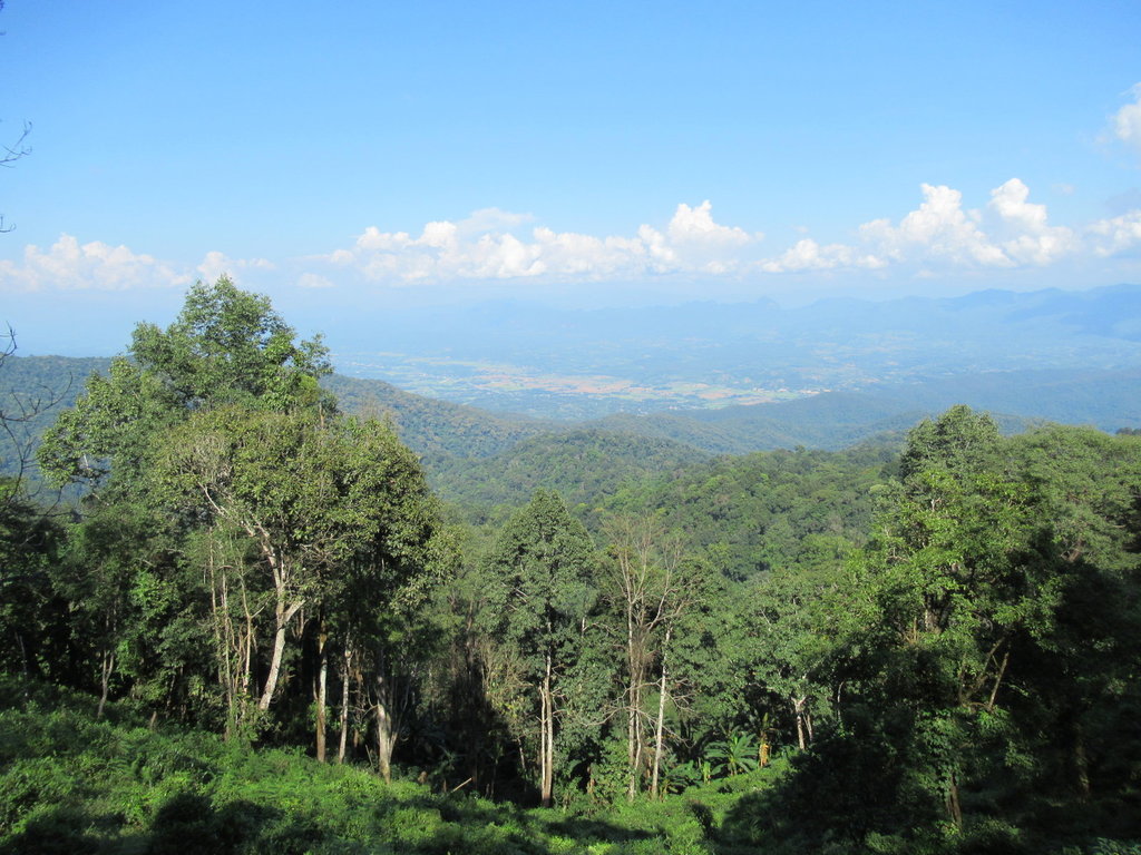
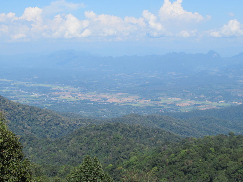
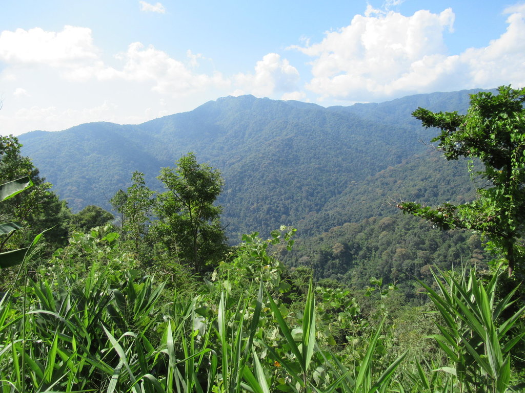
Good views from this height
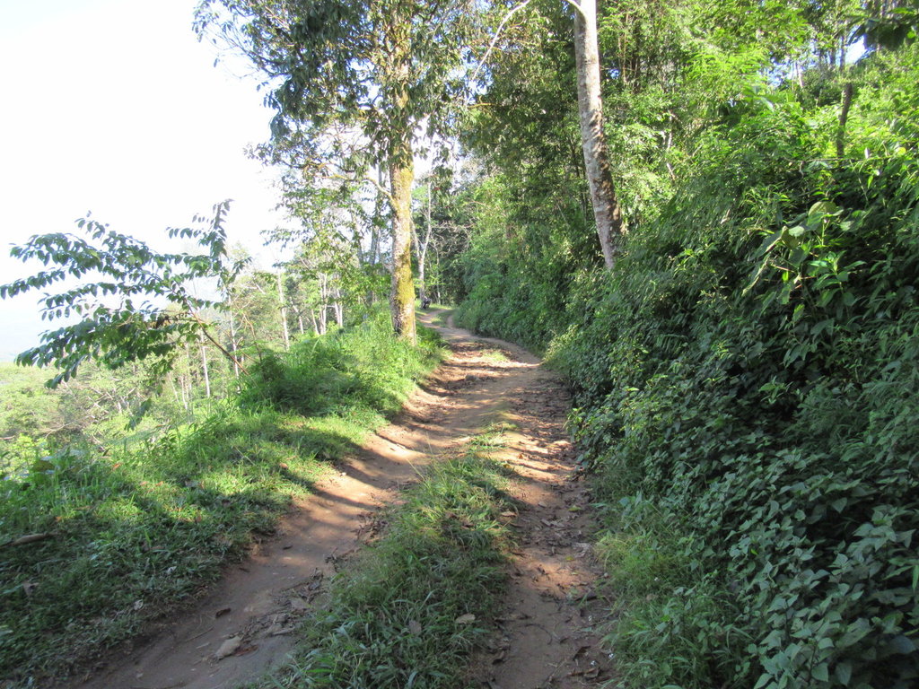
Now an easy ride which is going downhill
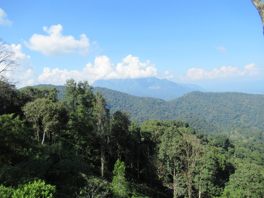
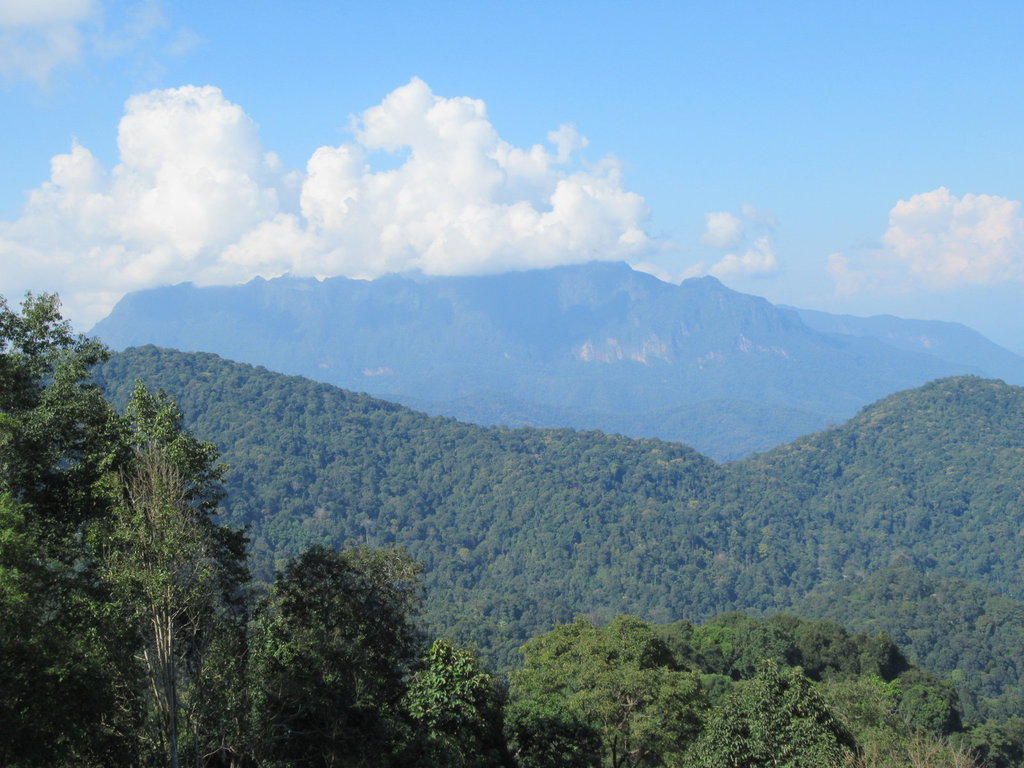
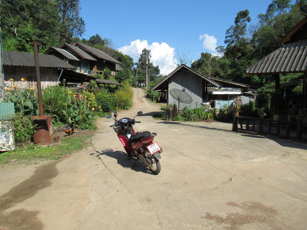
Not far from the top and the road becomes paved then I arrive in Ban Pang Lak
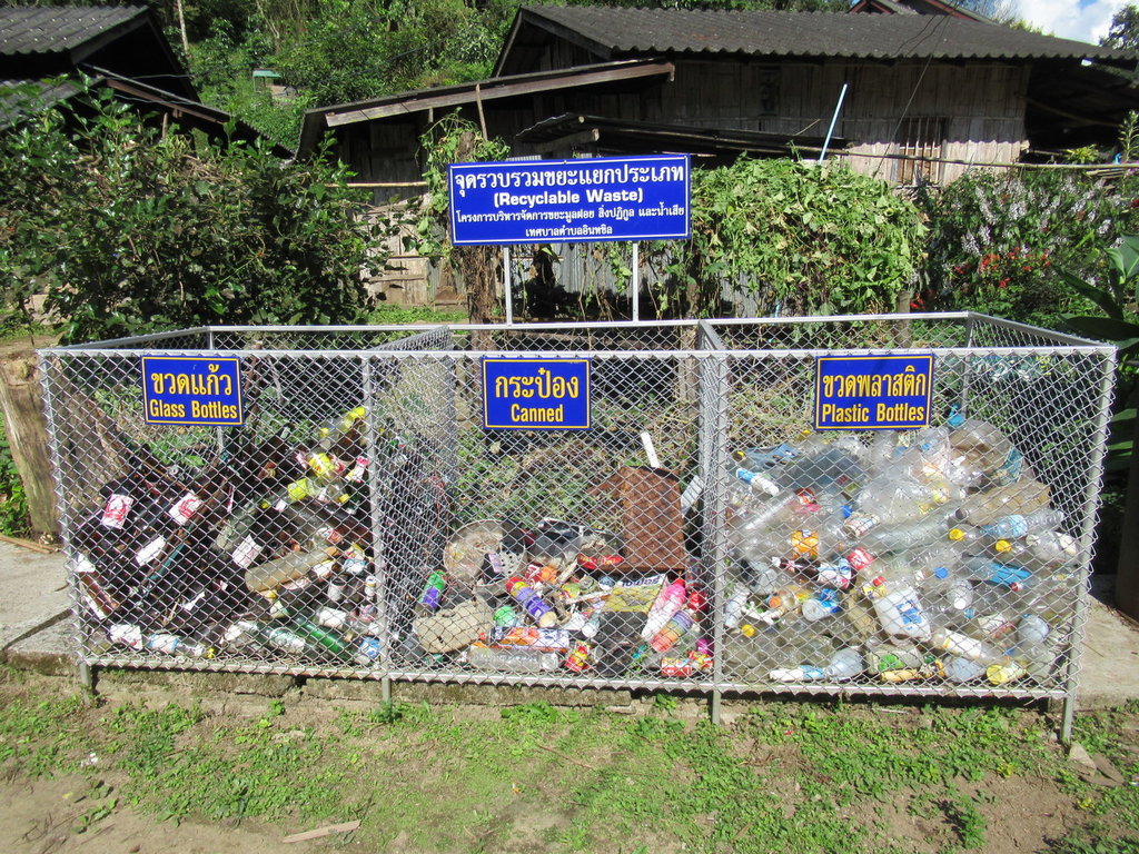
Nice to see
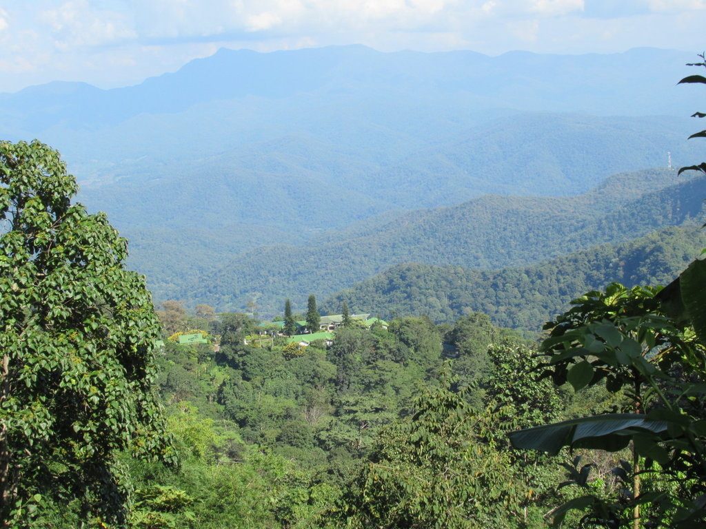
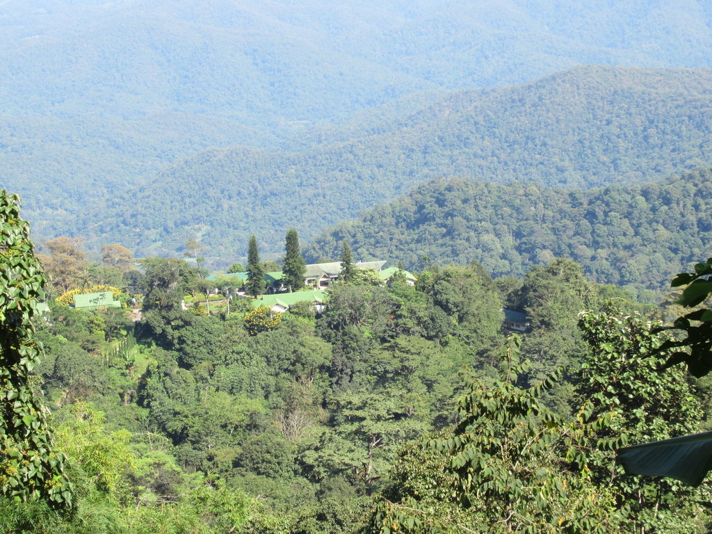
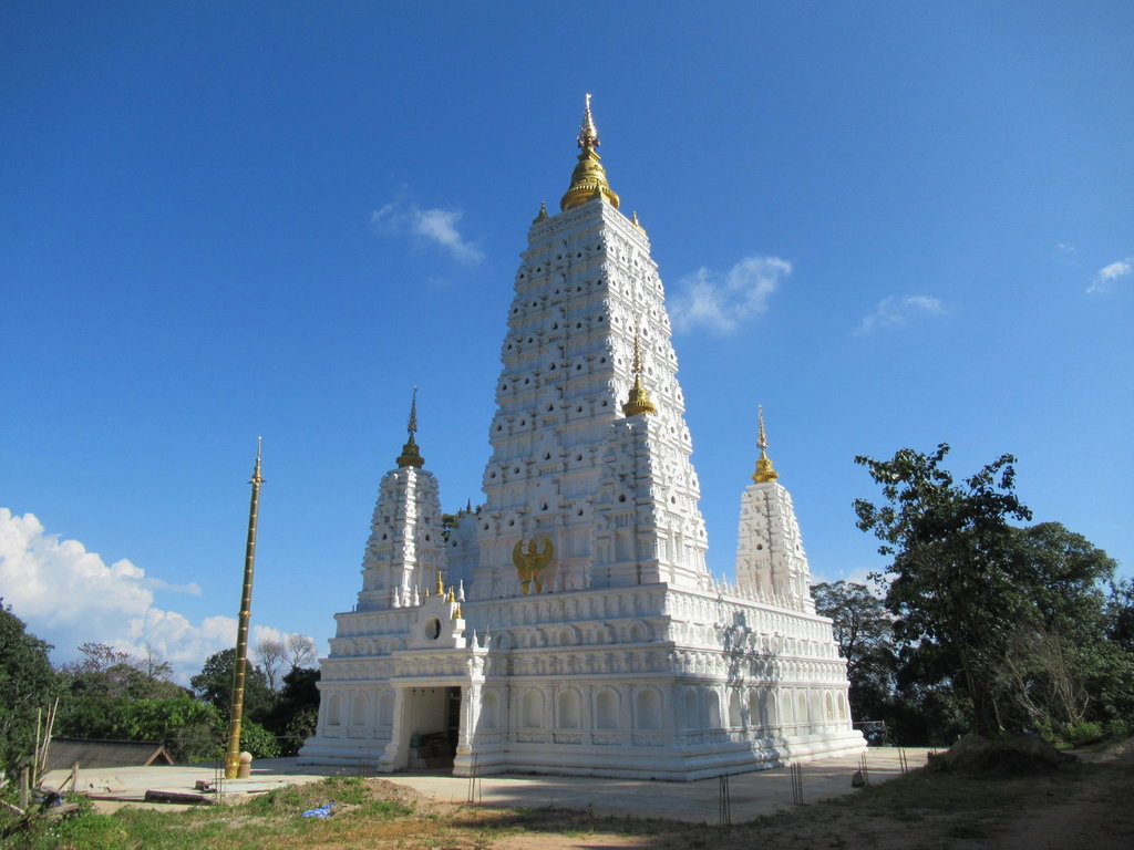
Wat Doi Udom Tham according to Google Maps, its not finished yet, at N19.25809 E098.91058
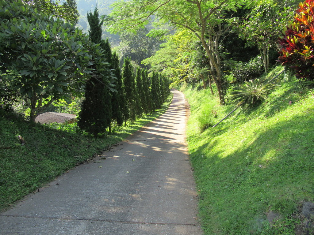
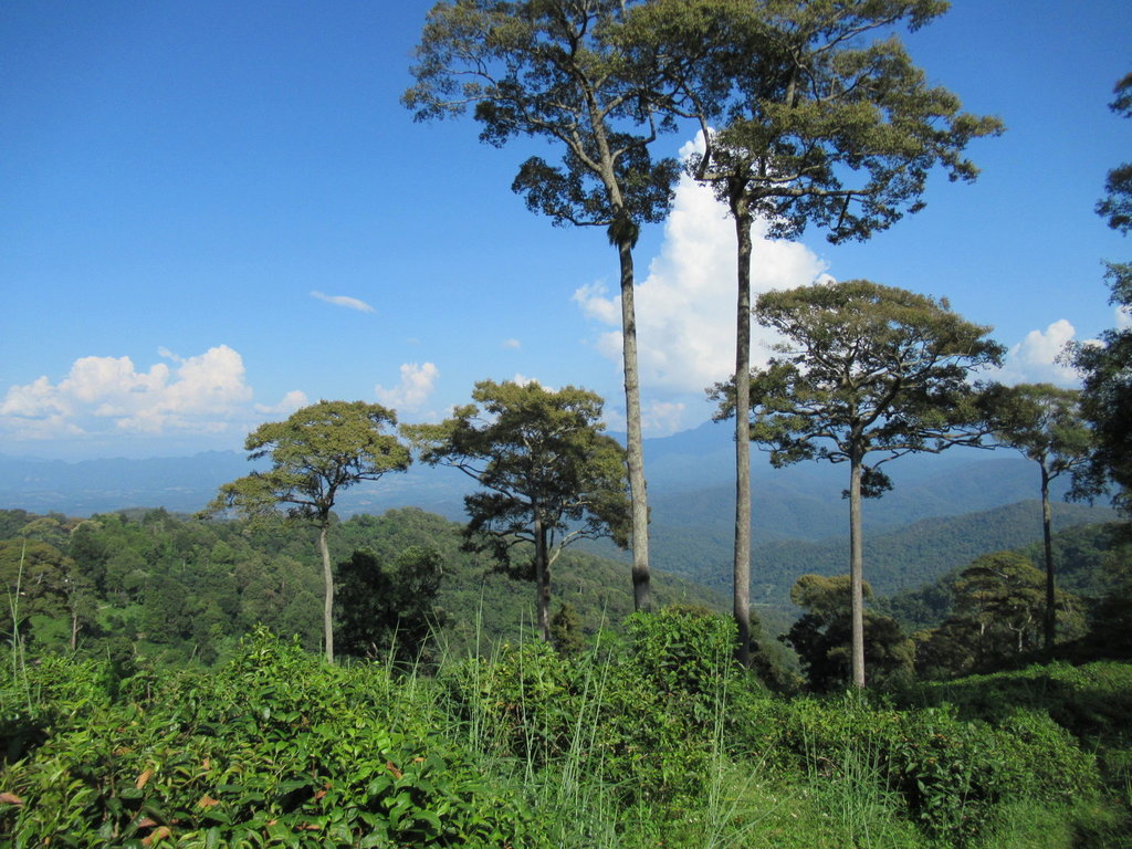
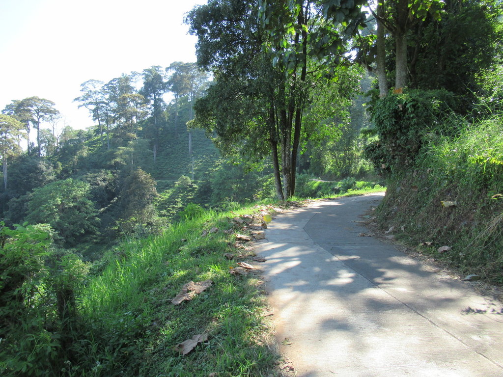
Lovely scenery everywhere now
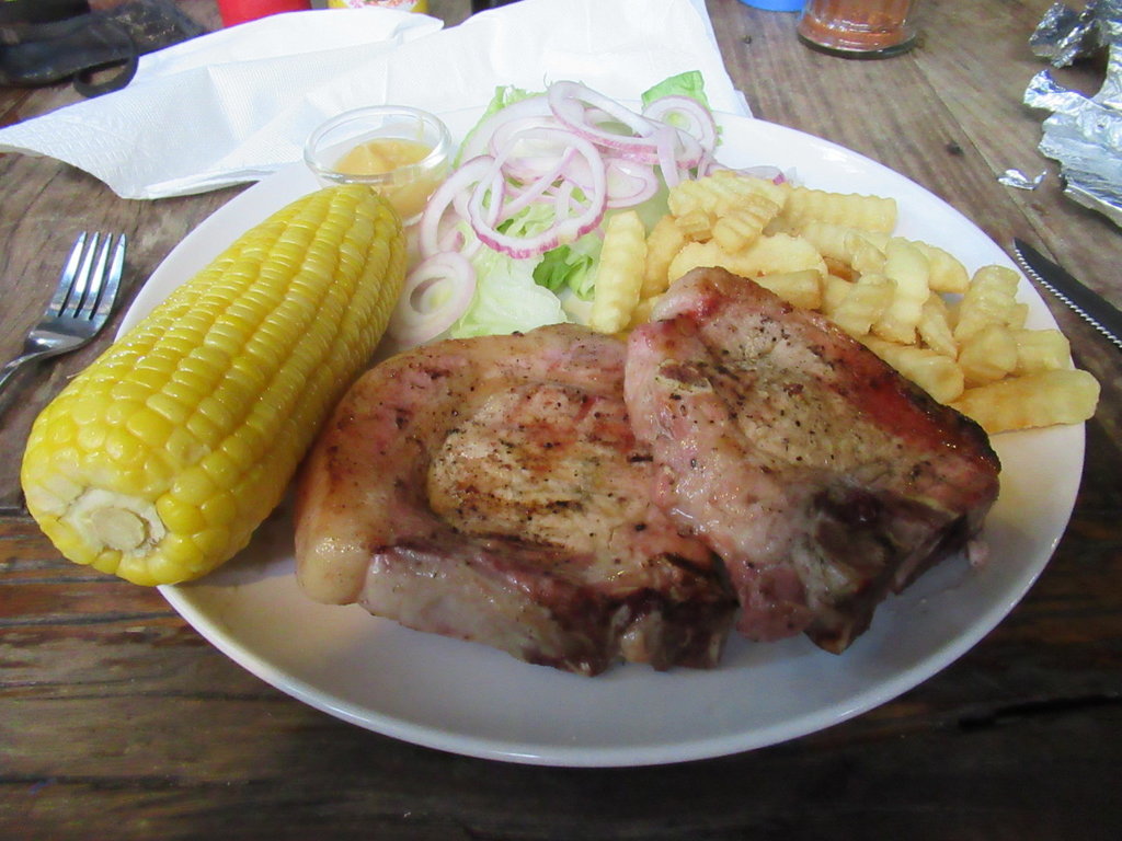
Pork chops, fries, salad and sweetcorn at Gecko Garden 199 Baht

Riding alongside the irrigation canal near its start at the Mae Taeng river

An unknown reservoir just before reaching the 3052

Now heading north of Mae Tamann Elephant Camp


This was on a track to my right, it can be explored some other time

A bit further on in a village

A butterfly collection settled there


Lucky bike, how I wish it was me getting a soapy from those two


Steep hills and lovely scenery, I have never ventured along this road before


I stop in the village ahead then the road becomes unpaved


Along the track these two are busy


It was hard going and I was thinking about turning back but luckily kept going as sometimes the track was easier and smoother


A long way up and this sign was here


Back to the rutted unpleasant track again for a while.
I didnt know what to expect today as Auke's map showed todays ride as a paved track and the OSM didnt.
Whoever gave Auke this track didnt provide the condition and surface of it

Finally I reach a junction and here the track vastly improves despite the OSM tagging it as a path in the woods


At the highest point, no wonder I used 1st gear a lot offroad to reach here

I am not alone up here


Good views from this height

Now an easy ride which is going downhill


Not far from the top and the road becomes paved then I arrive in Ban Pang Lak

Nice to see


Wat Doi Udom Tham according to Google Maps, its not finished yet, at N19.25809 E098.91058


Lovely scenery everywhere now


Pork chops, fries, salad and sweetcorn at Gecko Garden 199 Baht
Last edited:

