Captain_Slash
Community Manager
- Joined
- Jun 28, 2011
- Bikes
- BMW 310GS Honda Wave 125 Honda MSX 125
Distance 105 km
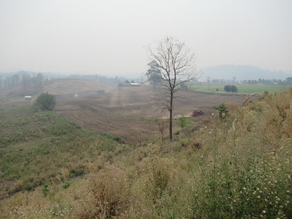
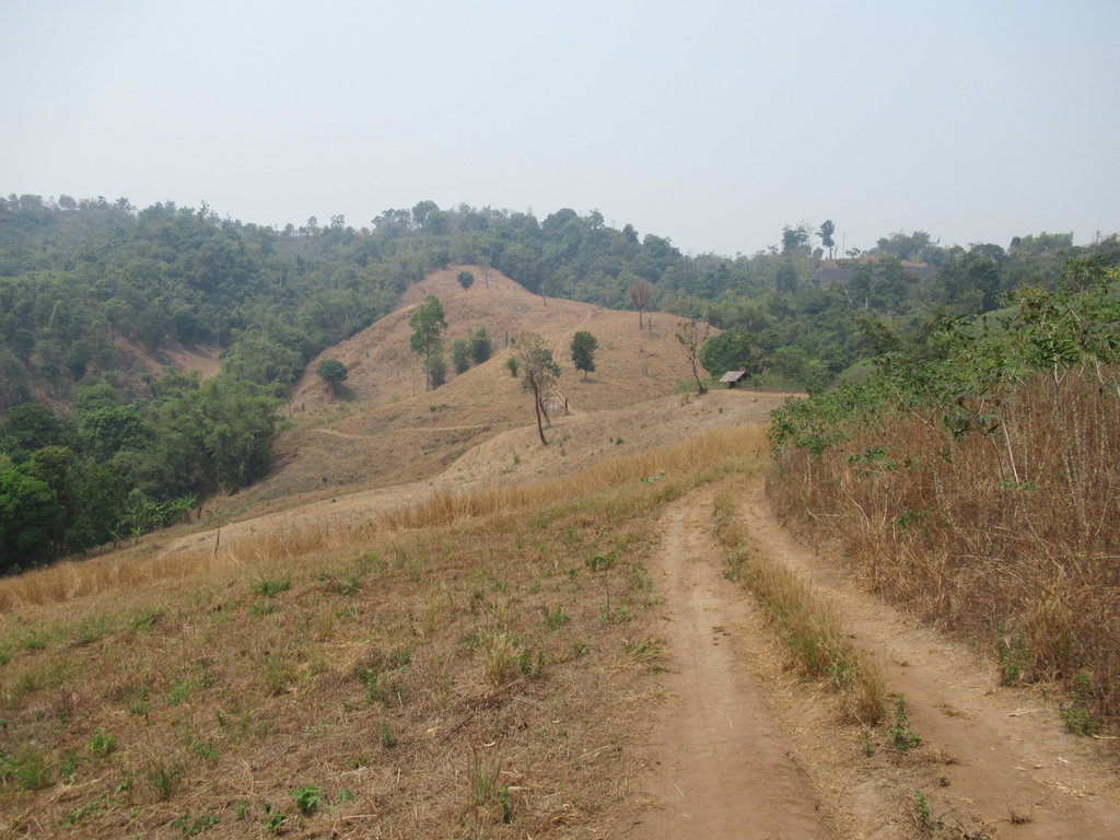
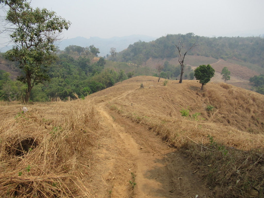
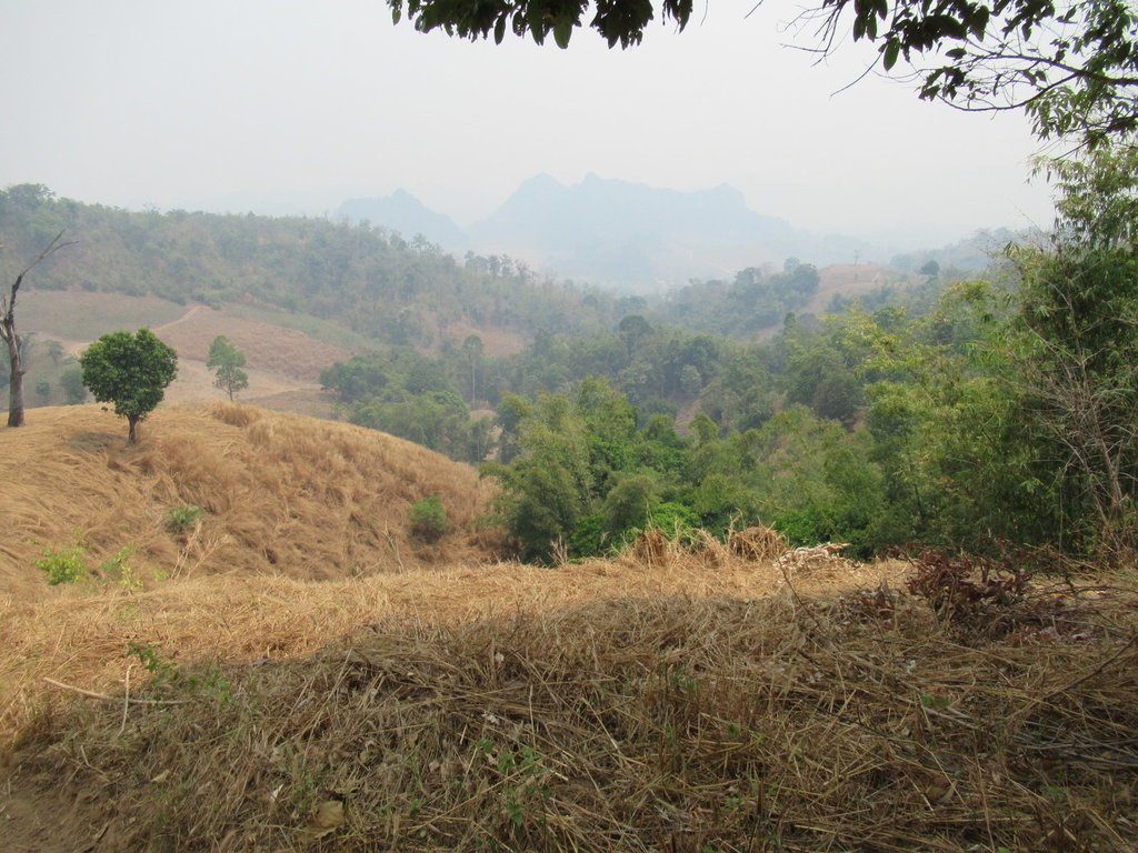
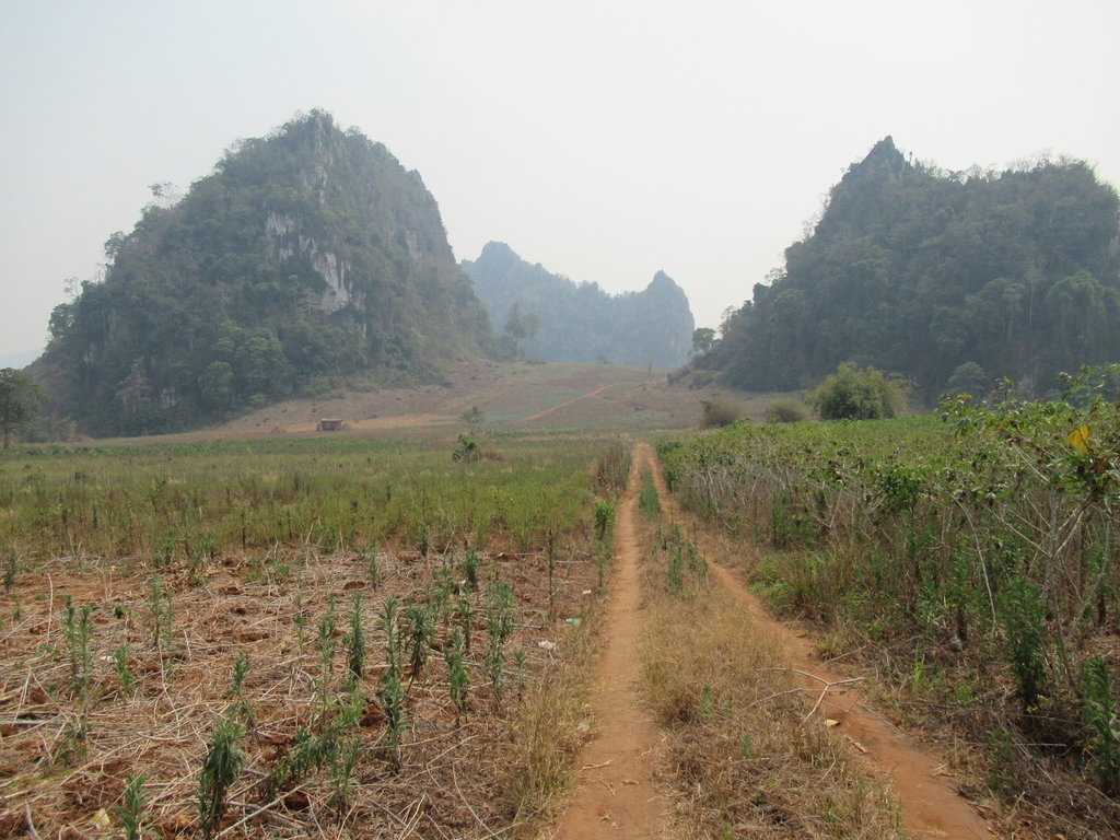
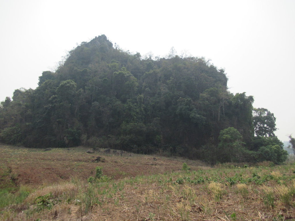
It looks slightly worse today than it did yesterday
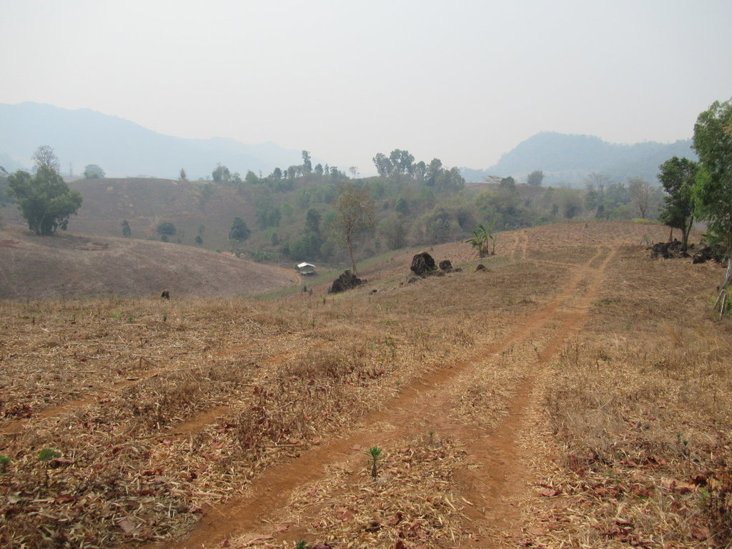
A friend said it was raining in Si Saket this morning and I hear storms are on the way, this will help clear the pollution but these tracks will be unrideable then for me
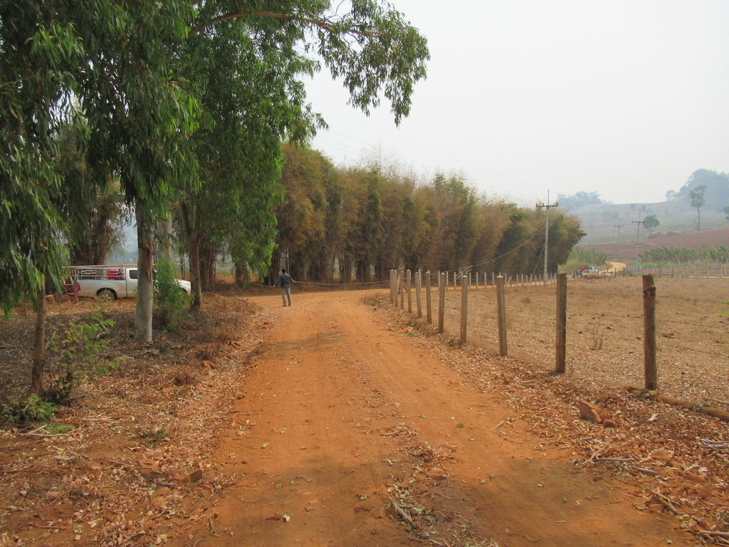
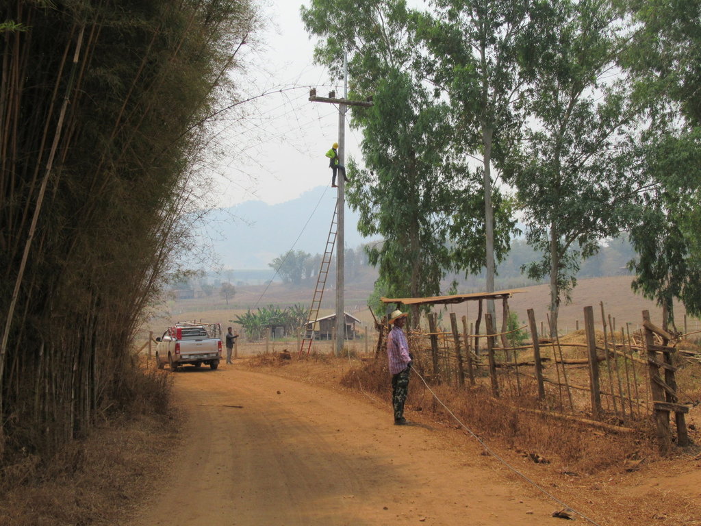
Good to see the one up the pole has his hard hat on, not that it will do him any good if he falls
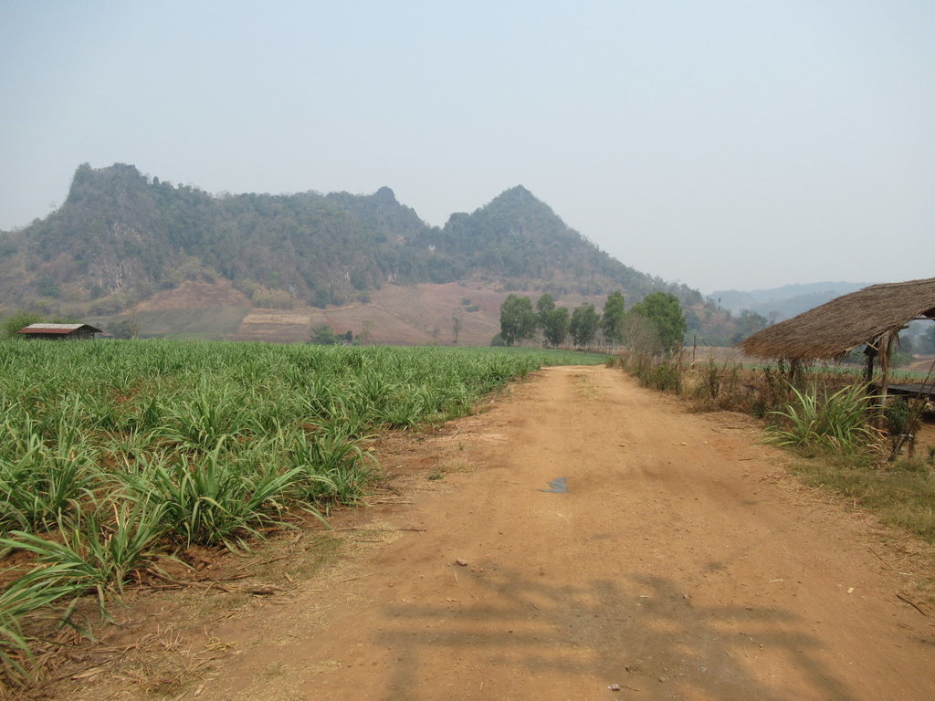
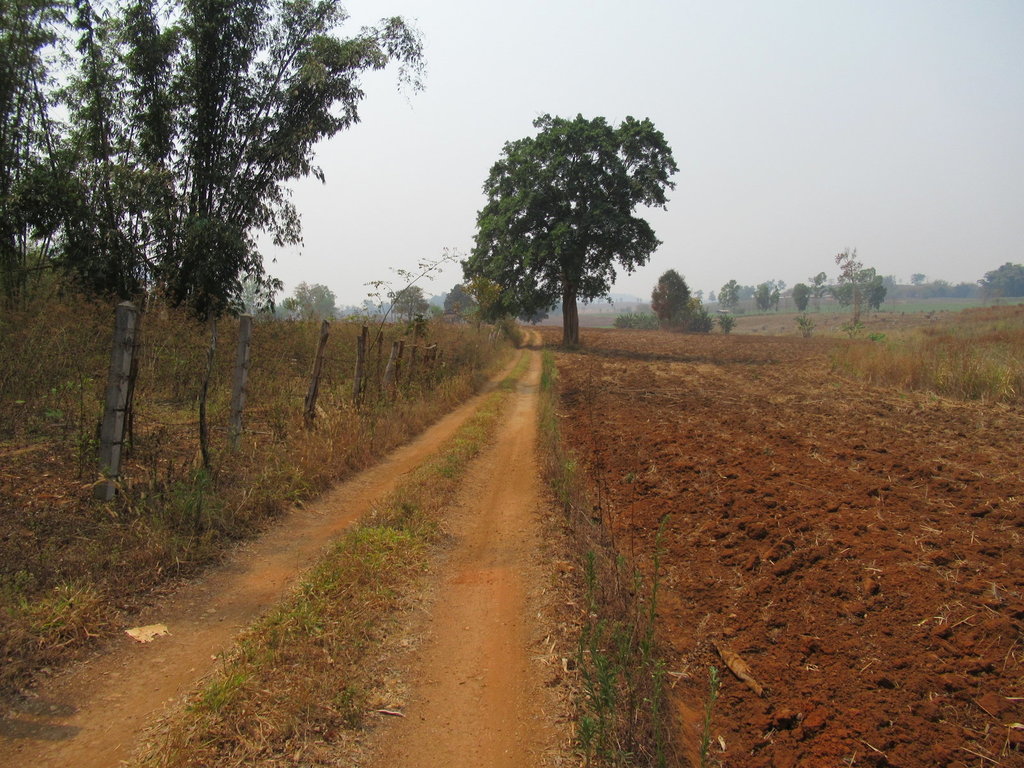
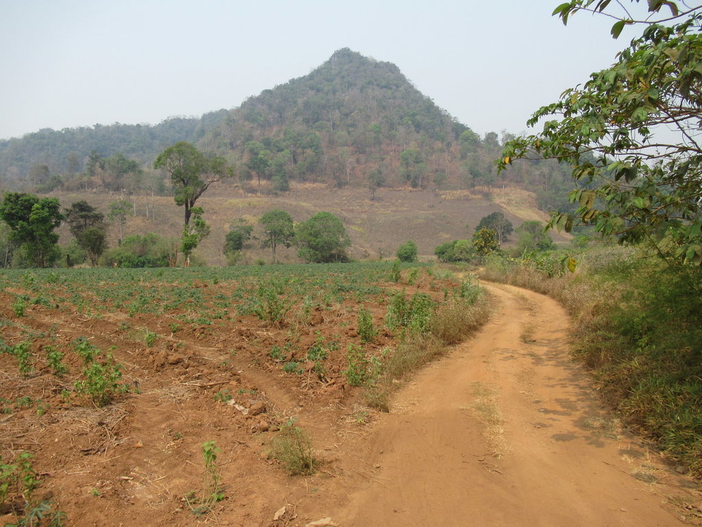
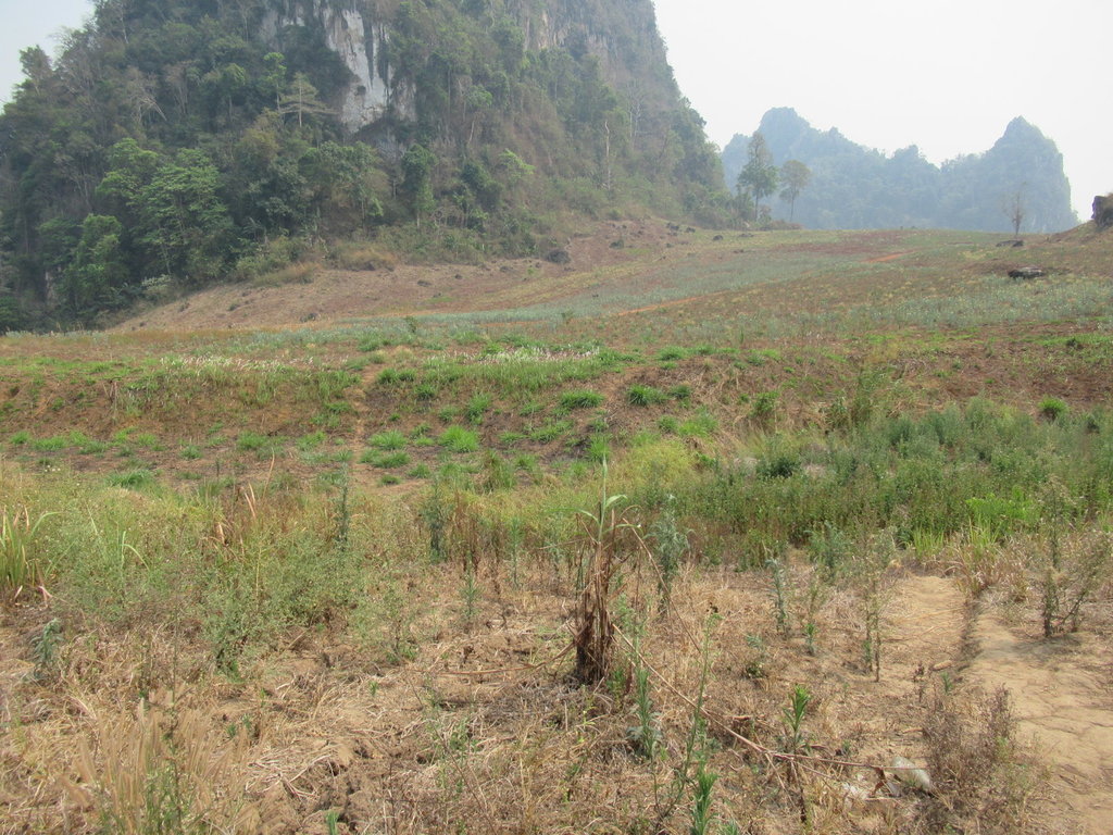
The Garmin GPS map shows tracks linking up but although I managed to link a couple most now dont exist all the way through
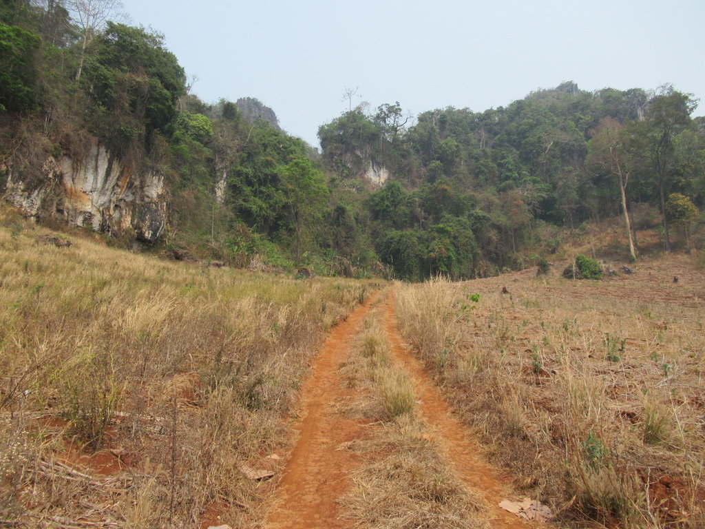
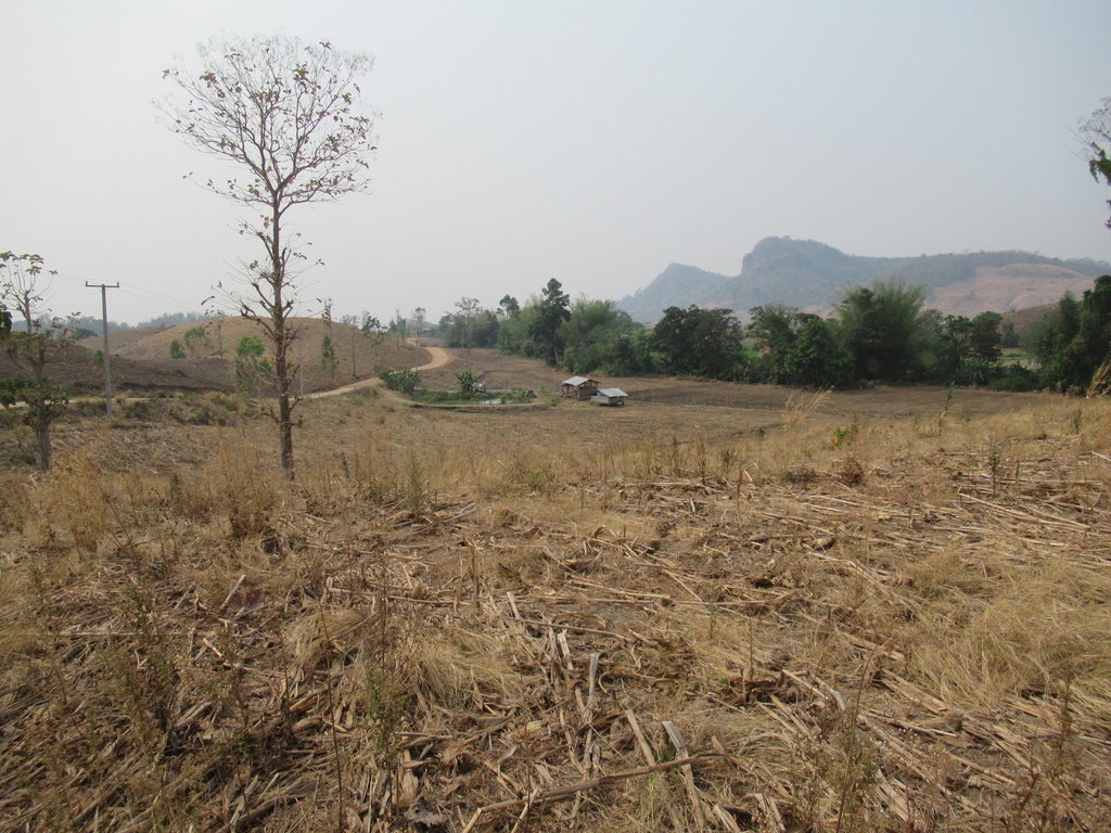
Close up its fine
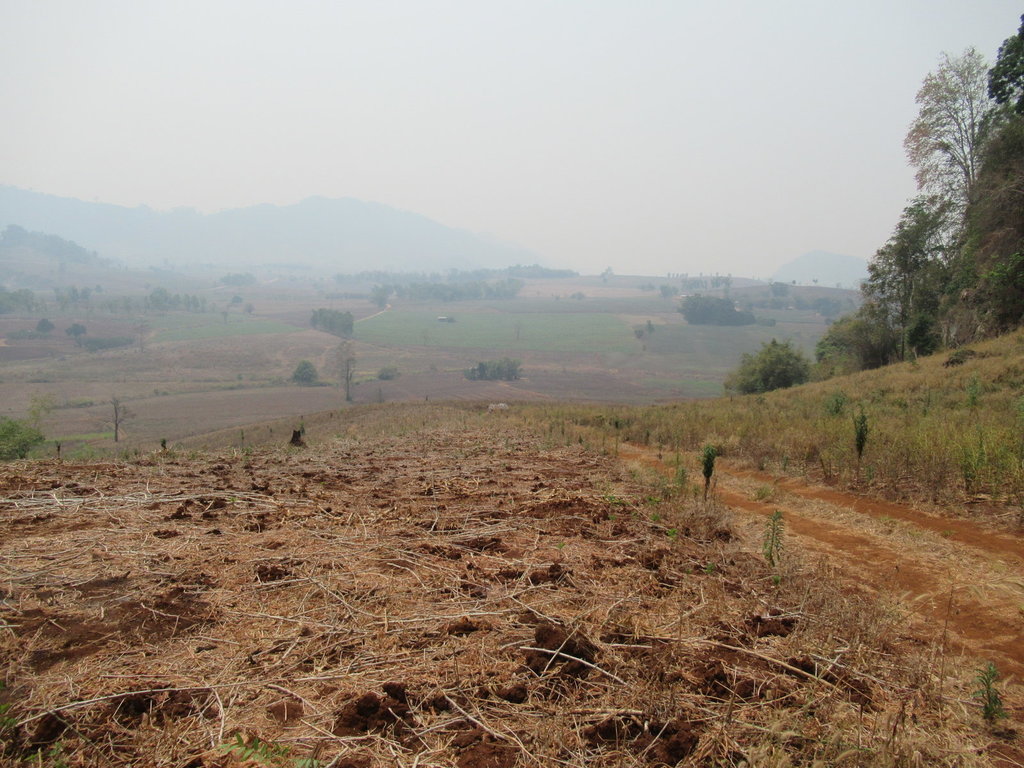
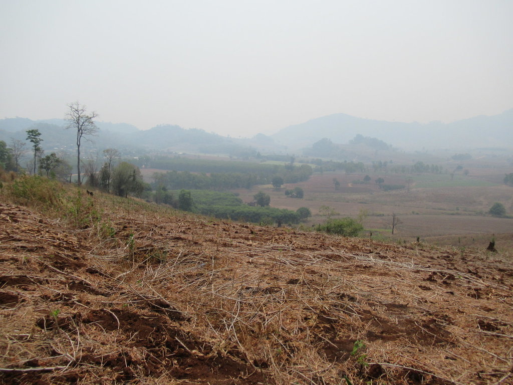
But long distance it looks shit
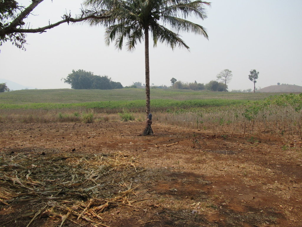
A scarecrow against the tree
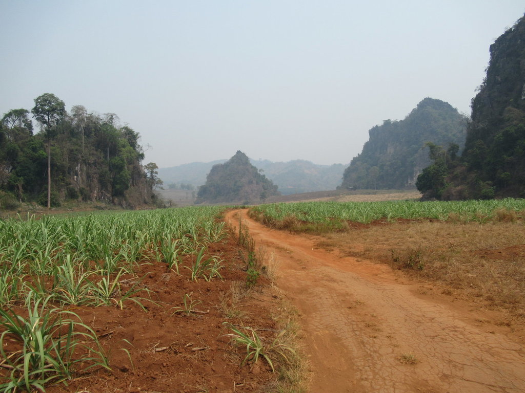
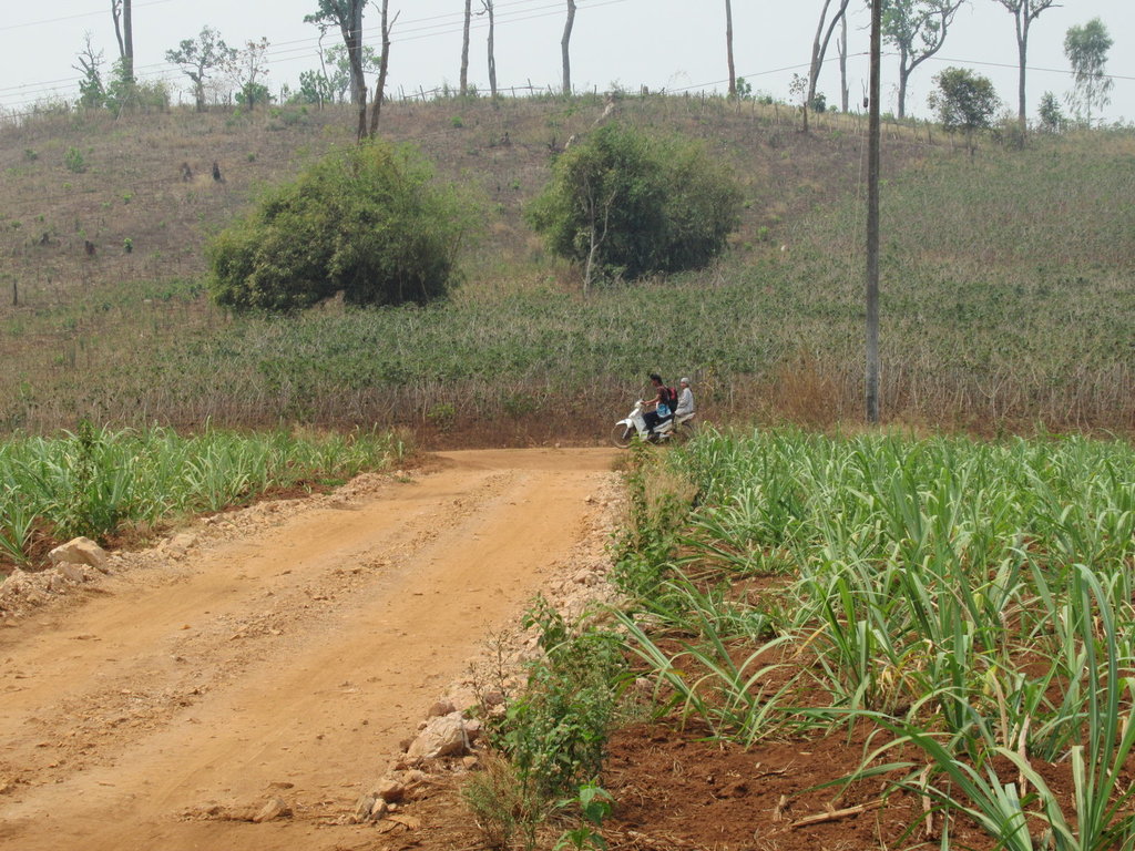
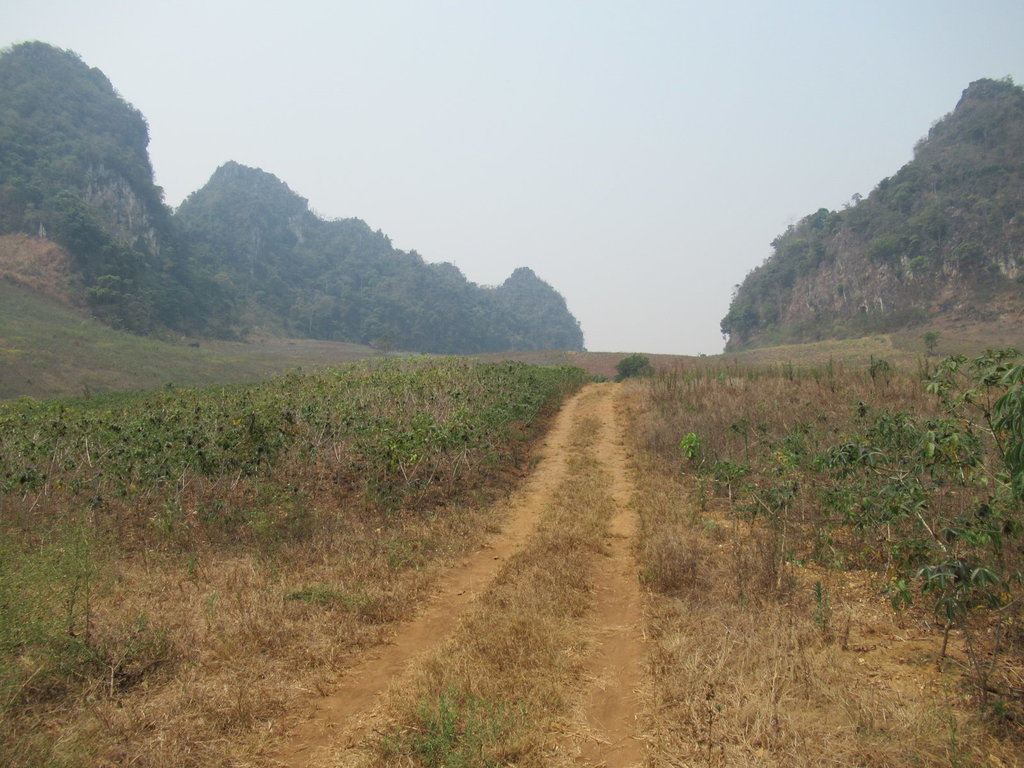
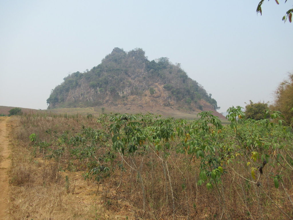
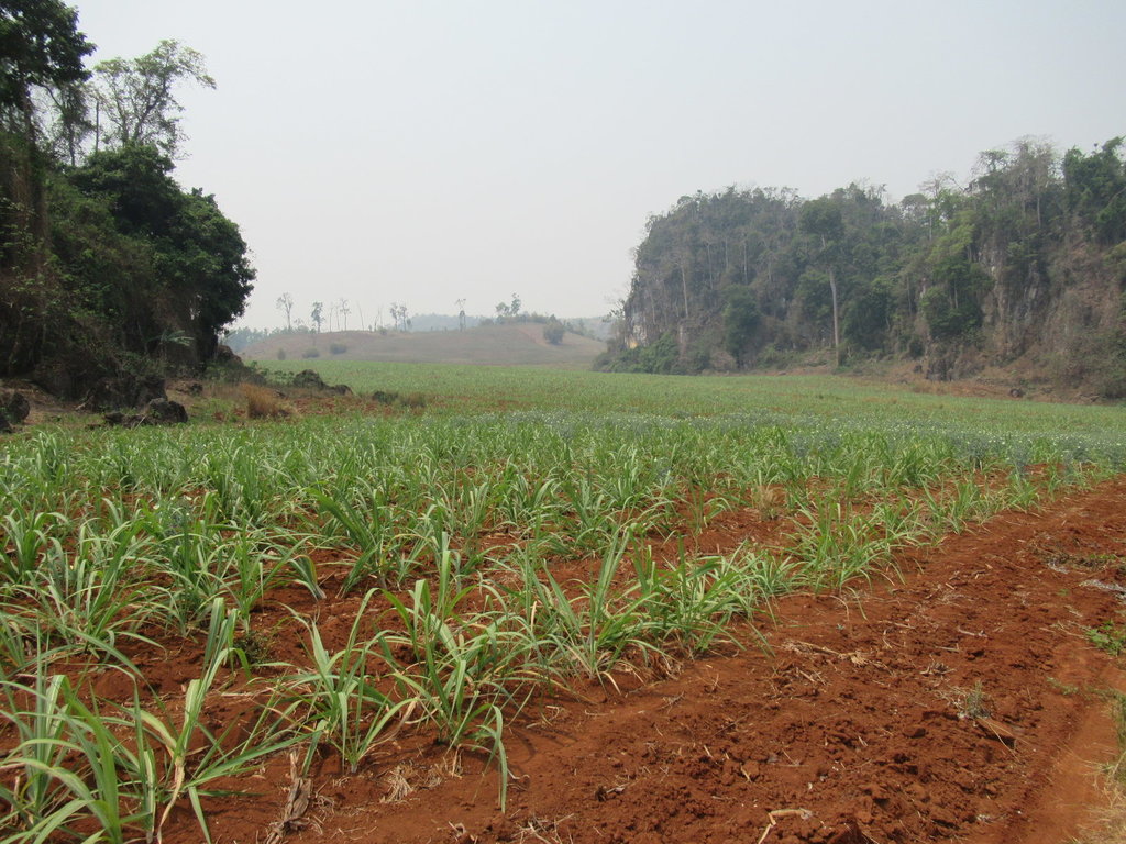
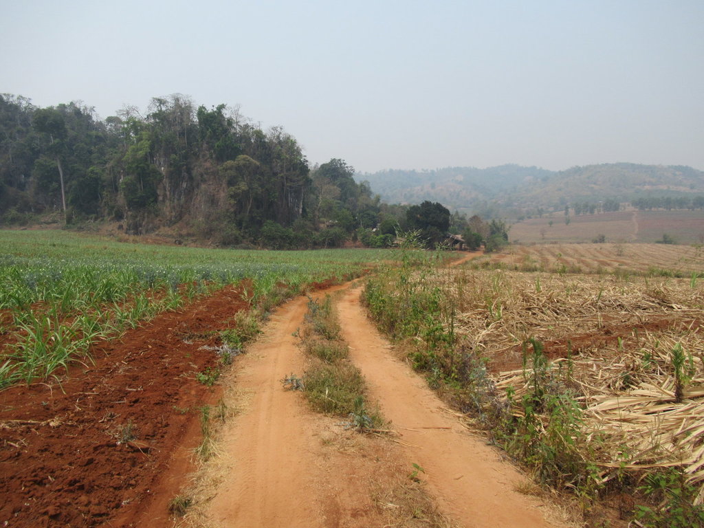
A settlement of Burmese live down this track
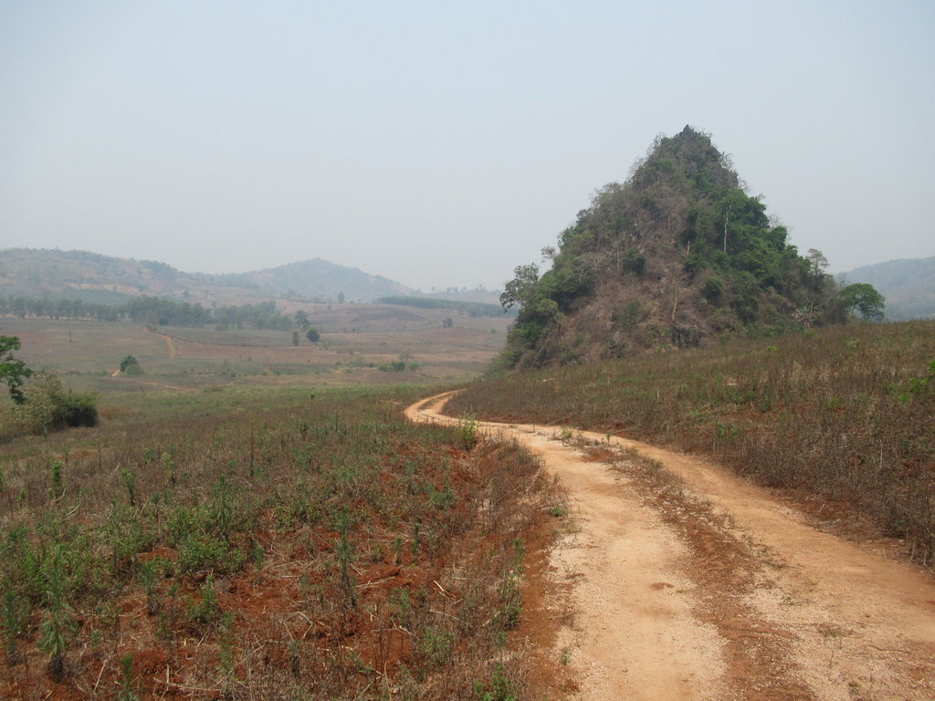
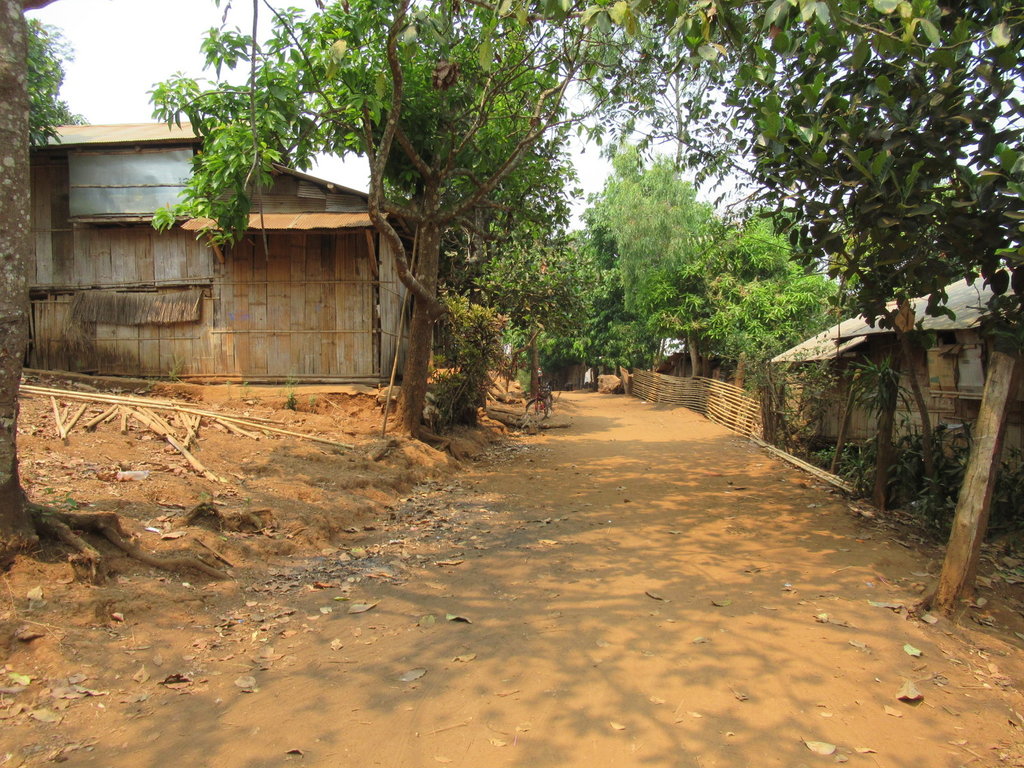
Riding through the settlement
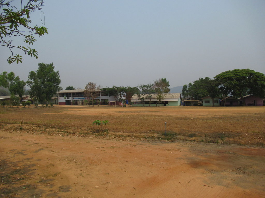
Just past the settlement is Ban Tham Phado School
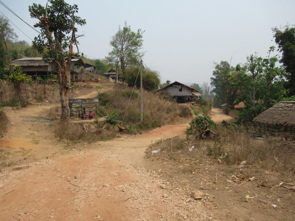
Riding through Ban Pang Ngua
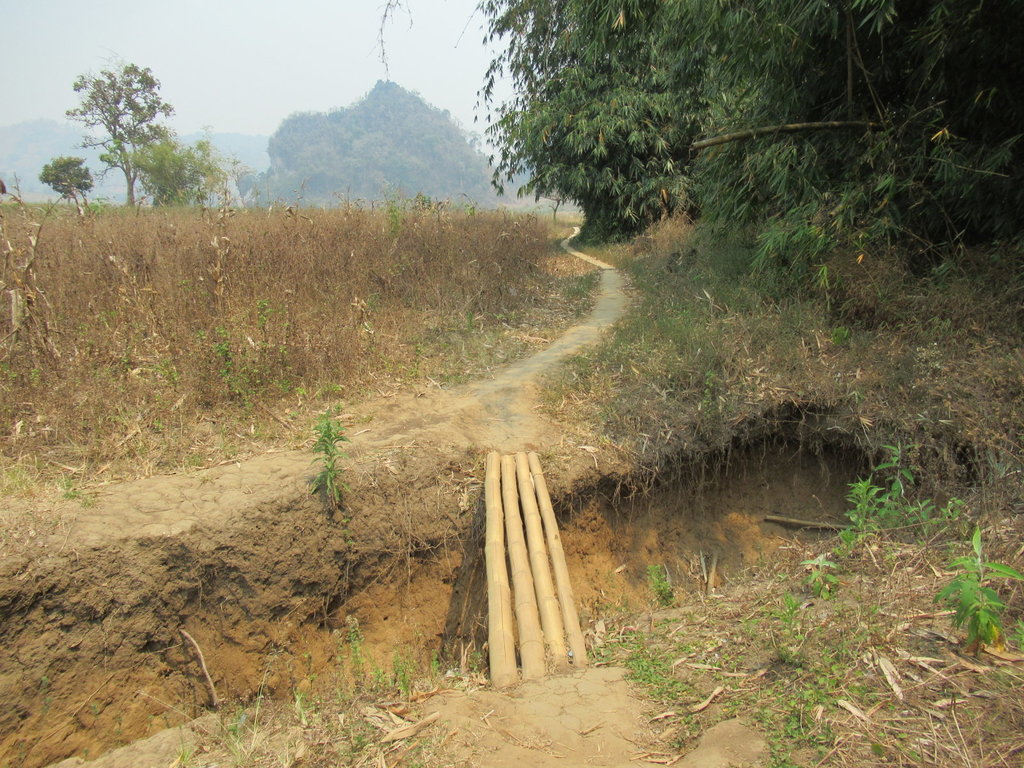
This track would have linked up but for this
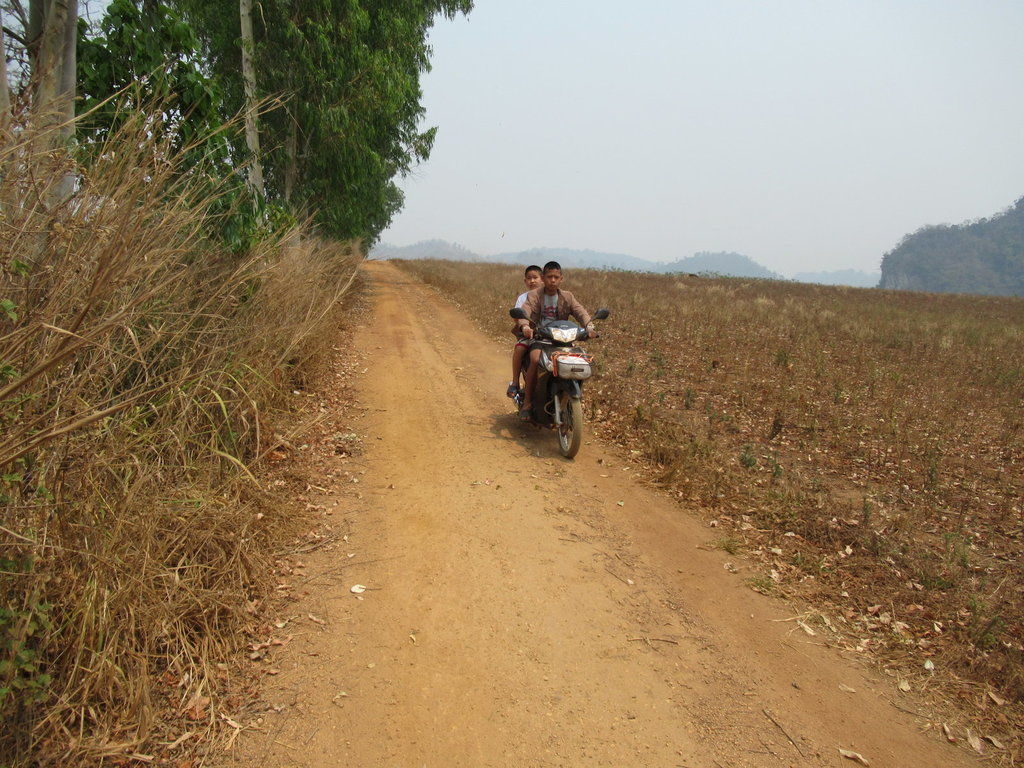
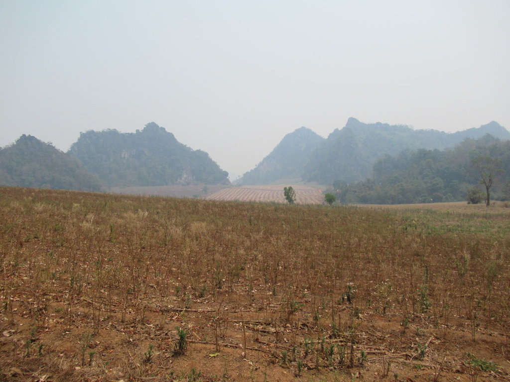
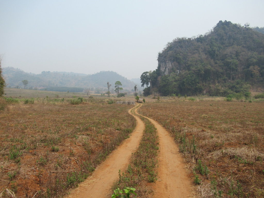
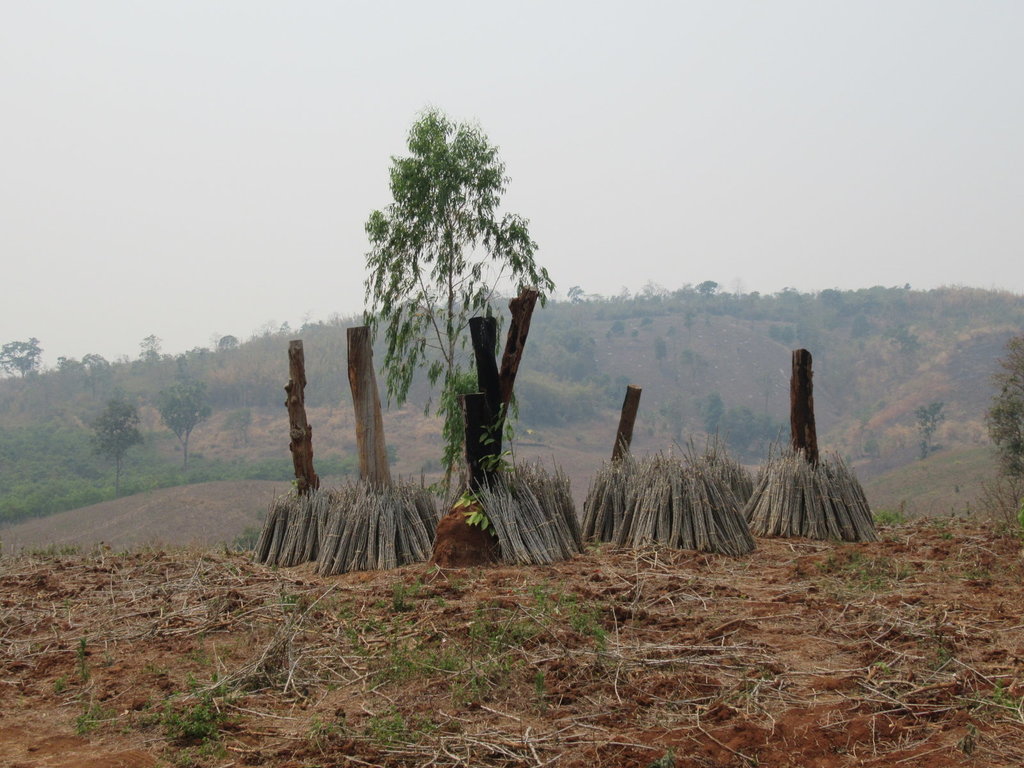
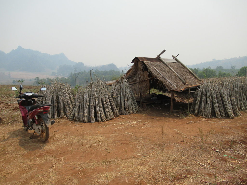
My breezy lunch spot
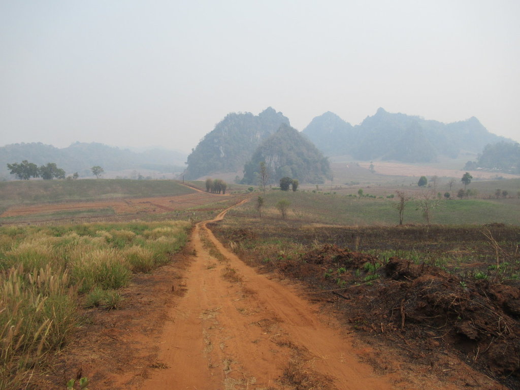
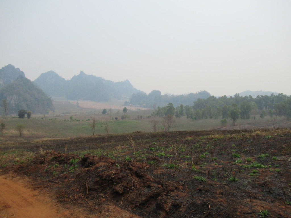
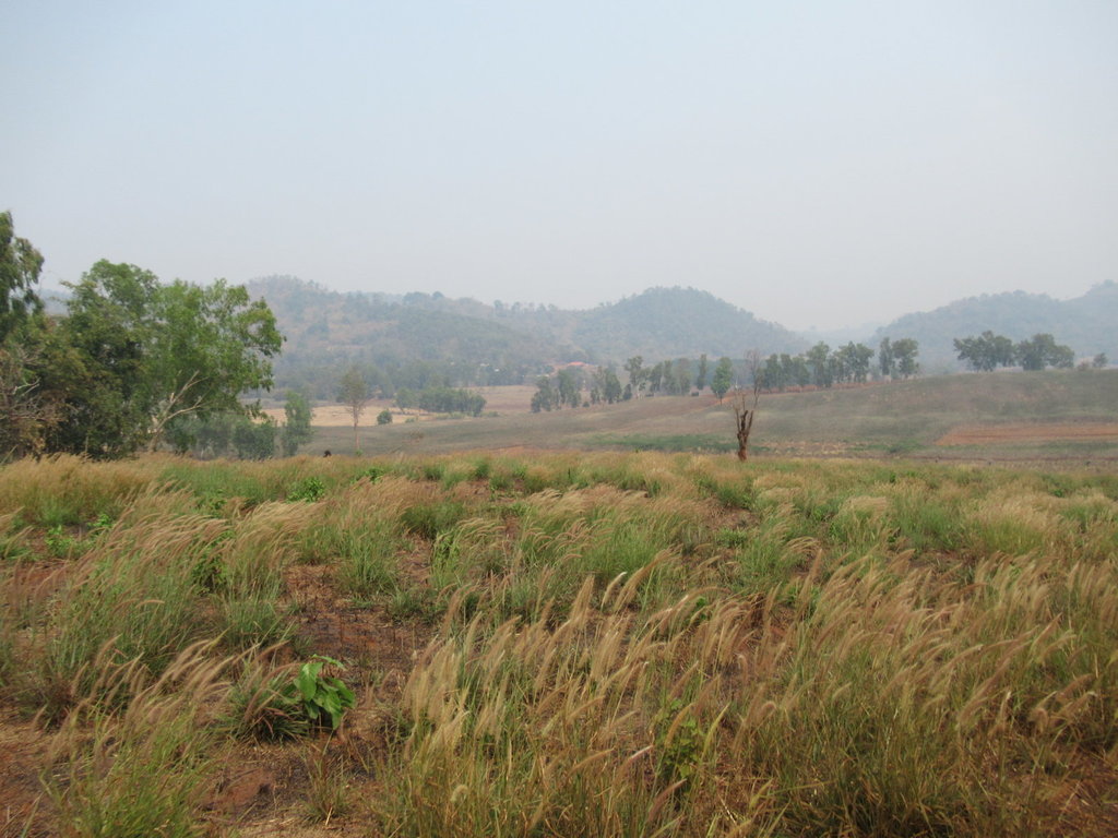
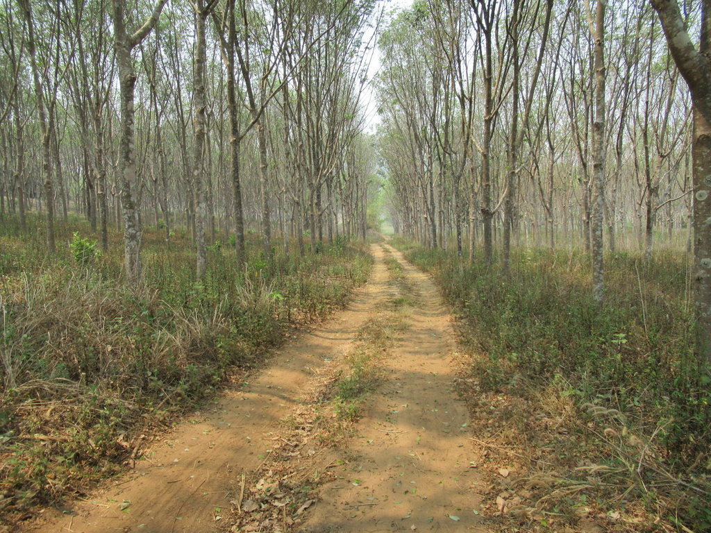
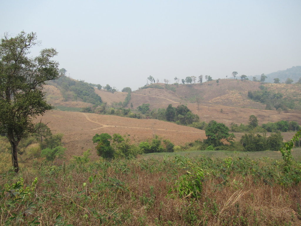
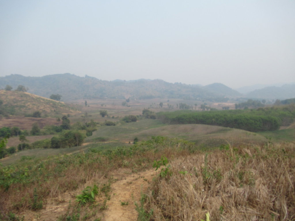
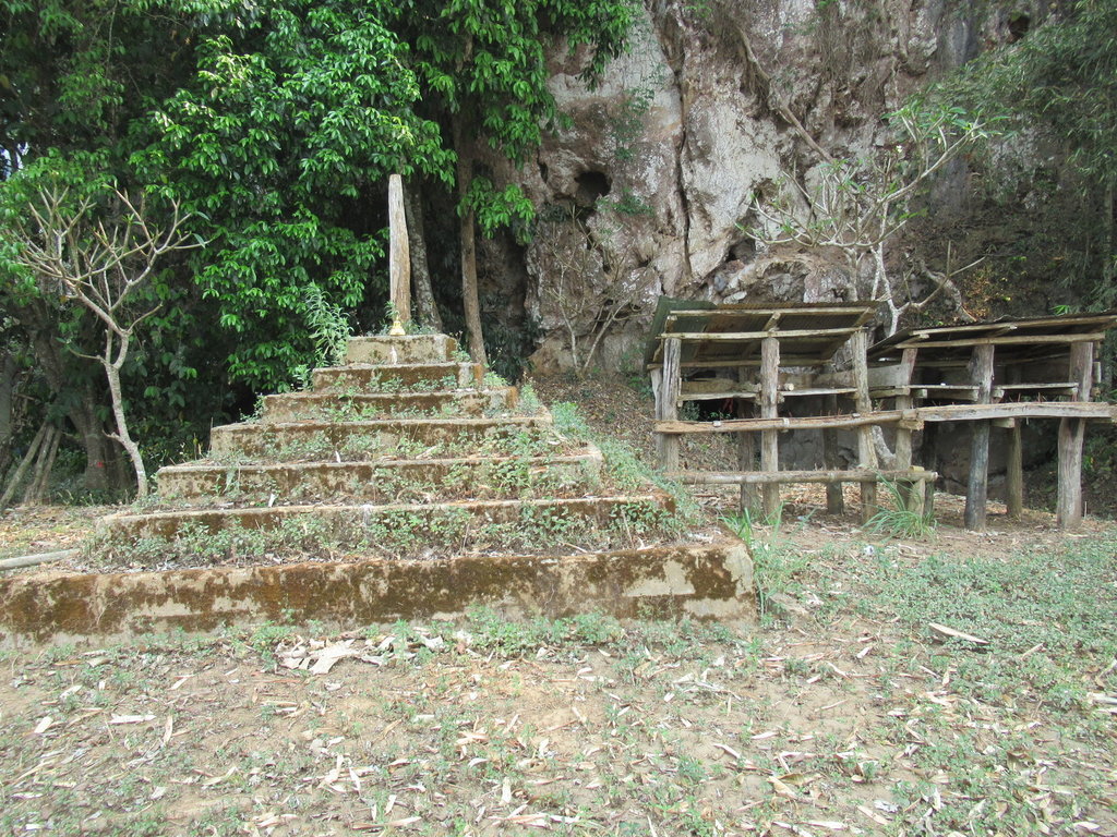
One side track ends here, no signs in place though
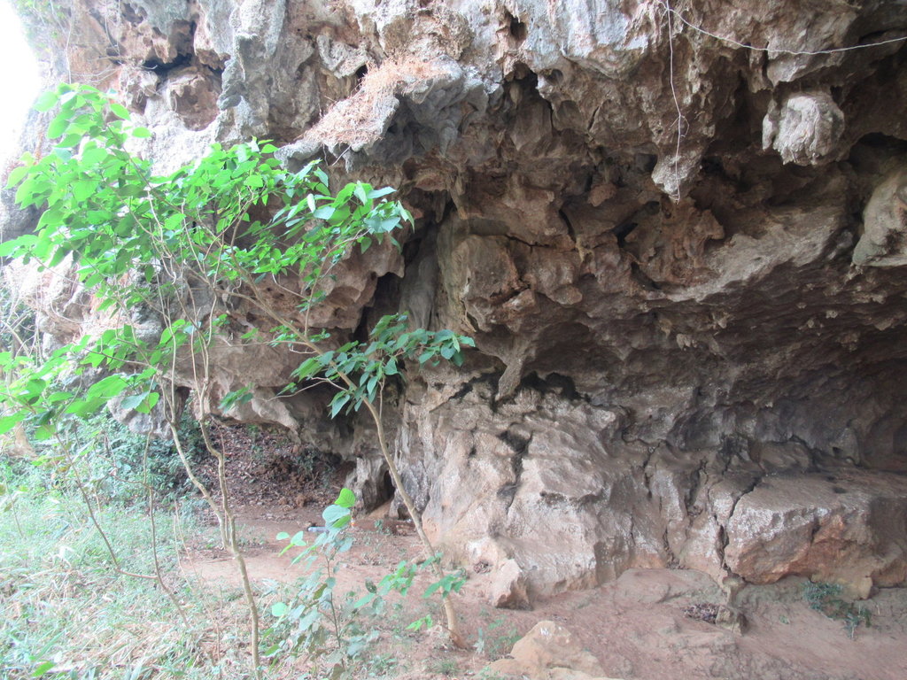
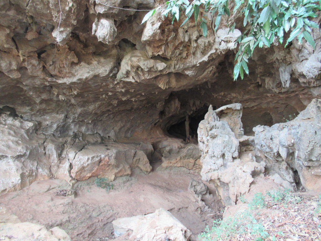
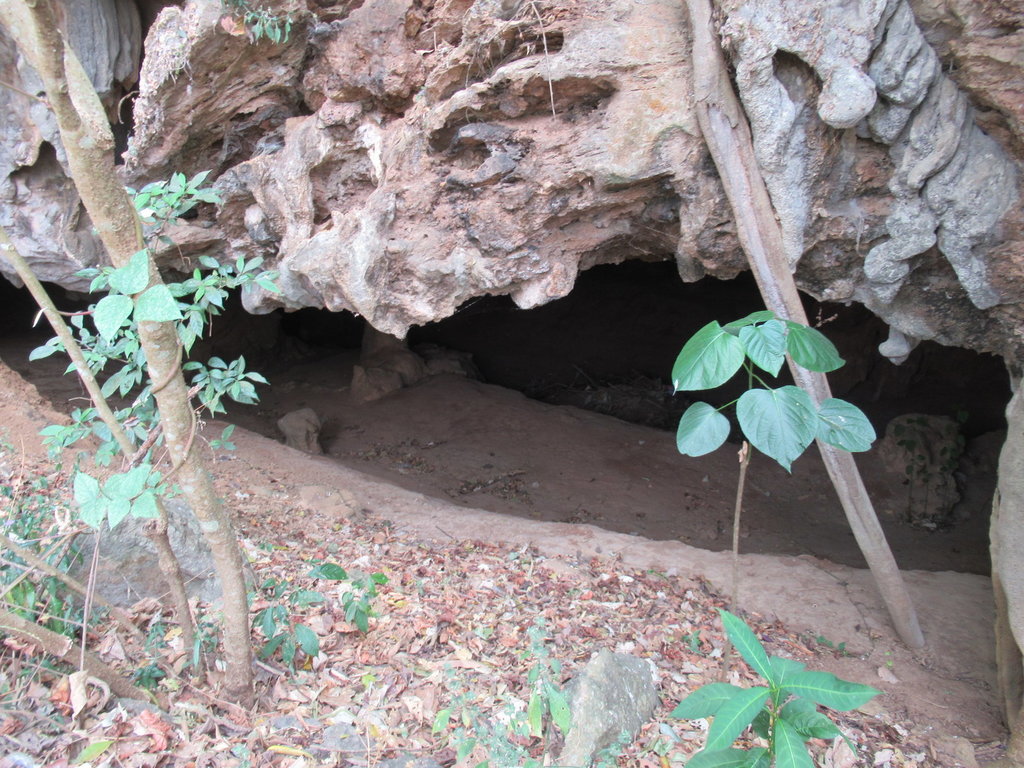
An unknown cave which I walk around inside
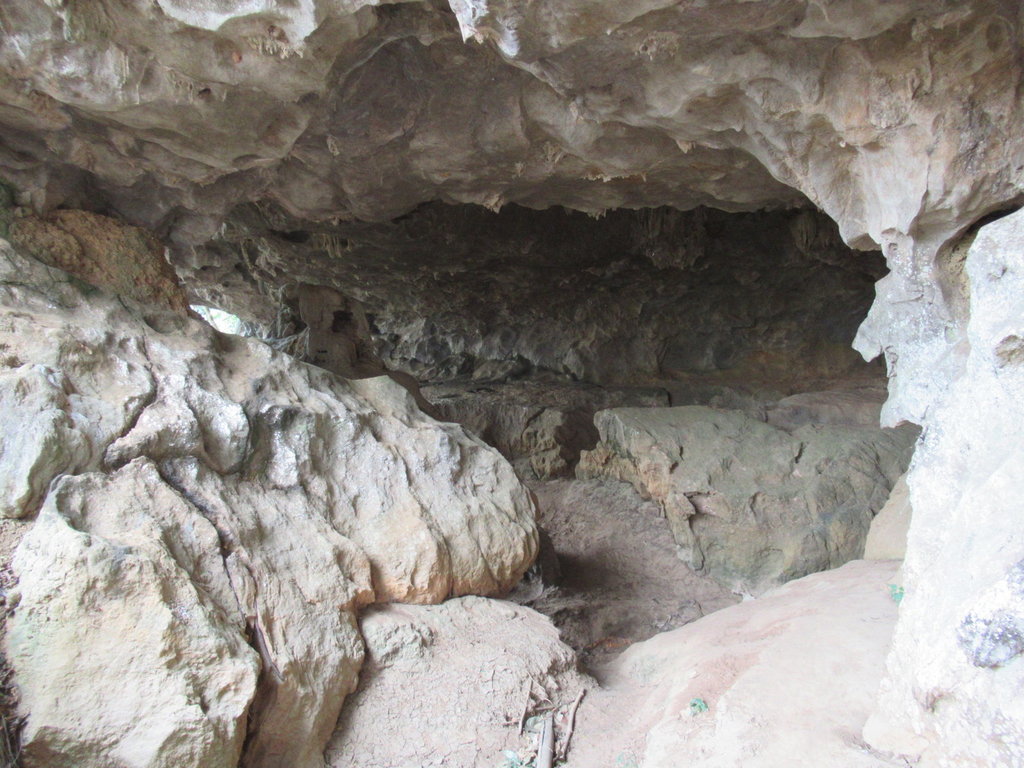
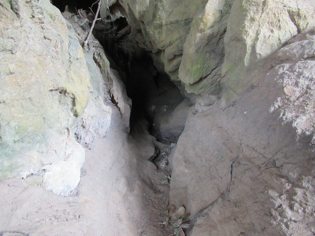
A deep gulley where the water flows in the wet season
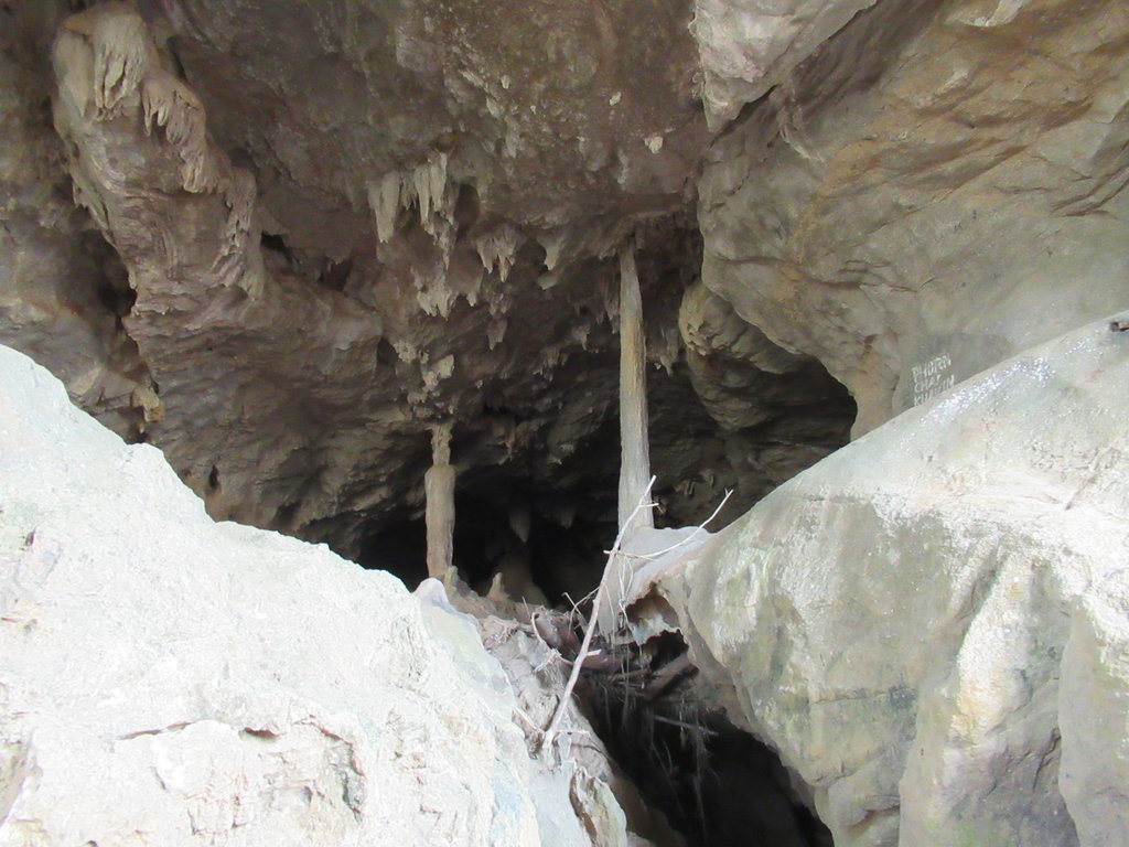
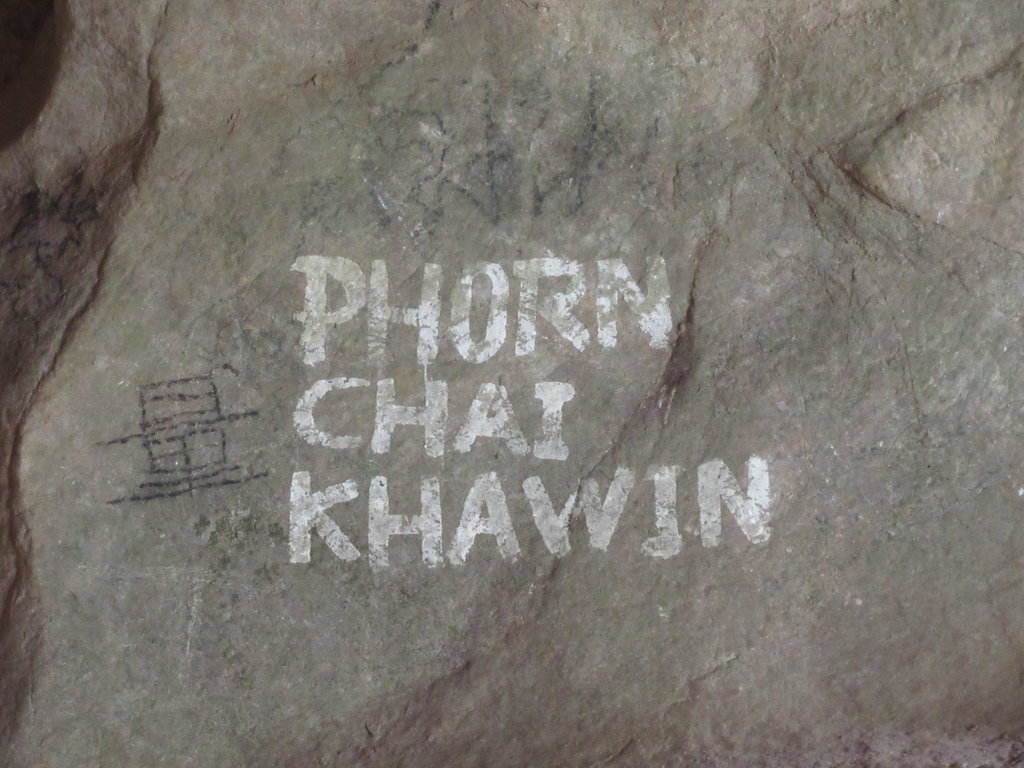
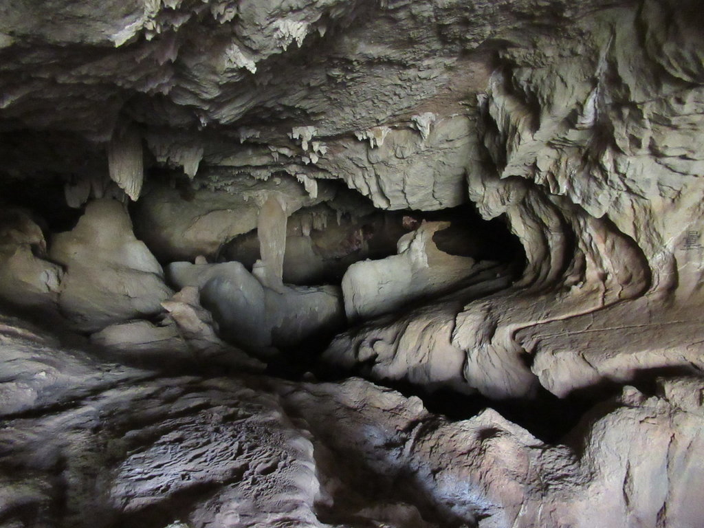
I dont walk any further as its easy to fall over in here but I can see light at the end so I walk around the outside for a bit
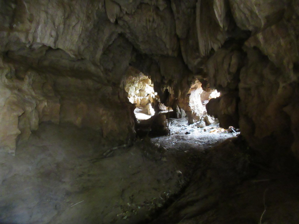
Another entrance but I cant see any light in the direction I have walked from
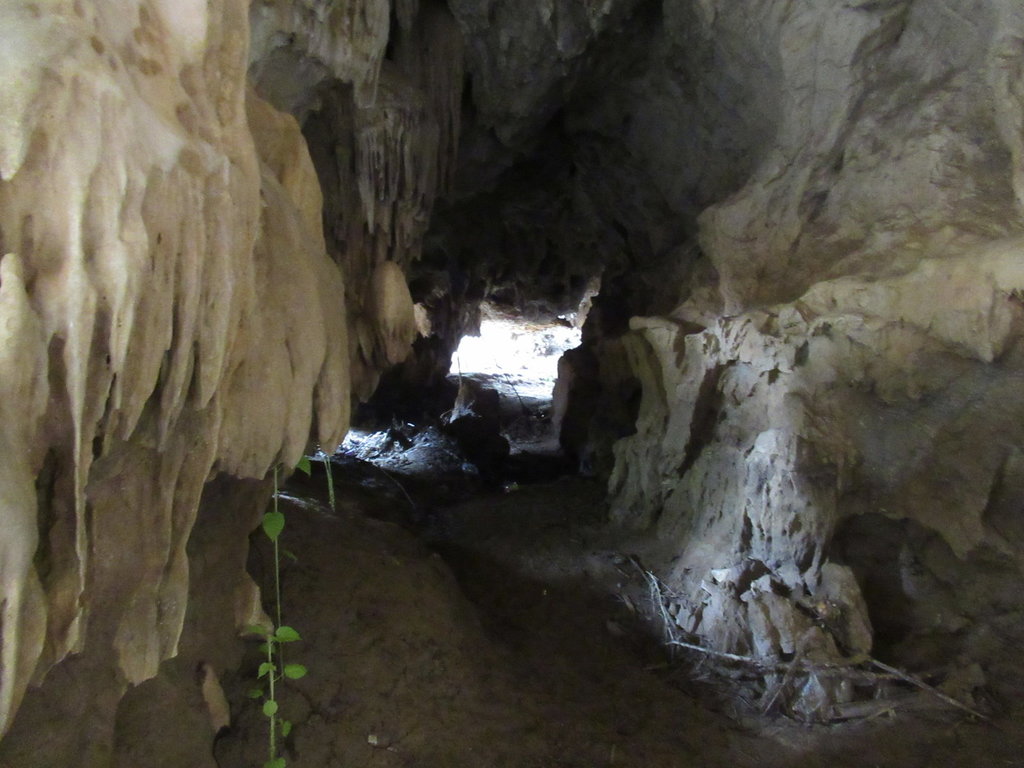
In the opposite direction is a third entrance
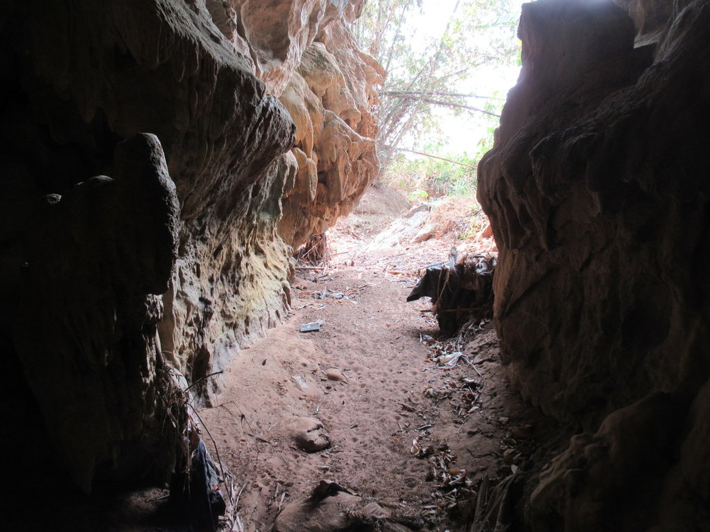
I exit into a dried up stream bed
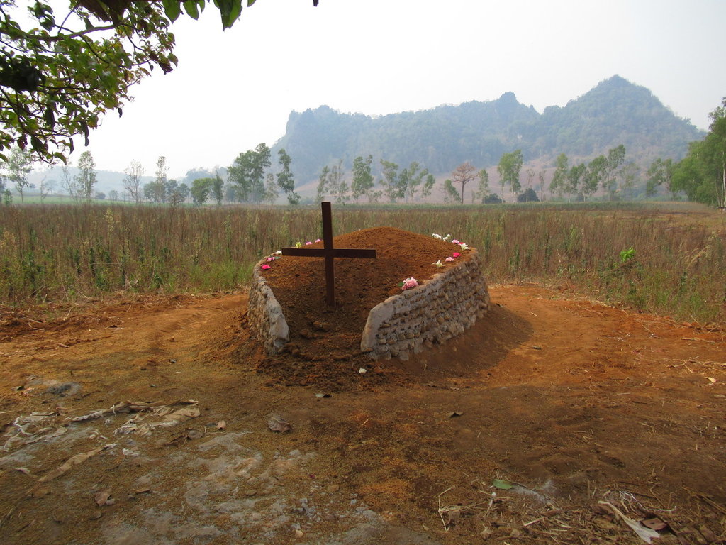
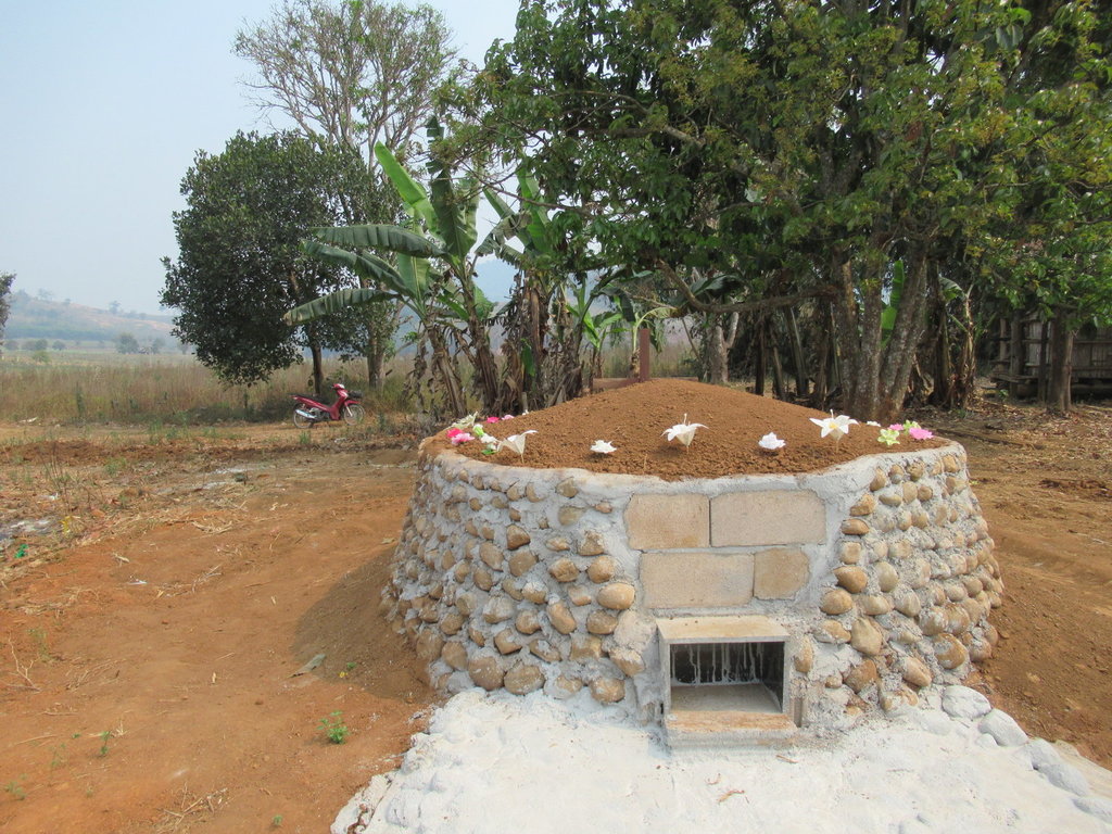
I passed a Church in the last village, not far away is this new grave
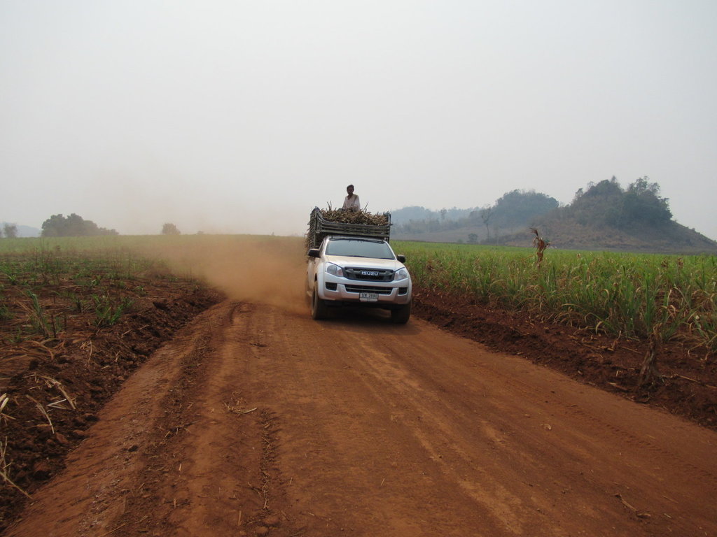
I stop, close my eyes and wait for the dust to settle before riding on
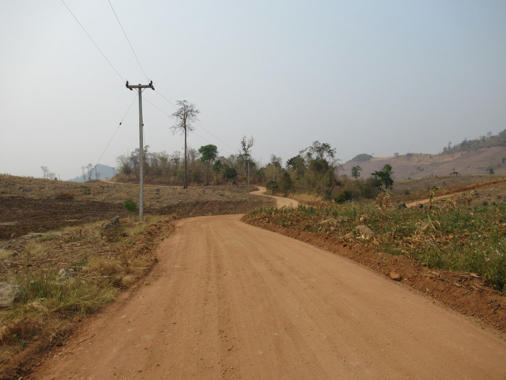
Back at the 4029 I decide to ride home a different way on a track I havent rode for a few years
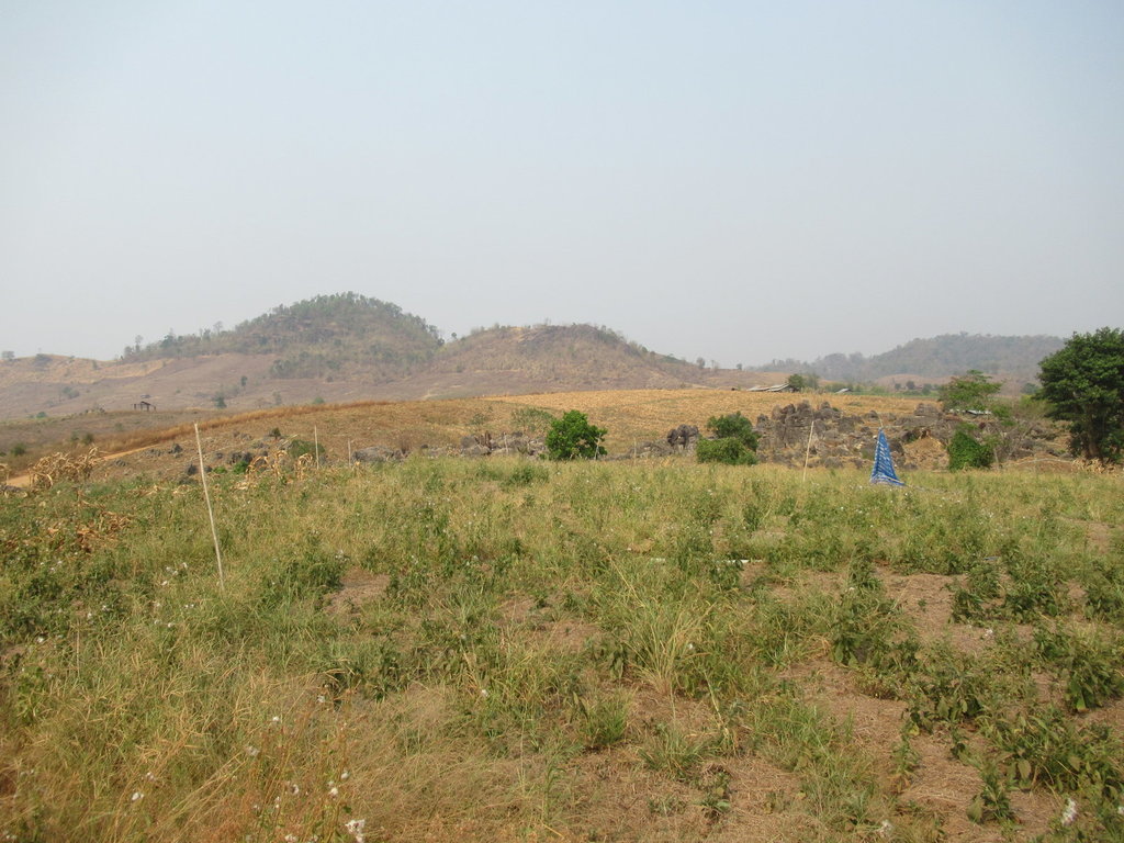
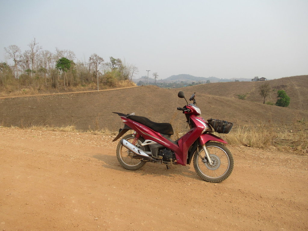
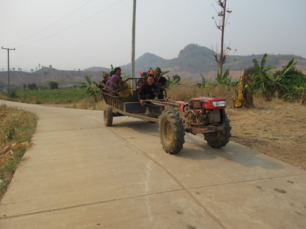
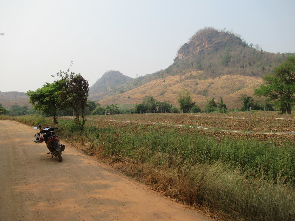
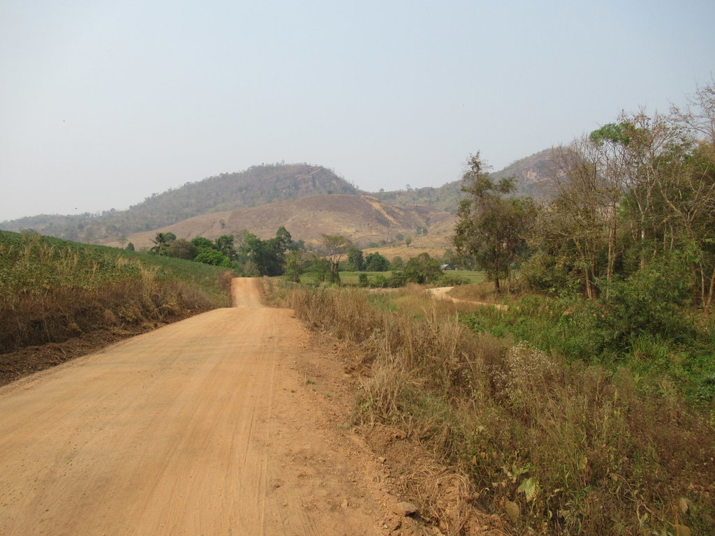
This used to be a bumpy rocky track but its a great surface now
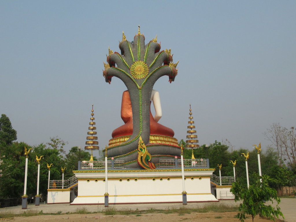
A Buddah statue that wasn't finished when I found it a few years ago
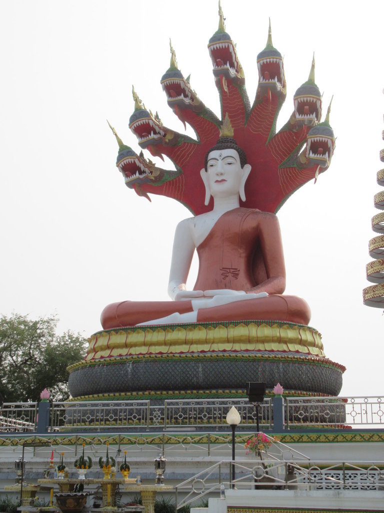
Now it is finished
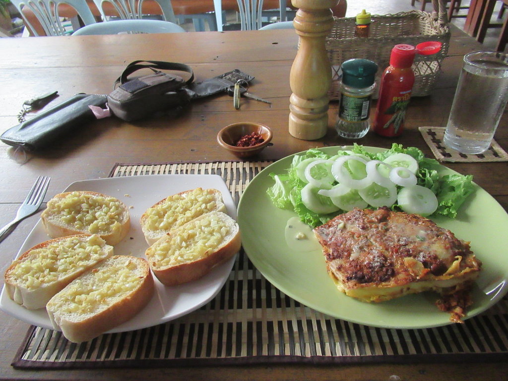
Beef lasagna, salad and garlic bread at Casa Mia 160 Baht

It looks slightly worse today than it did yesterday

A friend said it was raining in Si Saket this morning and I hear storms are on the way, this will help clear the pollution but these tracks will be unrideable then for me


Good to see the one up the pole has his hard hat on, not that it will do him any good if he falls


The Garmin GPS map shows tracks linking up but although I managed to link a couple most now dont exist all the way through

Close up its fine


But long distance it looks shit

A scarecrow against the tree


A settlement of Burmese live down this track


Riding through the settlement

Just past the settlement is Ban Tham Phado School


Riding through Ban Pang Ngua

This track would have linked up but for this


My breezy lunch spot


One side track ends here, no signs in place though


An unknown cave which I walk around inside


A deep gulley where the water flows in the wet season


I dont walk any further as its easy to fall over in here but I can see light at the end so I walk around the outside for a bit

Another entrance but I cant see any light in the direction I have walked from

In the opposite direction is a third entrance

I exit into a dried up stream bed


I passed a Church in the last village, not far away is this new grave


I stop, close my eyes and wait for the dust to settle before riding on

Back at the 4029 I decide to ride home a different way on a track I havent rode for a few years


This used to be a bumpy rocky track but its a great surface now

A Buddah statue that wasn't finished when I found it a few years ago

Now it is finished

Beef lasagna, salad and garlic bread at Casa Mia 160 Baht

